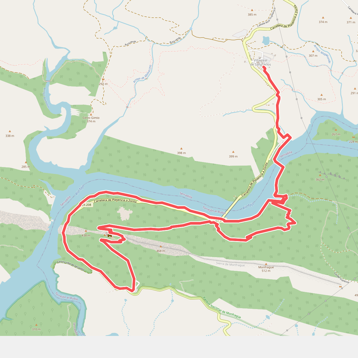
The best hiking routes in Parque Nacional de Monfragüe
Discover the best walks in Parque Nacional de Monfragüe. 7 routes on the map, with descriptions, photos and GPX.
About Parque Nacional de Monfragüe
Parque Nacional de Monfragüe is defined by its dramatic quartzite ridges slicing through a vast landscape of Mediterranean scrub and dehesa pastureland. Walkers here should expect a terrain of sharp contrasts, where steep, rocky paths climb to vantage points overlooking the Tagus and Tiétar rivers, while lower trails wind through open holm and cork oak woodlands. The underfoot conditions vary from hard, stony mountain tracks that require sturdy footwear to softer, dusty dirt roads through the valleys. Unlike flatter Spanish plains, this park demands some short, steep climbs, but it lacks the high alpine peaks or deep forested gorges found in northern ranges.
Read more
About Parque Nacional de Monfragüe
Parque Nacional de Monfragüe is defined by its dramatic quartzite ridges slicing through a vast landscape of Mediterranean scrub and dehesa pastureland. Walkers here should expect a terrain of sharp contrasts, where steep, rocky paths climb to vantage points overlooking the Tagus and Tiétar rivers, while lower trails wind through open holm and cork oak woodlands. The underfoot conditions vary from hard, stony mountain tracks that require sturdy footwear to softer, dusty dirt roads through the valleys. Unlike flatter Spanish plains, this park demands some short, steep climbs, but it lacks the high alpine peaks or deep forested gorges found in northern ranges.
Read moreParque Nacional de Monfragüe is defined by its dramatic quartzite ridges slicing through a vast landscape of Mediterranean scrub and dehesa pastureland. Walkers here should expect a terrain of sharp contrasts, where steep, rocky paths climb to vantage points overlooking the Tagus and Tiétar rivers, while lower trails wind through open holm and cork oak woodlands. The underfoot conditions vary from hard, stony mountain tracks that require sturdy footwear to softer, dusty dirt roads through the valleys. Unlike flatter Spanish plains, this park demands some short, steep climbs, but it lacks the high alpine peaks or deep forested gorges found in northern ranges.
The distribution of vegetation is highly visible along the paths. North-facing slopes are densely covered with a humid, tangled Mediterranean maquis of strawberry trees, heather, and wild olive, which feels enclosed and shady. In contrast, the south-facing slopes are dry, rocky, and exposed, dominated by cistus shrubs that release a strong resinous scent. This stark difference in microclimate dictates where you will find shade during a summer walk and where the trail remains open to the elements.
Most walkers gather around the famous rock face of Peña Falcón and the castle ruins, where paved steps and handrails assist the climb. To find quieter trails, you must head deeper into the dehesa on the marked dirt tracks, such as the red or yellow routes, where the terrain flattens into rolling pastures. These paths are wide and easy to follow, though they offer little shade. In spring, particularly around April, these open areas are filled with wildflowers, while the rocky cliffs remain a constant, rugged backdrop throughout the year.
Hiking routes in Parque Nacional de Monfragüe (7)
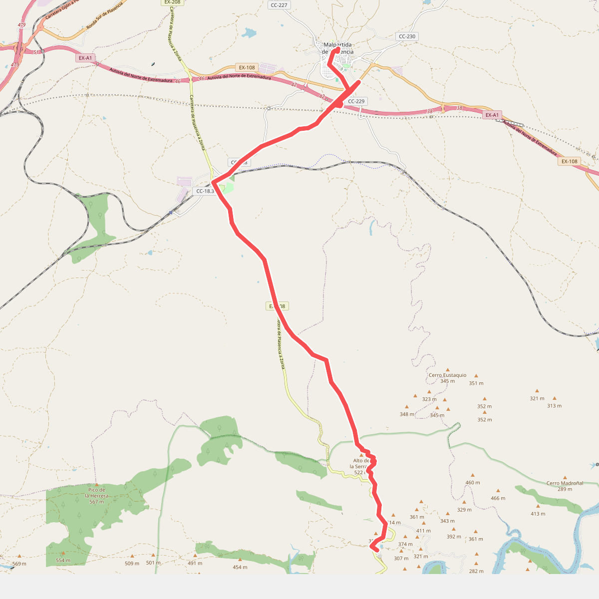
#1. Camino de Monfragüe - Etapa 2
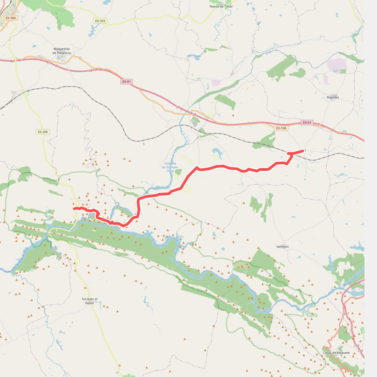
#2. Camino de Monfragüe - Etapa 3
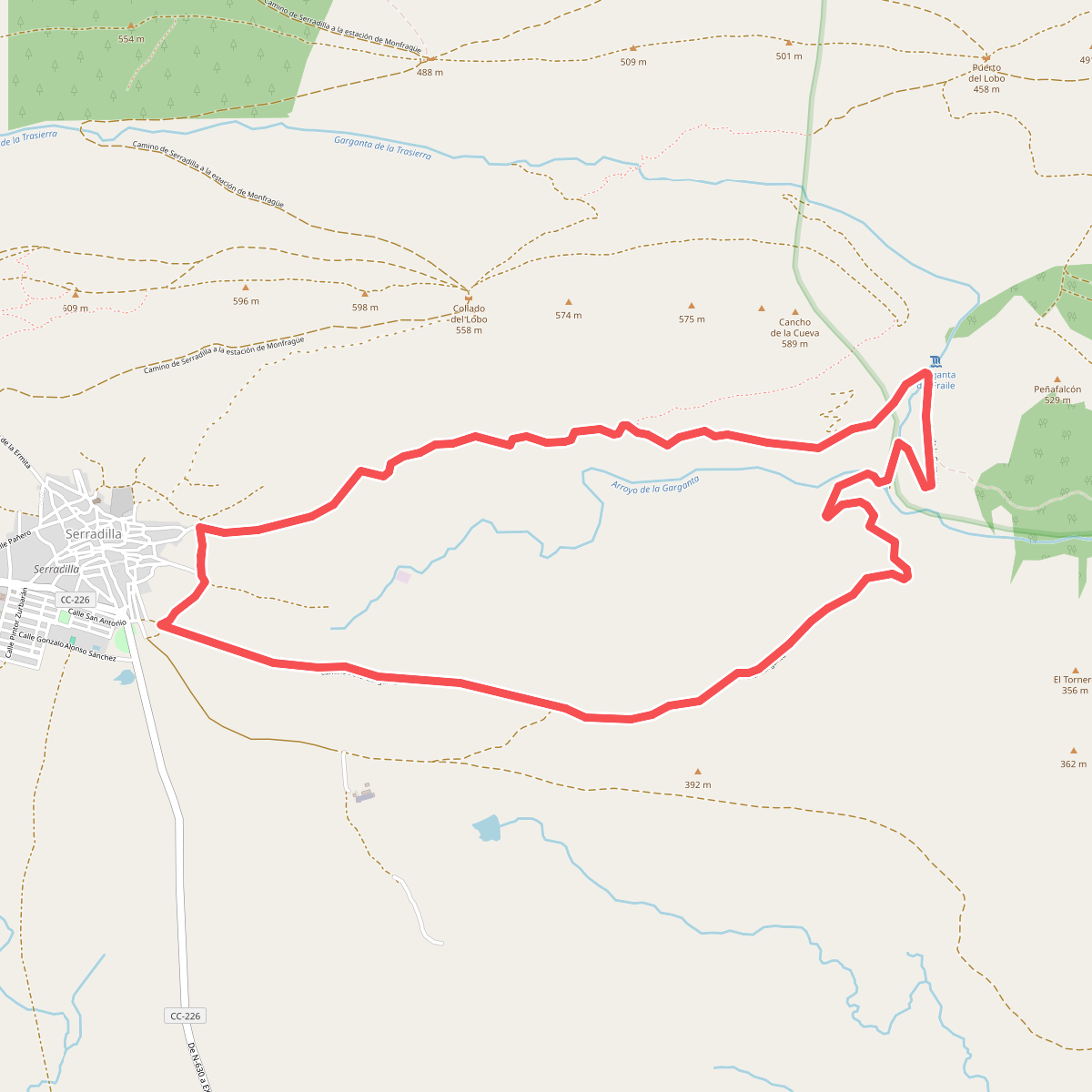
#3. Garganta del Fraile
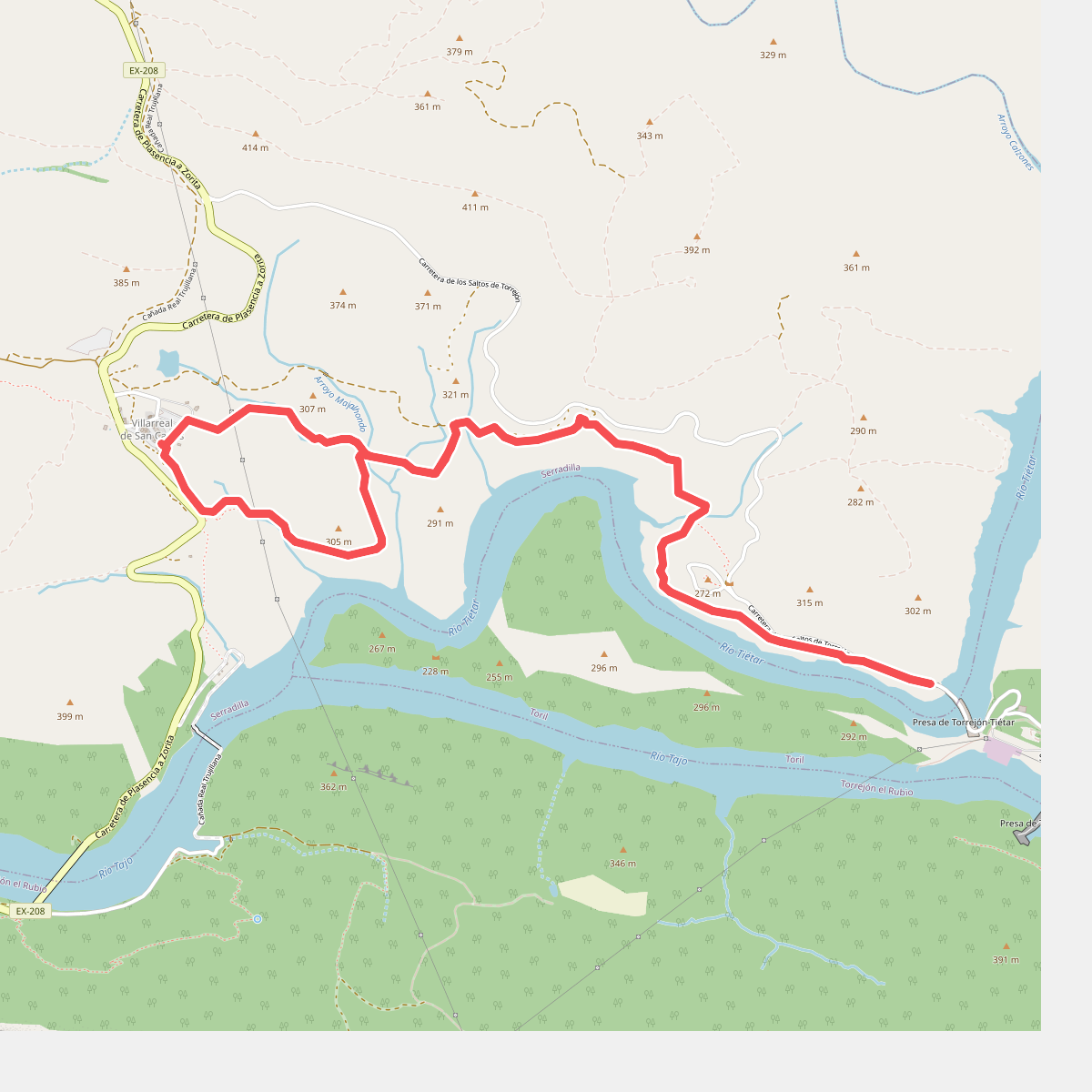
#4. Ruta de Mirador de la Tajadilla
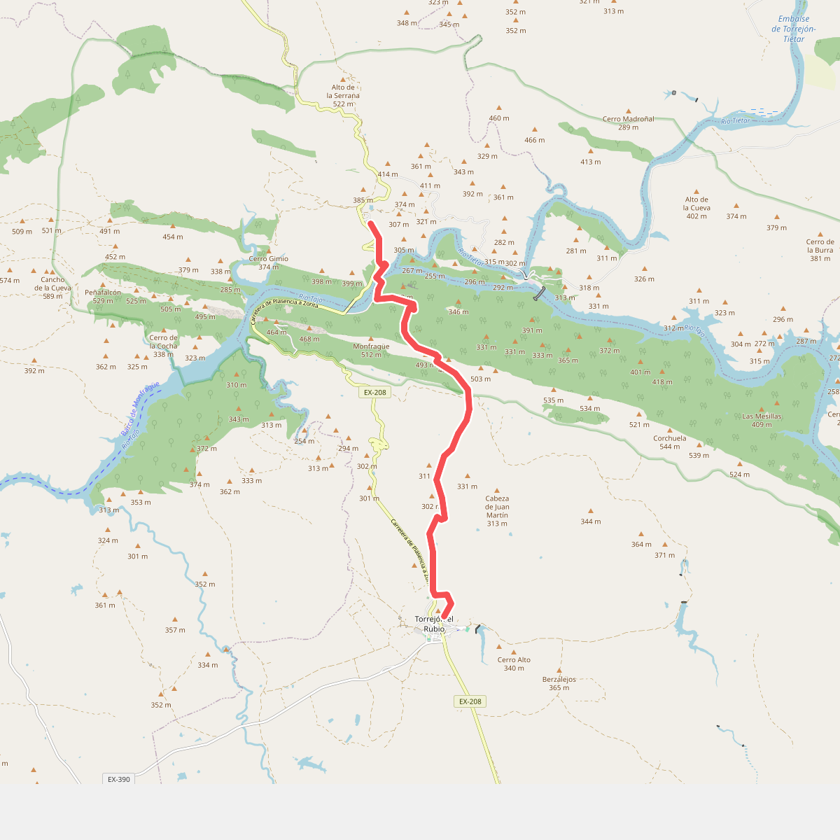
#5. Ruta de Torrejón el Rubio
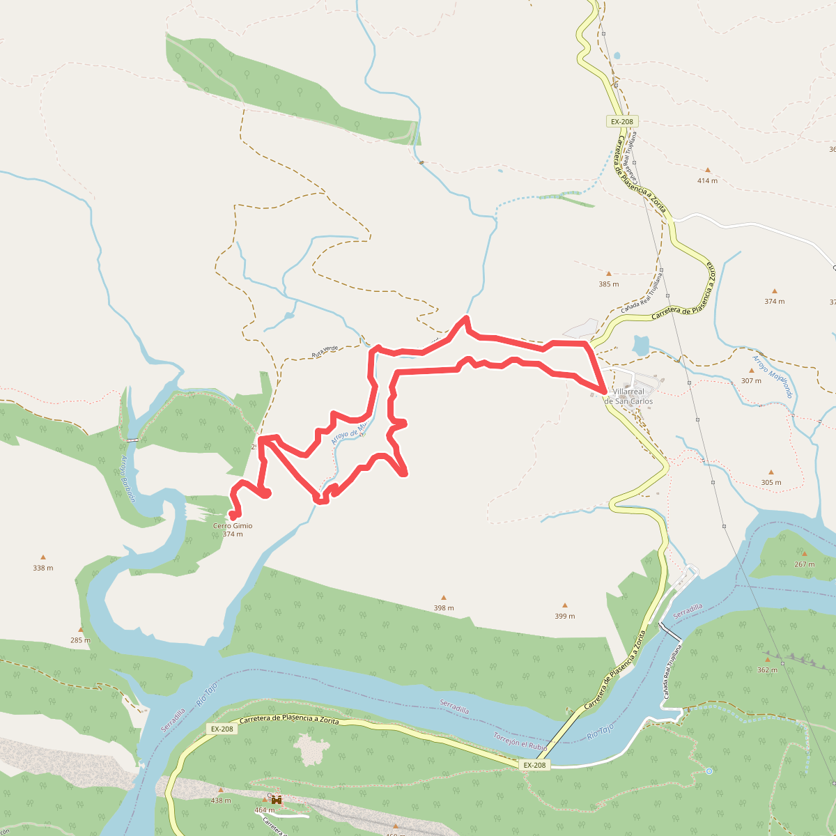
#6. Ruta del Arroyo de Malvecino-Cerro Gimio