

The best hiking routes in Parque Nacional de Garajonay
Discover the best walks in Parque Nacional de Garajonay. 29 routes on the map, with descriptions, photos and GPX.
About Parque Nacional de Garajonay
Parque Nacional de Garajonay occupies the high, central plateau of La Gomera, where the landscape is dominated by dense, ancient laurel forest. Unlike the dry, volcanic coastlines of the island, this interior highland is characterized by persistent mist and high humidity. Walkers will find a closed canopy of evergreen trees, including laurel, linden, and heather that grows to the size of trees. The forest floor is thick with ferns, mosses, and lichens that thrive in the damp, shaded conditions.
Read more
About Parque Nacional de Garajonay
Parque Nacional de Garajonay occupies the high, central plateau of La Gomera, where the landscape is dominated by dense, ancient laurel forest. Unlike the dry, volcanic coastlines of the island, this interior highland is characterized by persistent mist and high humidity. Walkers will find a closed canopy of evergreen trees, including laurel, linden, and heather that grows to the size of trees. The forest floor is thick with ferns, mosses, and lichens that thrive in the damp, shaded conditions.
Read moreParque Nacional de Garajonay occupies the high, central plateau of La Gomera, where the landscape is dominated by dense, ancient laurel forest. Unlike the dry, volcanic coastlines of the island, this interior highland is characterized by persistent mist and high humidity. Walkers will find a closed canopy of evergreen trees, including laurel, linden, and heather that grows to the size of trees. The forest floor is thick with ferns, mosses, and lichens that thrive in the damp, shaded conditions.
The walking network consists of damp earth paths, stone steps, and occasional wooden walkways. Underfoot, the ground is often soft and covered in leaf litter, which can become slick from the condensation of the trade-wind mists. The terrain is undulating rather than alpine, with gentle climbs through the deep forest, though some trails descend sharply into steep-sided ravines (barrancos) or lead to exposed basaltic domes like Roque de Agando on the park boundary.
In the higher, more exposed southern sections, the dense forest transitions into drier heathland, offering clearer views of the surrounding ridges. While the core forest tracks feel sheltered and enclosed, the peripheral paths are more open to the elements. Well-known trailheads like Laguna Grande can be busy with visitors, but choosing the longer, steeper peripheral routes quickly leads to quieter, more demanding forest tracks.
Hiking routes in Parque Nacional de Garajonay (29)
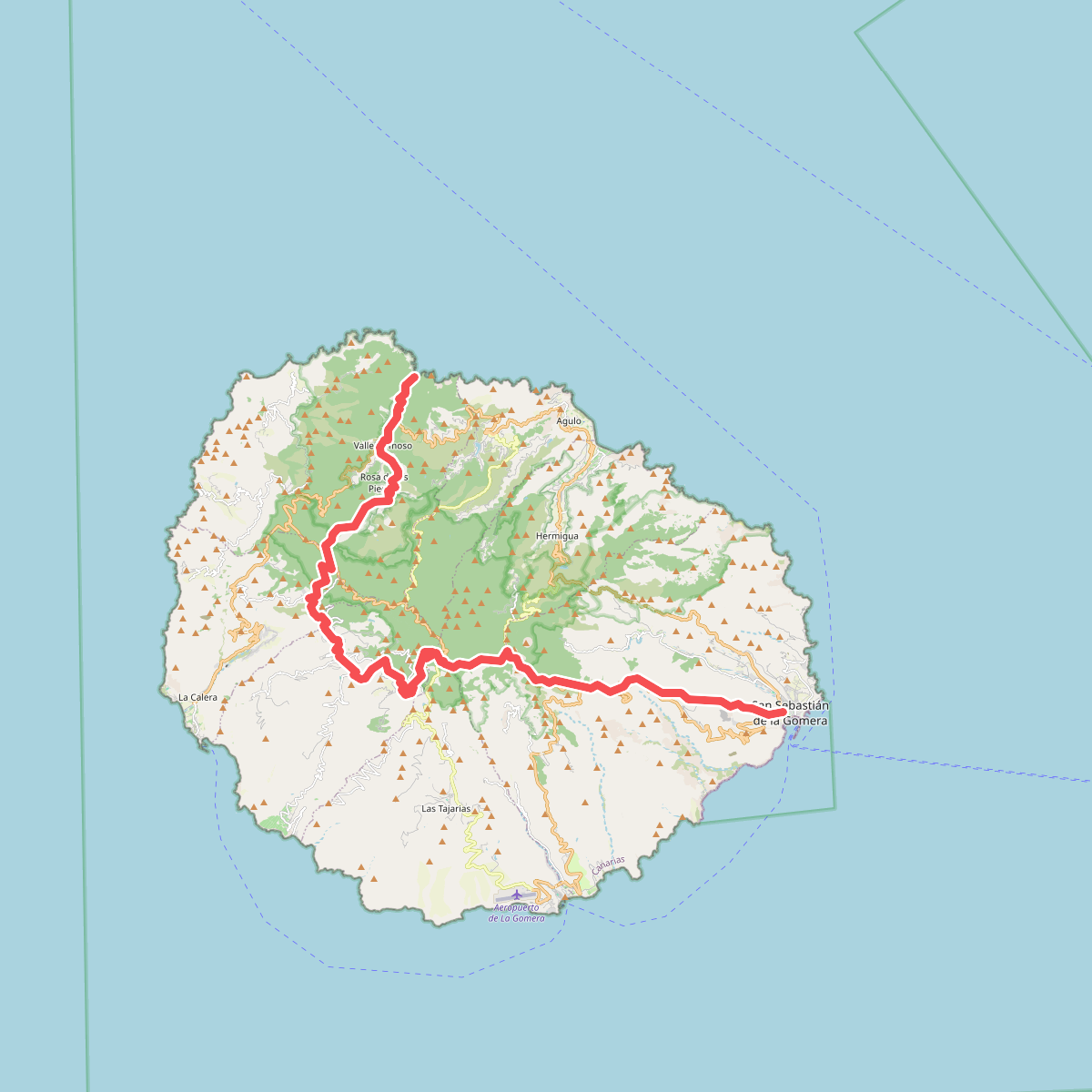
#1. European long distance path E7 · GR 131
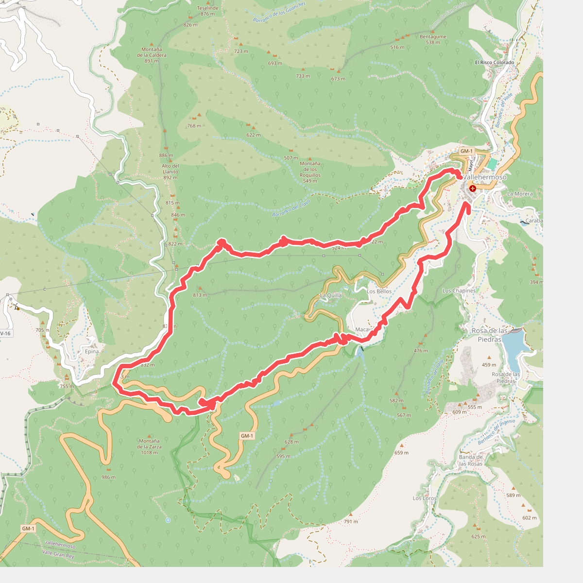
#2. Ruta 05
Vallehermoso
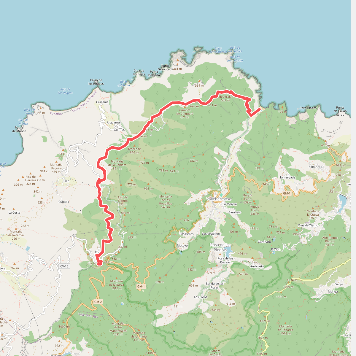
#3. Ruta 07
Vallehermoso
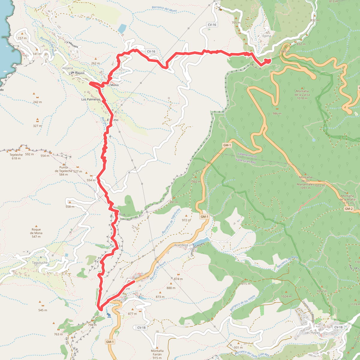
#4. Ruta 10
Vallehermoso,Valle Gran Rey
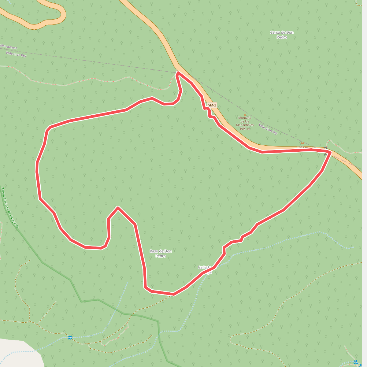
#5. Ruta 10: Cañada de Jorge
Vallehermoso,Valle Gran Rey
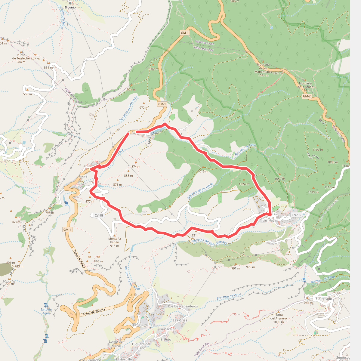
#6. Ruta 11
Valle Gran Rey
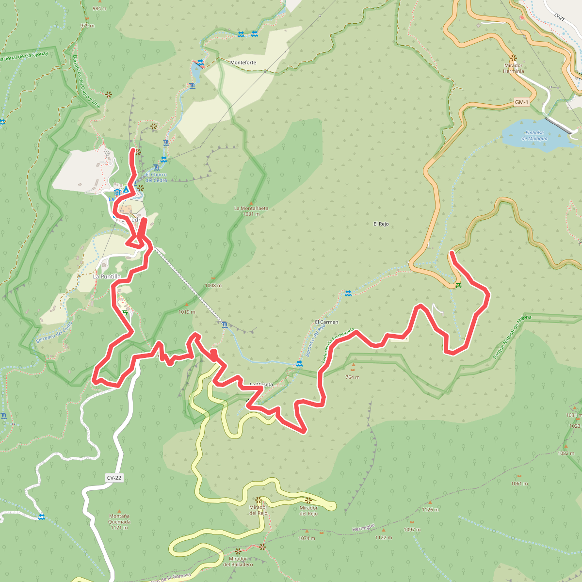
#7. Ruta 11: La Meseta de Hermigua - Chorro del Cedro
Hermigua
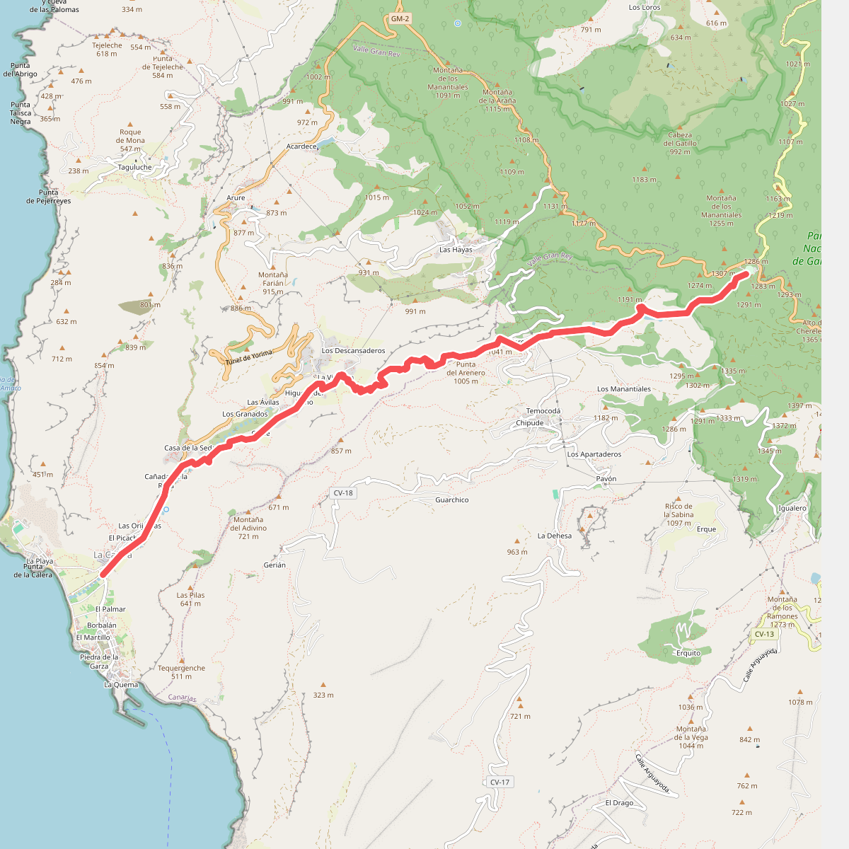
#8. Ruta 12
Valle Gran Rey,Vallehermoso
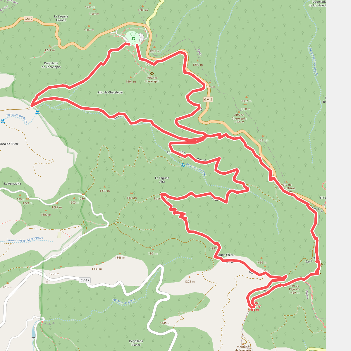
#9. Ruta 14: Laguna Grande - Alto de Garajonay
Vallehermoso,Alajeró,Hermigua
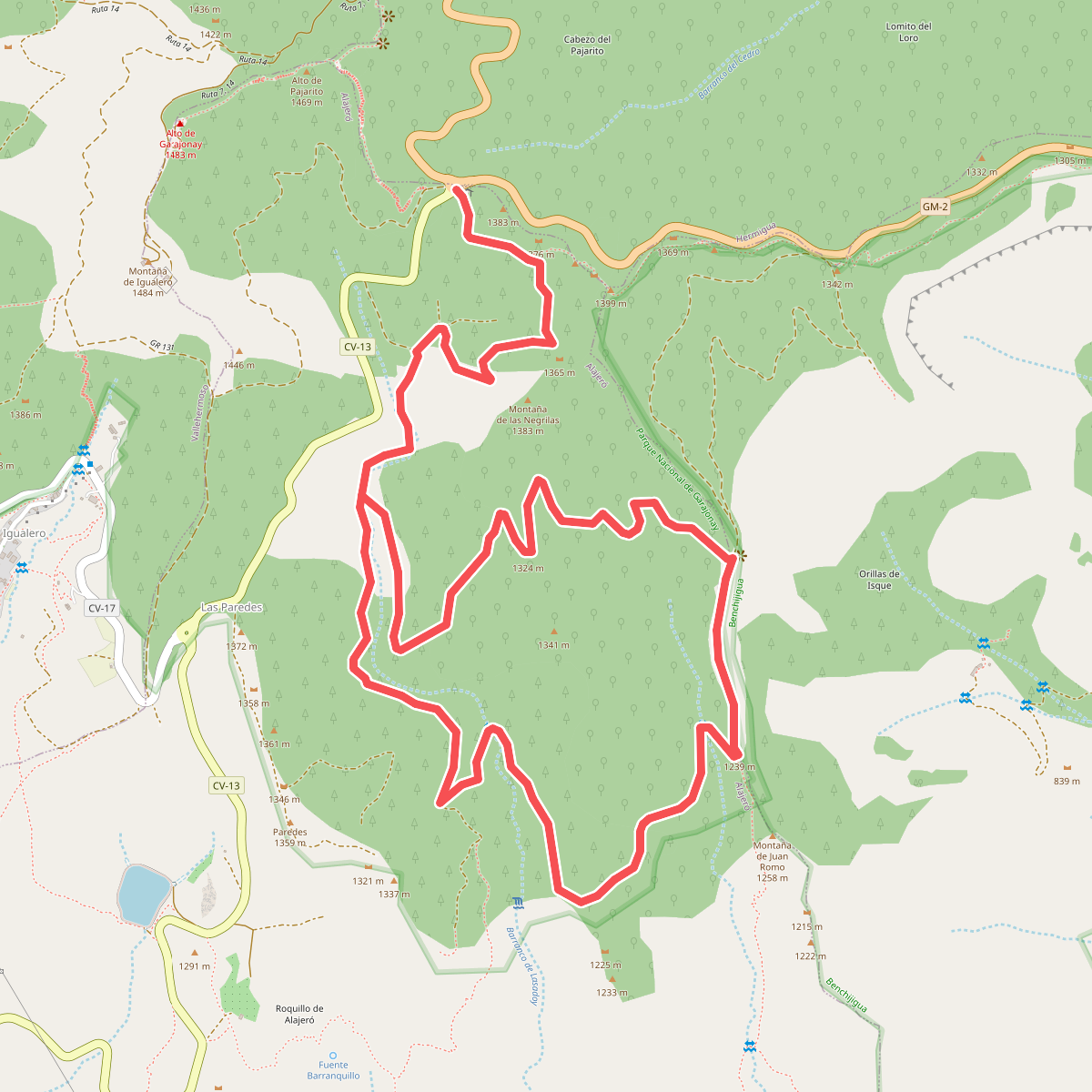
#10. Ruta 16: Pajarito - Lajugal
Alajeró,San Sebastián de la Gomera
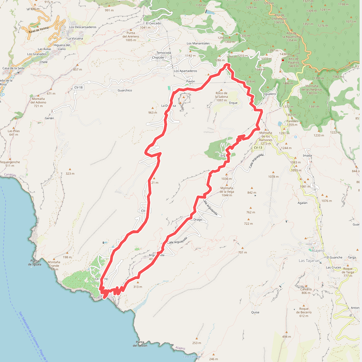
#11. Ruta 17
Alajeró,Vallehermoso
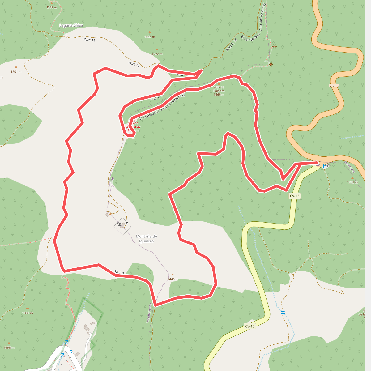
#12. Ruta 17: Pajarito - Alto de Garajonay - Pajarito
Alajeró,Vallehermoso,Hermigua



