The best hiking routes in Parque Nacional de Doñana
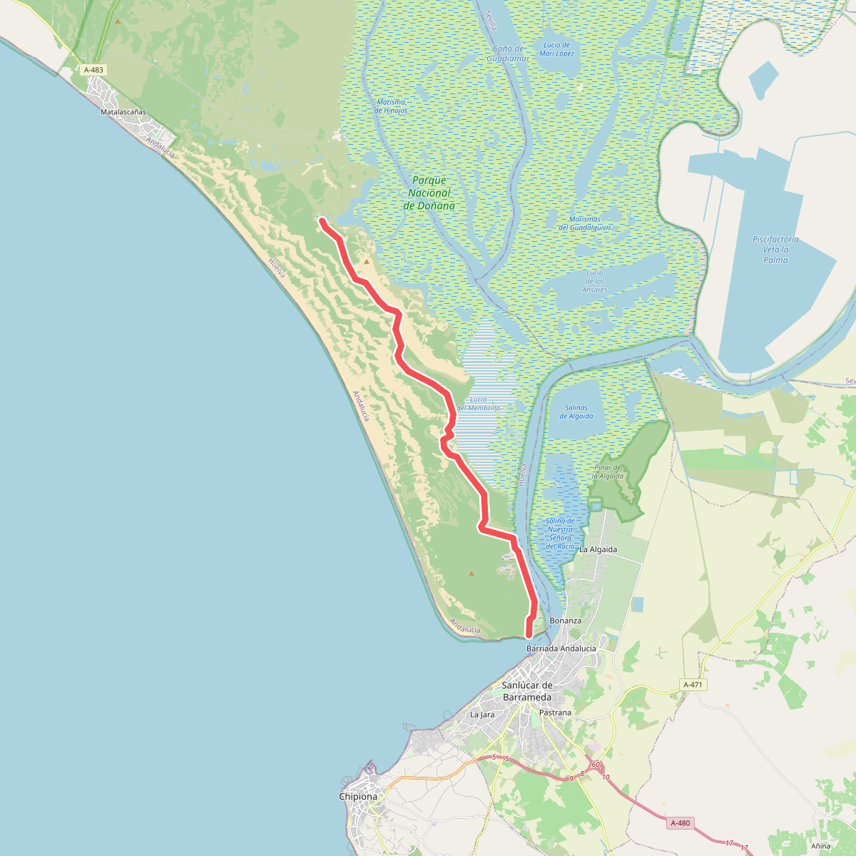
Discover the best walks in Parque Nacional de Doñana. 1 routes on the map, with descriptions, photos and GPX.
About Parque Nacional de Doñana
Parque Nacional de Doñana is a vast, flat coastal wetland in southwestern Spain defined by its seasonal water cycles and shifting sands. The landscape is divided into three distinct zones: the mobile sand dunes, the scrubby pine woodlands known as coto, and the extensive seasonal marshes, or marismas. Walkers will find a terrain entirely devoid of hills or rocky paths, where the challenge comes instead from navigating deep, loose sand or following wooden boardwalks over fragile soils.
Read more
About Parque Nacional de Doñana
Parque Nacional de Doñana is a vast, flat coastal wetland in southwestern Spain defined by its seasonal water cycles and shifting sands. The landscape is divided into three distinct zones: the mobile sand dunes, the scrubby pine woodlands known as coto, and the extensive seasonal marshes, or marismas. Walkers will find a terrain entirely devoid of hills or rocky paths, where the challenge comes instead from navigating deep, loose sand or following wooden boardwalks over fragile soils.
Read moreParque Nacional de Doñana is a vast, flat coastal wetland in southwestern Spain defined by its seasonal water cycles and shifting sands. The landscape is divided into three distinct zones: the mobile sand dunes, the scrubby pine woodlands known as coto, and the extensive seasonal marshes, or marismas. Walkers will find a terrain entirely devoid of hills or rocky paths, where the challenge comes instead from navigating deep, loose sand or following wooden boardwalks over fragile soils.
Walking inside the park requires careful selection of your starting point, as vast areas are strictly protected and inaccessible without guided vehicles. The public footpaths, such as those near the El Acebuche or La Rocina visitor centres, rely heavily on elevated wooden boardwalks that wind through dense Mediterranean scrub and riparian woodland. Outside of these boardwalks, the terrain consists of heavy, dry sand tracks that require significant physical effort to traverse, particularly where the paths cross the pine forests of the coto.
In autumn and winter, the marismas fill with water, transforming the dry clay beds into shallow lagoons that attract thousands of migrating waterfowl. By contrast, summer walks reveal a dry, cracked clay landscape under intense heat, with little shade outside the pine canopies. Choosing a route here means accepting a flat, horizontal perspective where the vegetation changes from low, aromatic shrubs to towering stone pines, rather than expecting dramatic viewpoints or varied topography.