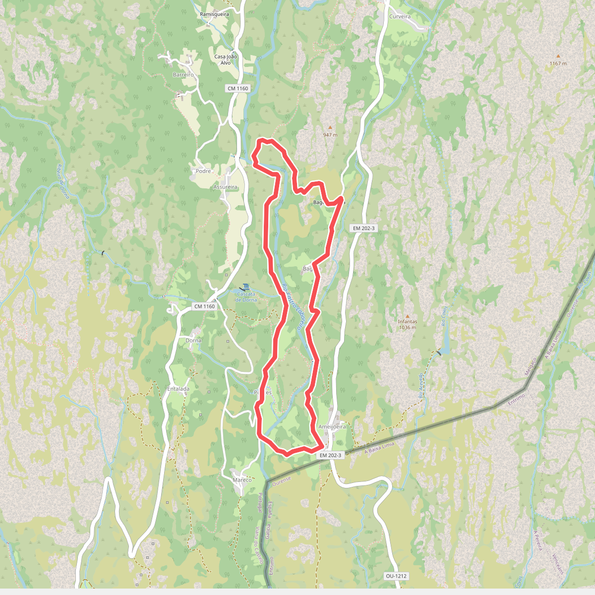
The best hiking routes in Parque Nacional da Peneda-Gerês
Discover the best walks in Parque Nacional da Peneda-Gerês. 53 routes on the map, with descriptions, photos and GPX.
Managed by ICNF
About Parque Nacional da Peneda-Gerês
Parque Nacional da Peneda-Gerês is a mountainous landscape of exposed granite domes, deep valleys, and ancient oak forests. Unlike the flatter coastal regions of Portugal, this park offers steep ascents and rugged terrain. Walkers will find a stark contrast between the wind-swept, rocky high plateaus and the sheltered, damp river canyons below. The ground underfoot varies from rough, stony shepherd paths and ancient Roman paved roads to soft, leaf-littered forest tracks.
Read more
About Parque Nacional da Peneda-Gerês
Parque Nacional da Peneda-Gerês is a mountainous landscape of exposed granite domes, deep valleys, and ancient oak forests. Unlike the flatter coastal regions of Portugal, this park offers steep ascents and rugged terrain. Walkers will find a stark contrast between the wind-swept, rocky high plateaus and the sheltered, damp river canyons below. The ground underfoot varies from rough, stony shepherd paths and ancient Roman paved roads to soft, leaf-littered forest tracks.
Read moreParque Nacional da Peneda-Gerês is a mountainous landscape of exposed granite domes, deep valleys, and ancient oak forests. Unlike the flatter coastal regions of Portugal, this park offers steep ascents and rugged terrain. Walkers will find a stark contrast between the wind-swept, rocky high plateaus and the sheltered, damp river canyons below. The ground underfoot varies from rough, stony shepherd paths and ancient Roman paved roads to soft, leaf-littered forest tracks.
The appearance of the landscape is shaped by centuries of traditional pastoralism. You will pass stone-built seasonal settlements, known as brandas and inverneiras, which shepherds used as they moved livestock between high and low pastures. Terraced hillsides still line the valleys, holding small plots of cultivated land. In May, the high-altitude shrublands turn yellow and purple with blooming gorse and heather, while the deep valleys remain shaded by mature oak and holly trees.
This is a demanding walking area where navigation can be difficult on the open plateaus, especially when low cloud reduces visibility. The trails are often uneven, requiring careful foot placement on loose granite stones. While the most famous spots near major waterfalls can attract crowds, the vast network of mountain paths remains quiet, offering a direct encounter with a working agricultural landscape rather than a manicured nature reserve.
Hiking routes in Parque Nacional da Peneda-Gerês (53)
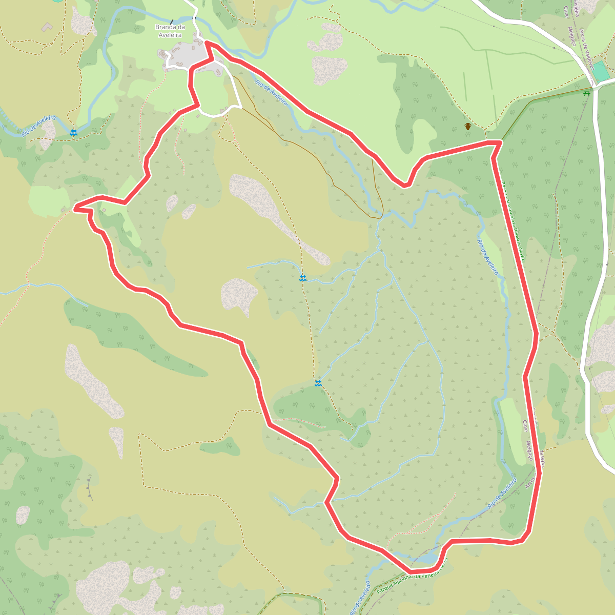
#1. Aveleira
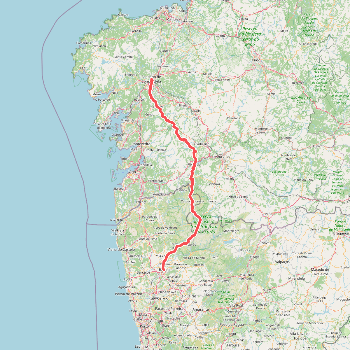
#2. Caminho da Geira e dos Arrieiros
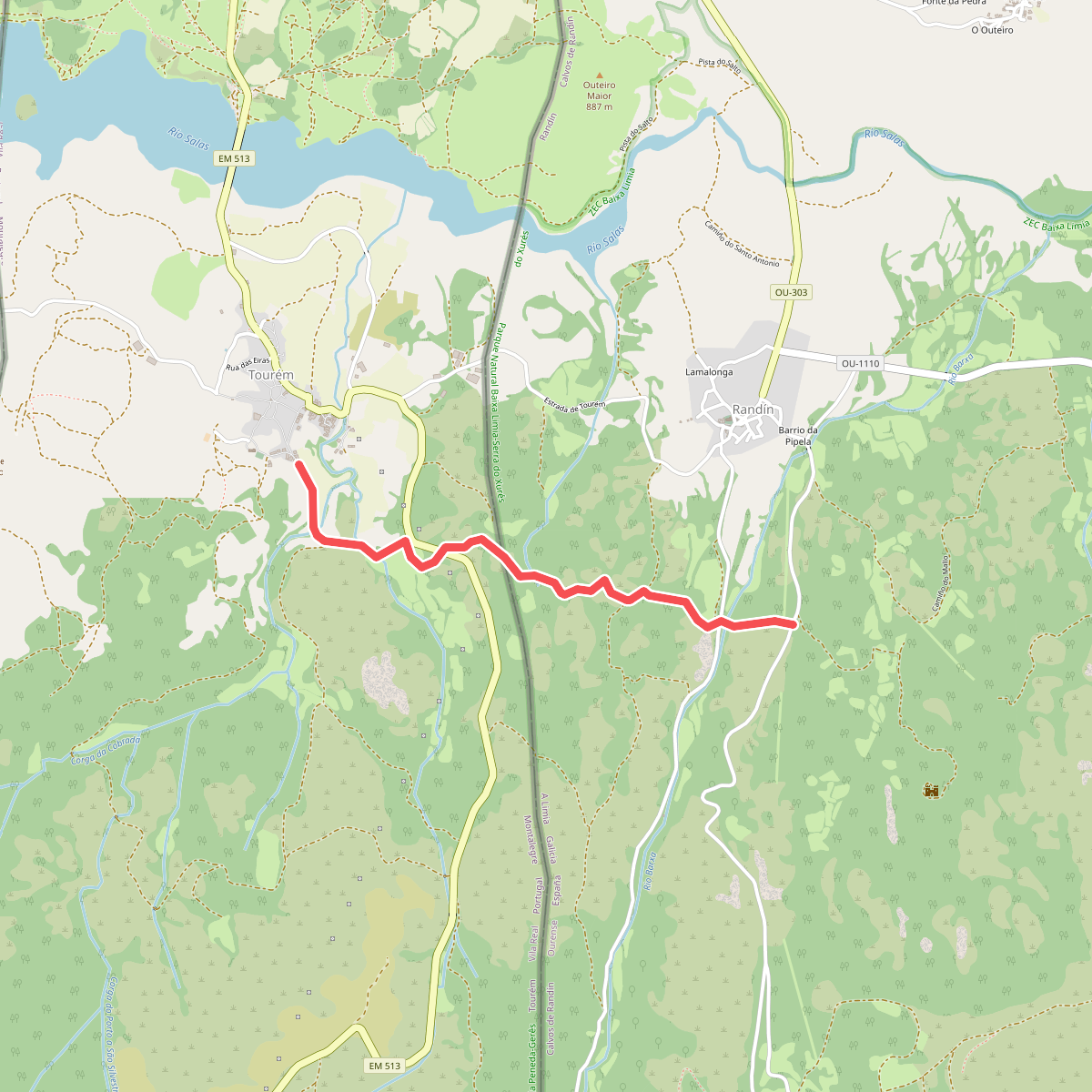
#3. Caminho privilegiado do Couto Misto
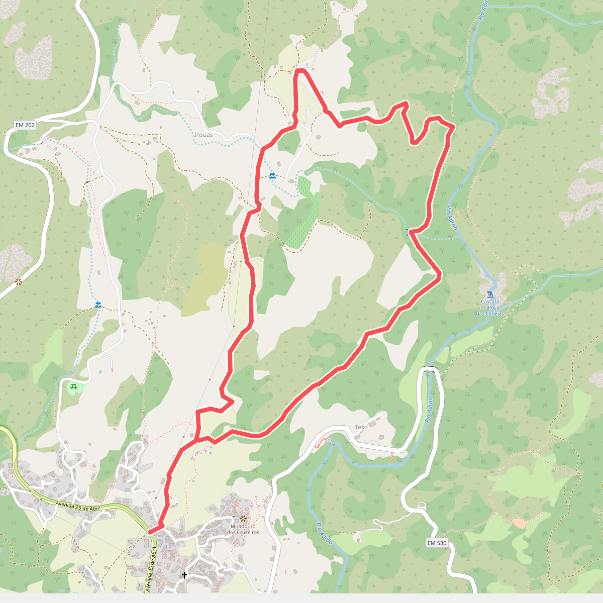
#4. Caminhos do Pão e Caminhos da Fé (Percurso Curto)
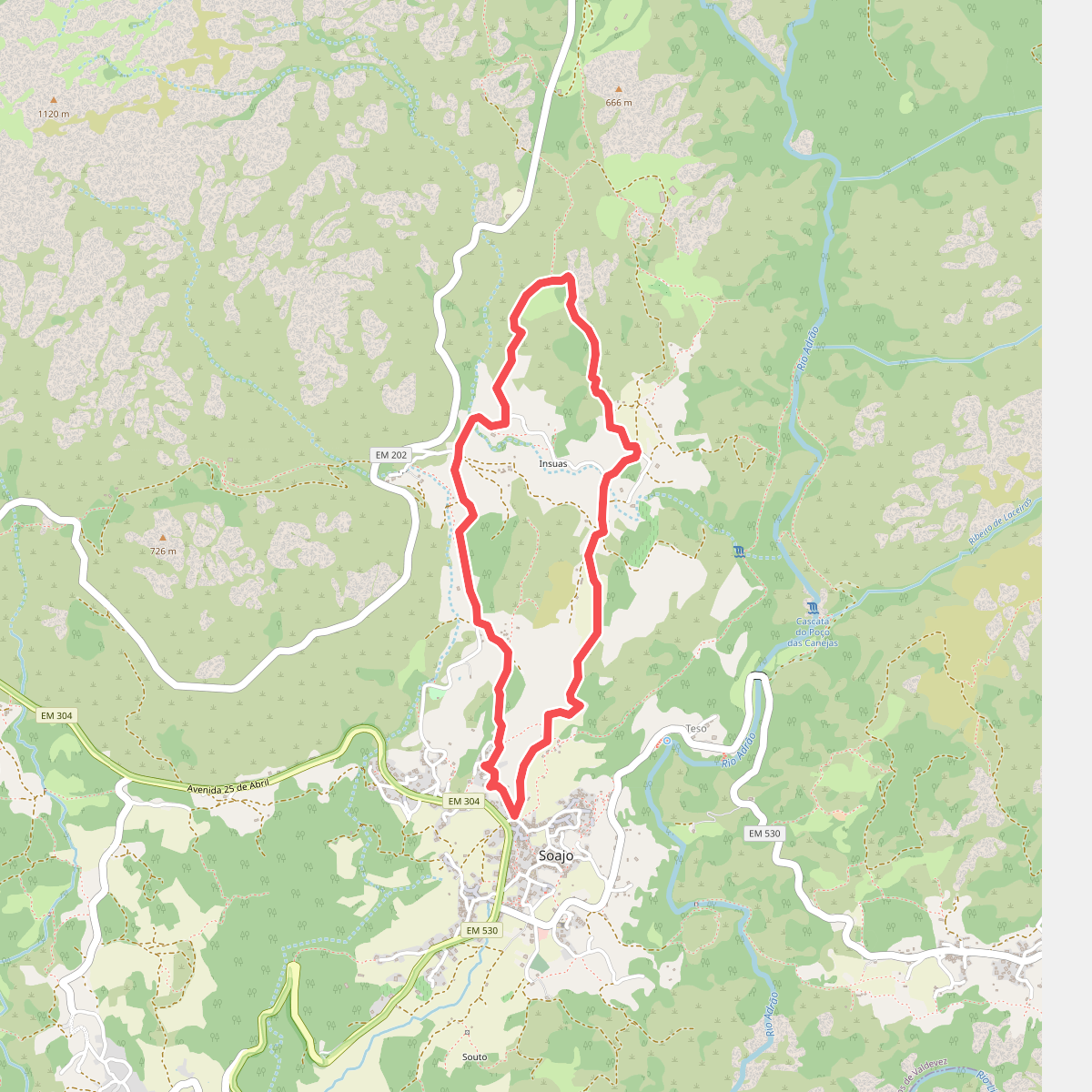
#5. Caminhos do Pão e Caminhos da Fé (Percurso Longo)
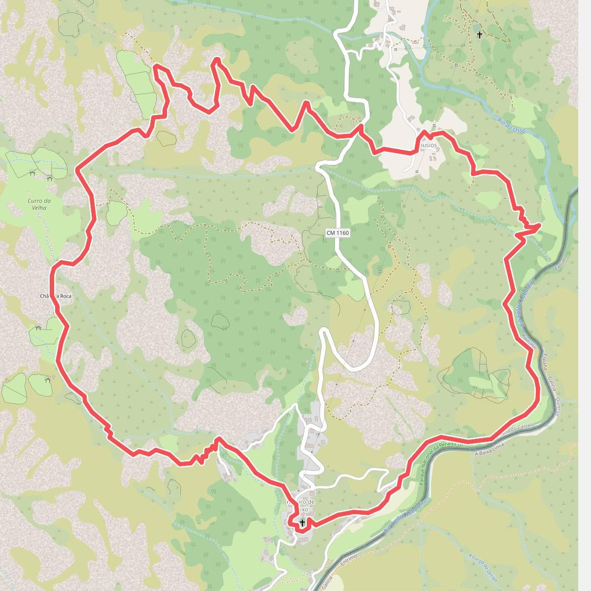
#6. Curro da Velha
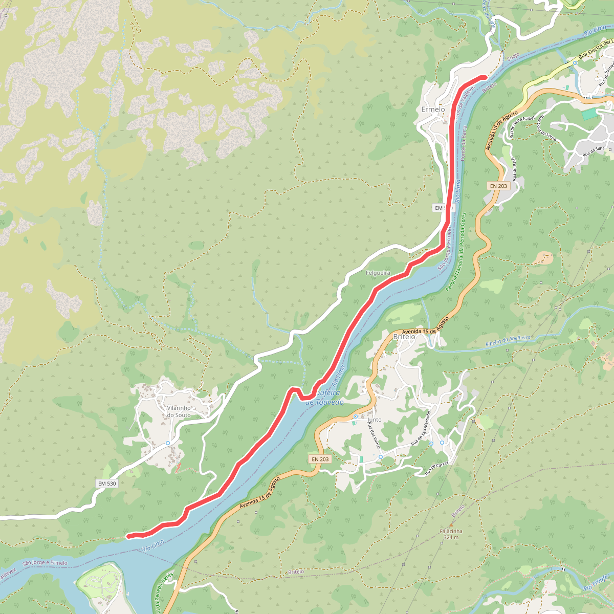
#7. Ecovia do Ermelo
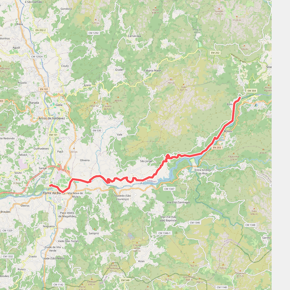
#8. Ecovia do Lima
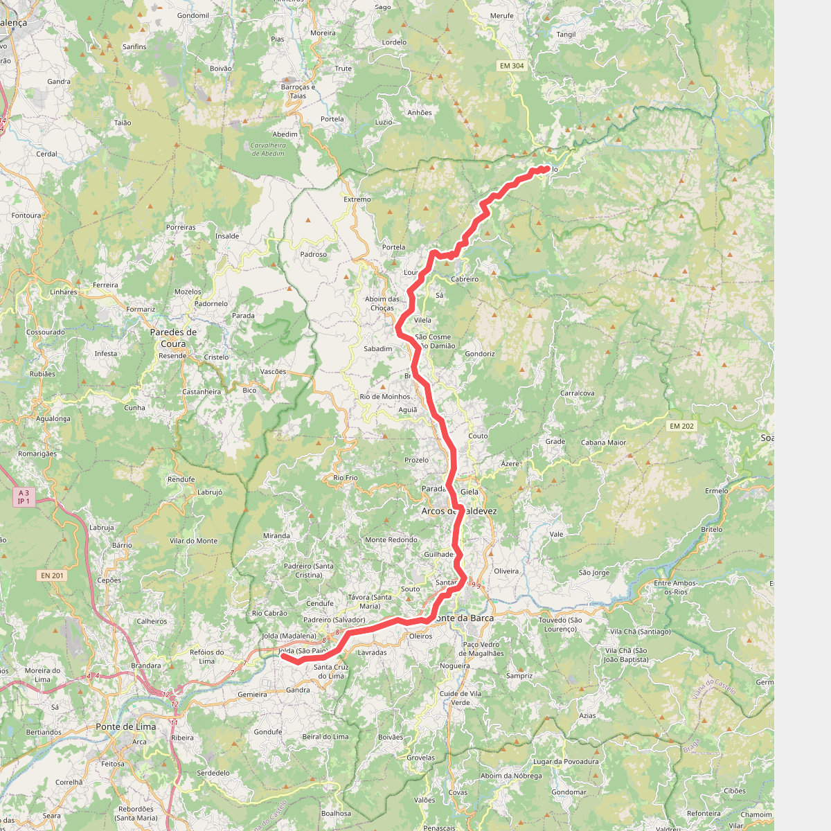
#9. Ecovia do Vez
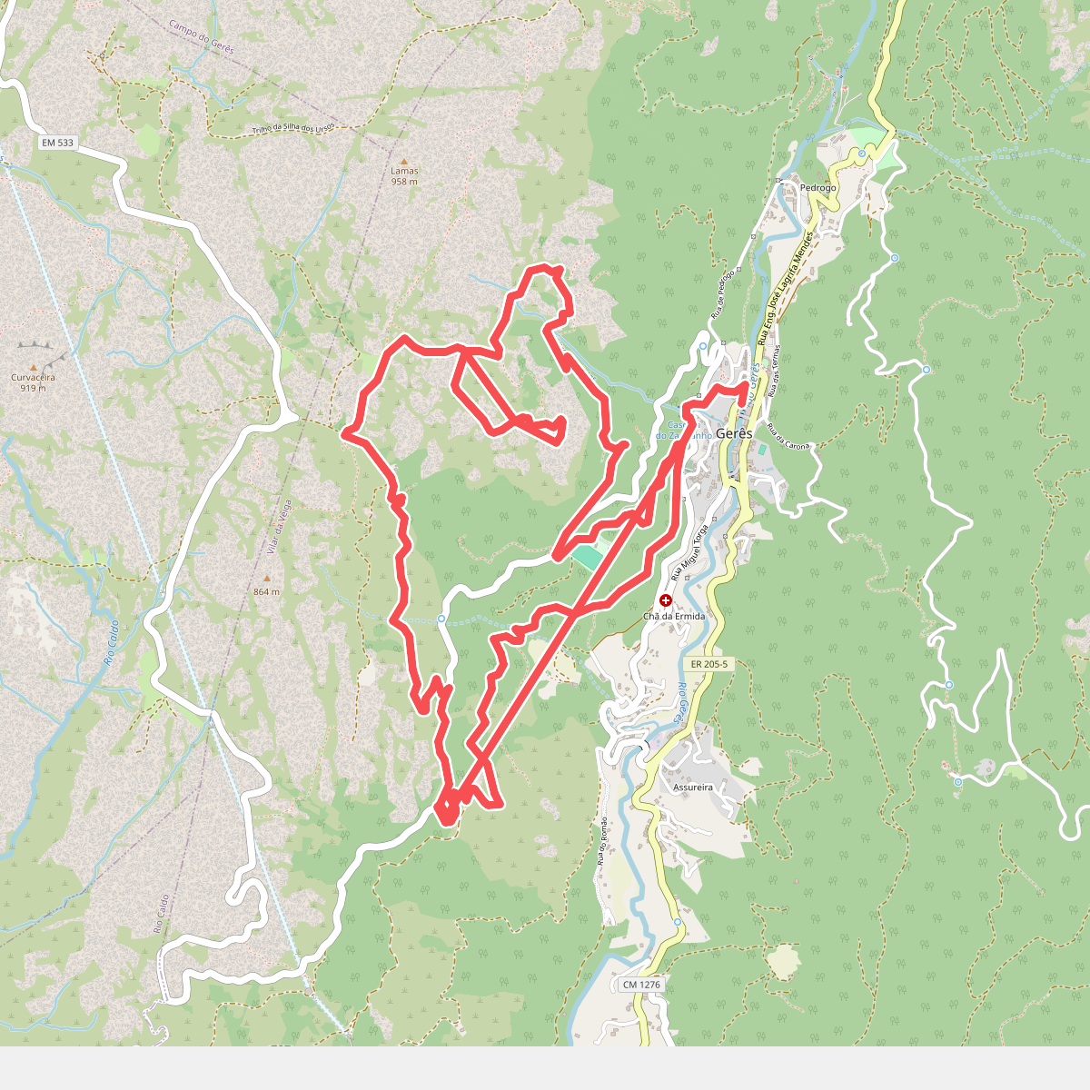
#10. Geres Panorama
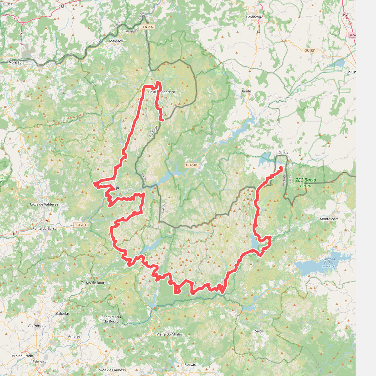
#11. Grande Rota Peneda-Gerês