The best hiking routes in Park Krajobrazowy Łuk Mużakowa
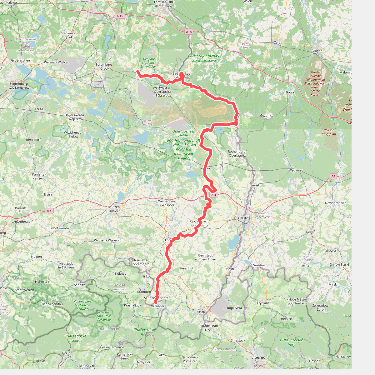
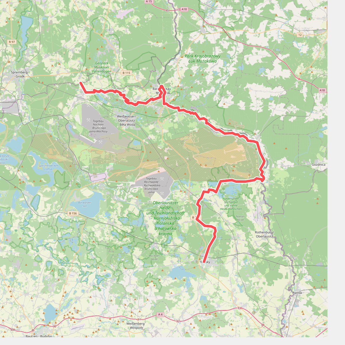
Discover the best walks in Park Krajobrazowy Łuk Mużakowa. 2 routes on the map, with descriptions, photos and GPX.
About Park Krajobrazowy Łuk Mużakowa
Park Krajobrazowy Łuk MuŰakowa is shaped by a massive glacial moraine that has been heavily altered by historical open-cast lignite mining. Walking here means navigating a landscape of steep-sided clay pits, collapsed ground, and artificial lakes. The most striking feature underfoot is the contrast between the dry, pine-forested sandy ridges and the highly acidic, mineral-rich waters of the former quarries. These lakes, often referred to as the anthropogenic lake district, display unusual hues of turquoise, deep red, and ochre due to iron and acid runoff, which you will spot directly from the lakeside paths.
Read more
About Park Krajobrazowy Łuk Mużakowa
Park Krajobrazowy Łuk MuŰakowa is shaped by a massive glacial moraine that has been heavily altered by historical open-cast lignite mining. Walking here means navigating a landscape of steep-sided clay pits, collapsed ground, and artificial lakes. The most striking feature underfoot is the contrast between the dry, pine-forested sandy ridges and the highly acidic, mineral-rich waters of the former quarries. These lakes, often referred to as the anthropogenic lake district, display unusual hues of turquoise, deep red, and ochre due to iron and acid runoff, which you will spot directly from the lakeside paths.
Read morePark Krajobrazowy Łuk MuŰakowa is shaped by a massive glacial moraine that has been heavily altered by historical open-cast lignite mining. Walking here means navigating a landscape of steep-sided clay pits, collapsed ground, and artificial lakes. The most striking feature underfoot is the contrast between the dry, pine-forested sandy ridges and the highly acidic, mineral-rich waters of the former quarries. These lakes, often referred to as the anthropogenic lake district, display unusual hues of turquoise, deep red, and ochre due to iron and acid runoff, which you will spot directly from the lakeside paths.
The terrain is gently rolling but marked by sharp, short descents into the old mining pits. Underfoot, the tracks alternate between loose, dry sand on the higher pine-covered terraces and damp, clay-heavy soil near the water margins. Some of the most popular sections feature wooden boardwalks and viewing platforms built over the unstable clay banks, while quieter sections rely on rougher, unpaved forestry tracks where tree roots break through the sandy surface.
This is not a pristine, untouched wilderness, but rather a recovering industrial landscape where nature is reclaiming the scarred earth. Visitors should expect a mix of dense birch and pine woods, stark post-mining wasteland, and colorful acidic ponds rather than wide-open natural lakes or deep river valleys. The area is generally quiet, though the designated geotrail sections around the most colorful pools tend to attract more foot traffic on weekends.