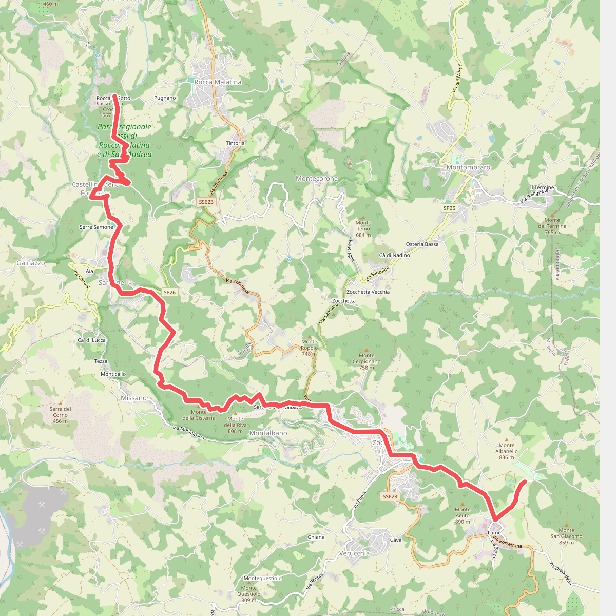
The best hiking routes in Parco regionale Sassi di Roccamalatina e di Sant’Andrea
Discover the best walks in Parco regionale Sassi di Roccamalatina e di Sant’Andrea. 11 routes on the map, with descriptions, photos and GPX.
Managed by Ente di gestione per i Parchi e la Biodiversità - Emilia centrale
About Parco regionale Sassi di Roccamalatina e di Sant’Andrea
The Parco regionale Sassi di Roccamalatina e di Sant’Andrea is defined by its dramatic sandstone spires that rise abruptly out of the rolling clay hills of the Modenese Apennine foothills. Walkers will find a landscape of sharp contrasts, where steep, bare rock faces tower over dense chestnut forests, oak woodlands, and small cultivated plots. The terrain underfoot transitions quickly from soft, muddy clay paths in the valleys to hard, stony tracks as you ascend toward the base of the cliffs.
Read more
About Parco regionale Sassi di Roccamalatina e di Sant’Andrea
The Parco regionale Sassi di Roccamalatina e di Sant’Andrea is defined by its dramatic sandstone spires that rise abruptly out of the rolling clay hills of the Modenese Apennine foothills. Walkers will find a landscape of sharp contrasts, where steep, bare rock faces tower over dense chestnut forests, oak woodlands, and small cultivated plots. The terrain underfoot transitions quickly from soft, muddy clay paths in the valleys to hard, stony tracks as you ascend toward the base of the cliffs.
Read moreThe Parco regionale Sassi di Roccamalatina e di Sant’Andrea is defined by its dramatic sandstone spires that rise abruptly out of the rolling clay hills of the Modenese Apennine foothills. Walkers will find a landscape of sharp contrasts, where steep, bare rock faces tower over dense chestnut forests, oak woodlands, and small cultivated plots. The terrain underfoot transitions quickly from soft, muddy clay paths in the valleys to hard, stony tracks as you ascend toward the base of the cliffs.
Unlike the flatter plains nearby, this reserve offers short, steep climbs and varied microclimates. The damp, shaded ravines support ferns and beech trees, while the dry, sun-exposed ledges of the sandstone cliffs host Mediterranean scrub. A network of marked trails connects these different zones, using dirt tracks, wooden steps, and occasional exposed ledges where handrails are provided for stability.
In May, the woodland undergrowth is particularly dense with wildflowers, while the open ridges offer clear views of the Panaro river valley. The area around the main towers can be busy on weekends, but the quieter paths leading through the abandoned chestnut orchards of the outer zones offer a more solitary walking experience.
Hiking routes in Parco regionale Sassi di Roccamalatina e di Sant’Andrea (11)
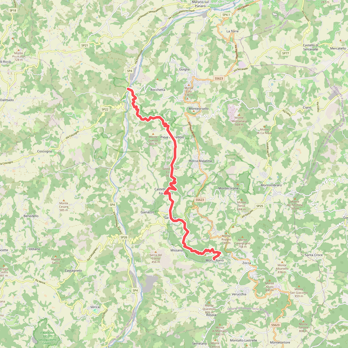
#1. CAI 400/2
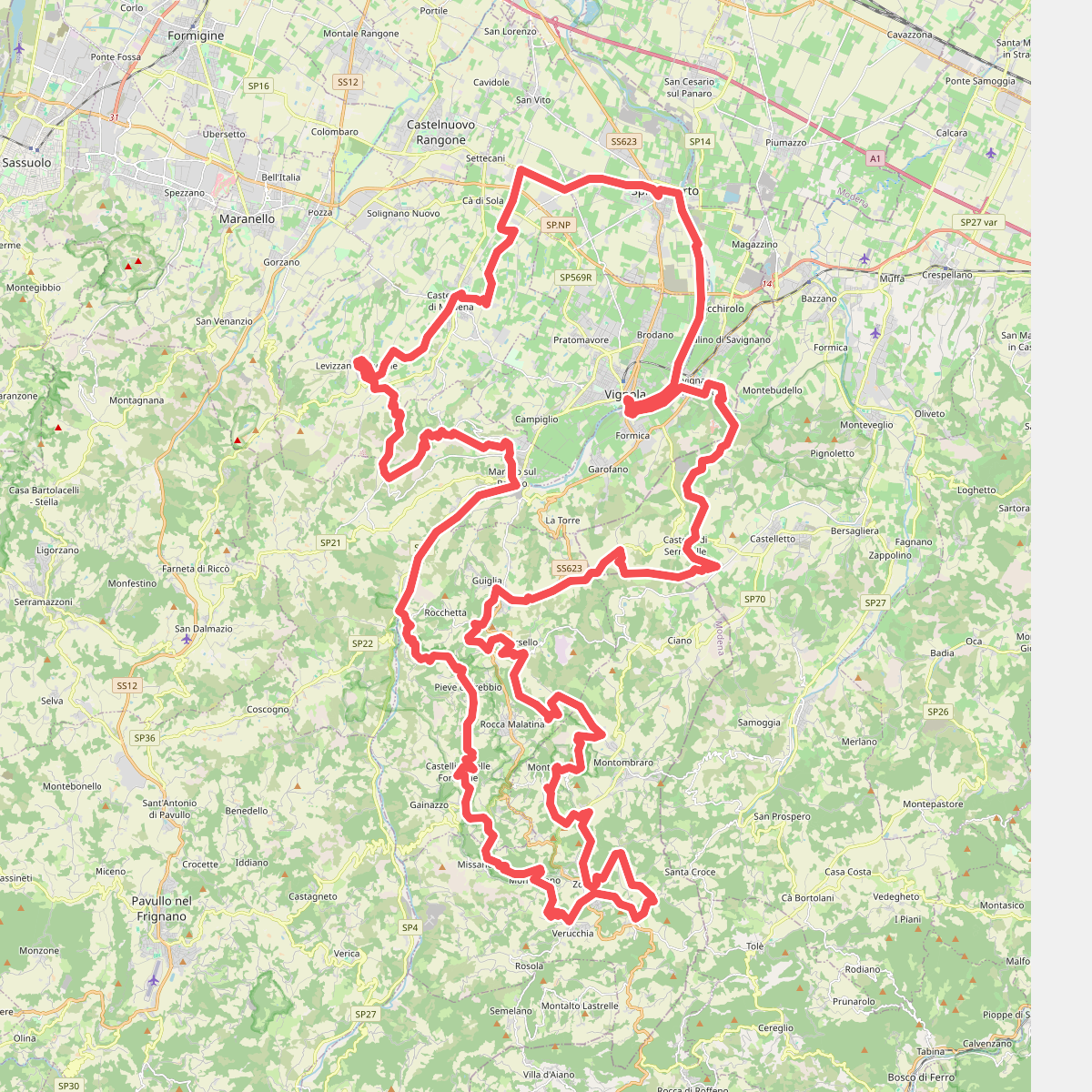
#2. Cammino dell'Unione
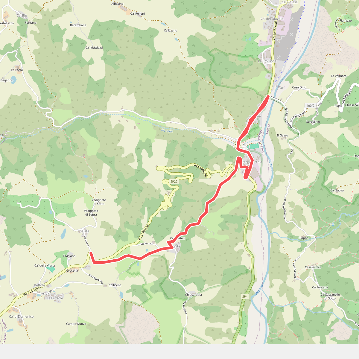
#3. Collegamento Via Romea Nonantolana (Casona - Festà)
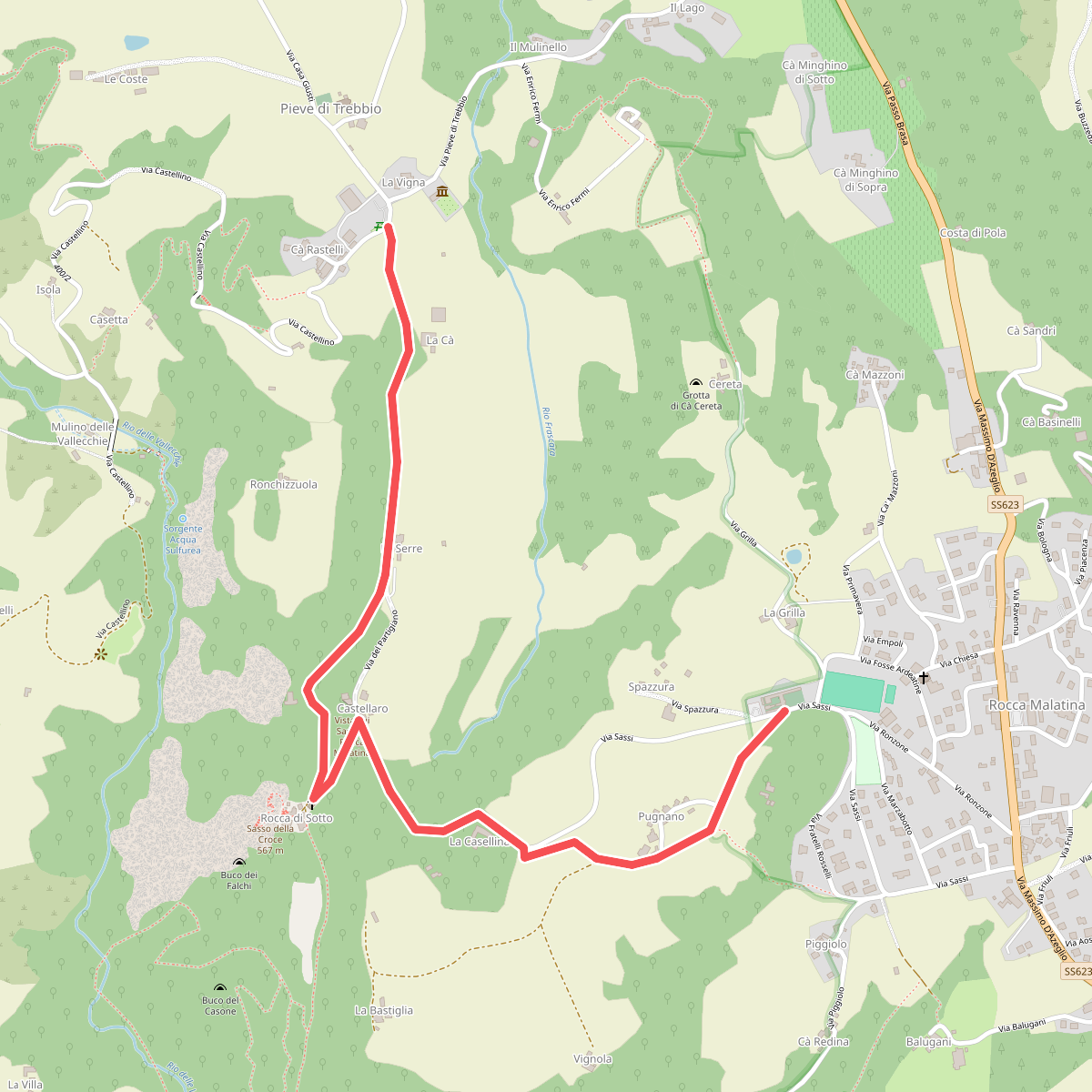
#4. GEO - Itinerario Geologico
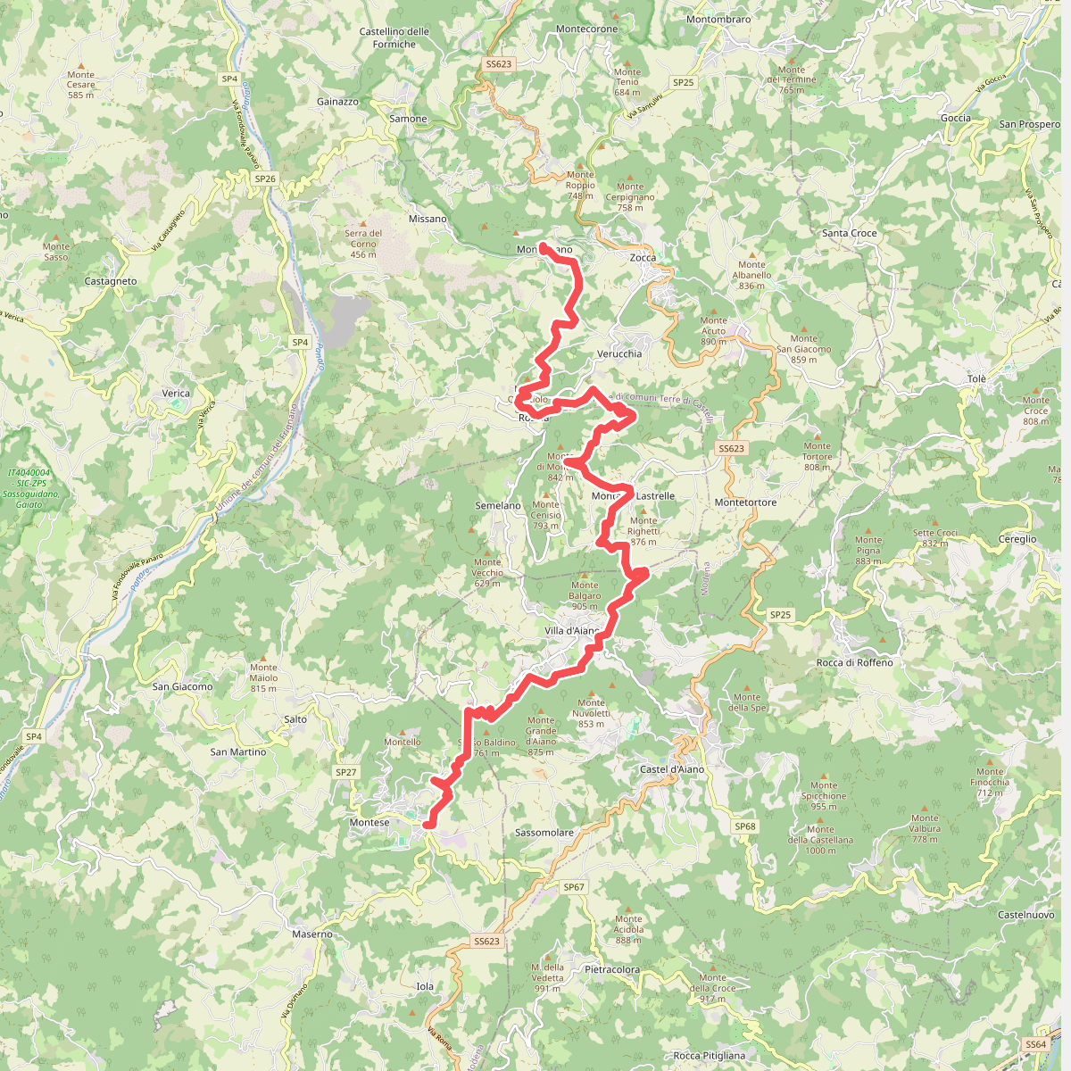
#5. Percorso CAI 400/3
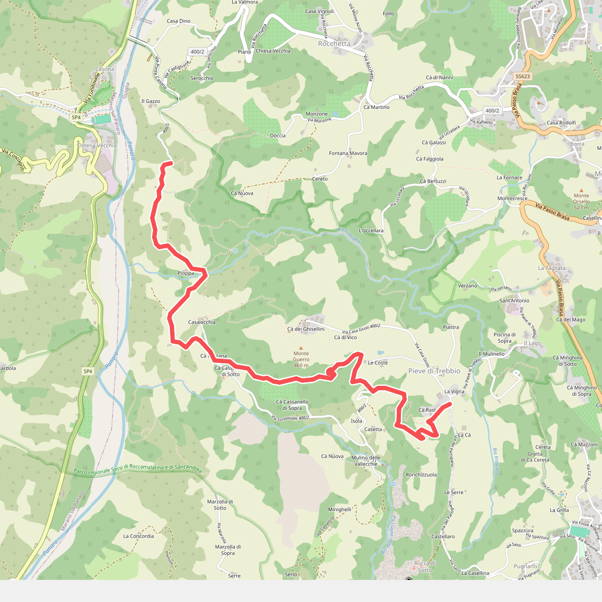
#6. SAS1A
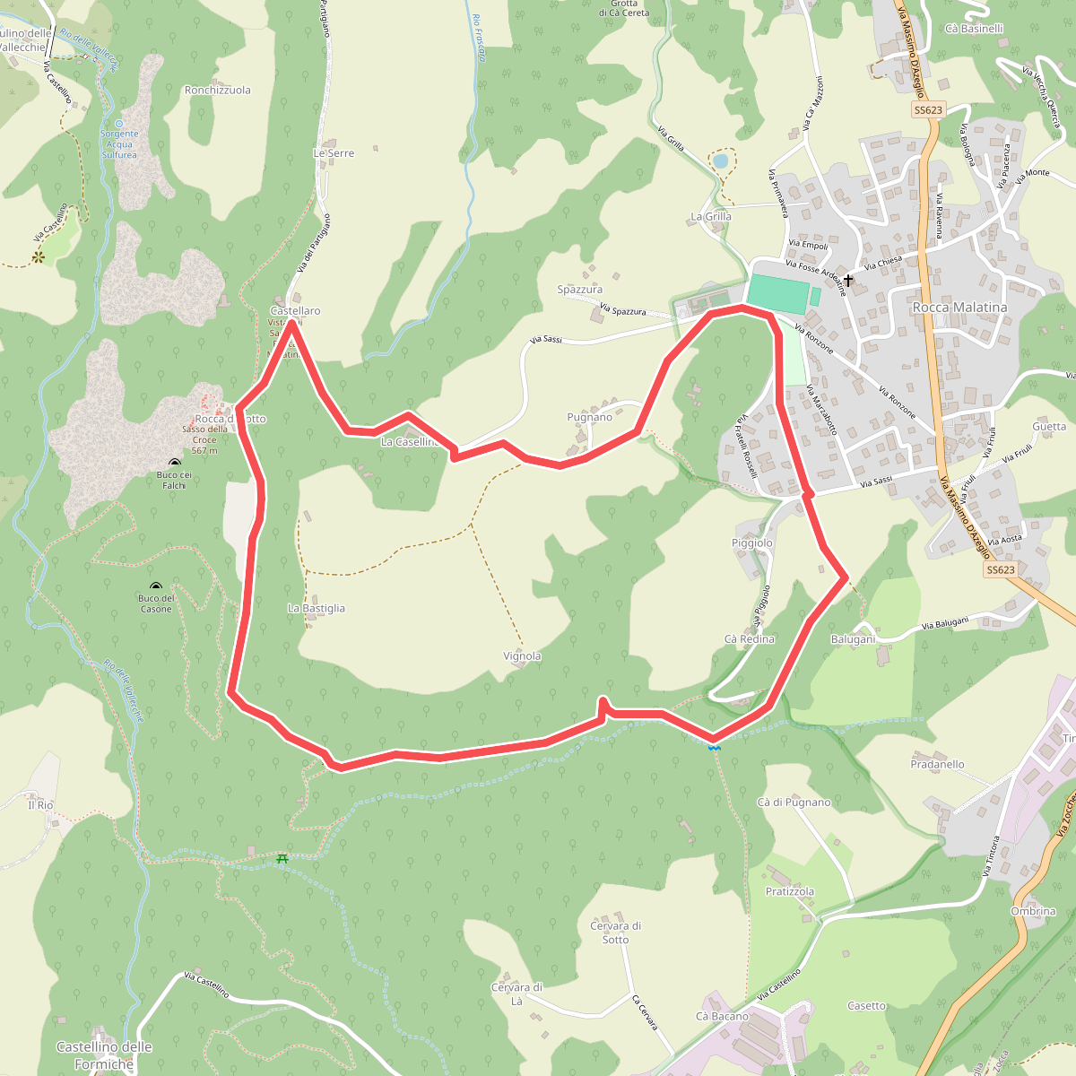
#7. SAS2
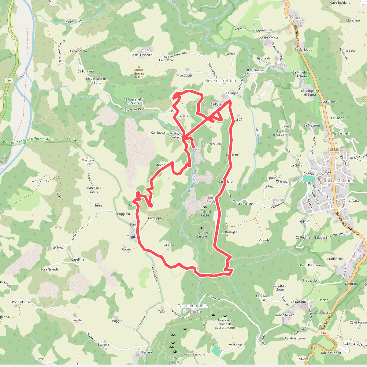
#8. SAS3
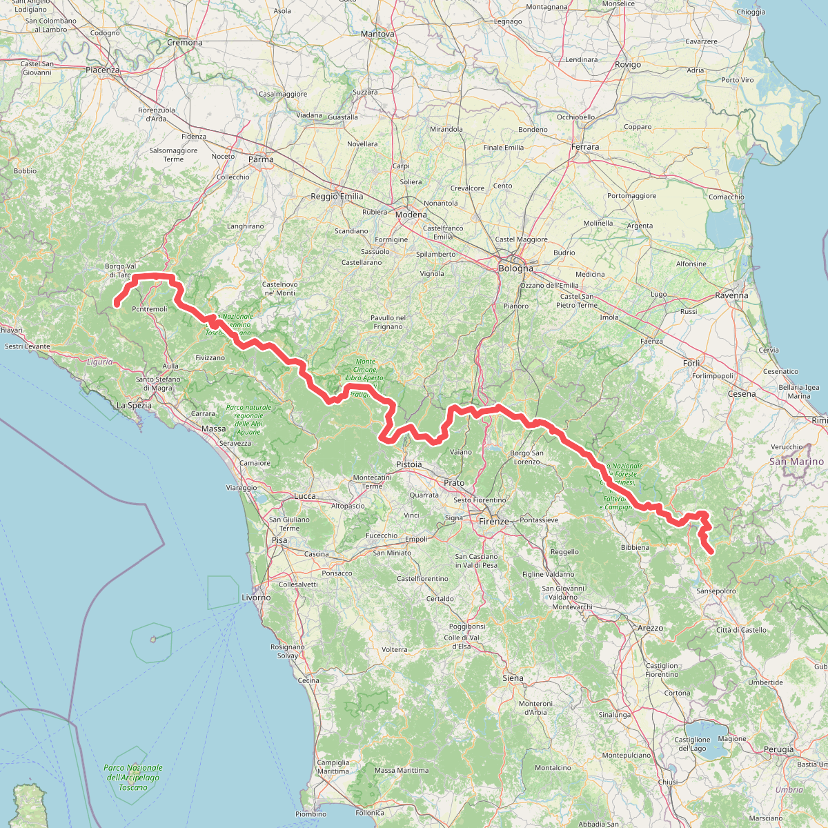
#9. Sentiero di spartiacque appenninico
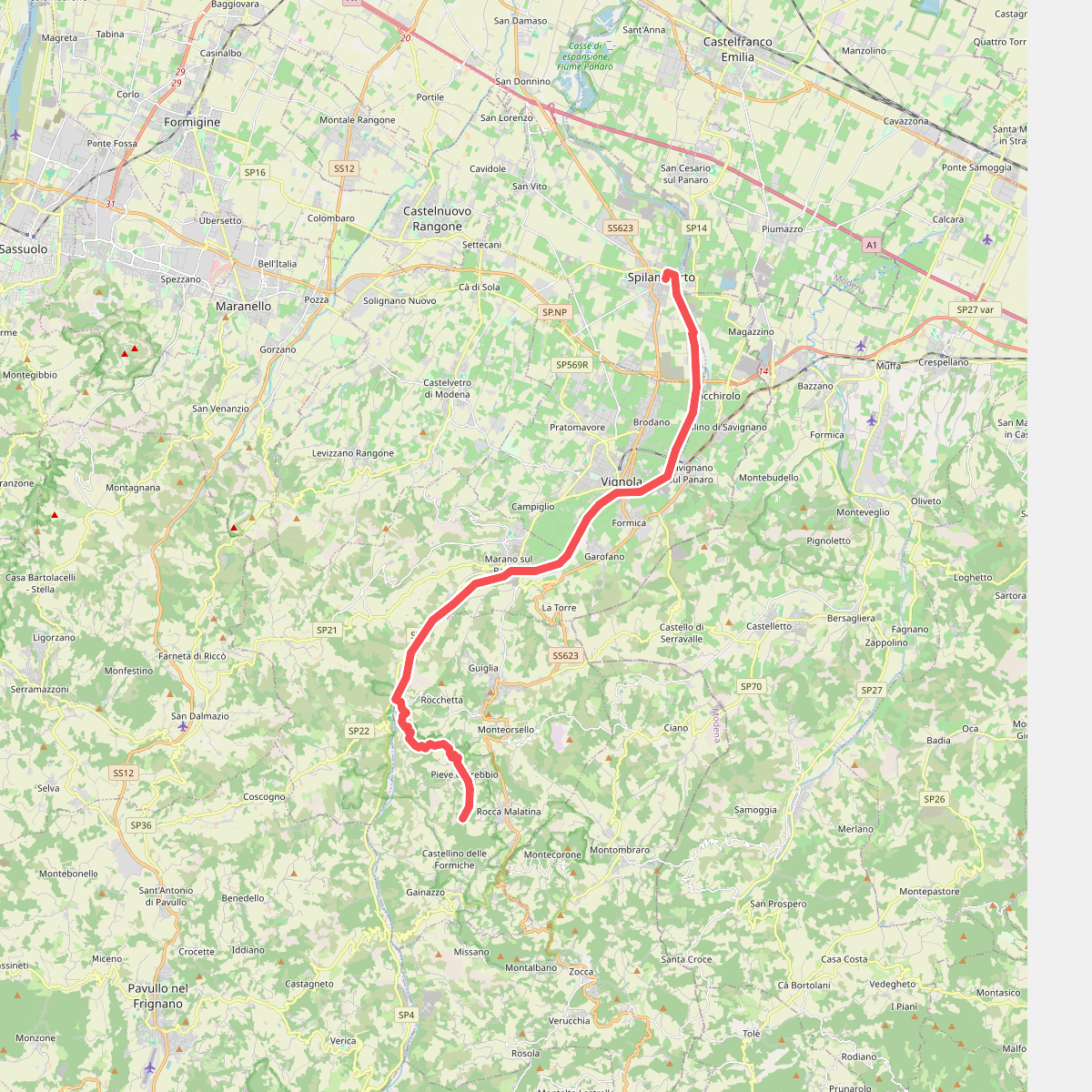
#10. Via Romea Nonantolana e Via della Sambuca: Tappa 2