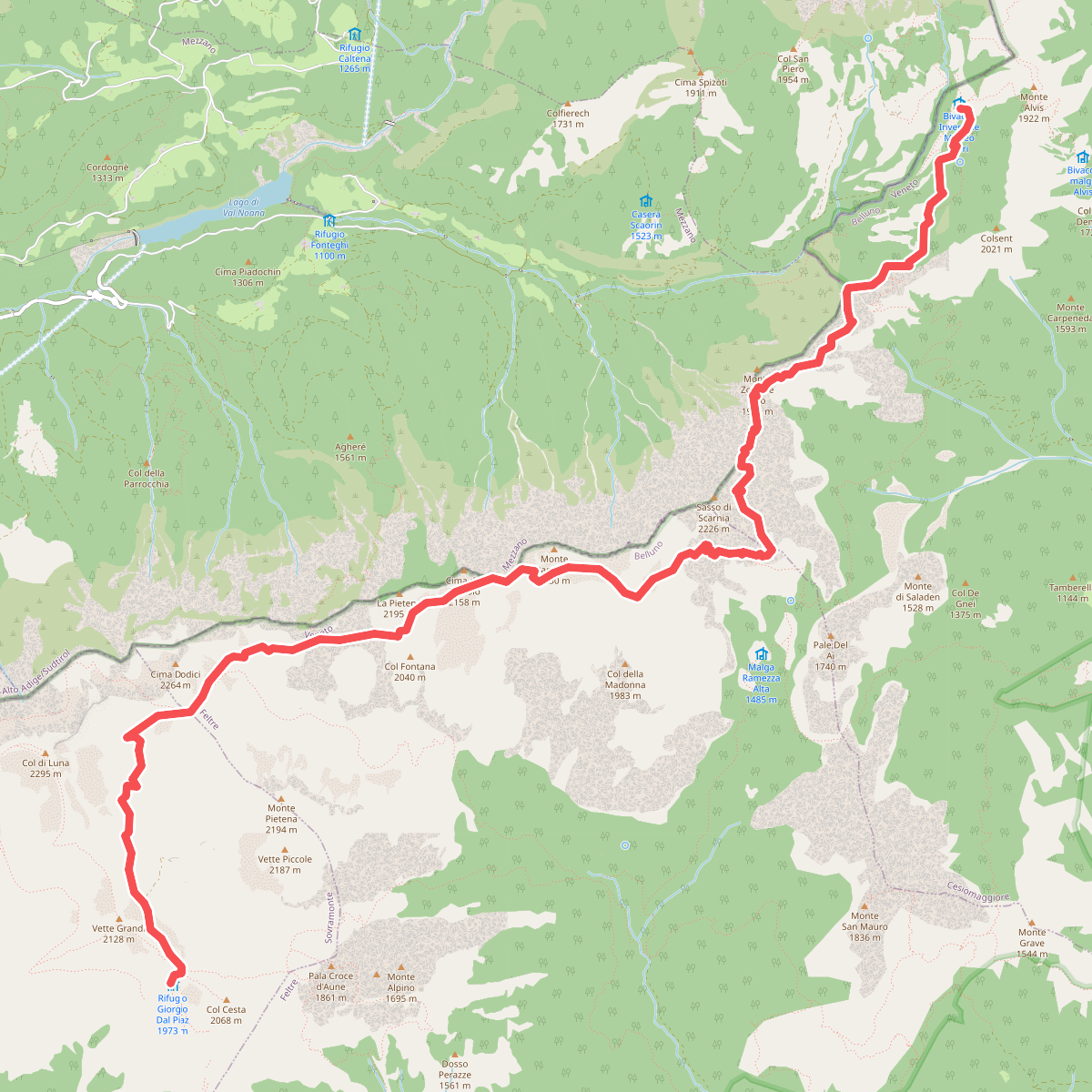
The best hiking routes in Parco Nazionale Dolomiti Bellunesi
Discover the best walks in Parco Nazionale Dolomiti Bellunesi. 31 routes on the map, with descriptions, photos and GPX.
About Parco Nazionale Dolomiti Bellunesi
Parco Nazionale Dolomiti Bellunesi occupies the quieter, southern edge of the Venetian Alps, where the high limestone plateaus drop down toward the Venetian plain. Unlike the jagged, pale towers found further north, this park is defined by deep, heavily forested valleys, steep grassy slopes known as lach, and wild, water-carved gorges. It is a landscape of transition, where the damp air from the Adriatic Sea meets the limestone walls, creating a dense cover of beech and silver fir that clings to the lower slopes before giving way to alpine meadows.
Read more
About Parco Nazionale Dolomiti Bellunesi
Parco Nazionale Dolomiti Bellunesi occupies the quieter, southern edge of the Venetian Alps, where the high limestone plateaus drop down toward the Venetian plain. Unlike the jagged, pale towers found further north, this park is defined by deep, heavily forested valleys, steep grassy slopes known as lach, and wild, water-carved gorges. It is a landscape of transition, where the damp air from the Adriatic Sea meets the limestone walls, creating a dense cover of beech and silver fir that clings to the lower slopes before giving way to alpine meadows.
Read moreParco Nazionale Dolomiti Bellunesi occupies the quieter, southern edge of the Venetian Alps, where the high limestone plateaus drop down toward the Venetian plain. Unlike the jagged, pale towers found further north, this park is defined by deep, heavily forested valleys, steep grassy slopes known as lach, and wild, water-carved gorges. It is a landscape of transition, where the damp air from the Adriatic Sea meets the limestone walls, creating a dense cover of beech and silver fir that clings to the lower slopes before giving way to alpine meadows.
Underfoot, walkers will find a mix of rough mule tracks, steep gravel paths, and narrow earthen trails that can be slippery after rainfall. The terrain is demanding, often requiring significant elevation gain on relentless, zig-zagging paths through the woods before you reach the open karst plateaus like the Piani eterni. These high-altitude karst basins are characterized by sinkholes, limestone pavements, and dry, rocky pastures where water disappears instantly underground.
This southern section of the mountains lacks the extensive road networks and cable cars found in other parts of the region, meaning access to the high ridges requires sustained physical effort. While the lower valleys are easily accessible, the higher trails are rugged, remote, and often require navigating loose scree. In June, the meadows of the Vette di Feltre are filled with alpine wildflowers, making this the best time to observe the botanical diversity that first brought researchers to these steep slopes.
Hiking routes in Parco Nazionale Dolomiti Bellunesi (31)
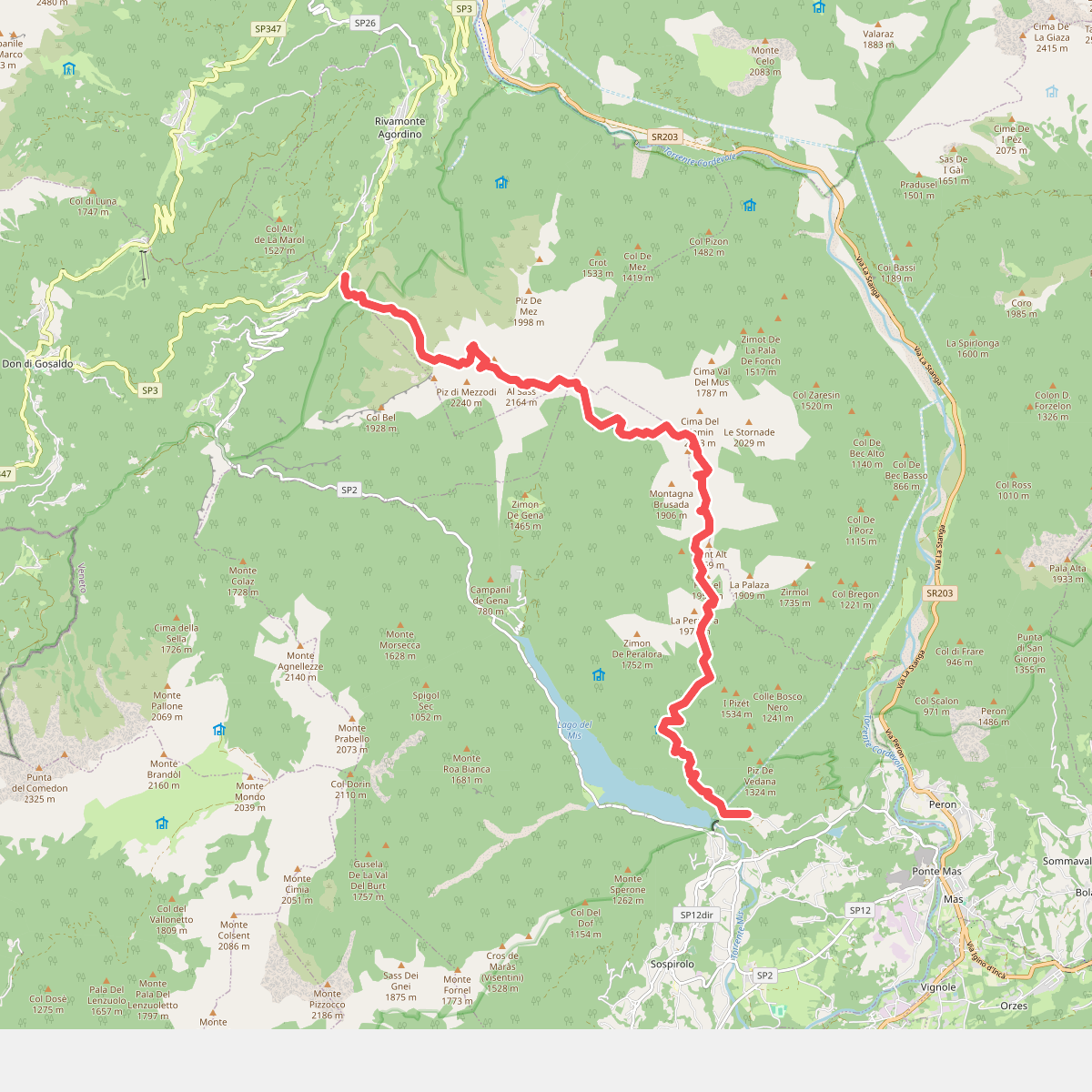
#1. Alta Via dei Monti del Sole
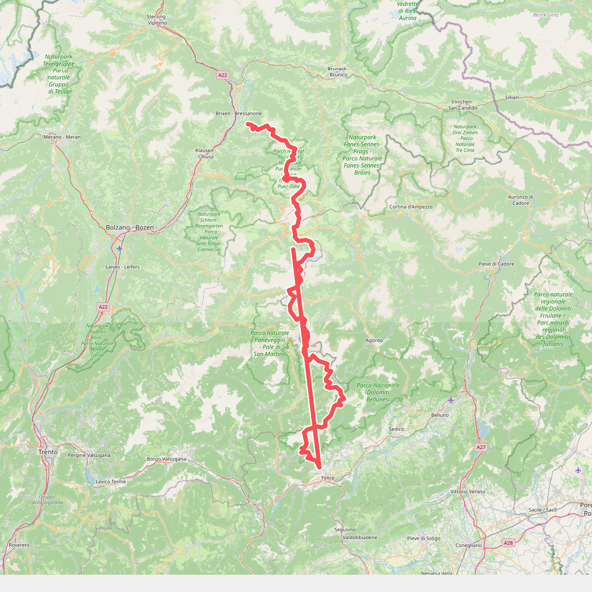
#2. Alta Via n. 2 delle Dolomiti - Dolomiten-Höhenweg Nr. 2
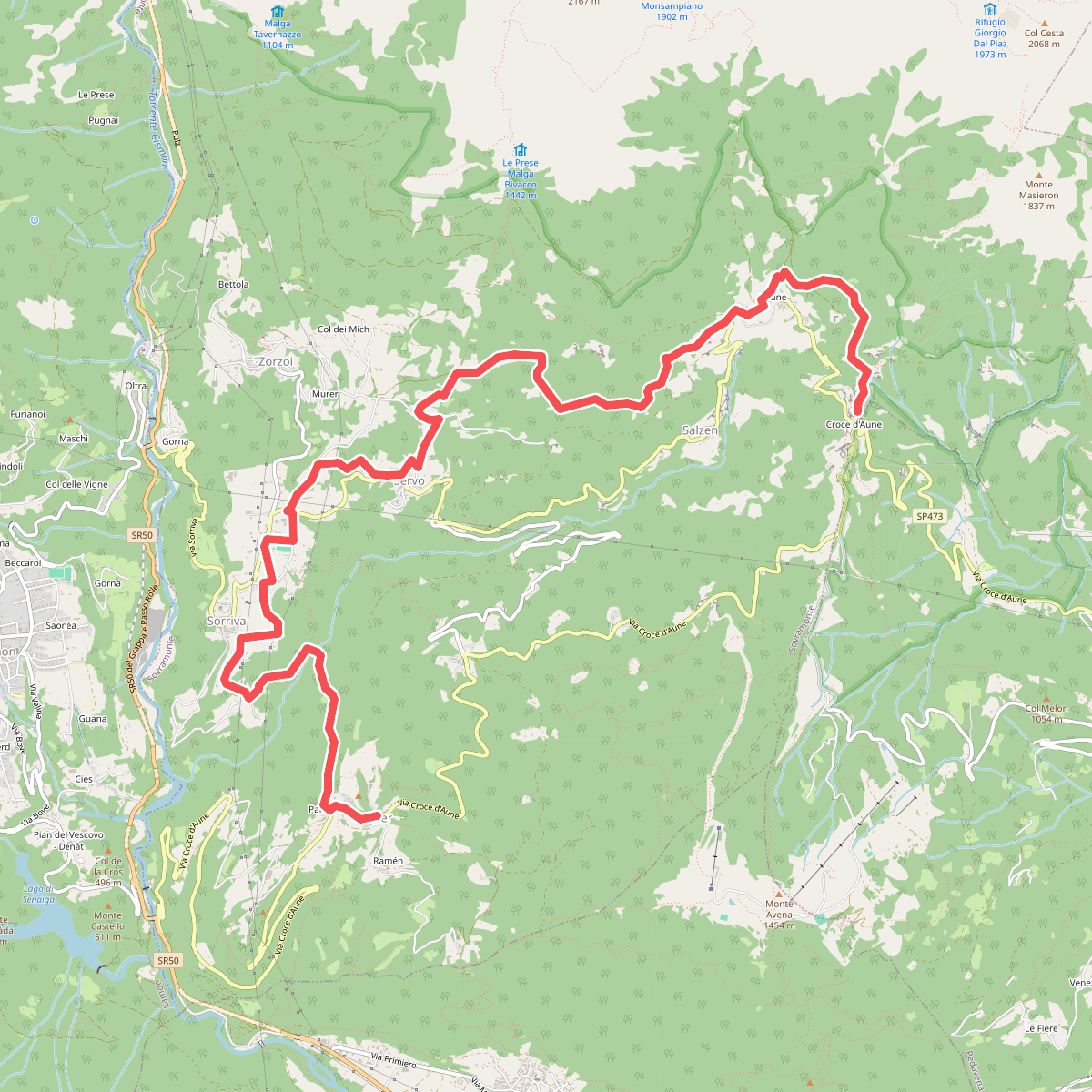
#3. Cammino delle Dolomiti - Tappa 03
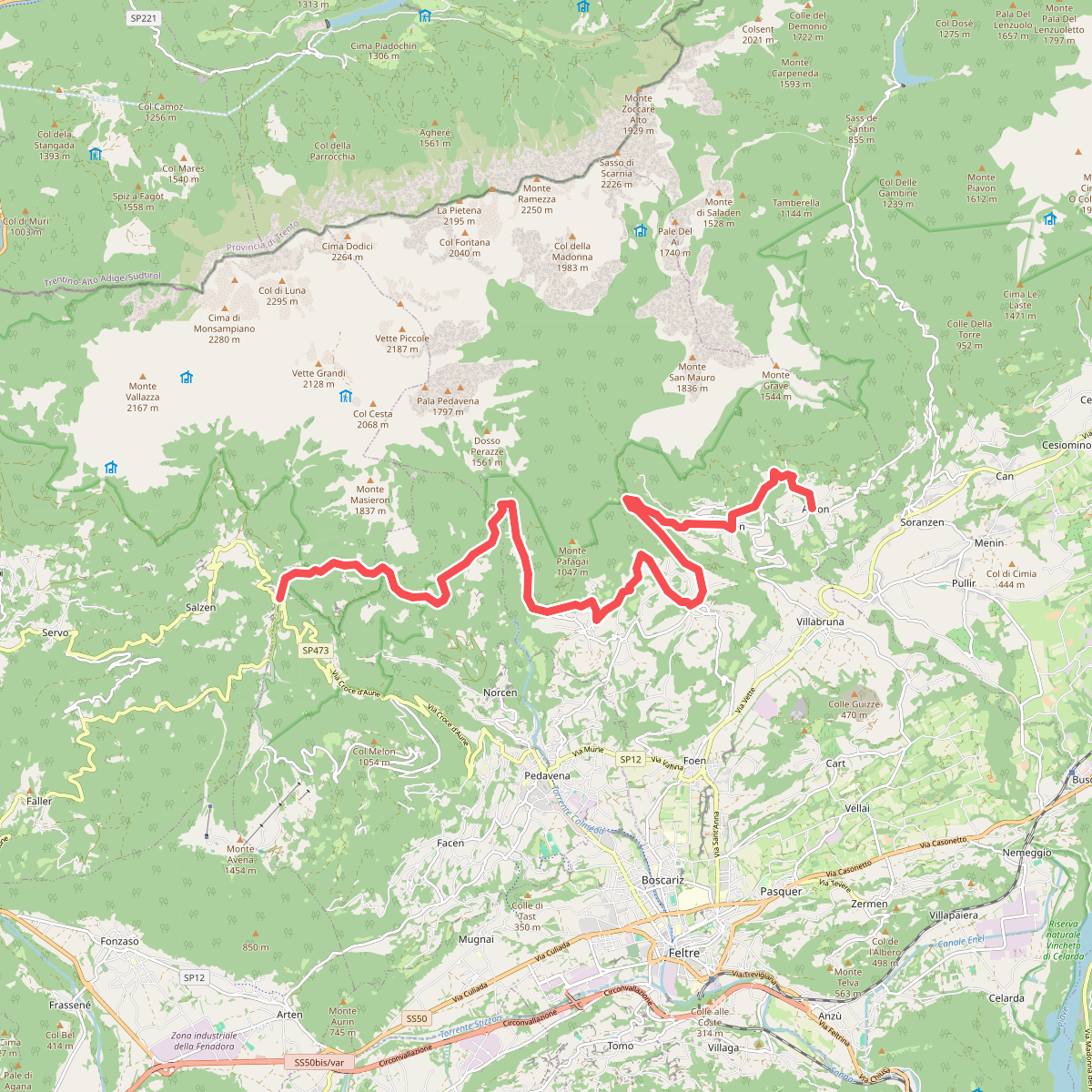
#4. Cammino delle Dolomiti - Tappa 04
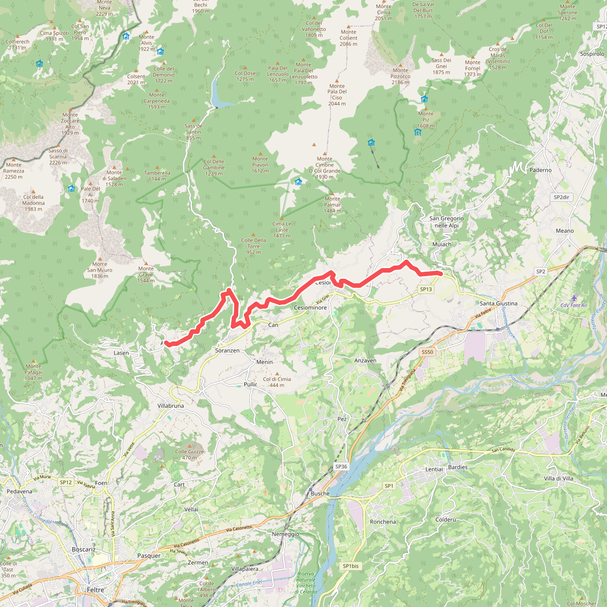
#5. Cammino delle Dolomiti - Tappa 05
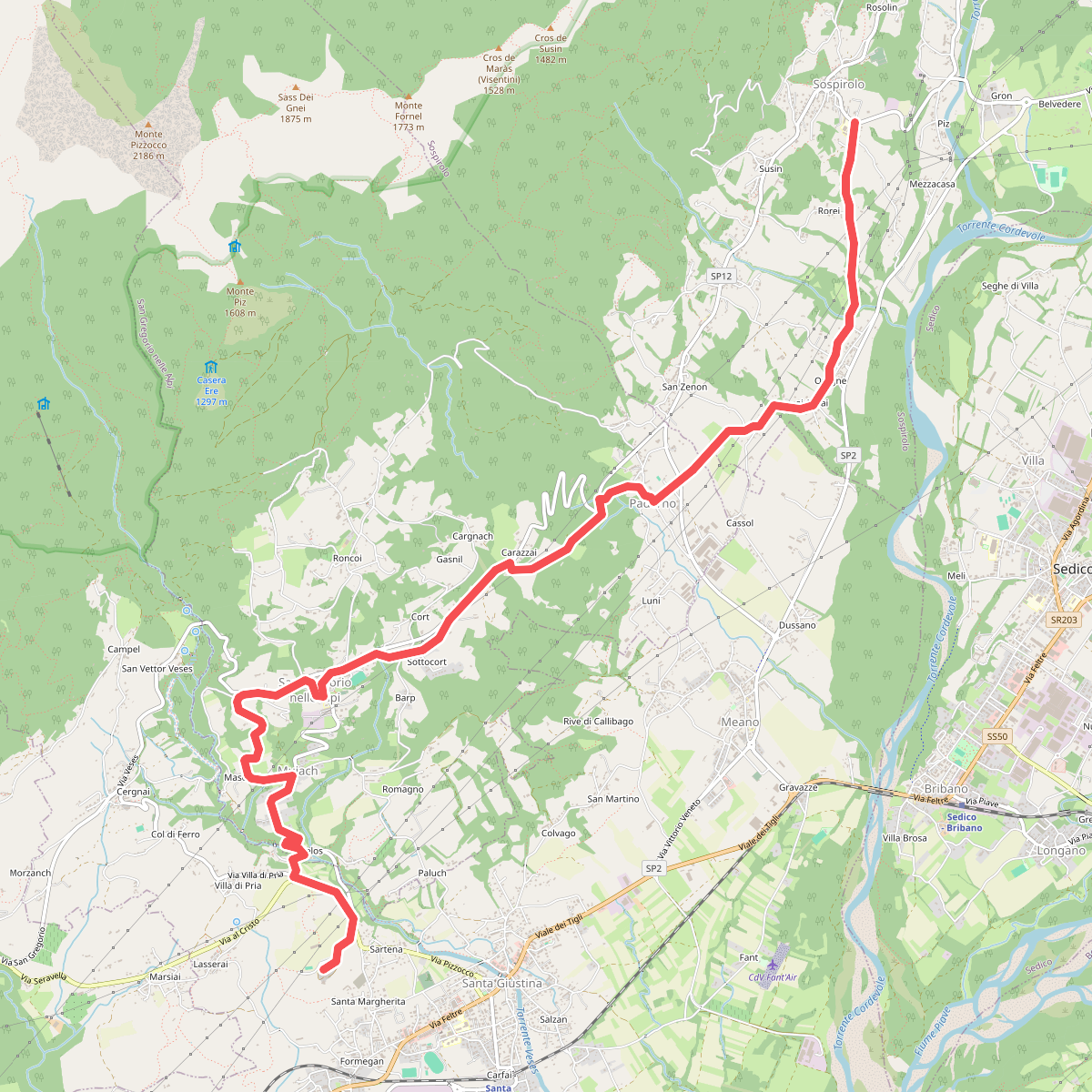
#6. Cammino delle Dolomiti - Tappa 06
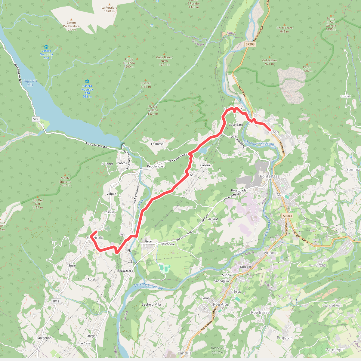
#7. Cammino delle Dolomiti - Tappa 07a
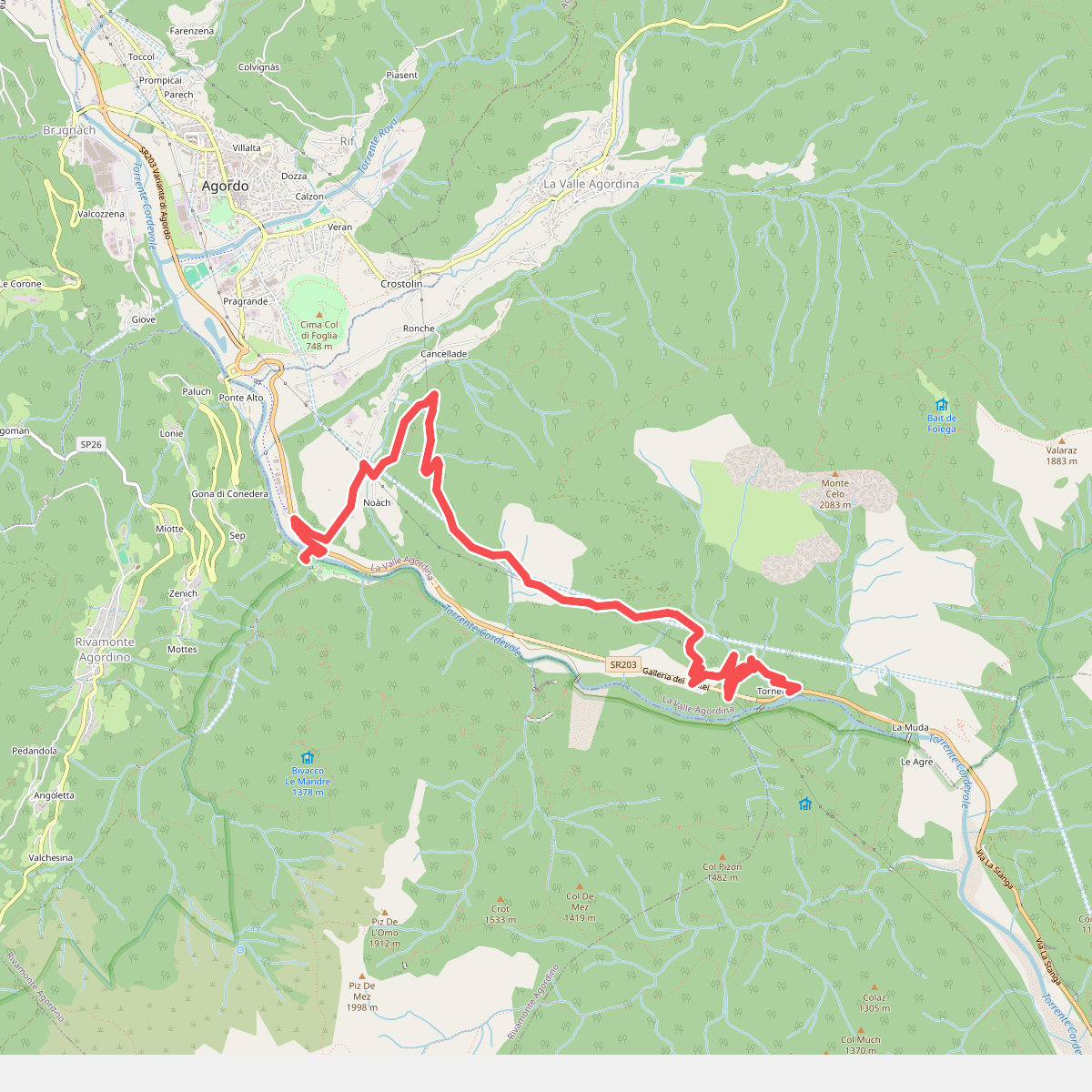
#8. Cammino delle Dolomiti - Tappa 07b
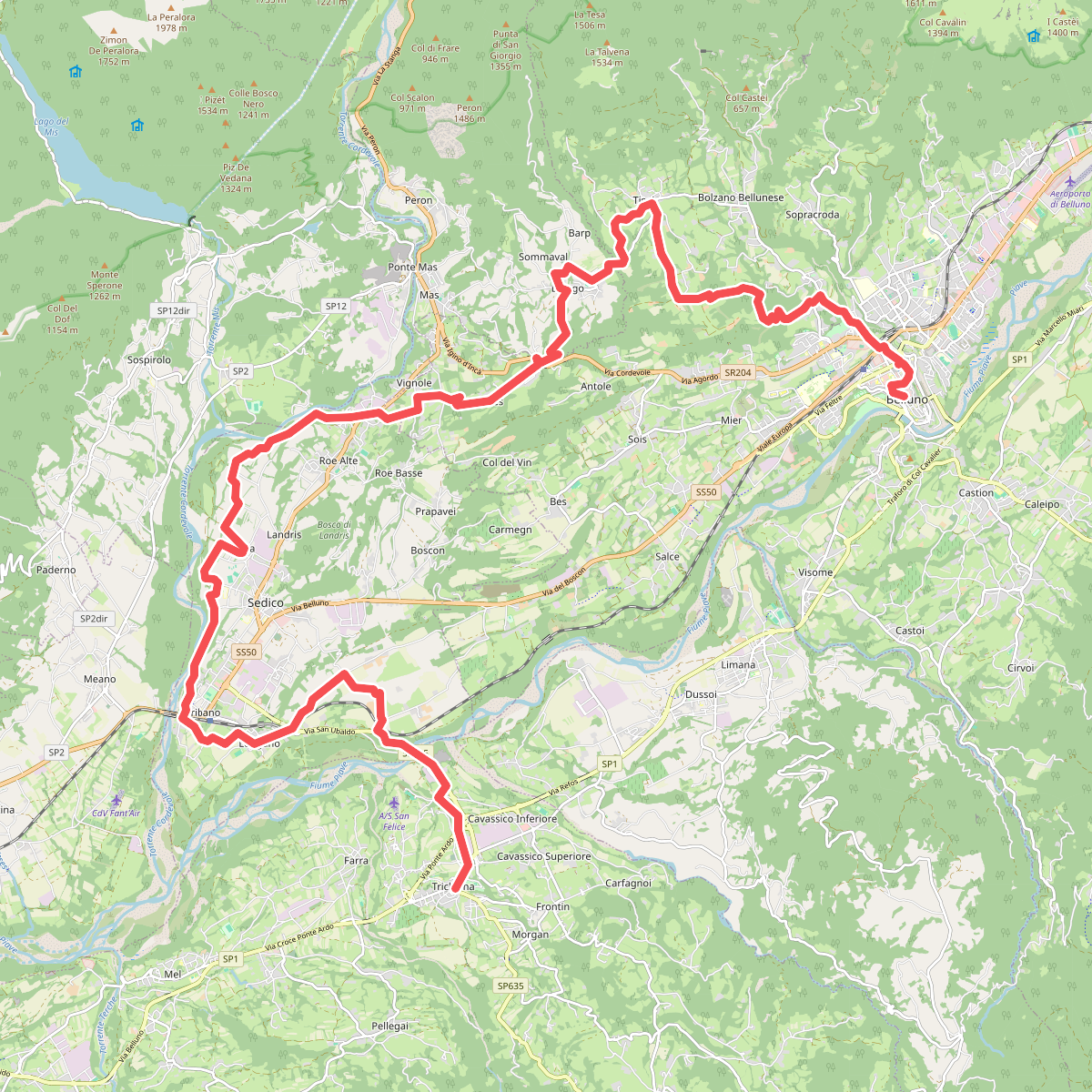
#9. Cammino delle Dolomiti - Tappa 29
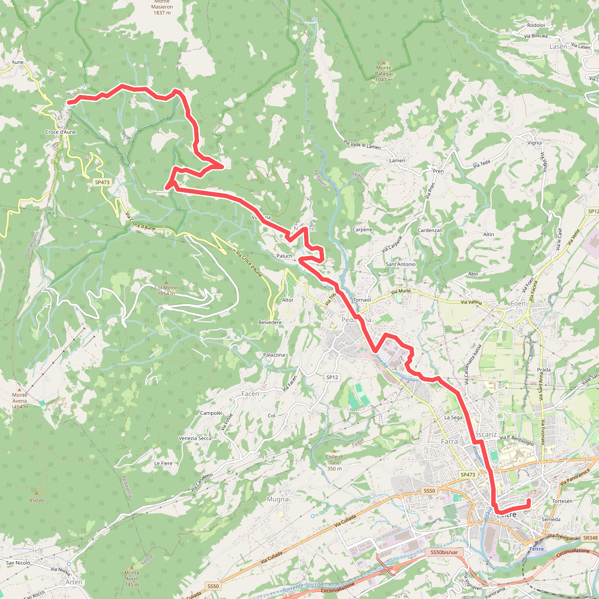
#10. Dolomites World Heritage Geotrail 32
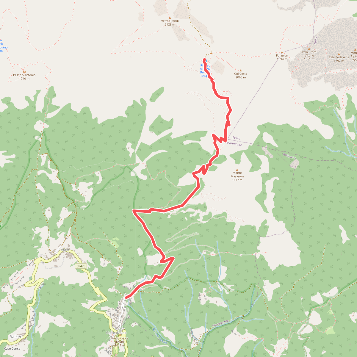
#11. Dolomites World Heritage Geotrail 33