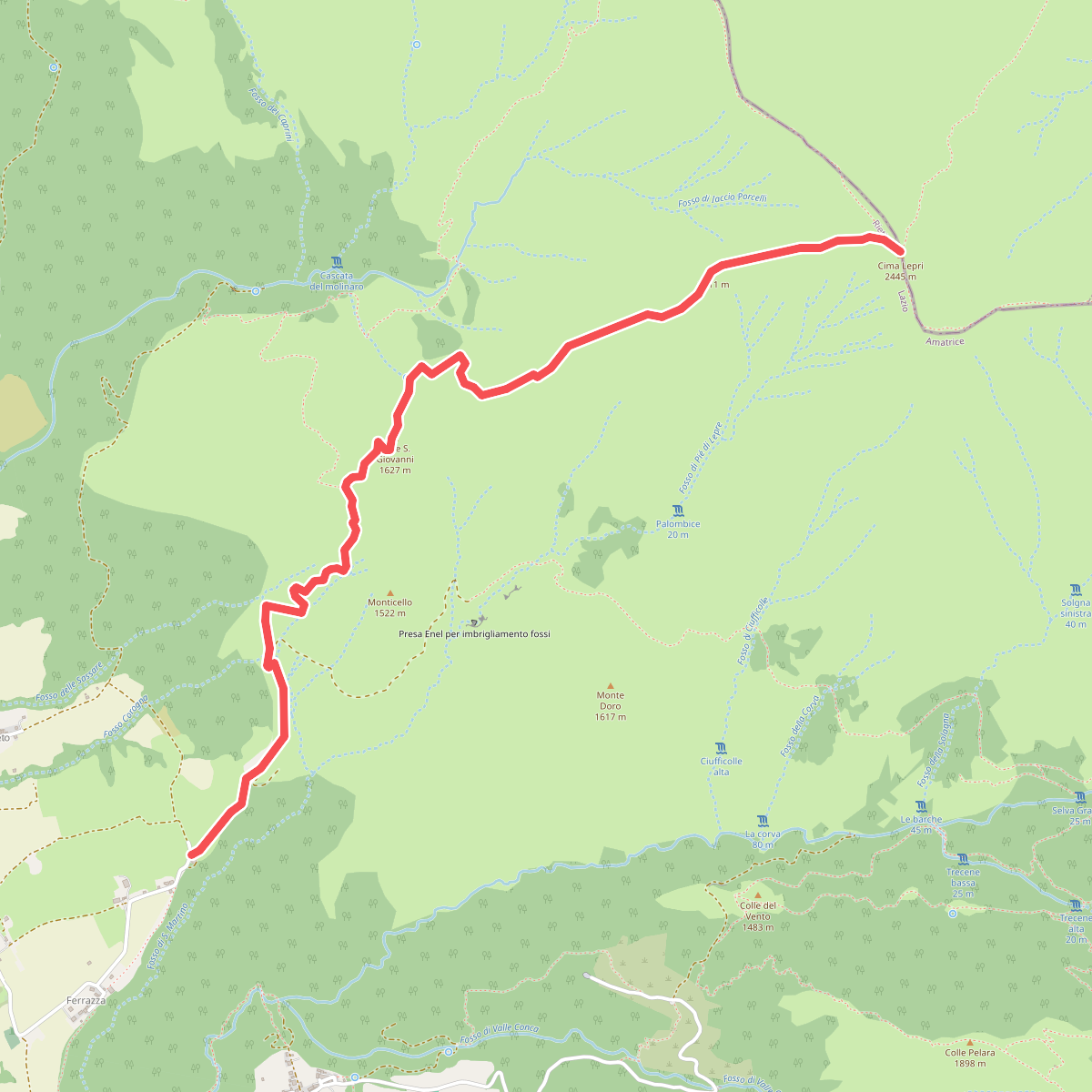
The best hiking routes in Parco Nazionale del Gran Sasso e Monti della Laga
Discover the best walks in Parco Nazionale del Gran Sasso e Monti della Laga. 94 routes on the map, with descriptions, photos and GPX.
About Parco Nazionale del Gran Sasso e Monti della Laga
The Parco Nazionale del Gran Sasso e Monti della Laga contains two distinct geological worlds. In the southern section, the Gran Sasso massif presents a limestone landscape of high karst plates, scree slopes, and sheer rock walls, culminating in the Corno Grande. Here, the paths are dominated by loose limestone gravel and exposed bedrock, requiring careful footwork. In contrast, the northern Monti della Laga sector consists of softer sandstone and marl. This difference in rock type means water does not drain away into underground caves but flows across the surface, creating a network of streams, waterfalls, and damp beech forests where the ground underfoot is softer soil and leaf litter.
Read more
About Parco Nazionale del Gran Sasso e Monti della Laga
The Parco Nazionale del Gran Sasso e Monti della Laga contains two distinct geological worlds. In the southern section, the Gran Sasso massif presents a limestone landscape of high karst plates, scree slopes, and sheer rock walls, culminating in the Corno Grande. Here, the paths are dominated by loose limestone gravel and exposed bedrock, requiring careful footwork. In contrast, the northern Monti della Laga sector consists of softer sandstone and marl. This difference in rock type means water does not drain away into underground caves but flows across the surface, creating a network of streams, waterfalls, and damp beech forests where the ground underfoot is softer soil and leaf litter.
Read moreThe Parco Nazionale del Gran Sasso e Monti della Laga contains two distinct geological worlds. In the southern section, the Gran Sasso massif presents a limestone landscape of high karst plates, scree slopes, and sheer rock walls, culminating in the Corno Grande. Here, the paths are dominated by loose limestone gravel and exposed bedrock, requiring careful footwork. In contrast, the northern Monti della Laga sector consists of softer sandstone and marl. This difference in rock type means water does not drain away into underground caves but flows across the surface, creating a network of streams, waterfalls, and damp beech forests where the ground underfoot is softer soil and leaf litter.
Walkers should expect significant elevation changes and steep climbs rather than gentle, rolling hills. The Campo Imperatore is a vast, high-altitude alpine meadow that offers wide, open walking on grassy tracks, though it is bordered by rugged peaks. While the limestone paths of the Gran Sasso can feel dry and stark, the sandstone trails of the Laga woods remain shaded and damp, with moss-covered rocks and rushing water alongside the path.
In late June, the high pastures of Campo Imperatore are marked by alpine wildflowers, while the higher scree slopes remain bare and rocky. The most popular trailheads around the Gran Sasso cable car station and Campo Imperatore can be busy with visitors, but the forested valleys of the Monti della Laga generally see fewer walkers, offering a more solitary experience on the trail.
Hiking routes in Parco Nazionale del Gran Sasso e Monti della Laga (94)
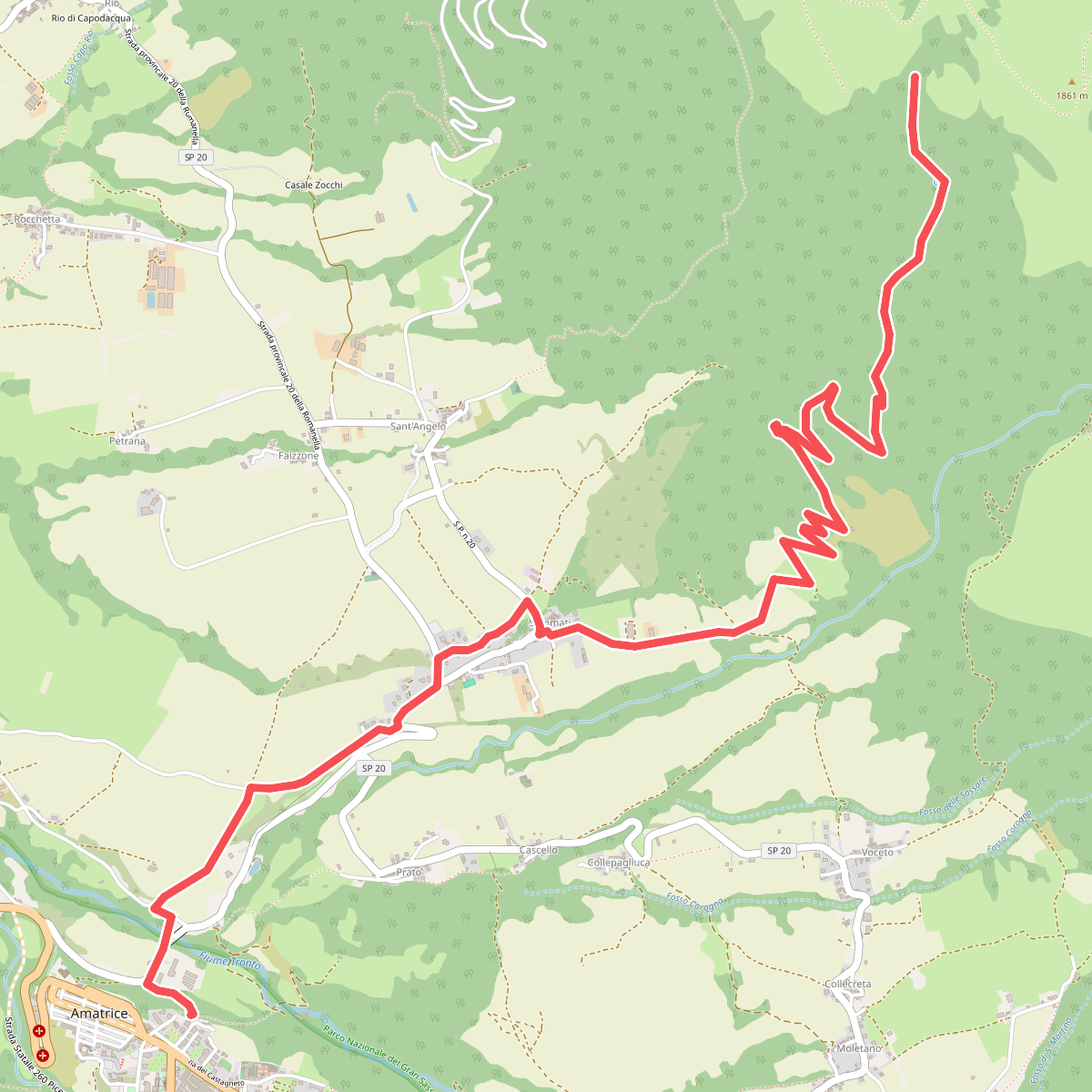
#1. Amatrice (366) - Fonte Cerasa
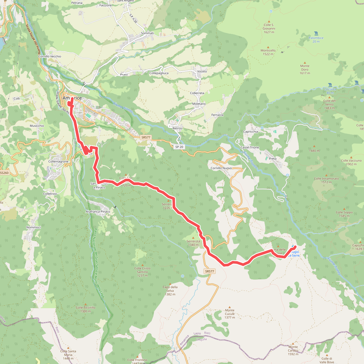
#2. Amatrice - Ponte a Tre Occhi - San Lorenzo - rif. le Serre
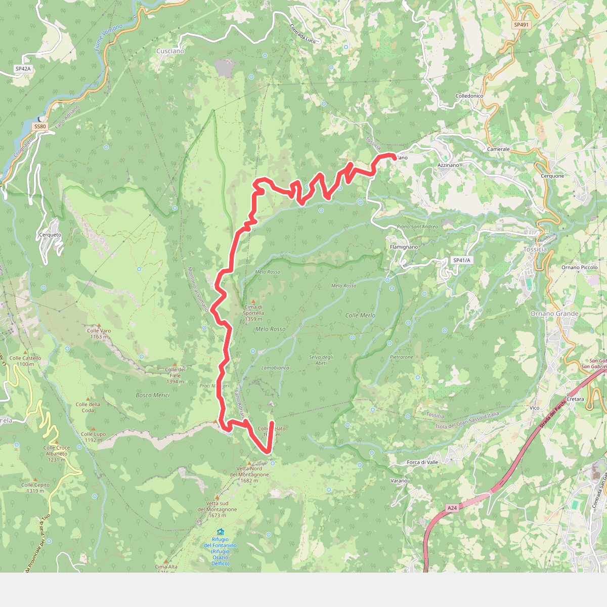
#3. Aquilano - Colle Pelato per Colle Cennone
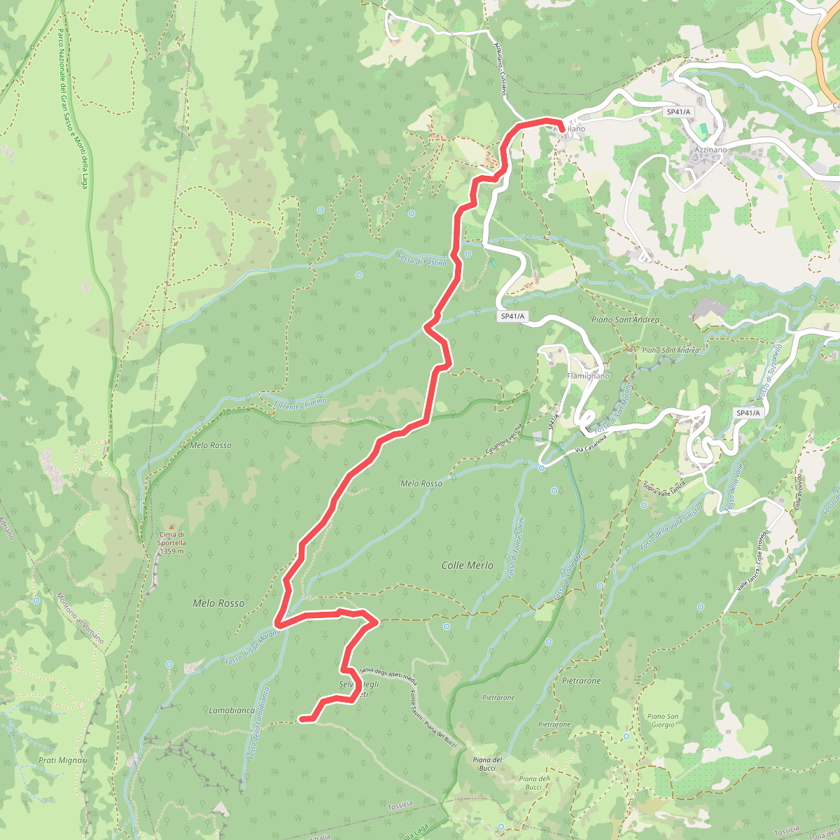
#4. Aquilano - Selva degli Abeti
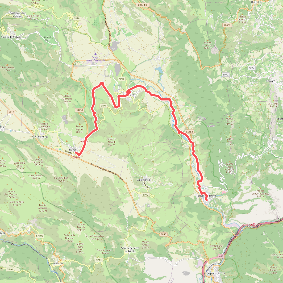
#5. Cammino della Pace - Tappa 5 (via Capestrano)
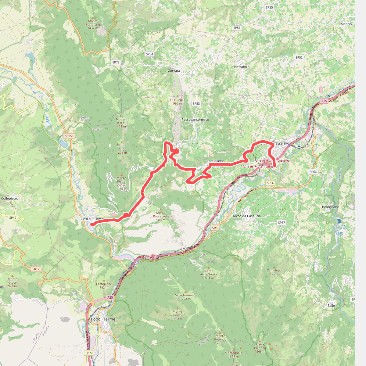
#6. Cammino della Pace - Tappa 6
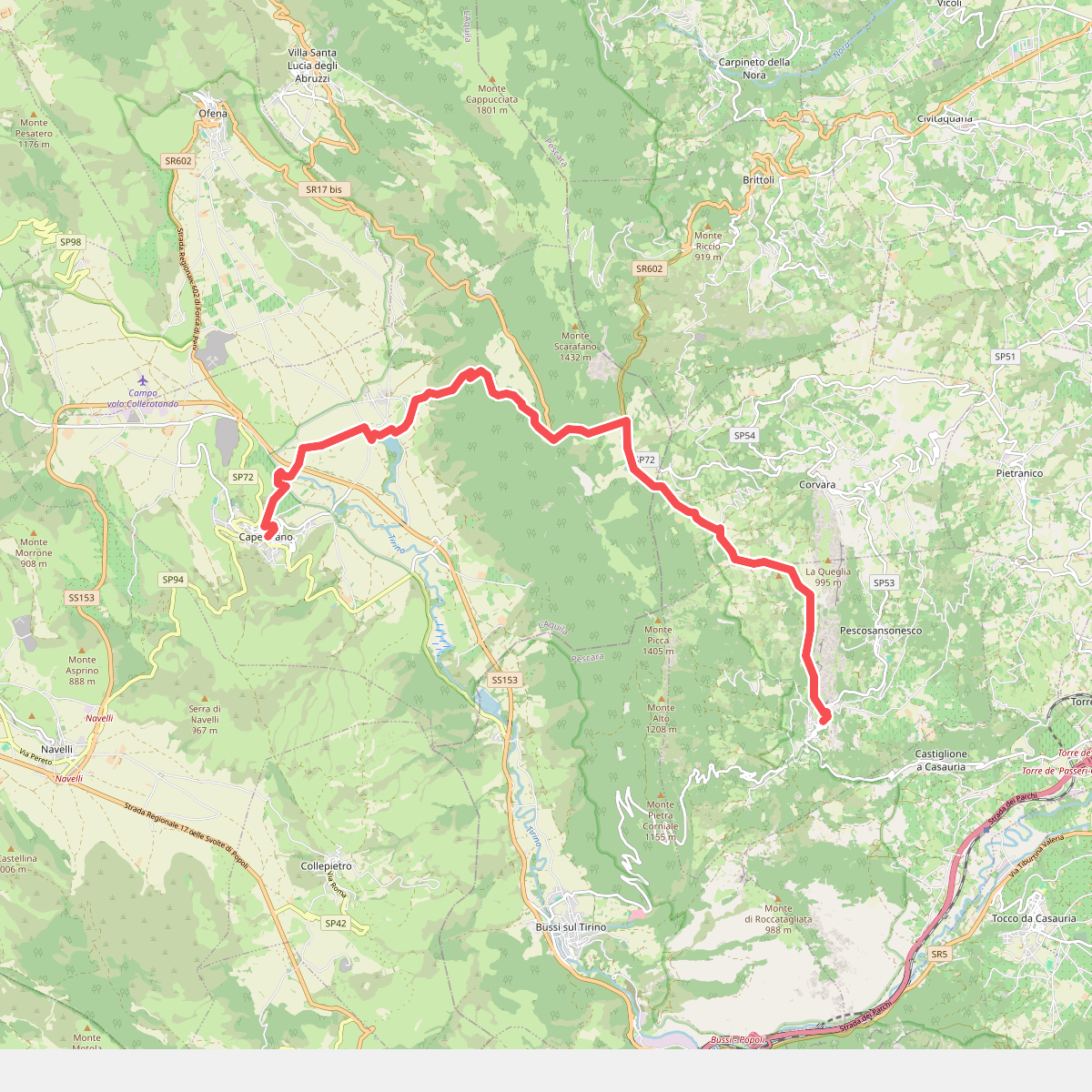
#7. Cammino di San Tommaso - Tappa 12
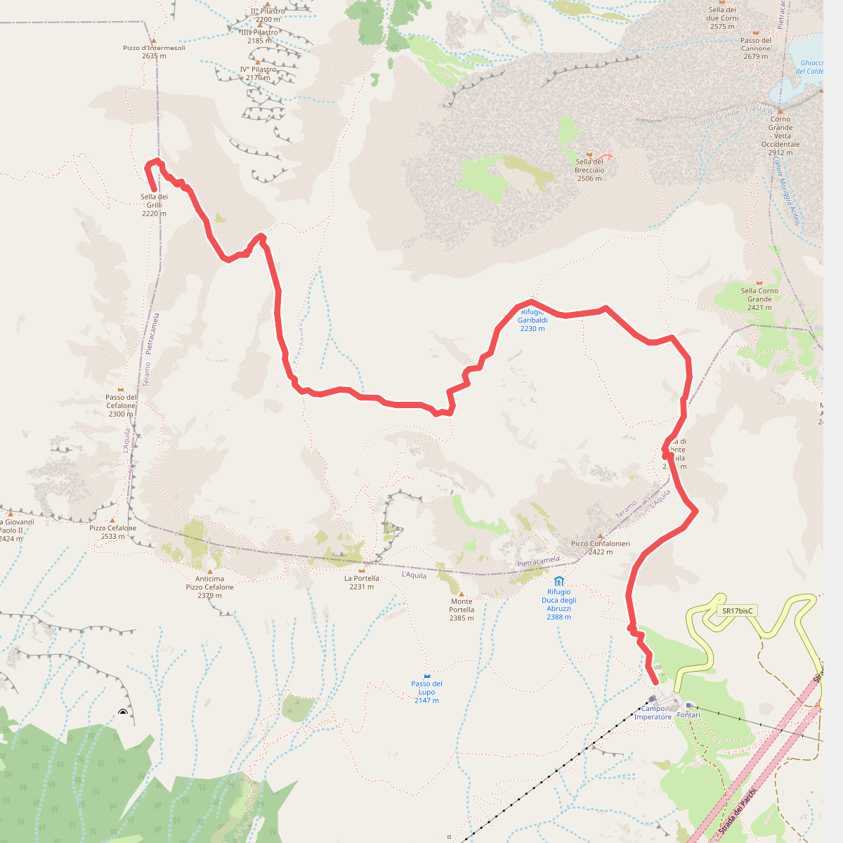
#8. Campo Imperatore - Sella dei Grilli
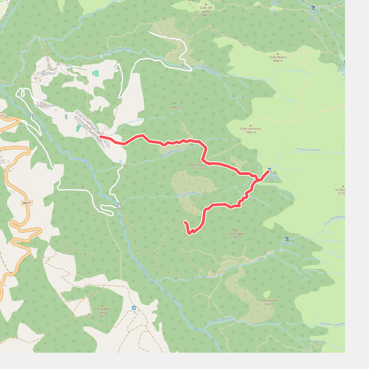
#9. Cascata di Ortanza
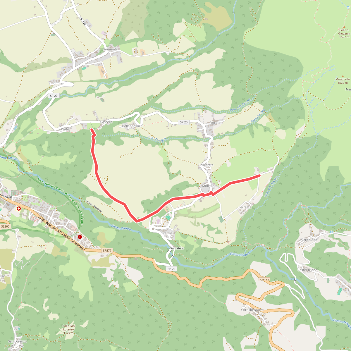
#10. Cascello - Francucciano
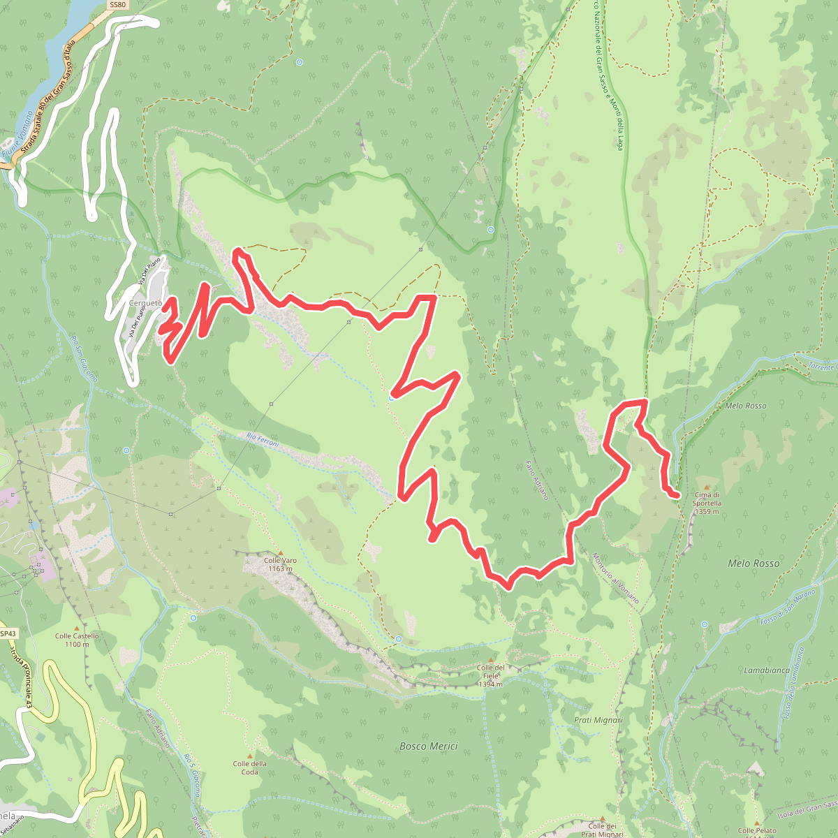
#11. Cerqueto - Cima Sportella