

The best hiking routes in Parco nazionale del Golfo di Orosei e del Gennargentu
Discover the best walks in Parco nazionale del Golfo di Orosei e del Gennargentu. 23 routes on the map, with descriptions, photos and GPX.
About Parco nazionale del Golfo di Orosei e del Gennargentu
The Parco nazionale del Golfo di Orosei e del Gennargentu presents two starkly different walking environments. In the interior Gennargentu range, you walk on rounded, weathered schist and granite domes, where the trails are often stony, exposed, and lack shade. This is a high-altitude landscape of low scrub and scree, where navigation relies on stone cairns rather than clear dirt paths. There are no jagged alpine peaks here, but rather massive, undulating shoulders that require steady footing on loose rock.
Read more
About Parco nazionale del Golfo di Orosei e del Gennargentu
The Parco nazionale del Golfo di Orosei e del Gennargentu presents two starkly different walking environments. In the interior Gennargentu range, you walk on rounded, weathered schist and granite domes, where the trails are often stony, exposed, and lack shade. This is a high-altitude landscape of low scrub and scree, where navigation relies on stone cairns rather than clear dirt paths. There are no jagged alpine peaks here, but rather massive, undulating shoulders that require steady footing on loose rock.
Read moreThe Parco nazionale del Golfo di Orosei e del Gennargentu presents two starkly different walking environments. In the interior Gennargentu range, you walk on rounded, weathered schist and granite domes, where the trails are often stony, exposed, and lack shade. This is a high-altitude landscape of low scrub and scree, where navigation relies on stone cairns rather than clear dirt paths. There are no jagged alpine peaks here, but rather massive, undulating shoulders that require steady footing on loose rock.
In contrast, the Supramonte and the coastal Gulf of Orosei section consist of white limestone plateaus, deep canyons like Gorropu, and steep cliffs. Underfoot, the limestone is sharp, uneven, and highly eroded, demanding stiff-soled boots to cope with the jagged karst surfaces. You will walk through dense holm oak woods where the path is often a bed of dry leaves and loose limestone rubble, occasionally opening up to coastal drop-offs.
Water is scarce on the limestone plateaus, where rain disappears immediately into underground cave systems, leaving the surface dry. In May, the interior highlands still show green patches of mountain herbs before the summer heat dries the low vegetation. Walkers should expect rugged, slow-going terrain where progress is measured by careful steps over rock rather than fast strides on flat soil.
Hiking routes in Parco nazionale del Golfo di Orosei e del Gennargentu (23)
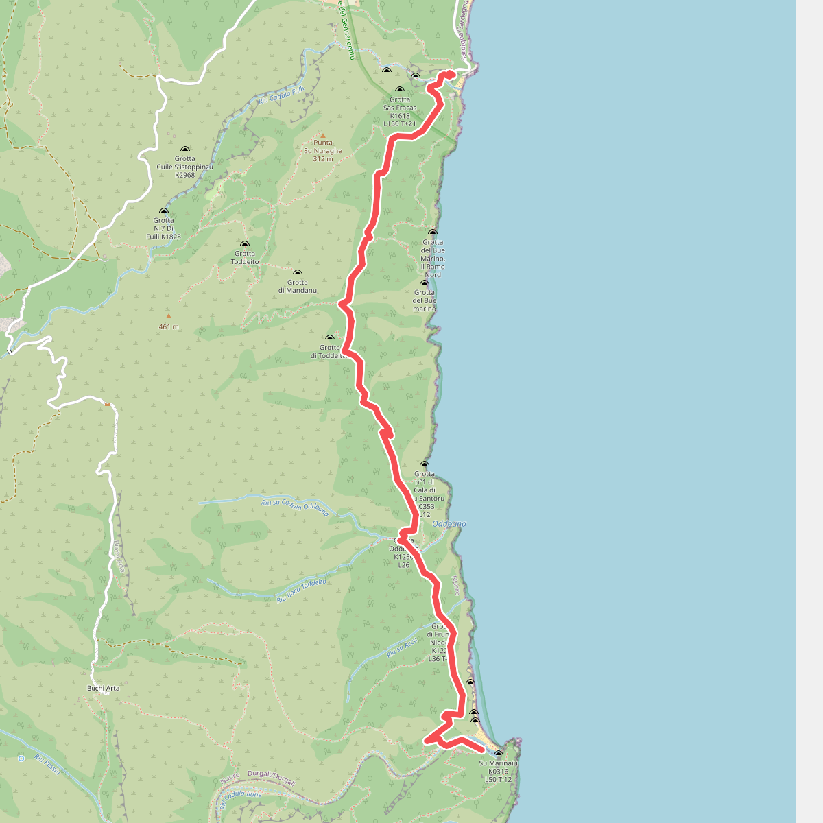
#1. B162 - Parcheggio Fuili - Cala Luna
Durgali/Dorgali,Baunei
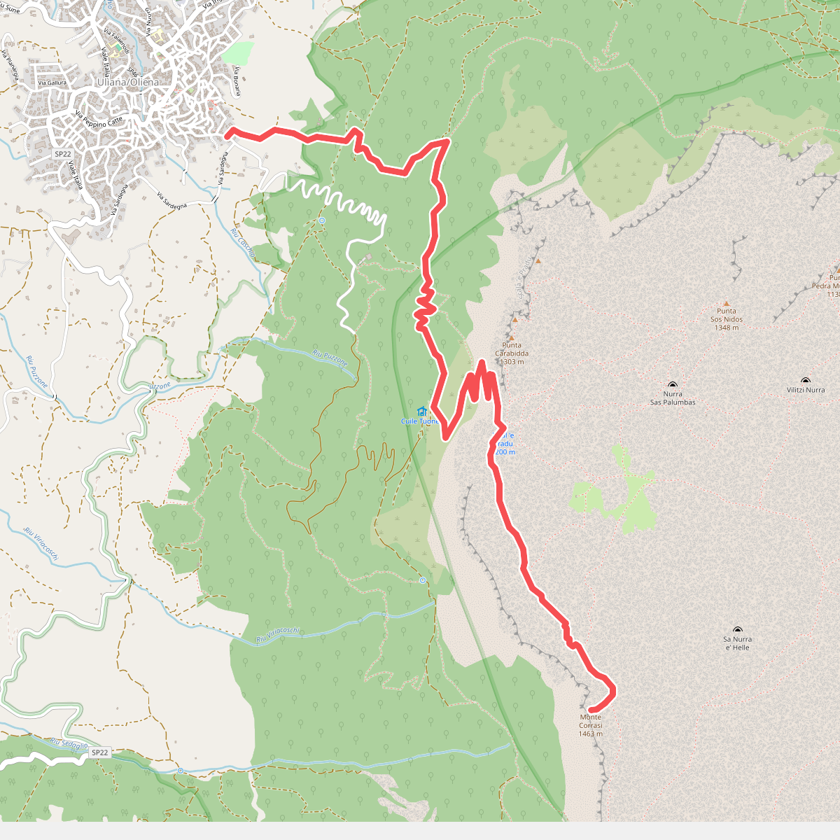
#2. B401 - Oliena - Monte Corrasi
Ulìana/Oliena
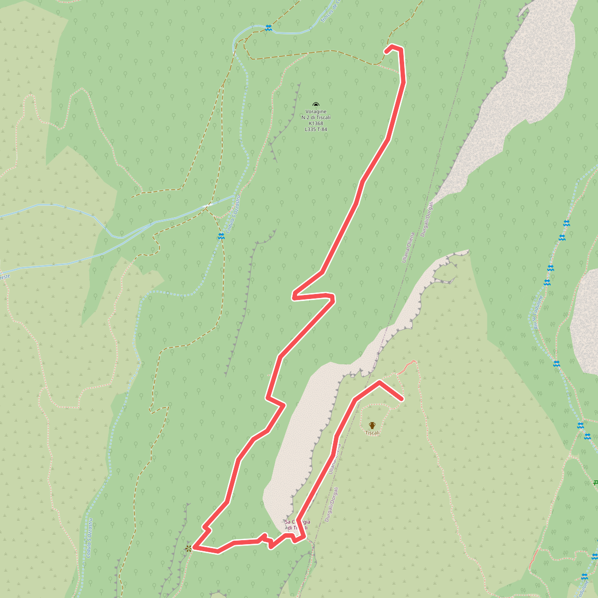
#3. B410 - Su Ruvagliu - Tiscali
Ulìana/Oliena,Durgali/Dorgali
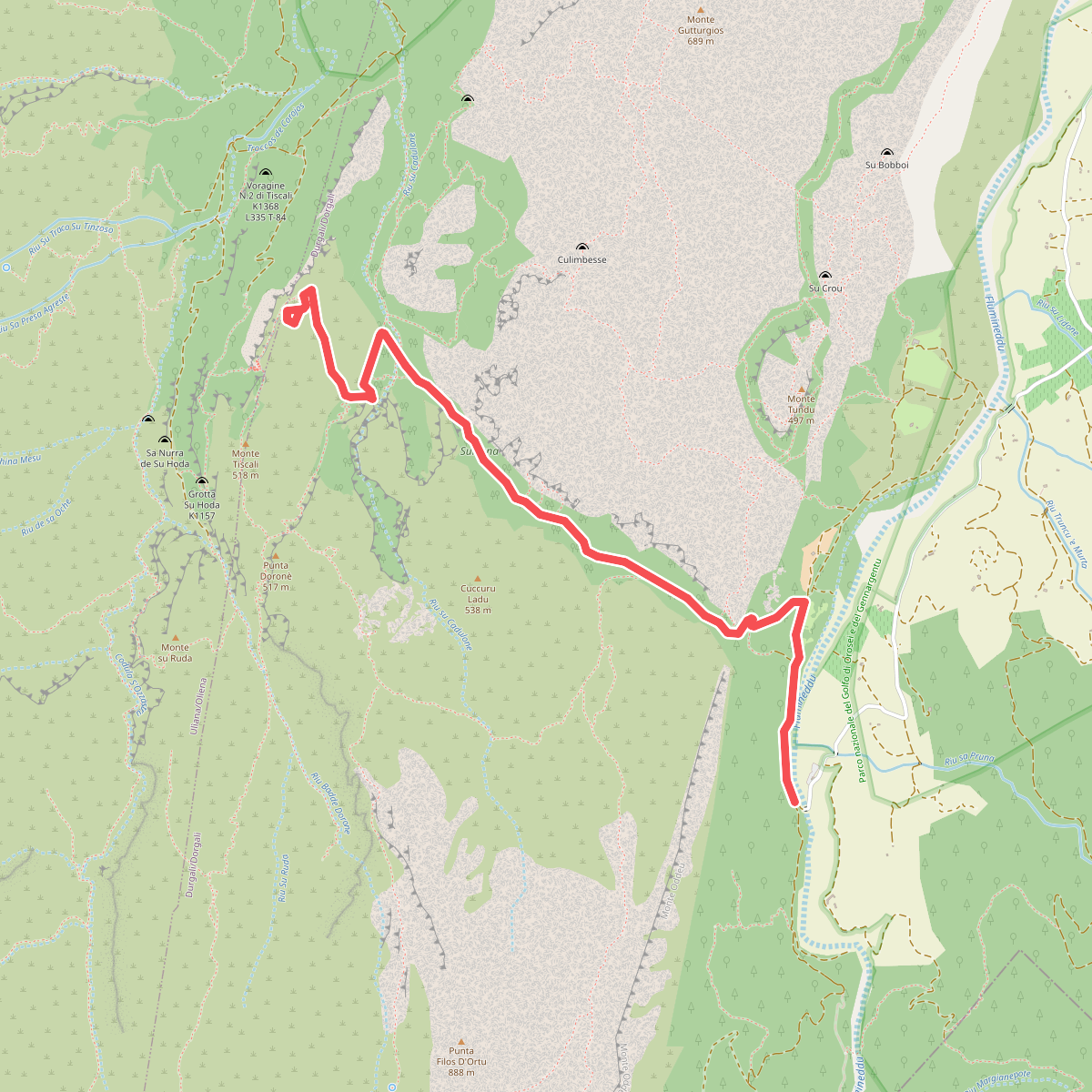
#4. B481 - Ponte S'Abba Arva - Tiscali
Durgali/Dorgali
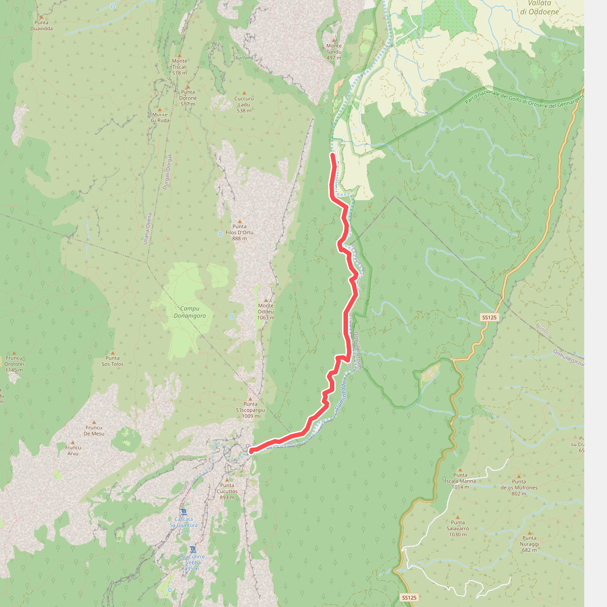
#5. B485 - Ponte S'Abba Arva - Gola di Gorropu
Durgali/Dorgali,Orgòsolo/Orgosolo
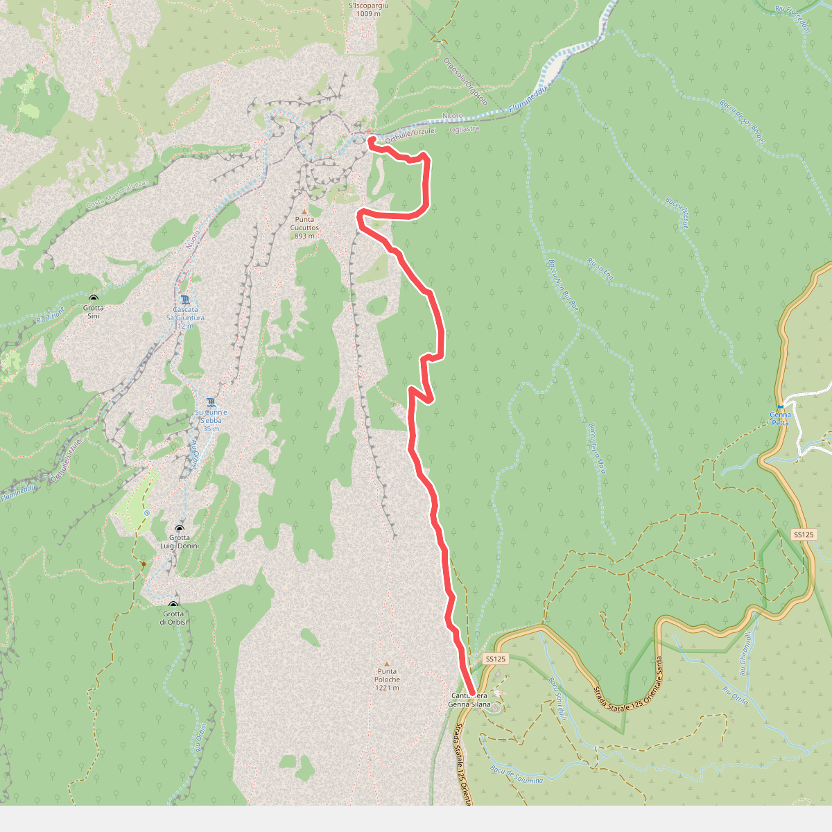
#6. B505 - Ghenna Silana - Gorropu
Orthullè/Urzulei
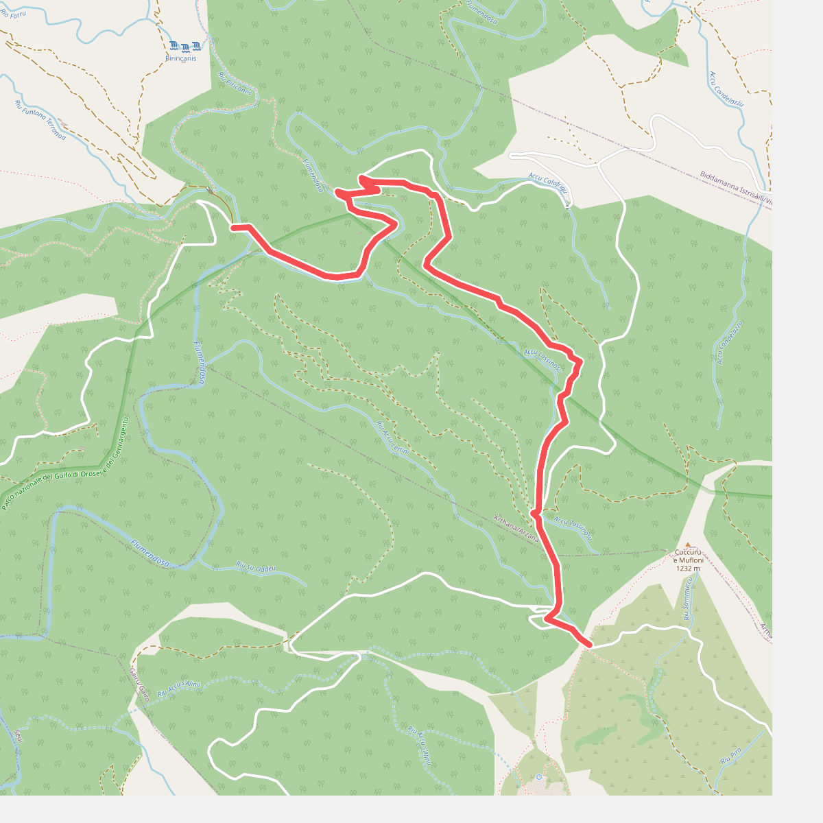
#7. Flumendosa - Pinningasu
Àrthana/Arzana,Gàiru/Gairo
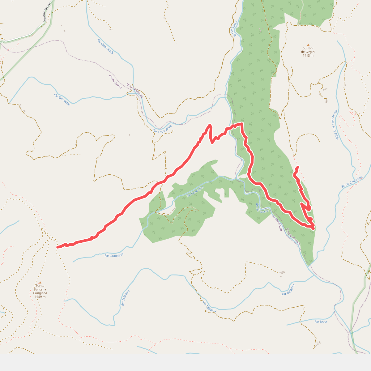
#8. Grande Traversata Gennargentu
Dèsulu/Desulo,Aritzu/Aritzo
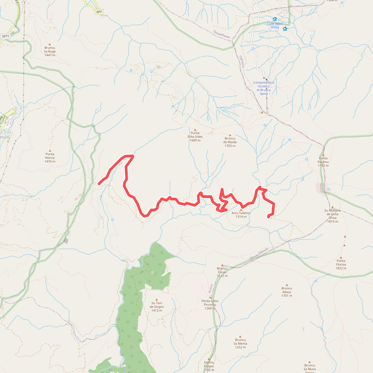
#9. Is Meriagus
Dèsulu/Desulo
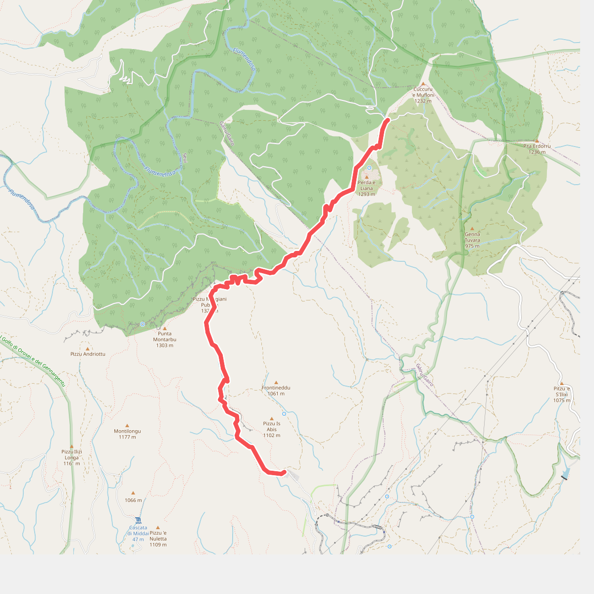
#10. Montarbu - Anello di Perda Liana
Gàiru/Gairo,Seui
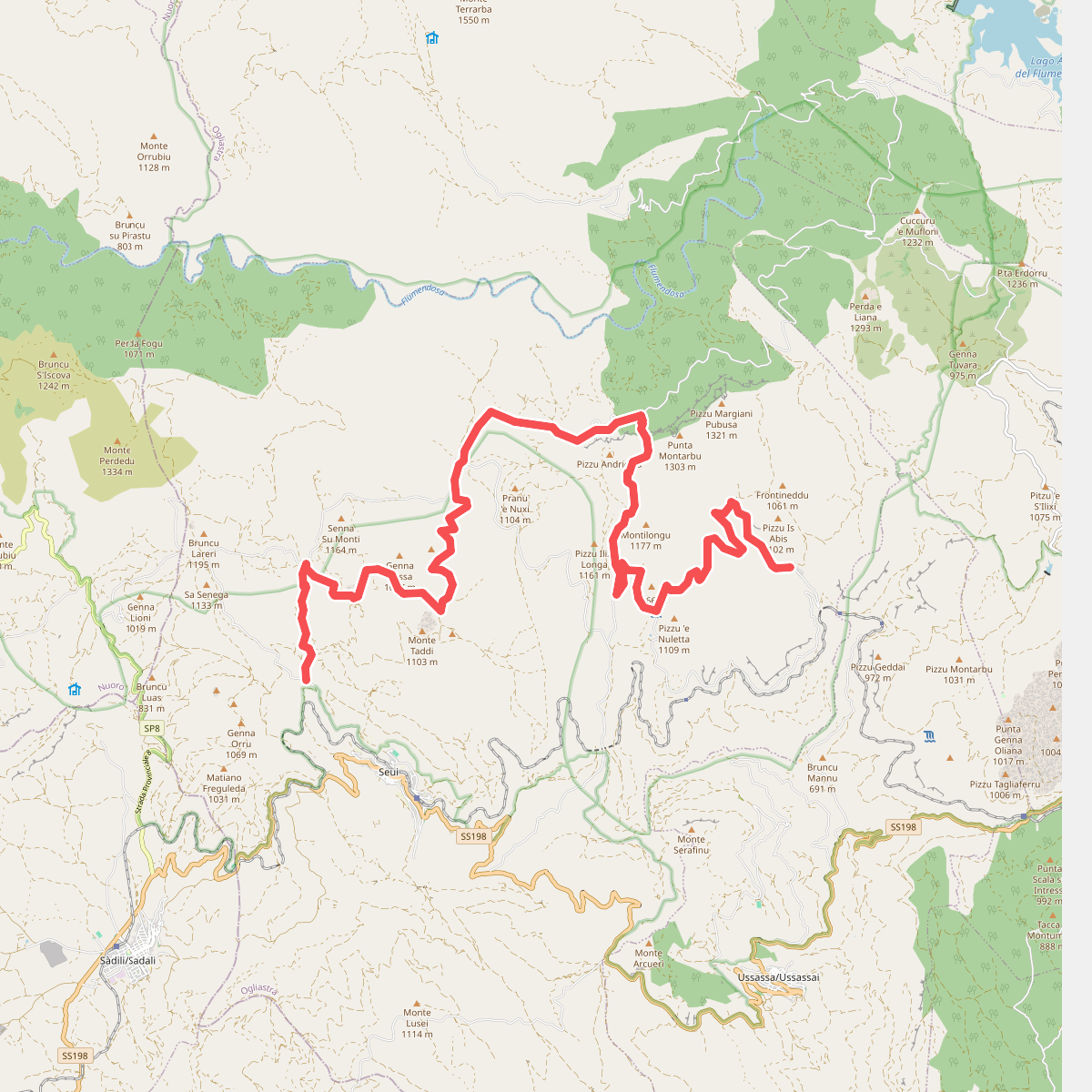
#11. Montarbu - San Sebastiano
Seui
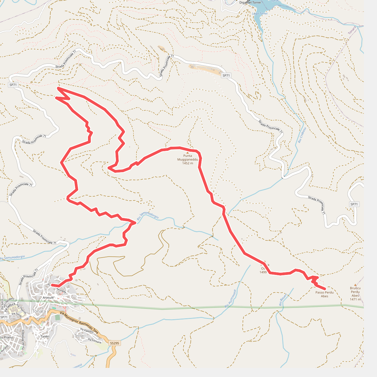
#12. Muggianeddu
Tonara



