

The best hiking routes in Parco naturale regionale dell'Antola
Discover the best walks in Parco naturale regionale dell'Antola. 25 routes on the map, with descriptions, photos and GPX.
About Parco naturale regionale dell'Antola
Parco naturale regionale dell'Antola occupies a rugged section of the Ligurian Apennines, characterized by steep limestone slopes, dense beech woods, and high-altitude pastures. Unlike the flat coastal strips nearby, this park is defined by its sharp elevation changes and deep, forested valleys. Walkers will find a landscape shaped by traditional mountain farming, where open grassy ridges contrast sharply with the dark, enclosed canopy of the chestnut and oak forests lower down.
Read more
About Parco naturale regionale dell'Antola
Parco naturale regionale dell'Antola occupies a rugged section of the Ligurian Apennines, characterized by steep limestone slopes, dense beech woods, and high-altitude pastures. Unlike the flat coastal strips nearby, this park is defined by its sharp elevation changes and deep, forested valleys. Walkers will find a landscape shaped by traditional mountain farming, where open grassy ridges contrast sharply with the dark, enclosed canopy of the chestnut and oak forests lower down.
Read moreParco naturale regionale dell'Antola occupies a rugged section of the Ligurian Apennines, characterized by steep limestone slopes, dense beech woods, and high-altitude pastures. Unlike the flat coastal strips nearby, this park is defined by its sharp elevation changes and deep, forested valleys. Walkers will find a landscape shaped by traditional mountain farming, where open grassy ridges contrast sharply with the dark, enclosed canopy of the chestnut and oak forests lower down.
Underfoot, the paths vary from stony, loose mule tracks to soft dirt trails covered in leaf litter. The limestone geology means that water drains quickly on the upper slopes, leaving the ridges dry, while the valley floors near the Scrivia and Trebbia rivers are damp and shaded. In May, the high meadows around Mount Antola itself are marked by the flowering of wild narcissi and peonies, which briefly transforms the otherwise austere grassland.
This is a working mountain landscape rather than a pristine wilderness. You will encounter old stone terraces, abandoned stone barns, and active cattle pastures along the trails. The terrain requires steady footwork due to the gradient and the rocky surface, but it lacks the sheer rock faces or glacier-carved valleys of the higher alpine ranges.
Hiking routes in Parco naturale regionale dell'Antola (25)
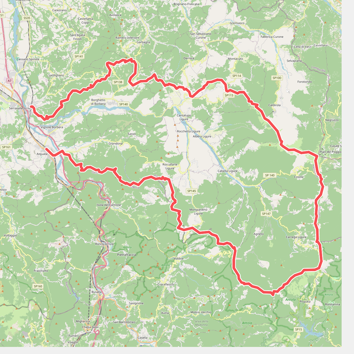
#1. Anello Borbera - Spinti
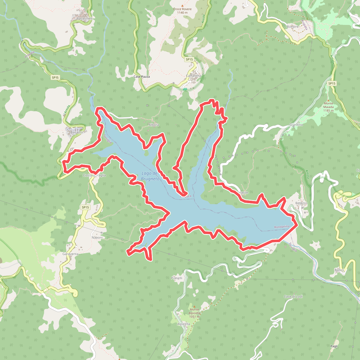
#2. Anello del Brugneto
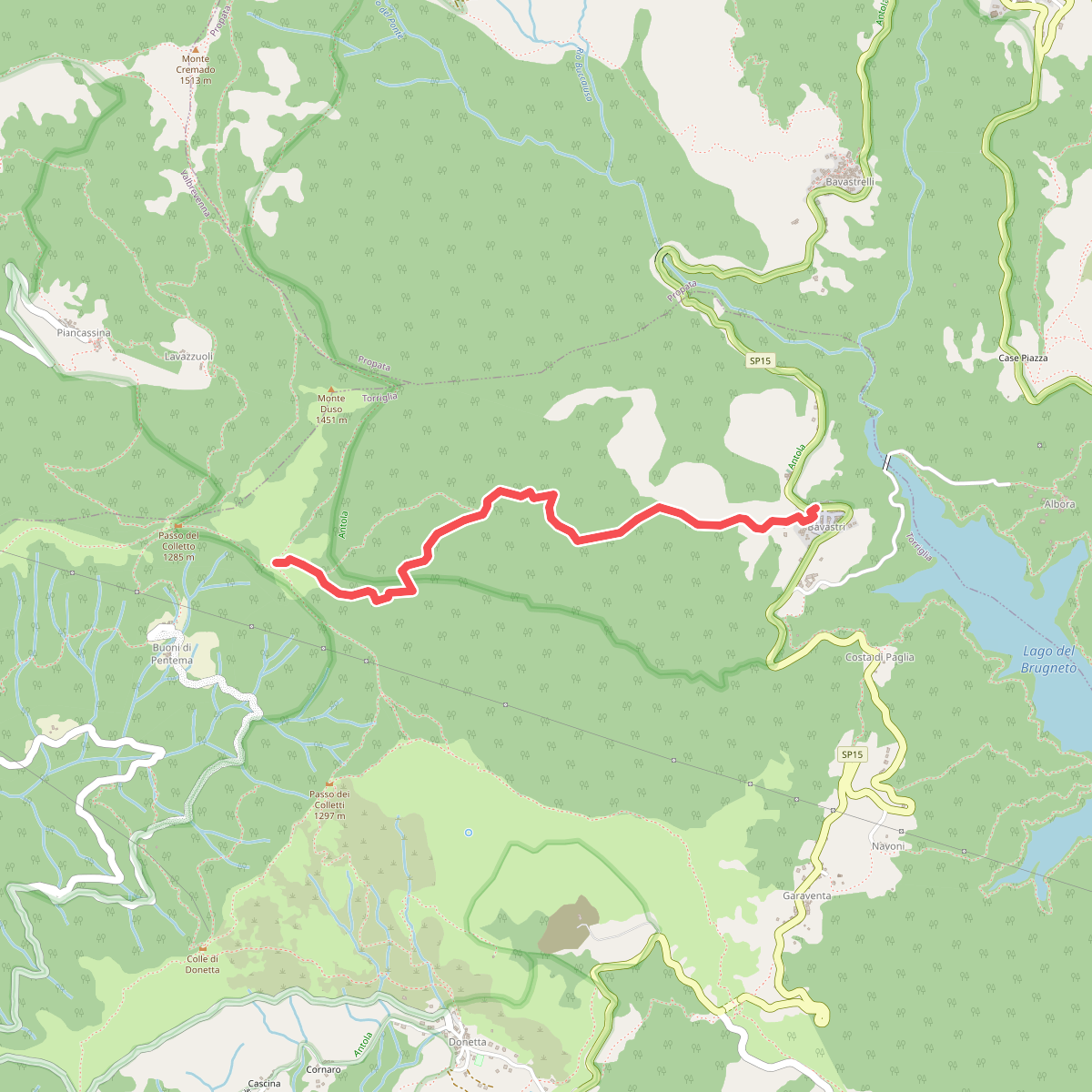
#3. Bavastri - Passo del Colletto
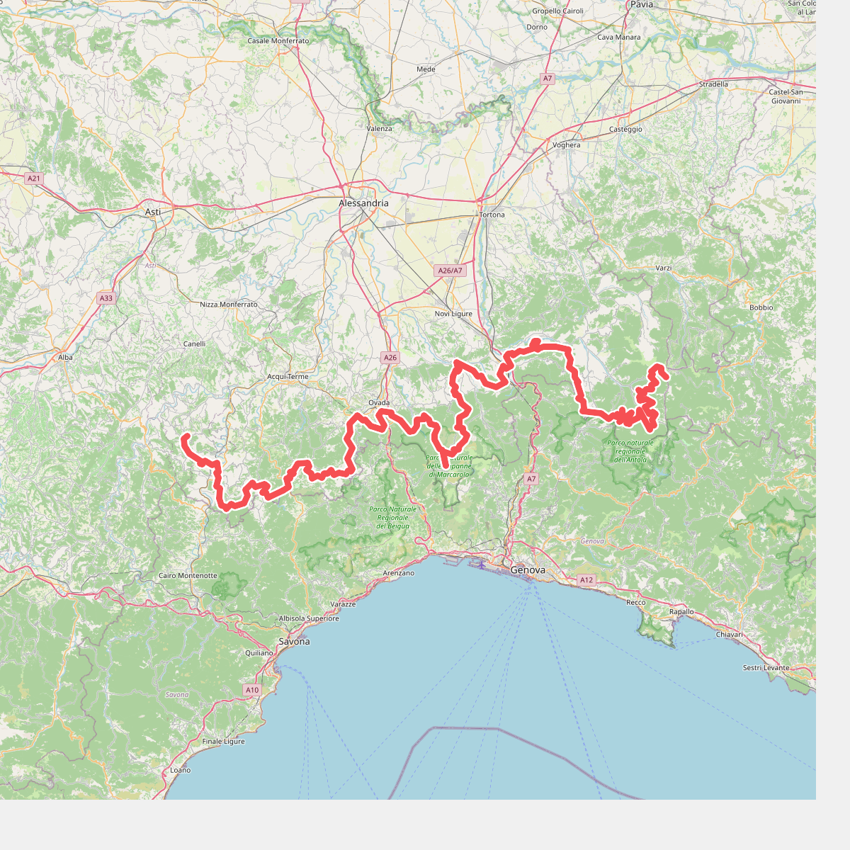
#4. Cammino Piemonte Sud
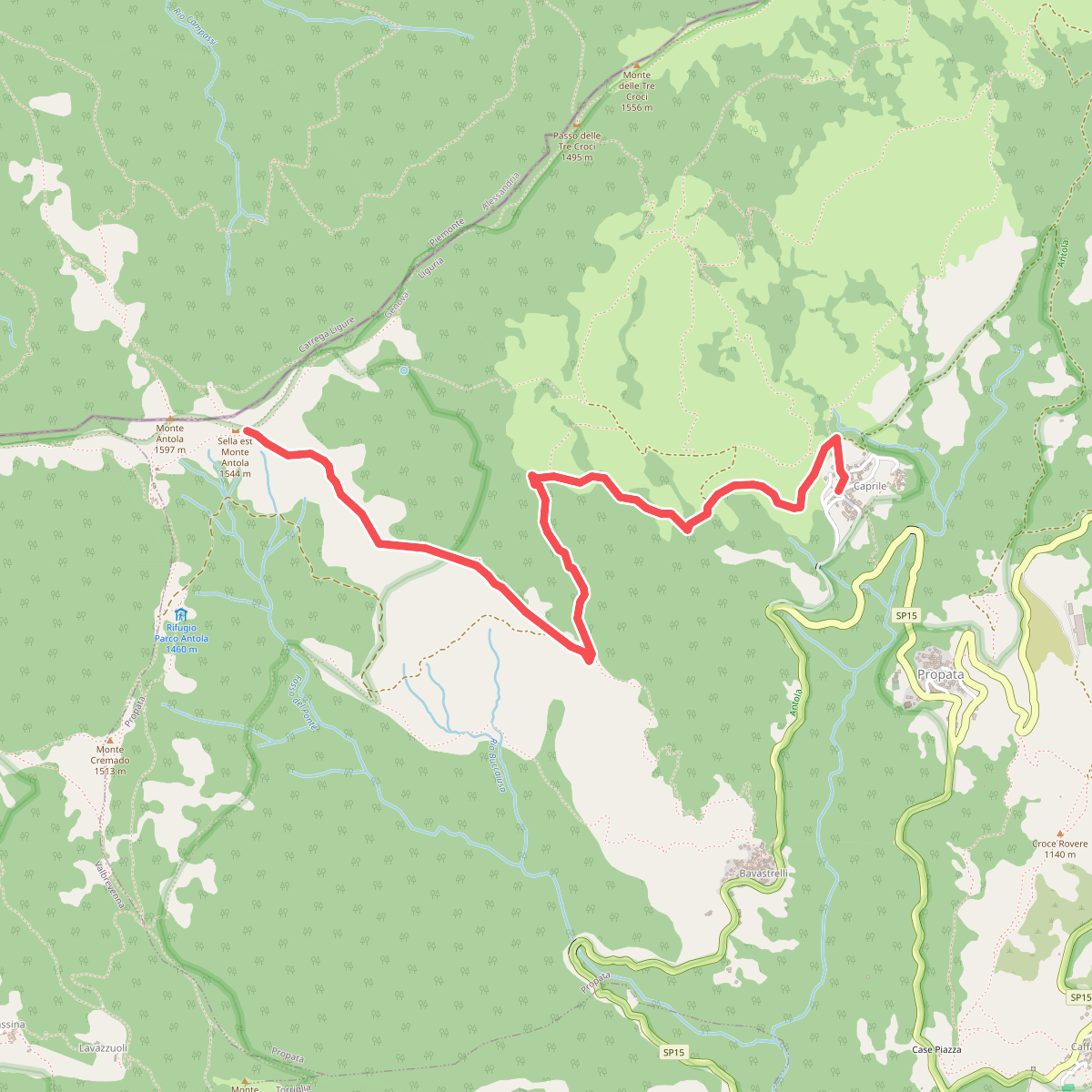
#5. Caprile - Sella Est Monte Antola
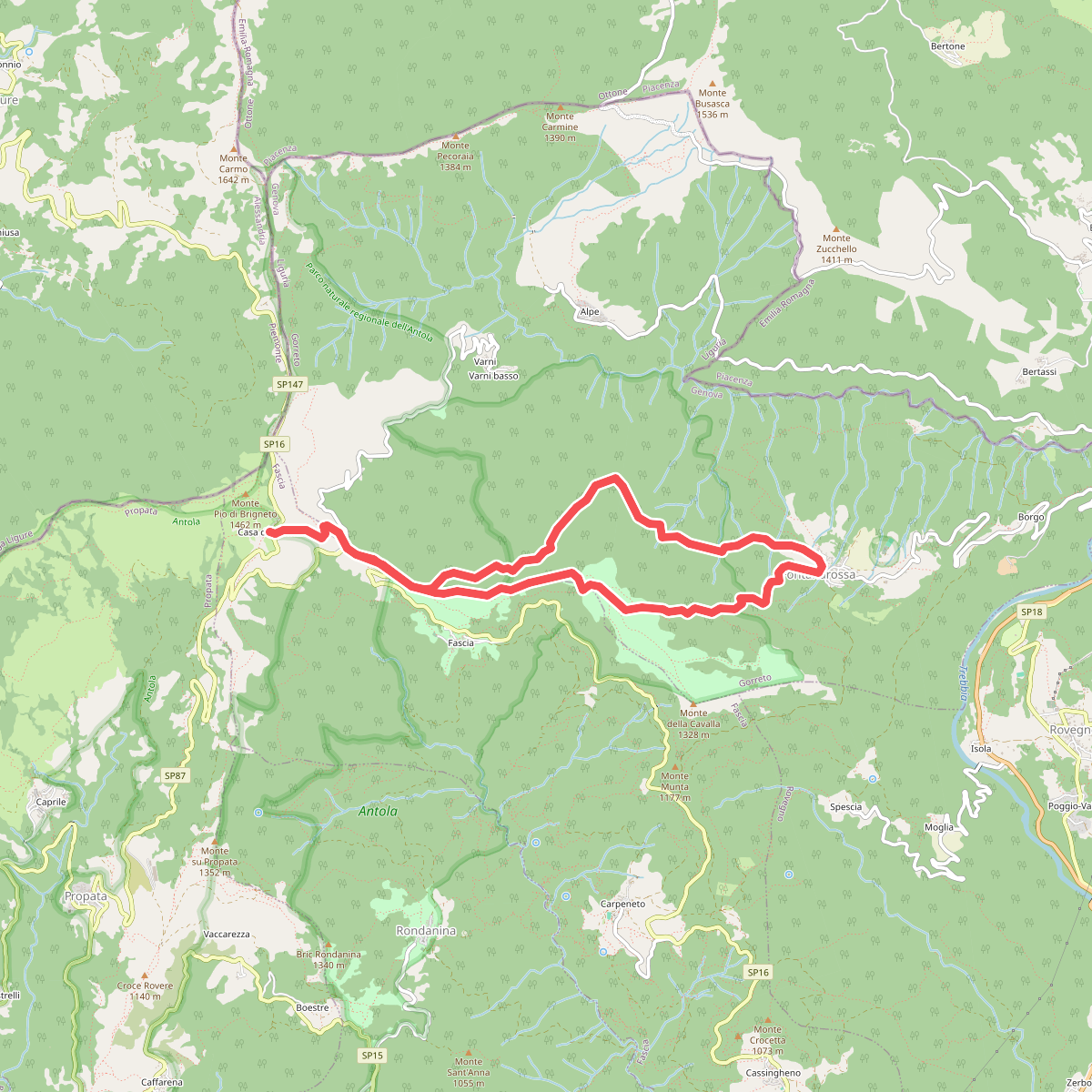
#6. Casa del Romano - Fontanarossa - Casa del Romano
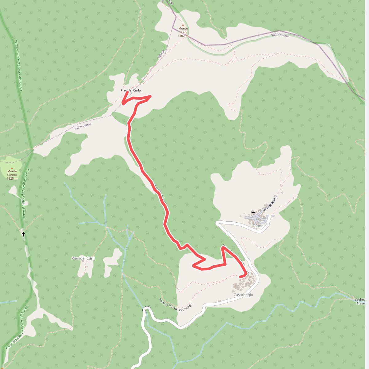
#7. Casareggio - Pian del Curlo
Vobbia
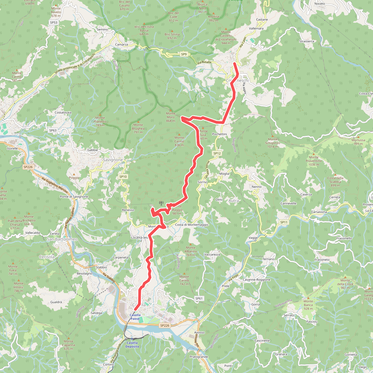
#8. Casella - Monte Maggio - Crocefieschi
Crocefieschi,Savignone,Casella
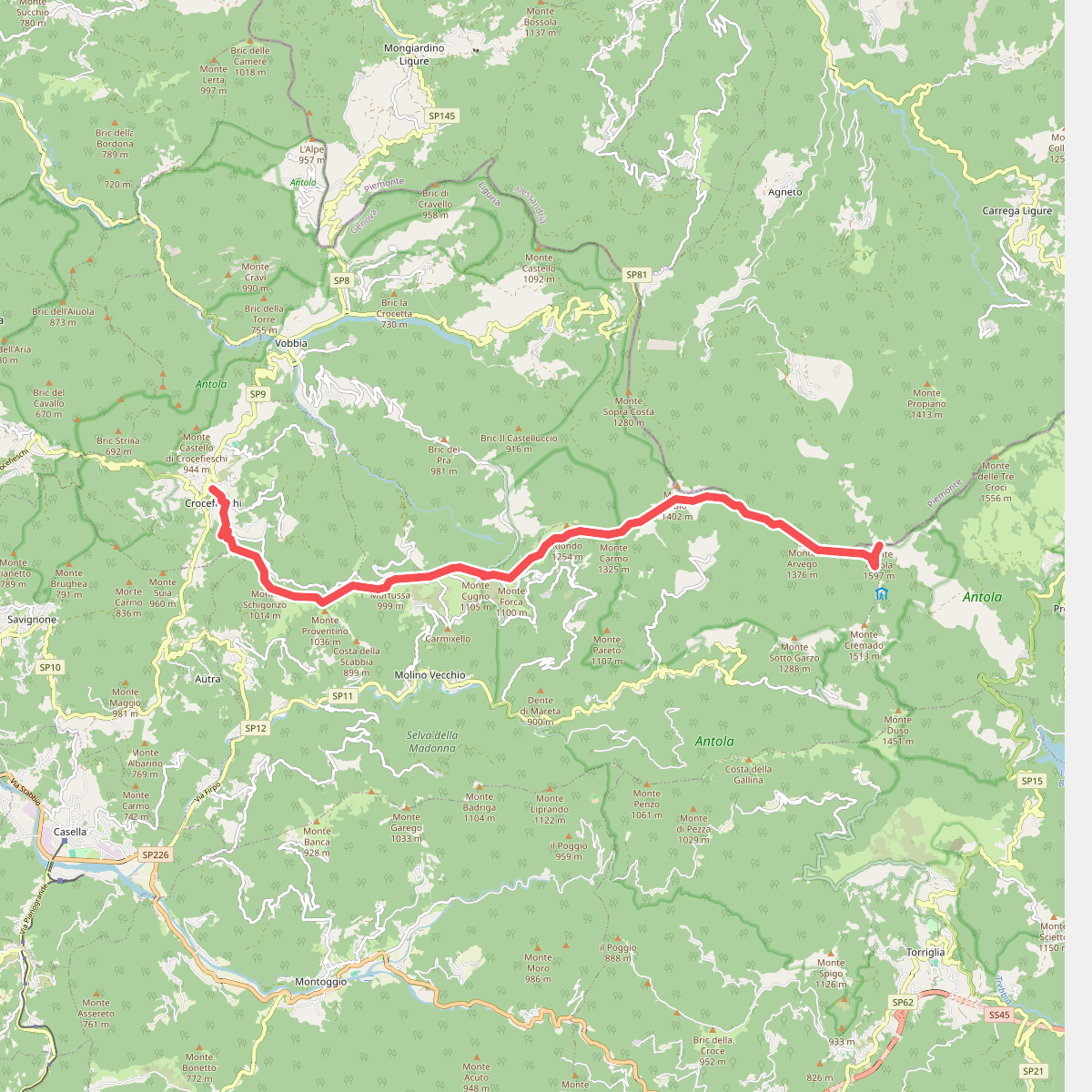
#9. Crocefieschi - Monte Antola
Carrega Ligure,Propata,Vobbia,Crocefieschi
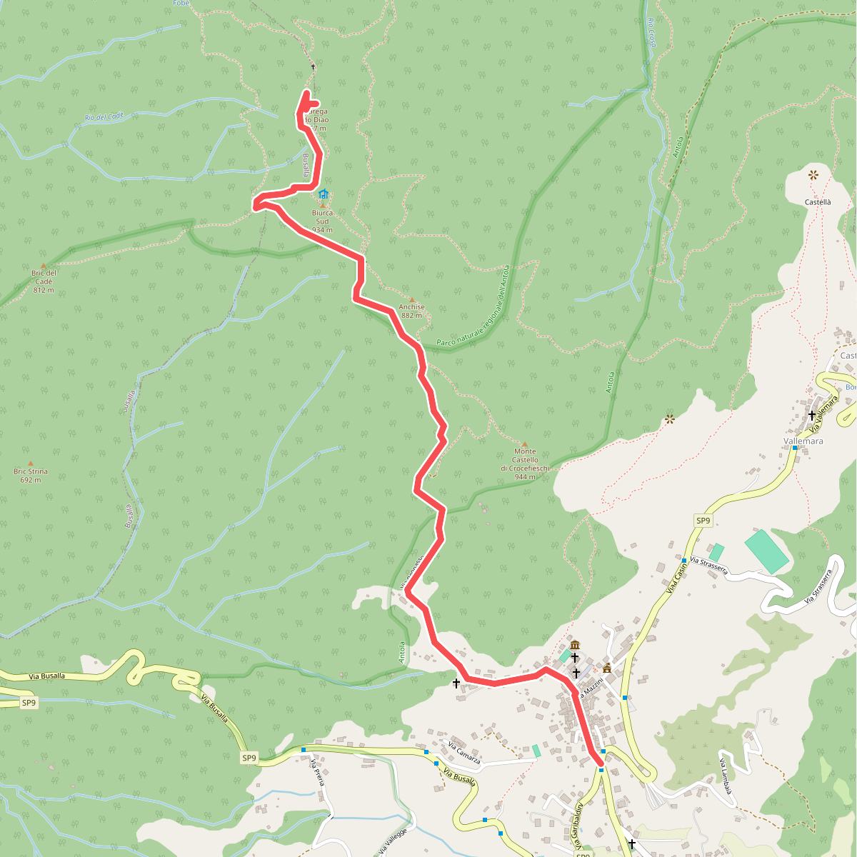
#10. Crocefieschi - Rocche del Reopasso (Sedia del Diavolo)
Crocefieschi,Busalla
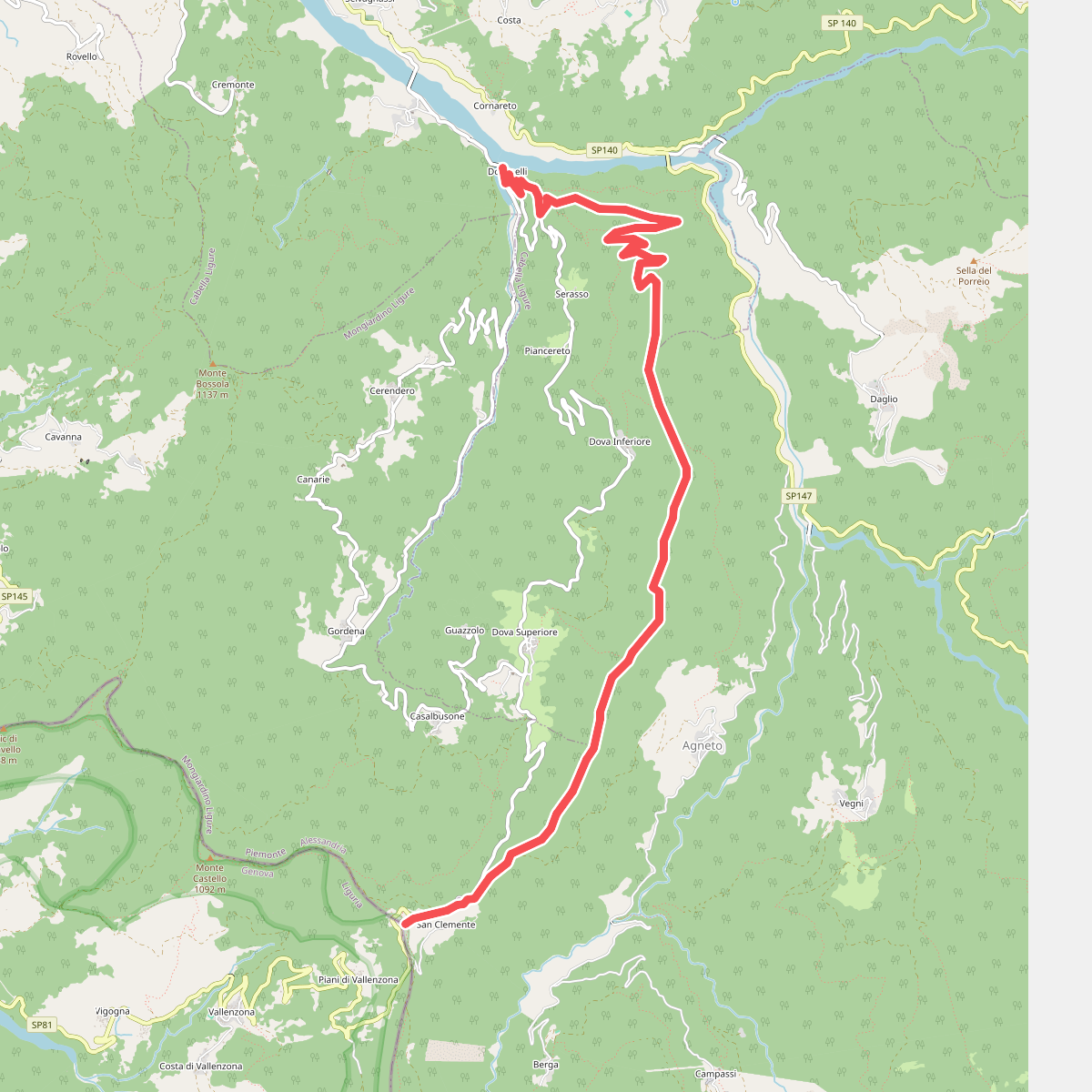
#11. Dovanelli – San Fermo
Cabella Ligure,Carrega Ligure,Mongiardino Ligure
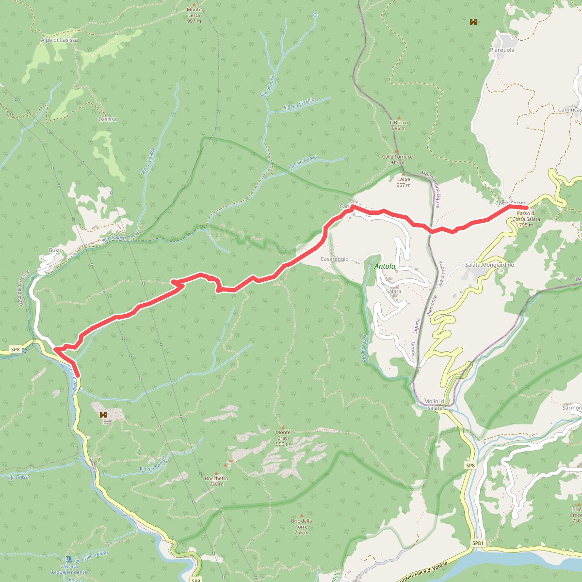
#12. Ex Osteria Castello della Pietra - Caprieto - Passo di Salata
Vobbia,Mongiardino Ligure



