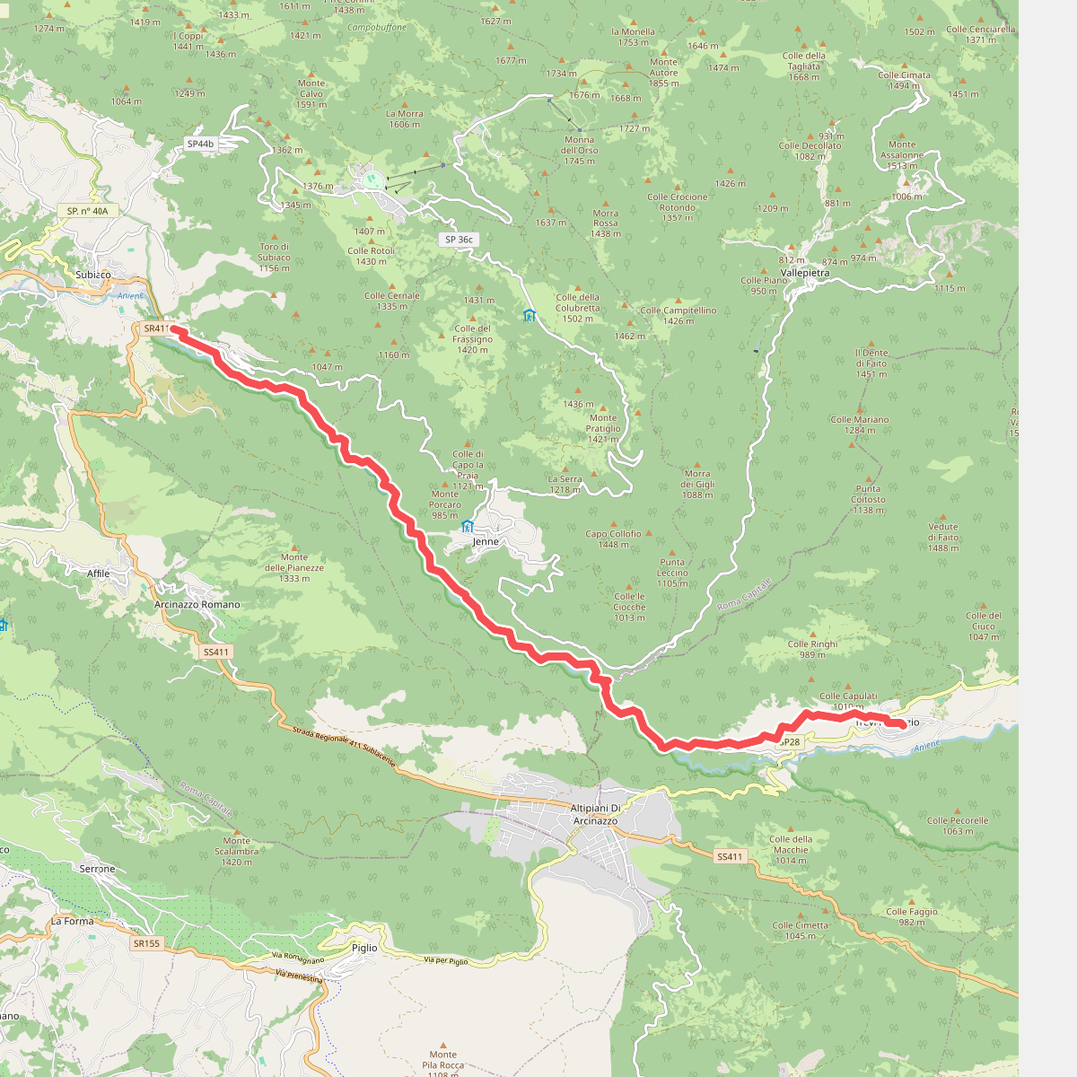
The best hiking routes in Parco Naturale Regionale dei Monti Simbruini
Discover the best walks in Parco Naturale Regionale dei Monti Simbruini. 50 routes on the map, with descriptions, photos and GPX.
Managed by Ente strumentale regionale di diritto pubblico
About Parco Naturale Regionale dei Monti Simbruini
The Parco Naturale Regionale dei Monti Simbruini offers a landscape dominated by vast beech forests and high-altitude karst plateaus. Unlike the jagged limestone peaks found further south, this area is characterized by rounded, bulky ridges and wide, grassy basins like the Campo dell'Osso and Camposecco. Walkers will notice how the limestone geology shapes the terrain underfoot, with dry, stony tracks on the ridges where rainwater immediately sinks into the ground, contrasted with damp, clay-heavy soils in the sinkholes and valley floors.
Read more
About Parco Naturale Regionale dei Monti Simbruini
The Parco Naturale Regionale dei Monti Simbruini offers a landscape dominated by vast beech forests and high-altitude karst plateaus. Unlike the jagged limestone peaks found further south, this area is characterized by rounded, bulky ridges and wide, grassy basins like the Campo dell'Osso and Camposecco. Walkers will notice how the limestone geology shapes the terrain underfoot, with dry, stony tracks on the ridges where rainwater immediately sinks into the ground, contrasted with damp, clay-heavy soils in the sinkholes and valley floors.
Read moreThe Parco Naturale Regionale dei Monti Simbruini offers a landscape dominated by vast beech forests and high-altitude karst plateaus. Unlike the jagged limestone peaks found further south, this area is characterized by rounded, bulky ridges and wide, grassy basins like the Campo dell'Osso and Camposecco. Walkers will notice how the limestone geology shapes the terrain underfoot, with dry, stony tracks on the ridges where rainwater immediately sinks into the ground, contrasted with damp, clay-heavy soils in the sinkholes and valley floors.
Walking here means navigating a mix of deep forest shade and wide-open pastures. The lower slopes are covered in dense beech woods where the ground is soft with leaf litter, while the higher plateaus present wide, stony paths exposed to the elements. You will not find dramatic gorges or permanent rushing rivers on the heights, as the water runs almost entirely underground, occasionally emerging in springs at the foot of the mountains near Subiaco.
In late May, the high meadows of Camposecco are marked by wildflowers blooming across the stony pastures, while autumn brings heavy leaf fall that can obscure the rocky paths in the beech forests. The area is popular with Roman hikers on weekends, particularly around accessible trailheads like Monte Livata, but the deeper forest tracks and the long route toward Monte Viglio offer a much quieter, more solitary walking experience.
Hiking routes in Parco Naturale Regionale dei Monti Simbruini (50)
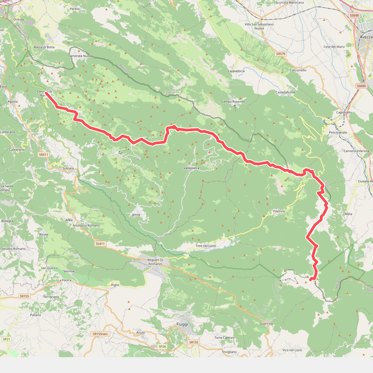
#1. Alta Via Cervara di Roma - Sella del Pozzotello
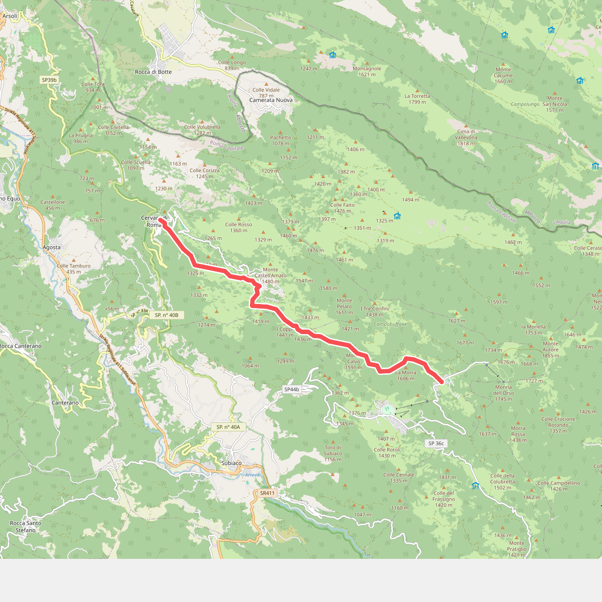
#2. Alta Via Simbruini · AV1
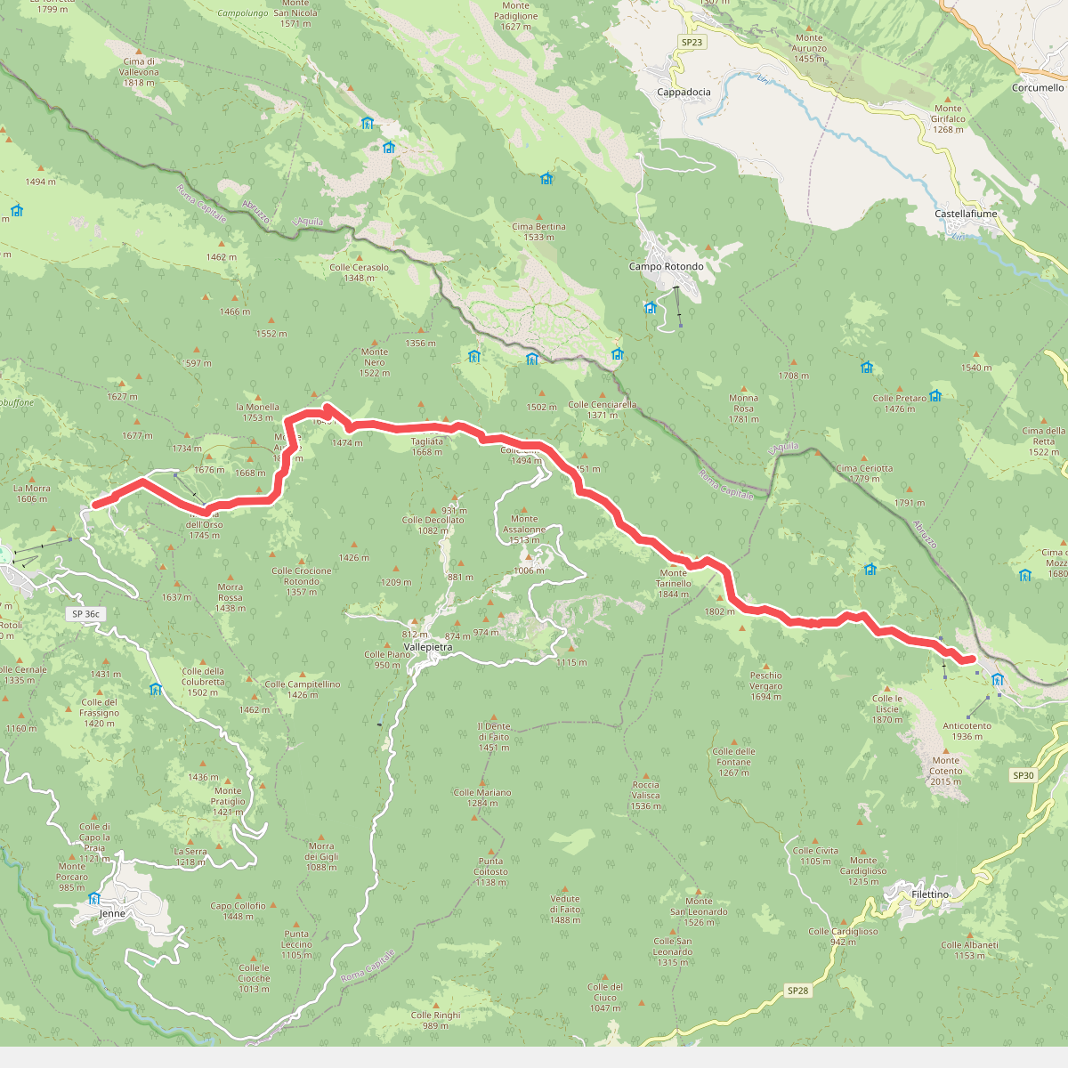
#3. Alta Via Simbruini · AV2
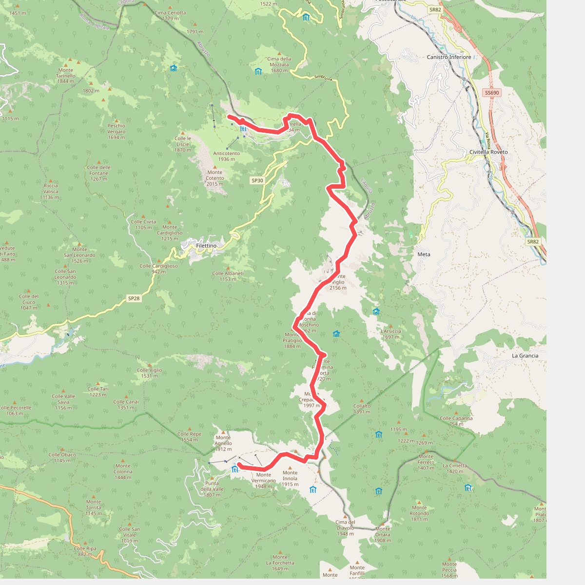
#4. Alta Via Simbruini · AV3
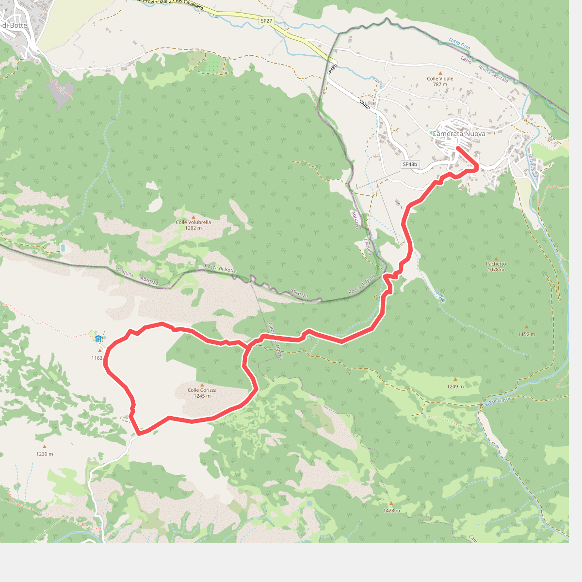
#5. Anello Camerata Nuova per Prataglia
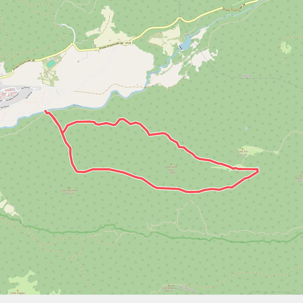
#6. Anello Ponte San Teodoro
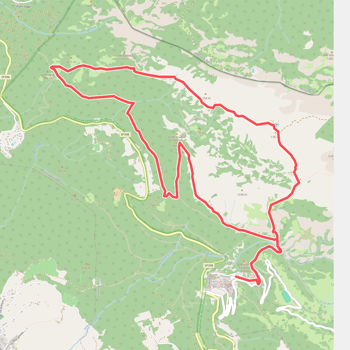
#7. Anello Prataglia da Cervara di Roma
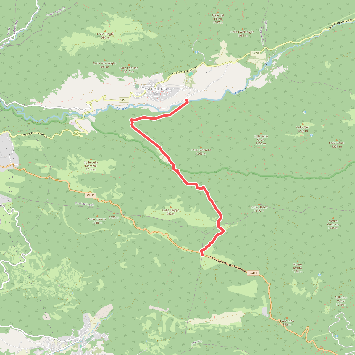
#8. Arco di Trevi - Santa Maria della Portella - Ponte di San Teodoro
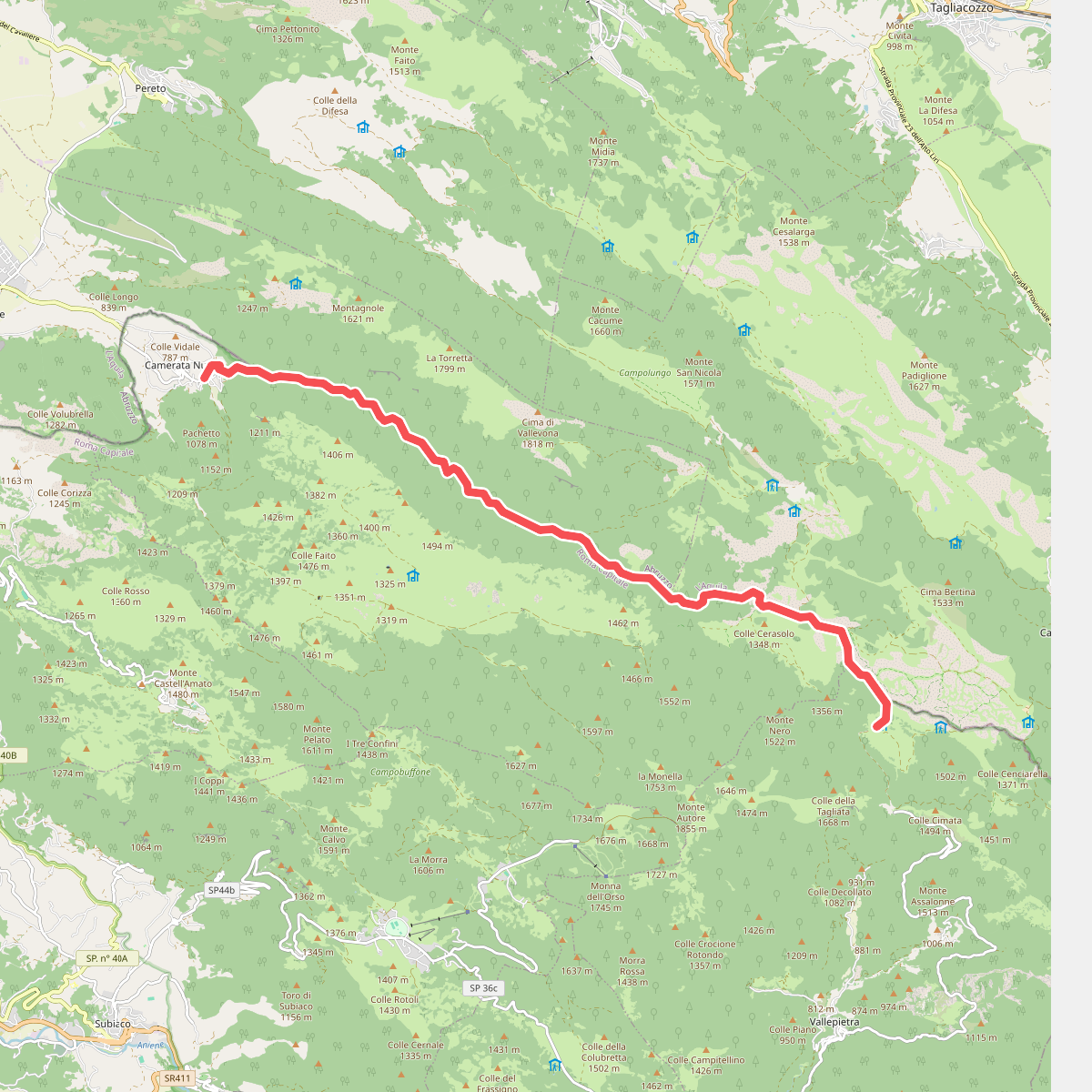
#9. Camerata Nuova-Rifugio S.A.I.F.A.R. (Campo della Pietra)
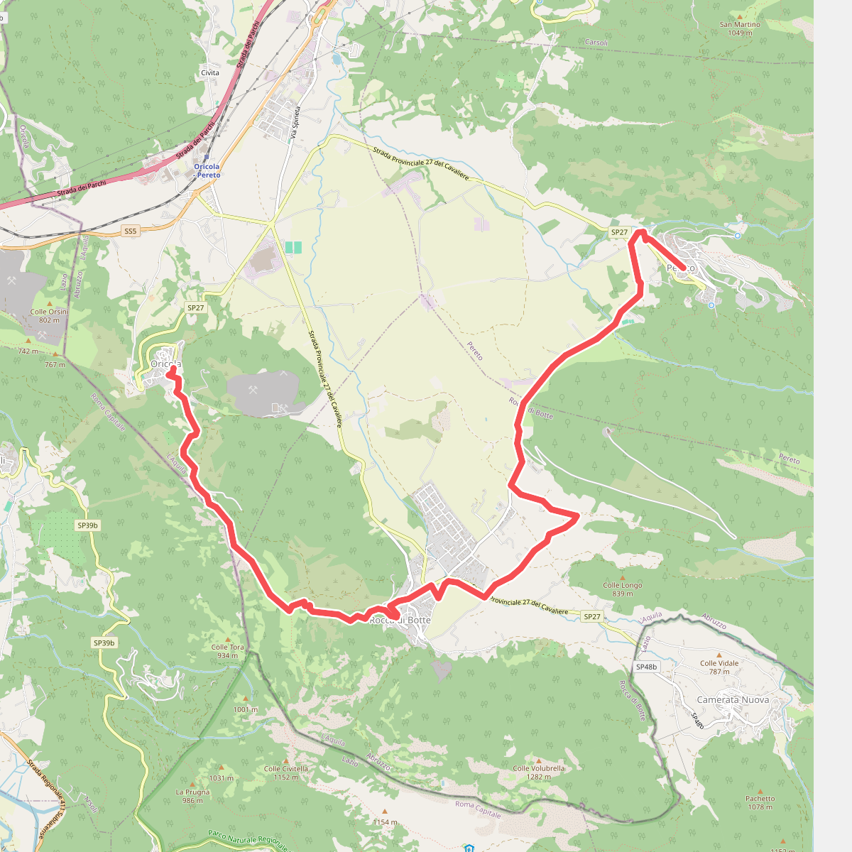
#10. Cammino del Cavaliere - Tappa 4
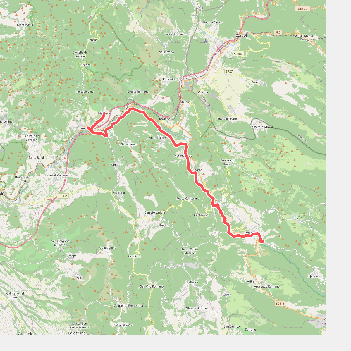
#11. Cammino di San Benedetto - Tappa 10