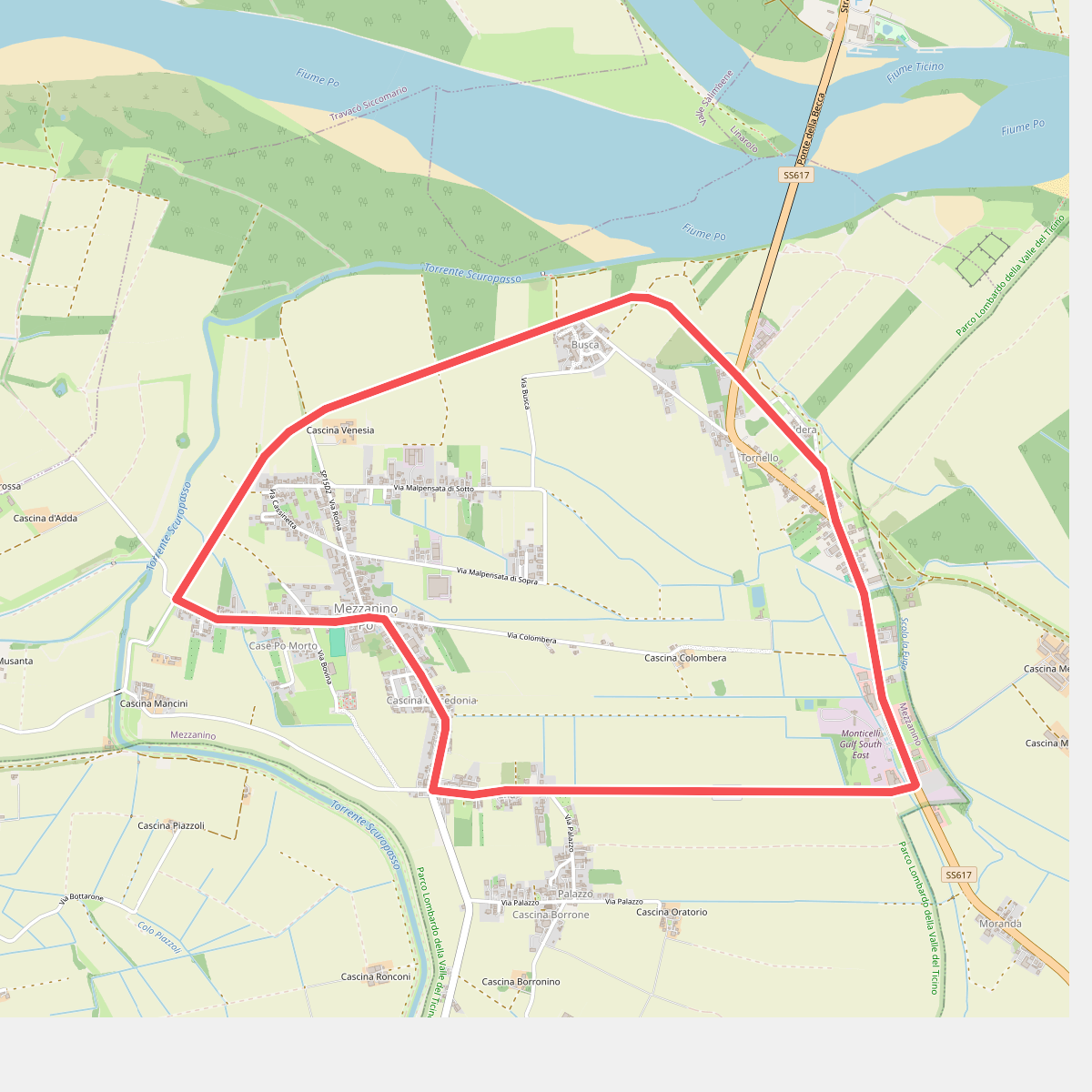
The best hiking routes in Parco Lombardo della Valle del Ticino
Discover the best walks in Parco Lombardo della Valle del Ticino. 55 routes on the map, with descriptions, photos and GPX.
Managed by Ente Parco Lombardo della Valle del Ticino
About Parco Lombardo della Valle del Ticino
Parco Lombardo della Valle del Ticino protects the green corridor along the Ticino River as it flows from Lake Maggiore toward the Po River. Unlike the high peaks of the nearby Alps, this landscape is flat and defined by water. Walkers will find a shifting mosaic of river gravel, dense riparian woodlands of oak and hornbeam, and agricultural fields. The terrain is shaped by the river's historical shifts, leaving behind oxbow lakes, secondary channels, and marshy depressions that contrast sharply with the drier, sandy terraces just a short distance from the water.
Read more
About Parco Lombardo della Valle del Ticino
Parco Lombardo della Valle del Ticino protects the green corridor along the Ticino River as it flows from Lake Maggiore toward the Po River. Unlike the high peaks of the nearby Alps, this landscape is flat and defined by water. Walkers will find a shifting mosaic of river gravel, dense riparian woodlands of oak and hornbeam, and agricultural fields. The terrain is shaped by the river's historical shifts, leaving behind oxbow lakes, secondary channels, and marshy depressions that contrast sharply with the drier, sandy terraces just a short distance from the water.
Read moreParco Lombardo della Valle del Ticino protects the green corridor along the Ticino River as it flows from Lake Maggiore toward the Po River. Unlike the high peaks of the nearby Alps, this landscape is flat and defined by water. Walkers will find a shifting mosaic of river gravel, dense riparian woodlands of oak and hornbeam, and agricultural fields. The terrain is shaped by the river's historical shifts, leaving behind oxbow lakes, secondary channels, and marshy depressions that contrast sharply with the drier, sandy terraces just a short distance from the water.
Underfoot, the paths vary from soft, silty earth near the riverbanks to firm gravel tracks and paved agricultural lanes. In the wetter zones, wooden footbridges help cross smaller streams, though some low-lying paths can be muddy. The vegetation changes noticeably as you move away from the river, transitioning from willow thickets to dry heathlands and pine woods on the upper terraces. This transition is especially clear in autumn, when the deciduous trees turn deep yellow and red against the dark green of the pines.
This is a working landscape where nature coexists with ancient canals, watermills, and active farms. The paths near popular access points and historic bridges can be busy with local walkers and cyclists, while the narrow tracks through the dense woodland offer a quieter experience. It is a place to observe how water management has shaped the Lombard plains, rather than a wilderness of untouched forests.
Hiking routes in Parco Lombardo della Valle del Ticino (55)
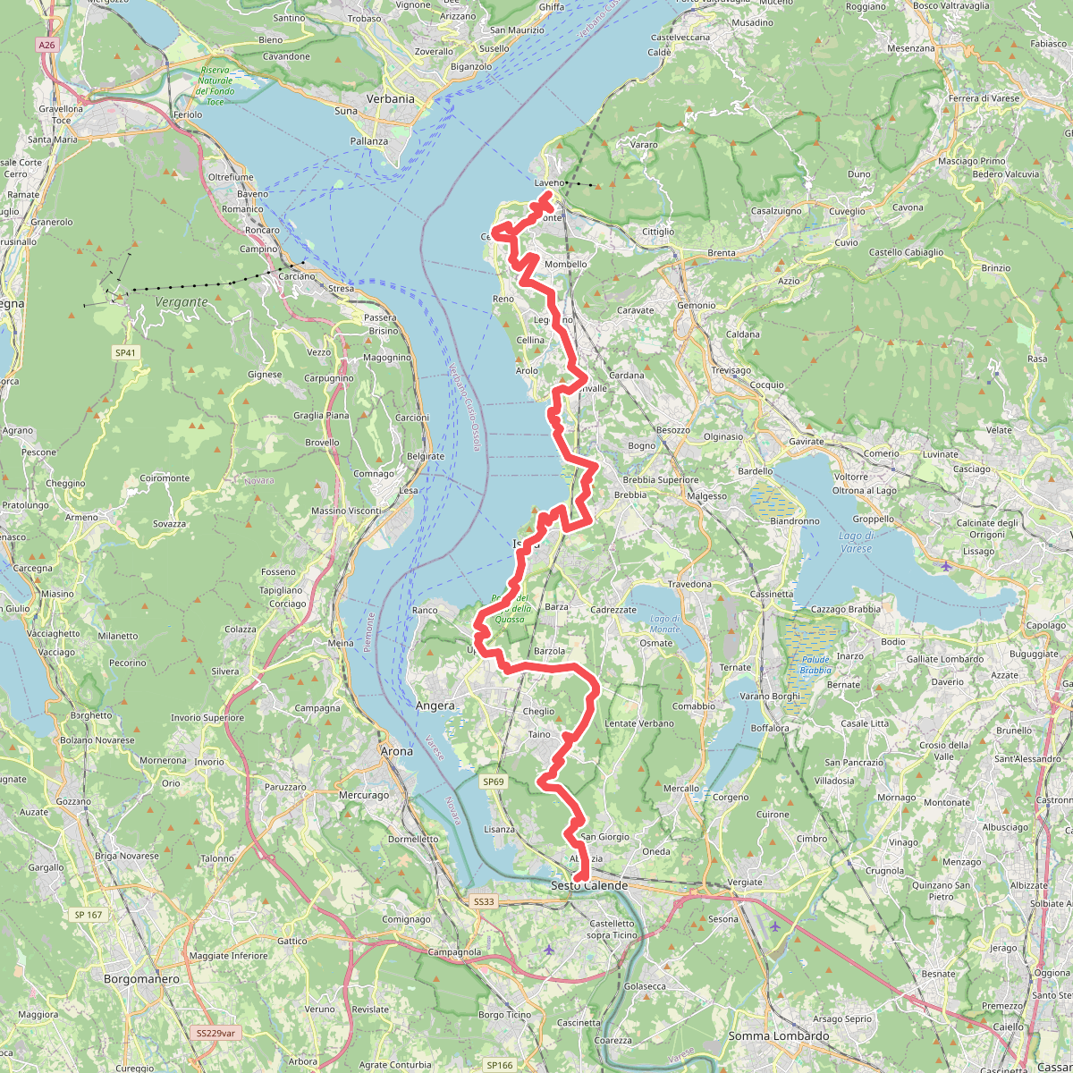
#1. 289 Dorsale del Verbano - Agenda21Laghi
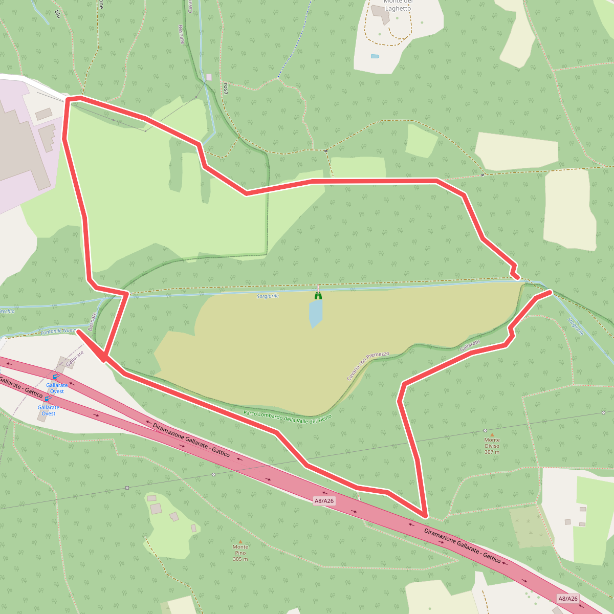
#2. Anello dei Fontanili
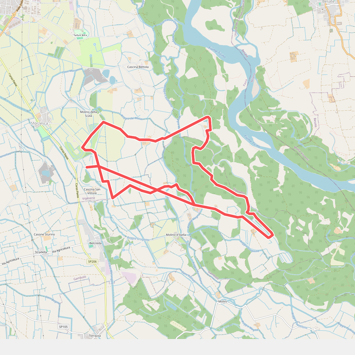
#3. Anello dei Ronchi
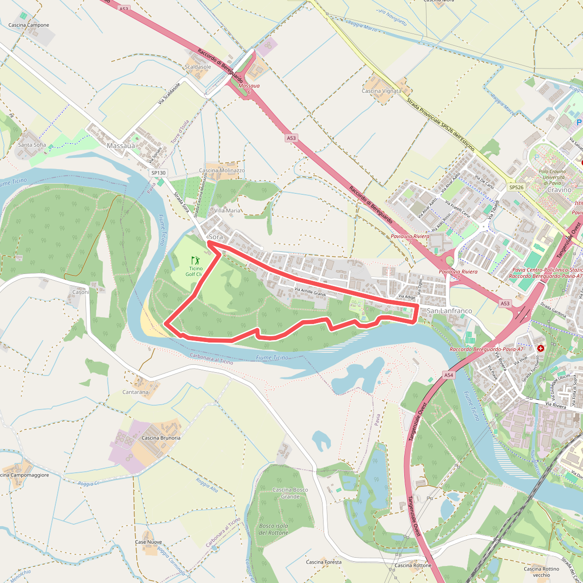
#4. Anello della Sora
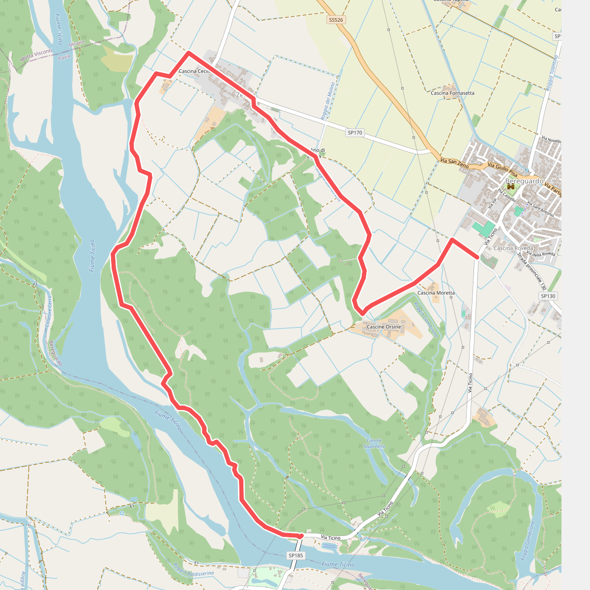
#5. Anello della Zelata
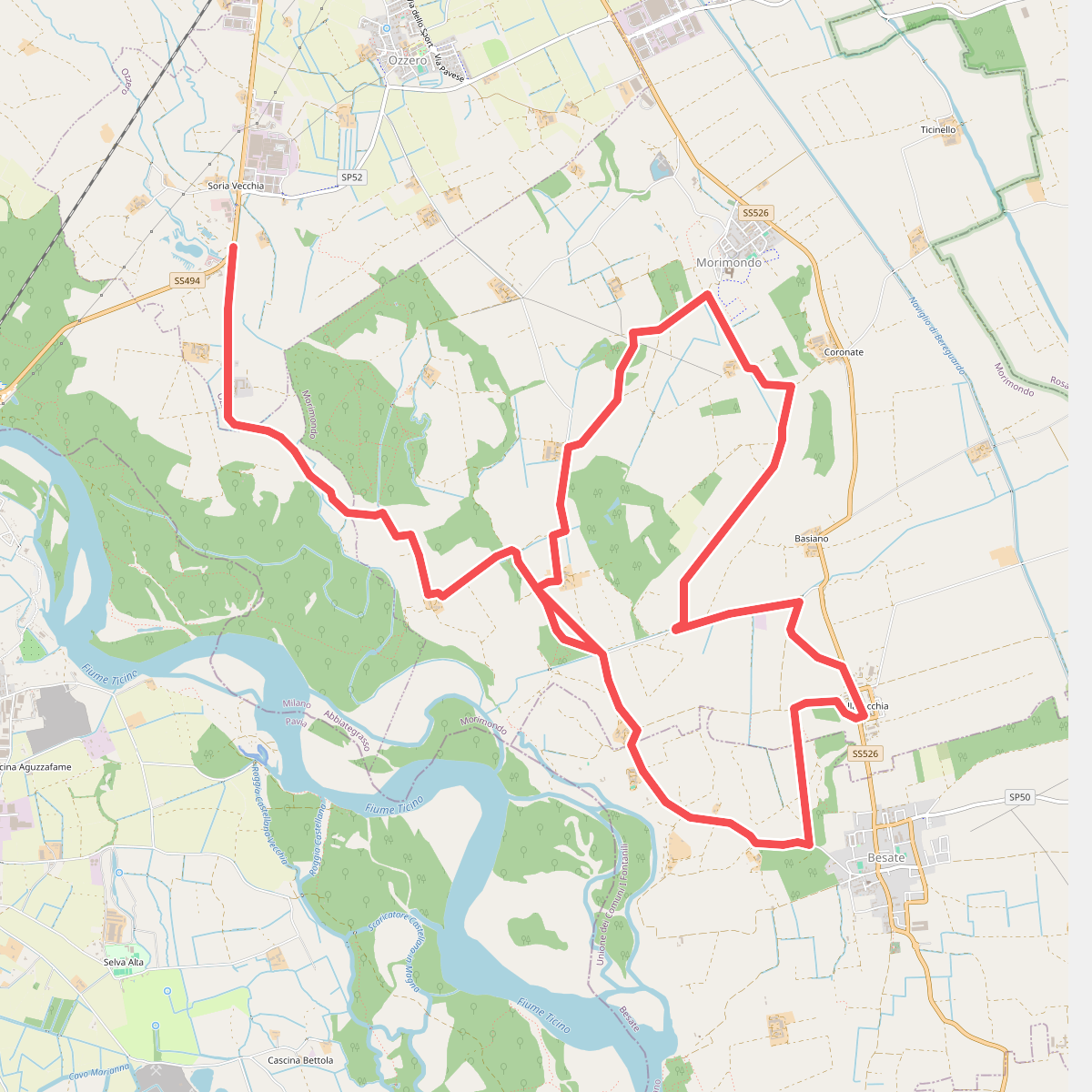
#6. Anello dell'Abbazia
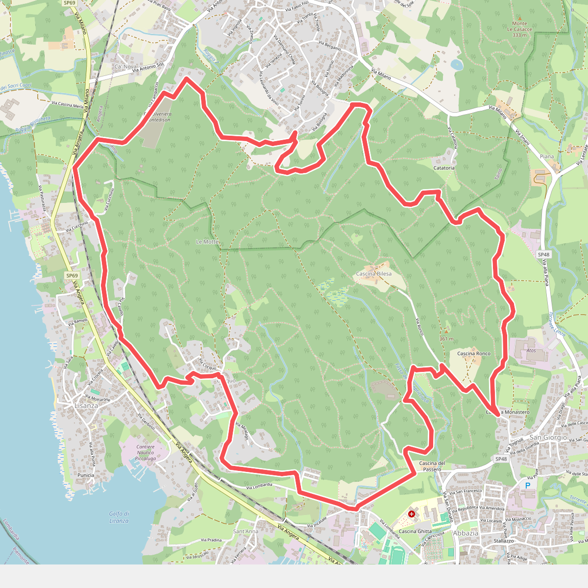
#7. Anello delle castagne
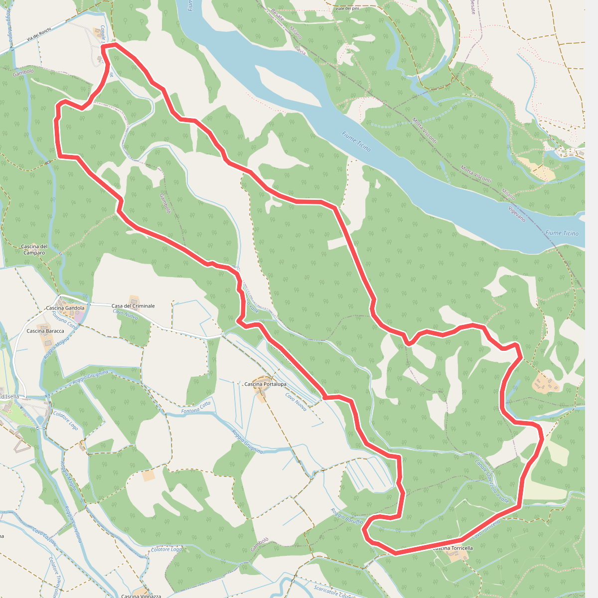
#8. Anello delle farfalle
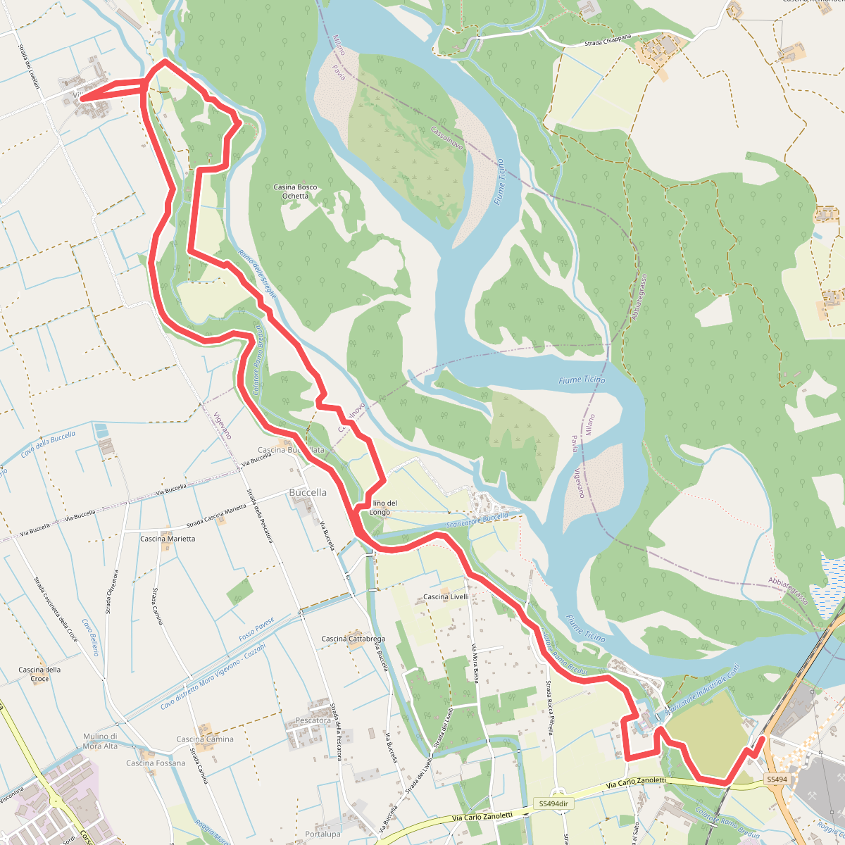
#9. Anello delle Streghe
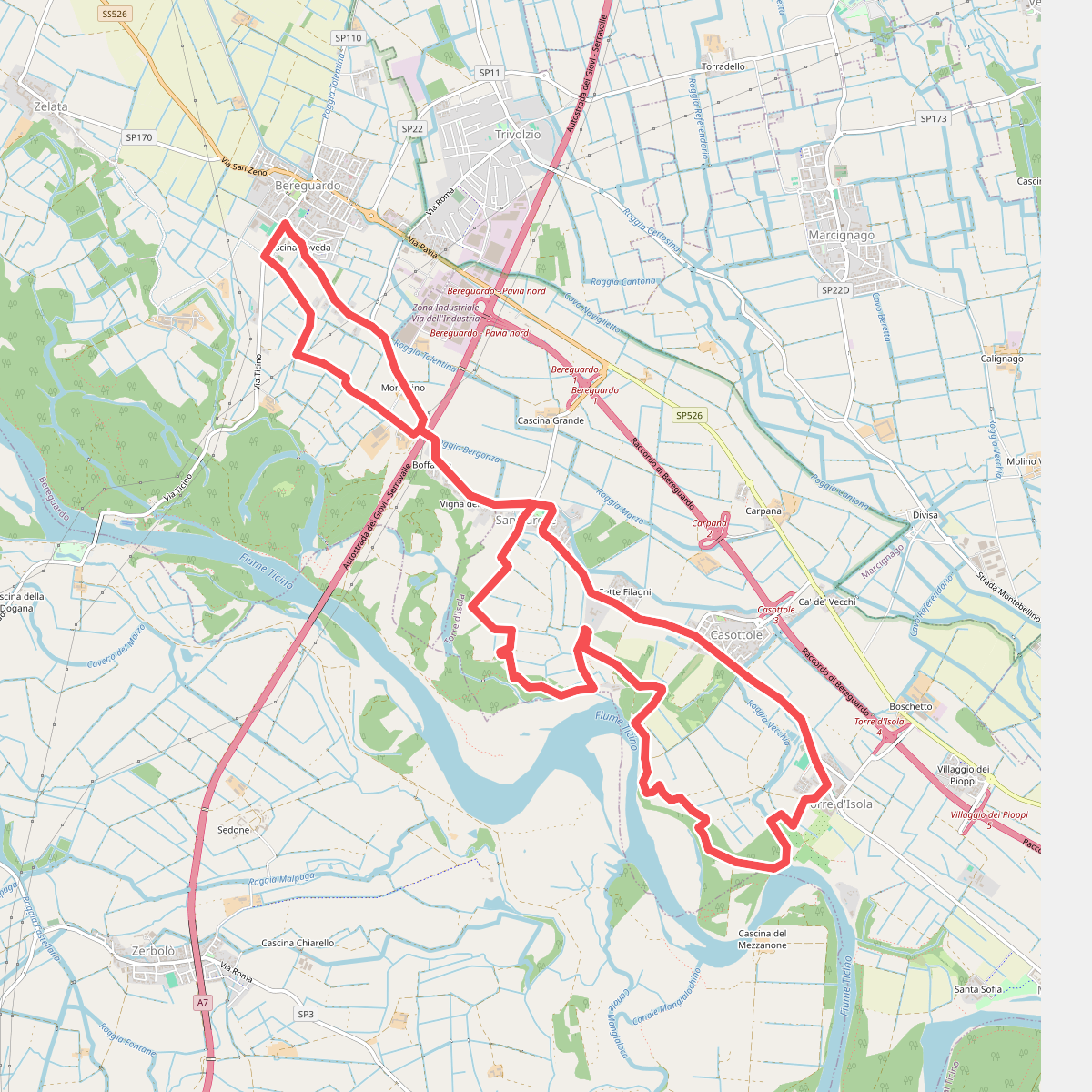
#10. Anello di Bereguardo
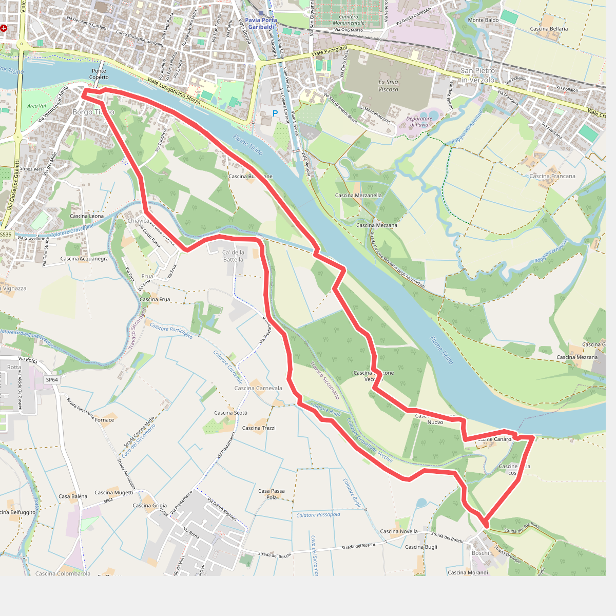
#11. Anello di Borgoticino