The best hiking routes in Parco fluviale Po e Orba (parte)
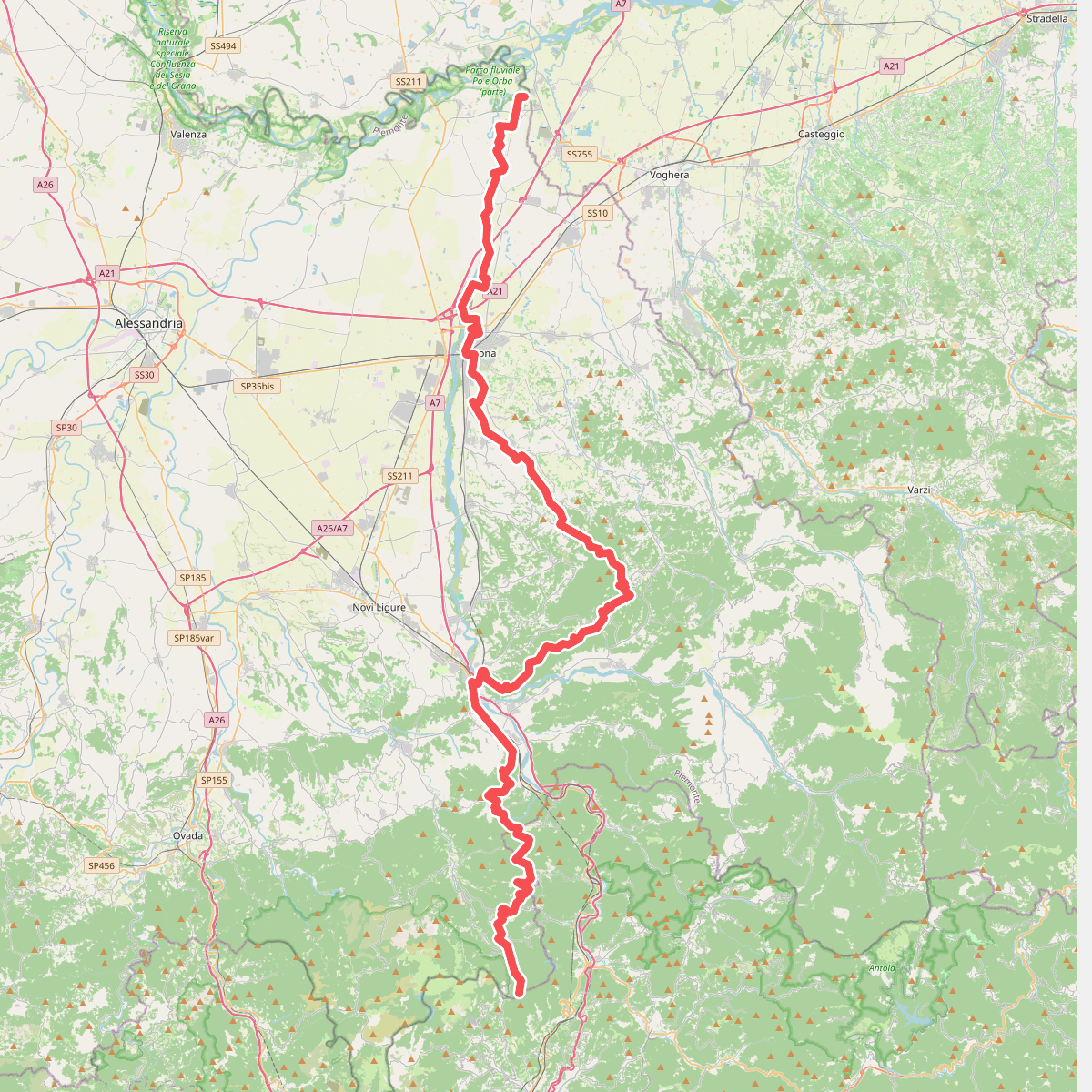
Discover the best walks in Parco fluviale Po e Orba (parte). 1 routes on the map, with descriptions, photos and GPX.
Managed by Prov. Alexandria/Torino/Vercelli
About Parco fluviale Po e Orba (parte)
The Parco fluviale Po e Orba (parte) covers a dynamic river corridor where the Po and Orba rivers shape a flat, shifting landscape of gravel beds, alluvial woodlands, and agricultural edges. Unlike the steep hills nearby, this reserve is defined by its low-lying riverbanks, oxbow lakes, and wide gravel beaches. Walkers will find a stark contrast between the dense willow and poplar woods that line the water and the open, stony shores that are exposed when water levels are low.
Read more
About Parco fluviale Po e Orba (parte)
The Parco fluviale Po e Orba (parte) covers a dynamic river corridor where the Po and Orba rivers shape a flat, shifting landscape of gravel beds, alluvial woodlands, and agricultural edges. Unlike the steep hills nearby, this reserve is defined by its low-lying riverbanks, oxbow lakes, and wide gravel beaches. Walkers will find a stark contrast between the dense willow and poplar woods that line the water and the open, stony shores that are exposed when water levels are low.
Read moreThe Parco fluviale Po e Orba (parte) covers a dynamic river corridor where the Po and Orba rivers shape a flat, shifting landscape of gravel beds, alluvial woodlands, and agricultural edges. Unlike the steep hills nearby, this reserve is defined by its low-lying riverbanks, oxbow lakes, and wide gravel beaches. Walkers will find a stark contrast between the dense willow and poplar woods that line the water and the open, stony shores that are exposed when water levels are low.
Underfoot, the terrain consists mostly of loose gravel, sandy river deposits, and dirt tracks that can become muddy near the water's edge. There are no paved promenades or boardwalks here; the paths are simple, natural trails shaped by seasonal floods. Navigation relies on following these rough tracks through the riparian forest or along the wide stony banks where the rivers meet.
In late spring, around May, the gravel banks are colonised by pioneering plants and nesting birds, making the active riverbed the focal point of the landscape. This area is not a place for panoramic mountain vistas or deep forest hiking, but rather a flat, open river environment where you can observe how moving water constantly reshapes the gravel and soil underfoot.