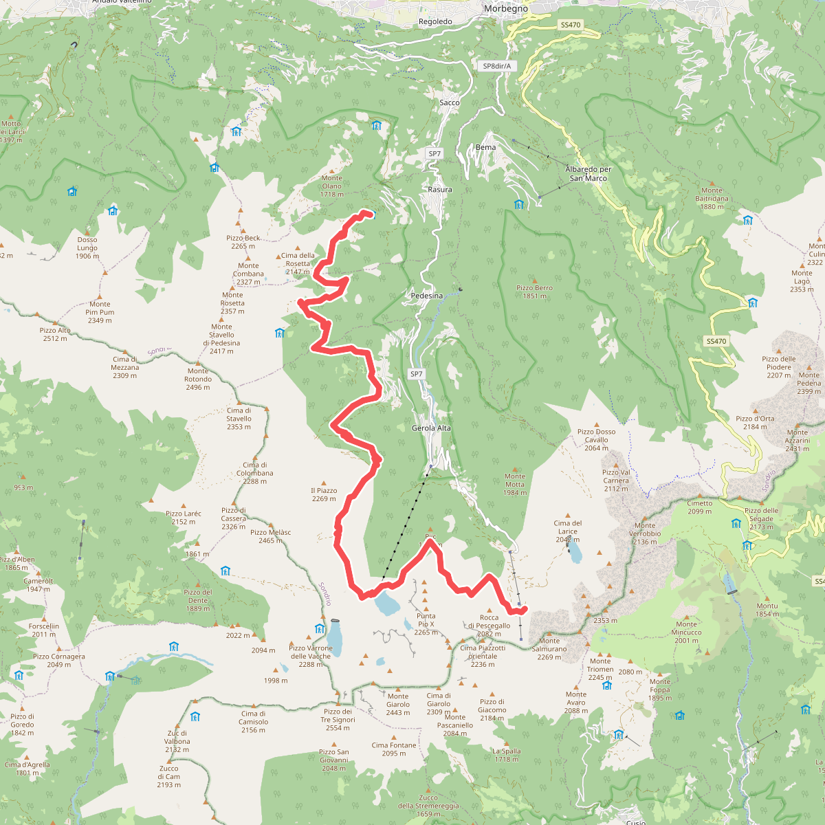
The best hiking routes in Parco delle Orobie Valtellinesi
Discover the best walks in Parco delle Orobie Valtellinesi. 54 routes on the map, with descriptions, photos and GPX.
Managed by Regione Lombardia
About Parco delle Orobie Valtellinesi
The Parco delle Orobie Valtellinesi covers the northern slopes of the Orobie Alps, rising steeply from the Adda river valley. Unlike the limestone crags of the southern side of the range, this northern slope is dominated by dark, acidic metamorphic rock like gneiss and mica schist. This geology shapes a dense, humid landscape of deep coniferous forests, dominated by spruce and larch, which eventually open up into high alpine pastures and scree slopes at higher elevations.
Read more
About Parco delle Orobie Valtellinesi
The Parco delle Orobie Valtellinesi covers the northern slopes of the Orobie Alps, rising steeply from the Adda river valley. Unlike the limestone crags of the southern side of the range, this northern slope is dominated by dark, acidic metamorphic rock like gneiss and mica schist. This geology shapes a dense, humid landscape of deep coniferous forests, dominated by spruce and larch, which eventually open up into high alpine pastures and scree slopes at higher elevations.
Read moreThe Parco delle Orobie Valtellinesi covers the northern slopes of the Orobie Alps, rising steeply from the Adda river valley. Unlike the limestone crags of the southern side of the range, this northern slope is dominated by dark, acidic metamorphic rock like gneiss and mica schist. This geology shapes a dense, humid landscape of deep coniferous forests, dominated by spruce and larch, which eventually open up into high alpine pastures and scree slopes at higher elevations.
Walkers will find a stark contrast between the lower valley floors and the high-altitude trails. The lower paths often follow historic stone-paved mule tracks, known as mulattiere, which can be damp and moss-covered under the thick forest canopy. As you climb above the tree line, the terrain transitions to rough, rocky singletracks and boulder fields where the path is marked by red-and-white paint on the rock surfaces rather than a clear physical depression in the ground.
This park is characterized by its steepness and northern exposure, meaning many valleys remain shaded and cool until late spring, with snow patches persisting on high passes into June. It is a demanding landscape where flat walking is rare, making it best suited for those who prefer steady, vertical ascents through changing vegetation zones rather than gentle, rolling strolls.
Hiking routes in Parco delle Orobie Valtellinesi (54)
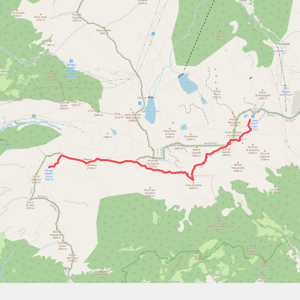
#1. 101 - Tappa 4
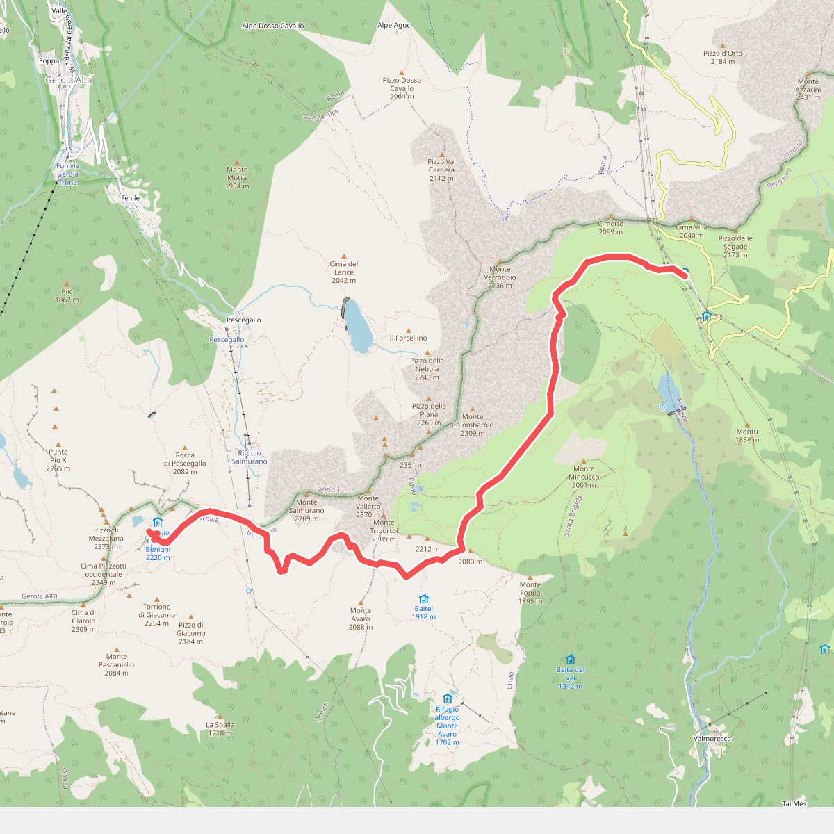
#2. 101 - Tappa 5
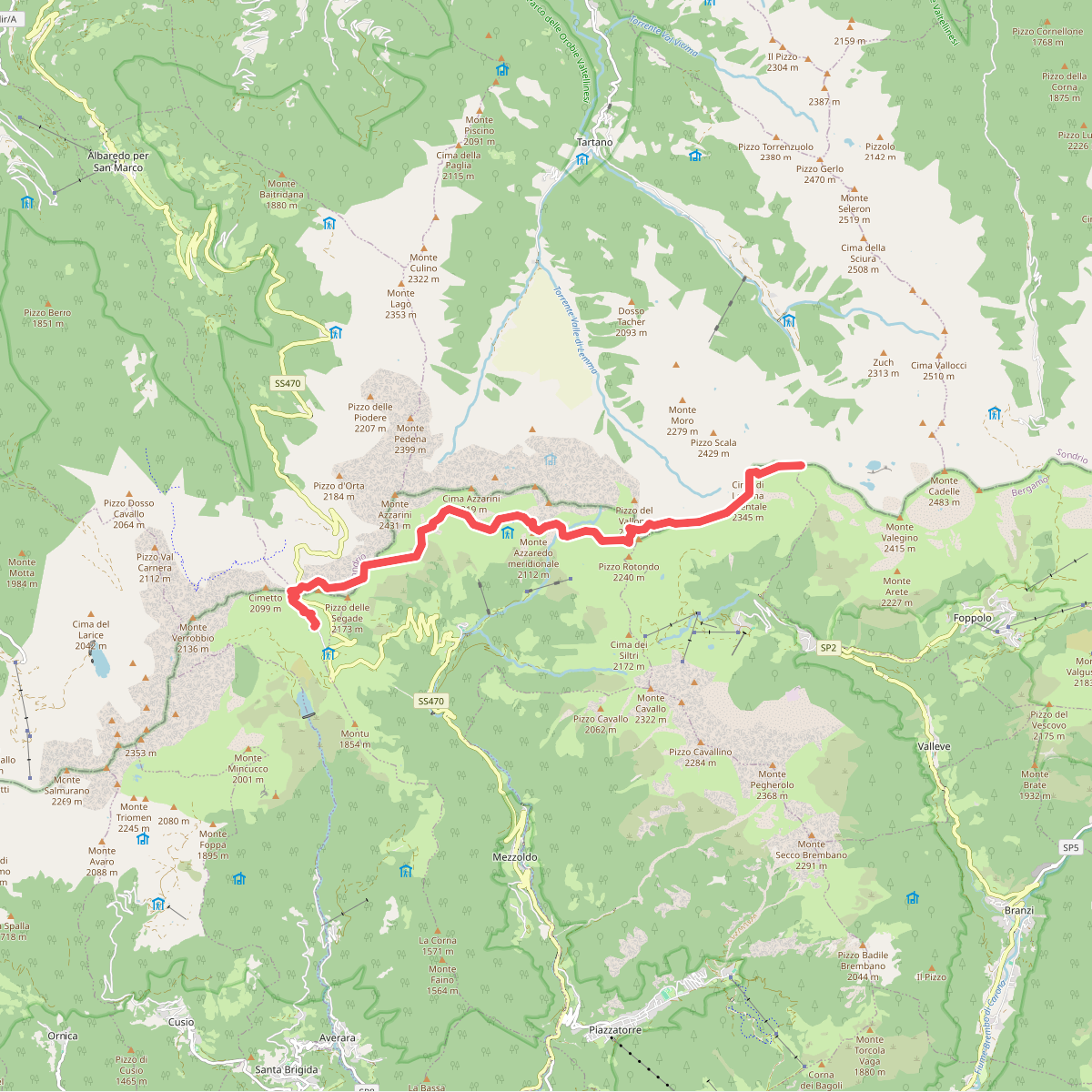
#3. 101 - Tappa 6
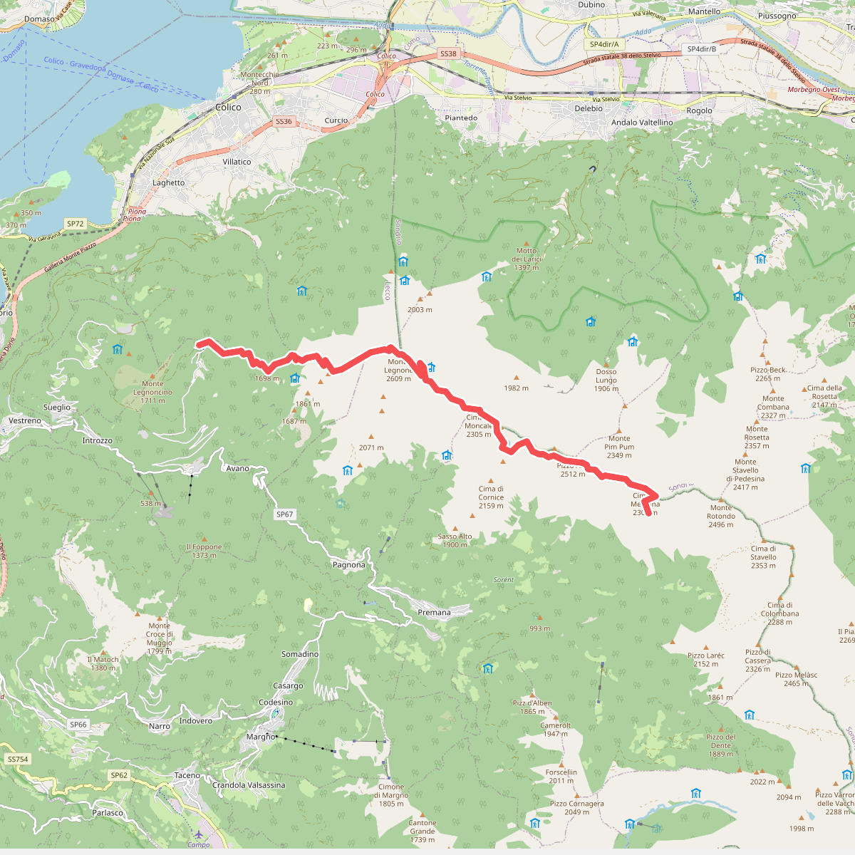
#4. Alta Via della Valsassina - Tappa 1
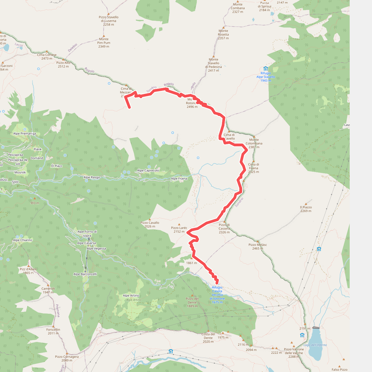
#5. Alta Via della Valsassina - Tappa 2
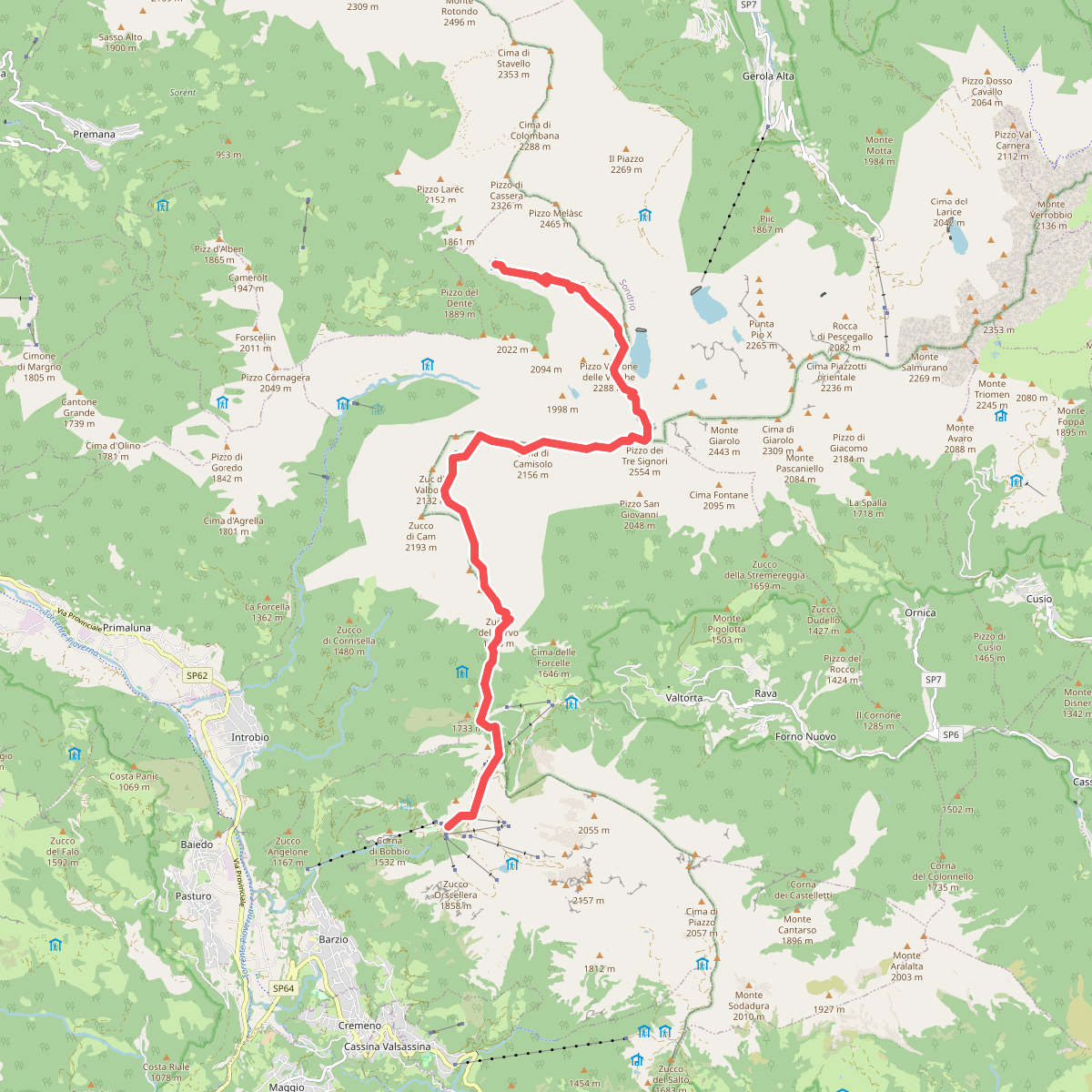
#6. Alta Via della Valsassina - Tappa 3
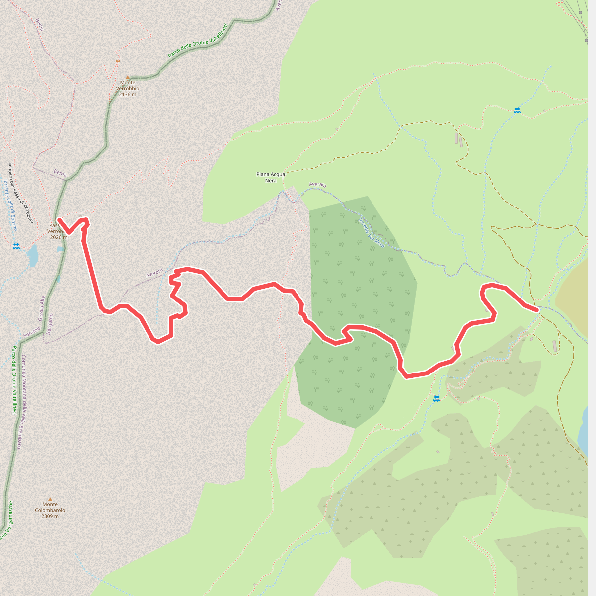
#7. Alta Via Mercatorum
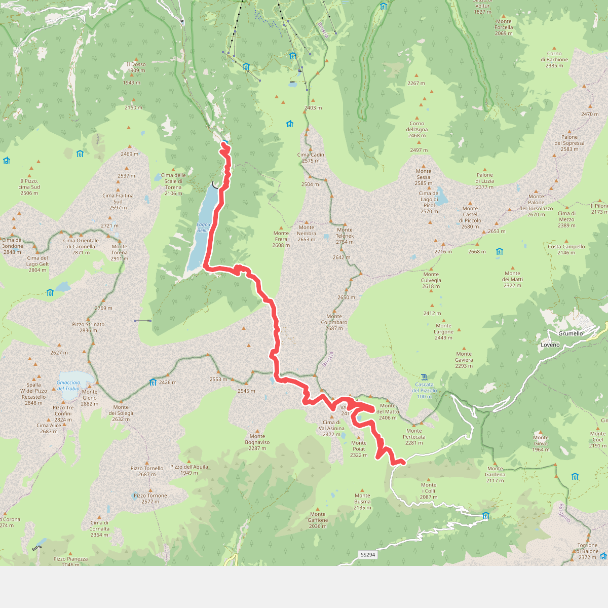
#8. CamminaForeste - Tappa 4E
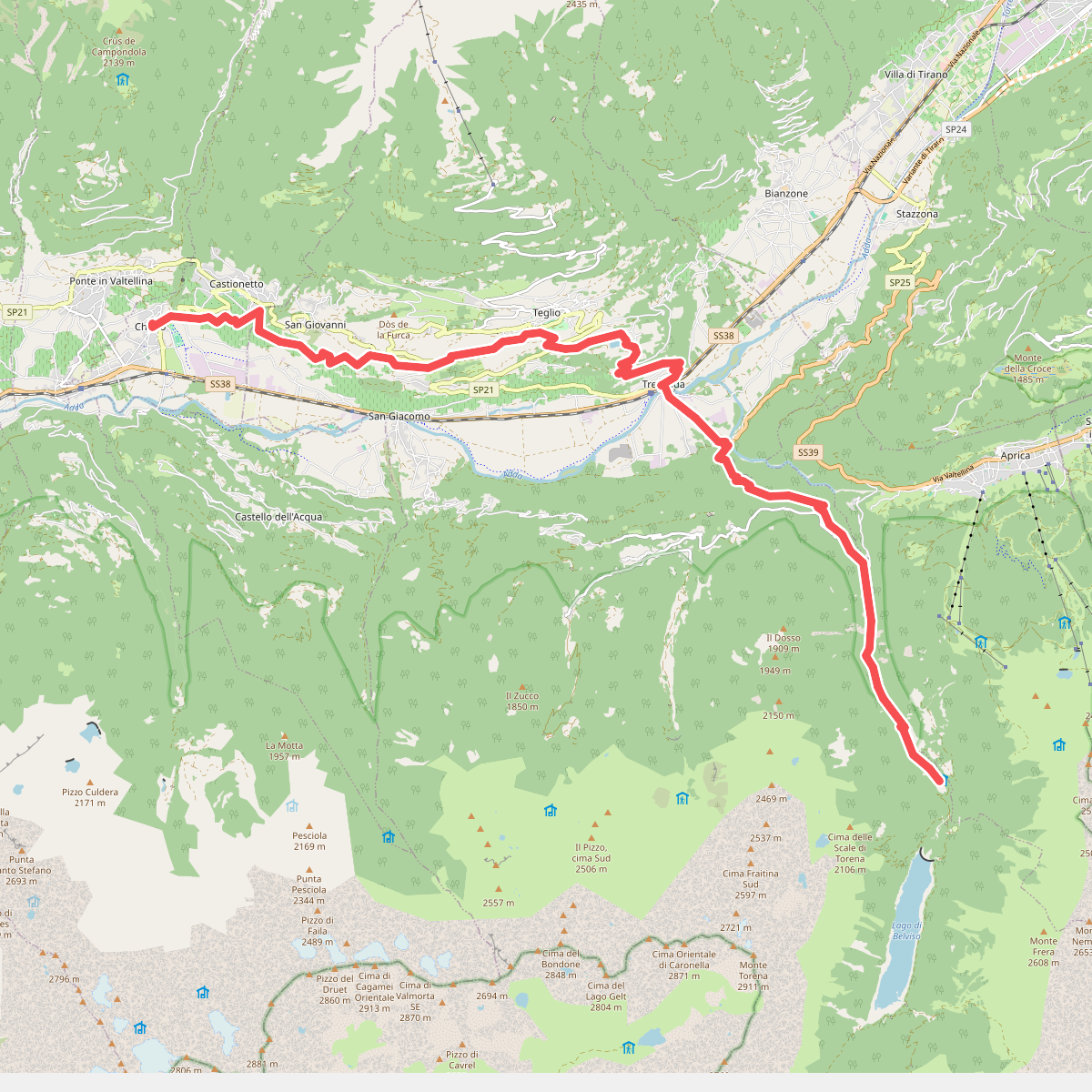
#9. CamminaForeste - Tappa 5A
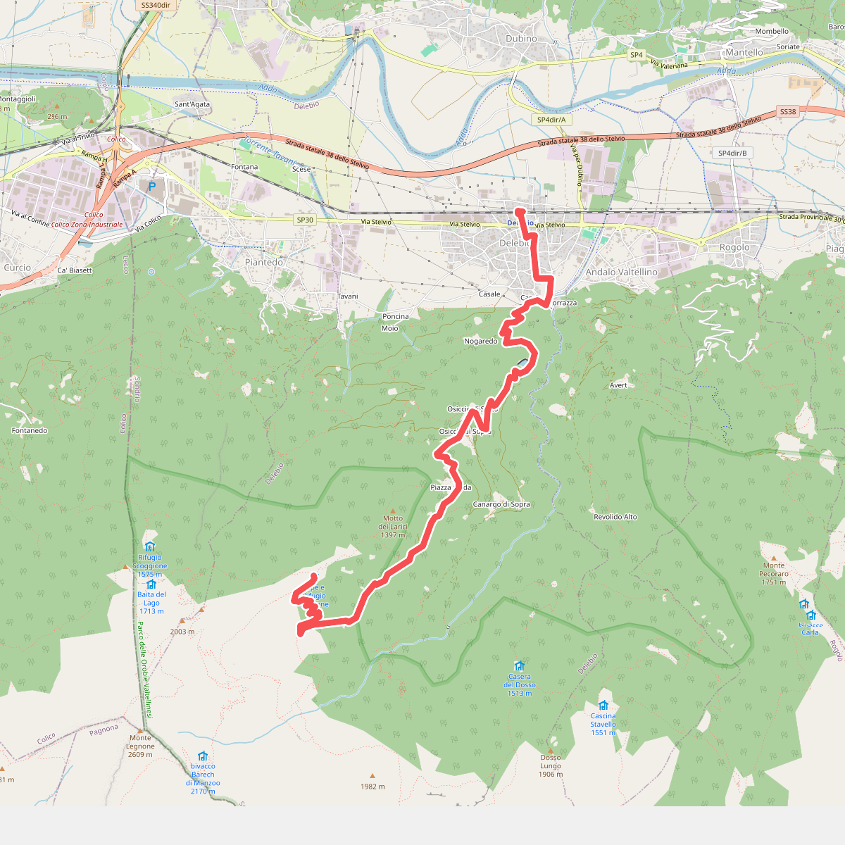
#10. CamminaForeste - Tappa 6A
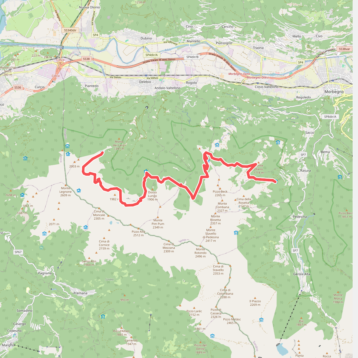
#11. CamminaForeste - Tappa 6B