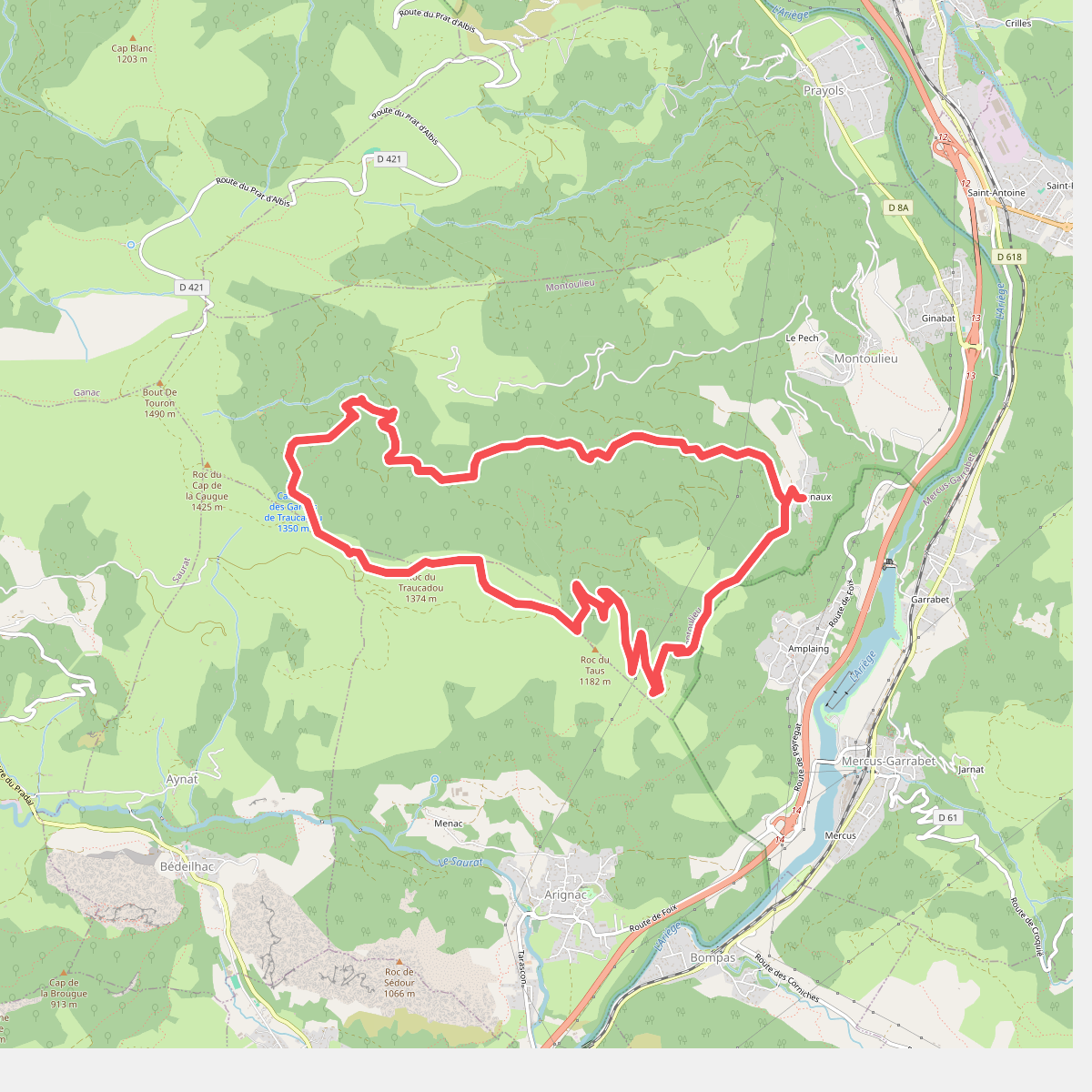
The best hiking routes in Parc naturel régional des Pyrénées ariégeoises
Discover the best walks in Parc naturel régional des Pyrénées ariégeoises. 87 routes on the map, with descriptions, photos and GPX.
About Parc naturel régional des Pyrénées ariégeoises
The Parc naturel régional des Pyrénées ariégeoises offers a transition from gentle, green foothills to steep, rocky mountain terrain. Unlike the flatter, drier plains to the north, this park is defined by its deep, forested valleys, rushing torrents, and limestone ridges. Walkers will notice a distinct change in vegetation as they ascend, moving from beech and oak woodlands on the lower slopes to high-altitude summer pastures, known as estives, where livestock graze from June to September. Underfoot, the paths vary from soft forest loam and leafy tracks to rugged, stony trails and loose scree near the ridges.
Read more
About Parc naturel régional des Pyrénées ariégeoises
The Parc naturel régional des Pyrénées ariégeoises offers a transition from gentle, green foothills to steep, rocky mountain terrain. Unlike the flatter, drier plains to the north, this park is defined by its deep, forested valleys, rushing torrents, and limestone ridges. Walkers will notice a distinct change in vegetation as they ascend, moving from beech and oak woodlands on the lower slopes to high-altitude summer pastures, known as estives, where livestock graze from June to September. Underfoot, the paths vary from soft forest loam and leafy tracks to rugged, stony trails and loose scree near the ridges.
Read moreThe Parc naturel régional des Pyrénées ariégeoises offers a transition from gentle, green foothills to steep, rocky mountain terrain. Unlike the flatter, drier plains to the north, this park is defined by its deep, forested valleys, rushing torrents, and limestone ridges. Walkers will notice a distinct change in vegetation as they ascend, moving from beech and oak woodlands on the lower slopes to high-altitude summer pastures, known as estives, where livestock graze from June to September. Underfoot, the paths vary from soft forest loam and leafy tracks to rugged, stony trails and loose scree near the ridges.
Water is a constant presence on these routes. The limestone geology has created a labyrinth of underground networks, meaning you will often walk past deep sinkholes, cave entrances, and sudden springs emerging directly from the rock. In the higher zones, the terrain becomes more exposed, with granite boulders replacing the limestone and alpine meadows taking over the landscape. The paths here require careful footwork over uneven rocks and steep gradients, contrasting sharply with the gentler, wider agricultural tracks found in the valleys below.
This park is not a place of manicured trails or extensive boardwalks. It remains a working pastoral landscape where hikers share the terrain with local herders and their dogs. While well-known routes near the easily accessible valleys can see regular foot traffic, the higher, more remote passes offer a quieter, more demanding mountain experience where navigation skills are essential.
Hiking routes in Parc naturel régional des Pyrénées ariégeoises (87)
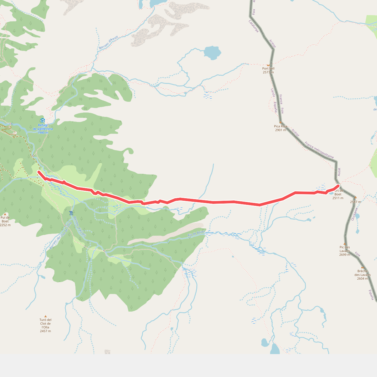
#1. Àrea d'esbarjo de Boet al Port de Boet
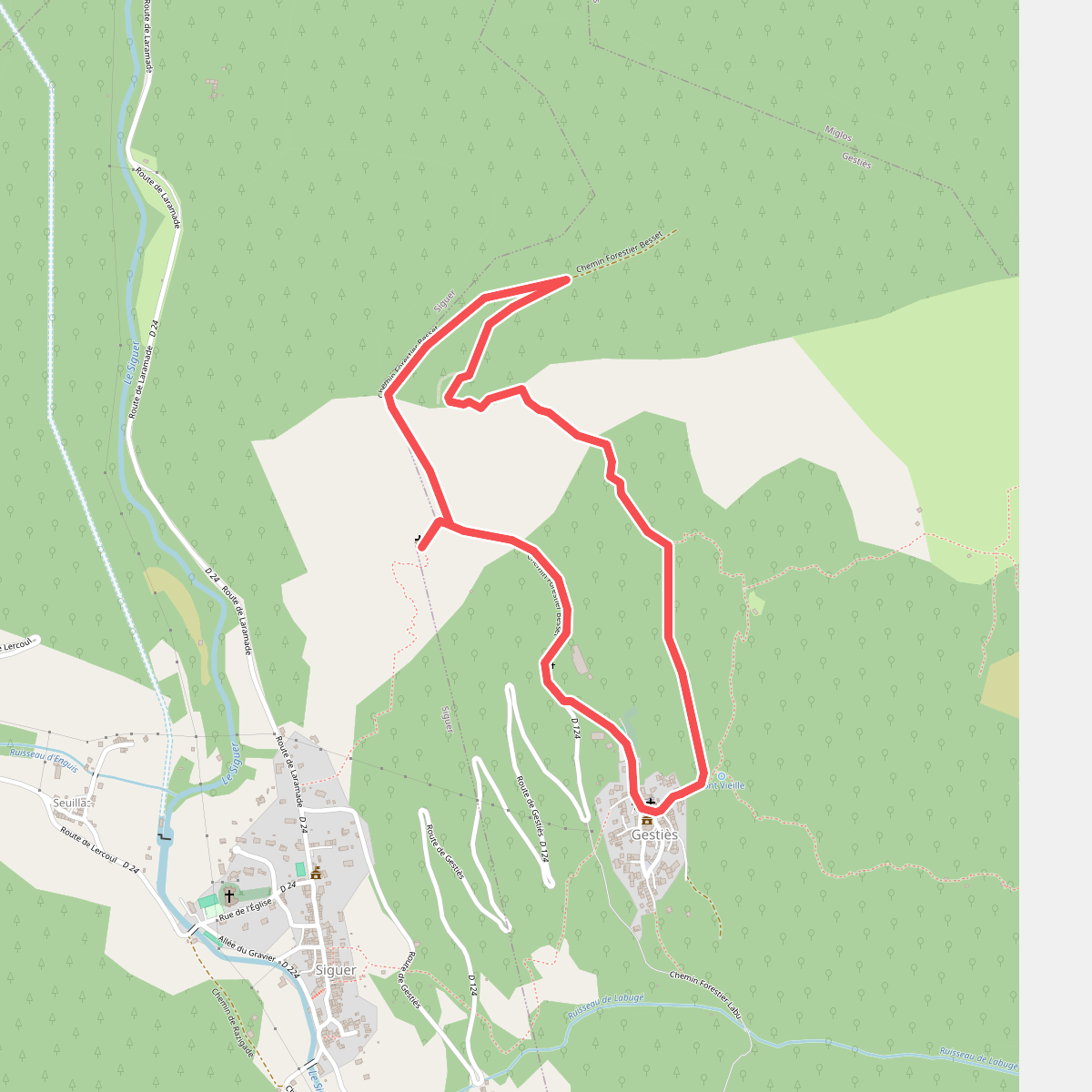
#2. Boucle de la Chapelle
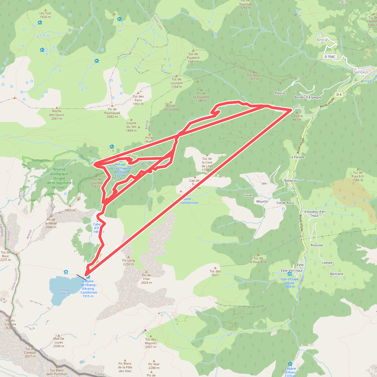
#3. Boucle de la chapelle de l'isard
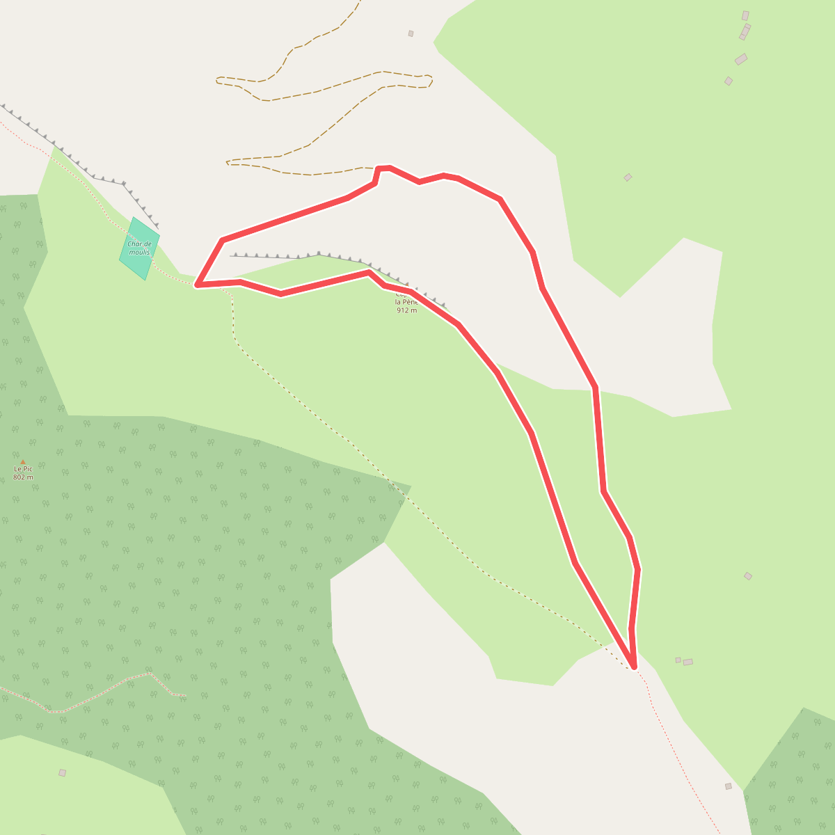
#4. Boucle du Pic de la Pène
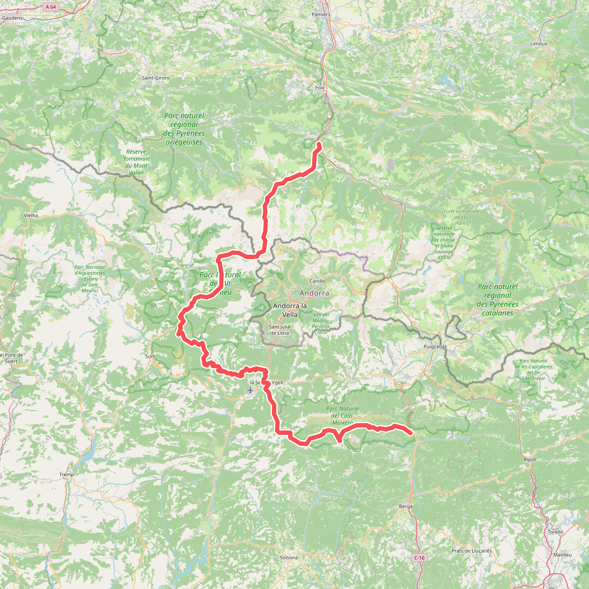
#5. Camí de l'Últim Càtar
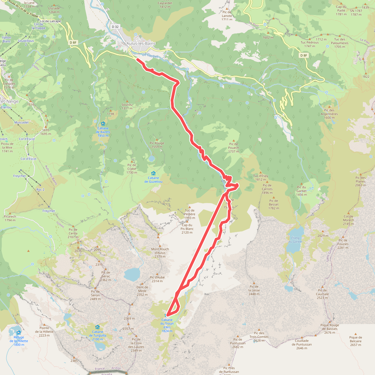
#6. Cascade d'Ars
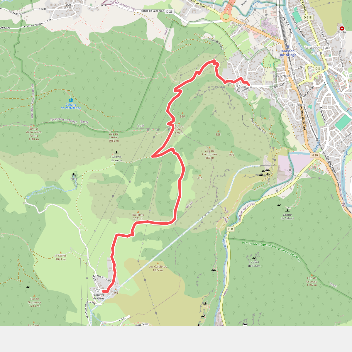
#7. Chemin de Génat
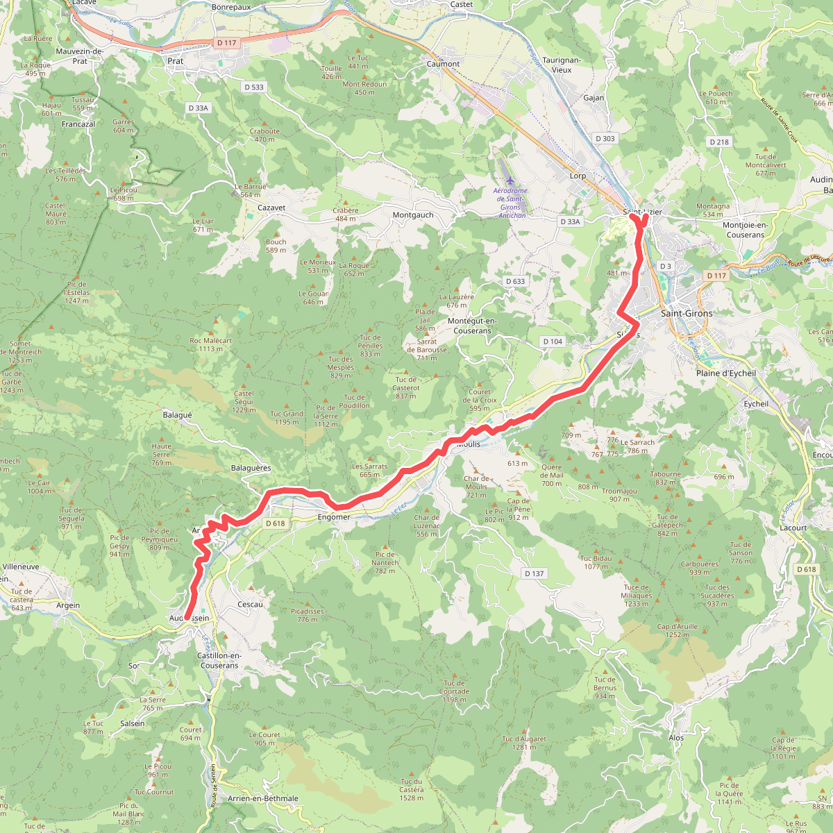
#8. Chemin du Piémont Pyrénéen
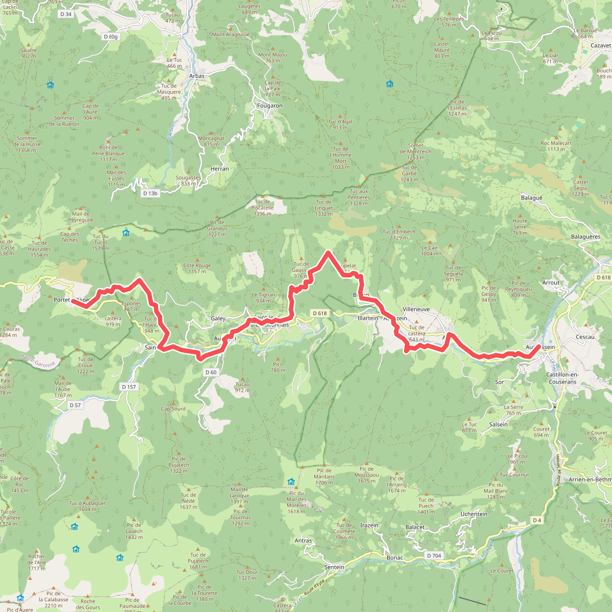
#9. Chemin du Piémont Pyrénéen
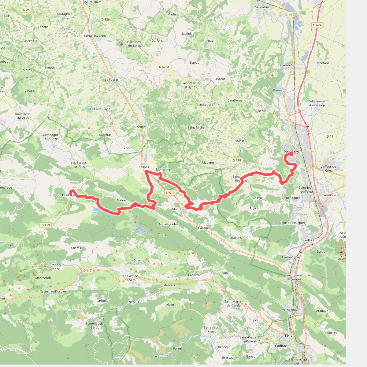
#10. Chemin du Piémont Pyrénéen
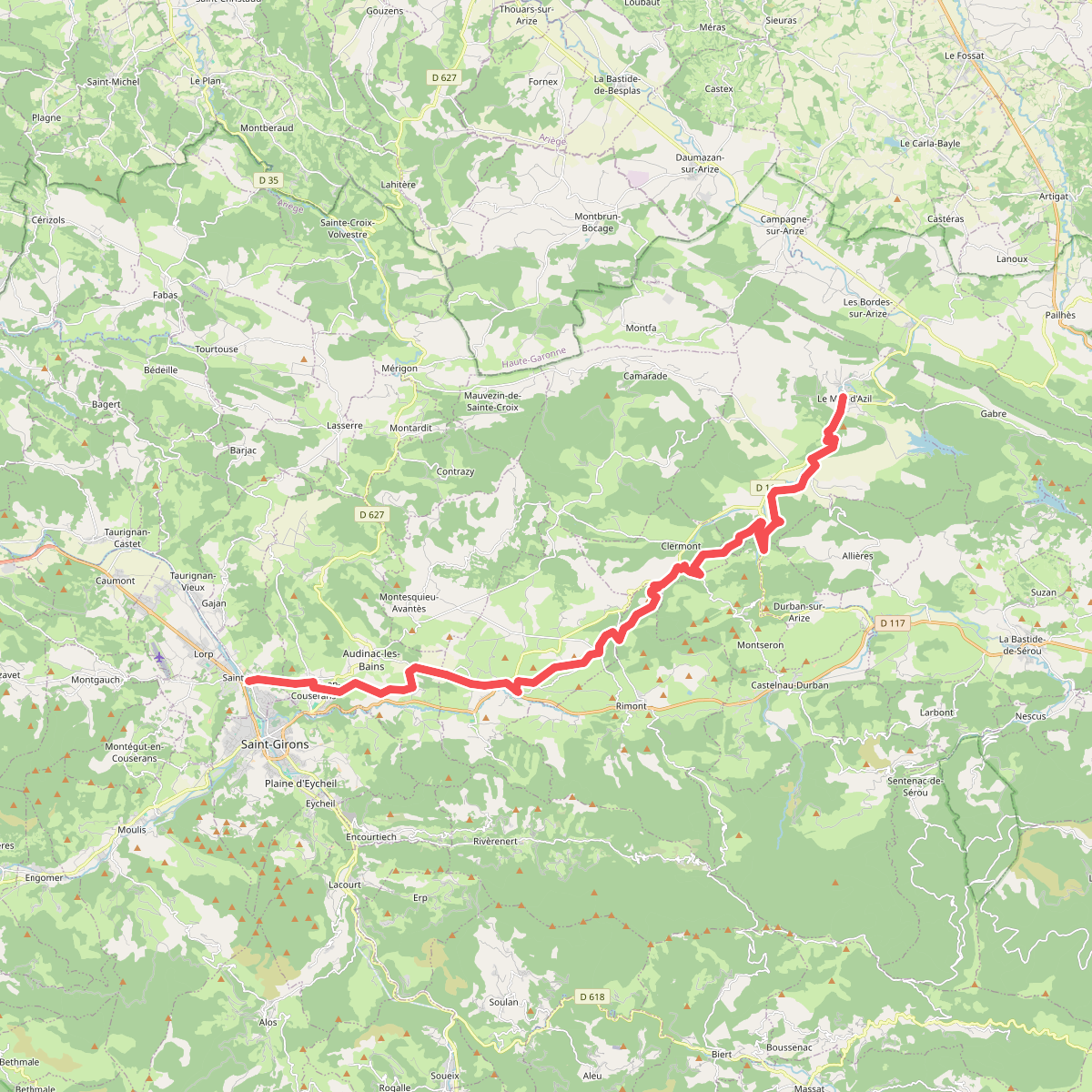
#11. Chemin du Piémont Pyrénéen