

The best hiking routes in Parc naturel Hautes Fagnes - Eifel
Discover the best walks in Parc naturel Hautes Fagnes - Eifel. 12 routes on the map, with descriptions, photos and GPX.
About Parc naturel Hautes Fagnes - Eifel
The Parc naturel Hautes Fagnes - Eifel is defined by its high, open peat bogs and dense spruce forests. This is not a landscape of dramatic peaks or deep gorges, but rather an elevated, gently undulating plateau where water dominates. Walkers will find a stark contrast between the exposed, windswept moorlands of the High Fens and the sheltered, wooded valleys that drop away toward the German border. The terrain is highly acidic and nutrient-poor, which dictates the specialized vegetation you will see along the paths, such as purple moor grass, heather, and cotton grass.
Read more
About Parc naturel Hautes Fagnes - Eifel
The Parc naturel Hautes Fagnes - Eifel is defined by its high, open peat bogs and dense spruce forests. This is not a landscape of dramatic peaks or deep gorges, but rather an elevated, gently undulating plateau where water dominates. Walkers will find a stark contrast between the exposed, windswept moorlands of the High Fens and the sheltered, wooded valleys that drop away toward the German border. The terrain is highly acidic and nutrient-poor, which dictates the specialized vegetation you will see along the paths, such as purple moor grass, heather, and cotton grass.
Read moreThe Parc naturel Hautes Fagnes - Eifel is defined by its high, open peat bogs and dense spruce forests. This is not a landscape of dramatic peaks or deep gorges, but rather an elevated, gently undulating plateau where water dominates. Walkers will find a stark contrast between the exposed, windswept moorlands of the High Fens and the sheltered, wooded valleys that drop away toward the German border. The terrain is highly acidic and nutrient-poor, which dictates the specialized vegetation you will see along the paths, such as purple moor grass, heather, and cotton grass.
Underfoot, the choice of path completely changes the character of your walk. The wettest areas of the active peat bog are accessible only via raised wooden boardwalks, which keep you clear of the deep, saturated moss. Stepping off these boardwalks in the designated free-use zones or entering the surrounding forest transition zones brings you onto clay-heavy dirt tracks, stony fire roads, and paths crisscrossed by thick tree roots. In winter, particularly around January, these higher elevations often hold snow cover long after the surrounding lowlands have cleared.
While the most famous boardwalk routes near Baraque Michel and Botrange attract steady foot traffic, the vast network of forestry tracks in the eastern and southern sectors of the park offers a much quieter experience. You will not find dramatic viewpoints over distant mountain ranges here. Instead, the appeal lies in the subtle shifts between dark pine plantations, open heath, and the quiet, trickling streams that feed the local reservoirs.
Hiking routes in Parc naturel Hautes Fagnes - Eifel (12)
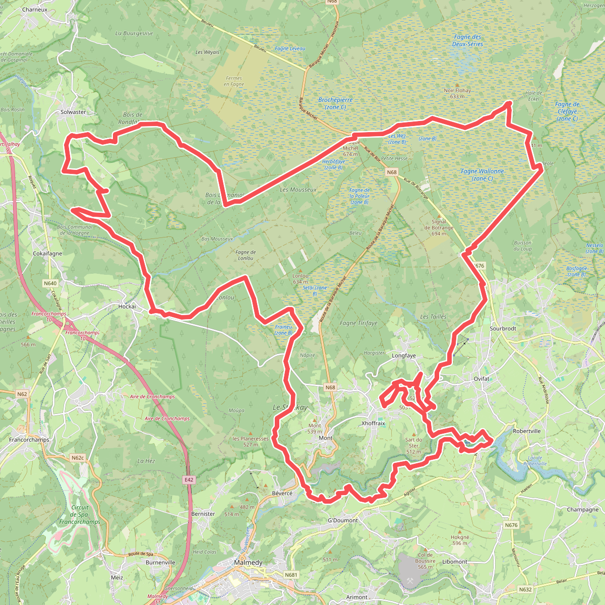
#1. 3 daagse hike hoge venen
Malmedy,Stavelot,Sart,Robertville,Waimes
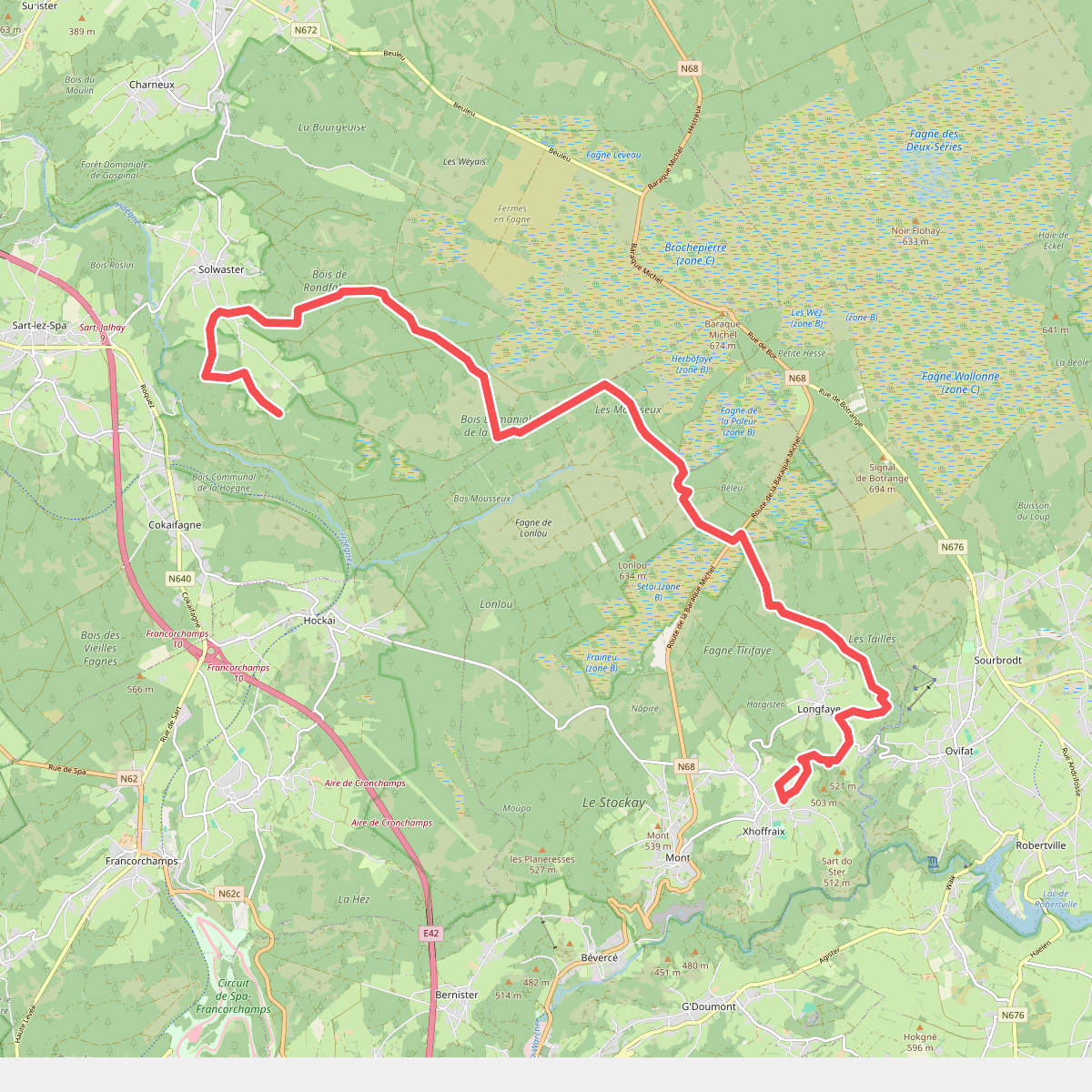
#2. 3 daagse hike hoge venen, dag 2 korte route
Sart,Malmedy
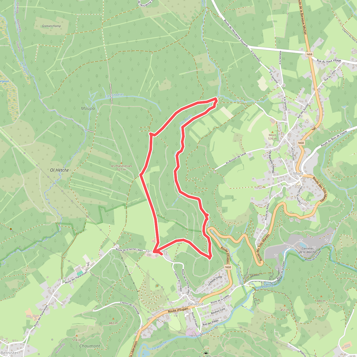
#3. De canyon van Trôs-Maret
Malmedy
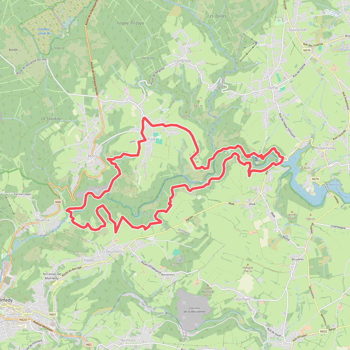
#4. De Heuvelkammen van de Warche
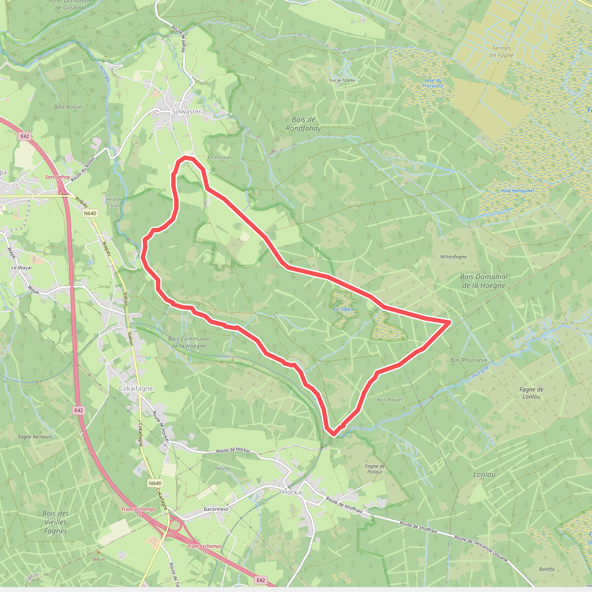
#5. De vallei van de Hoëgne
Jalhay,Stavelot
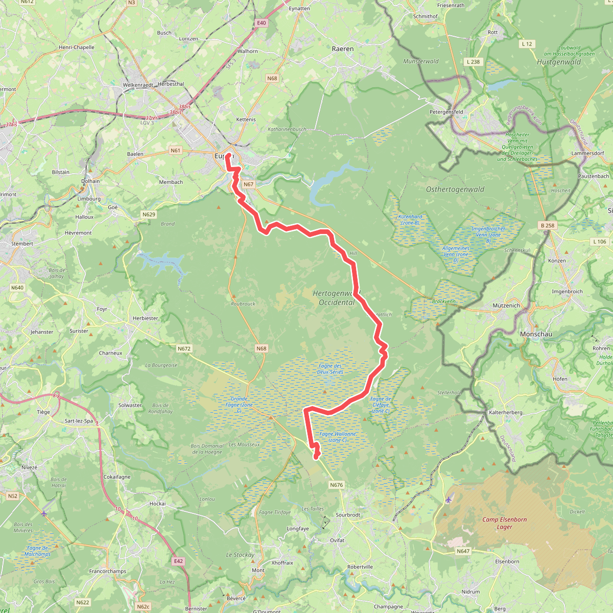
#6. Etappe 3 · Venntrilogie etappe 3
Robertville,Baelen,Eupen
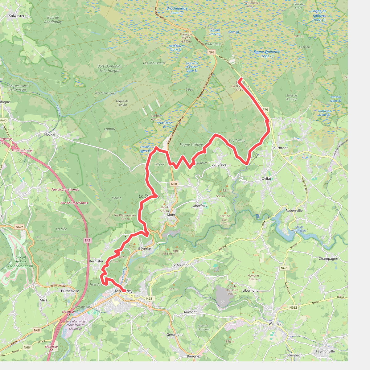
#7. Etappe 4 · Venntrilogie etappe 4
Malmedy,Robertville
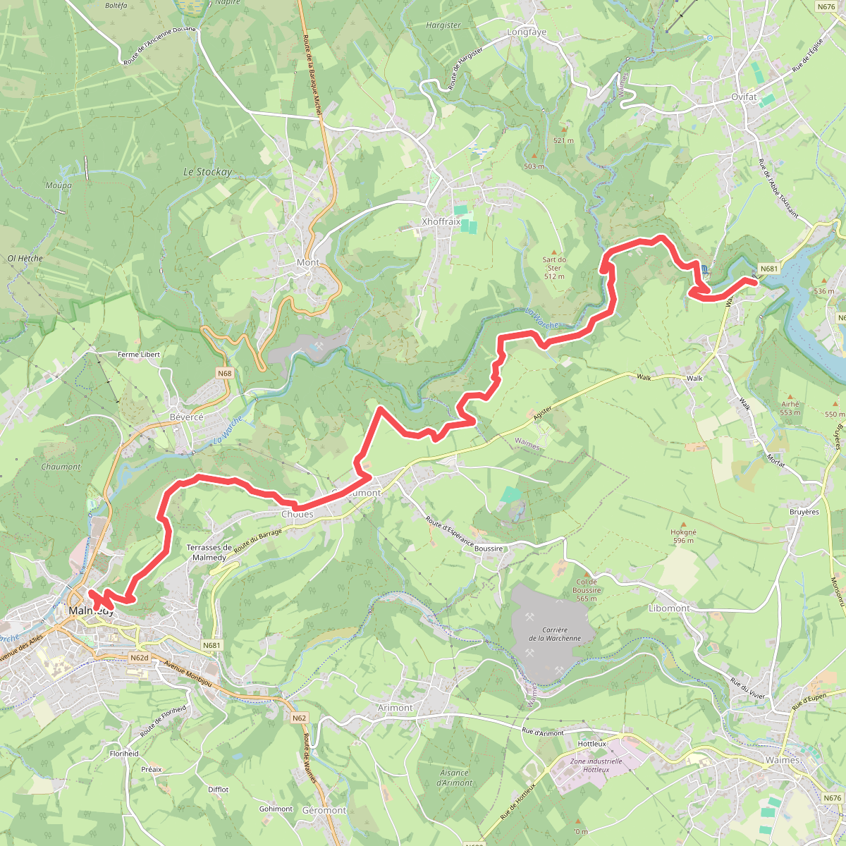
#8. Etappe 5 · Venntrilogie etappe 5
Robertville,Malmedy
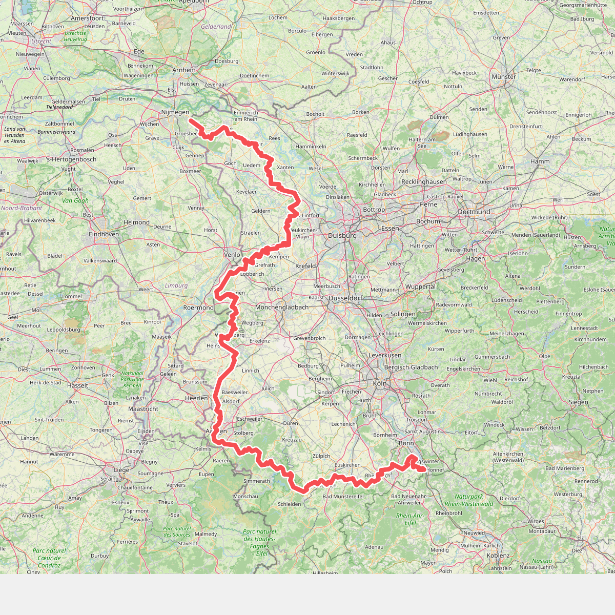
#9. Europäischer Fernwanderweg E8, Nordrhein-Westfalen
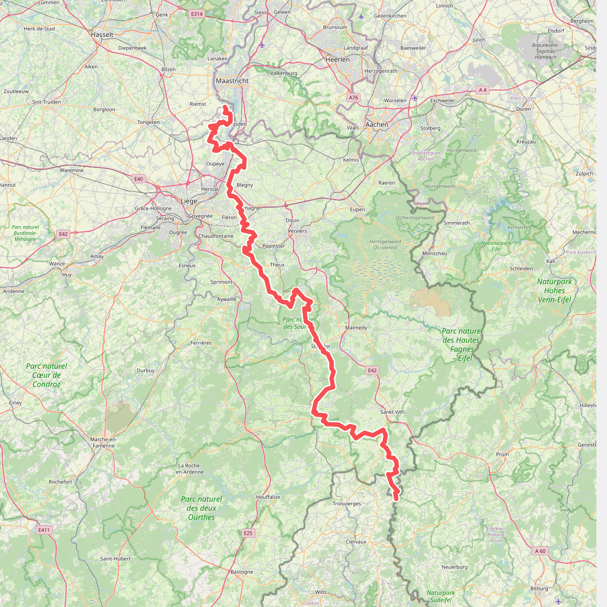
#10. GR 5 Wallonie
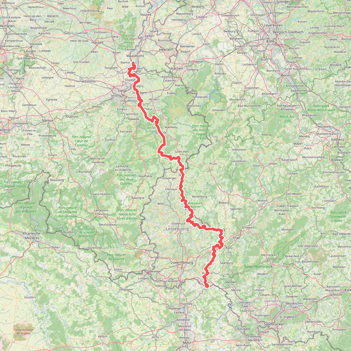
#11. Gr5 vanaf Maastricht
Riemst,Visé,Wonck,Haccourt,Feneur,Blegny,Soumagne,Olne,Trooz,Sprimont,Theux,Spa,La Gleize,Stavelot,Wanne,Vielsalm,Gouvy,Thommen,Reuland,Clervaux,Dasburg,Parc Hosingen,Putscheid,Vianden,Tandel,Bettendorf,Vallée de l'Ernz,Beaufort,Berdorf,Echternach,Rosport-Mompach,Condominium Lëtzebuerg-Deutschland,Mertert,Manternach,Wormeldange,Stadtbredimus,Remich,Schengen,Perl
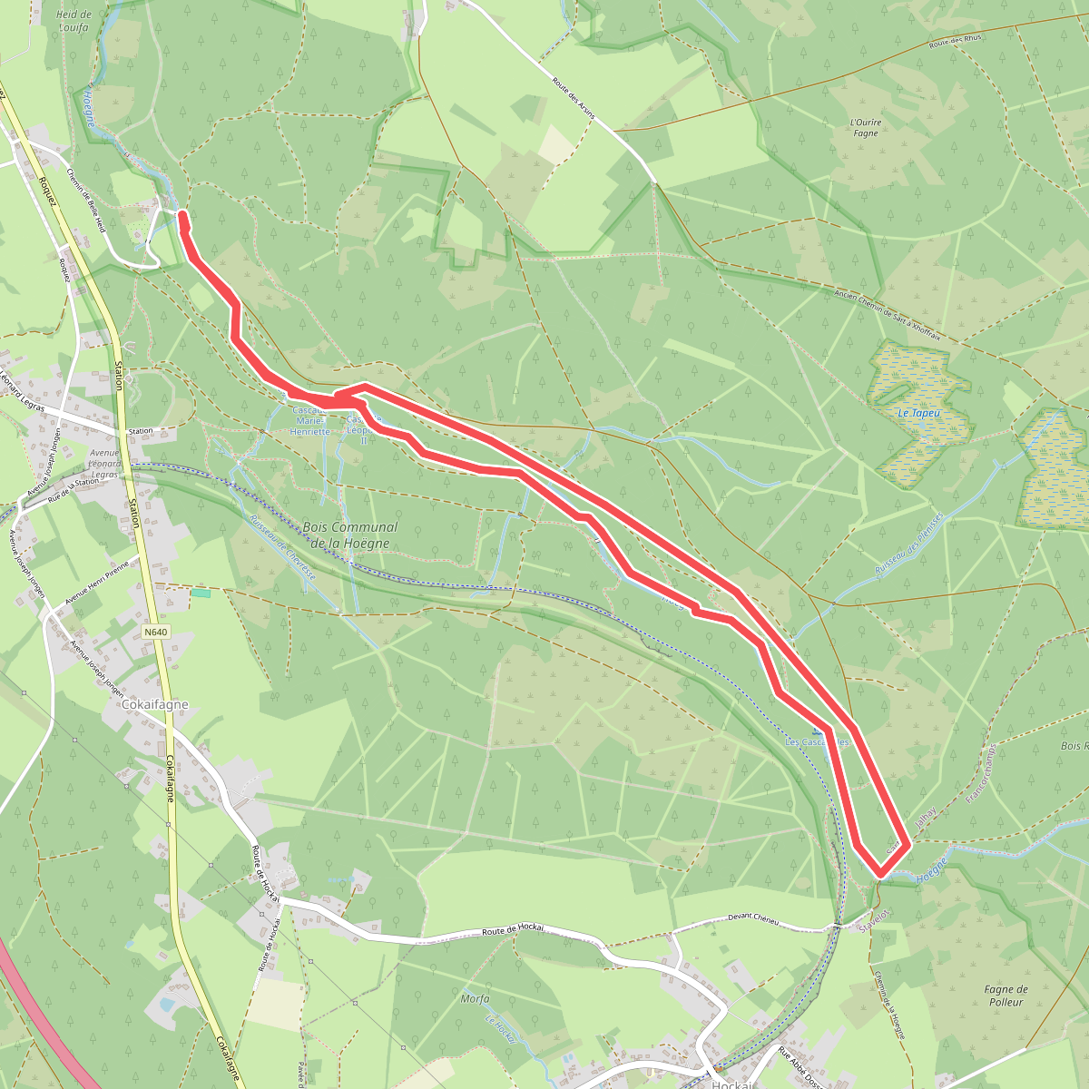
#12. La Hoegne
Sart



