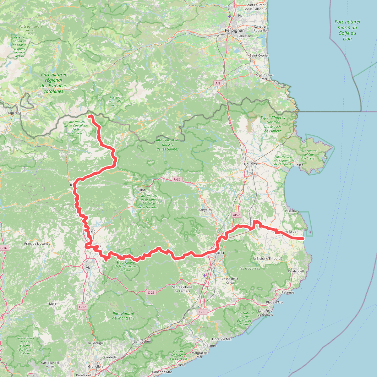
The best hiking routes in Parc Natural del Cap de Creus
Discover the best walks in Parc Natural del Cap de Creus. 16 routes on the map, with descriptions, photos and GPX.
About Parc Natural del Cap de Creus
Parc Natural del Cap de Creus is a dry, rocky peninsula where the Pyrenees meet the Mediterranean Sea. Unlike the sandy beaches further south, this landscape is defined by dark, weathered slate and pale pegmatite rock formations shaped by intense northern winds. Vegetation is sparse and low-lying, consisting mainly of rosemary, gorse, and mastic shrubs that cling to the exposed hillsides. Walkers will not find deep forests or high alpine peaks here, but rather a stark, open terrain of scrubland and steep cliffs.
Read more
About Parc Natural del Cap de Creus
Parc Natural del Cap de Creus is a dry, rocky peninsula where the Pyrenees meet the Mediterranean Sea. Unlike the sandy beaches further south, this landscape is defined by dark, weathered slate and pale pegmatite rock formations shaped by intense northern winds. Vegetation is sparse and low-lying, consisting mainly of rosemary, gorse, and mastic shrubs that cling to the exposed hillsides. Walkers will not find deep forests or high alpine peaks here, but rather a stark, open terrain of scrubland and steep cliffs.
Read moreParc Natural del Cap de Creus is a dry, rocky peninsula where the Pyrenees meet the Mediterranean Sea. Unlike the sandy beaches further south, this landscape is defined by dark, weathered slate and pale pegmatite rock formations shaped by intense northern winds. Vegetation is sparse and low-lying, consisting mainly of rosemary, gorse, and mastic shrubs that cling to the exposed hillsides. Walkers will not find deep forests or high alpine peaks here, but rather a stark, open terrain of scrubland and steep cliffs.
Underfoot, the paths are predominantly rough, stony tracks and old mule paths paved with uneven slate. Sturdy footwear is essential, as the loose stones and sharp rock edges require constant attention. The main trails, such as the dry stone paths leading to the lighthouse at the easternmost point, are well-defined but offer no shade. In contrast, the narrow descent tracks into the rocky coves, or calas, are steeper and require navigating scree and bare rock surfaces.
During the spring months of April and May, the grey and green scrubland is briefly punctuated by yellow gorse blooms before the summer heat dries the vegetation. While the interior tracks through the abandoned terraced hillsides are often quieter, the coastal paths near Cadaqus and the lighthouse area attract more visitors. This is a landscape of sharp contrasts, where the walking is physically demanding due to the hard, uneven ground and the complete exposure to the elements.
Hiking routes in Parc Natural del Cap de Creus (16)
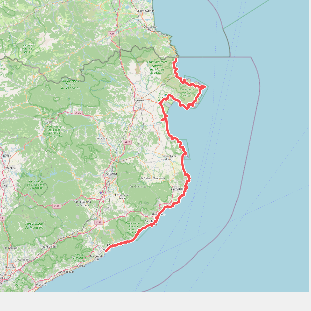
#1. Camí de Ronda
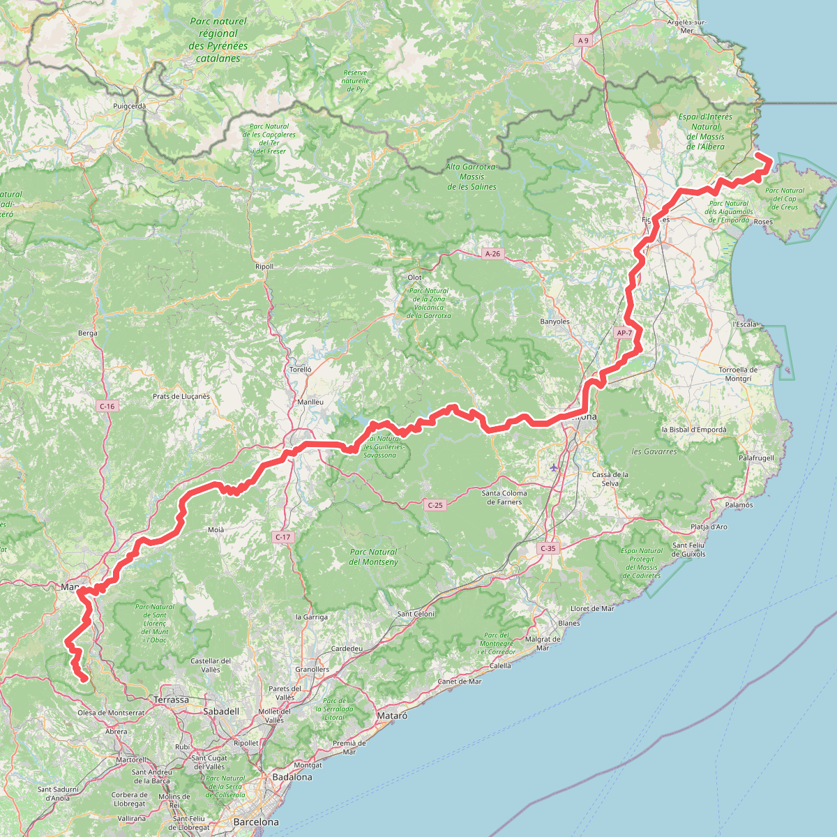
#2. Camí de Sant Jaume (Sant Pere de Rodes - Montserrat)
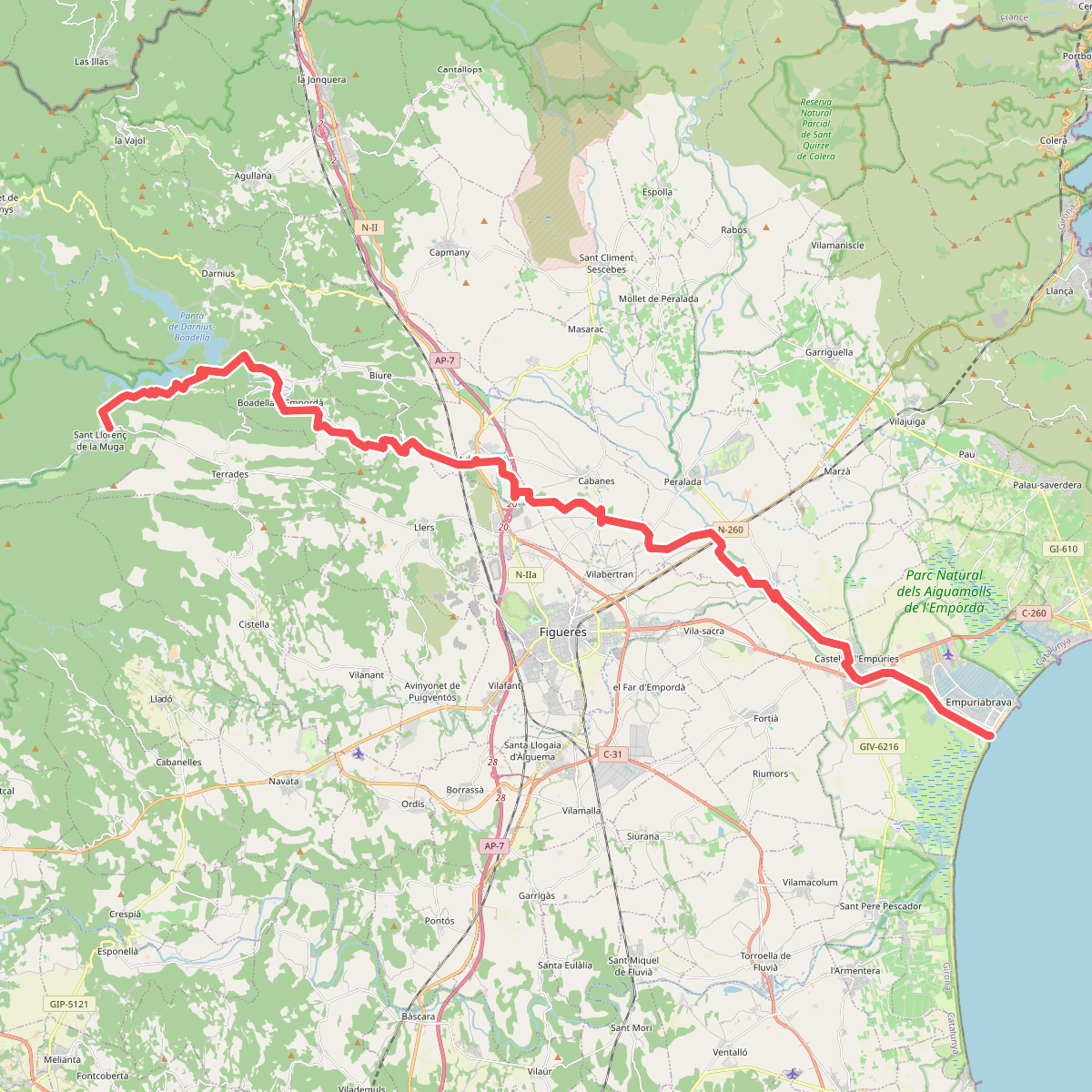
#3. Camí natural de La Muga
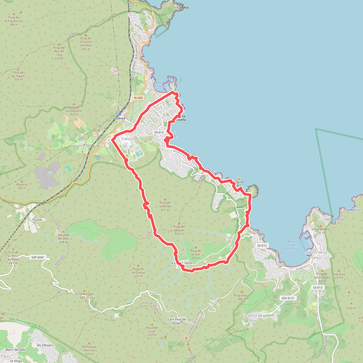
#4. Carrerada de Sant Pere de Rodes
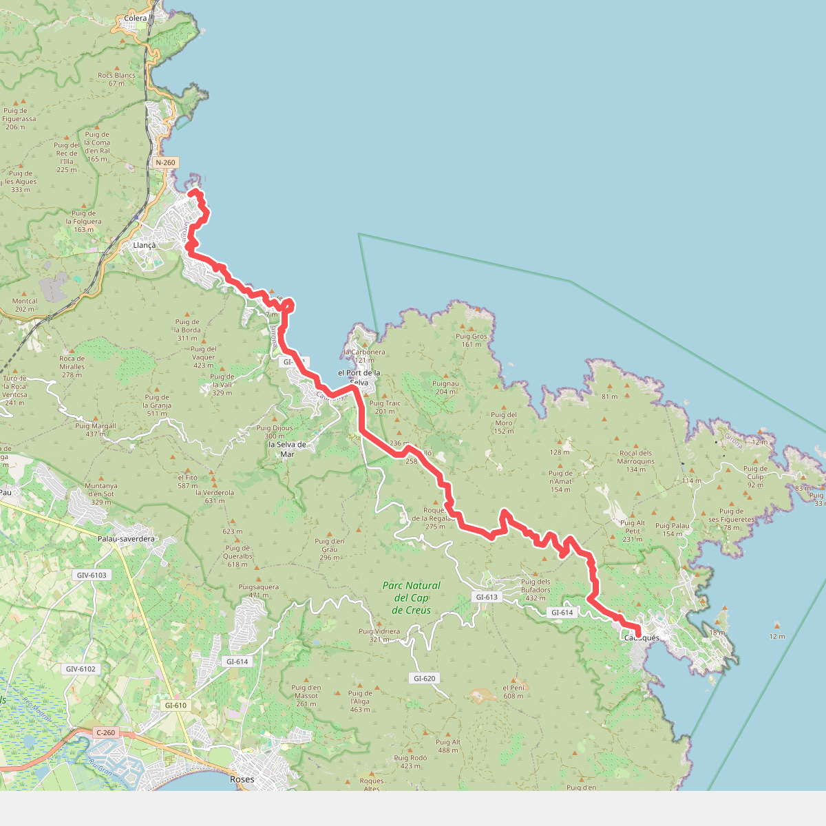
#5. Catalunya E02
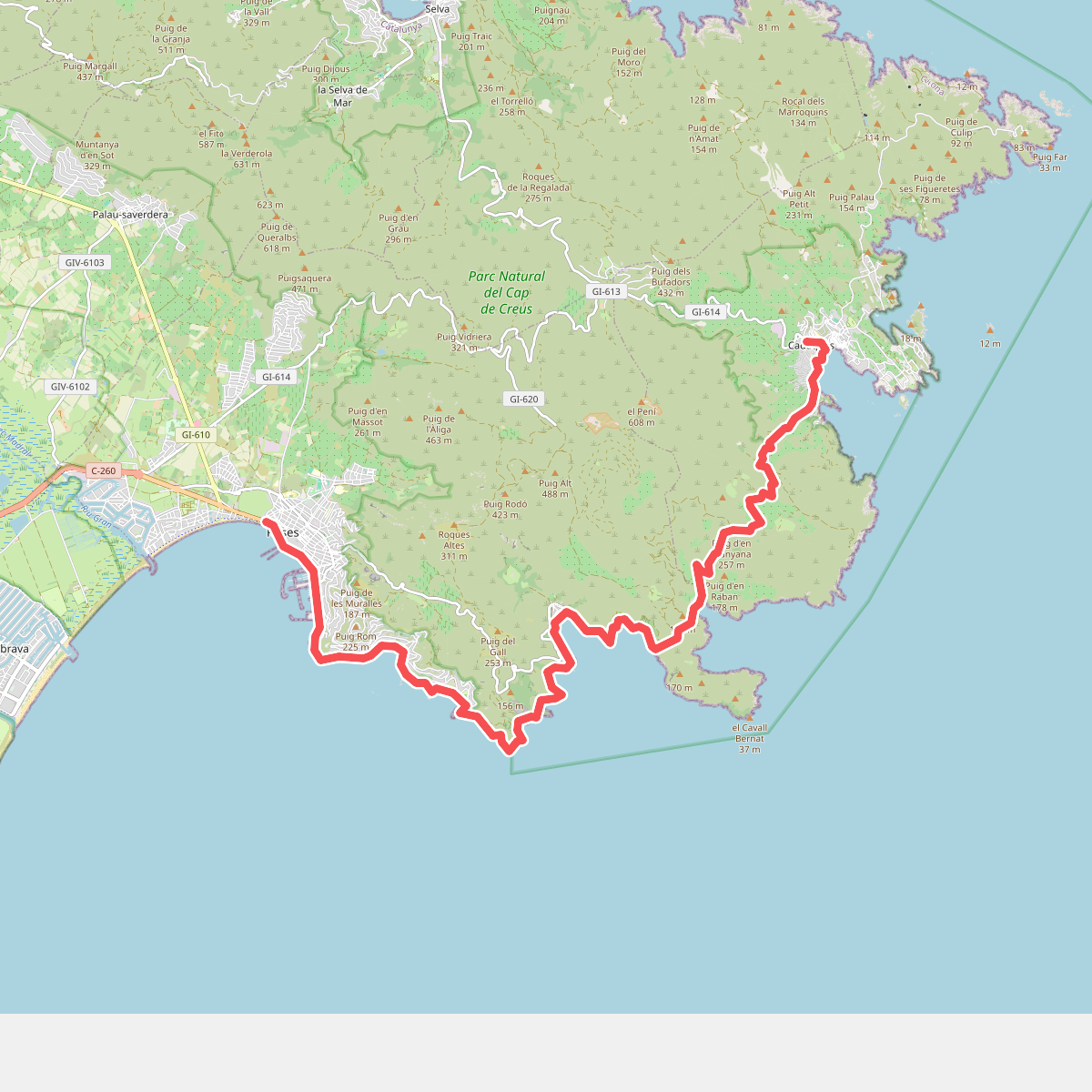
#6. Catalunya E03
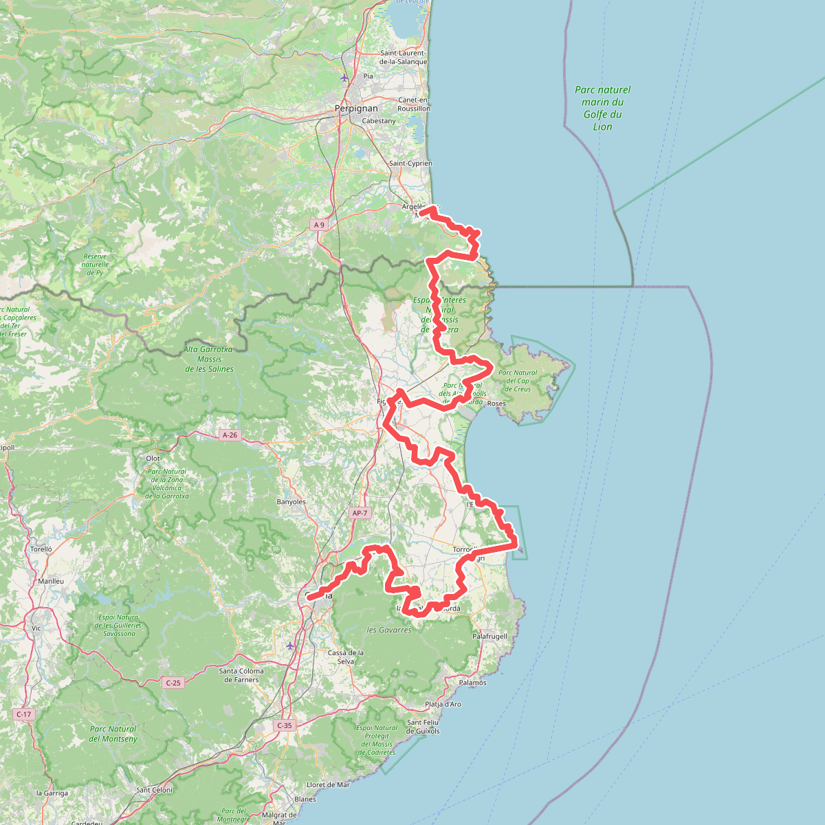
#7. El Camí IT7TR5 El Camí de Llevant: de Montserrat a Salses
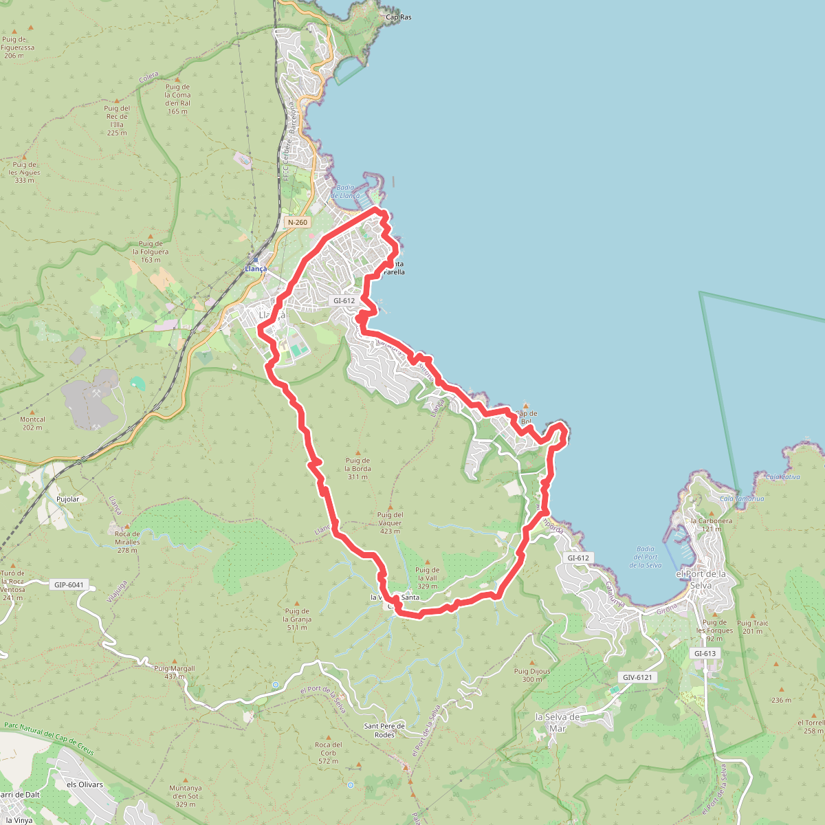
#8. Llançà a la Vall de Santa Creu i el camí de ronda de Port de la Selva
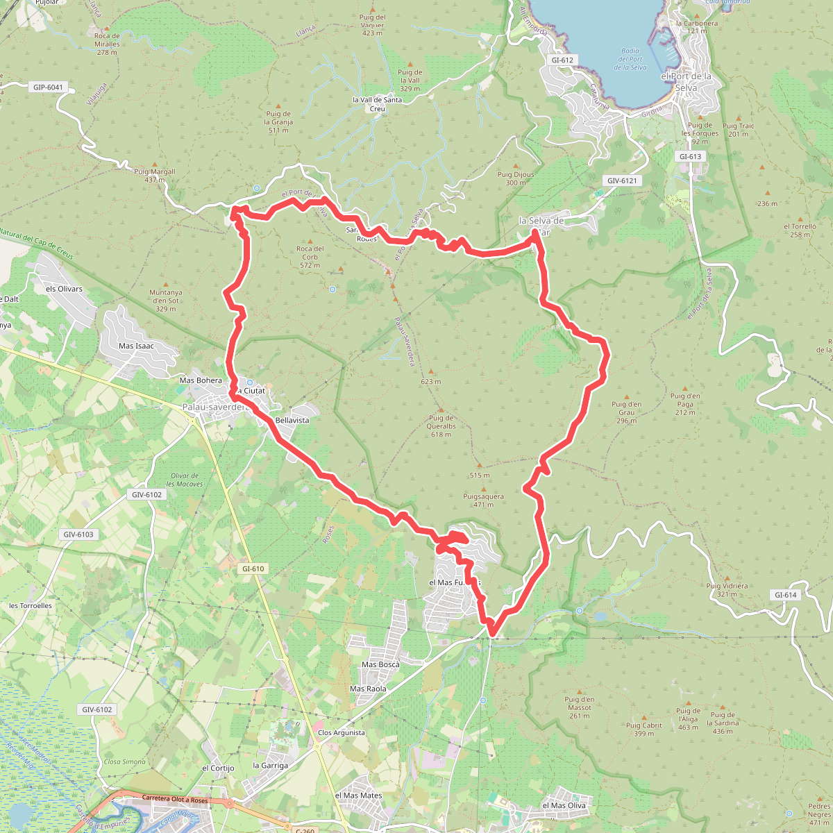
#9. Pels dominis de Sant Pere de Rodes
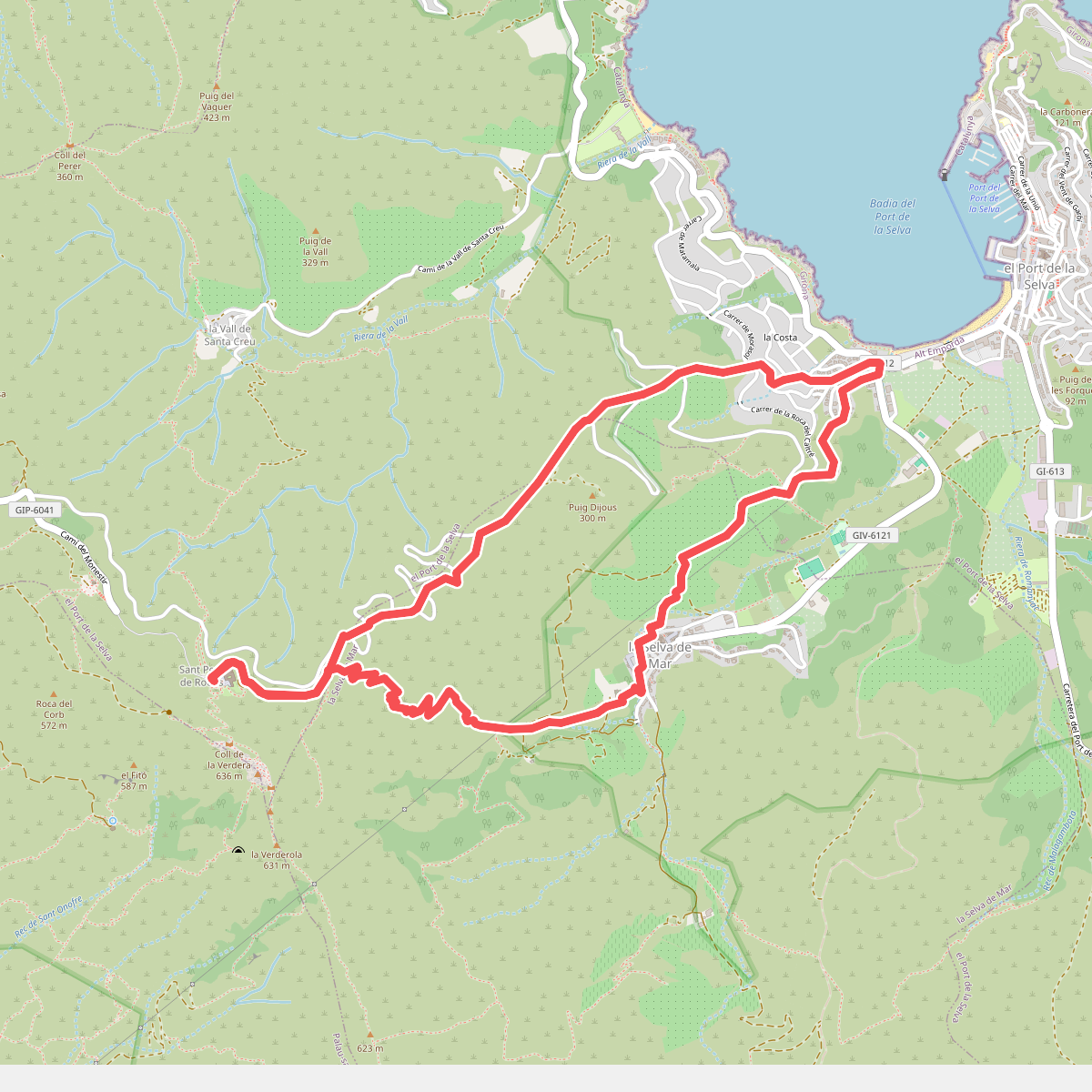
#10. Port de la Selva a Sant Pere de Rodes i Selva de Mar
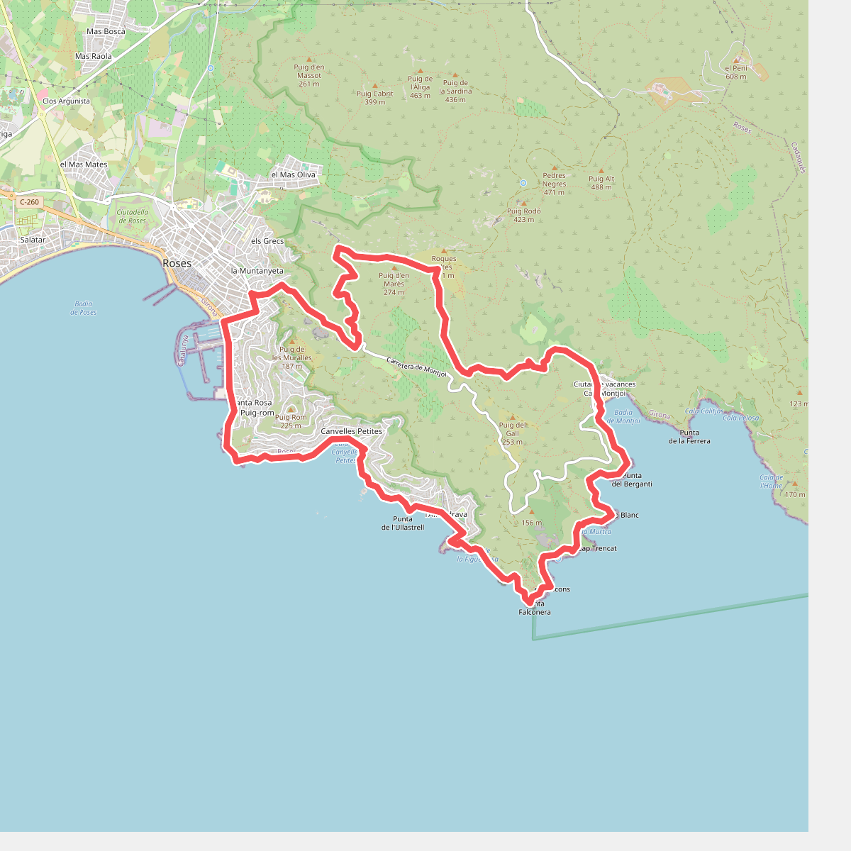
#11. Roses, camí de ronda i el megalític