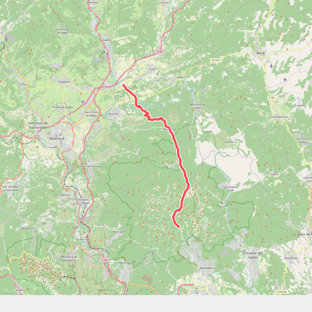
The best hiking routes in Parc Natural de Sant Llorenç del Munt i l'Obac
Discover the best walks in Parc Natural de Sant Llorenç del Munt i l'Obac. 39 routes on the map, with descriptions, photos and GPX.
About Parc Natural de Sant Llorenç del Munt i l'Obac
Parc Natural de Sant Llorenç del Munt i l'Obac is characterized by its distinctive conglomerate rock formations, which rise in stepped, reddish cliffs and flat-topped summits like La Mola and Montcau. Unlike the nearby granite ranges, the terrain here consists of thick layers of consolidated pebbles and silt, which have eroded into steep gullies, narrow crevices, and exposed rocky terraces. Underfoot, walkers will mostly encounter hard, stony tracks, loose gravel, and bare rock surfaces, rather than soft soil or pine-needle paths.
Read more
About Parc Natural de Sant Llorenç del Munt i l'Obac
Parc Natural de Sant Llorenç del Munt i l'Obac is characterized by its distinctive conglomerate rock formations, which rise in stepped, reddish cliffs and flat-topped summits like La Mola and Montcau. Unlike the nearby granite ranges, the terrain here consists of thick layers of consolidated pebbles and silt, which have eroded into steep gullies, narrow crevices, and exposed rocky terraces. Underfoot, walkers will mostly encounter hard, stony tracks, loose gravel, and bare rock surfaces, rather than soft soil or pine-needle paths.
Read moreParc Natural de Sant Llorenç del Munt i l'Obac is characterized by its distinctive conglomerate rock formations, which rise in stepped, reddish cliffs and flat-topped summits like La Mola and Montcau. Unlike the nearby granite ranges, the terrain here consists of thick layers of consolidated pebbles and silt, which have eroded into steep gullies, narrow crevices, and exposed rocky terraces. Underfoot, walkers will mostly encounter hard, stony tracks, loose gravel, and bare rock surfaces, rather than soft soil or pine-needle paths.
This landscape is divided into two distinct sectors separated by the Les Arenes valley. The eastern Sant Llorenç section is dominated by high, barren cliffs and dense holm oak forests growing in the ravines, while the western l'Obac block features a more complex labyrinth of lower ridges, old charcoal-burning platforms, and ruins of stone farmhouses. The vegetation adapts strictly to the geology, with dry, scrubby garrigue on the sun-exposed south faces and damp, mossy oak woods in the shaded northern crevices.
Walkers should not expect high alpine peaks or permanent running rivers, as the water quickly disappears into the porous limestone and conglomerate caves beneath the surface. The paths are often steep and uneven, requiring careful stepping over rock steps rather than gentle strolls. While the main track to the monastery atop La Mola is frequently busy with local walkers, the deeper tracks through the l'Obac ruins offer a much quieter, more solitary experience of this dry, rugged Mediterranean massif.
Hiking routes in Parc Natural de Sant Llorenç del Munt i l'Obac (39)
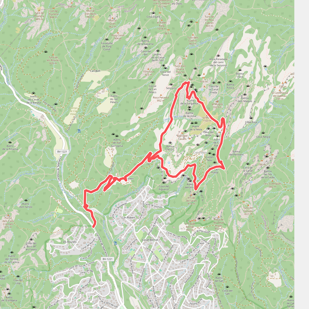
#1. A la Mola des de Can Robert
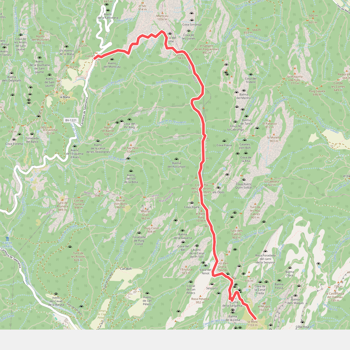
#2. A la Mola des de el coll d'Estenalles
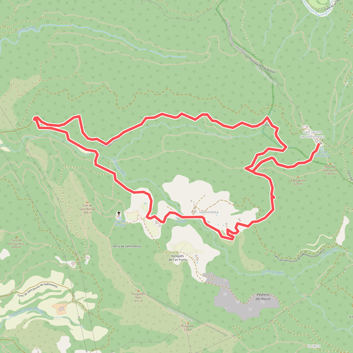
#3. A Sant Jaume de Vallhonesta pel camí dels Maquis
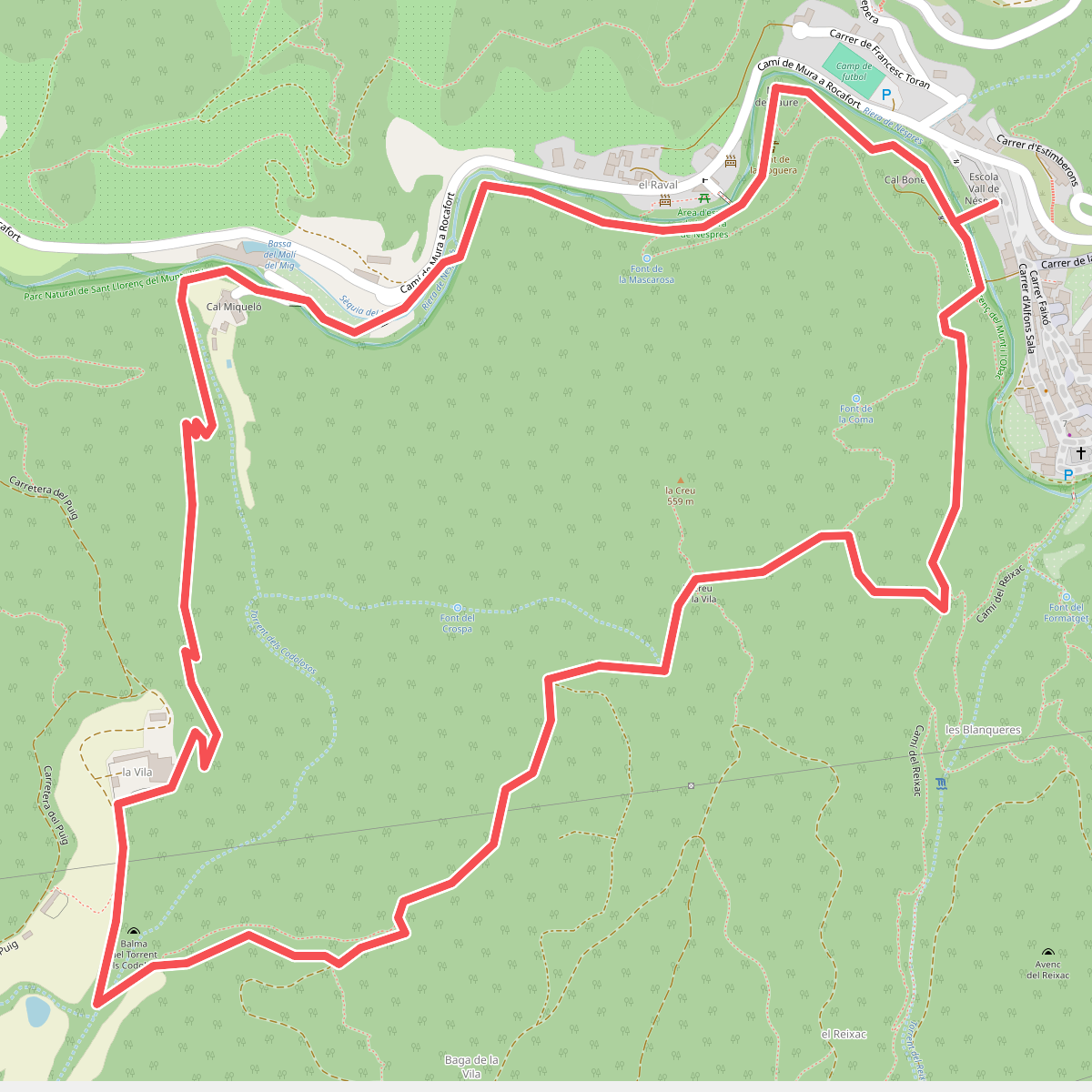
#4. Balmes, masies i molins
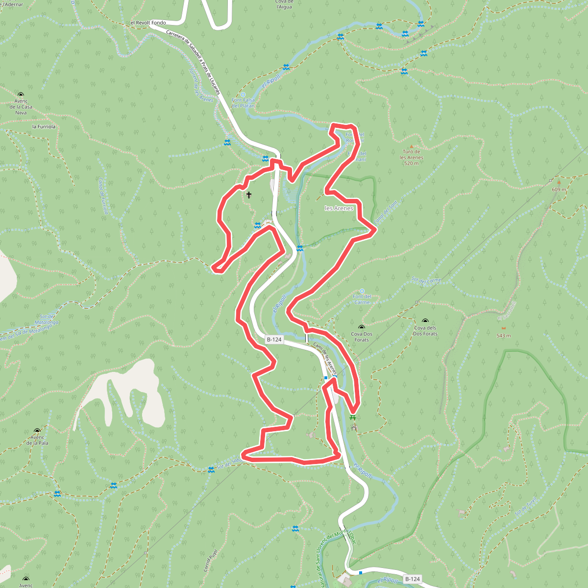
#5. Camí de les Arenes
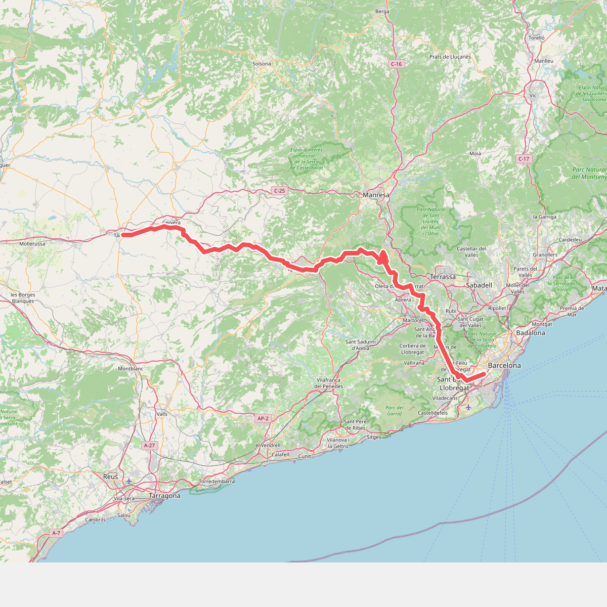
#6. Camí de Sant Jaume (l'Hospitalet - Tàrrega)
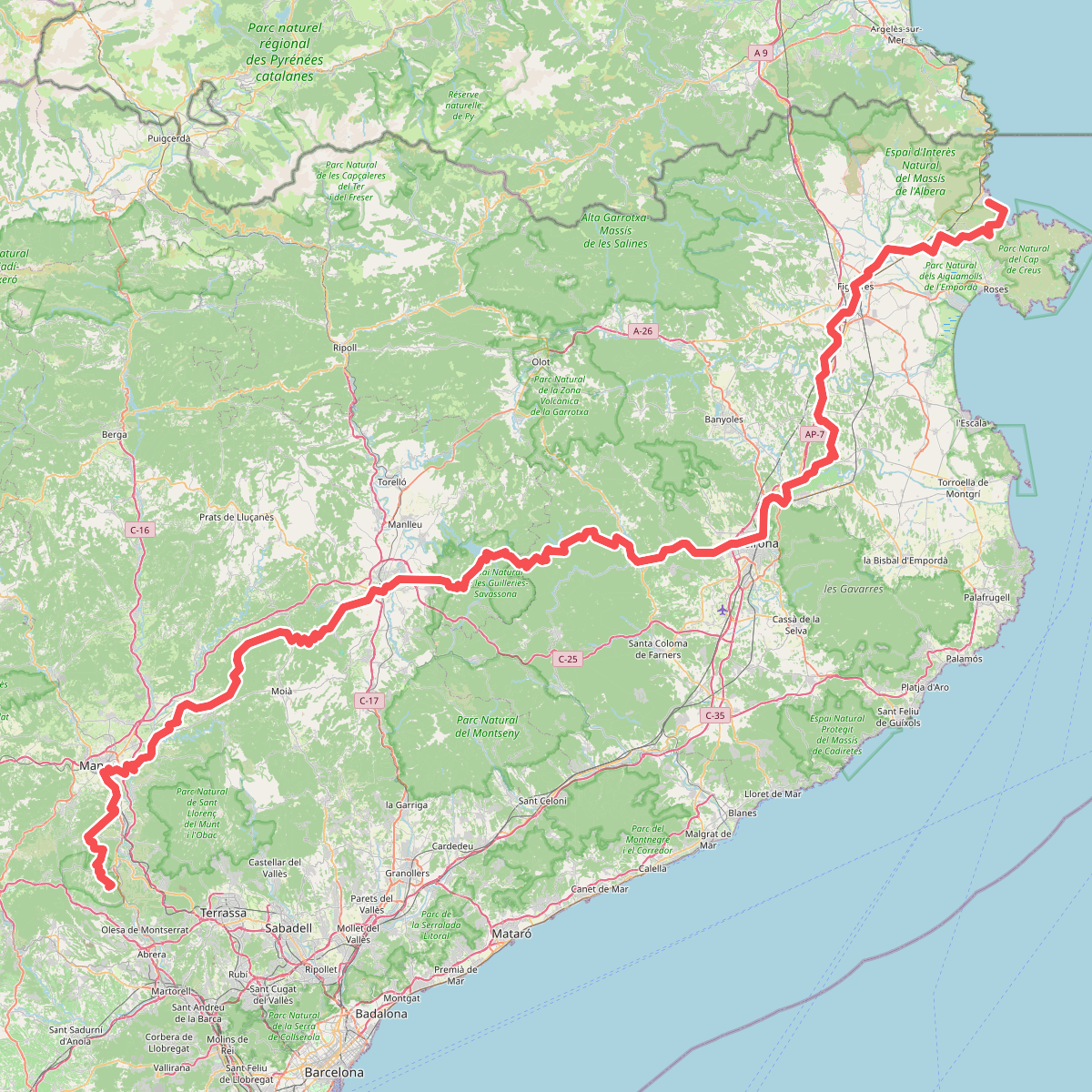
#7. Camí de Sant Jaume (Sant Pere de Rodes - Montserrat)
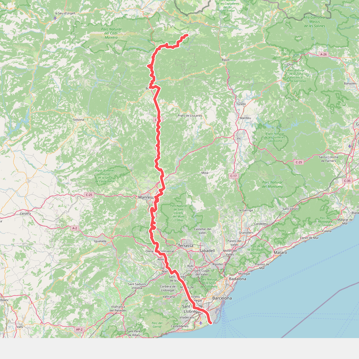
#8. Camí del Llobregat
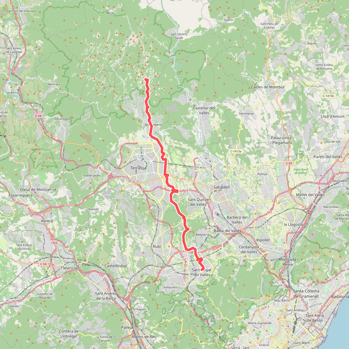
#9. Camí dels Monjos
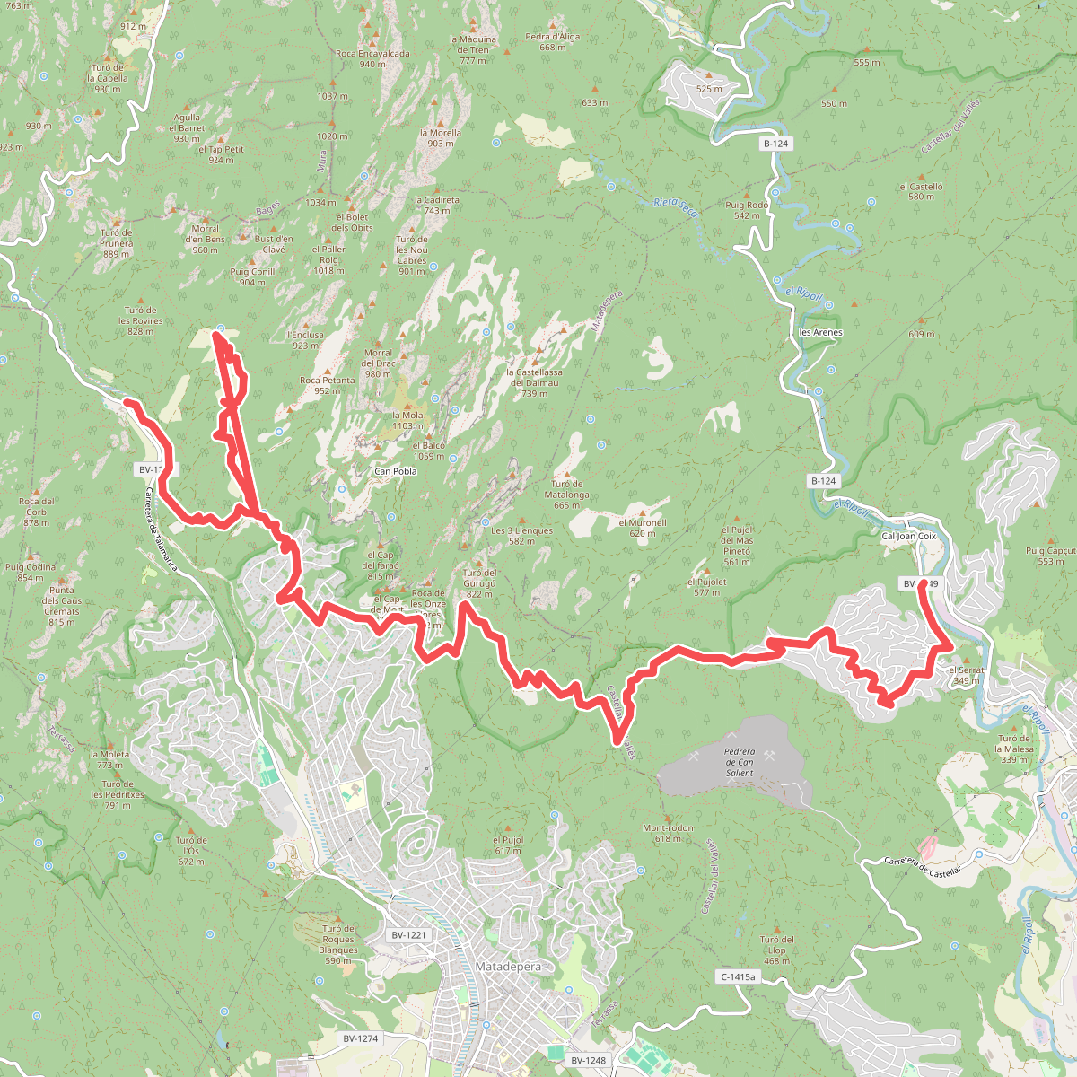
#10. Camí Moliner
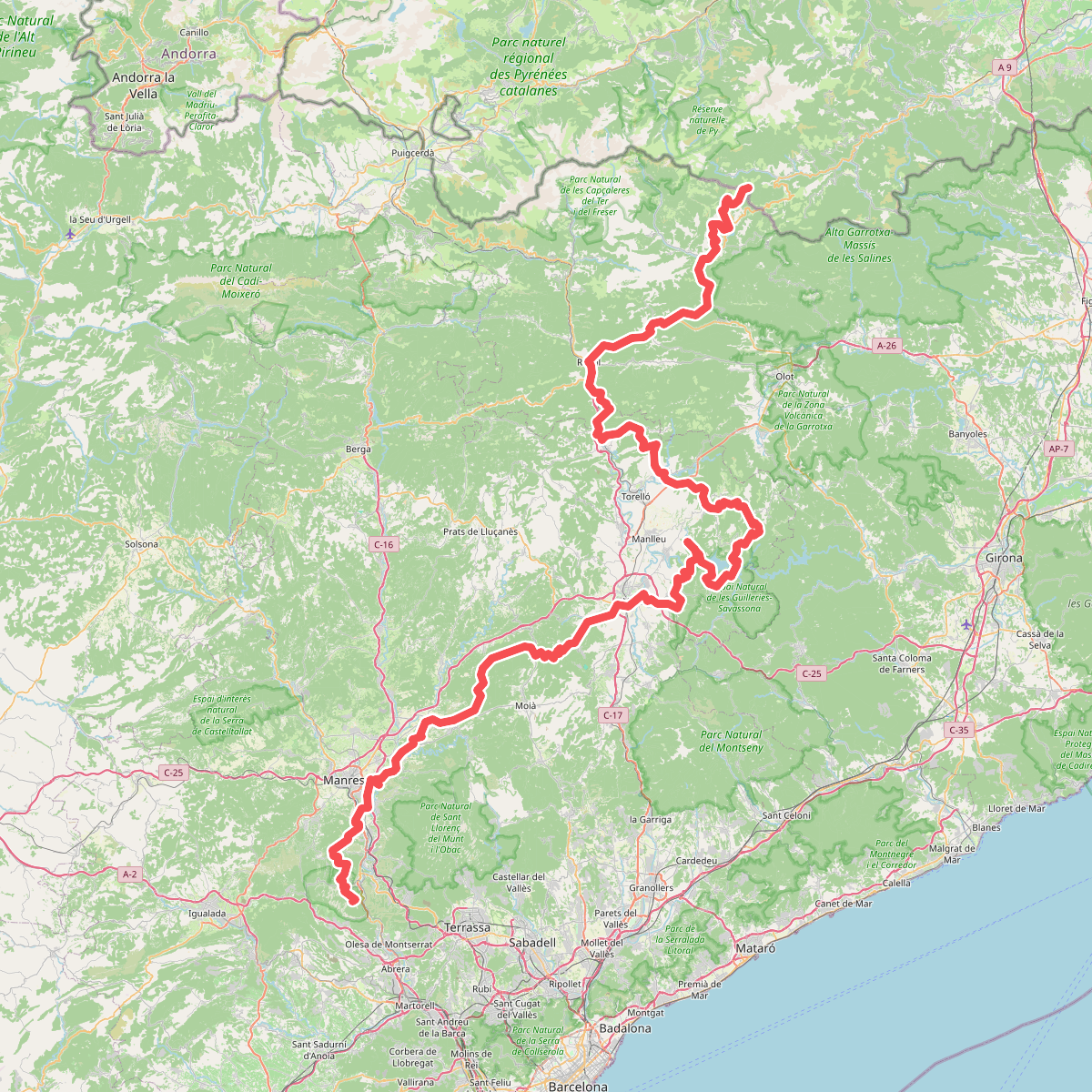
#11. Camí Oliba