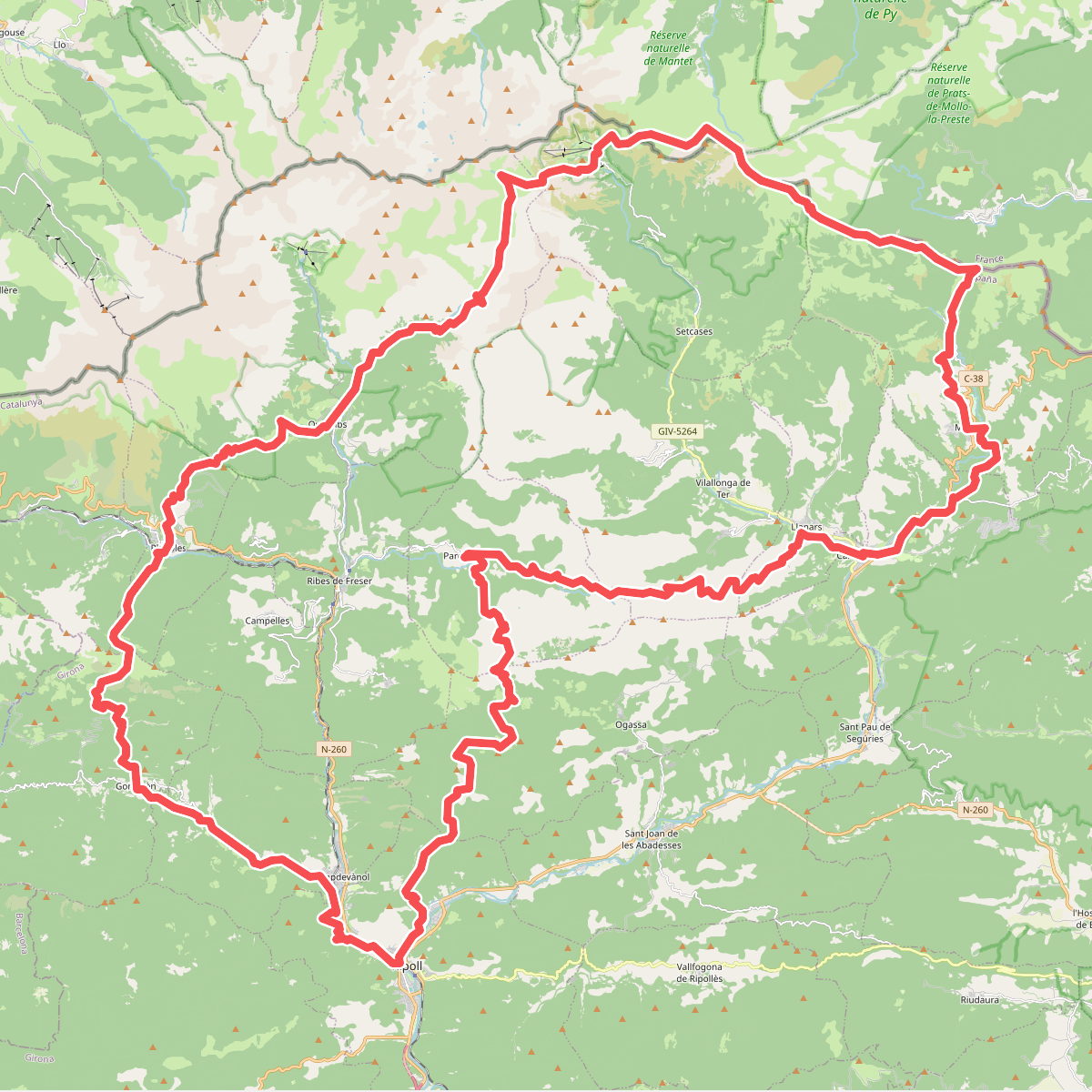
The best hiking routes in Parc Natural de les Capçaleres del Ter i del Freser
Discover the best walks in Parc Natural de les Capçaleres del Ter i del Freser. 30 routes on the map, with descriptions, photos and GPX.
About Parc Natural de les Capçaleres del Ter i del Freser
Parc Natural de les Capçaleres del Ter i del Freser covers a high-altitude Pyrenean landscape shaped by glacial action and steep elevation changes. Unlike flatter mid-altitude reserves, this area is defined by sharp granite ridges, deep cirques, and alpine meadows that sit well above the tree line. Walkers will notice a stark transition from dense pine forests on the lower slopes to vast, open pastures and bare rock fields higher up, where the headwaters of the Ter and Freser rivers begin as fast-flowing mountain streams.
Read more
About Parc Natural de les Capçaleres del Ter i del Freser
Parc Natural de les Capçaleres del Ter i del Freser covers a high-altitude Pyrenean landscape shaped by glacial action and steep elevation changes. Unlike flatter mid-altitude reserves, this area is defined by sharp granite ridges, deep cirques, and alpine meadows that sit well above the tree line. Walkers will notice a stark transition from dense pine forests on the lower slopes to vast, open pastures and bare rock fields higher up, where the headwaters of the Ter and Freser rivers begin as fast-flowing mountain streams.
Read moreParc Natural de les Capçaleres del Ter i del Freser covers a high-altitude Pyrenean landscape shaped by glacial action and steep elevation changes. Unlike flatter mid-altitude reserves, this area is defined by sharp granite ridges, deep cirques, and alpine meadows that sit well above the tree line. Walkers will notice a stark transition from dense pine forests on the lower slopes to vast, open pastures and bare rock fields higher up, where the headwaters of the Ter and Freser rivers begin as fast-flowing mountain streams.
Underfoot, the paths vary from stony, eroded dirt tracks to scree slopes and rough granite steps. Navigating the terrain requires careful footwork, as many routes follow steep, unpaved shepherd paths rather than manicured gravel ways. The high valleys, such as the Coma de Vaca, feature boggy alpine lawns where water pools in the peat, while the ridges around Bastiments offer dry, wind-scoured slate and rock underfoot.
This is a demanding mountain environment where the main challenge is the steepness of the climbs rather than dense forest navigation. It does not offer gentle, rolling woodland walks or flat lakeside strolls. In late June, the high meadows are bright with alpine flowers, while by October, the grass turns a deep rust color before the early winter snows cover the peaks.
Hiking routes in Parc Natural de les Capçaleres del Ter i del Freser (30)
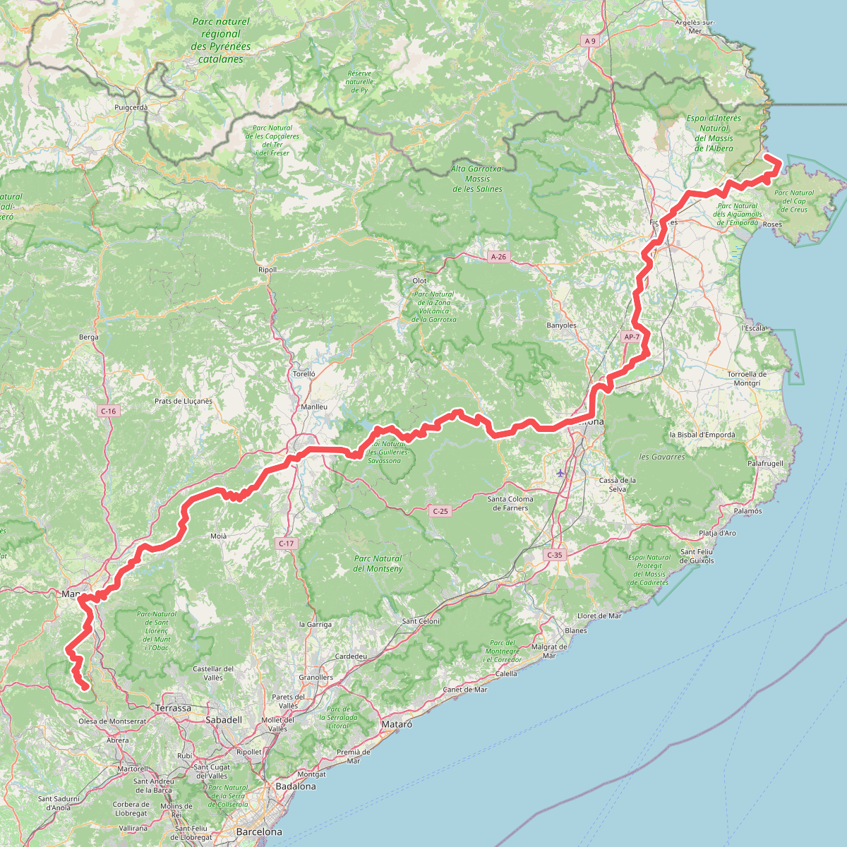
#1. Camí de Sant Jaume (Sant Pere de Rodes - Montserrat)
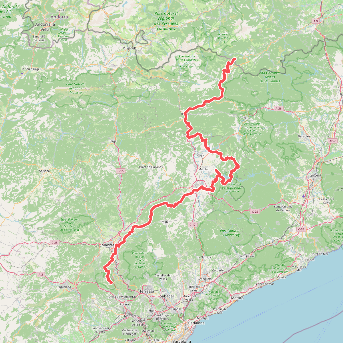
#2. Camí Oliba
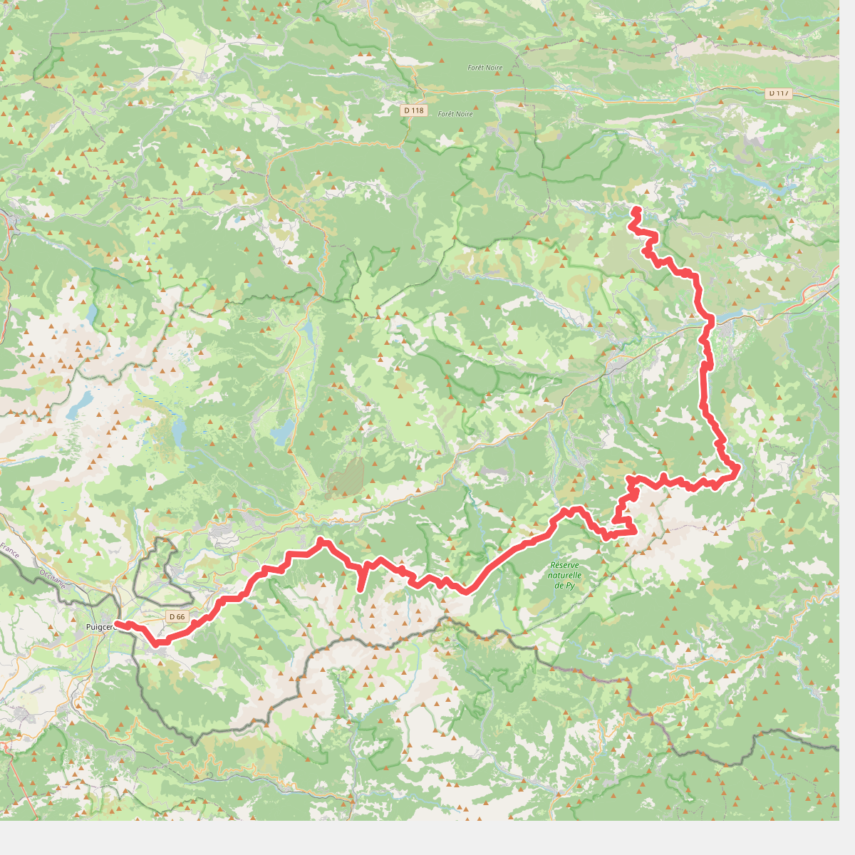
#3. De la Manche aux Pyrénées 24, Sournia - Bourg-Madame
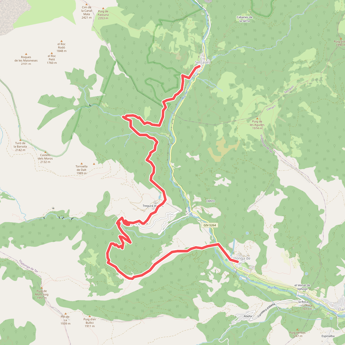
#4. De Setcases a Vilallonga de Ter
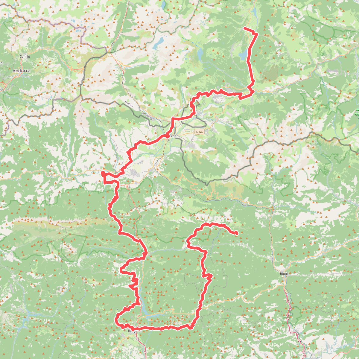
#5. El Camí IT1TR4 El Camí Capçaler: de Salzes a Balaguer
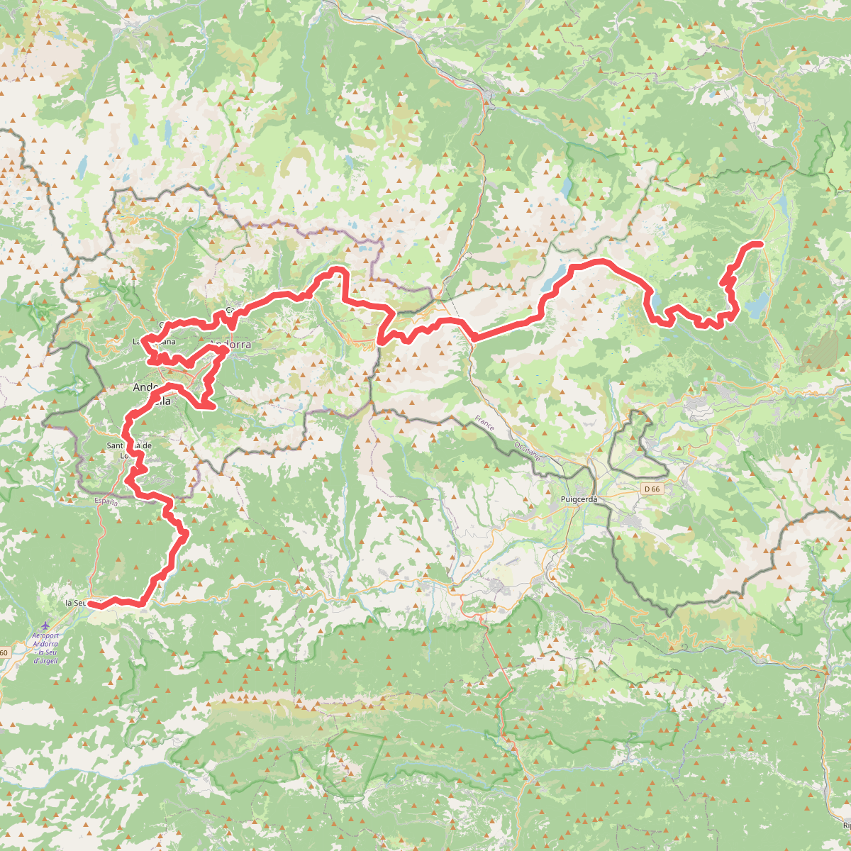
#6. El Camí IT1TR5 El Camí Capçaler: de Salzes a Balaguer
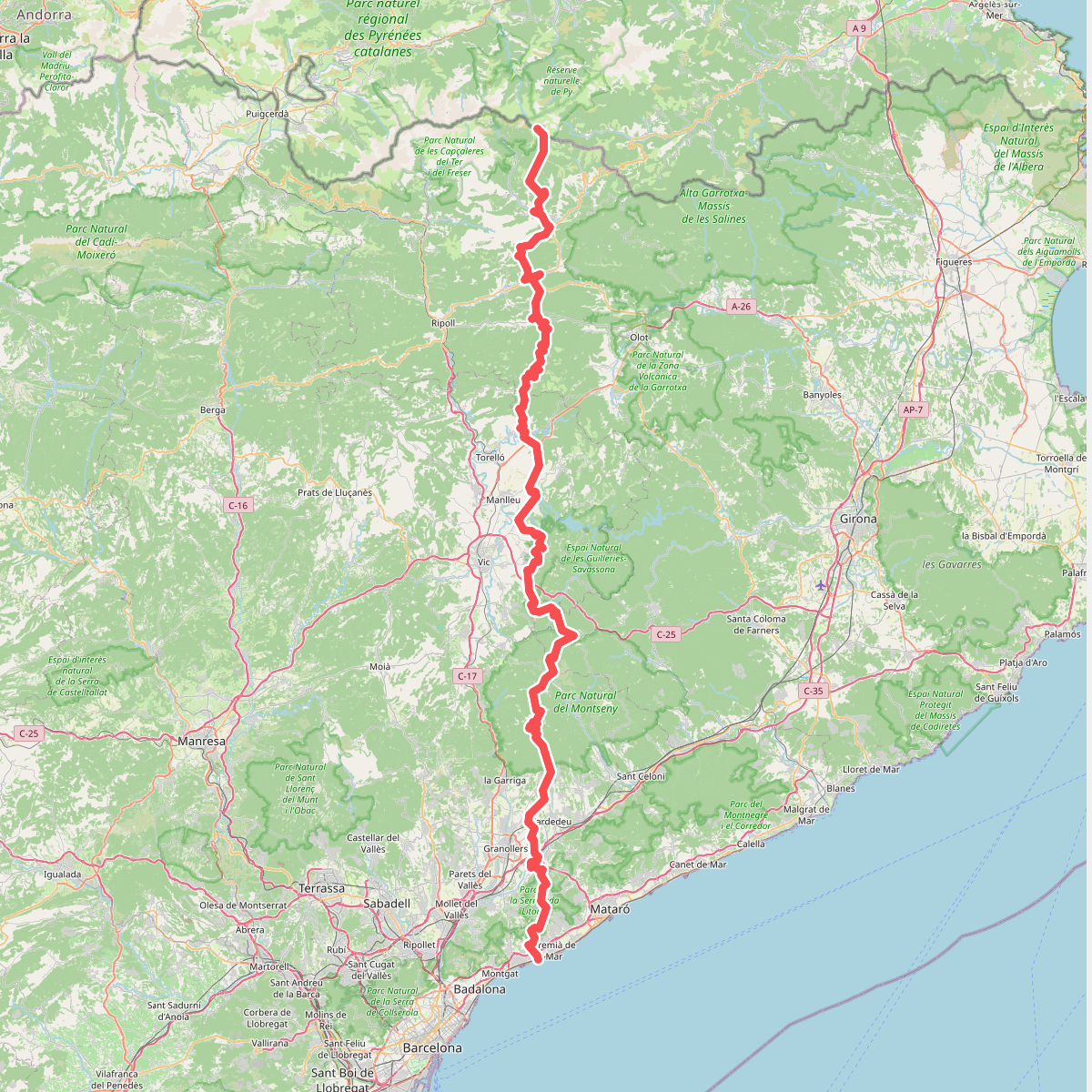
#7. El Meridià Verd
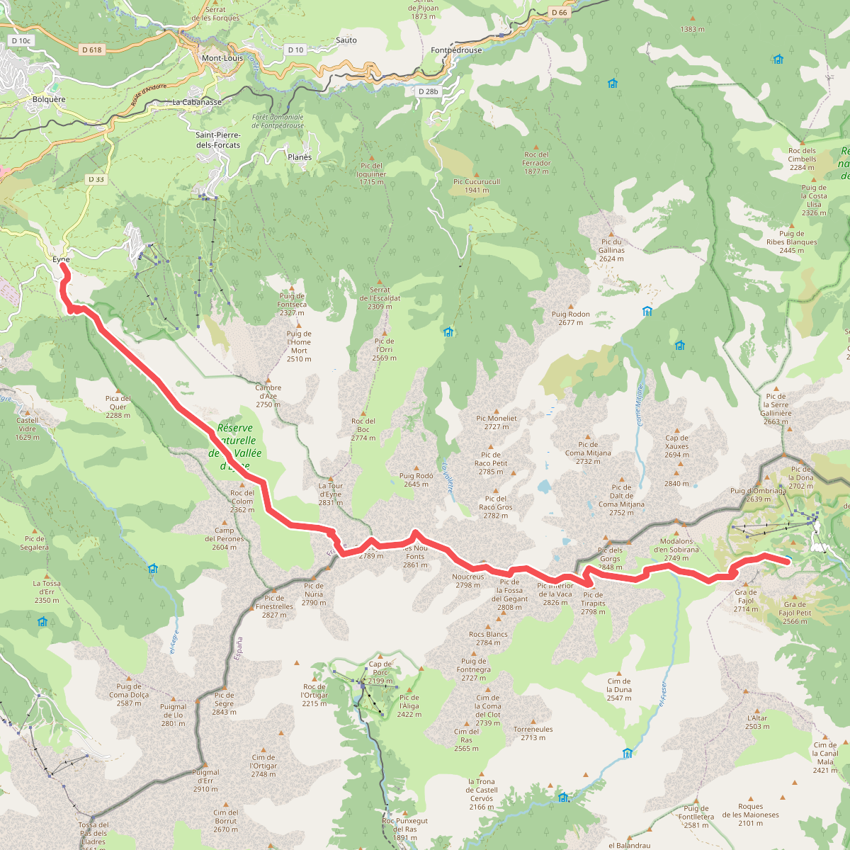
#8. HRP Étape 35
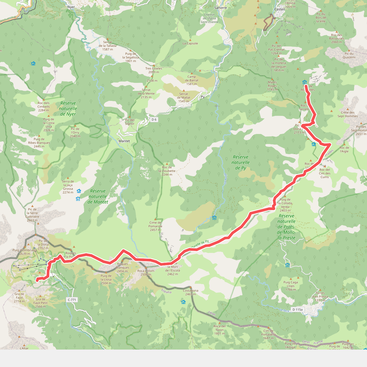
#9. HRP Étape 36
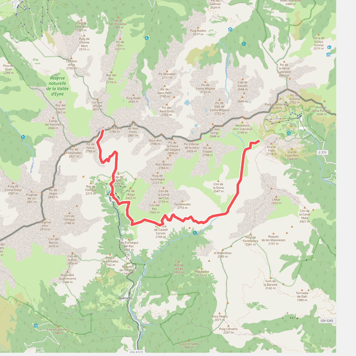
#10. HRP Variante 35.2
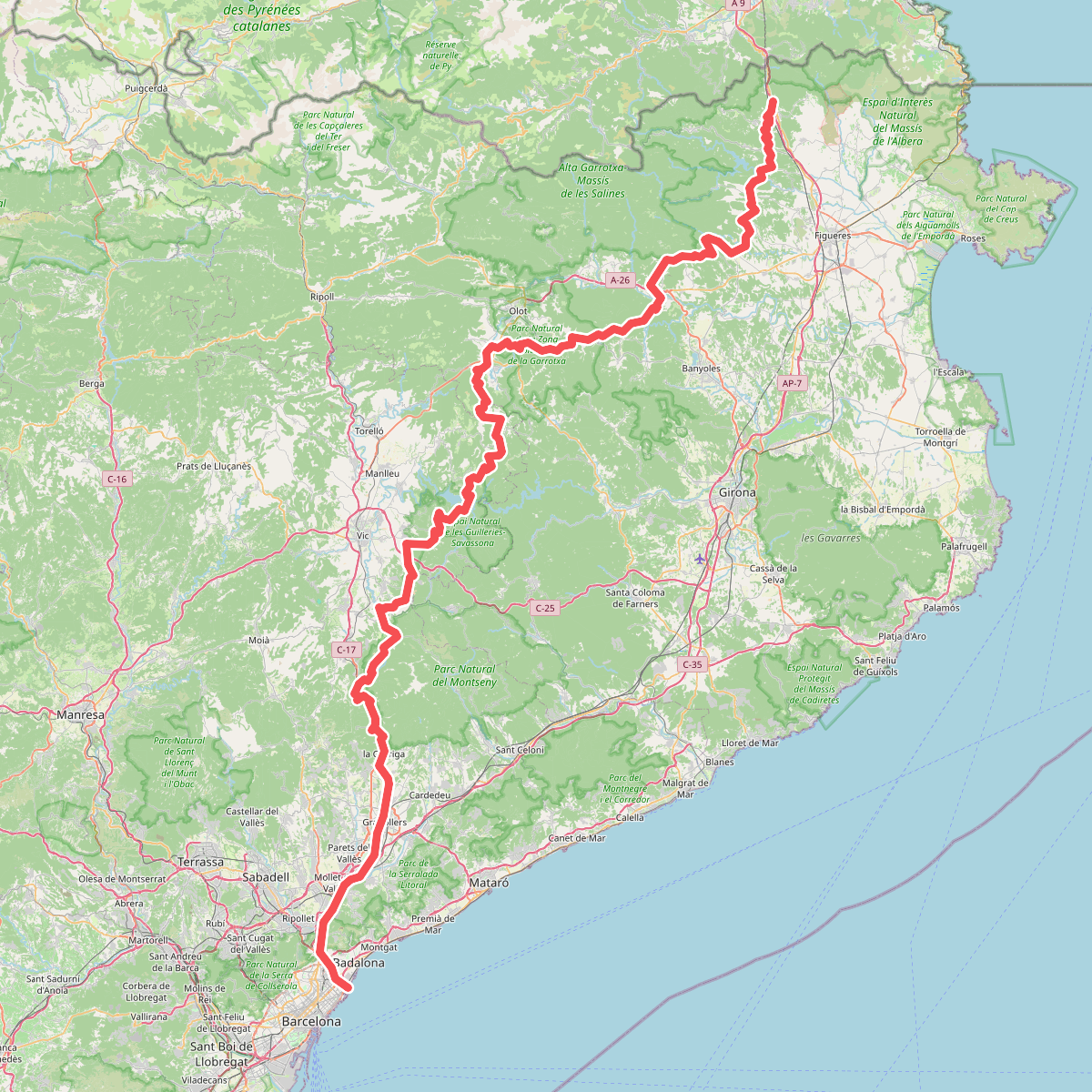
#11. La Jonquera - Sant Adrià del Besós