The best hiking routes in Parc Natural de la Zona Volcànica de la Garrotxa
Discover the best walks in Parc Natural de la Zona Volcànica de la Garrotxa. 29 routes on the map, with descriptions, photos and GPX.
About Parc Natural de la Zona Volcànica de la Garrotxa
The Parc Natural de la Zona Volcànica de la Garrotxa offers a landscape shaped by ancient basaltic flows and forty dormant volcanic cones, now completely covered by dense vegetation. Unlike the high, jagged peaks of the nearby Pyrenees, this terrain consists of low, rounded hills and deep basins. Walkers will notice the dark, crumbly volcanic soil underfoot, which contrasts sharply with the rich green of the canopy. The area is heavily forested, dominated by holm oaks on the sunnier slopes and damp beech woods in the valleys.
Read more
About Parc Natural de la Zona Volcànica de la Garrotxa
The Parc Natural de la Zona Volcànica de la Garrotxa offers a landscape shaped by ancient basaltic flows and forty dormant volcanic cones, now completely covered by dense vegetation. Unlike the high, jagged peaks of the nearby Pyrenees, this terrain consists of low, rounded hills and deep basins. Walkers will notice the dark, crumbly volcanic soil underfoot, which contrasts sharply with the rich green of the canopy. The area is heavily forested, dominated by holm oaks on the sunnier slopes and damp beech woods in the valleys.
Read moreThe Parc Natural de la Zona Volcànica de la Garrotxa offers a landscape shaped by ancient basaltic flows and forty dormant volcanic cones, now completely covered by dense vegetation. Unlike the high, jagged peaks of the nearby Pyrenees, this terrain consists of low, rounded hills and deep basins. Walkers will notice the dark, crumbly volcanic soil underfoot, which contrasts sharply with the rich green of the canopy. The area is heavily forested, dominated by holm oaks on the sunnier slopes and damp beech woods in the valleys.
Your choice of path determines the landscape you experience. Lower trails, such as those entering the famous Fageda d'en Jordà beech forest, run over flat, undulating lava flows where the ground is soft with leaf litter and the canopy blocks out most direct light. In contrast, climbing the slopes of cones like Santa Margarida or Croscat brings you onto steeper, loose volcanic gravel and lapilli. The Croscat crater features a dramatic clay-colored slice from past quarrying, revealing the internal layers of the volcano directly from the walking track.
In November, the beech forests turn a deep rust-brown, drawing many visitors to the central flat sectors, while the higher, oak-covered ridges remain green and offer quieter walking routes. The paths are generally well-graded, but the volcanic grit can be slippery on descent. This is a sheltered, intimate landscape of enclosed valleys and woodland paths, rather than one of wide mountain vistas.
Hiking routes in Parc Natural de la Zona Volcànica de la Garrotxa (29)
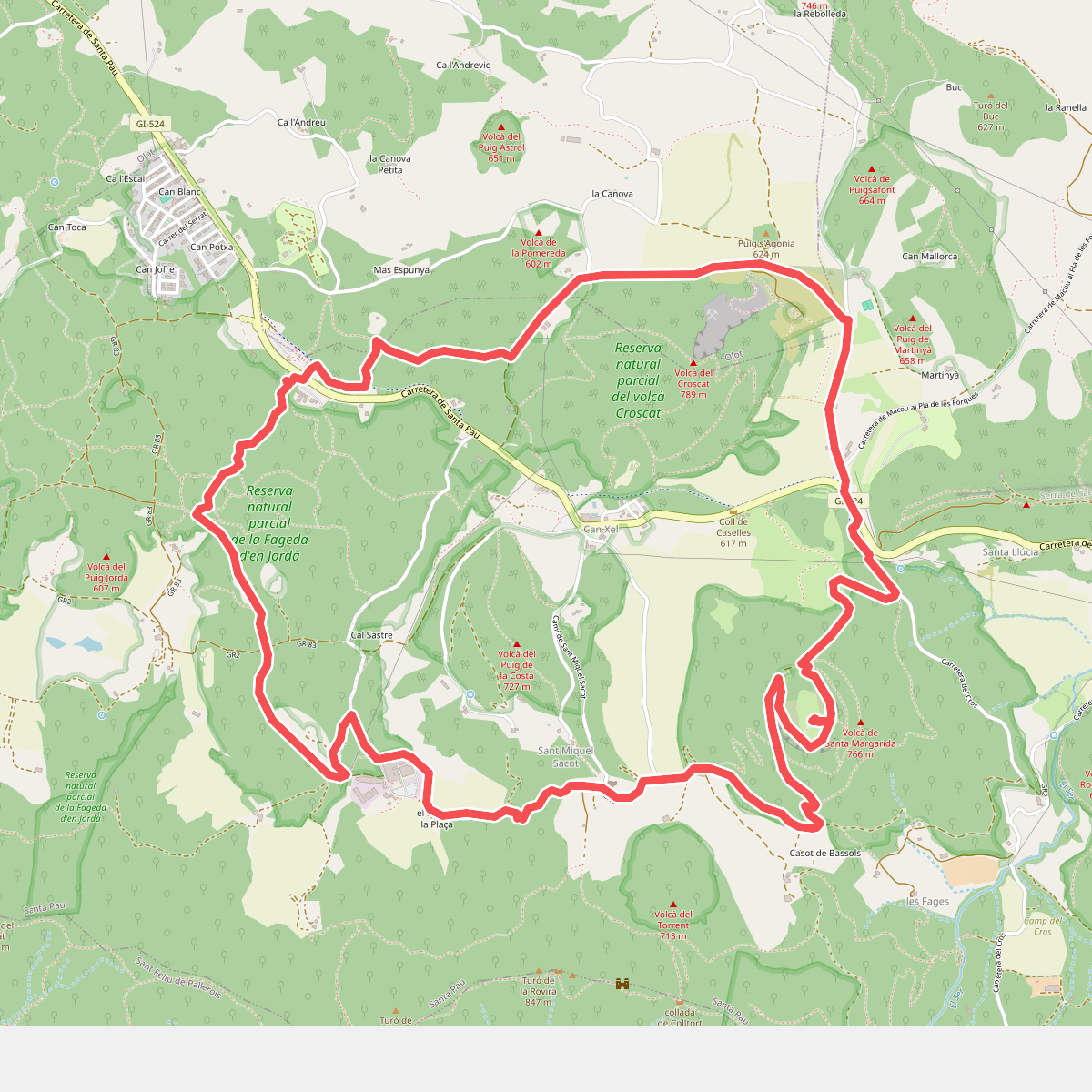
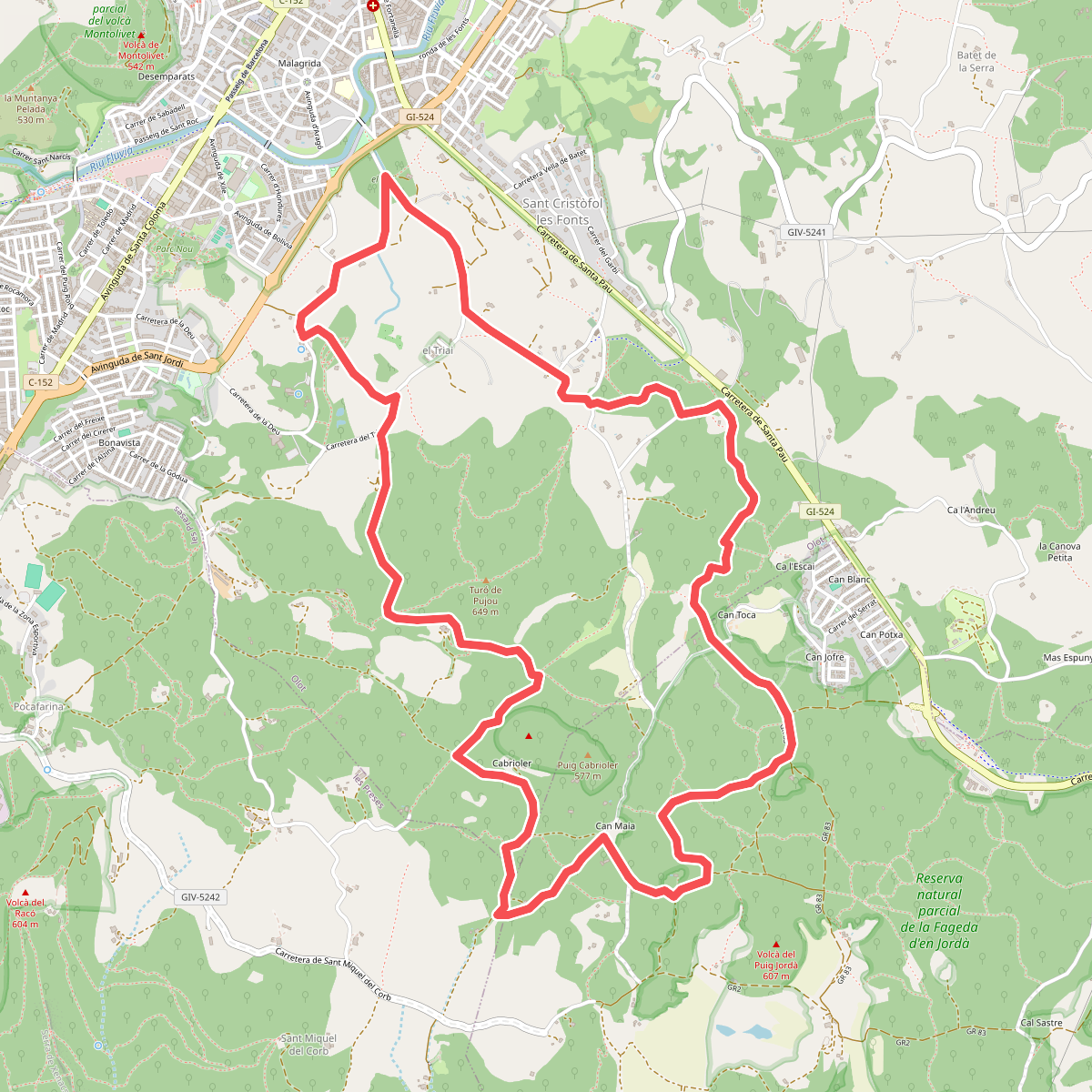
#1. 1 Fageda d'en Jordà - Volcà de Santa Margarida - Volcà del Croscat
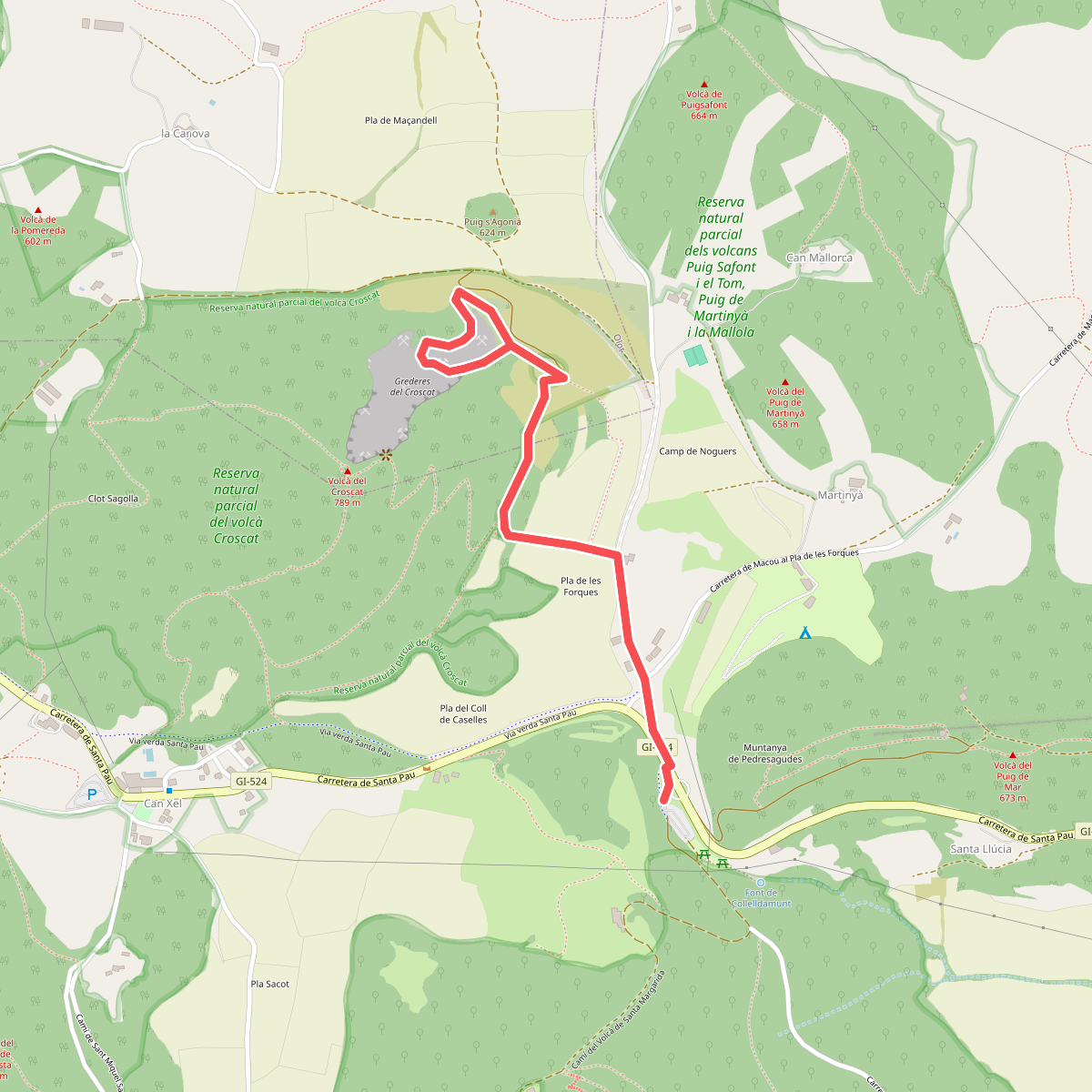
#2. 15 Grederes del volcà Croscat
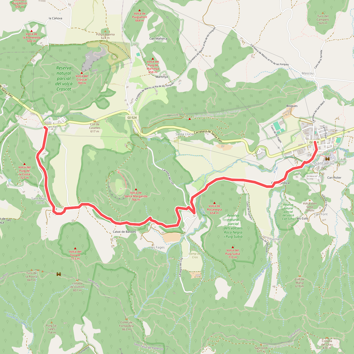
#3. 3 Tram Santa Pau - Volcà de Santa Margarida - Can Xel
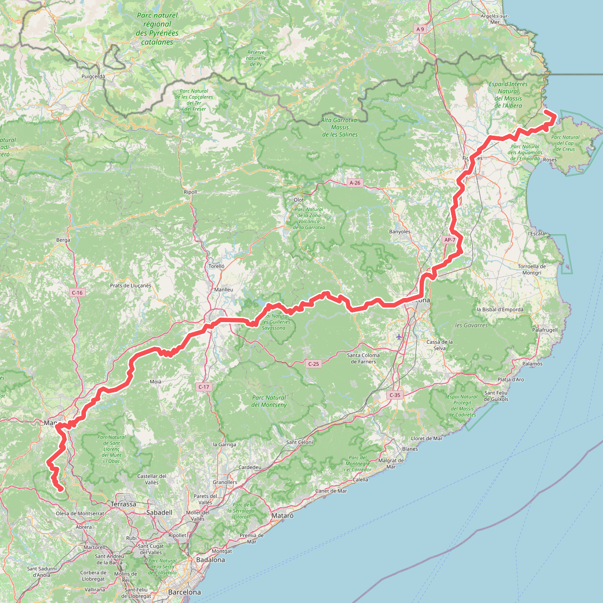
#4. Camí de Sant Jaume (Sant Pere de Rodes - Montserrat)
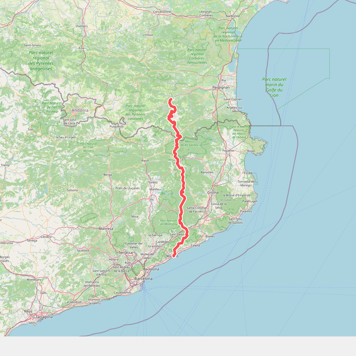
#5. Camí del nord o del Canigó
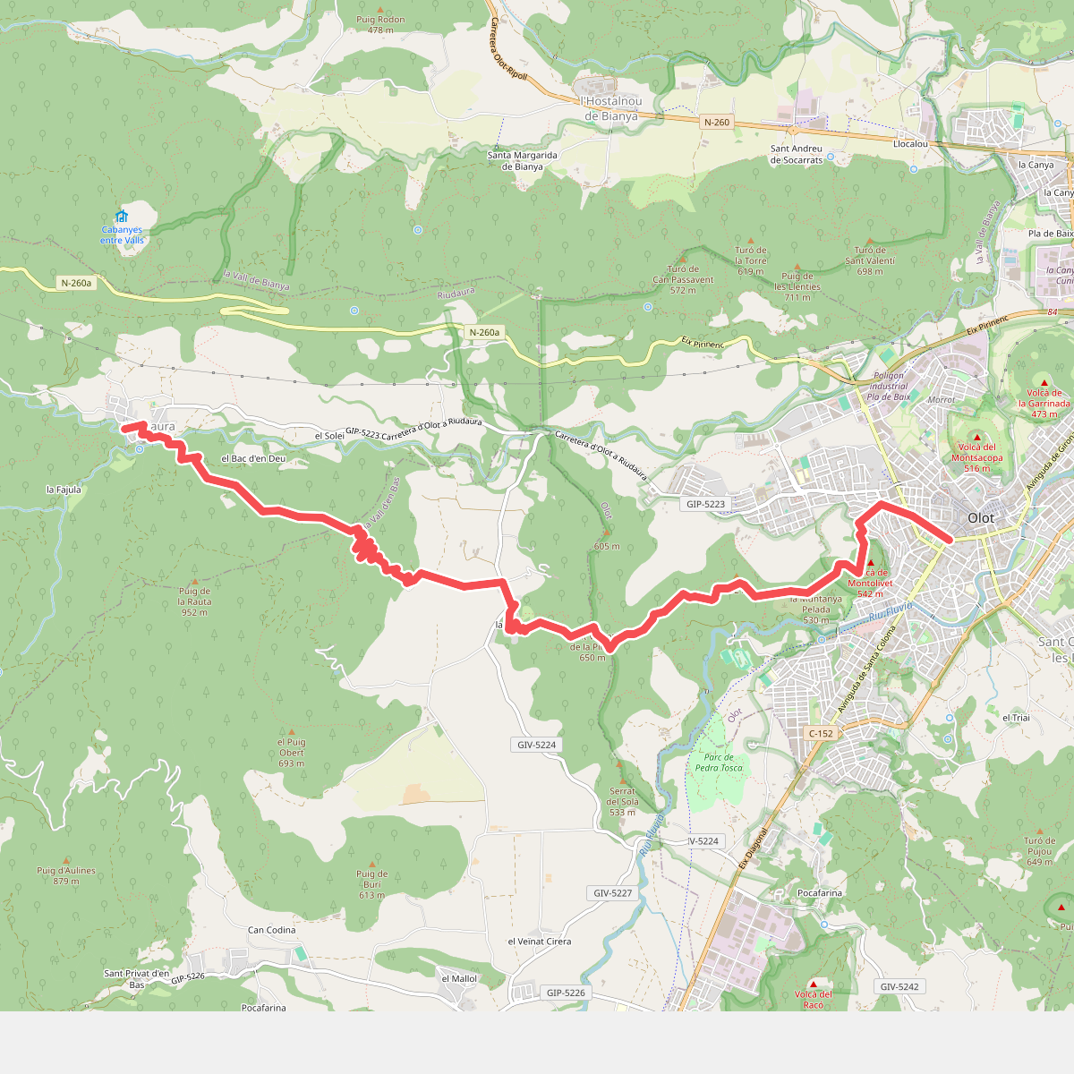
#6. Camí dels Carlins
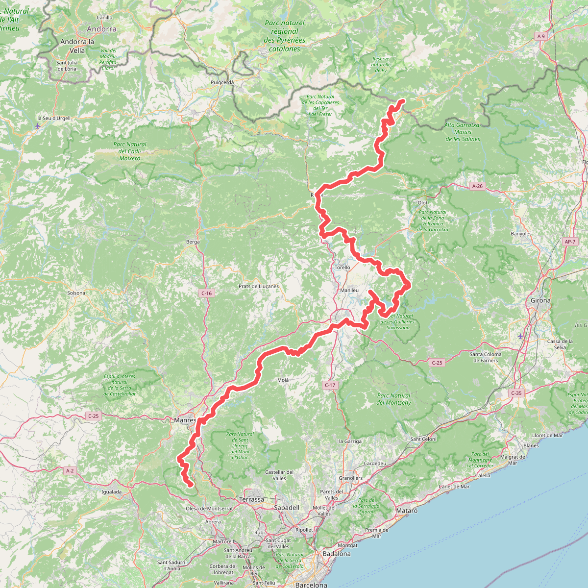
#7. Camí Oliba
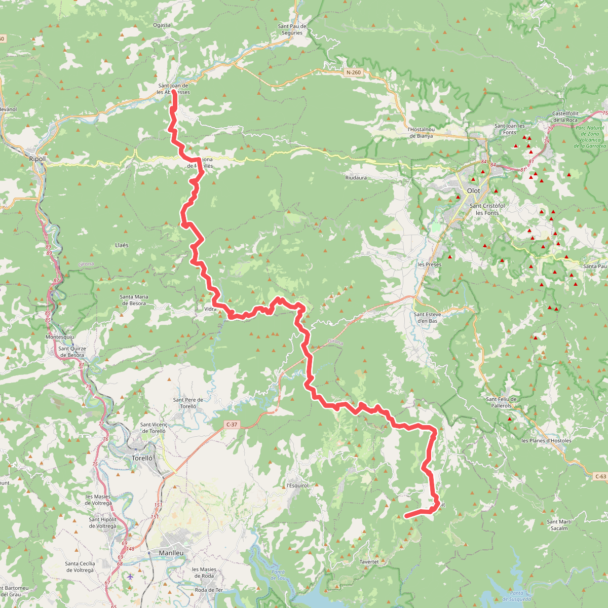
#8. Camí Oliba. Variant Rajols - Sant Joan de les Abadesses
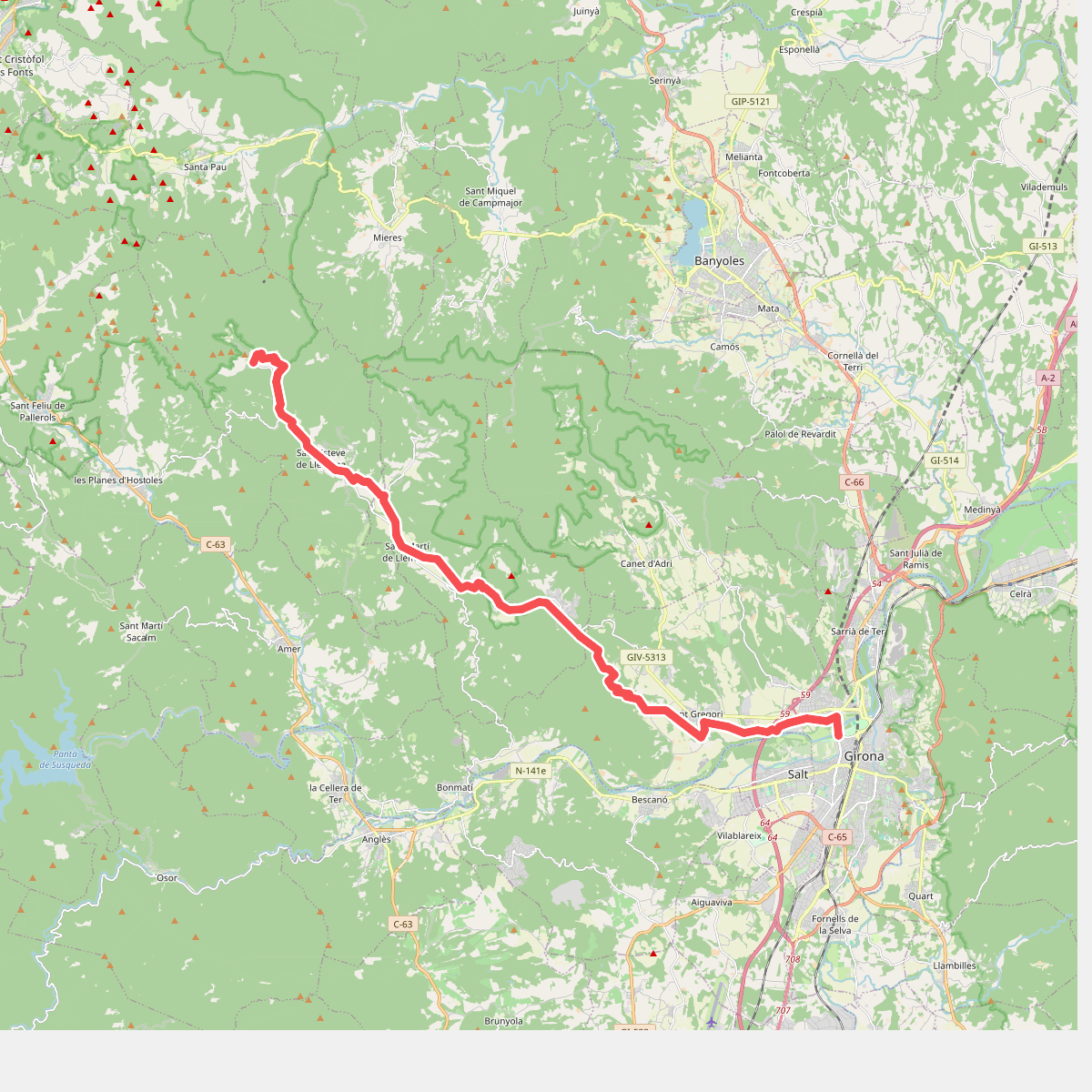
#9. Camí ral de la Vall de Llémena
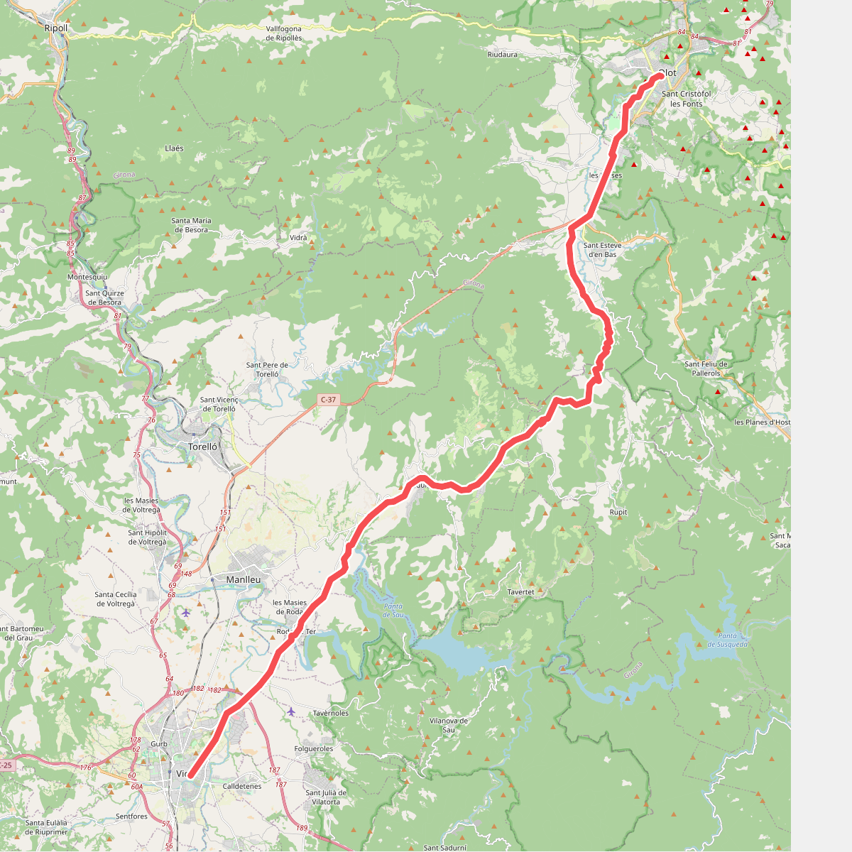
#10. Camí Ral de Vic a Olot
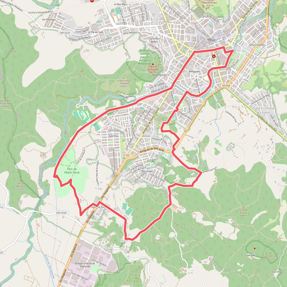
#11. Camins de Pedra Tosca