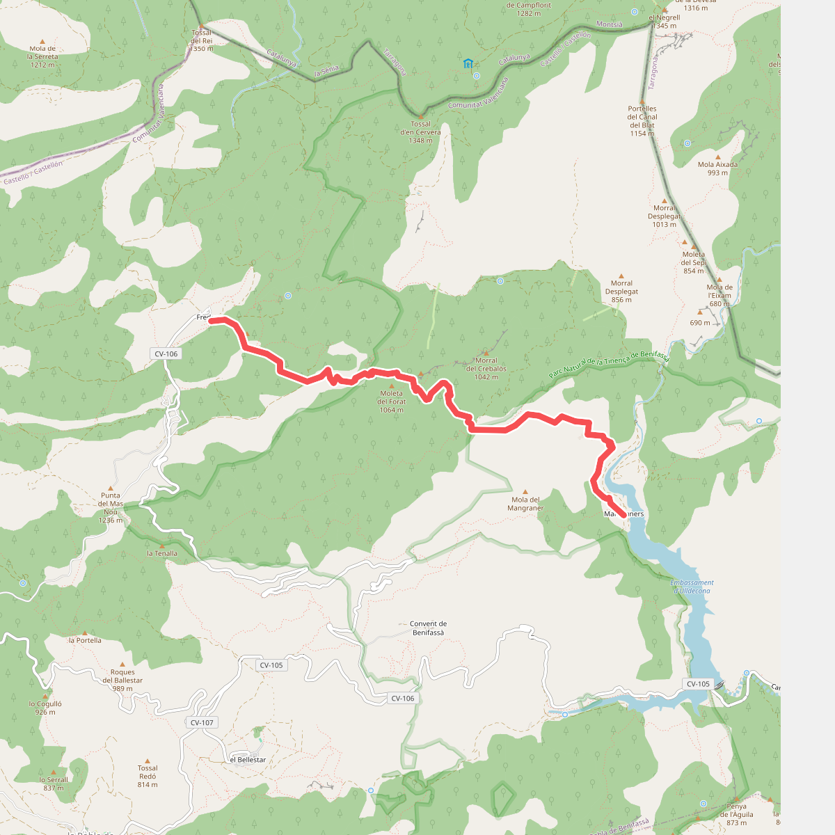
The best hiking routes in Parc Natural de la Tinença de Benifassà
Discover the best walks in Parc Natural de la Tinença de Benifassà. 7 routes on the map, with descriptions, photos and GPX.
About Parc Natural de la Tinença de Benifassà
Parc Natural de la Tinença de Benifassà is a rugged, limestone mountain landscape in the northernmost corner of the Valencian Community, where the Iberian System meets the Catalan Mediterranean System. Unlike the flat coastal plains nearby, this area is defined by steep cliffs, deep ravines, and dense forests of Scots pine, black pine, and holm oak. The terrain is rocky and demanding, with paths that transition quickly from loose limestone scree to hard-packed clay tracks under the canopy. Walkers will notice how the vegetation changes sharply between the humid, shady ravines and the dry, exposed limestone crags.
Read more
About Parc Natural de la Tinença de Benifassà
Parc Natural de la Tinença de Benifassà is a rugged, limestone mountain landscape in the northernmost corner of the Valencian Community, where the Iberian System meets the Catalan Mediterranean System. Unlike the flat coastal plains nearby, this area is defined by steep cliffs, deep ravines, and dense forests of Scots pine, black pine, and holm oak. The terrain is rocky and demanding, with paths that transition quickly from loose limestone scree to hard-packed clay tracks under the canopy. Walkers will notice how the vegetation changes sharply between the humid, shady ravines and the dry, exposed limestone crags.
Read moreParc Natural de la Tinença de Benifassà is a rugged, limestone mountain landscape in the northernmost corner of the Valencian Community, where the Iberian System meets the Catalan Mediterranean System. Unlike the flat coastal plains nearby, this area is defined by steep cliffs, deep ravines, and dense forests of Scots pine, black pine, and holm oak. The terrain is rocky and demanding, with paths that transition quickly from loose limestone scree to hard-packed clay tracks under the canopy. Walkers will notice how the vegetation changes sharply between the humid, shady ravines and the dry, exposed limestone crags.
Water plays a central role in how you navigate the park. The Senia river and its tributaries have carved deep canyons into the limestone, and the blue waters of the Ulldecona reservoir mark the southern entrance to the valleys. On the higher slopes, the landscape opens up into limestone pavements and scrubland dominated by rosemary and gorse. The paths here are often ancient mule tracks, built with dry-stone retaining walls that still hold the hillsides together, showing how isolated these mountain villages were for centuries.
This is a landscape of high limestone cliffs and forested valleys rather than alpine peaks or grassy meadows. The walking is physically demanding due to the constant elevation changes and the rough, stony ground underfoot, which requires sturdy footwear. While the lower paths near the reservoir can be busier on spring weekends, the higher trails leading toward the abandoned villages and limestone arches remain quiet, offering a direct encounter with a dry, Mediterranean mountain environment.
Hiking routes in Parc Natural de la Tinença de Benifassà (7)
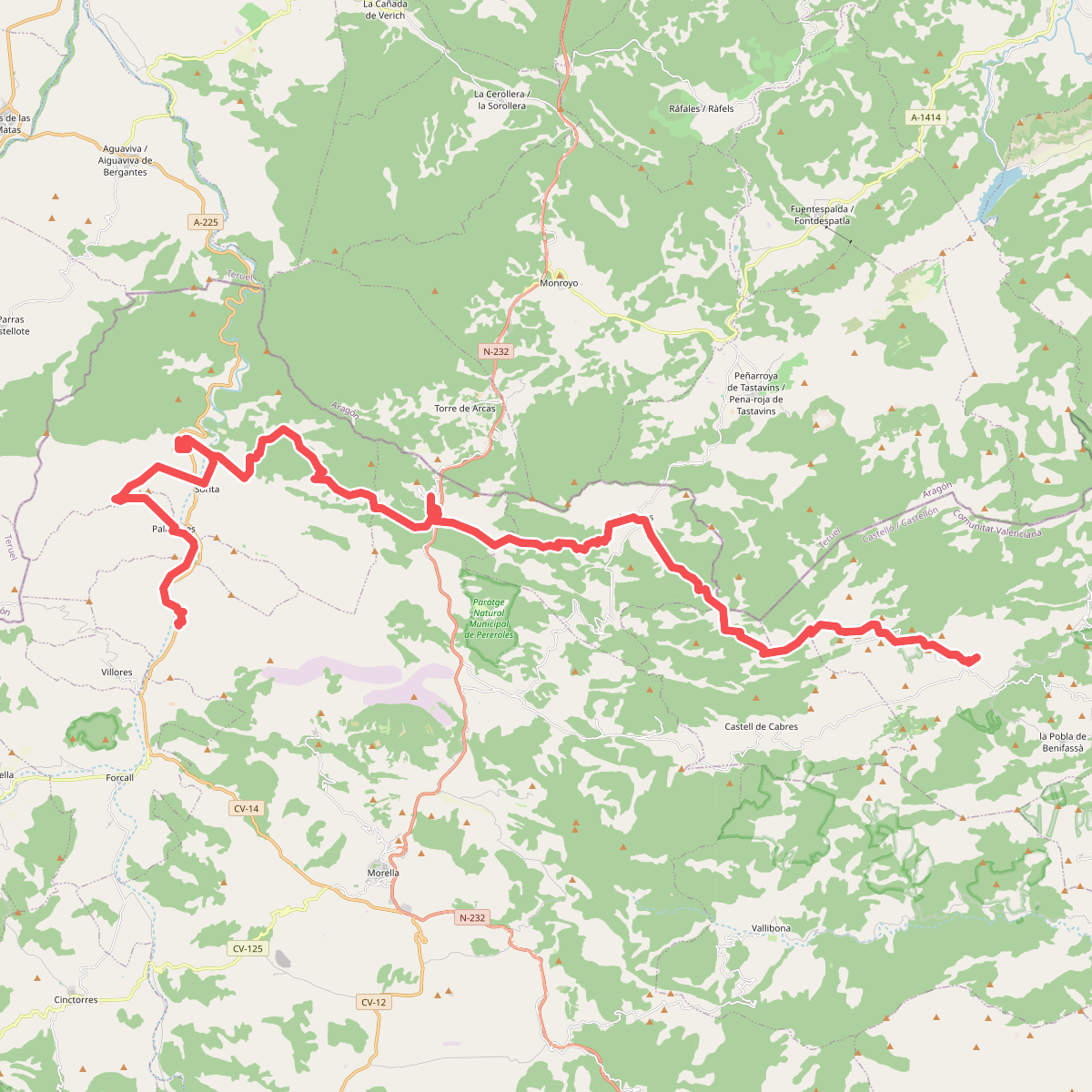
#1. Camí de Conquesta: Variant Nord
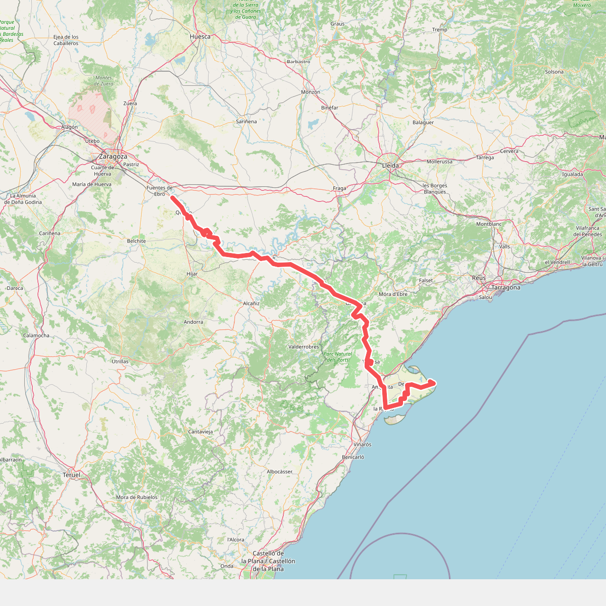
#2. Camí de Sant Jaume
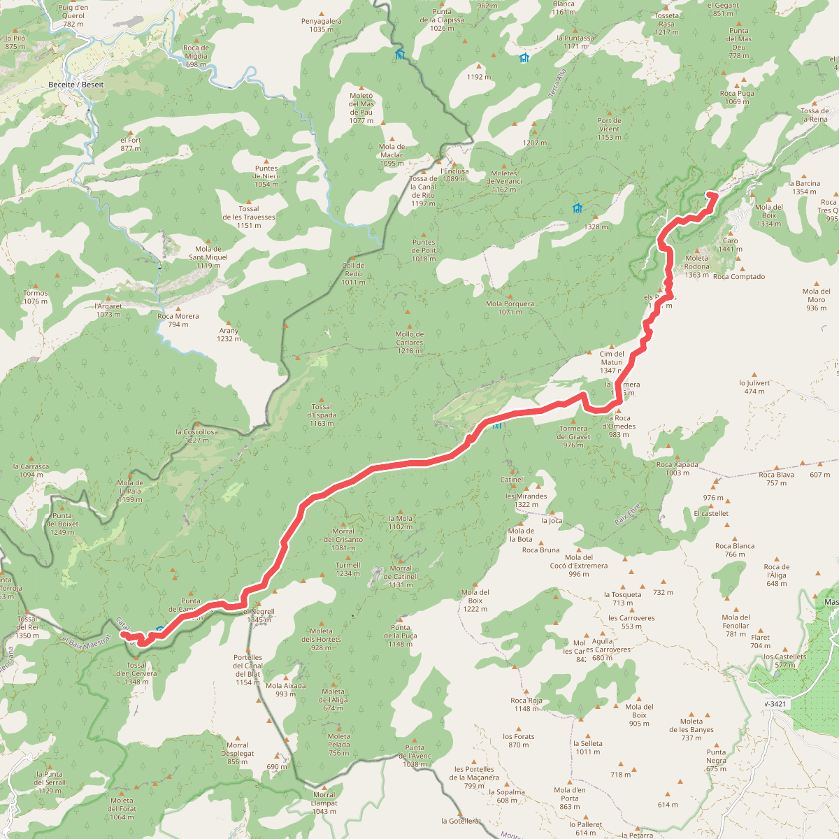
#3. E24
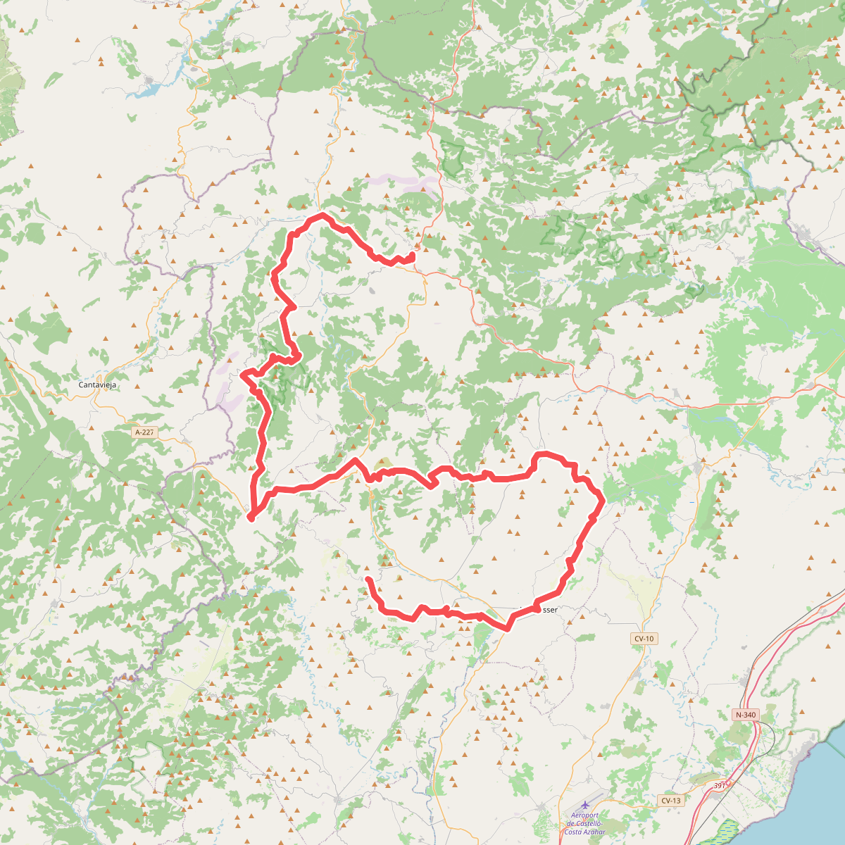
#4. El Camí IT6TR2 El Camí Central: de Castelló de la Plana a Montserrat
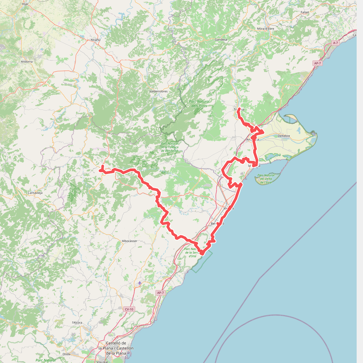
#5. El Camí IT6TR3 El Camí Central: de Castelló de la Plana a Montserrat
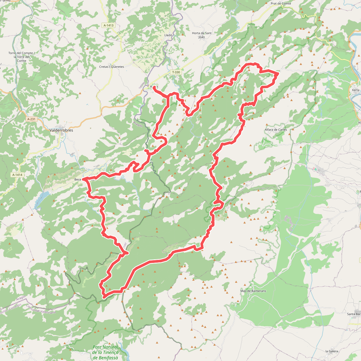
#6. Estels del Sud