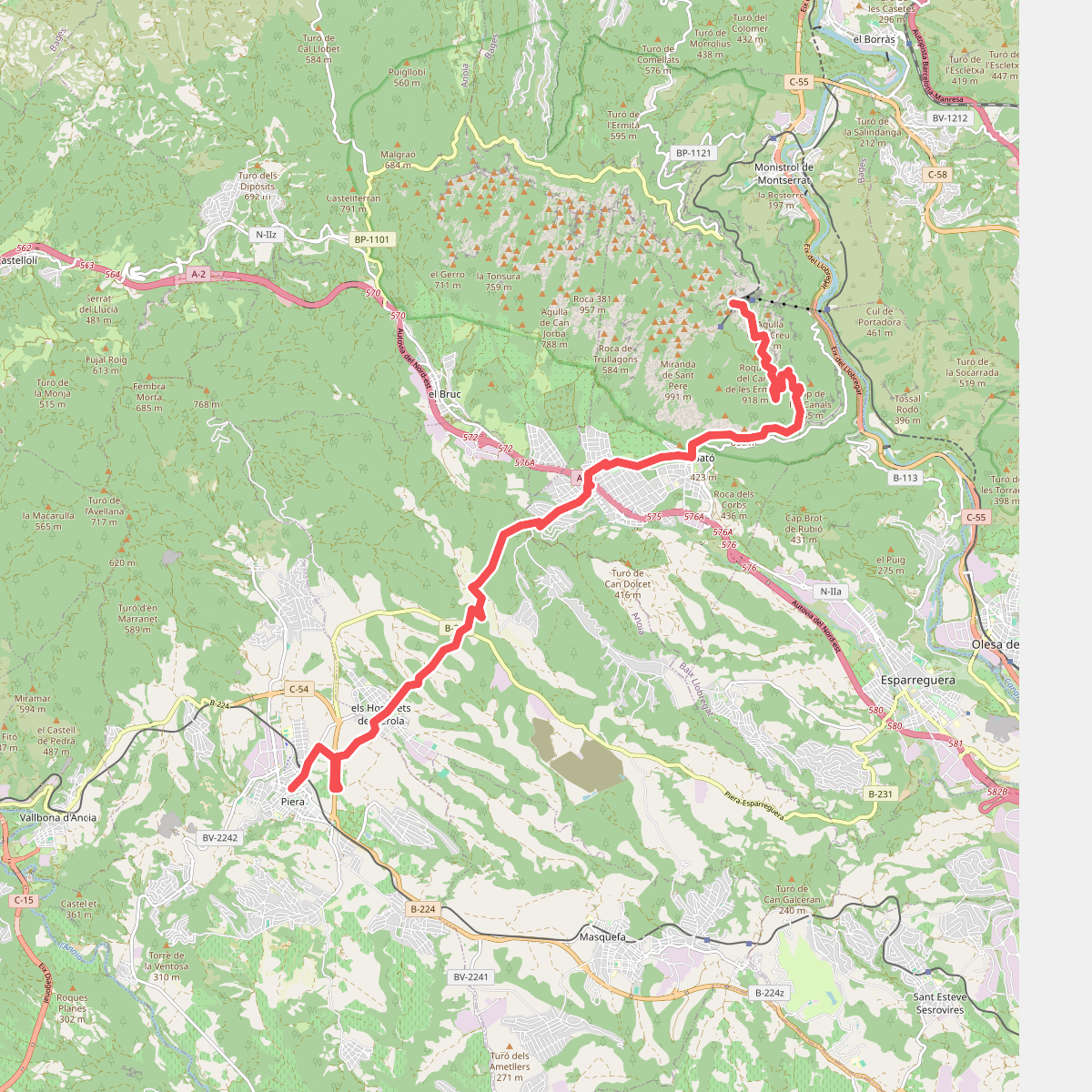
The best hiking routes in Parc Natural de la Muntanya de Montserrat
Discover the best walks in Parc Natural de la Muntanya de Montserrat. 24 routes on the map, with descriptions, photos and GPX.
About Parc Natural de la Muntanya de Montserrat
Parc Natural de la Muntanya de Montserrat is defined by its bare, rounded conglomerate domes that rise abruptly from the surrounding Catalan depression. Unlike typical limestone ranges with sharp ridges, this massif consists of thick layers of pebbles cemented together by a reddish clay matrix, which has eroded into smooth, finger-like pillars. Walkers will find a stark contrast between the exposed, arid rock faces of the upper summits and the dense, evergreen holm oak forests that fill the narrow, shaded ravines below.
Read more
About Parc Natural de la Muntanya de Montserrat
Parc Natural de la Muntanya de Montserrat is defined by its bare, rounded conglomerate domes that rise abruptly from the surrounding Catalan depression. Unlike typical limestone ranges with sharp ridges, this massif consists of thick layers of pebbles cemented together by a reddish clay matrix, which has eroded into smooth, finger-like pillars. Walkers will find a stark contrast between the exposed, arid rock faces of the upper summits and the dense, evergreen holm oak forests that fill the narrow, shaded ravines below.
Read moreParc Natural de la Muntanya de Montserrat is defined by its bare, rounded conglomerate domes that rise abruptly from the surrounding Catalan depression. Unlike typical limestone ranges with sharp ridges, this massif consists of thick layers of pebbles cemented together by a reddish clay matrix, which has eroded into smooth, finger-like pillars. Walkers will find a stark contrast between the exposed, arid rock faces of the upper summits and the dense, evergreen holm oak forests that fill the narrow, shaded ravines below.
Underfoot, the terrain varies from steep, concrete steps and paved pathways near the central monastery to rough, stony tracks and loose gravel on the higher trails. The lower valleys feature clay-heavy soils that support Mediterranean scrub, while the high ridges require walking directly on the bare, grippy conglomerate rock. The trail network is dense, meaning walkers must choose between the highly developed, signposted routes near the main access points and the rugged, unmaintained paths that scramble through the steeper gullies.
This is a vertical landscape of cliffs and deep fissures rather than wide, rolling meadows or gentle woodland paths. The central sanctuary area and the paved paths leading to nearby viewpoints are often busy with visitors, but the crowds thin out significantly once you enter the steeper, forested ravines or head toward the high summits like Sant Jeroni. In May, the flowering shrubs in the understory bring a brief flush of green to the otherwise grey and ochre rock walls.
Hiking routes in Parc Natural de la Muntanya de Montserrat (24)
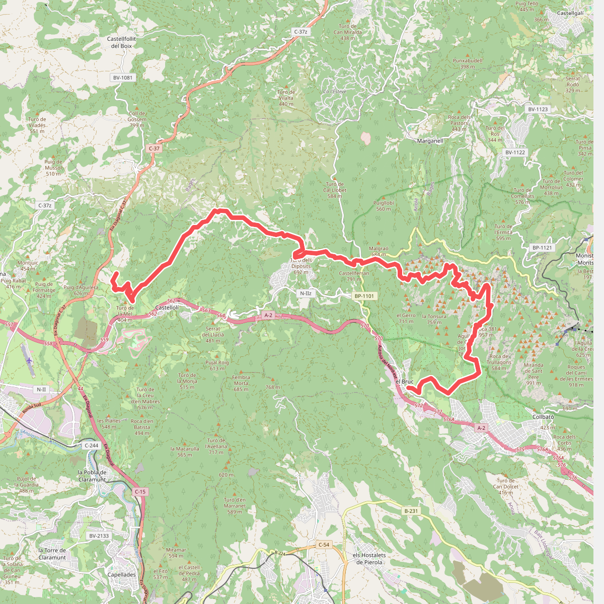
#1. Anoia Montserratina
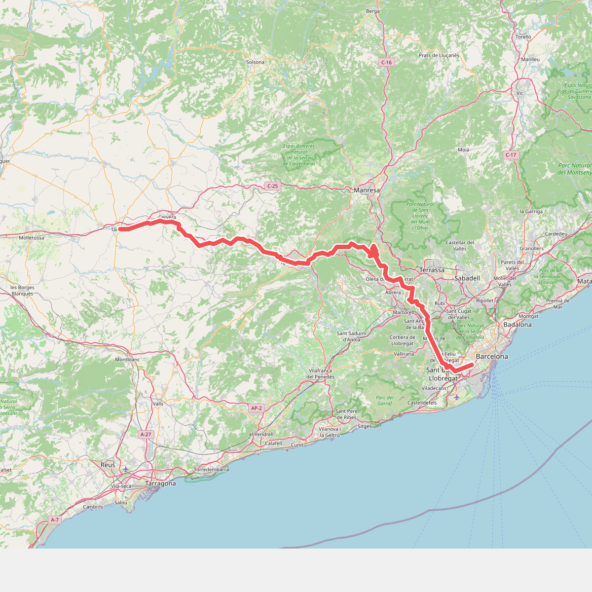
#2. Camí de Sant Jaume (l'Hospitalet - Tàrrega)
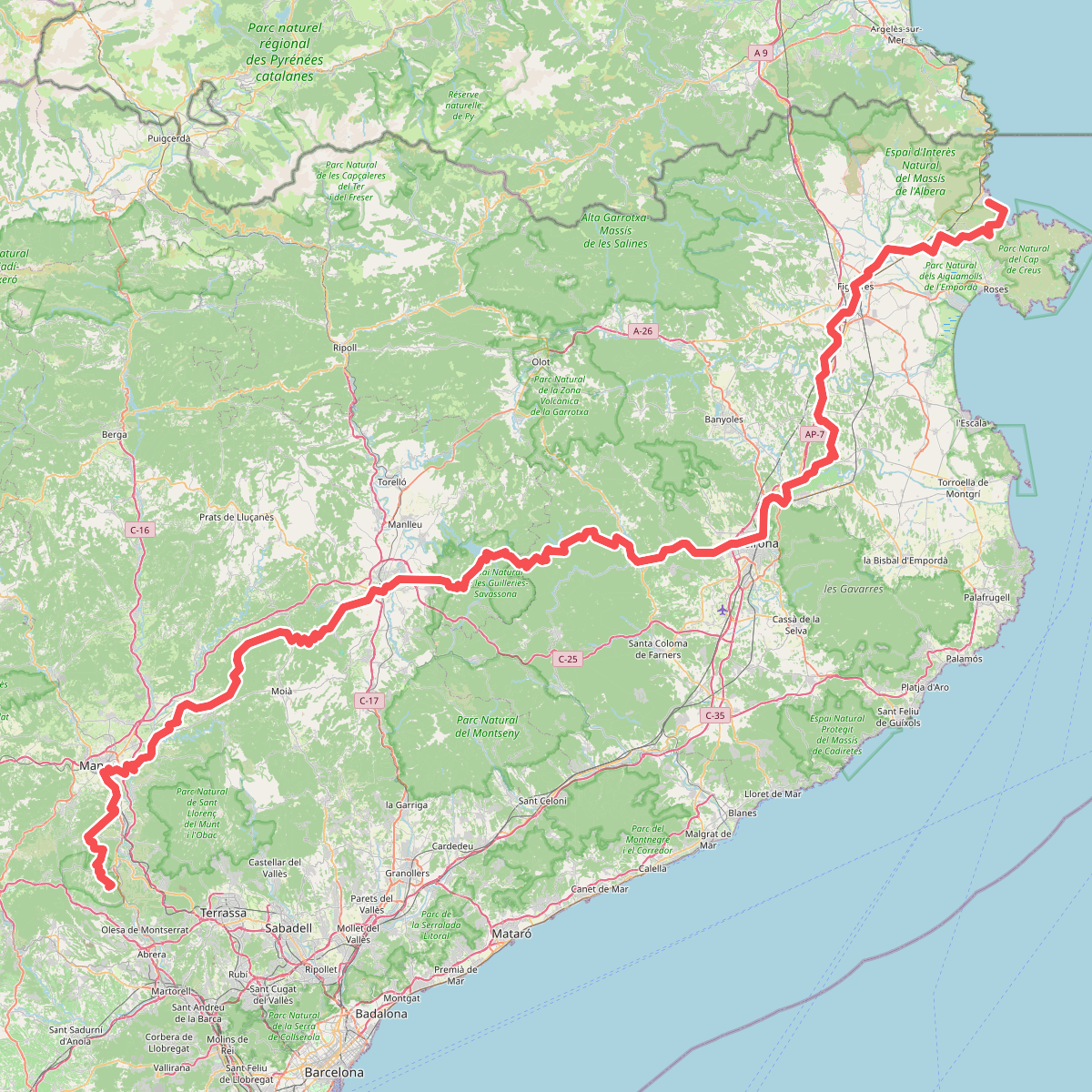
#3. Camí de Sant Jaume (Sant Pere de Rodes - Montserrat)
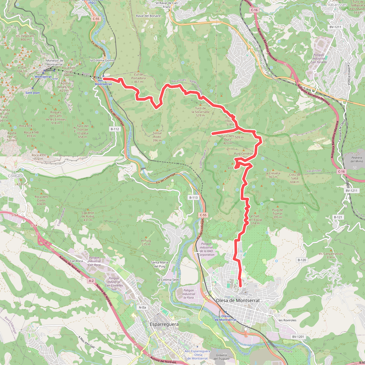
#4. Camí de Sant Salvador de les Espases
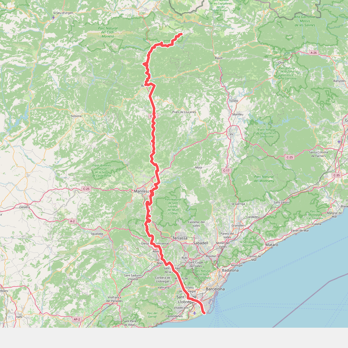
#5. Camí del Llobregat
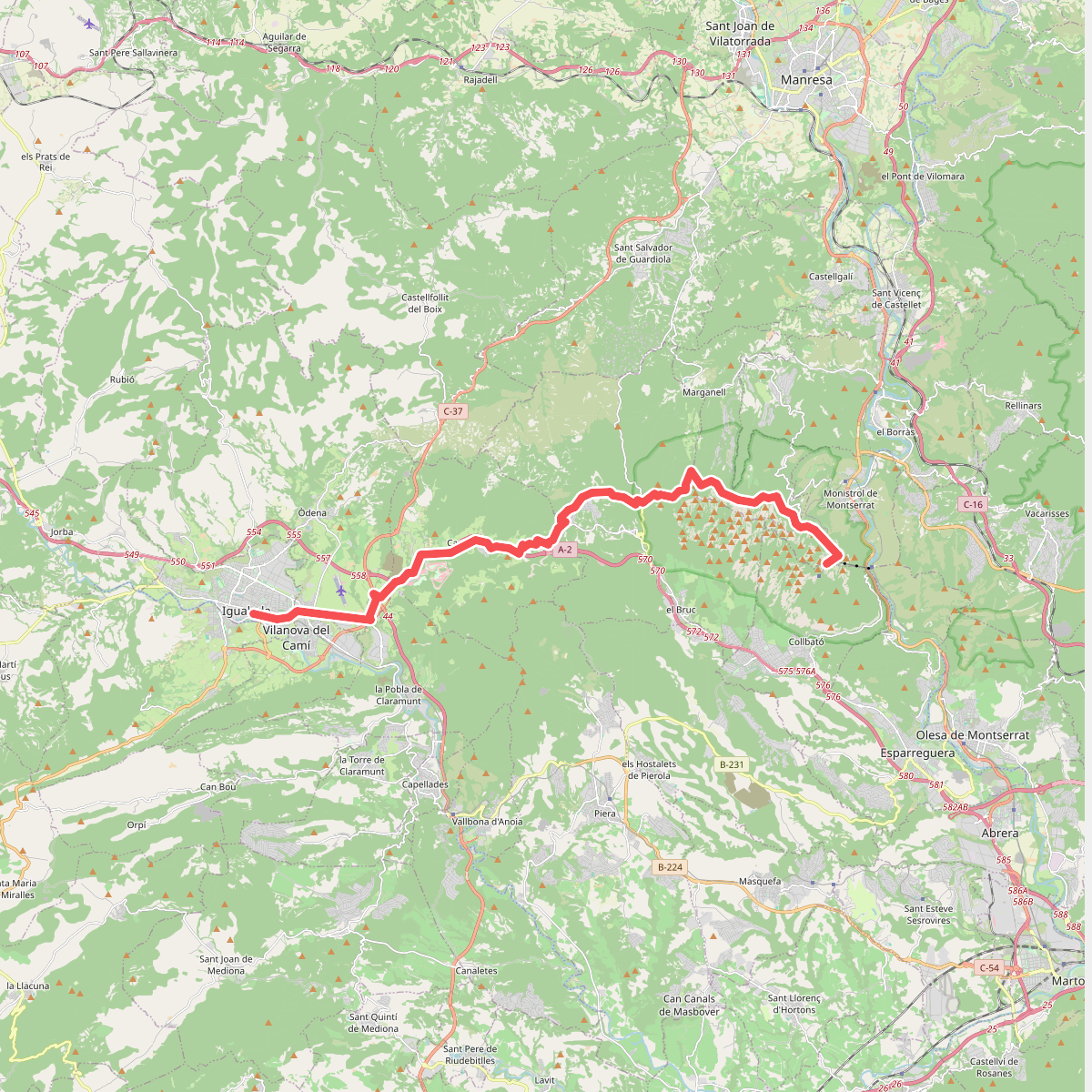
#6. Camí Ignasià Català 6: Igualada - Montserrat
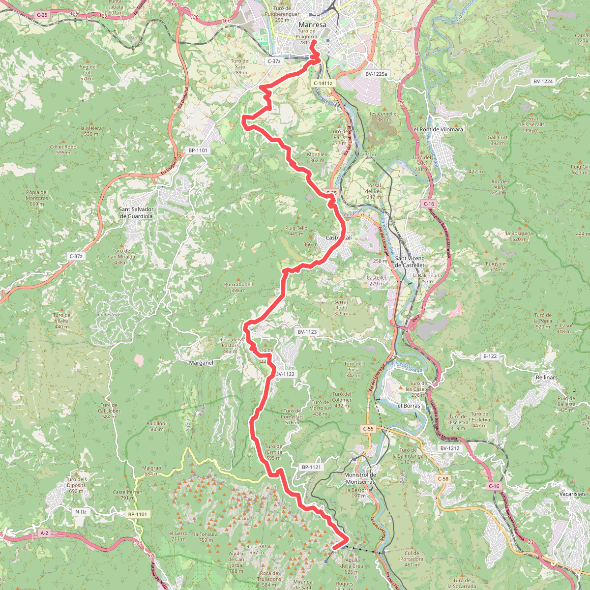
#7. Camí Ignasià Català 7: Montserrat - Manresa
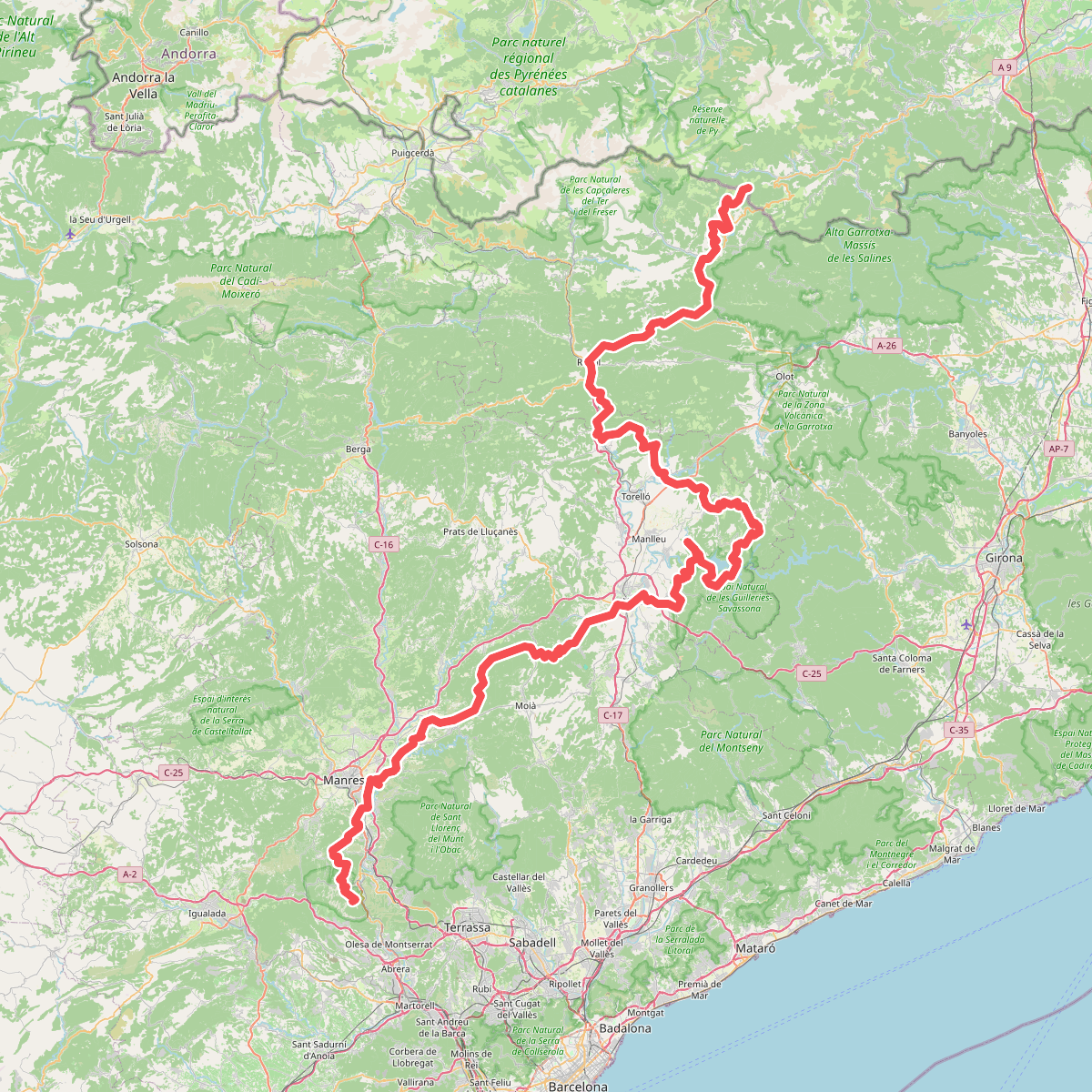
#8. Camí Oliba
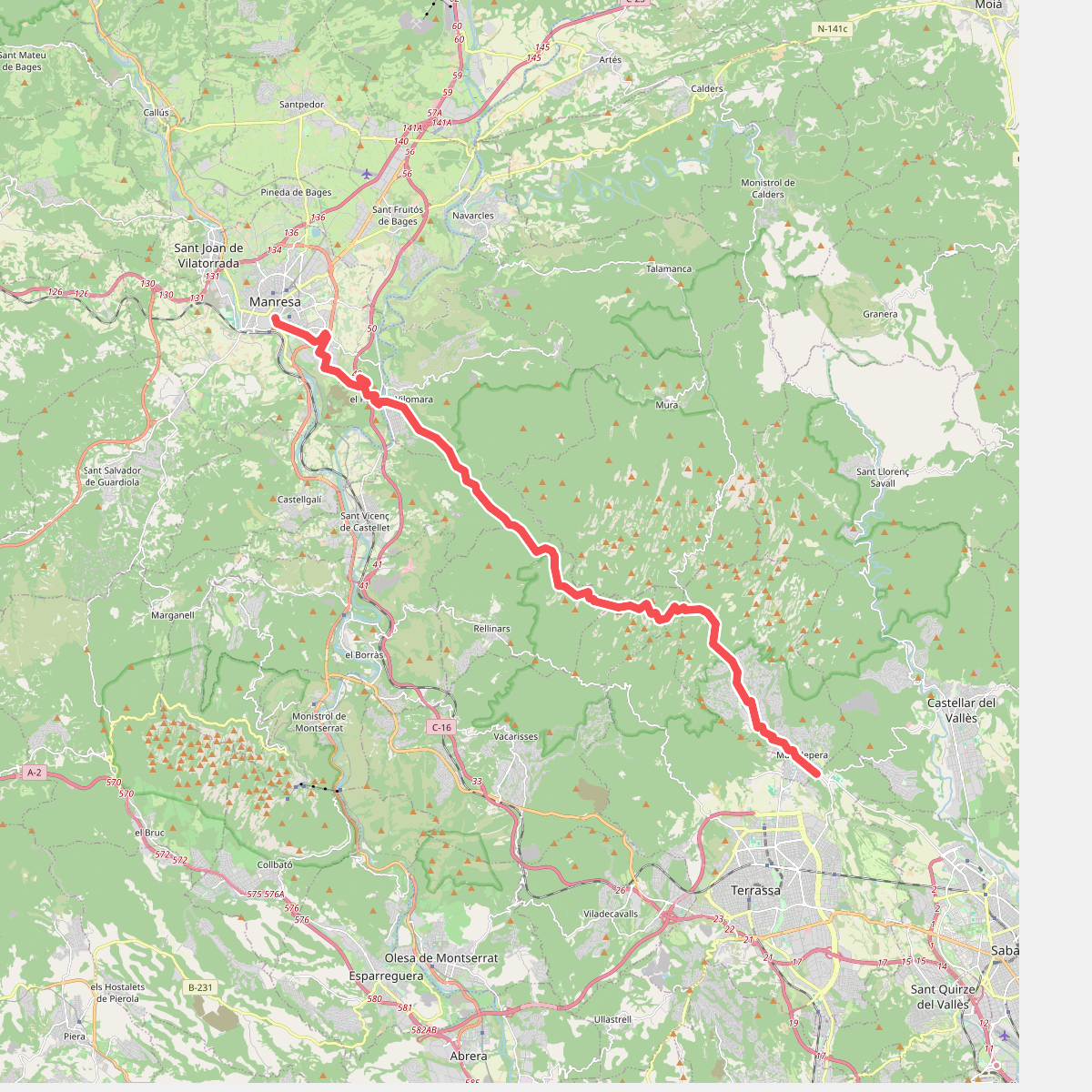
#9. Camí Ral de Barcelona a Manresa
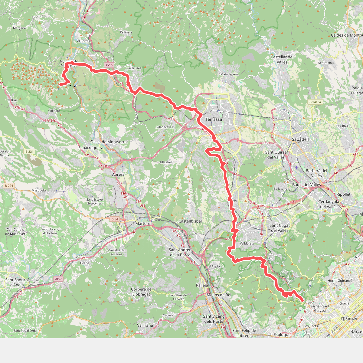
#10. Camí Romeu a Montserrat
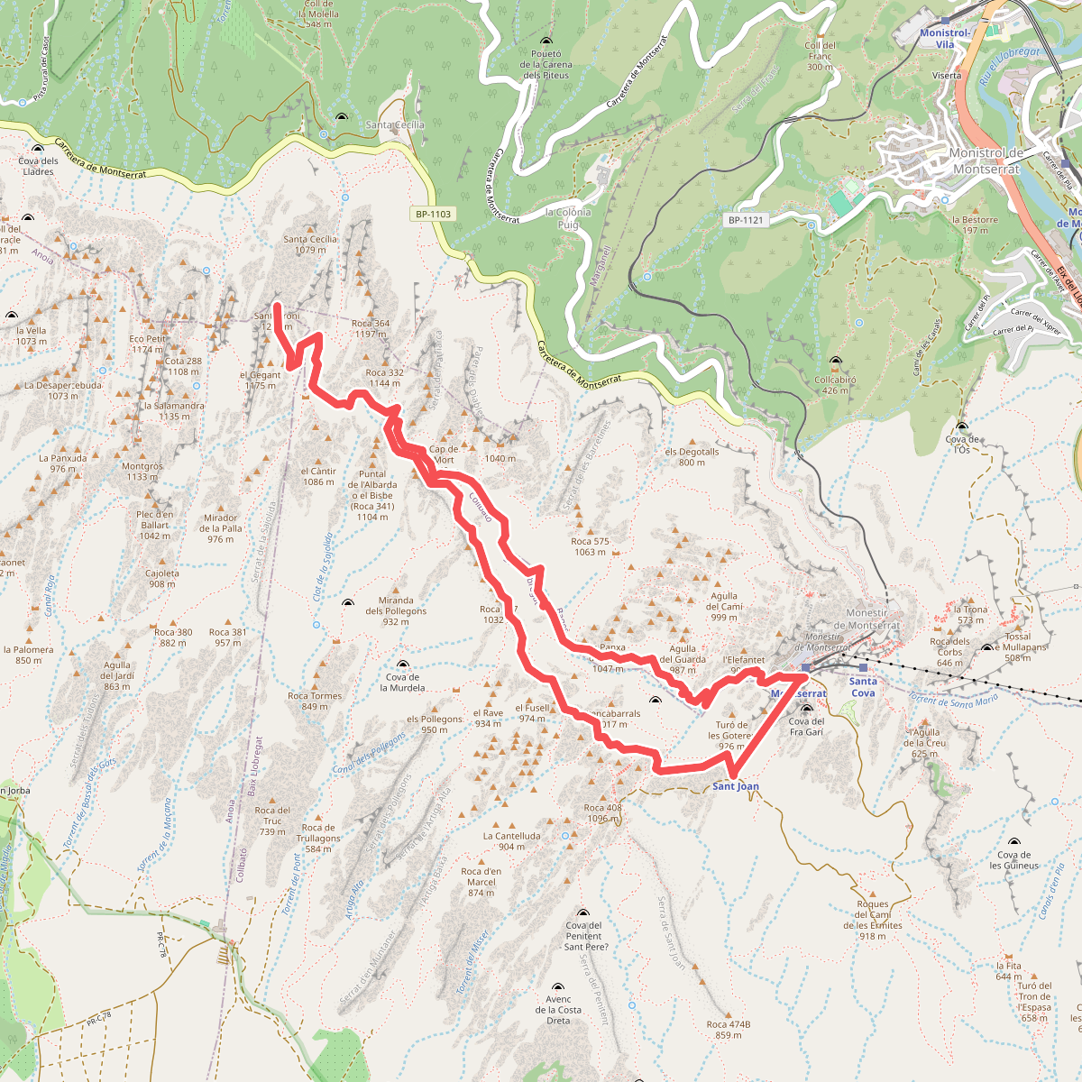
#11. Del Monestir a Sant Jeroni