

The best hiking routes in Parc national de la Vanoise (cœur)
Discover the best walks in Parc national de la Vanoise (cœur). 30 routes on the map, with descriptions, photos and GPX.
About Parc national de la Vanoise (cœur)
Parc national de la Vanoise (cœur) protects a high-altitude alpine zone defined by sharp limestone peaks, dark schist ridges, and extensive glacier systems. Unlike the lower valleys where roads and ski infrastructure dominate, this central zone is strictly protected, meaning you will find no ski lifts, mountain bike trails, or vehicular roads once you cross the boundary. The landscape is shaped by glacial erosion, leaving behind massive moraines, high-altitude lakes like Lac des Vaches, and wide, U-shaped glacial troughs.
Read more
About Parc national de la Vanoise (cœur)
Parc national de la Vanoise (cœur) protects a high-altitude alpine zone defined by sharp limestone peaks, dark schist ridges, and extensive glacier systems. Unlike the lower valleys where roads and ski infrastructure dominate, this central zone is strictly protected, meaning you will find no ski lifts, mountain bike trails, or vehicular roads once you cross the boundary. The landscape is shaped by glacial erosion, leaving behind massive moraines, high-altitude lakes like Lac des Vaches, and wide, U-shaped glacial troughs.
Read moreParc national de la Vanoise (cœur) protects a high-altitude alpine zone defined by sharp limestone peaks, dark schist ridges, and extensive glacier systems. Unlike the lower valleys where roads and ski infrastructure dominate, this central zone is strictly protected, meaning you will find no ski lifts, mountain bike trails, or vehicular roads once you cross the boundary. The landscape is shaped by glacial erosion, leaving behind massive moraines, high-altitude lakes like Lac des Vaches, and wide, U-shaped glacial troughs.
Underfoot, the paths are predominantly rough, stony singletracks, often requiring careful stepping over loose slate, scree, and exposed bedrock. In the higher passes, such as the Col de la Vanoise, hikers cross flat, wet meadows on stone slabs or navigate snowfields that persist well into July. The terrain is steep and demanding, with significant elevation gains required to reach the high passes, contrasting sharply with the gentler, forested slopes found outside the park boundary.
While the lower access points near Pralognan-la-Vanoise or Termignon can be busy with day hikers in August, the higher interior trails offer a more austere, rocky environment. Here, the vegetation is limited to dwarf willows, alpine grasses, and lichens clinging to the rock. Walkers should expect a mineral landscape where the natural processes of rockfall and glacial melt are visible right beside the trail.
Hiking routes in Parc national de la Vanoise (cœur) (30)
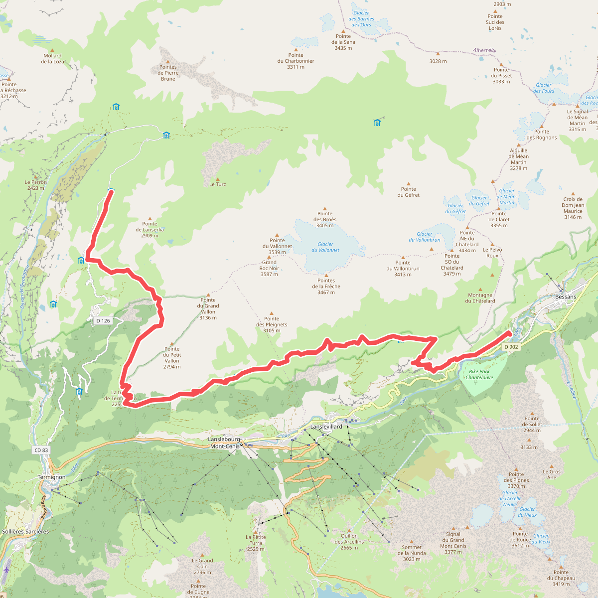
#1. Bessans - Refuge du Plan du Lac · GR5 etappe 86
Bessans,Val-Cenis
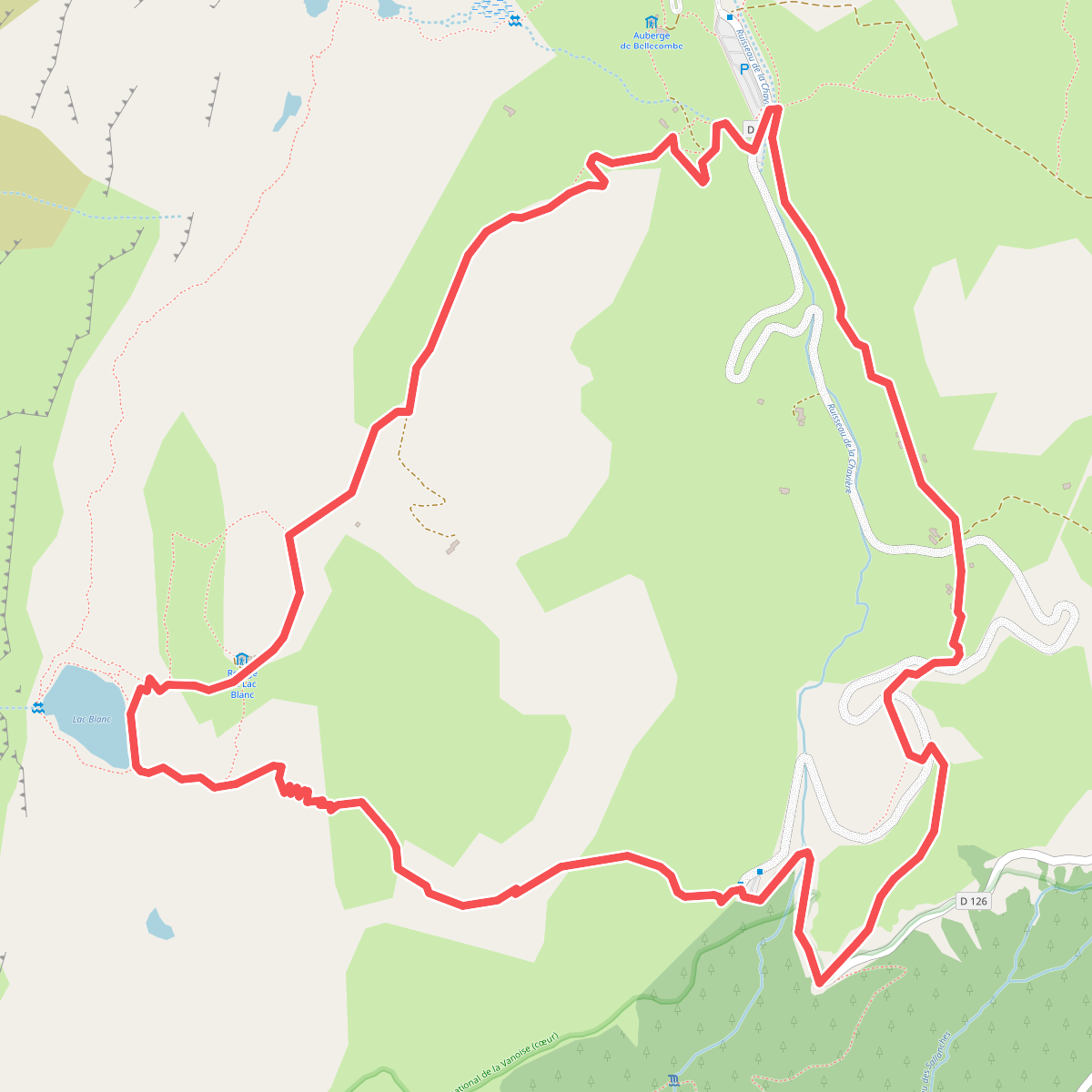
#2. Boucle du Lac Blanc
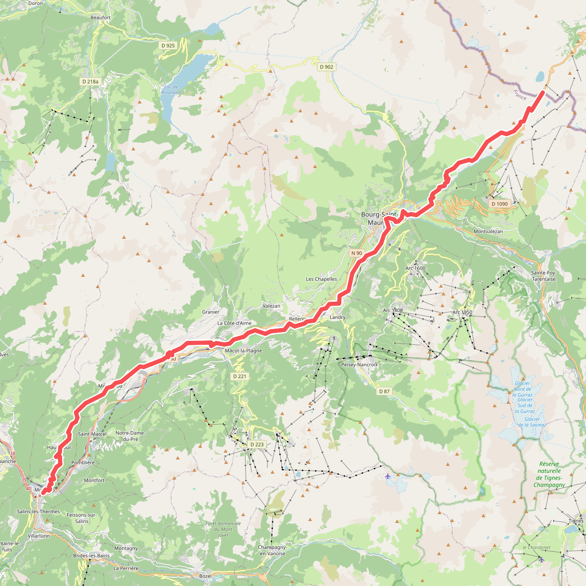
#3. Chemin de Szombathely, Col du Petit Saint-Bernard - Moûtiers
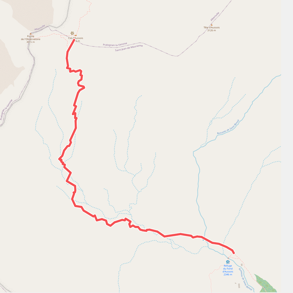
#4. Col d'Aussois · Deelroute
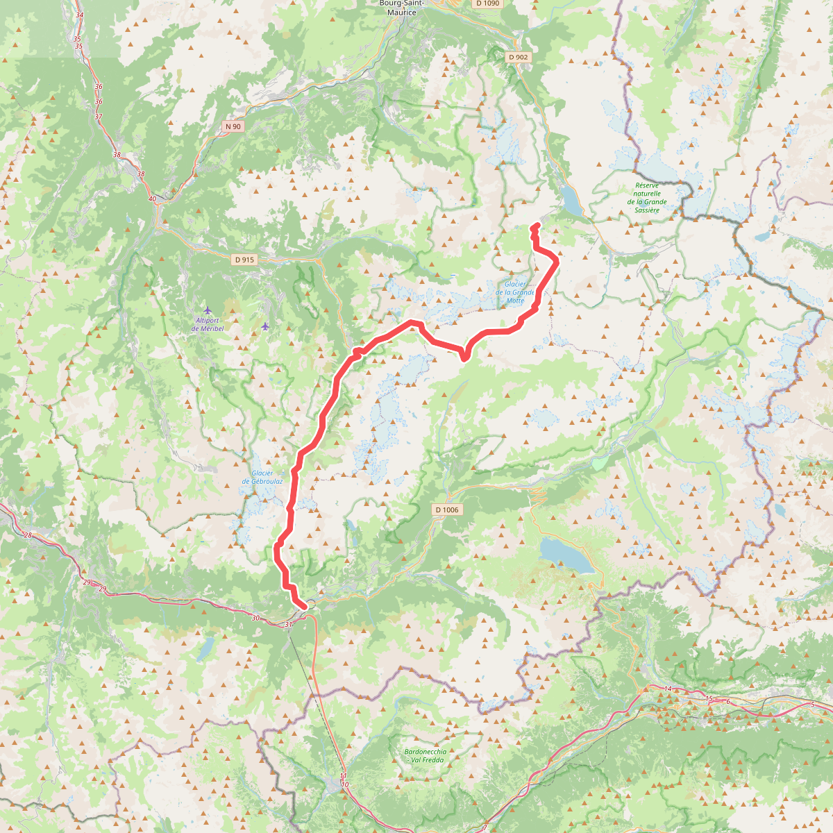
#5. GR 55 La Vanoise
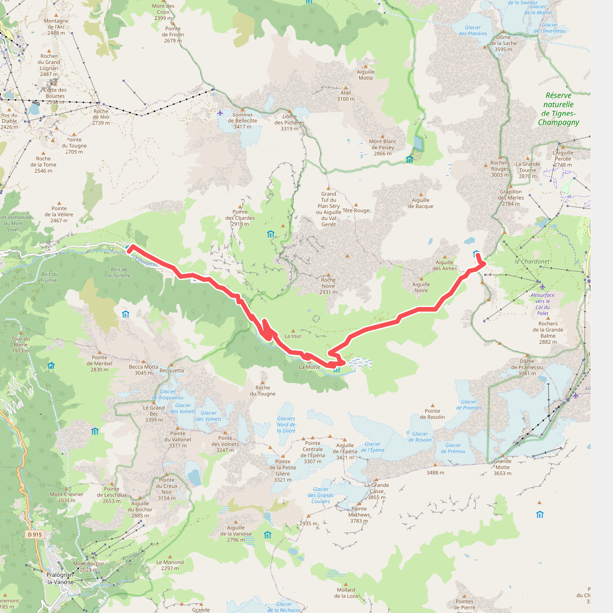
#6. Grand Tour de Tarentaise - 2. Refuge du Col du Palet -> Champagny-le-Haut
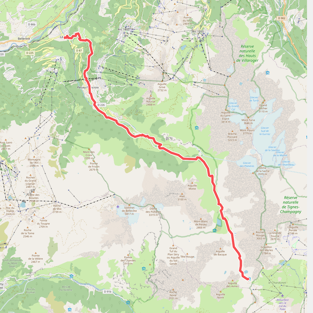
#7. Landry - Refuge du Col du Palet · GR5 etappe 83
Landry,Peisey-Nancroix
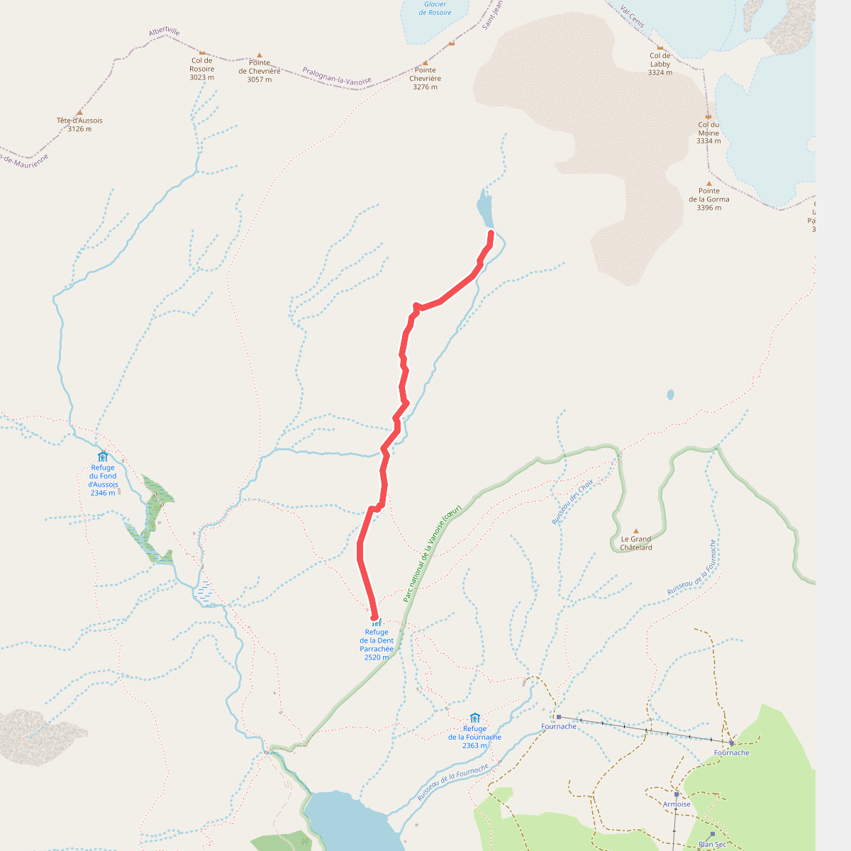
#8. Le Lac du Génépy · Deelroute
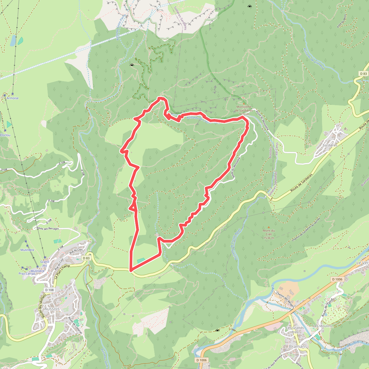
#9. Le Monolithe
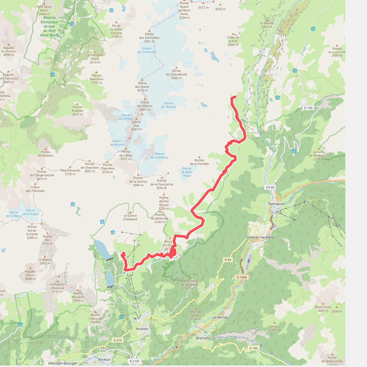
#10. Refuge de l'Arpont - Refuge du Pl... · GR5 etappe 88
Val-Cenis,Aussois
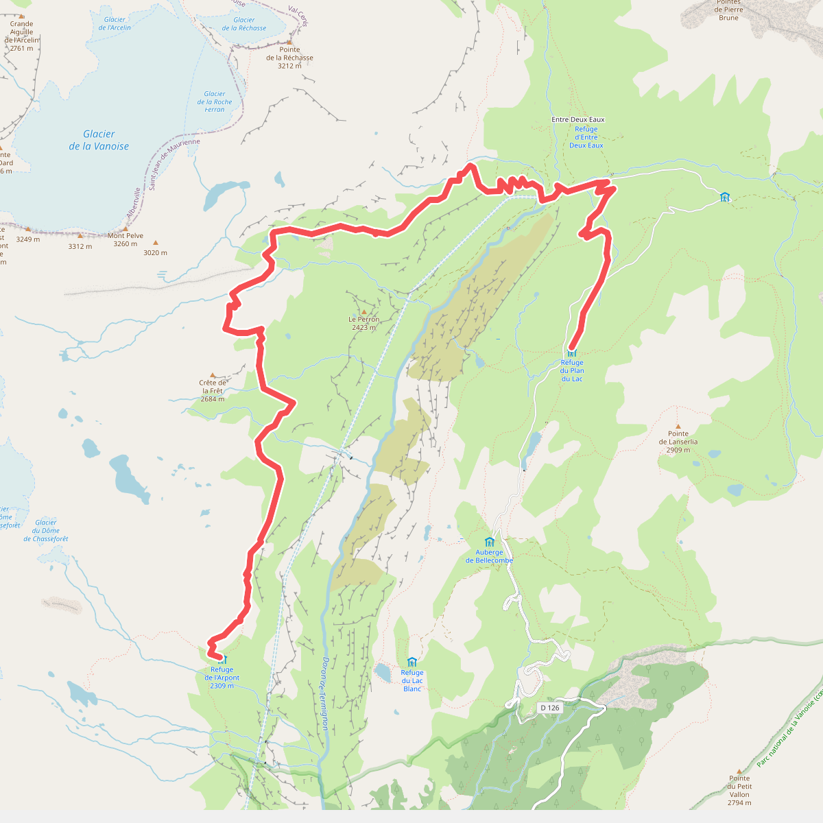
#11. Refuge de Plan du Lac - Refuge de... · GR5 etappe 87
Val-Cenis
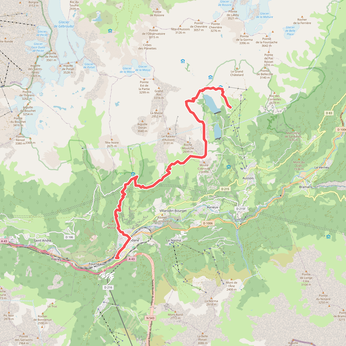
#12. Refuge de Plan Sec - Modane · GR5 etappe 89
Aussois,Villarodin-Bourget,Modane



