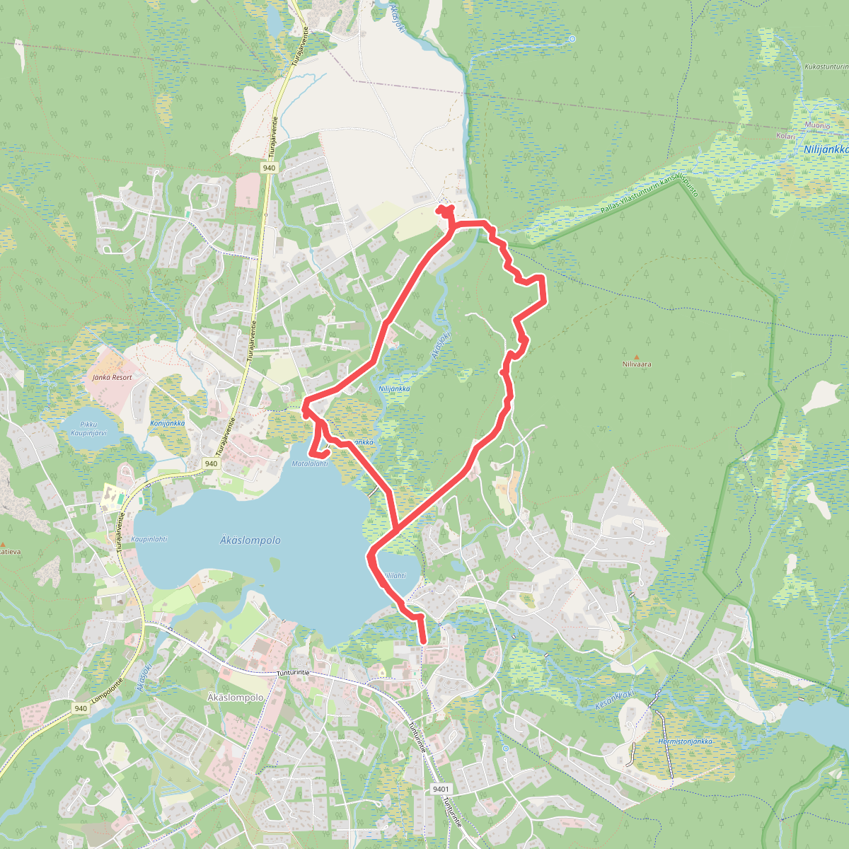
The best hiking routes in Pallas-Yllästunturin kansallispuisto
Discover the best walks in Pallas-Yllästunturin kansallispuisto. 1 routes on the map, with descriptions, photos and GPX.
Managed by Parks & Wildlife Finland
About Pallas-Yllästunturin kansallispuisto
Pallas-Yllästunturin kansallispuisto is defined by its chain of rounded fells, known as tunturit, which rise above the surrounding boreal forests and open bogs. Unlike the sharp peaks of younger mountain ranges, these ancient hills are worn down to smooth, bare summits where tree growth stops and low alpine vegetation takes over. Walkers will notice a stark transition as they ascend from the dense spruce and pine forests of the valleys up into the open, rocky tundra of the higher ground, where dwarf birch and lichens dominate the landscape.
Read more
About Pallas-Yllästunturin kansallispuisto
Pallas-Yllästunturin kansallispuisto is defined by its chain of rounded fells, known as tunturit, which rise above the surrounding boreal forests and open bogs. Unlike the sharp peaks of younger mountain ranges, these ancient hills are worn down to smooth, bare summits where tree growth stops and low alpine vegetation takes over. Walkers will notice a stark transition as they ascend from the dense spruce and pine forests of the valleys up into the open, rocky tundra of the higher ground, where dwarf birch and lichens dominate the landscape.
Read morePallas-Yllästunturin kansallispuisto is defined by its chain of rounded fells, known as tunturit, which rise above the surrounding boreal forests and open bogs. Unlike the sharp peaks of younger mountain ranges, these ancient hills are worn down to smooth, bare summits where tree growth stops and low alpine vegetation takes over. Walkers will notice a stark transition as they ascend from the dense spruce and pine forests of the valleys up into the open, rocky tundra of the higher ground, where dwarf birch and lichens dominate the landscape.
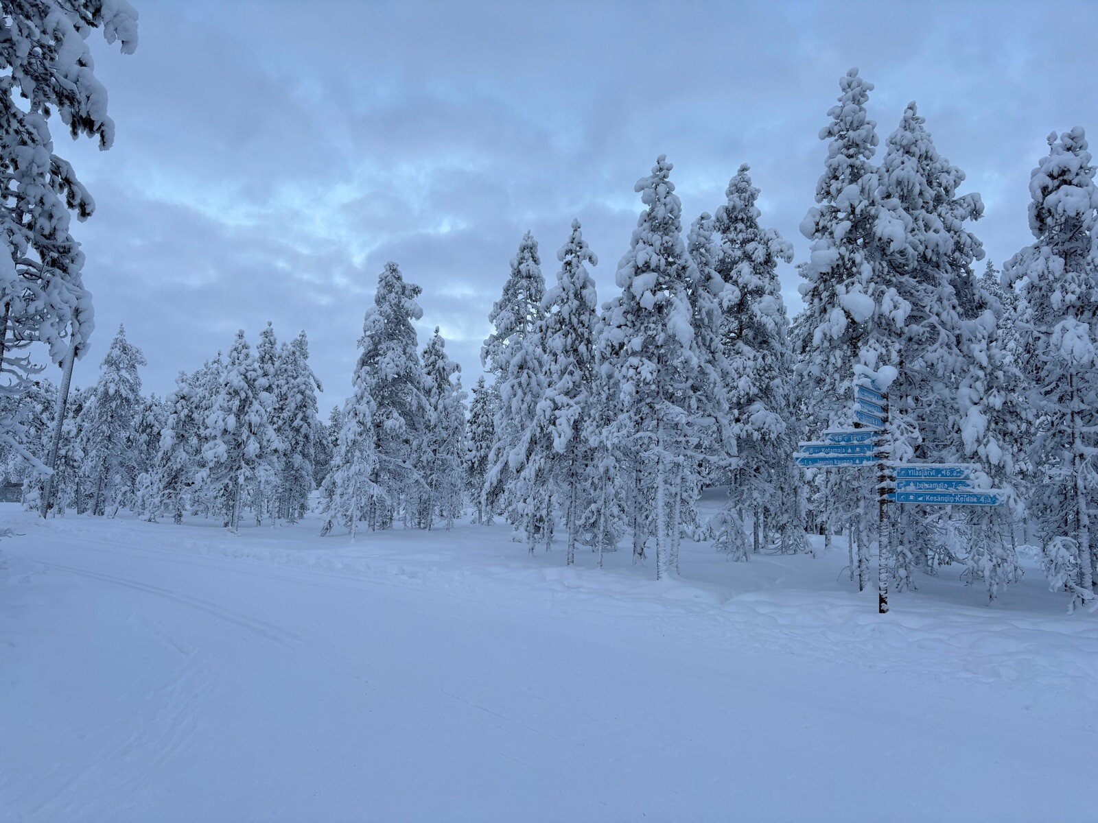
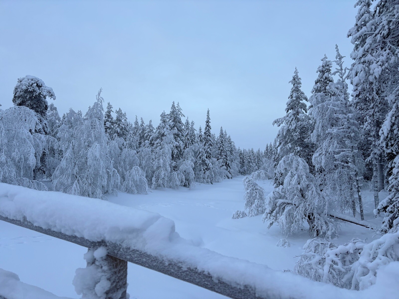
Underfoot, the trails present two distinct characters. In the lower forest zones and wet mires, wooden boardwalks are laid down to protect the peat and keep feet clear of the sodden ground. As you climb onto the fell ridges, the path changes to dry, stony ground mixed with gravel and exposed bedrock, which requires sturdy footwear to navigate the uneven surfaces. The main trail network is exceptionally well-marked, but the sheer scale of the landscape means that even popular routes feel vast and exposed once you rise above the treeline.
Choosing where to walk depends on your preference for forest shelter or open exposure. The southern sections around Ylls feature more developed infrastructure and forested trails, while the northern Pallas area offers quicker access to the high, bare summits. In September, the dwarf shrubs and birches on the open fells turn vibrant shades of red and yellow, a seasonal change that draws more walkers to the ridges, whereas the forested valleys remain quieter and offer more shelter from the elements.