The best hiking routes in Pajūrio regioninis parkas
Discover the best walks in Pajūrio regioninis parkas. 1 routes on the map, with descriptions, photos and GPX.
About Pajūrio regioninis parkas
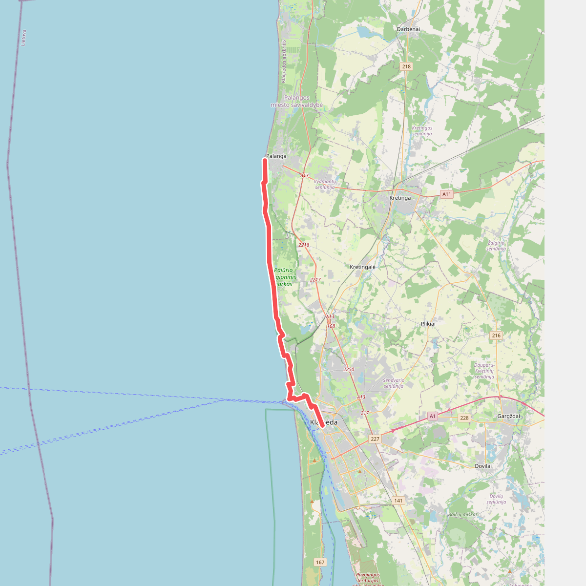
Pajūrio regioninis parkas stretches along a narrow strip of the Lithuanian Baltic coast, offering a landscape defined by the transition from active coastal dunes to damp pine forests. Unlike the massive, shifting sand dunes of the nearby Curonian Spit, this park features a more stable, lower shoreline where glacial clay cliffs meet the sea. Walkers will find a mix of terrain, from the stony beaches beneath the Dutchmans Cap cliff to damp, mossy forests further inland. Underfoot, the paths alternate between soft sand, hard-packed forest soil, and occasional wooden boardwalks over wetter sections.
Read more
About Pajūrio regioninis parkas
Pajūrio regioninis parkas stretches along a narrow strip of the Lithuanian Baltic coast, offering a landscape defined by the transition from active coastal dunes to damp pine forests. Unlike the massive, shifting sand dunes of the nearby Curonian Spit, this park features a more stable, lower shoreline where glacial clay cliffs meet the sea. Walkers will find a mix of terrain, from the stony beaches beneath the Dutchmans Cap cliff to damp, mossy forests further inland. Underfoot, the paths alternate between soft sand, hard-packed forest soil, and occasional wooden boardwalks over wetter sections.
Read morePajūrio regioninis parkas stretches along a narrow strip of the Lithuanian Baltic coast, offering a landscape defined by the transition from active coastal dunes to damp pine forests. Unlike the massive, shifting sand dunes of the nearby Curonian Spit, this park features a more stable, lower shoreline where glacial clay cliffs meet the sea. Walkers will find a mix of terrain, from the stony beaches beneath the Dutchmans Cap cliff to damp, mossy forests further inland. Underfoot, the paths alternate between soft sand, hard-packed forest soil, and occasional wooden boardwalks over wetter sections.
The forest tracks are dominated by Scots pines, which have been shaped by the coastal winds, alongside small pockets of deciduous trees and coastal meadows. In the northern sections, the ground becomes flatter and wetter, with small peat bogs and coastal lakes like Lake Plocis, where birdwatching screens are accessible via short, sandy trails. The paths here are generally flat, with only gentle rises where old, forested dunes create minor undulations in the landscape.
Walking in this park is straightforward, with well-marked trails starting from Karklė and Giruliai. While the beach sections require walking on loose sand and pebbles, the inland forest loops provide firmer footing. The areas closest to the main parking lots and the Dutchmans Cap viewpoint are often busier, but the longer loop trails through the quiet pine forests and towards the Plazė lake remain much quieter, offering a direct view of the coastal vegetation and the natural erosion of the clay cliffs.