

The best hiking routes in Nuschelberg
Discover the best walks in Nuschelberg. 11 routes on the map, with descriptions, photos and GPX.
About Nuschelberg
Nuschelberg offers a walk through a classic Franconian agricultural landscape, where the terrain rises gently from the Pegnitz river valley up to a prominent sandstone hill. The area is defined by its transition from damp alluvial meadows near the water to dry, pine-dominated woodland on the higher slopes. Walkers will notice how the soil changes underfoot, shifting from soft, dark earth near the valley floor to loose, yellow sand and exposed sandstone roots as the path climbs toward the hamlet at the top.
Read more
About Nuschelberg
Nuschelberg offers a walk through a classic Franconian agricultural landscape, where the terrain rises gently from the Pegnitz river valley up to a prominent sandstone hill. The area is defined by its transition from damp alluvial meadows near the water to dry, pine-dominated woodland on the higher slopes. Walkers will notice how the soil changes underfoot, shifting from soft, dark earth near the valley floor to loose, yellow sand and exposed sandstone roots as the path climbs toward the hamlet at the top.
Read moreNuschelberg offers a walk through a classic Franconian agricultural landscape, where the terrain rises gently from the Pegnitz river valley up to a prominent sandstone hill. The area is defined by its transition from damp alluvial meadows near the water to dry, pine-dominated woodland on the higher slopes. Walkers will notice how the soil changes underfoot, shifting from soft, dark earth near the valley floor to loose, yellow sand and exposed sandstone roots as the path climbs toward the hamlet at the top.
The paths here are mostly unpaved agricultural tracks and forest trails, with some sections of gravel. Unlike the rugged rocky labyrinths of the deeper Franconian Switzerland further north, the landscape around Nuschelberg is softer and more open, characterized by traditional orchards, small fields, and patches of dense mixed forest. In October, the deciduous trees on the slopes show vibrant autumn colors against the dark green of the pines.
This area is ideal for those seeking a straightforward, rolling walk rather than steep mountain climbs. The paths are generally easy to navigate, though the sandy sections on the hillside can feel loose. While the village of Nuschelberg itself attracts local day-trippers to its traditional beer garden, the surrounding forest trails remain relatively quiet and provide a clear view of traditional Franconian land use.
Hiking routes in Nuschelberg (11)
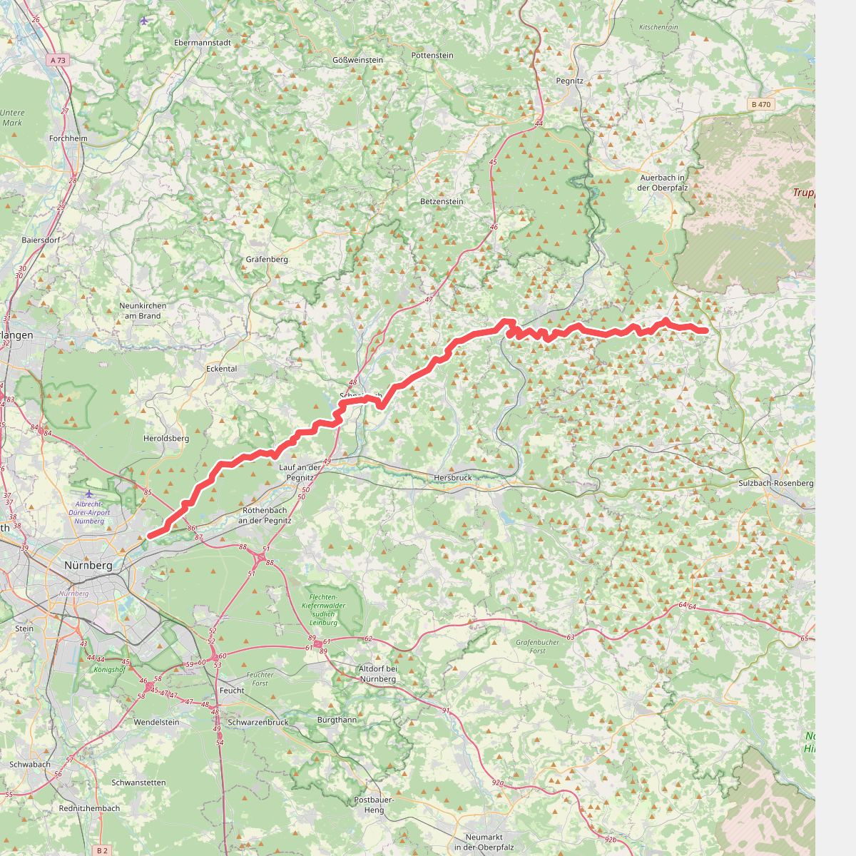
#1. Alb-Quer-Weg
Nürnberg,Erlenstegener Forst,Behringersdorfer Forst,Günthersbühler Forst,Rückersdorfer Forst,Lauf an der Pegnitz,Schnaittach,Kirchensittenbach,Velden,Hartenstein,Neuhaus an der Pegnitz,Hirschbach,Königstein
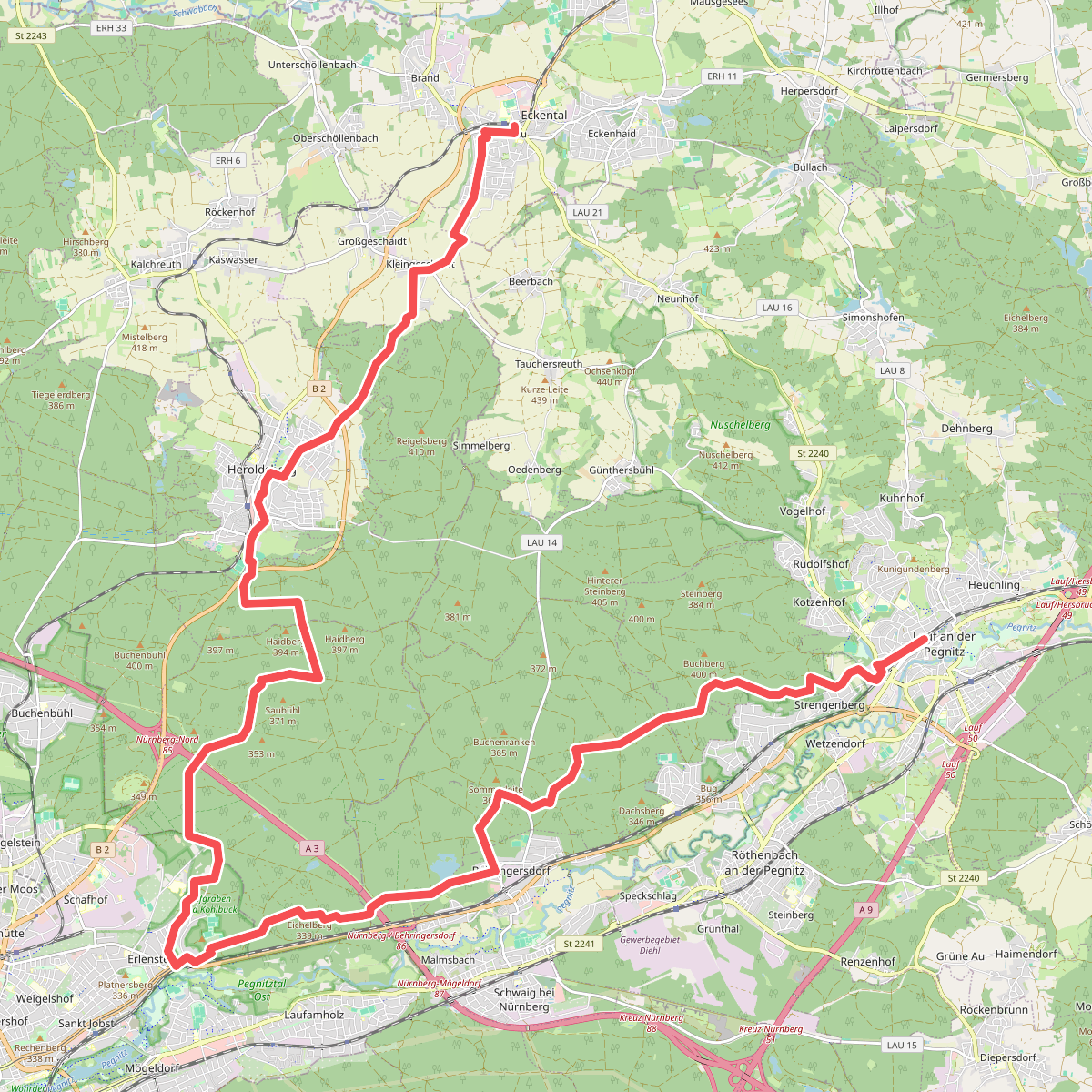
#2. Blaustrich
Lauf an der Pegnitz,Rückersdorf,Rückersdorfer Forst,Behringersdorfer Forst,Schwaig bei Nürnberg,Erlenstegener Forst,Nürnberg,Geschaidt,Heroldsberg,Eckental
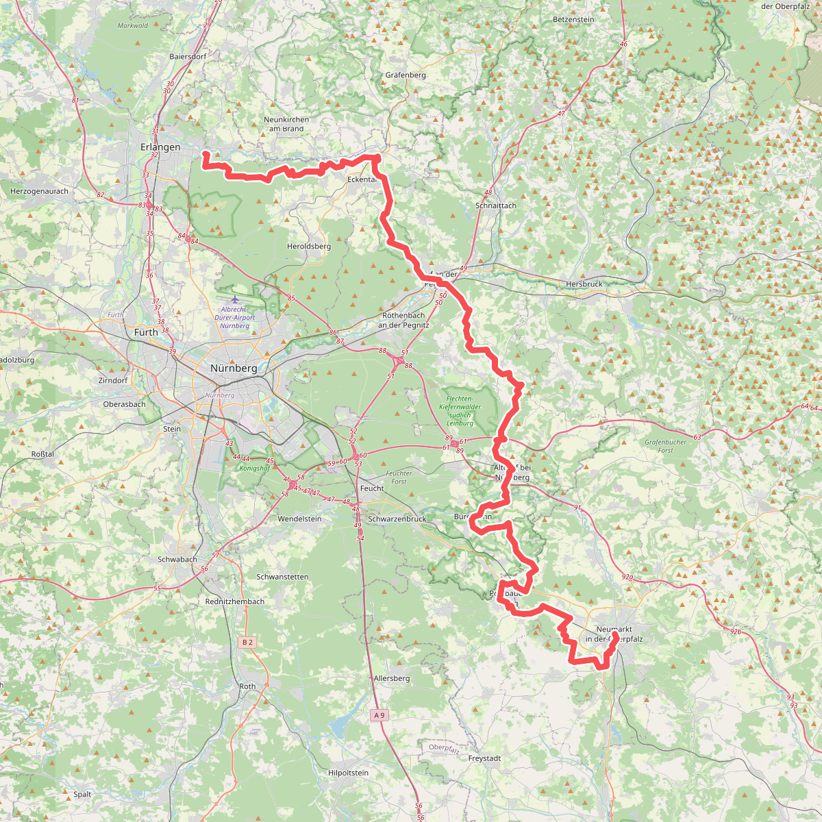
#3. Eppeleinsweg
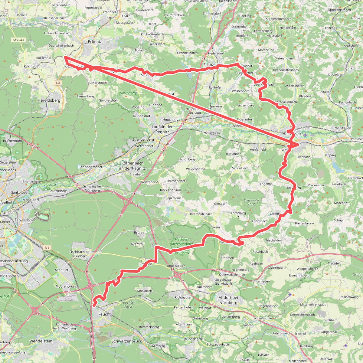
#4. Gottfried-Stammler-Weg
Feucht,Feuchter Forst,Fischbach,Winkelhaid,Nürnberg,Leinburg,Offenhausen,Engelthal,Hersbruck,Kirchensittenbach,Schnaittach,Lauf an der Pegnitz,Heroldsberg
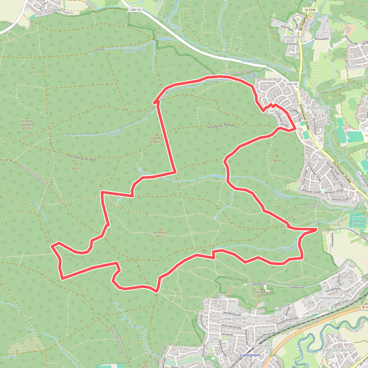
#5. Große Schnackenrunde
Lauf an der Pegnitz,Rückersdorfer Forst,Günthersbühler Forst,Behringersdorfer Forst
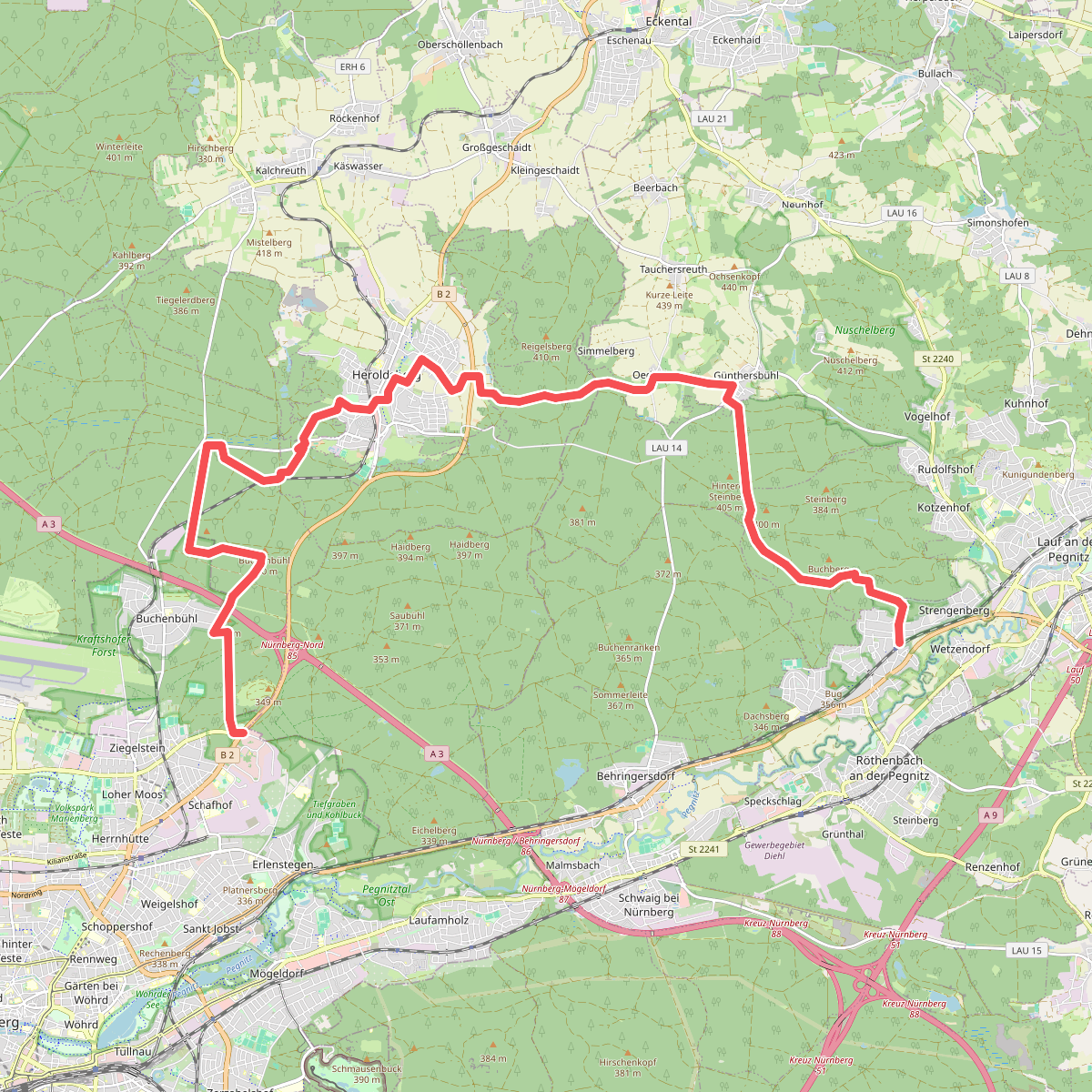
#6. Hans-Krauß-Weg
Nürnberg,Kraftshofer Forst,Geschaidt,Kalchreuther Forst,Heroldsberg,Günthersbühler Forst,Lauf an der Pegnitz,Rückersdorfer Forst,Rückersdorf
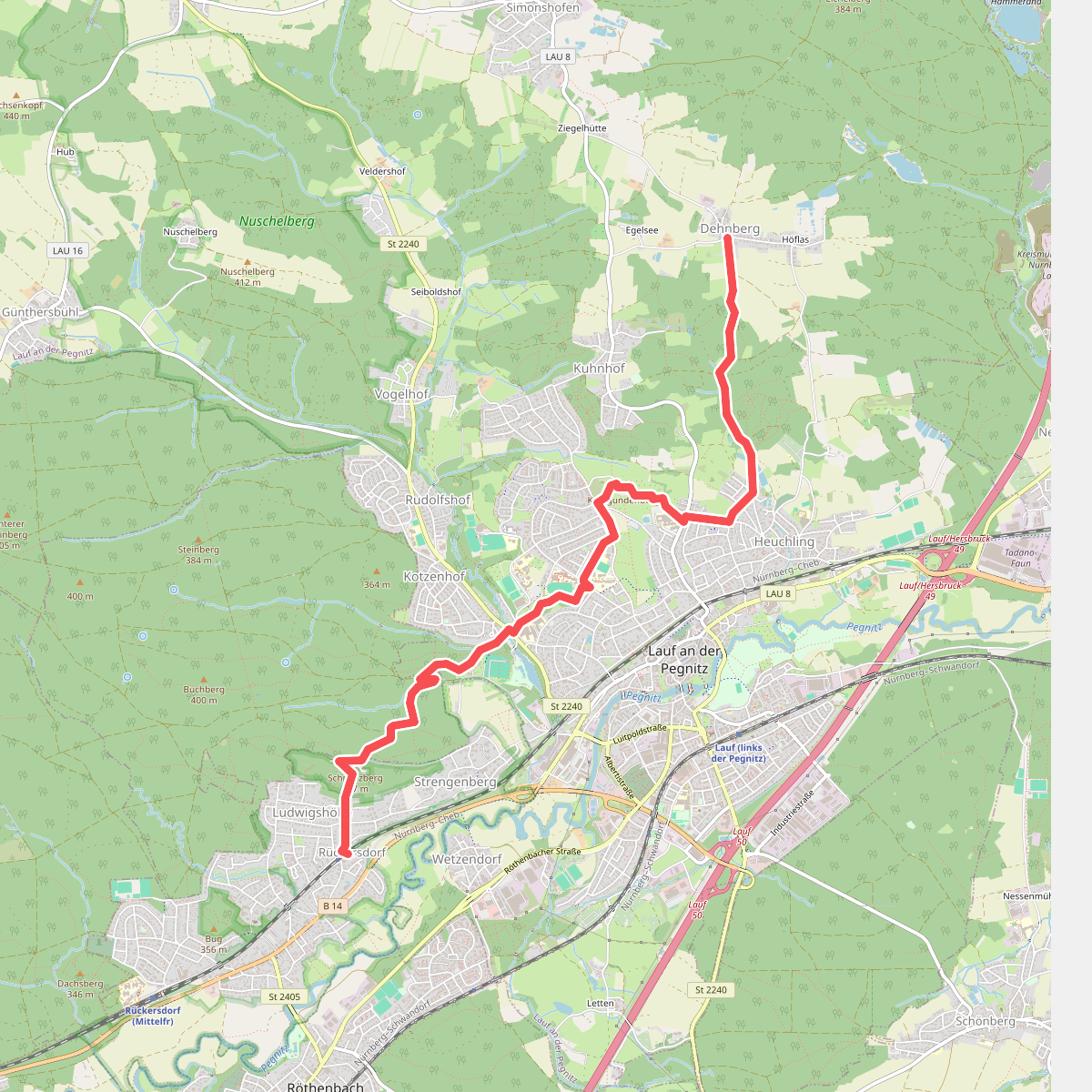
#7. Ludwigshöhe - Dehnberg
Rückersdorf,Rückersdorfer Forst,Lauf an der Pegnitz
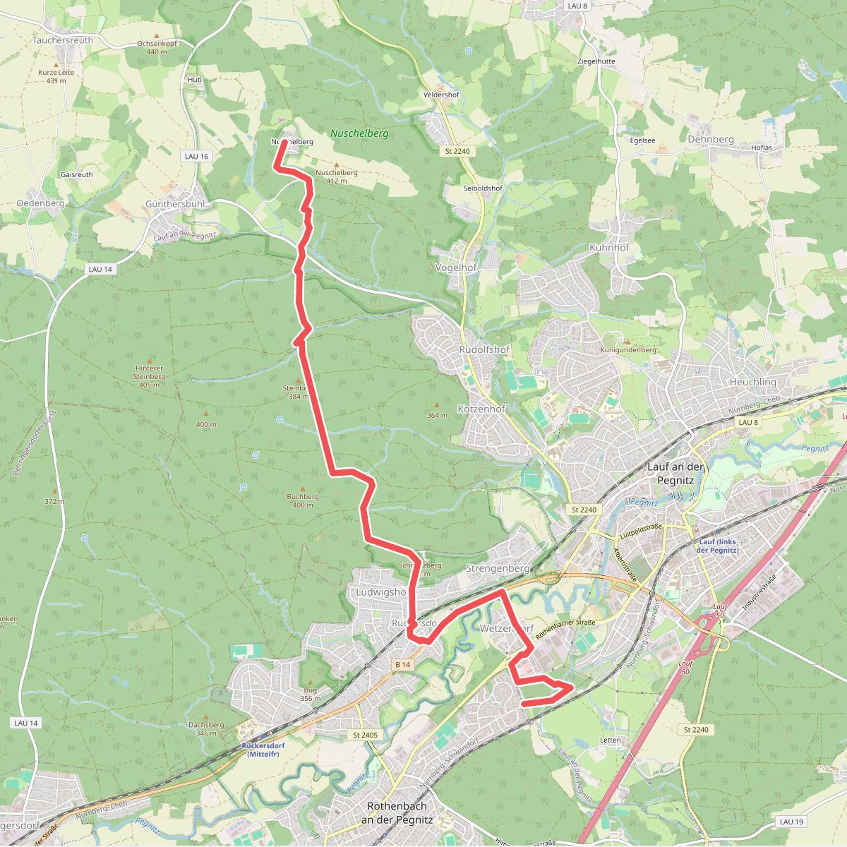
#8. Röthenbach – Nuschelberg
Lauf an der Pegnitz,Rückersdorf,Rückersdorfer Forst,Günthersbühler Forst
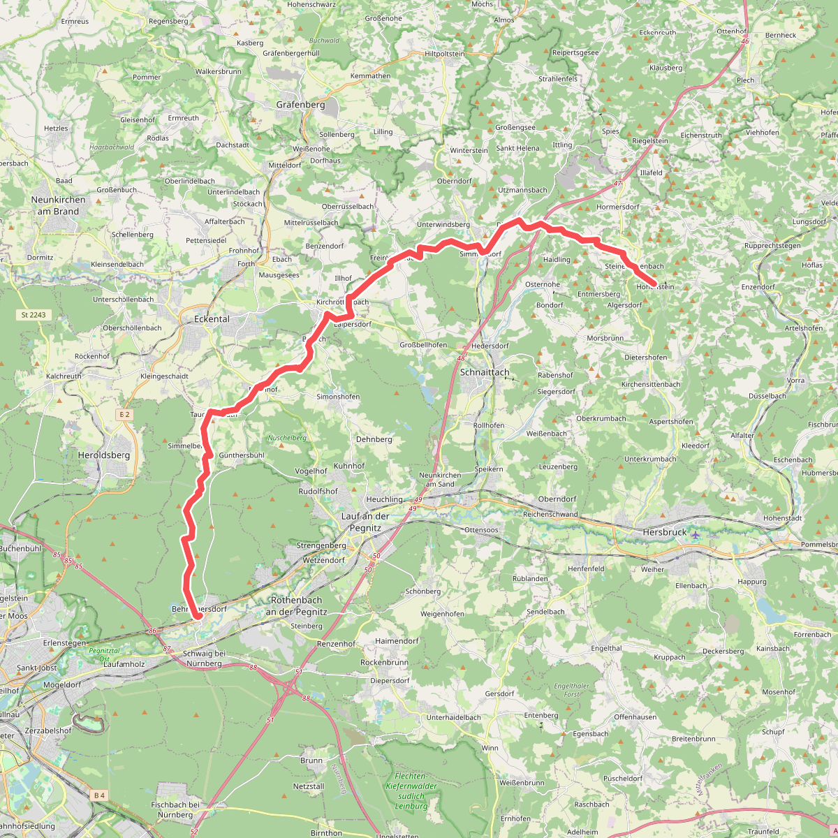
#9. Tuchersteig
Schwaig bei Nürnberg,Behringersdorfer Forst,Günthersbühler Forst,Lauf an der Pegnitz,Eckental,Schnaittach,Simmelsdorf,Kirchensittenbach
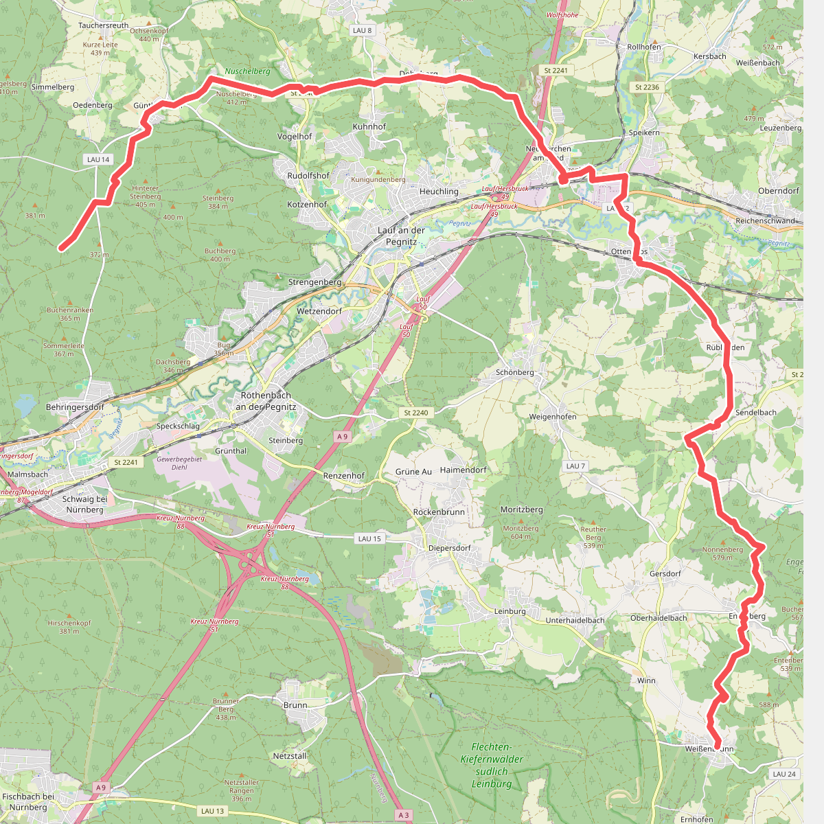
#10. Weißenbrunn - Behringersdorf
Leinburg,Engelthaler Forst,Engelthal,Ottensoos,Neunkirchen a. Sand,Lauf an der Pegnitz,Günthersbühler Forst
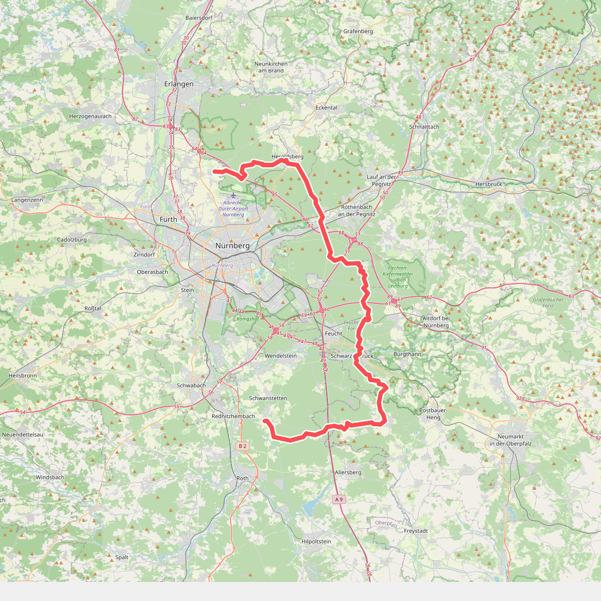
#11. Wildmeistersteig
Schwanstetten,Roth,Pyrbaum,Burgthann,Schwarzenbruck,Feuchter Forst,Feucht,Winkelhaid,Nürnberg,Fischbach,Brunn,Laufamholzer Forst,Schwaig bei Nürnberg,Behringersdorfer Forst,Erlenstegener Forst,Heroldsberg,Kalchreuther Forst,Kraftshofer Forst,Neunhofer Forst



