The best hiking routes in Northumberland Coast National Landscape
Discover the best walks in Northumberland Coast National Landscape. 4 routes on the map, with descriptions, photos and GPX.


About Northumberland Coast National Landscape
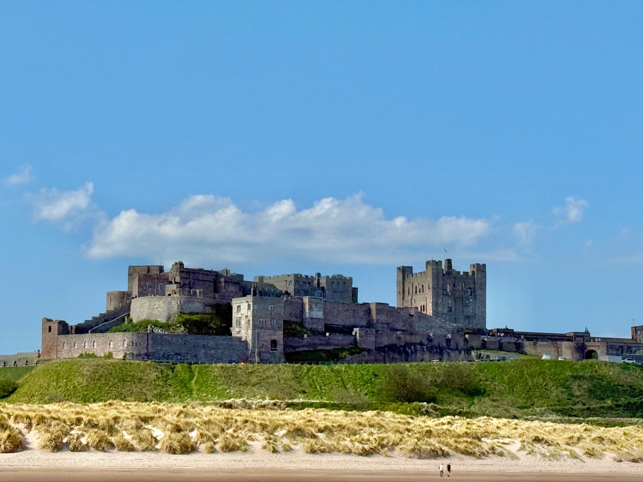
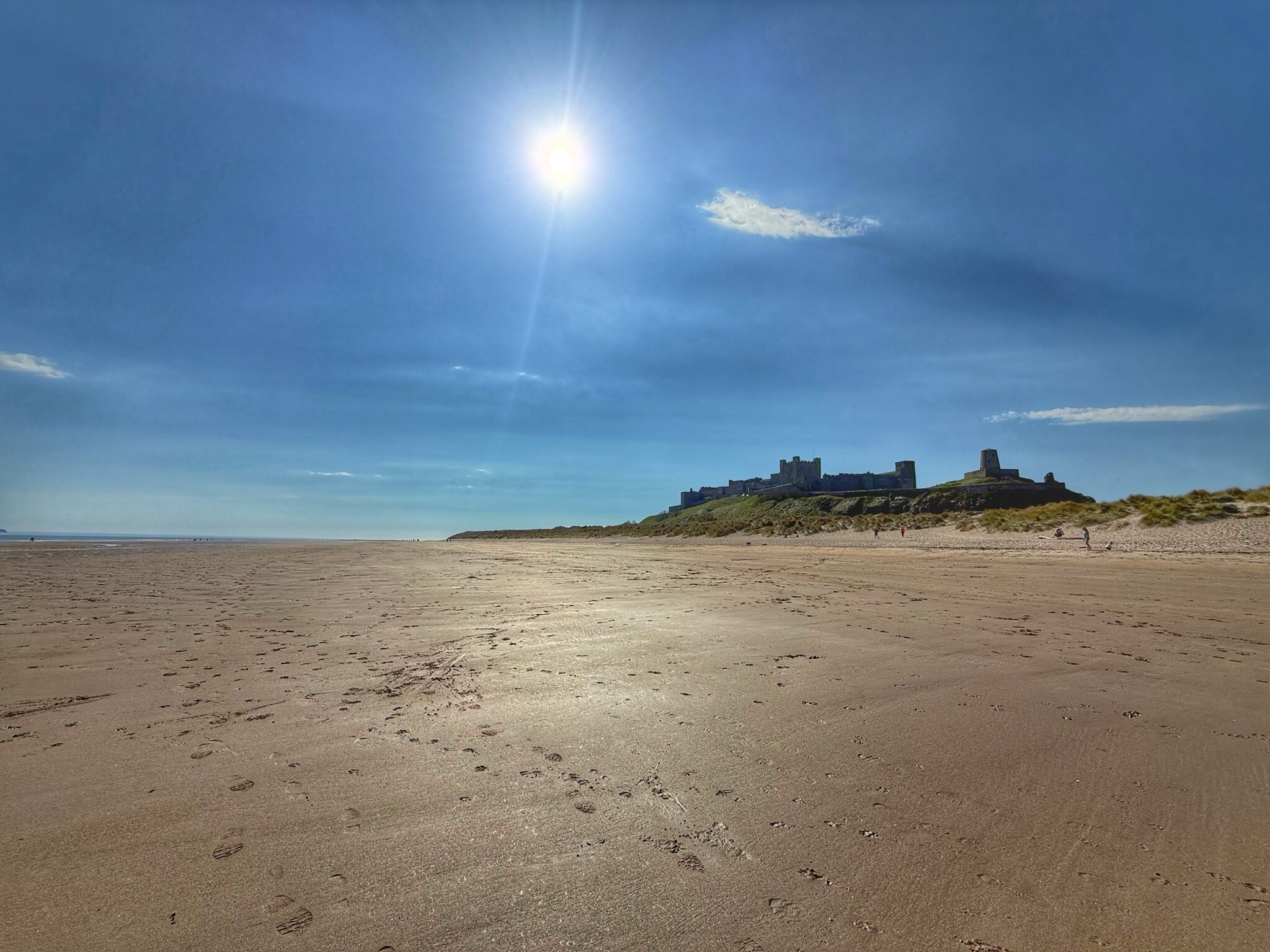
The Northumberland Coast National Landscape is defined by its flat, low-lying coastal fringe where wide sandy bays alternate with rocky headlands and dark basalt reefs. Unlike mountainous parks, this landscape offers no high peaks or deep valleys, presenting instead a gently rolling terrain of grassy dunes, saltmarshes, and tidal mudflats. The underlying geology is highly visible along the shore, where the dark volcanic rock of the Whin Sill forms natural foundations for ancient castles and creates rugged, flat-topped islands just off the coast.
Read more
About Northumberland Coast National Landscape
The Northumberland Coast National Landscape is defined by its flat, low-lying coastal fringe where wide sandy bays alternate with rocky headlands and dark basalt reefs. Unlike mountainous parks, this landscape offers no high peaks or deep valleys, presenting instead a gently rolling terrain of grassy dunes, saltmarshes, and tidal mudflats. The underlying geology is highly visible along the shore, where the dark volcanic rock of the Whin Sill forms natural foundations for ancient castles and creates rugged, flat-topped islands just off the coast.
Read moreThe Northumberland Coast National Landscape is defined by its flat, low-lying coastal fringe where wide sandy bays alternate with rocky headlands and dark basalt reefs. Unlike mountainous parks, this landscape offers no high peaks or deep valleys, presenting instead a gently rolling terrain of grassy dunes, saltmarshes, and tidal mudflats. The underlying geology is highly visible along the shore, where the dark volcanic rock of the Whin Sill forms natural foundations for ancient castles and creates rugged, flat-topped islands just off the coast.
Underfoot, walkers will encounter a mix of soft sand dunes, firm beach sand at low tide, and grassy coastal paths that can become muddy in low-lying pastures. Some sections follow rocky shorelines where careful stepping over slippery seaweed-covered stones is required, while other parts utilize wooden boardwalks over sensitive dune habitats. The transition from dry, shifting sand dunes bound by marram grass to the wet, silty mudflats of the Lindisfarne National Nature Reserve dictates the difficulty of the walking surface rather than any steep climbs.
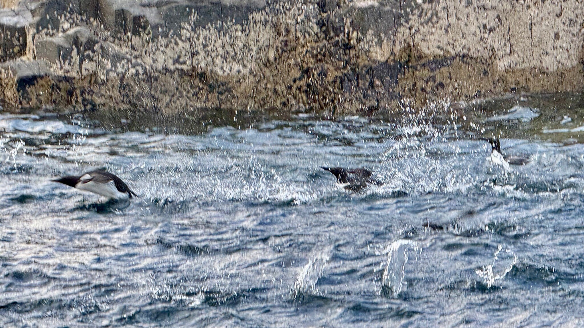
In autumn, particularly during October, the mudflats and saltmarshes around Holy Island fill with thousands of migrating waterfowl, transforming the quiet flats into a noisy feeding ground. While popular spots near the coastal castles can attract many visitors, the long stretches of sandy beach between the villages often remain much quieter. Walkers should note that access to certain tidal sections, especially the causeway to Holy Island, is entirely governed by the daily tide times, which cover the walking routes twice a day.
Hiking routes in Northumberland Coast National Landscape (4)
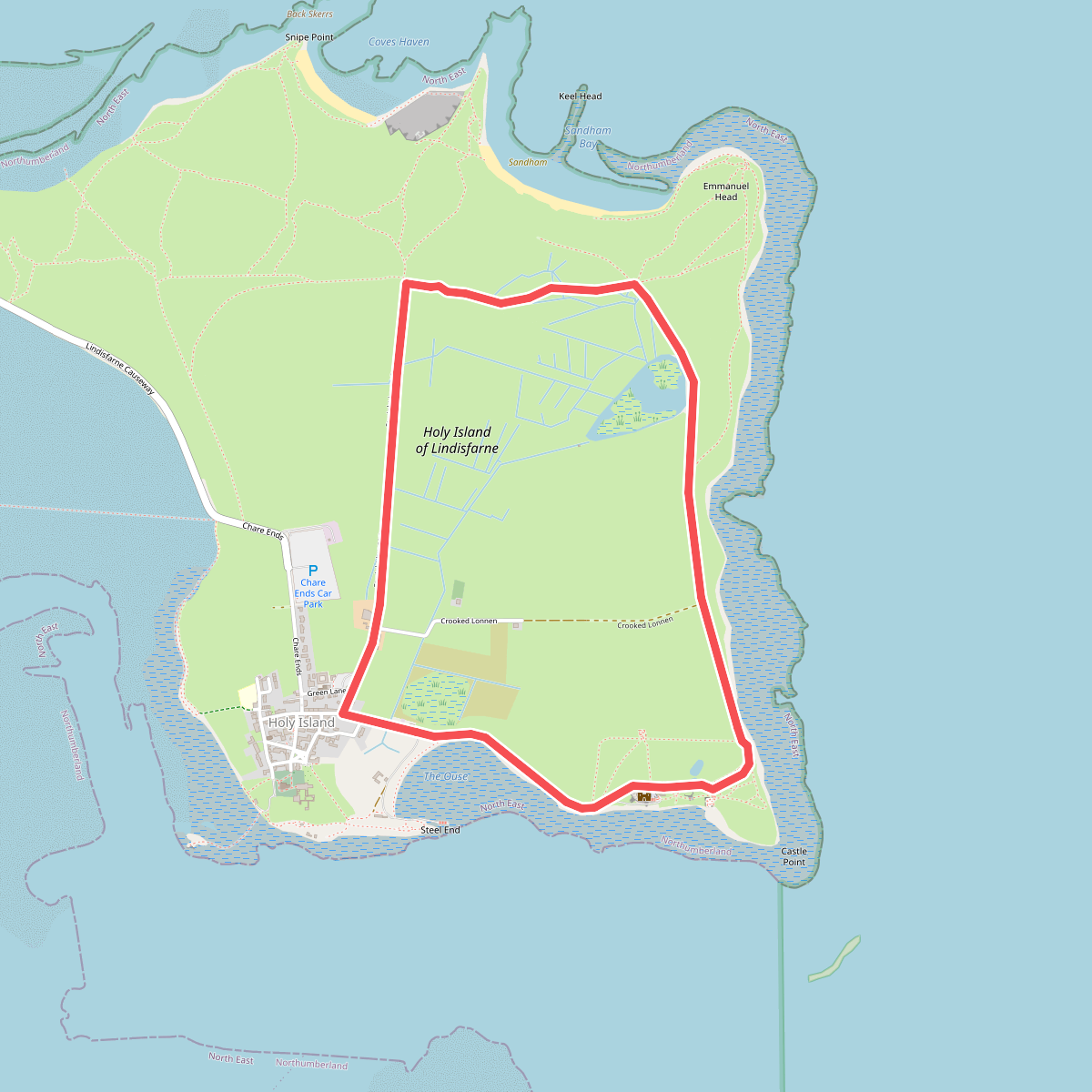
#1. Lindisfarne Nature Trail
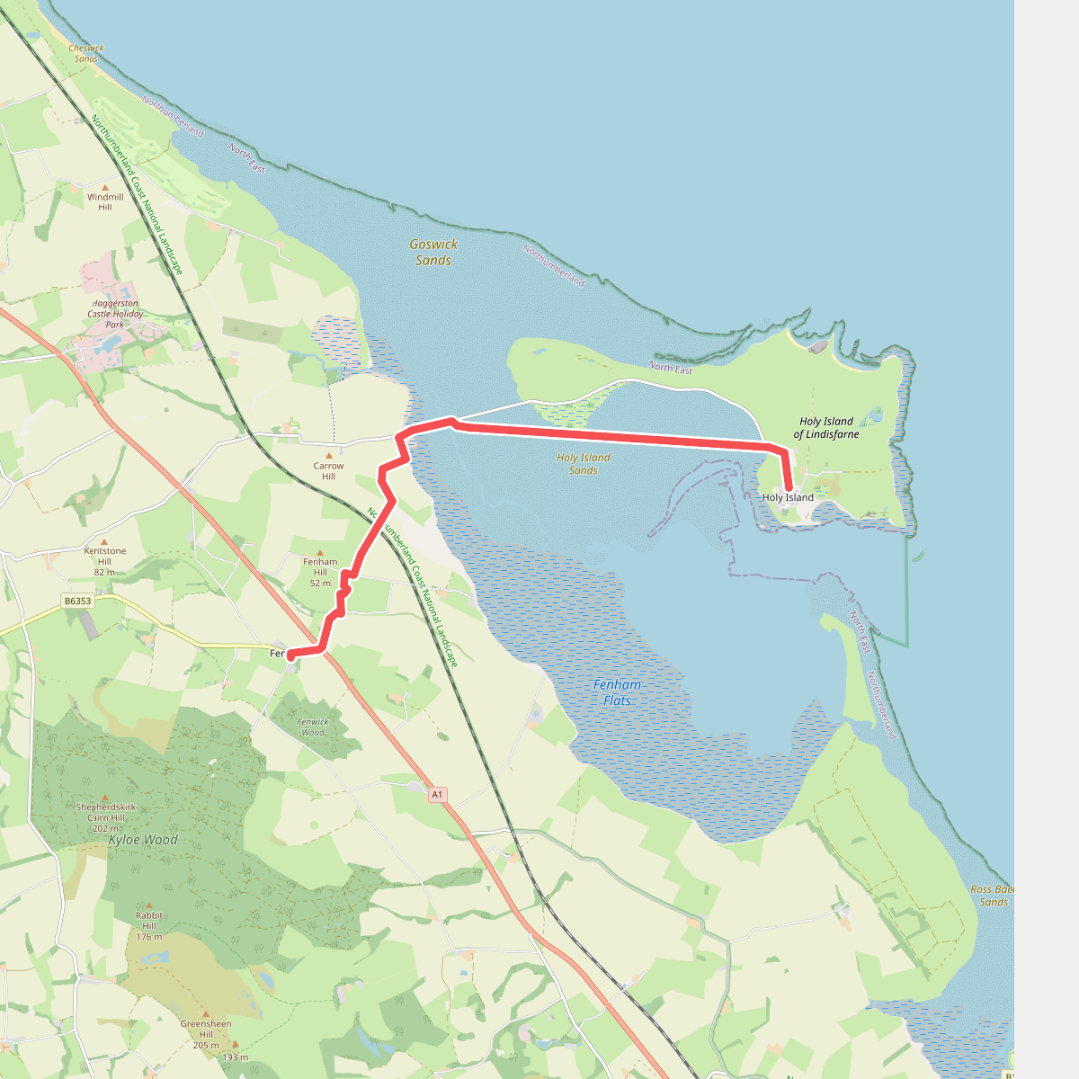

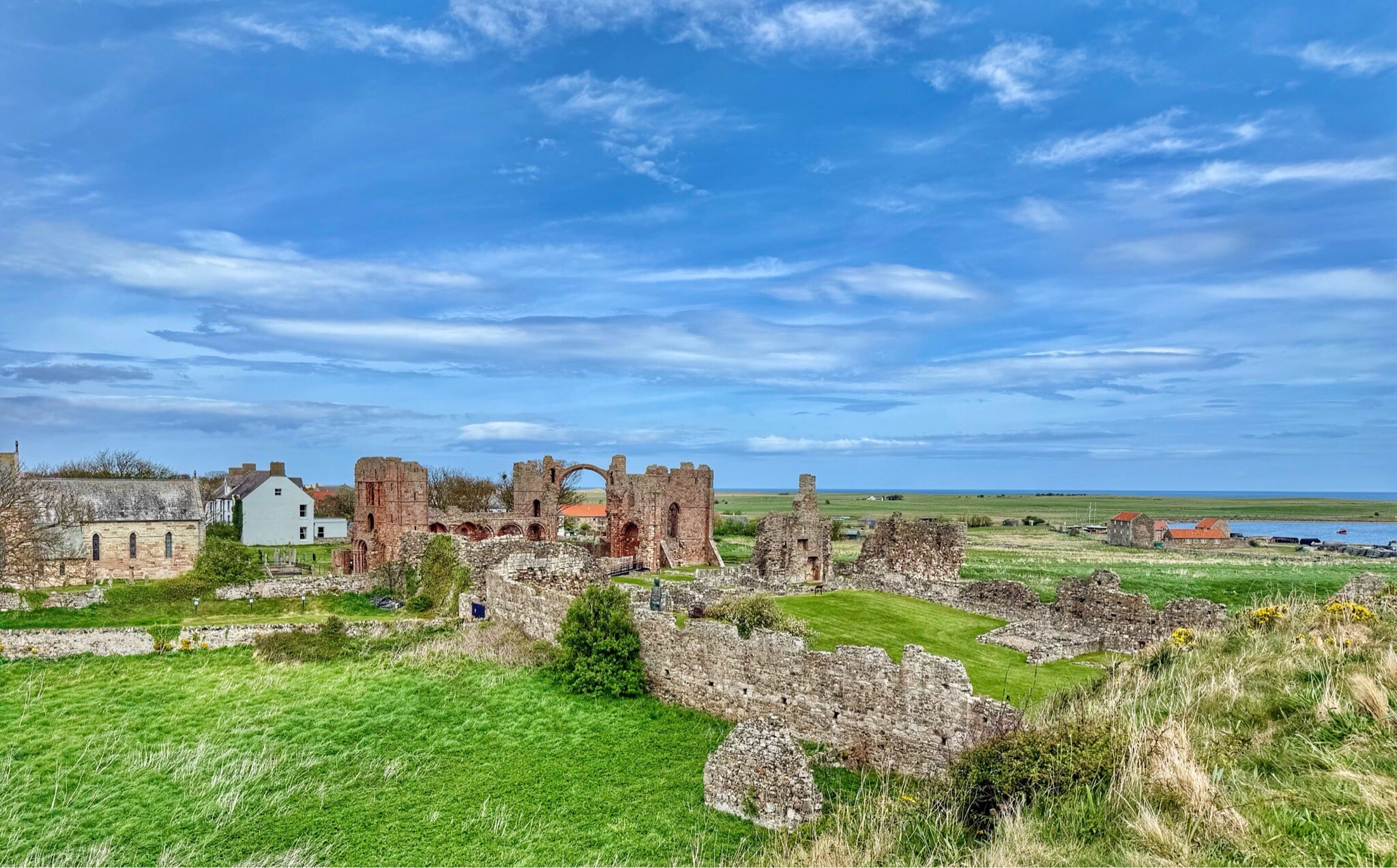
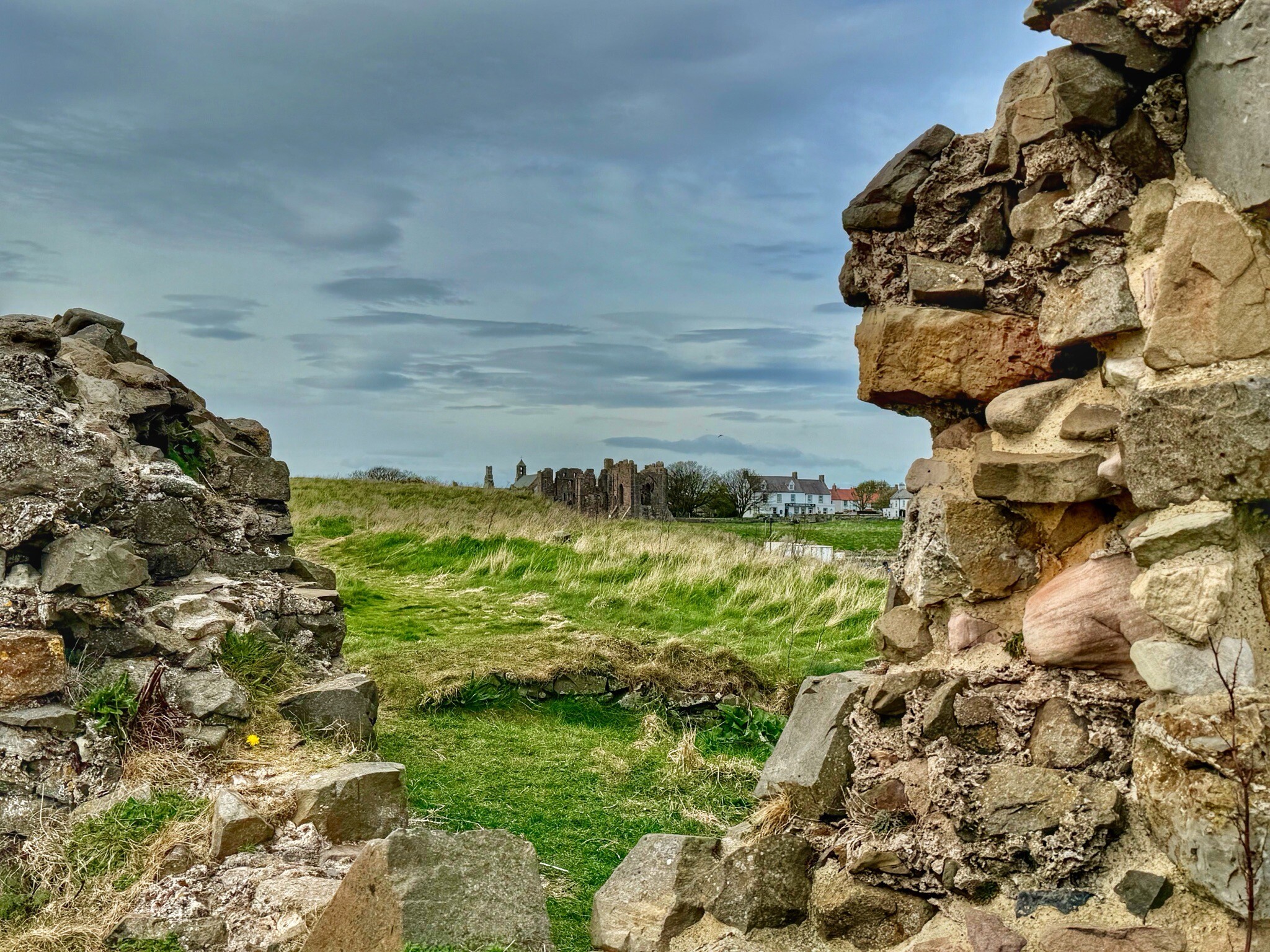
#2. St. Cuthbertway: 5.Fenwick-Lindesfarne
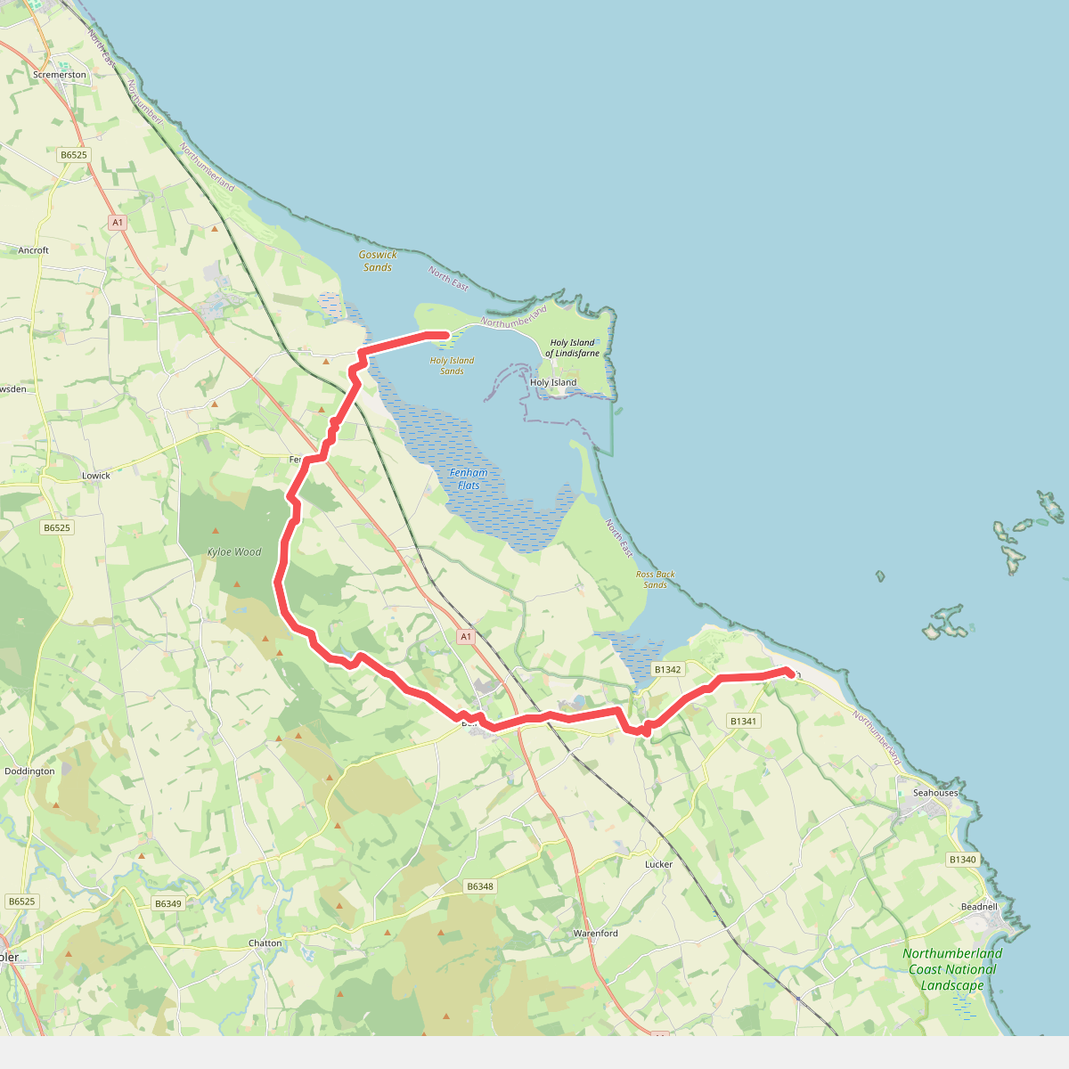
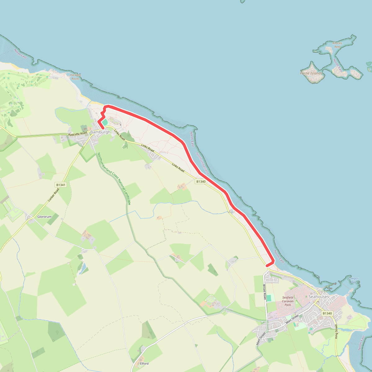
#3. St. Cuthbertway: 6.Lindesfarne-Bamburgh