The best hiking routes in Niederlausitzer Landrücken
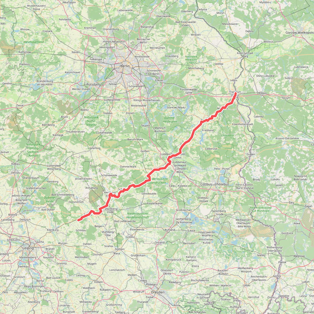
Discover the best walks in Niederlausitzer Landrücken. 1 routes on the map, with descriptions, photos and GPX.
About Niederlausitzer Landrücken
The Niederlausitzer Landrücken is a landscape of transition, shaped by the retreat of ice-age glaciers and heavily altered by decades of open-cast lignite mining. Walkers will find a stark contrast between the dry, sandy pine forests of the terminal moraine and the vast, flat reclamation zones where former pits have been flooded to create artificial lakes. The terrain is gently rolling rather than hilly, with low ridges that offer wide views over young, developing woodlands and scrubby heaths instead of dense, ancient forests.
Read more
About Niederlausitzer Landrücken
The Niederlausitzer Landrücken is a landscape of transition, shaped by the retreat of ice-age glaciers and heavily altered by decades of open-cast lignite mining. Walkers will find a stark contrast between the dry, sandy pine forests of the terminal moraine and the vast, flat reclamation zones where former pits have been flooded to create artificial lakes. The terrain is gently rolling rather than hilly, with low ridges that offer wide views over young, developing woodlands and scrubby heaths instead of dense, ancient forests.
Read moreThe Niederlausitzer Landrücken is a landscape of transition, shaped by the retreat of ice-age glaciers and heavily altered by decades of open-cast lignite mining. Walkers will find a stark contrast between the dry, sandy pine forests of the terminal moraine and the vast, flat reclamation zones where former pits have been flooded to create artificial lakes. The terrain is gently rolling rather than hilly, with low ridges that offer wide views over young, developing woodlands and scrubby heaths instead of dense, ancient forests.
Underfoot, the paths vary significantly depending on where you walk. The older, forested sections feature soft, sandy tracks that can feel heavy, while the reclaimed mining areas are often traversed by wide, gravelled multi-use paths and paved cycle tracks. You will not find boardwalks over wild bogs here; instead, the water bodies are large, exposed lakes with steep, sandy banks where vegetation is still pioneering. In autumn, particularly around October, the shallow waters and surrounding fields become major resting sites for migrating cranes.
This area is ideal if you want to observe landscape recovery first-hand, but it is not a destination for deep, untouched wilderness. The straight lines of pine plantations and the engineered shorelines of the new lakes are constant reminders of human intervention. While the main lakeside viewpoints can attract cyclists and day-trippers, the sandy forest paths away from the water remain quiet and see far fewer visitors.