

The best hiking routes in Naturpark Weserbergland
Discover the best walks in Naturpark Weserbergland. 82 routes on the map, with descriptions, photos and GPX.
About Naturpark Weserbergland
Naturpark Weserbergland is defined by its long, forested sandstone and limestone ridges that flank the winding Weser river. Unlike flatter northern plains, this landscape consists of prominent, parallel hill ranges like the Süntel and the Ith, which rise steeply from the valley floor. Walkers will notice a sharp contrast between the dense beech forests on the upper slopes and the open agricultural land below. The bedrock is visible in dramatic limestone cliffs and quarries that interrupt the tree line, showing how water has carved into the soft stone over time.
Read more
About Naturpark Weserbergland
Naturpark Weserbergland is defined by its long, forested sandstone and limestone ridges that flank the winding Weser river. Unlike flatter northern plains, this landscape consists of prominent, parallel hill ranges like the Süntel and the Ith, which rise steeply from the valley floor. Walkers will notice a sharp contrast between the dense beech forests on the upper slopes and the open agricultural land below. The bedrock is visible in dramatic limestone cliffs and quarries that interrupt the tree line, showing how water has carved into the soft stone over time.
Read moreNaturpark Weserbergland is defined by its long, forested sandstone and limestone ridges that flank the winding Weser river. Unlike flatter northern plains, this landscape consists of prominent, parallel hill ranges like the Süntel and the Ith, which rise steeply from the valley floor. Walkers will notice a sharp contrast between the dense beech forests on the upper slopes and the open agricultural land below. The bedrock is visible in dramatic limestone cliffs and quarries that interrupt the tree line, showing how water has carved into the soft stone over time.
Underfoot, the paths vary from soft forest loam and leaf litter to rocky, root-strewn tracks along the narrow ridge crests. While the valleys feature paved agricultural lanes, the higher trails require careful stepping over exposed limestone slabs and tree roots. The terrain is characterized by steady, moderate climbs rather than high alpine peaks or deep gorges, offering a continuous sequence of ascents and descents through the woods.
In April and May, the forest floor in the limestone areas is covered in wild garlic and early spring flowers before the beech canopy closes. The ridge trails are popular with local hikers, meaning the well-known viewpoint structures and cliff edges can be busy on weekends, though the deeper forest paths remain quiet. Walkers should expect a landscape of enclosed woodland and sudden valley views, rather than open, sweeping plains.
Hiking routes in Naturpark Weserbergland (82)
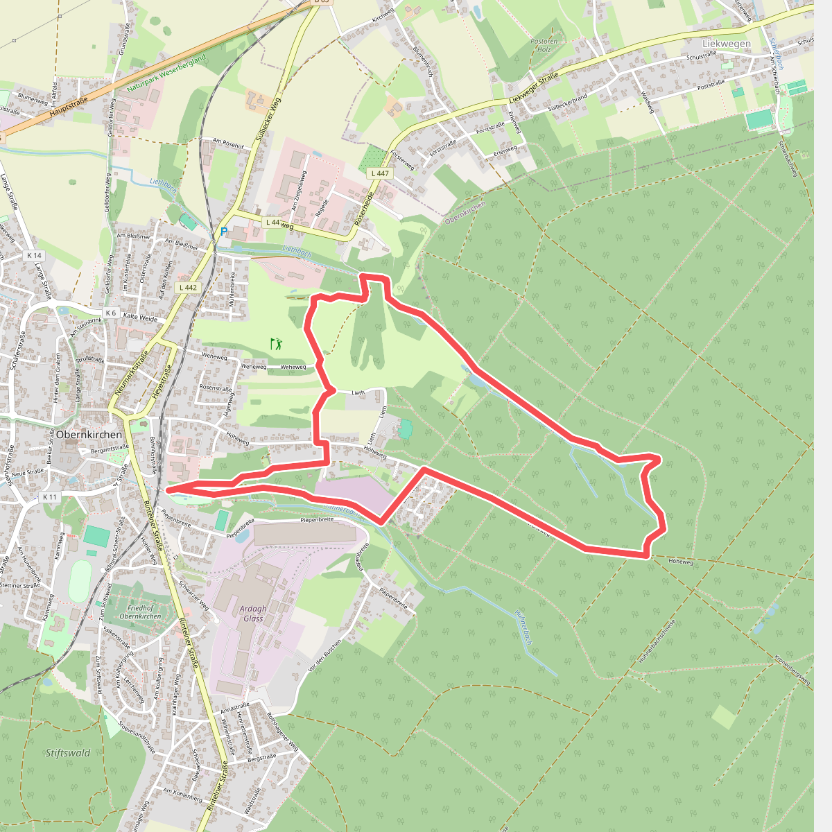
#1. 2-Bäche-Weg
Obernkirchen
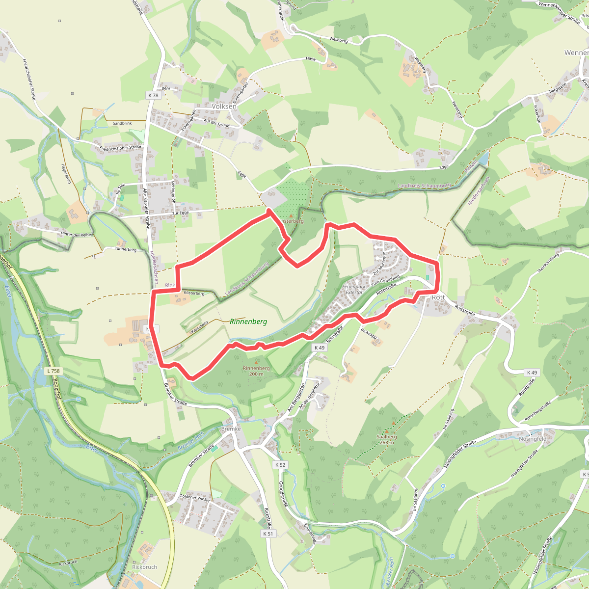
#2. A3, Extertal/ Rott
Rinteln,Extertal
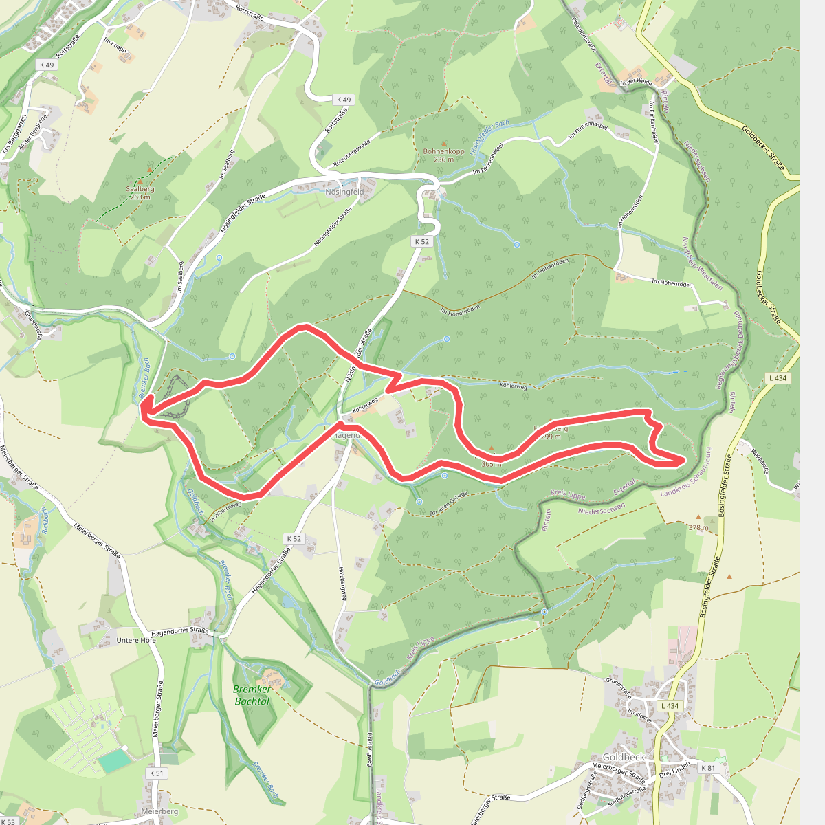
#3. A4, Extertal/ Wanderparkplatz Hagendorf-Hellerberg-Uffoburg-Hagenberg
Extertal
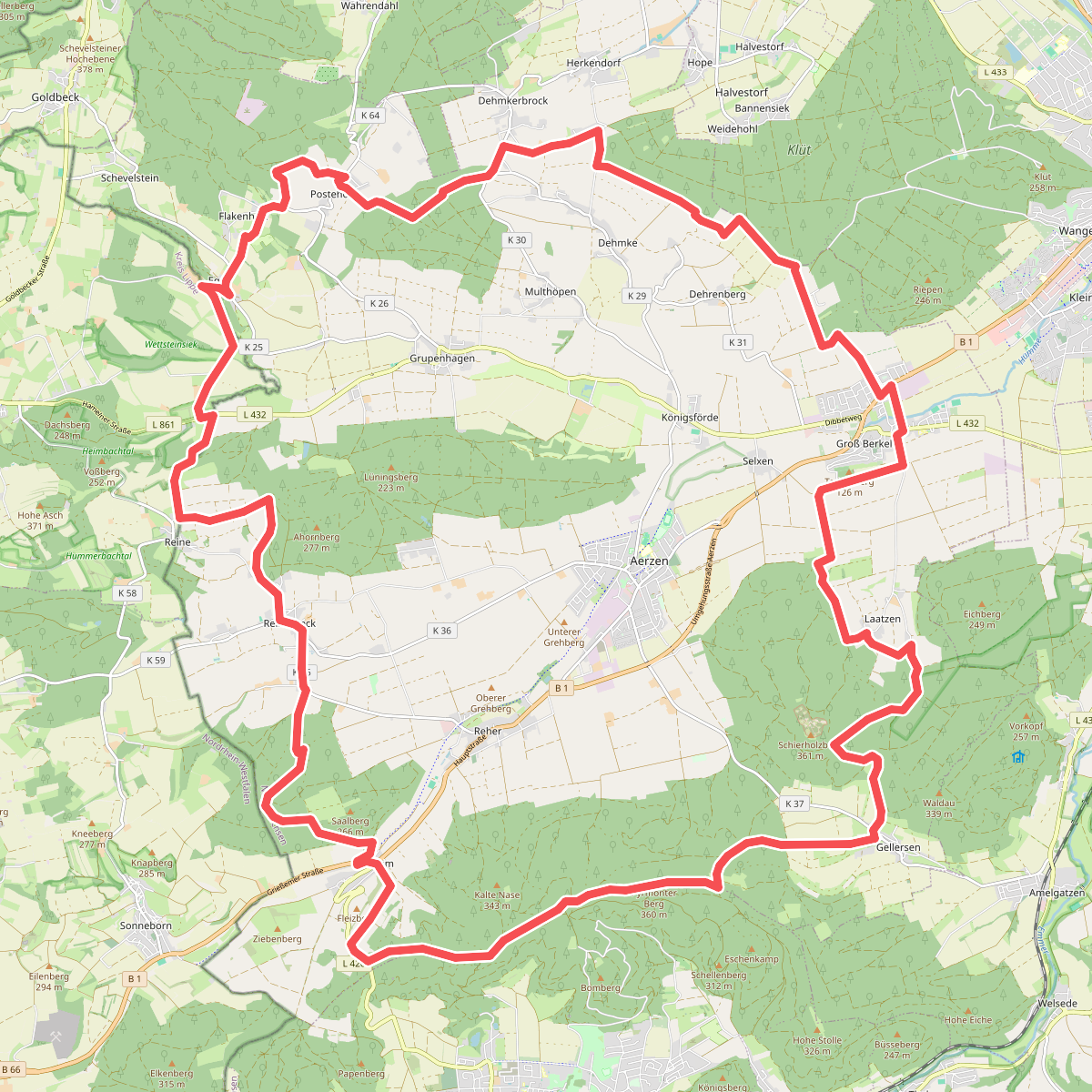
#4. AE10 Der Zehner
Aerzen,Extertal
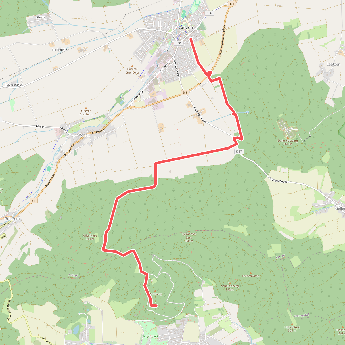
#5. AE5 Streckenwanderung von Aerzen in Richtung Bad Pyrmont zum Spelunkenturm
Aerzen,Bad Pyrmont
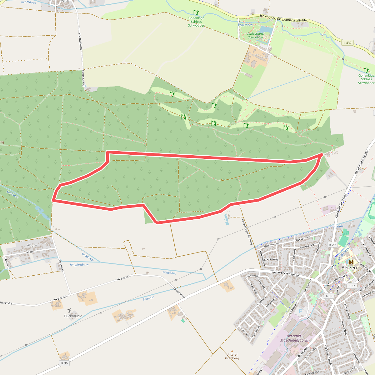
#6. AE7 Rundwanderweg auf dem Lüningsberg zwischen Waldquelle und Ahorn
Aerzen
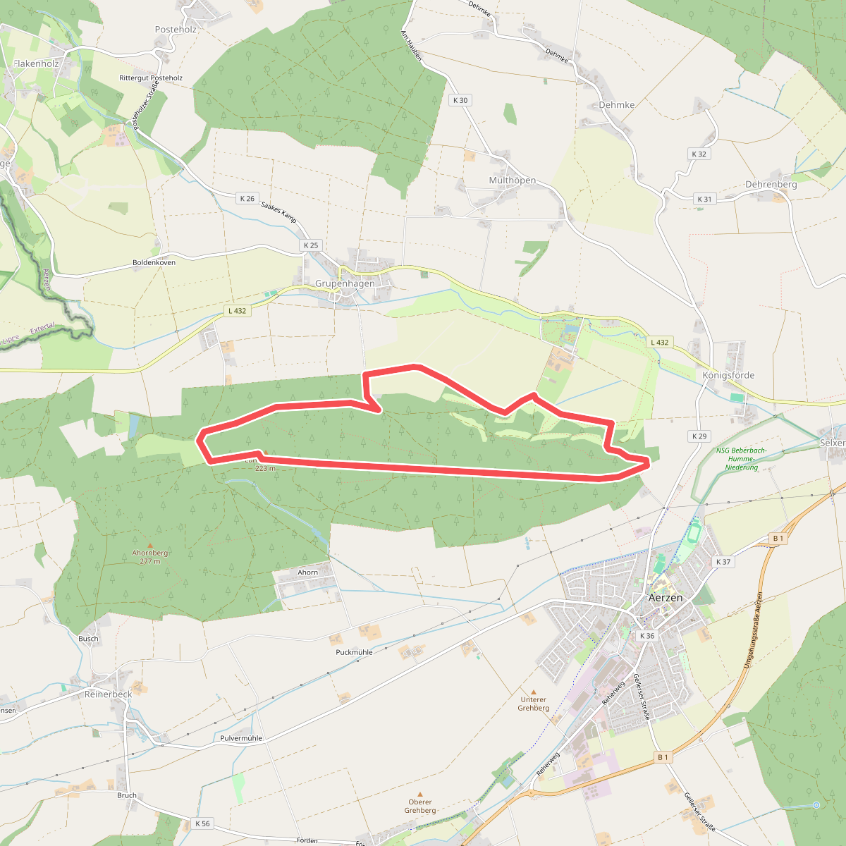
#7. AE8 Rundwanderung auf dem nördlichen Lüninbergsberg oberhalb Schloss Schwöbber
Aerzen
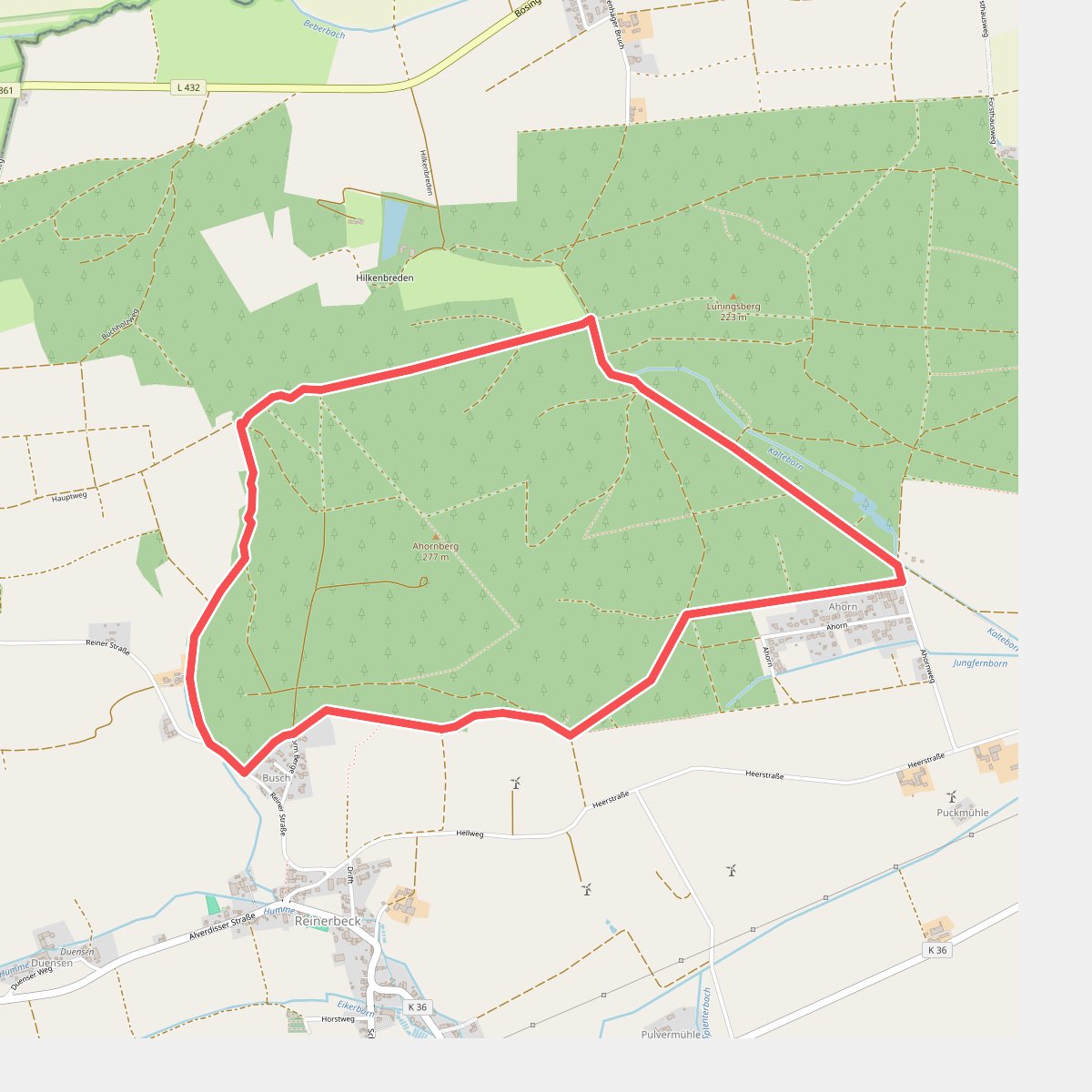
#8. AE9 Rundtour auf dem Ahornberg bei Reinerbeck
Aerzen
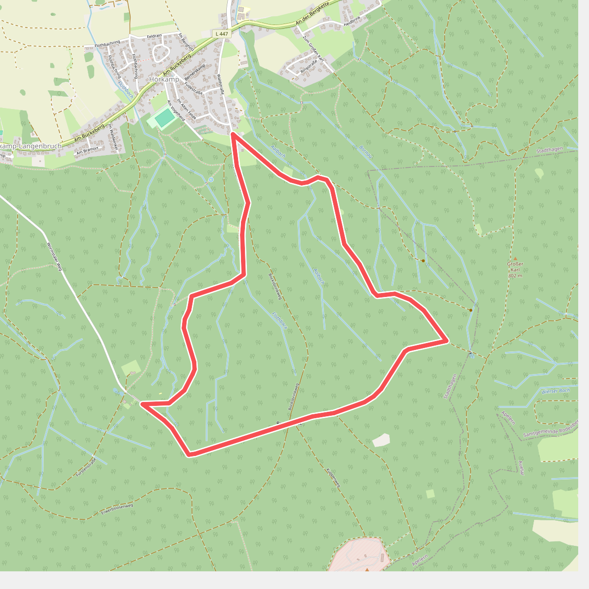
#9. Bornau-Rundweg
Stadthagen
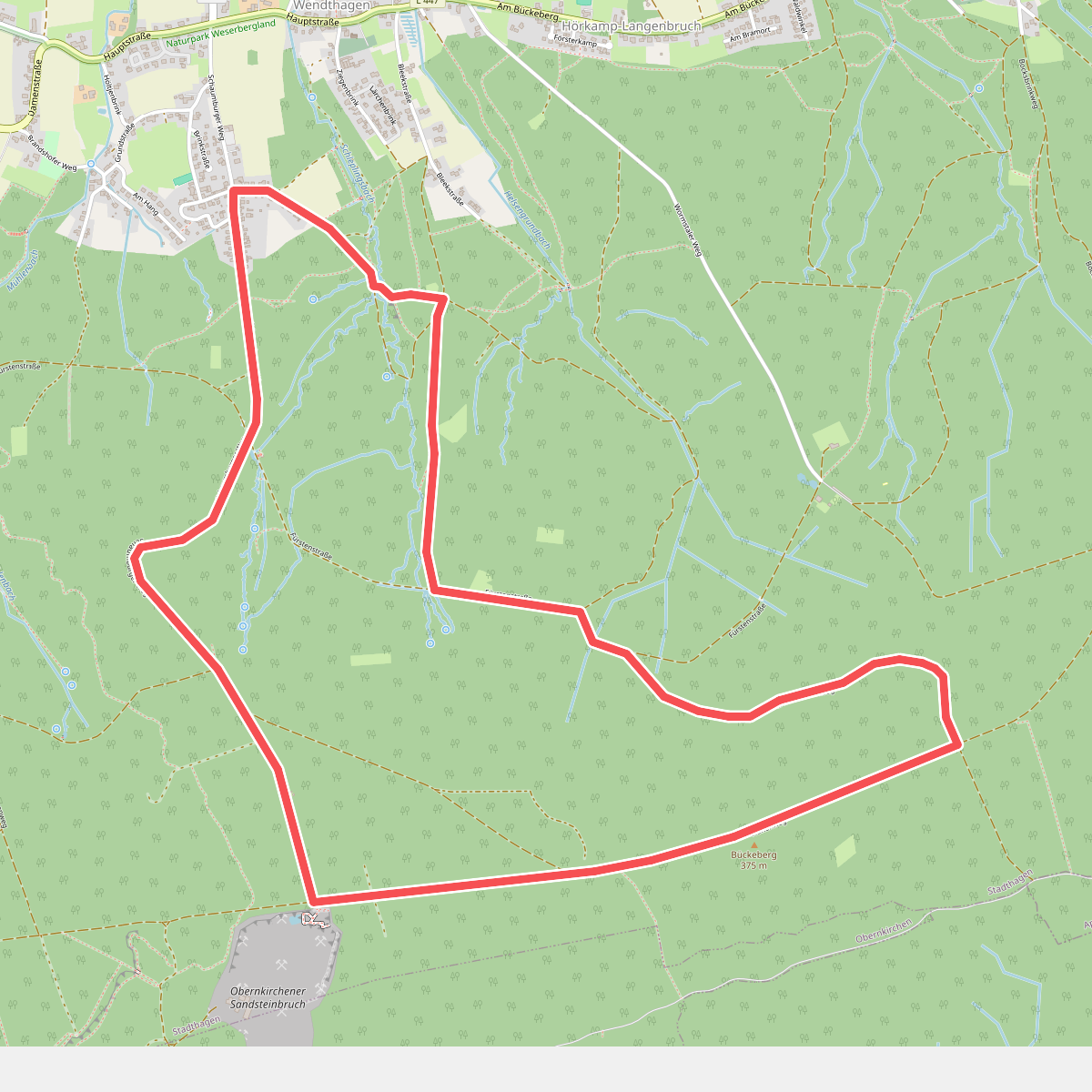
#10. Bremsschacht-7-Rundweg
Stadthagen
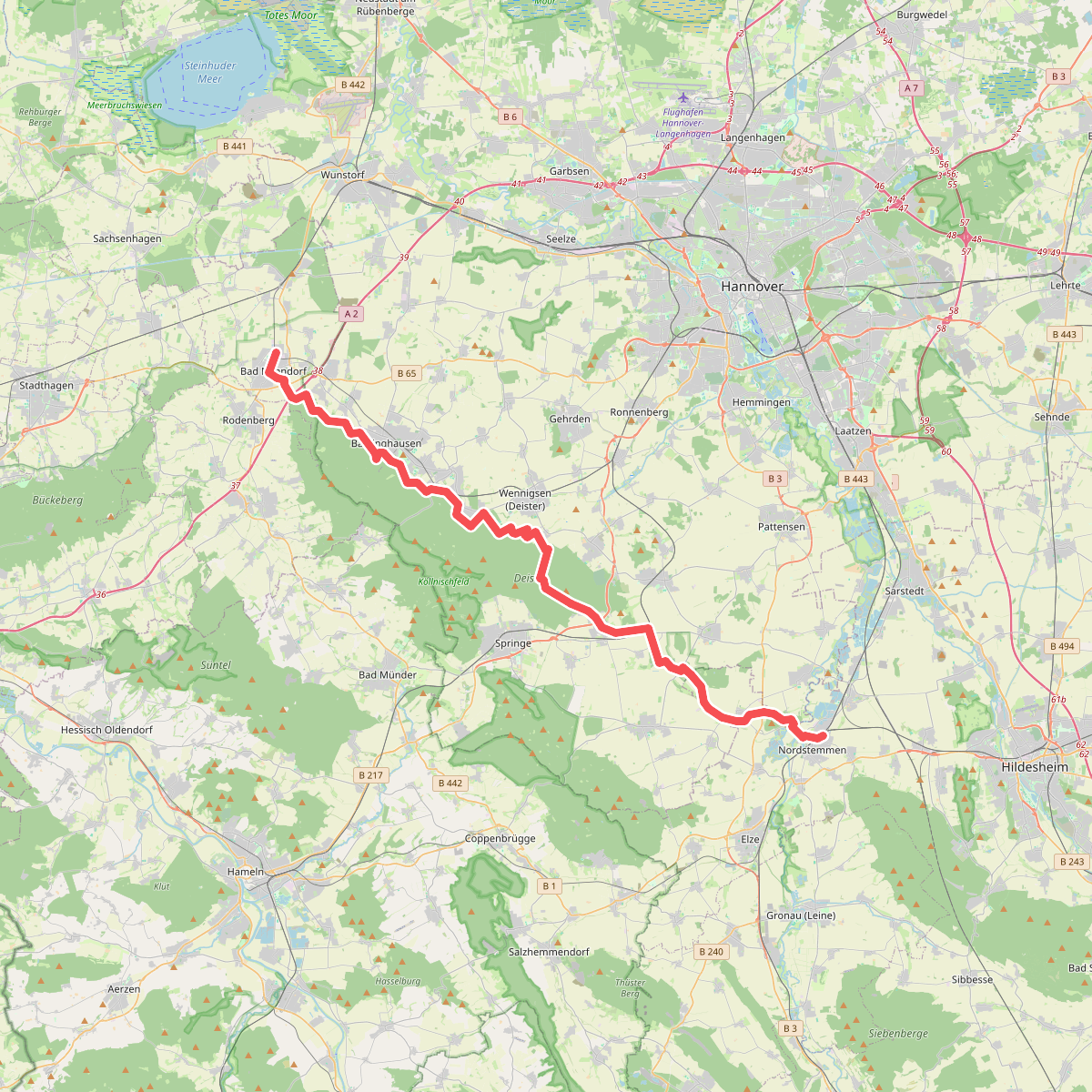
#11. Calenberger Weg
Bad Nenndorf,Barsinghausen,Wennigsen (Deister),Springe,Nordstemmen,Pattensen
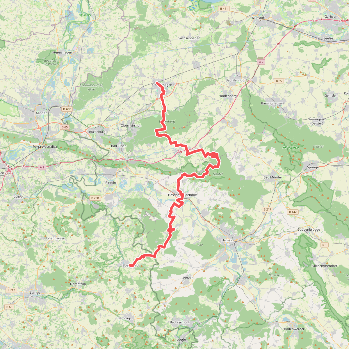
#12. Dachtelfeldweg X12
Stadthagen,Obernkirchen,Auetal,Hülsede,Bad Münder am Deister,Hessisch Oldendorf,Aerzen,Extertal



