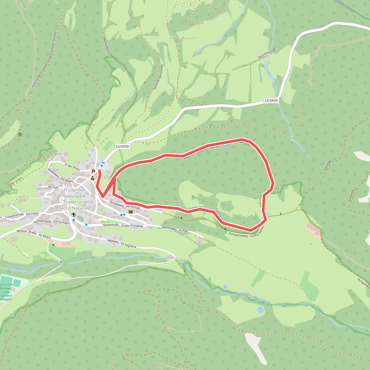
The best hiking routes in Naturpark Trudner Horn - Parco Naturale Monte Corno
Discover the best walks in Naturpark Trudner Horn - Parco Naturale Monte Corno. 27 routes on the map, with descriptions, photos and GPX.
About Naturpark Trudner Horn - Parco Naturale Monte Corno
Naturpark Trudner Horn - Parco Naturale Monte Corno occupies a distinct sub-alpine niche in the south of South Tyrol, characterized by its remarkably low elevation compared to the neighboring high-altitude peaks. This park is defined by a transition between sub-Mediterranean vegetation and northern coniferous forests. Walkers will notice this shift underfoot and overhead, moving from dry, warm porphyry slopes covered in downy oak and manna ash to damp, shaded limestone areas dominated by spruce, larch, and peat bogs like the high mire of Gfrillner Weiher.
Read more
About Naturpark Trudner Horn - Parco Naturale Monte Corno
Naturpark Trudner Horn - Parco Naturale Monte Corno occupies a distinct sub-alpine niche in the south of South Tyrol, characterized by its remarkably low elevation compared to the neighboring high-altitude peaks. This park is defined by a transition between sub-Mediterranean vegetation and northern coniferous forests. Walkers will notice this shift underfoot and overhead, moving from dry, warm porphyry slopes covered in downy oak and manna ash to damp, shaded limestone areas dominated by spruce, larch, and peat bogs like the high mire of Gfrillner Weiher.
Read moreNaturpark Trudner Horn - Parco Naturale Monte Corno occupies a distinct sub-alpine niche in the south of South Tyrol, characterized by its remarkably low elevation compared to the neighboring high-altitude peaks. This park is defined by a transition between sub-Mediterranean vegetation and northern coniferous forests. Walkers will notice this shift underfoot and overhead, moving from dry, warm porphyry slopes covered in downy oak and manna ash to damp, shaded limestone areas dominated by spruce, larch, and peat bogs like the high mire of Gfrillner Weiher.
The trail network consists largely of stony forest tracks, old paved cart paths, and soft dirt trails through larch meadows. Unlike the rugged dolomite walls nearby, the terrain here is characterized by rounded, forested summits, gentle porphyry terraces, and wet meadows. In May, the damp meadows around Altrei are marked by the blooming of marsh marigolds, while the drier limestone slopes show early wild orchids, offering a clear visual marker of the underlying geology.
This area is not a destination for high-alpine climbing or jagged ridge walks. Instead, it offers accessible, mid-elevation hiking through managed woodland and traditional alpine pastures. The lower elevation means the paths are generally clear of snow earlier in spring than the surrounding high ranges, making it a practical choice for early-season walking when the higher passes remain impassable.
Hiking routes in Naturpark Trudner Horn - Parco Naturale Monte Corno (27)
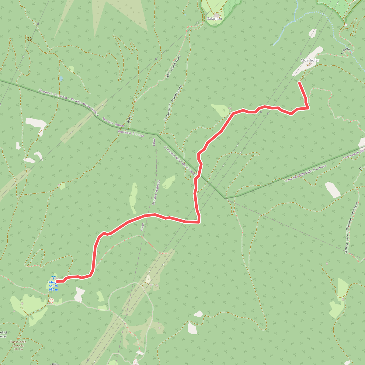
#1. 1 - Sauch
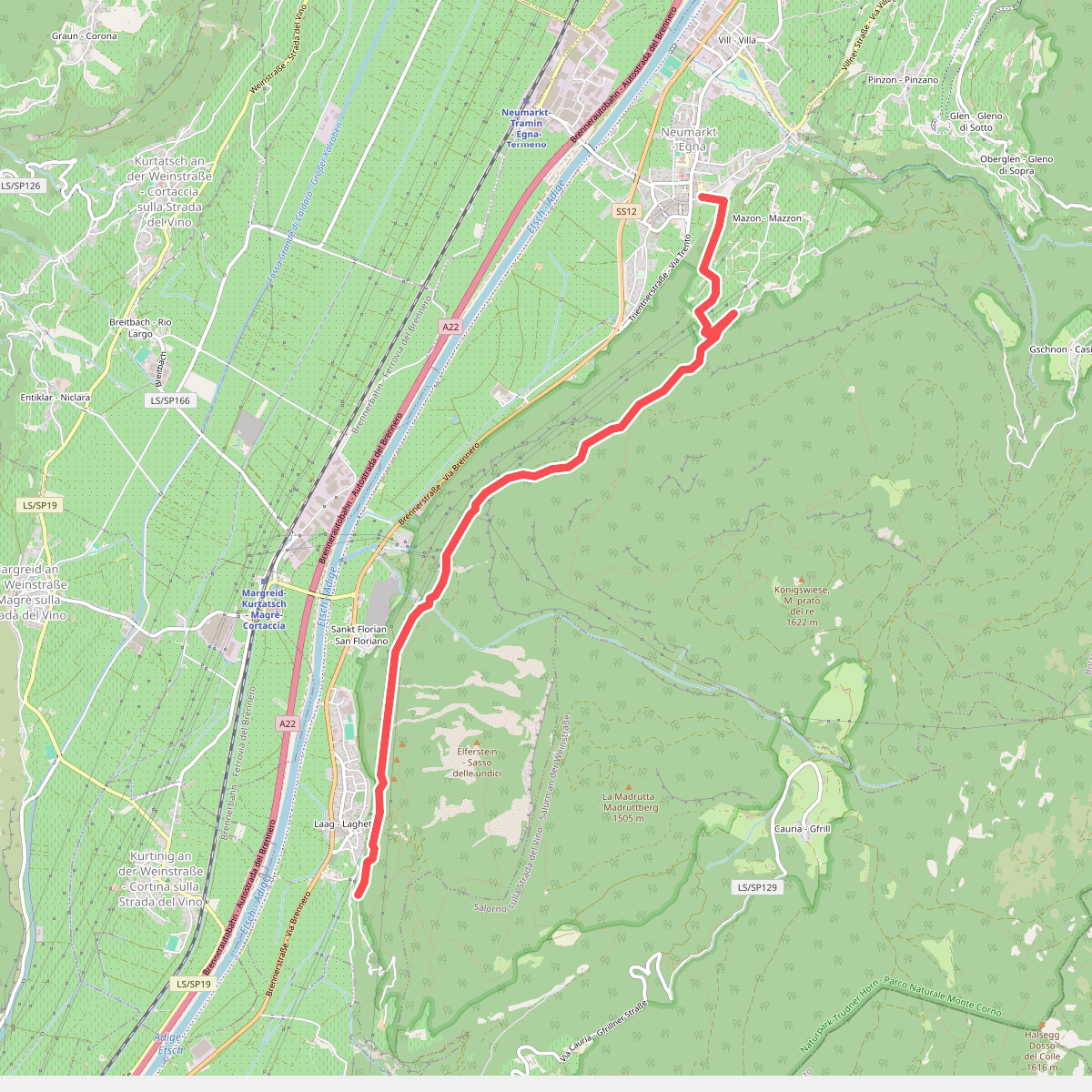
#2. 8 - Neumarkt => Laag => Gfrill
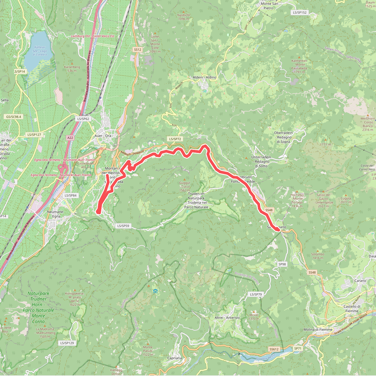
#3. Bahnweg
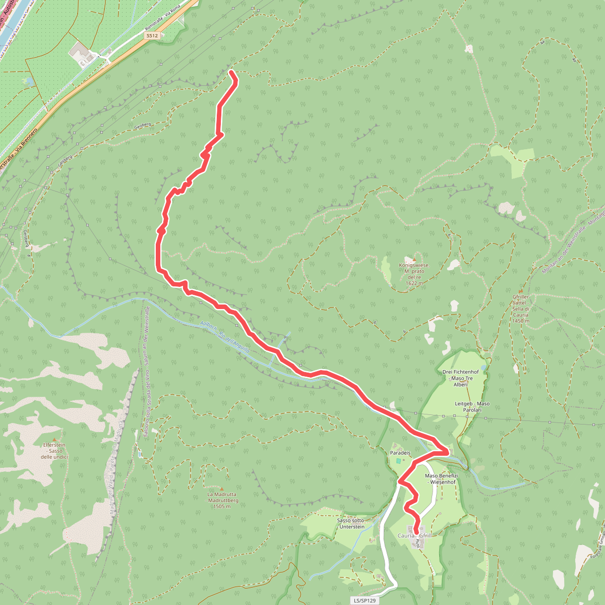
#4. Banklsteig
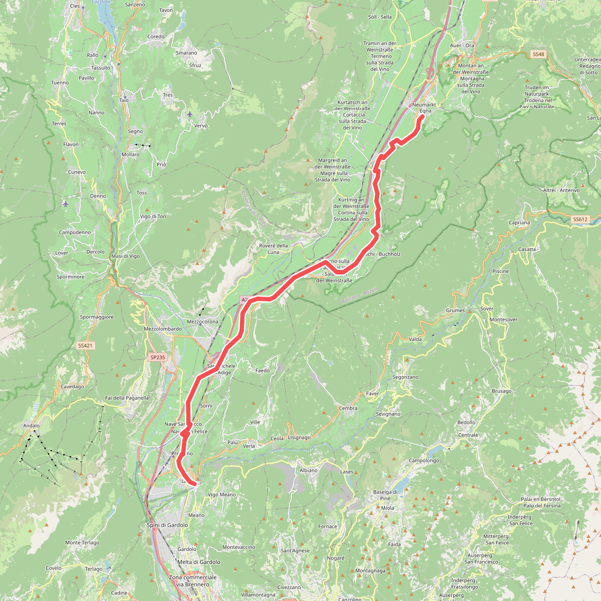
#5. Cammino del beato Enrico - Tappa 3
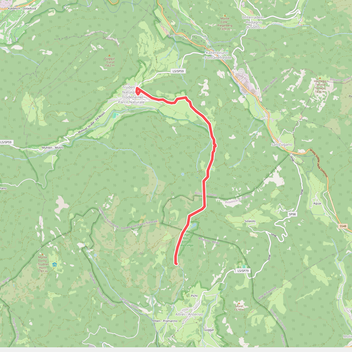
#6. Der Saumpfad - La Mulattiera
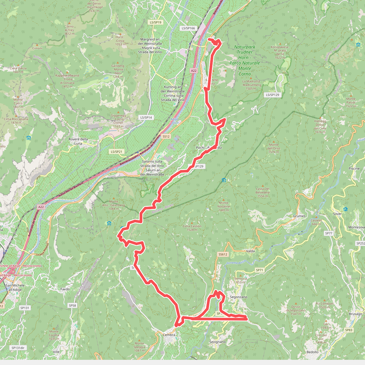
#7. Dürerweg
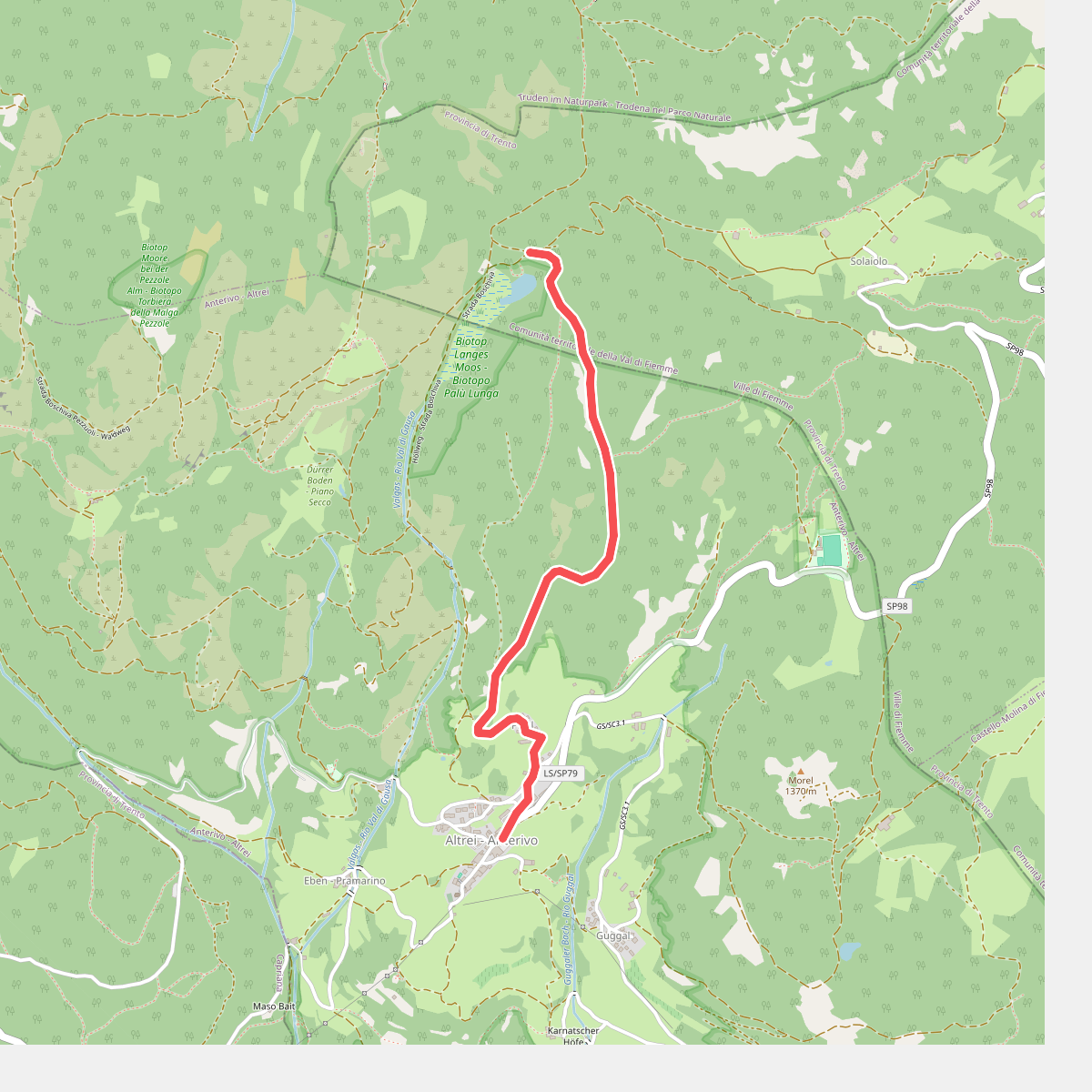
#8. Lärcheneggweg
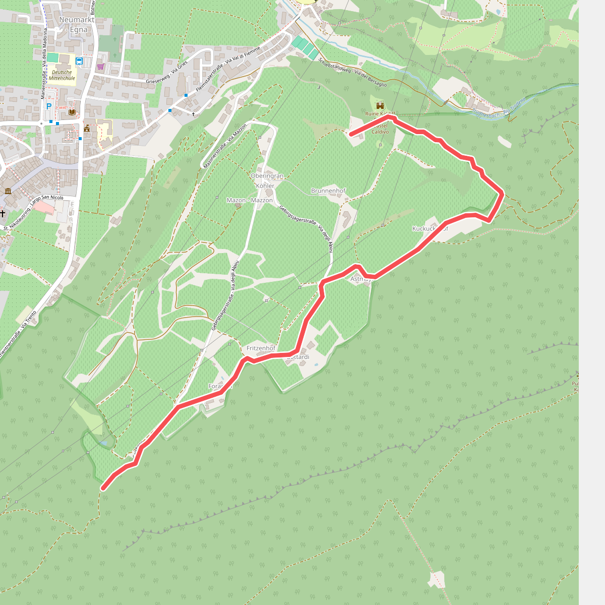
#9. Mazoner Hochweg
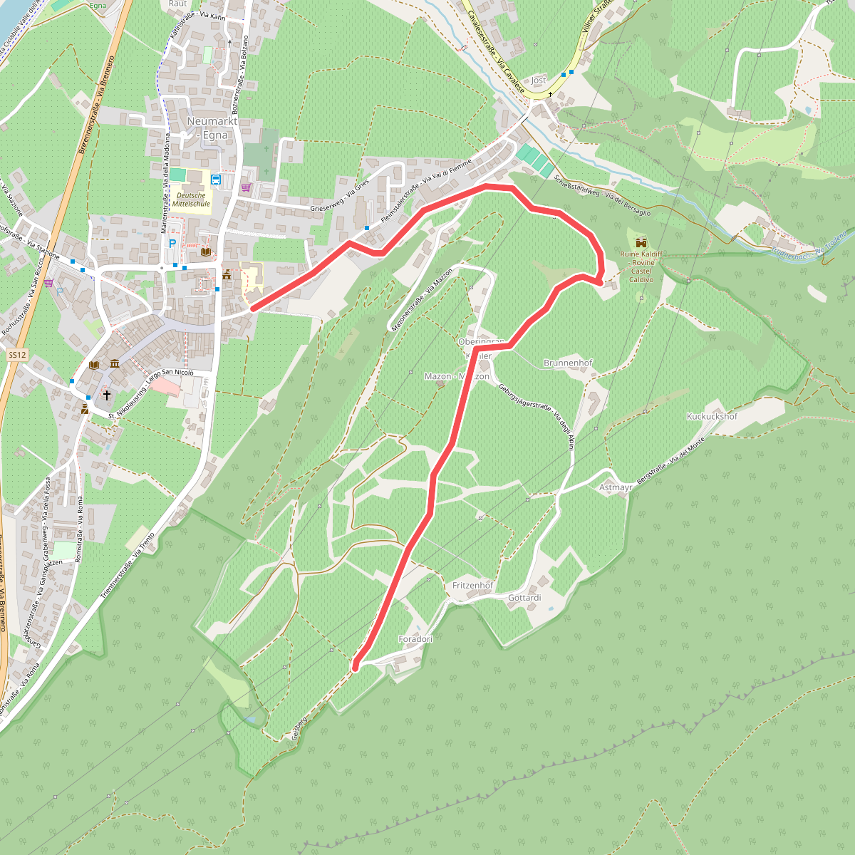
#10. Mazoner Spazierweg
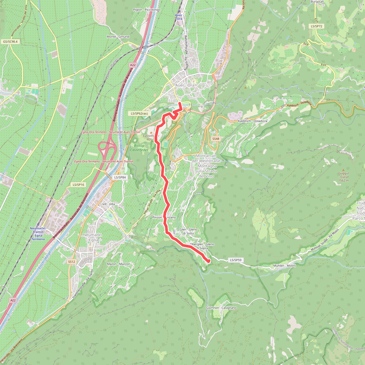
#11. Ora Auer - Castelfeder - Pinzon Pinzano