

The best hiking routes in Naturpark Texelgruppe - Parco naturale Gruppo di Tessa
Discover the best walks in Naturpark Texelgruppe - Parco naturale Gruppo di Tessa. 39 routes on the map, with descriptions, photos and GPX.
About Naturpark Texelgruppe - Parco naturale Gruppo di Tessa
Naturpark Texelgruppe - Parco naturale Gruppo di Tessa presents a stark transition between Mediterranean-influenced valley floors and high-alpine rock. Unlike flatter pasture reserves, this area is defined by its extreme verticality, where dry, sun-baked gneiss and schist slopes on the southern flanks contrast sharply with the cold, lake-strewn granite basins of the high-altitude interior. Walkers should expect steep, sustained climbs rather than gentle strolls, with paths quickly rising from orchards into larch forests and bare rock fields.
Read more
About Naturpark Texelgruppe - Parco naturale Gruppo di Tessa
Naturpark Texelgruppe - Parco naturale Gruppo di Tessa presents a stark transition between Mediterranean-influenced valley floors and high-alpine rock. Unlike flatter pasture reserves, this area is defined by its extreme verticality, where dry, sun-baked gneiss and schist slopes on the southern flanks contrast sharply with the cold, lake-strewn granite basins of the high-altitude interior. Walkers should expect steep, sustained climbs rather than gentle strolls, with paths quickly rising from orchards into larch forests and bare rock fields.
Read moreNaturpark Texelgruppe - Parco naturale Gruppo di Tessa presents a stark transition between Mediterranean-influenced valley floors and high-alpine rock. Unlike flatter pasture reserves, this area is defined by its extreme verticality, where dry, sun-baked gneiss and schist slopes on the southern flanks contrast sharply with the cold, lake-strewn granite basins of the high-altitude interior. Walkers should expect steep, sustained climbs rather than gentle strolls, with paths quickly rising from orchards into larch forests and bare rock fields.
Underfoot, the terrain demands careful attention. Lower paths often consist of narrow, stone-walled irrigation canal trails known as Waalwege, which are flat but bordered by steep drops. Higher up, these give way to rough, blocky granite steps, loose scree, and exposed rock ledges secured with fixed steel cables. The high-altitude Meraner Höhenweg loop connects these zones, offering a sustained mountain walk where the soil changes from soft pine needle duff to hard, glaciated rock slabs.
In late June, the melting snow reveals the high alpine lakes of the Sopranes basin, where the water remains icy and the surrounding ground is dominated by dwarf shrub heath and bare stone. This is a landscape of stark contrasts, where you can look down onto vineyards while standing on cold, wind-swept alpine passes. It is not a place for casual seaside or woodland wandering, but a serious mountain environment where route choice determines whether you tread on manicured gravel or rugged, high-altitude rock.
Hiking routes in Naturpark Texelgruppe - Parco naturale Gruppo di Tessa (39)
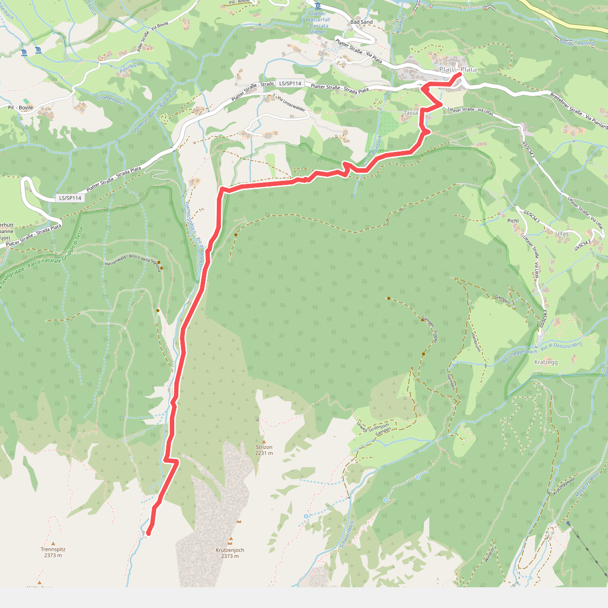
#1. 10
Moos in Passeier - Moso in Passiria
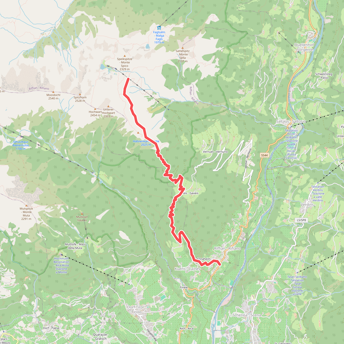
#2. 21
Riffian - Rifiano,Kuens - Caines
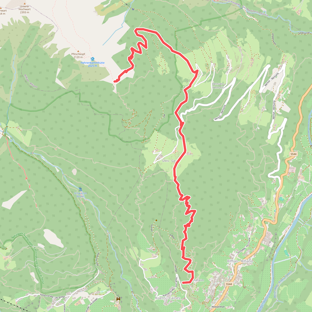
#3. 21A
Riffian - Rifiano
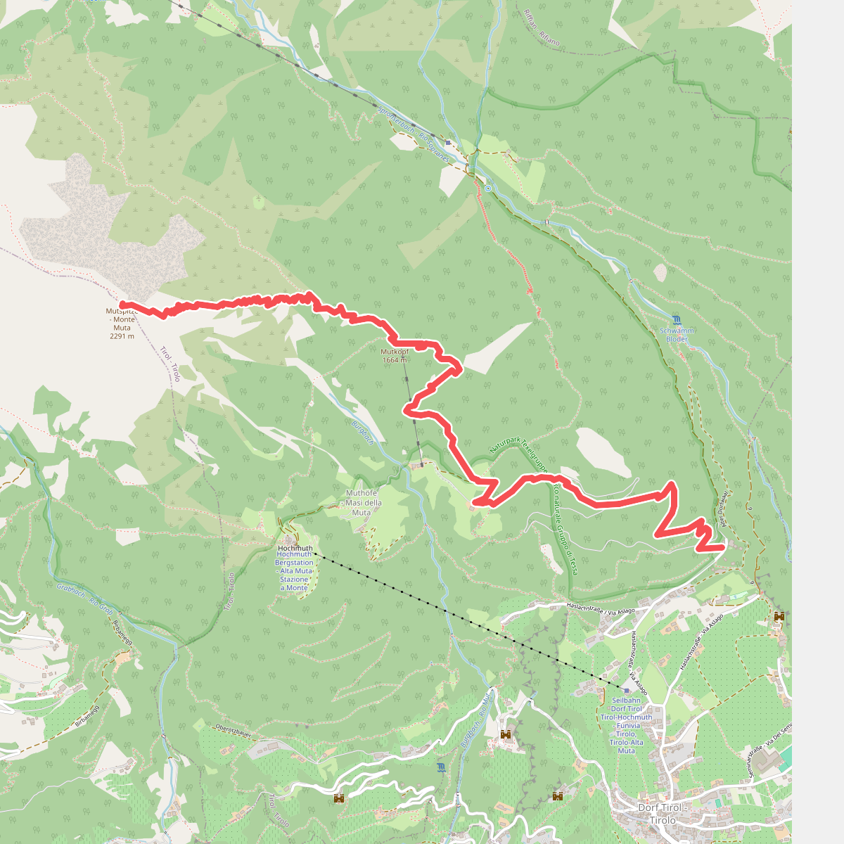
#4. 23
Tirol - Tirolo
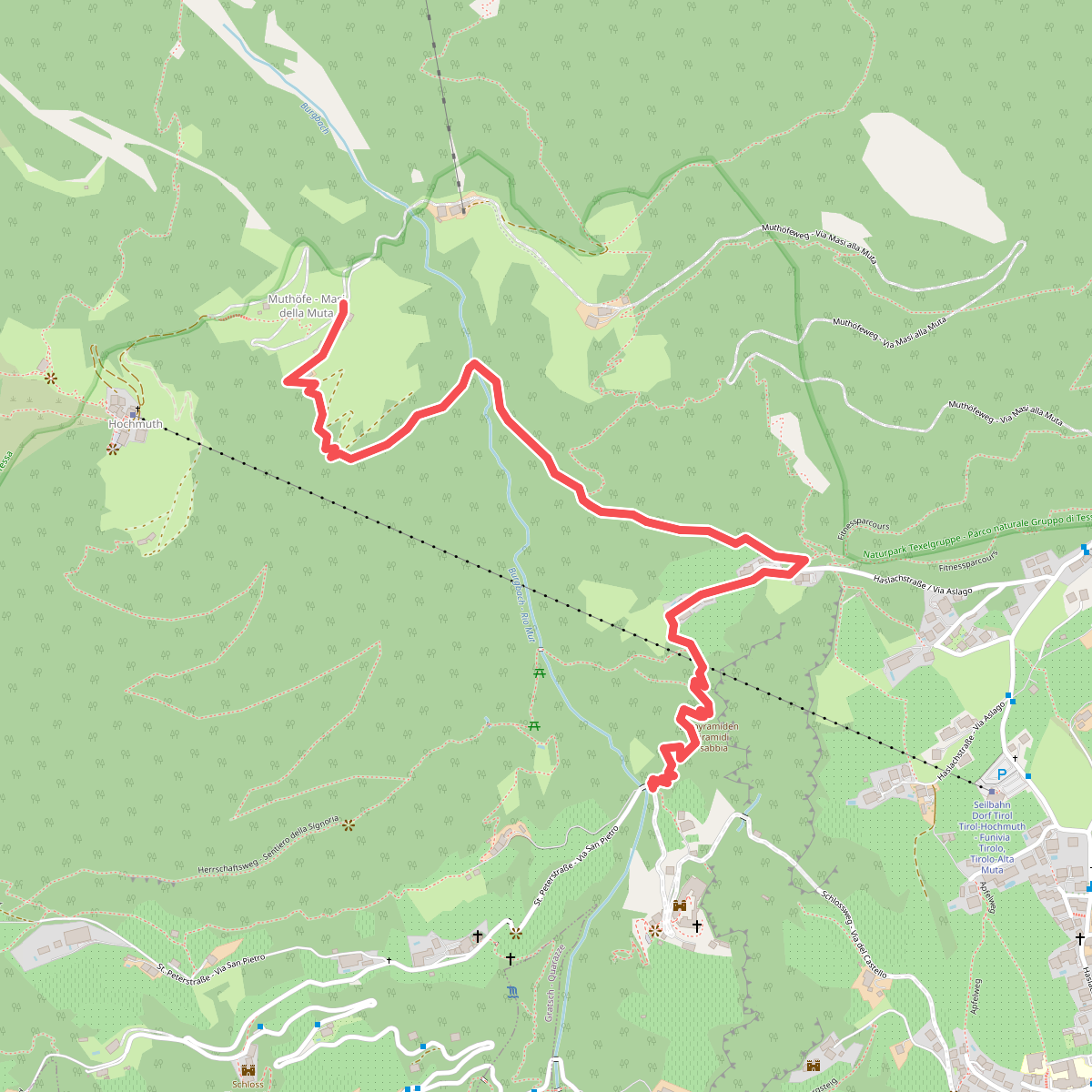
#5. 23A
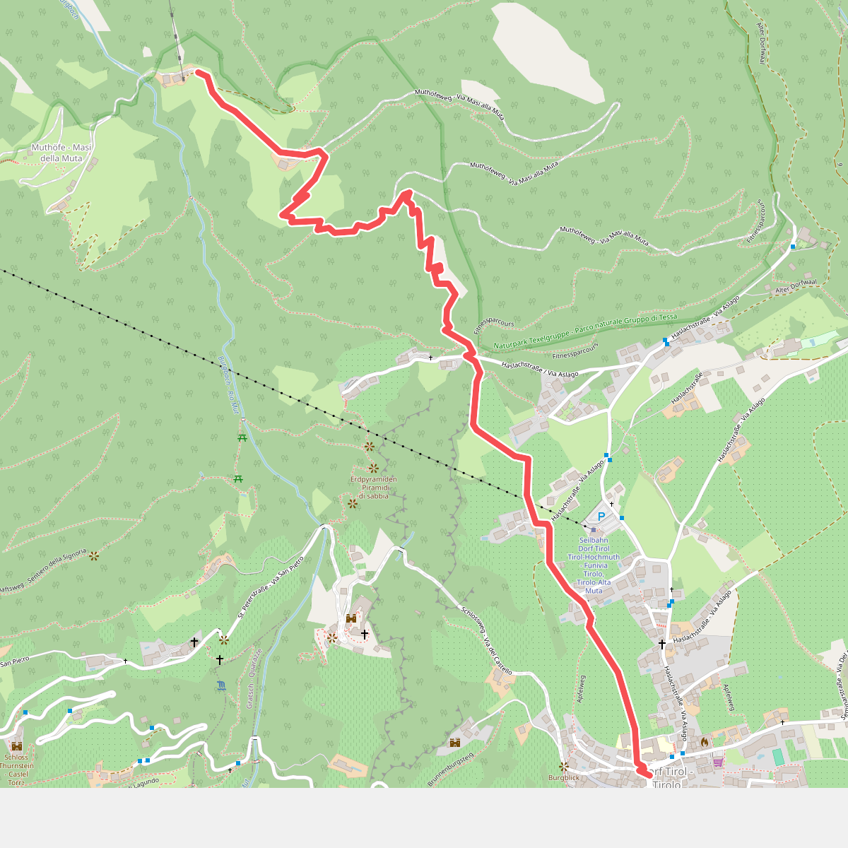
#6. 23B
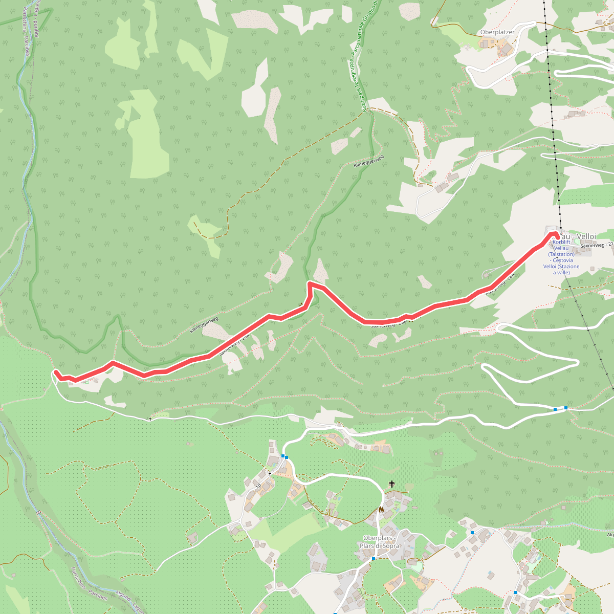
#7. 26A
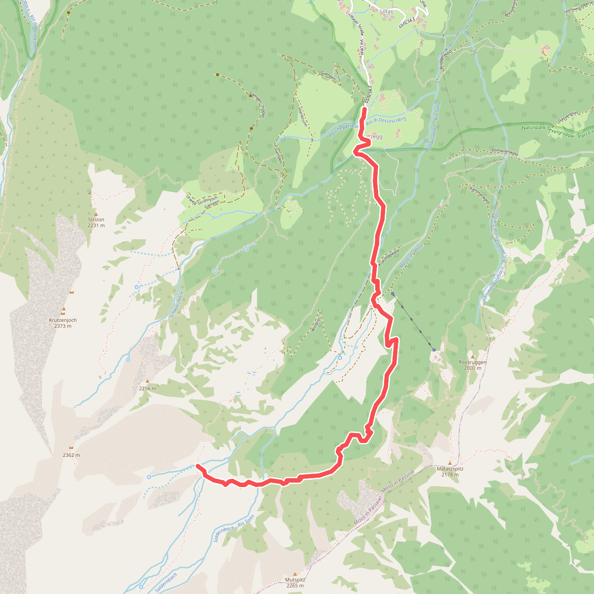
#8. 2A
Moos in Passeier - Moso in Passiria
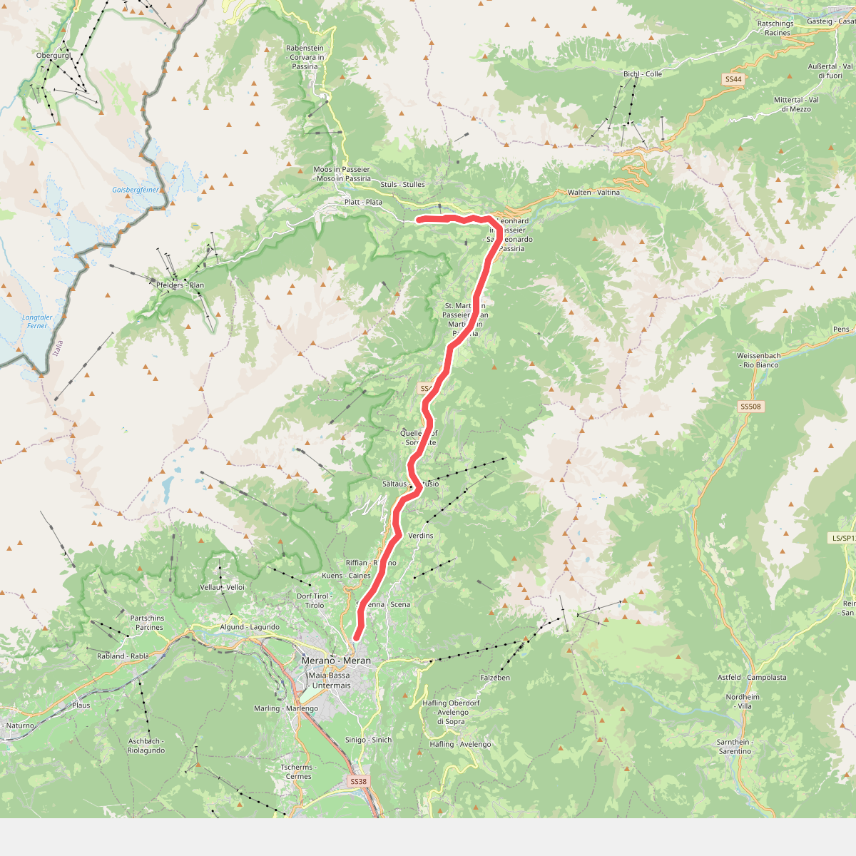
#9. 30
St. Martin in Passeier - San Martino in Passiria,St. Leonhard in Passeier - San Leonardo in Passiria,Riffian - Rifiano,Schenna - Scena,Kuens - Caines,Tirol - Tirolo
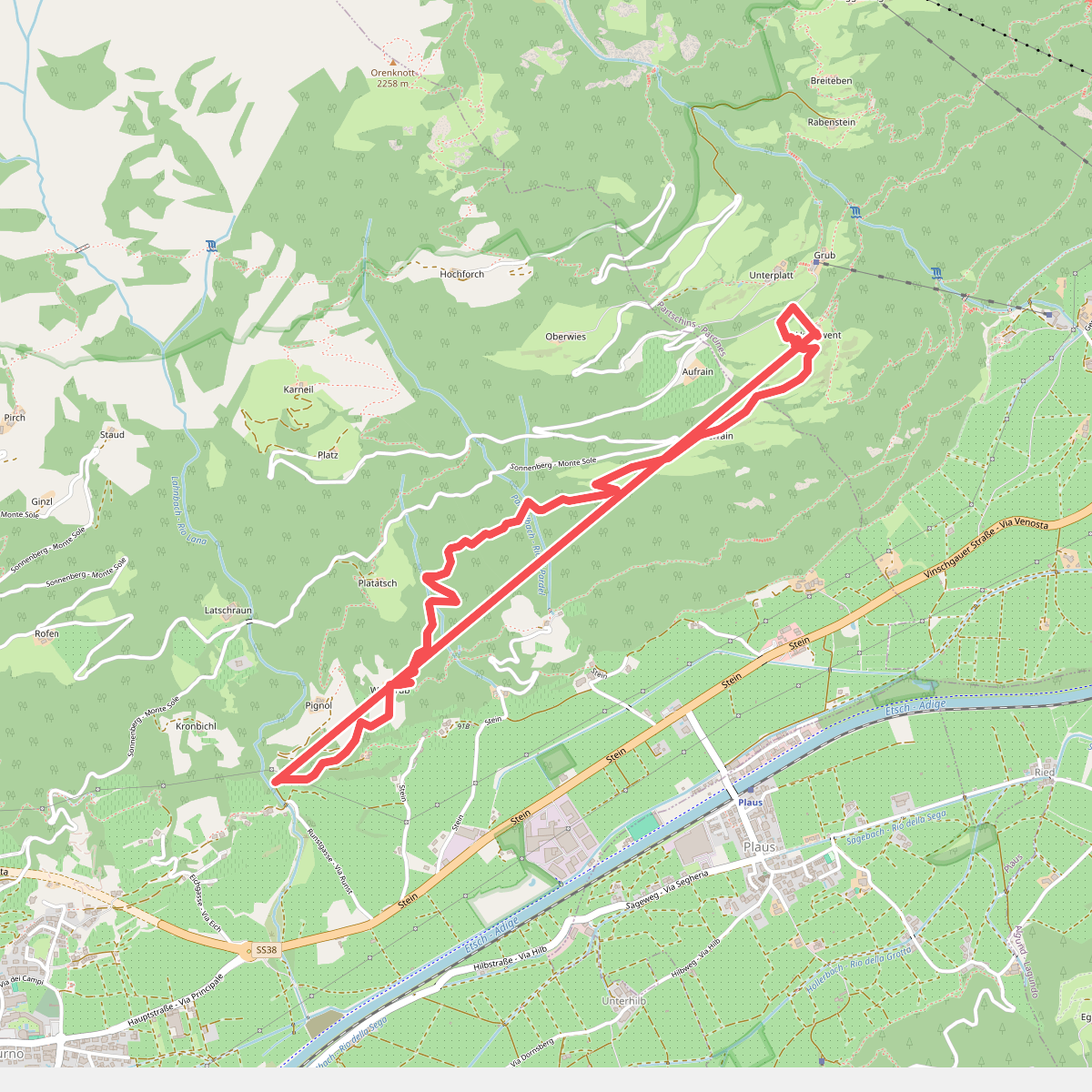
#10. 39A
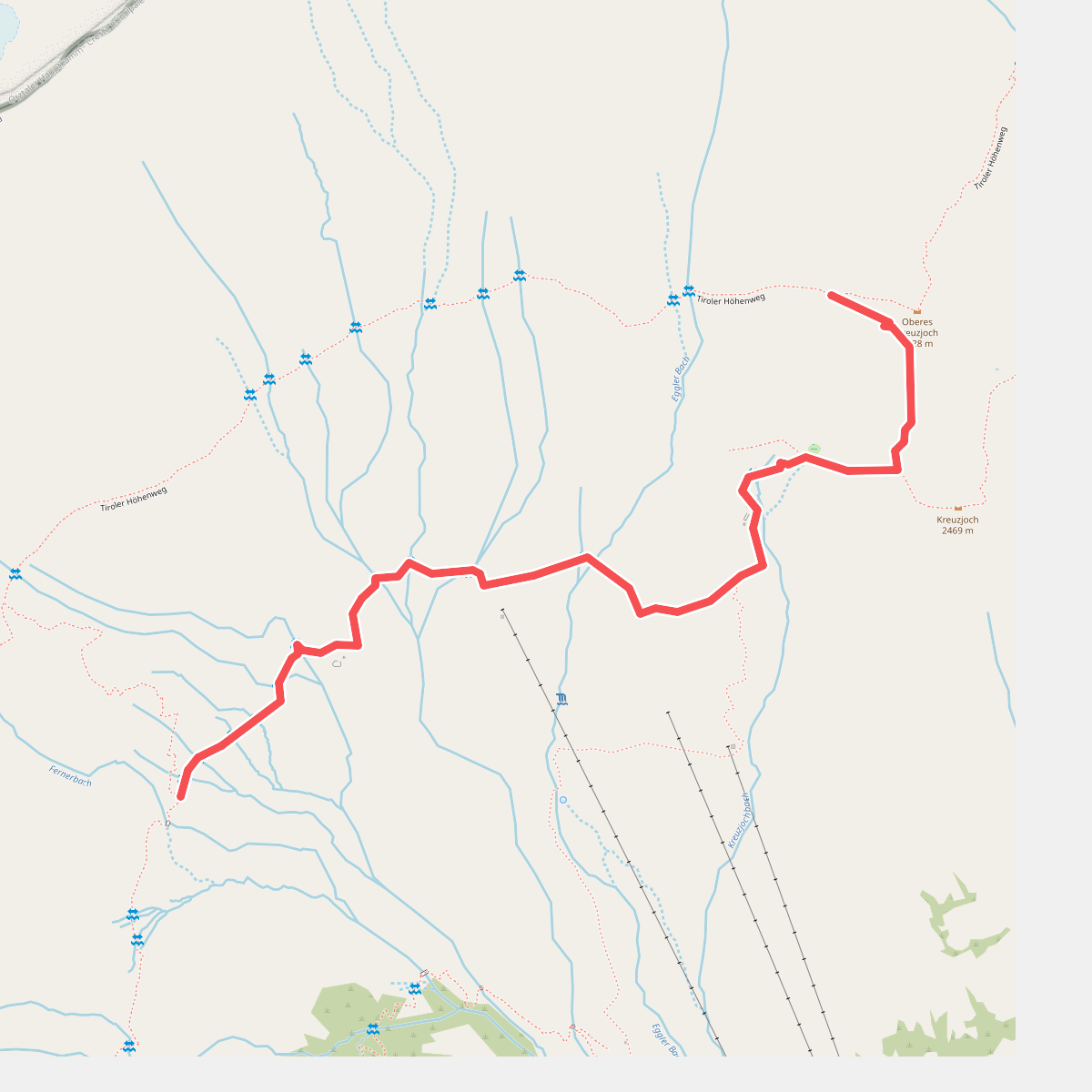
#11. 47
Moos in Passeier - Moso in Passiria
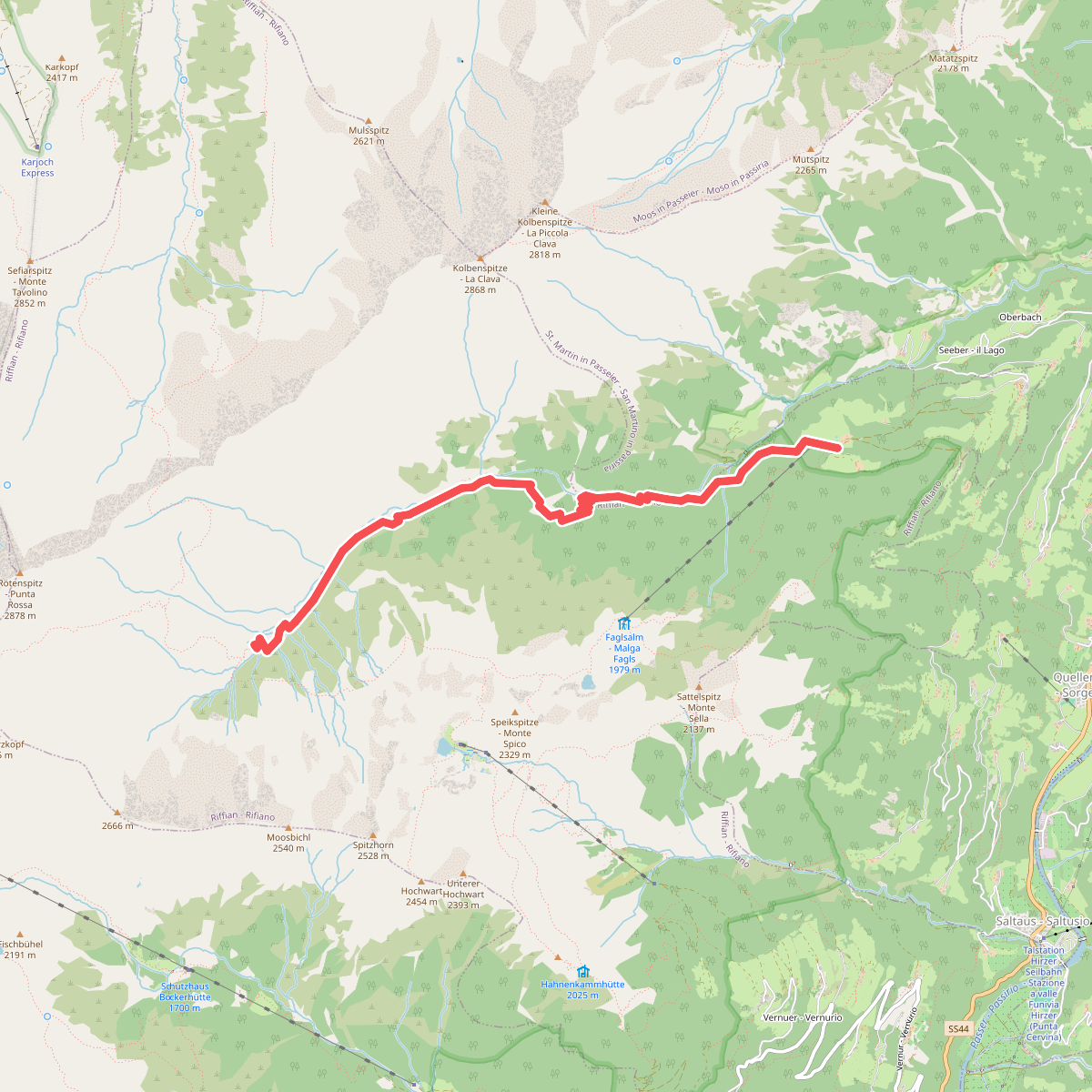
#12. 4A
Riffian - Rifiano



