

The best hiking routes in Naturpark Südschwarzwald
Discover the best walks in Naturpark Südschwarzwald. 792 routes on the map, with descriptions, photos and GPX.
About Naturpark Südschwarzwald
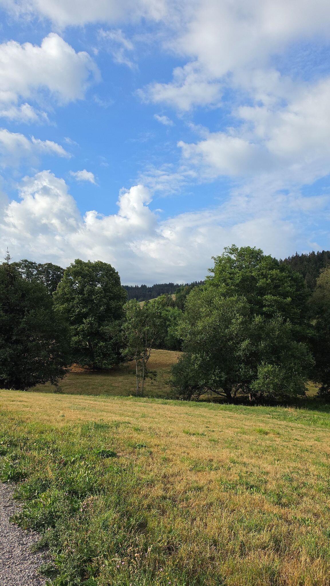
Naturpark Südschwarzwald offers a landscape of high, rounded granite domes, wide highland pastures, and deep, dark coniferous forests. Unlike the sharper peaks of younger mountain ranges, this southern section of the Black Forest is characterized by its massive, weathered plateaus and steep, glaciated valleys. Walkers will notice a distinct transition between the dense, shadowy spruce woods on the slopes and the open, wind-swept heathlands of the highest elevations, such as the Feldberg region.
Read more
About Naturpark Südschwarzwald
Naturpark Südschwarzwald offers a landscape of high, rounded granite domes, wide highland pastures, and deep, dark coniferous forests. Unlike the sharper peaks of younger mountain ranges, this southern section of the Black Forest is characterized by its massive, weathered plateaus and steep, glaciated valleys. Walkers will notice a distinct transition between the dense, shadowy spruce woods on the slopes and the open, wind-swept heathlands of the highest elevations, such as the Feldberg region.
Read moreNaturpark Südschwarzwald offers a landscape of high, rounded granite domes, wide highland pastures, and deep, dark coniferous forests. Unlike the sharper peaks of younger mountain ranges, this southern section of the Black Forest is characterized by its massive, weathered plateaus and steep, glaciated valleys. Walkers will notice a distinct transition between the dense, shadowy spruce woods on the slopes and the open, wind-swept heathlands of the highest elevations, such as the Feldberg region.
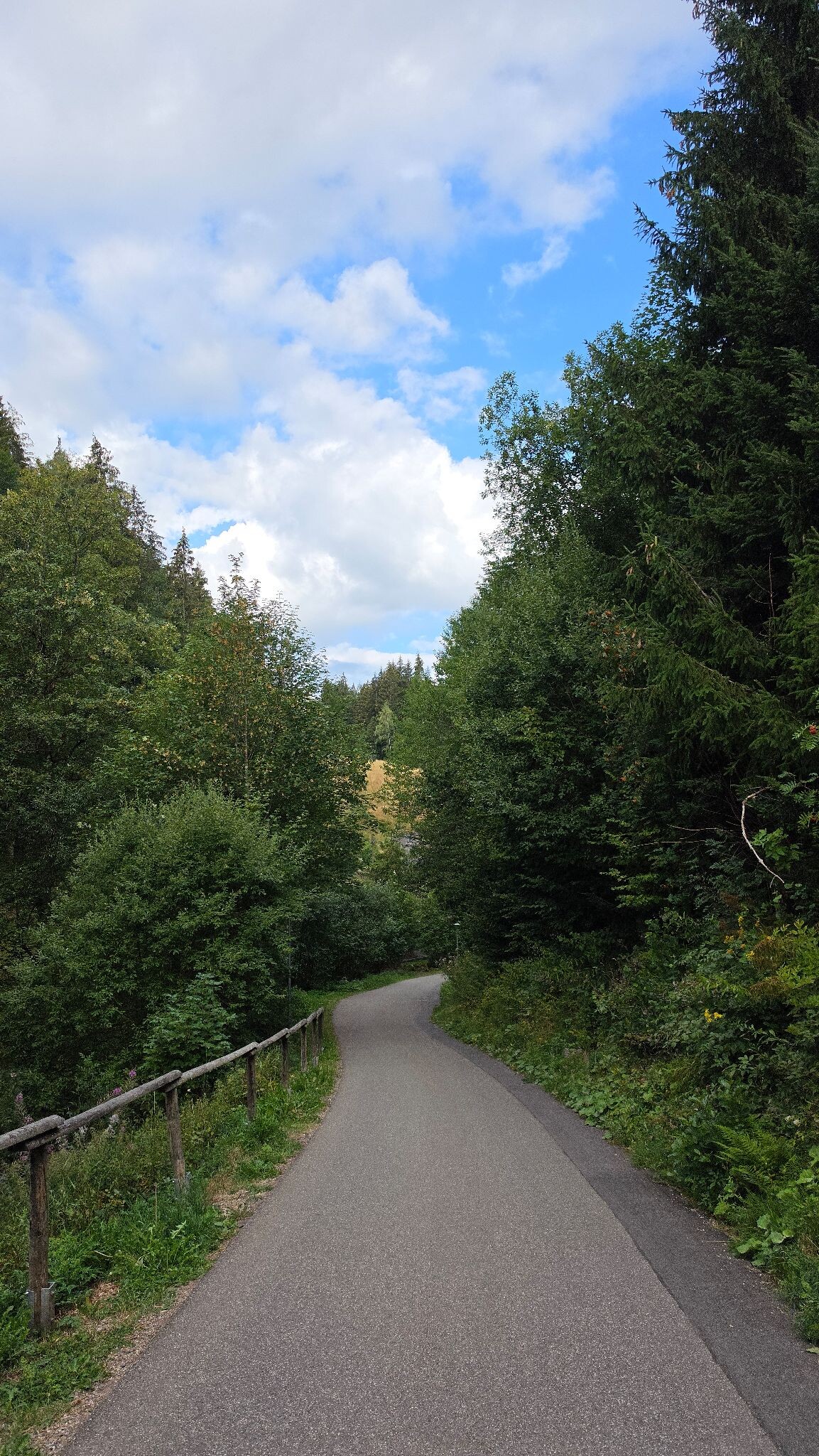
Underfoot, the trails vary from soft, needle-strewn forest paths and damp peat-moss tracks to stony, root-filled ascents. In the higher boggy areas, wooden boardwalks protect the fragile wetland vegetation from boots. The landscape is shaped by its glacial past, visible in the dark, circular tarns like the Feldsee, which sit in deep cirques carved out of the mountainsides.
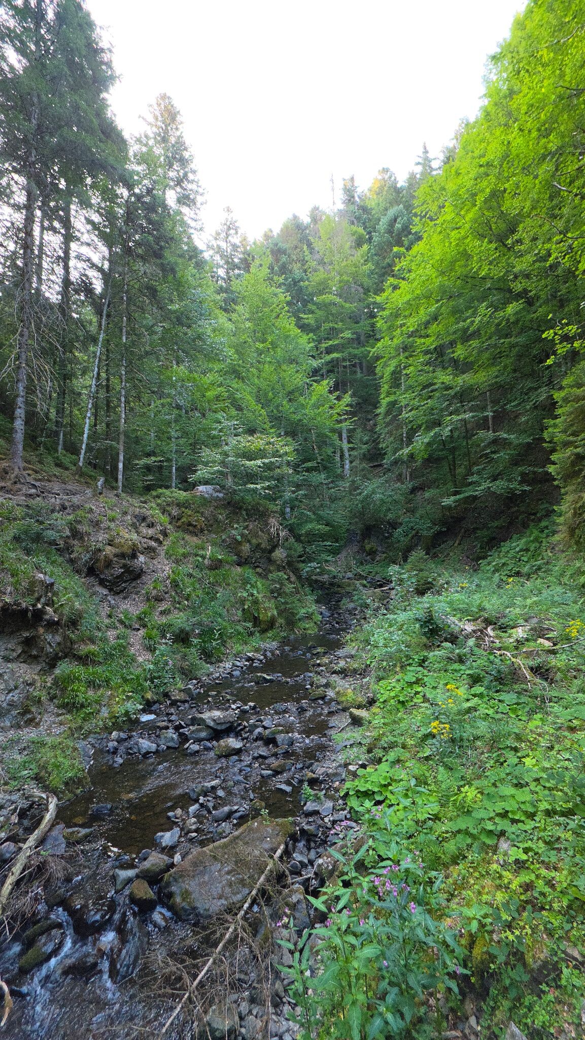
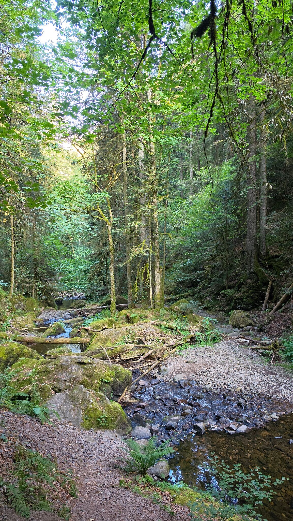
This area is not a place of jagged limestone spires or dry, sandy plains. It is a humid, green highland where water is constantly present, trickling through mossy ravines and feeding wide, rushing streams. While the well-known summits and lakeside paths attract many visitors, the deeper forest tracks and high pasture trails offer a much quieter walking experience.
Hiking routes in Naturpark Südschwarzwald (792)
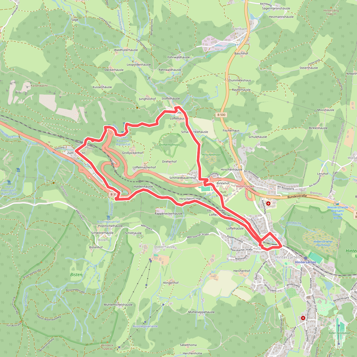
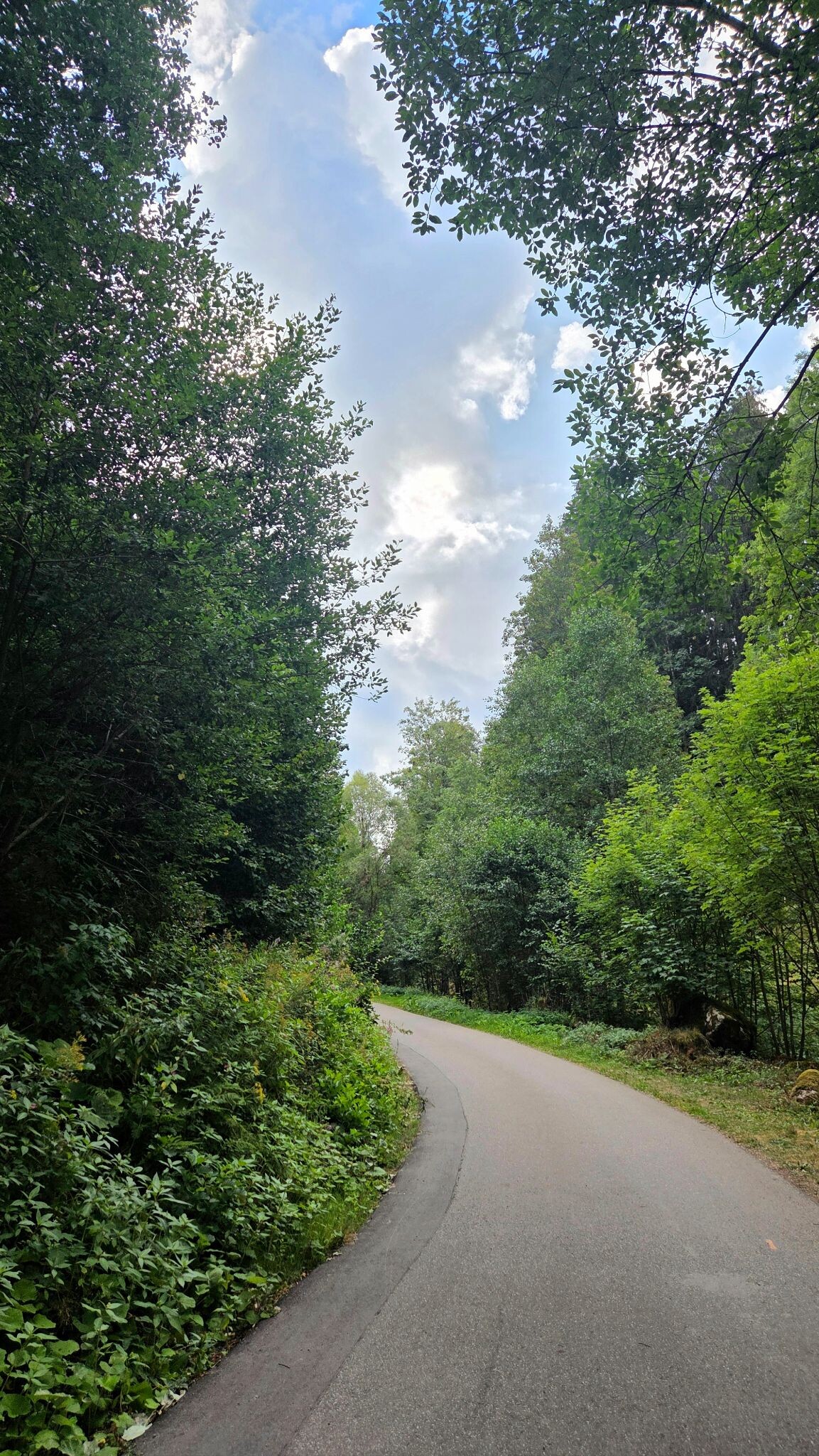
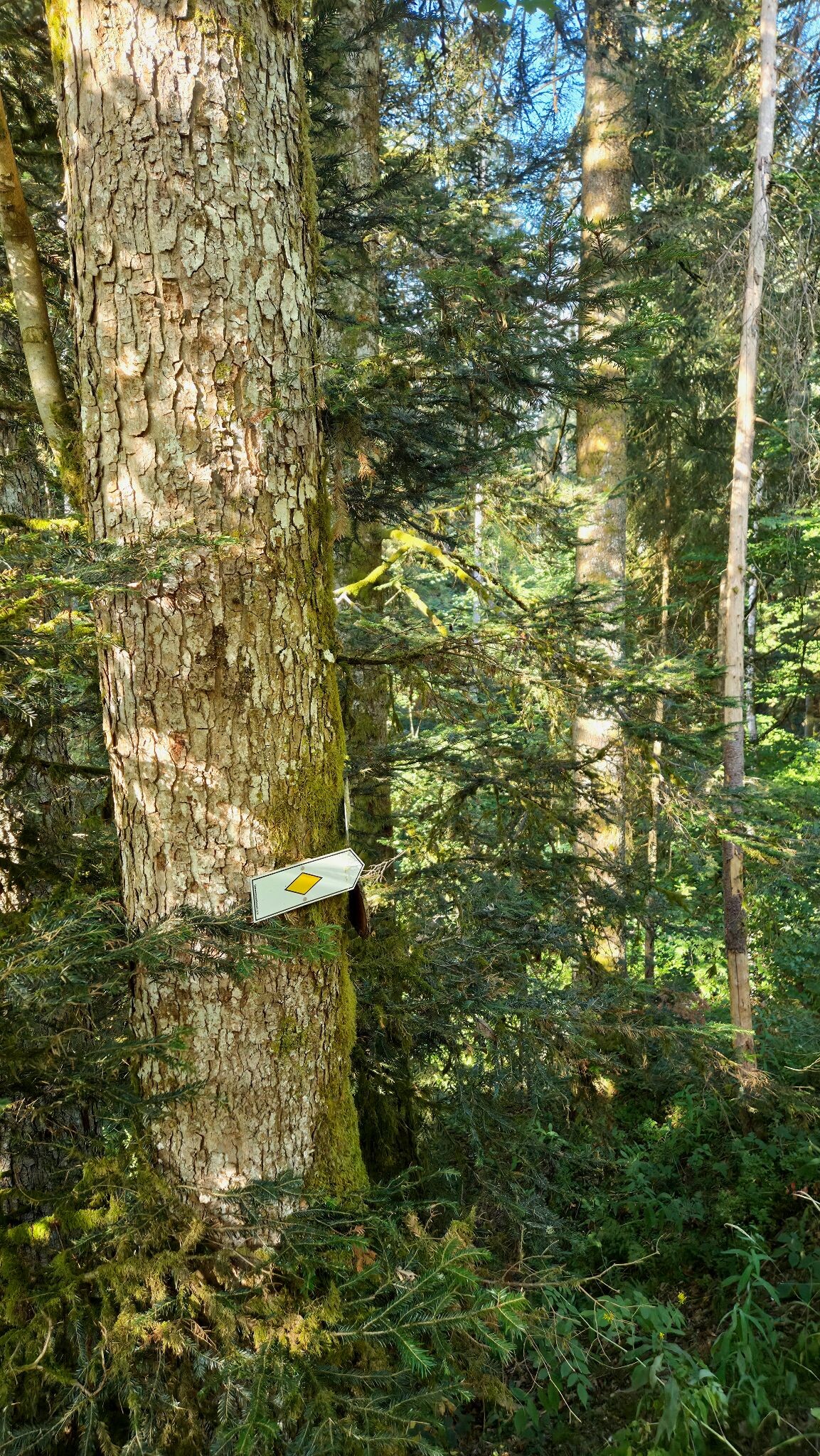
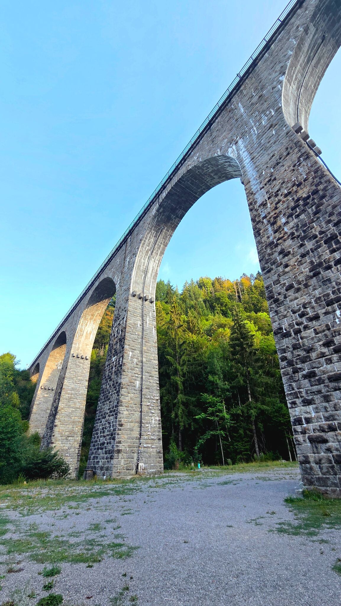
#1. Heimatpfad Hochschwarzwald von Hinterzarten durch die Ravennaschlucht
Hinterzarten,Breitnau
#2. Rundweg Goldener Kopf
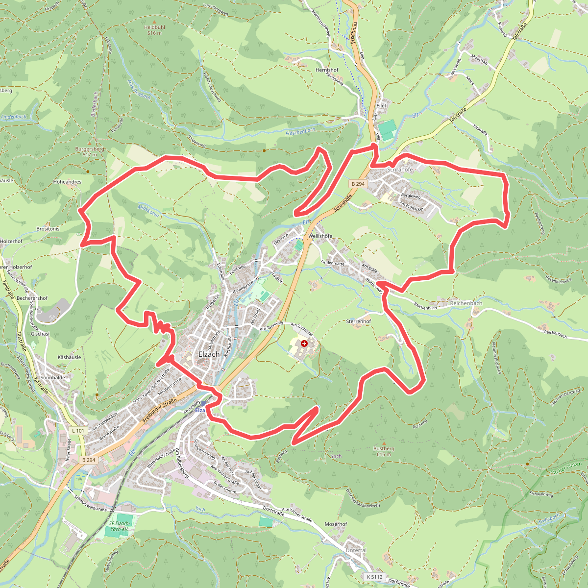
Elzach,Biederbach
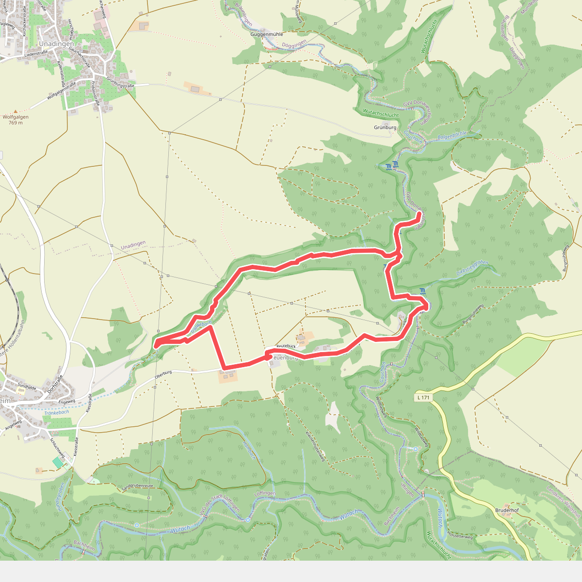
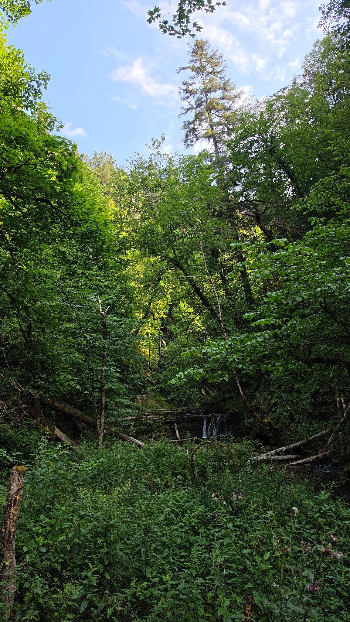
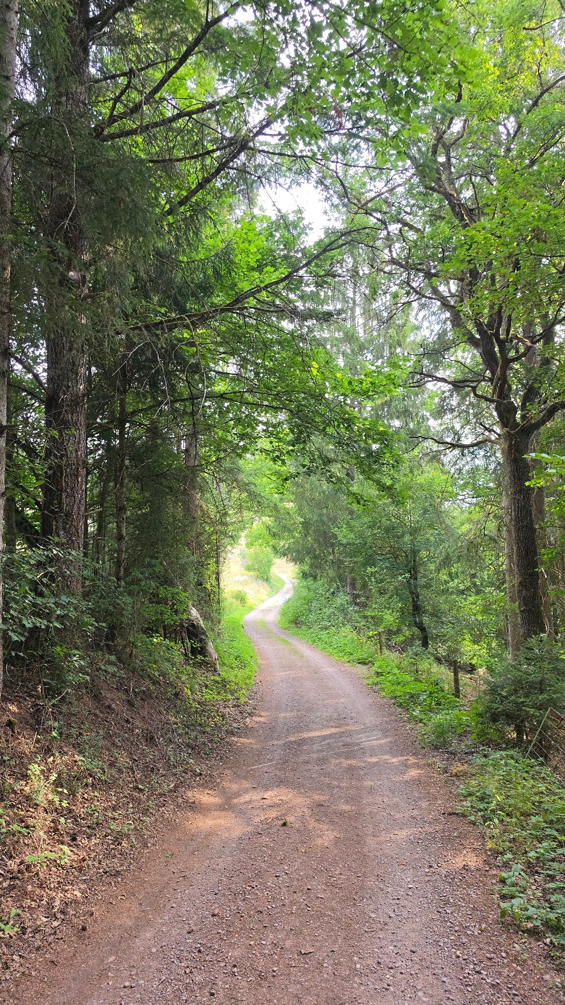
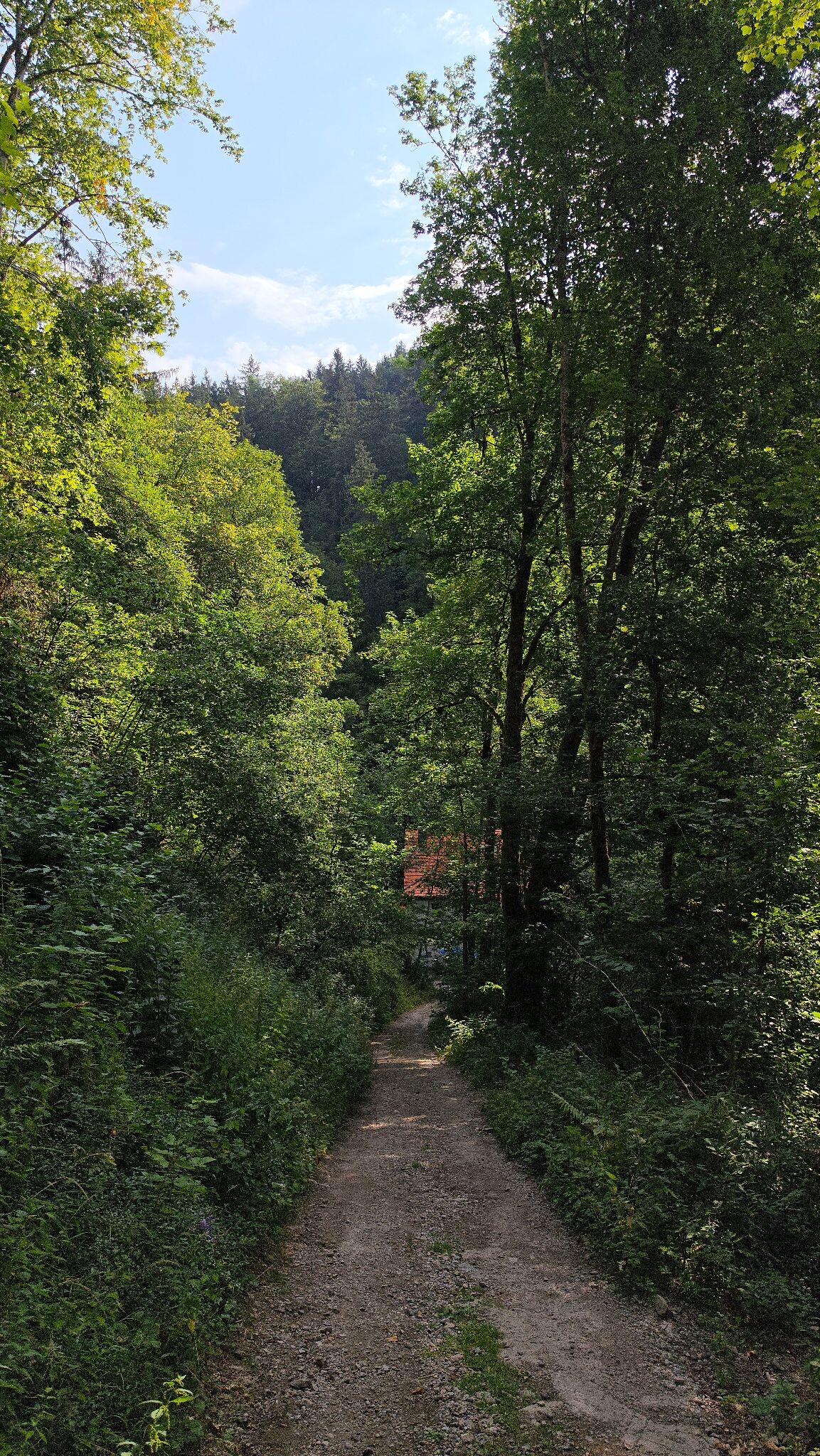
#3. WandelWeb route - 3 Schluchten-tour (verkort)
Löffingen
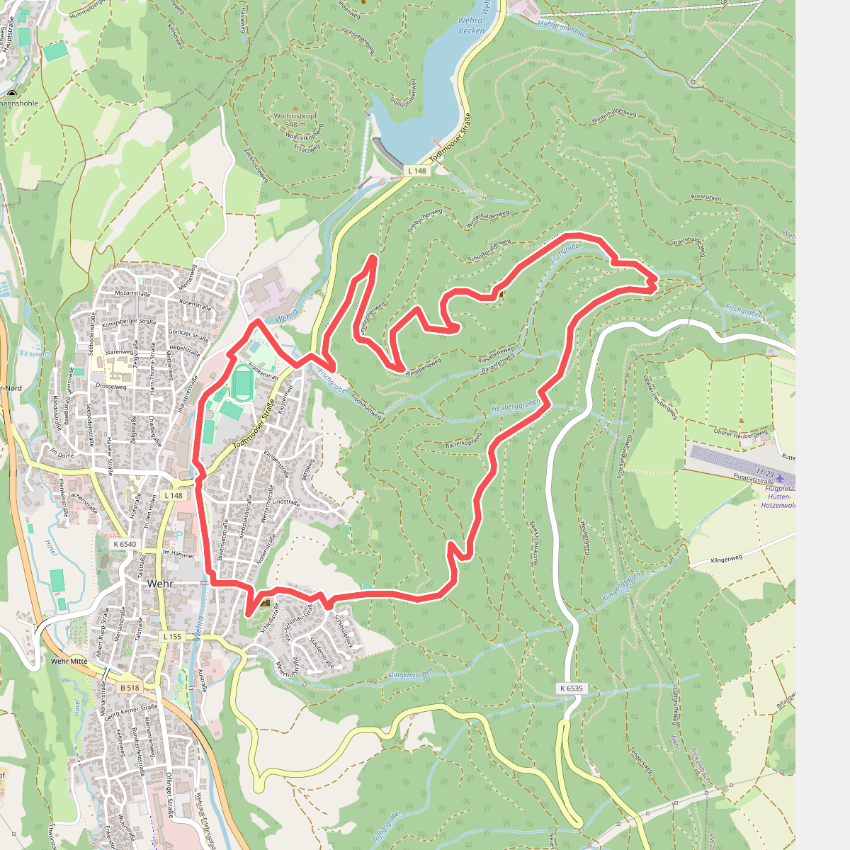
#4. 2-Burgen-Weg
Wehr
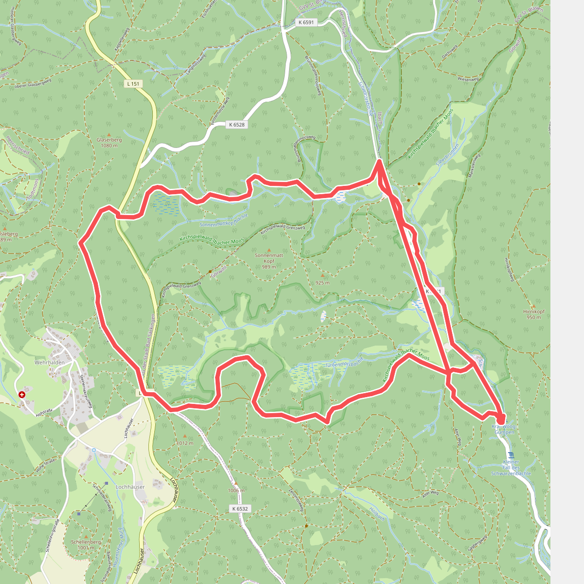
#5. 7-Moore-Weg
Herrischried,Görwihl
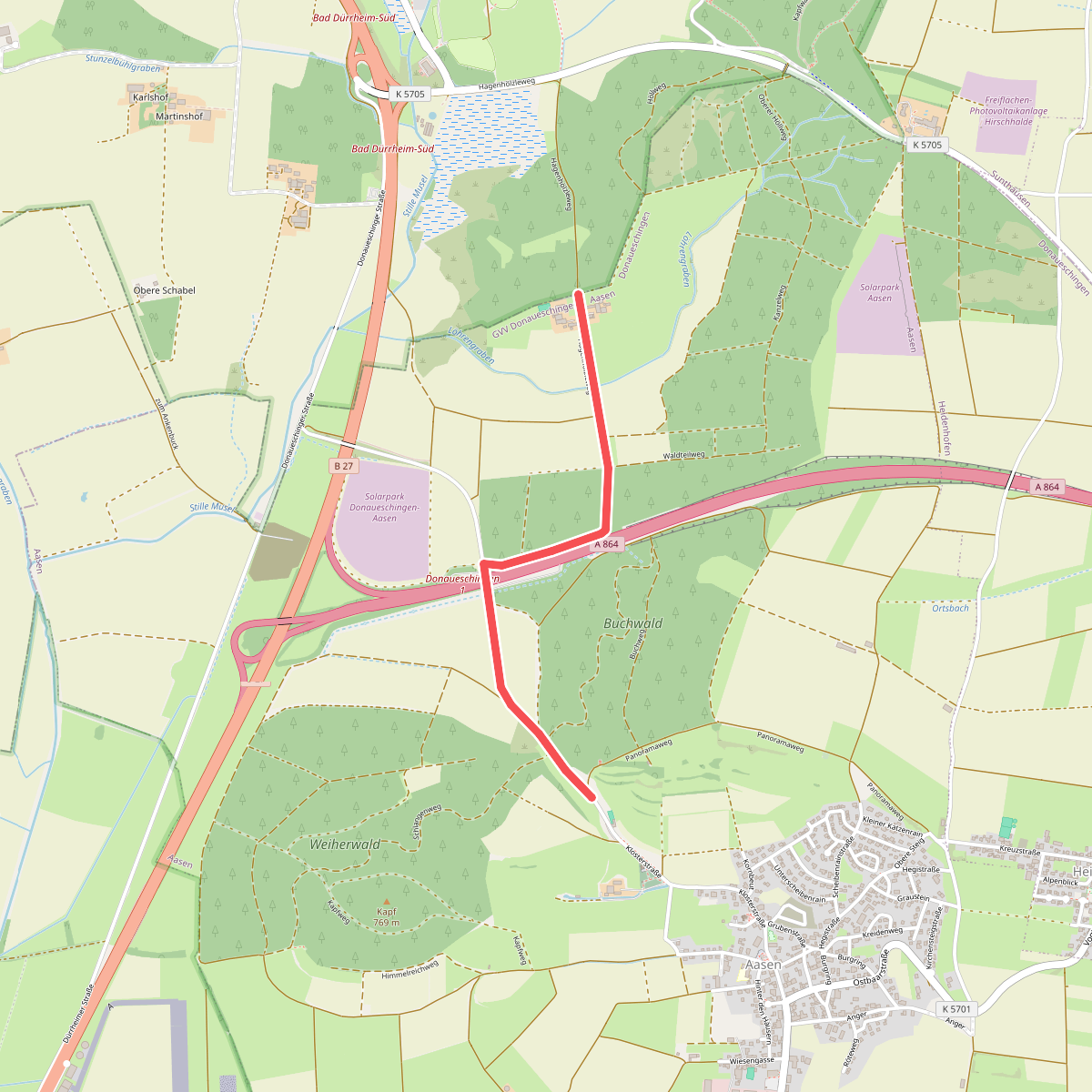
#6. Aasener Höll - Buchwald
Donaueschingen
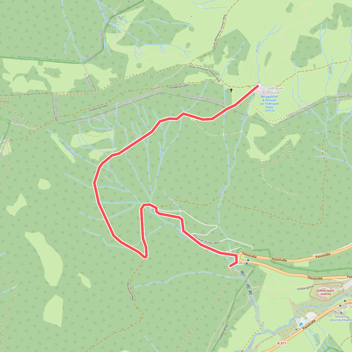
#7. Abzweig Fahl - Fahler Wasserfall Parkplatz
Todtnau
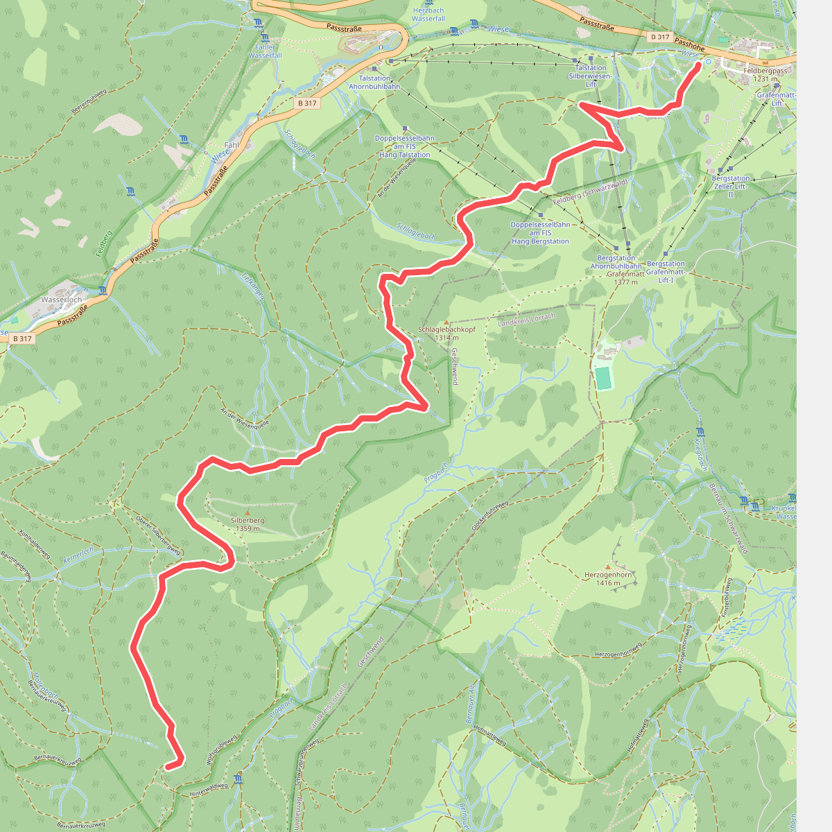
#8. Abzweig Hebelweg - Bernauer Kreuz Weg
Todtnau
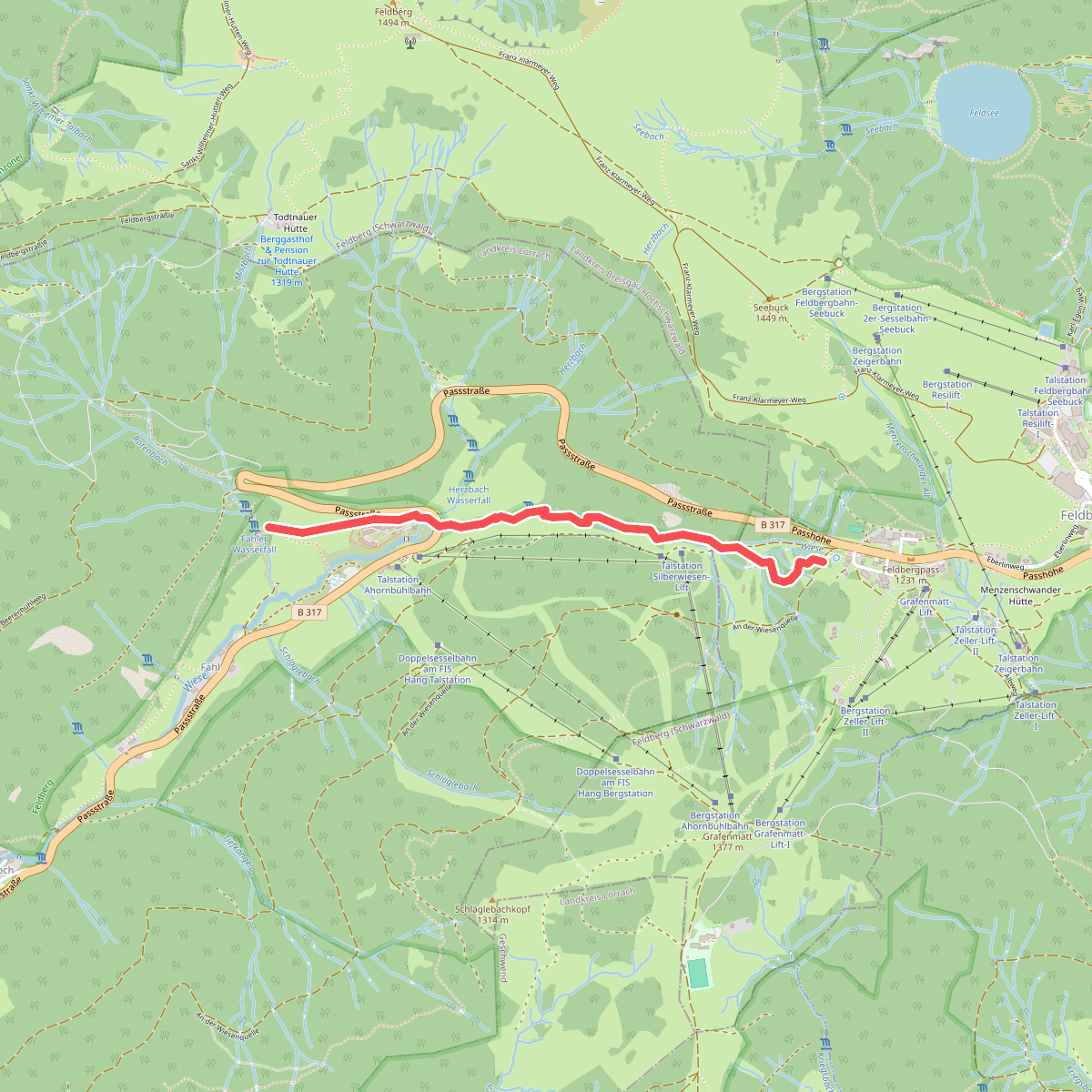
#9. Abzweig Hebelweg - Fahler Wasserfall
Todtnau
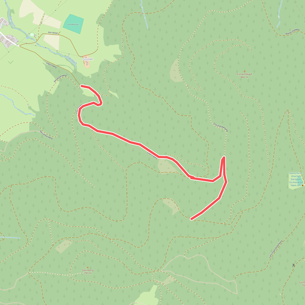
#10. Abzweig Neuackerweg - Gferch
Elzach
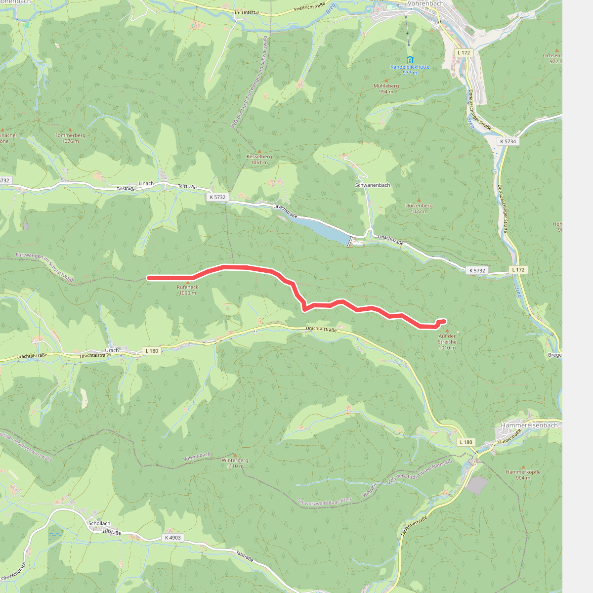
#11. Adler Höhe - Auf der Streiche
Furtwangen im Schwarzwald,Vöhrenbach
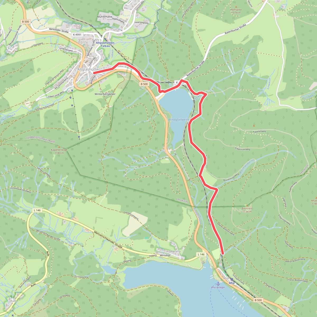
#12. Aha - Altglashütten
Schluchsee,Lenzkirch



