

The best hiking routes in Naturpark Schwarzwald Mitte/Nord
Discover the best walks in Naturpark Schwarzwald Mitte/Nord. 1543 routes on the map, with descriptions, photos and GPX.
About Naturpark Schwarzwald Mitte/Nord
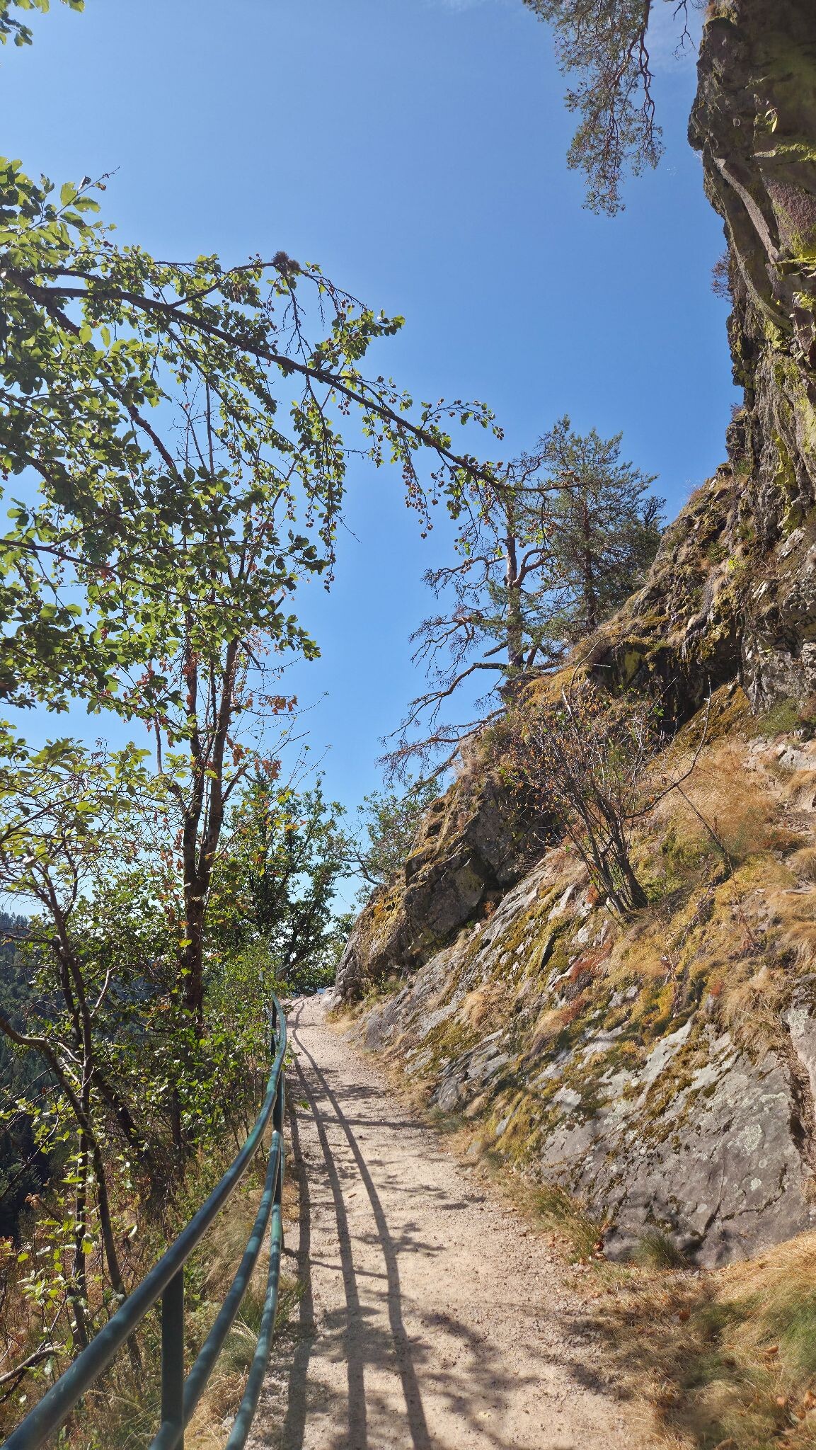
The Naturpark Schwarzwald Mitte/Nord is characterized by its deep sandstone valleys, dense coniferous forests, and high, open moorlands. Unlike the jagged limestone peaks of other mountain ranges, this region features heavily forested, flat-topped ridges and steep-sided valleys carved by rivers like the Murg and Kinzig. Walkers will notice a distinct transition from the dark, damp spruce and fir woods on the slopes to the open, windswept heathlands, known locally as Grinden, on the highest elevations. Underfoot, the paths vary from soft forest loam and pine needle carpets to stony, red sandstone tracks that can be rough on the ankles.
Read more
About Naturpark Schwarzwald Mitte/Nord
The Naturpark Schwarzwald Mitte/Nord is characterized by its deep sandstone valleys, dense coniferous forests, and high, open moorlands. Unlike the jagged limestone peaks of other mountain ranges, this region features heavily forested, flat-topped ridges and steep-sided valleys carved by rivers like the Murg and Kinzig. Walkers will notice a distinct transition from the dark, damp spruce and fir woods on the slopes to the open, windswept heathlands, known locally as Grinden, on the highest elevations. Underfoot, the paths vary from soft forest loam and pine needle carpets to stony, red sandstone tracks that can be rough on the ankles.
Read moreThe Naturpark Schwarzwald Mitte/Nord is characterized by its deep sandstone valleys, dense coniferous forests, and high, open moorlands. Unlike the jagged limestone peaks of other mountain ranges, this region features heavily forested, flat-topped ridges and steep-sided valleys carved by rivers like the Murg and Kinzig. Walkers will notice a distinct transition from the dark, damp spruce and fir woods on the slopes to the open, windswept heathlands, known locally as Grinden, on the highest elevations. Underfoot, the paths vary from soft forest loam and pine needle carpets to stony, red sandstone tracks that can be rough on the ankles.
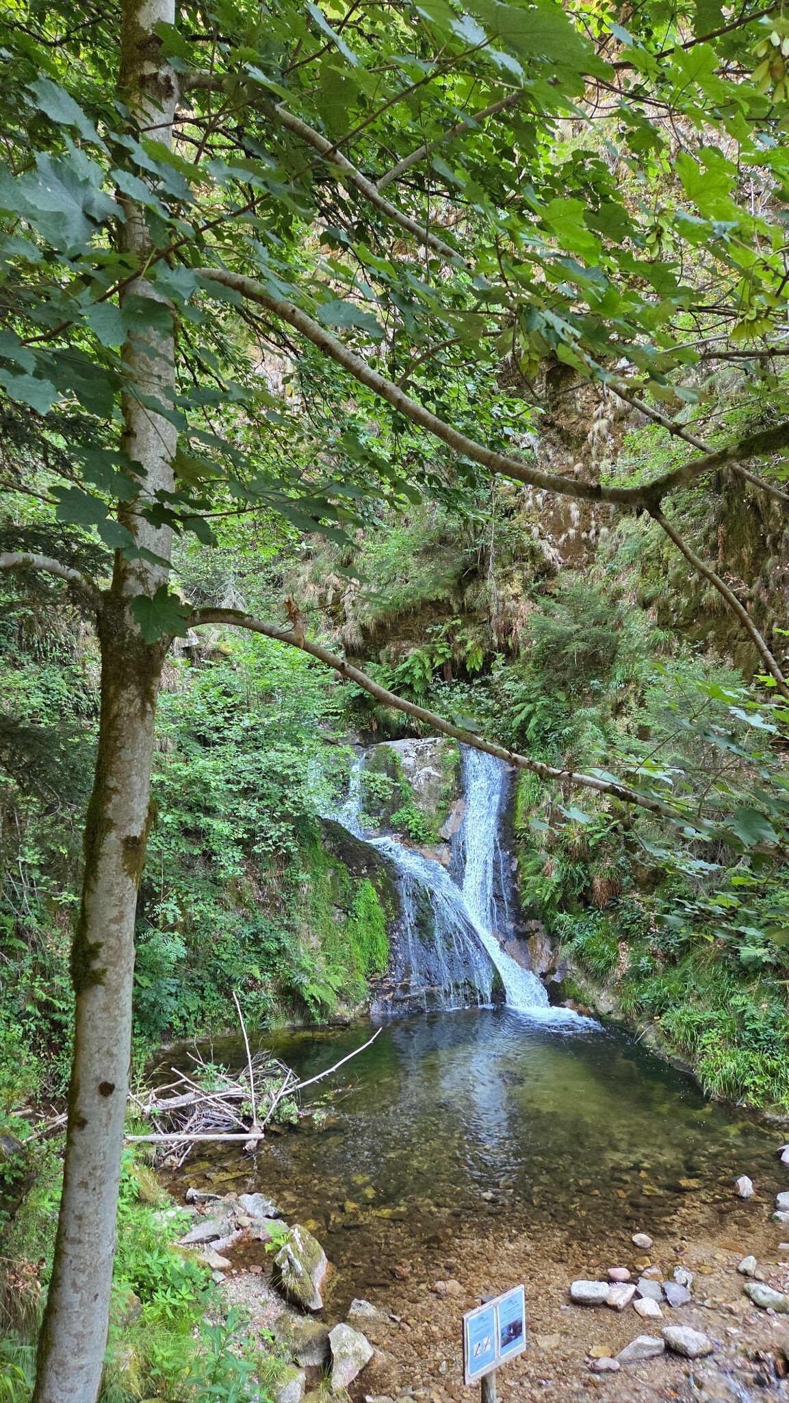
In the western parts of the park, the underlying granite creates steep, rocky terrain with rushing streams and small waterfalls, while the eastern plateau offers gentler, rolling landscapes dominated by forestry and small clearings. A key feature to observe along the trails is the abundance of blockfields, which are large accumulations of weathered sandstone boulders scattered across the forest floor. In late summer, particularly in August, the high-altitude Grinden areas transform as the heather blooms, contrasting sharply with the dark green of the surrounding pine canopy.
This is a working forest landscape where active timber harvesting is visible alongside protected habitat zones. While the well-known spots around the Schwarzwaldhochstrasse and the Mummelsee attract many day-trippers, the extensive network of secondary forestry tracks and narrow paths deeper in the valleys offers a much quieter walking experience. Walkers should expect steady, long climbs rather than abrupt alpine scrambles, with the landscape defined by its vast, continuous tree cover and damp, mossy valley floors.
Hiking routes in Naturpark Schwarzwald Mitte/Nord (1.543)
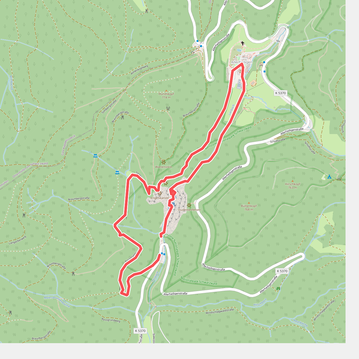
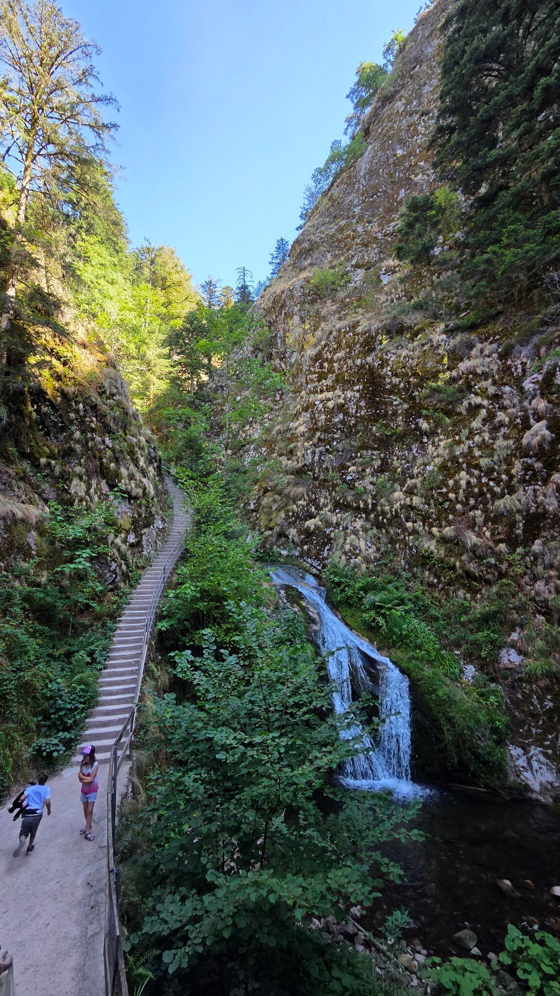
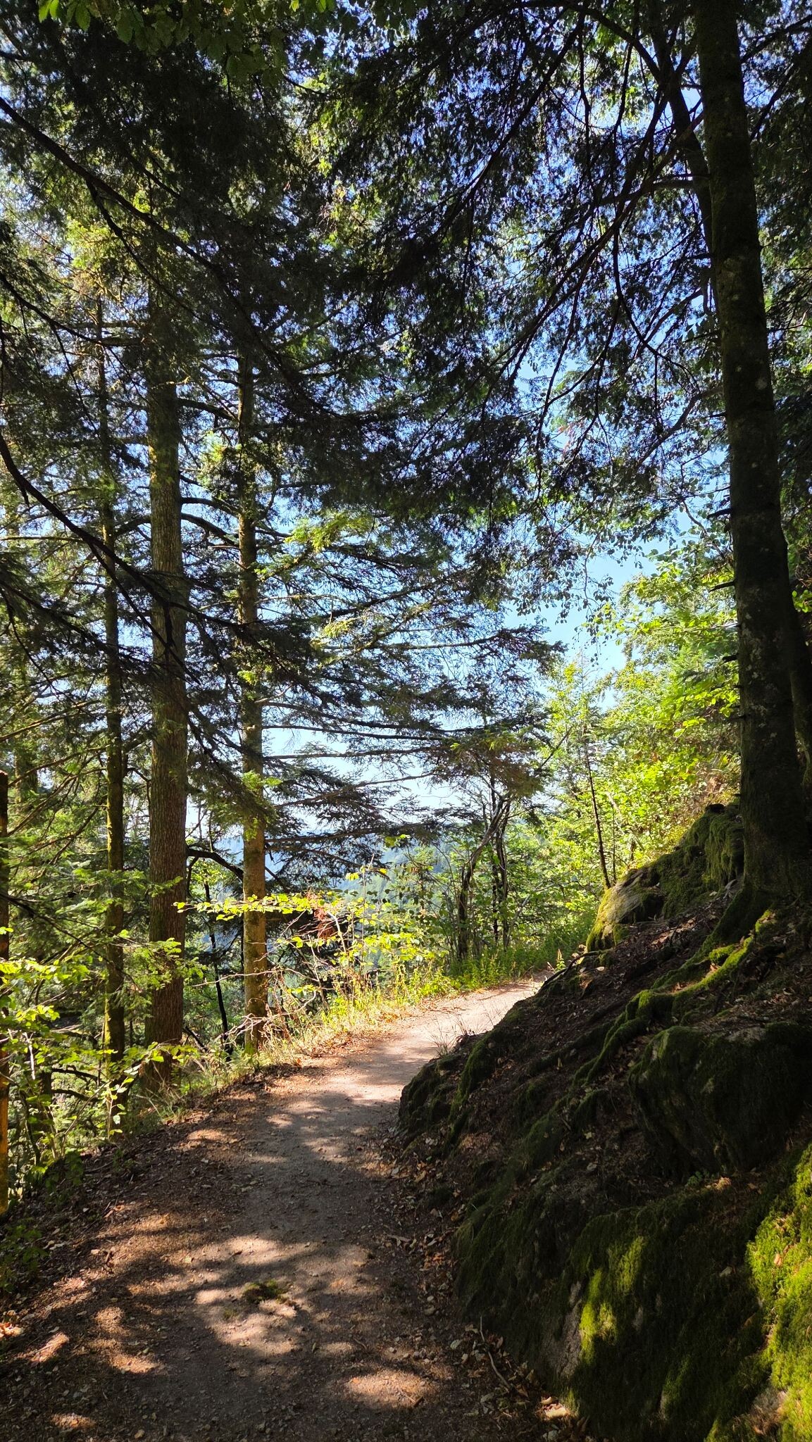
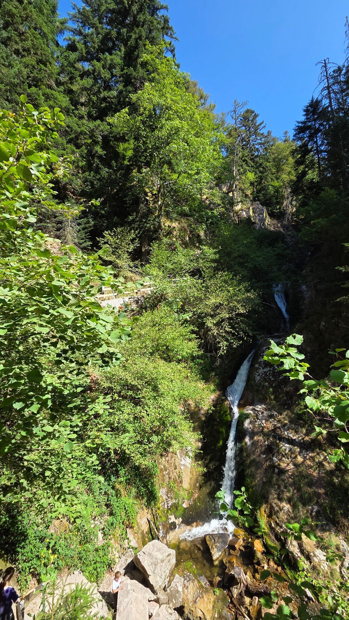
#1. Sagenrundweg (Allerheiligen Watervallen)
Oppenau
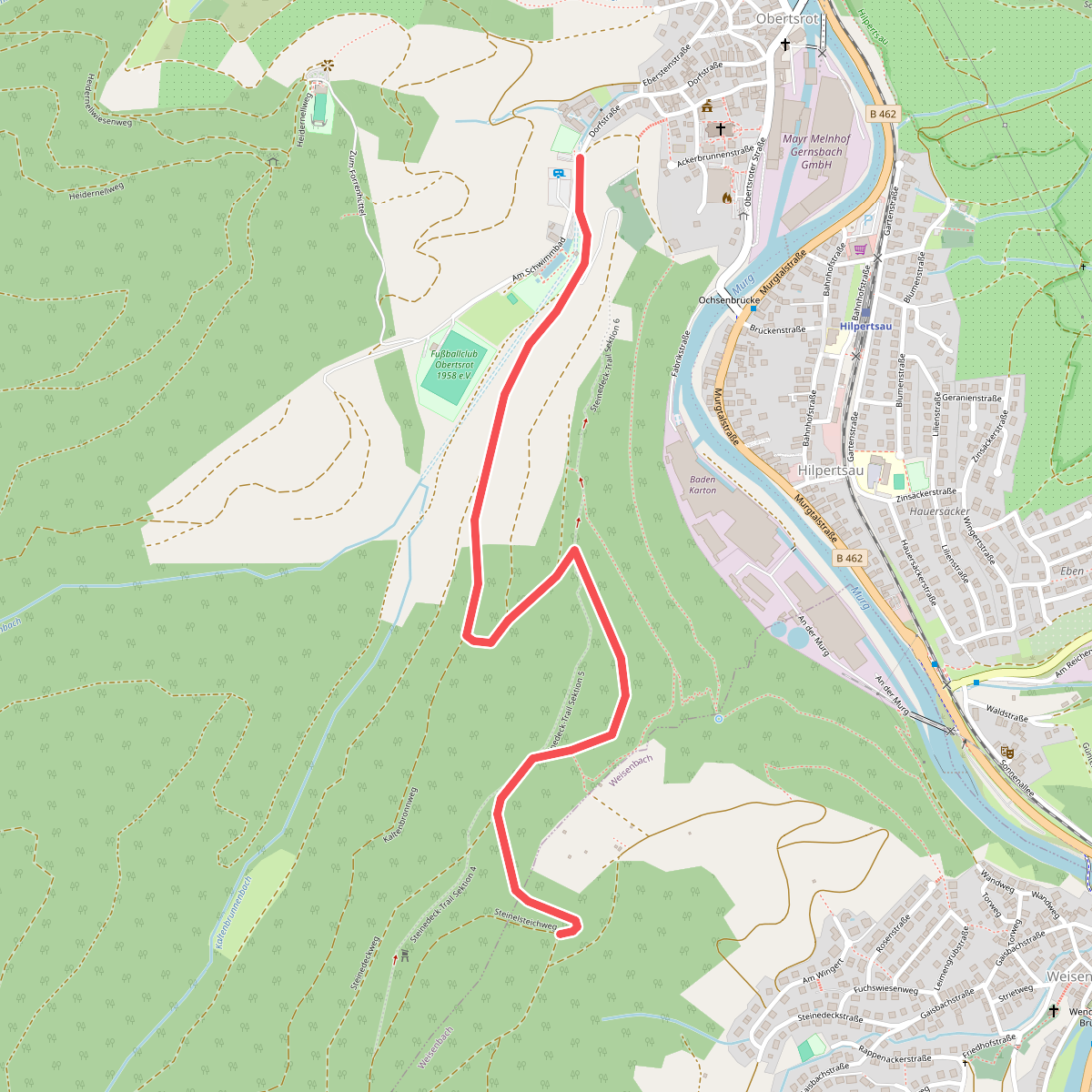
#2. 047 - Am Schwimmbad
Weisenbach,Gernsbach
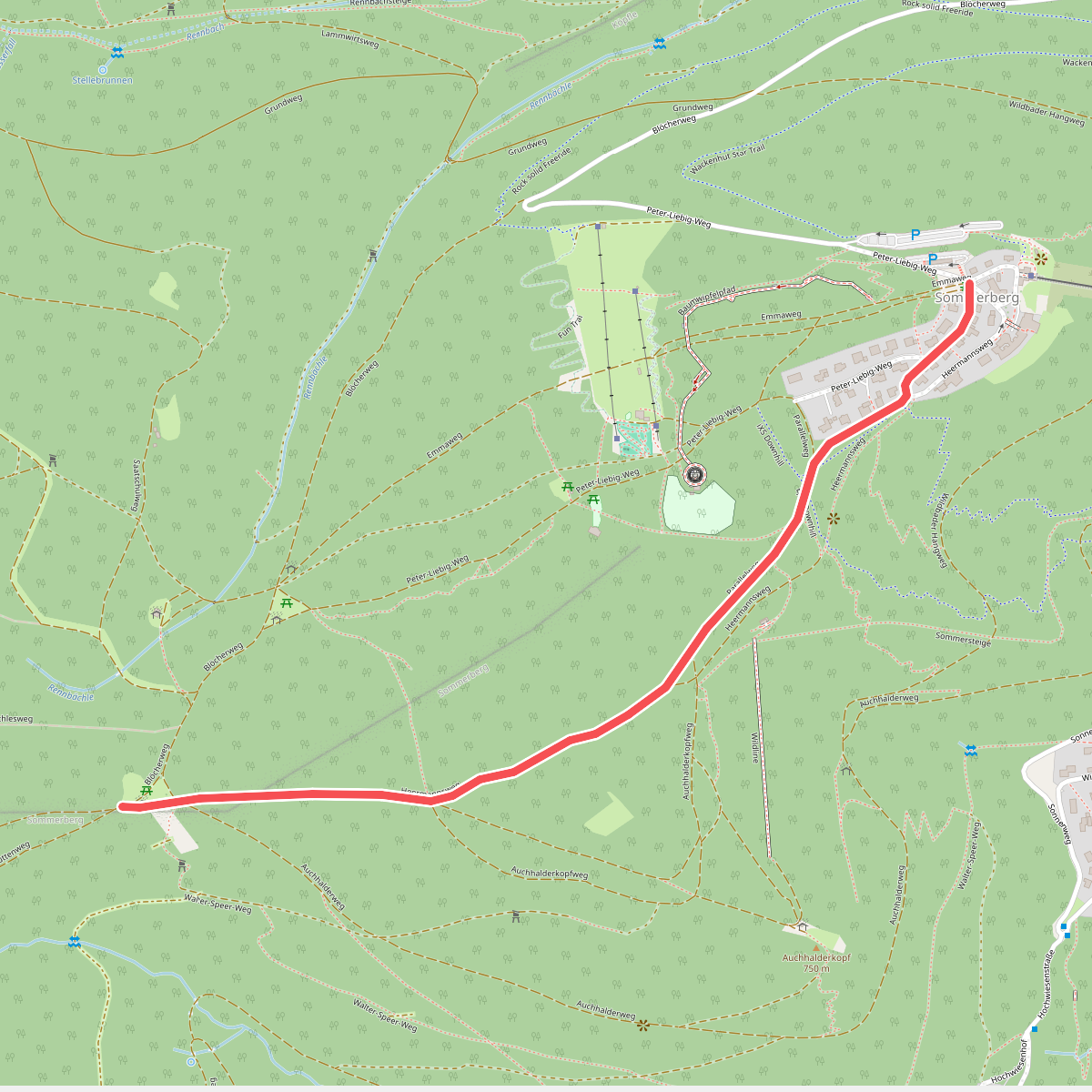
#3. 5 Bäume - Sommerberg
Bad Wildbad
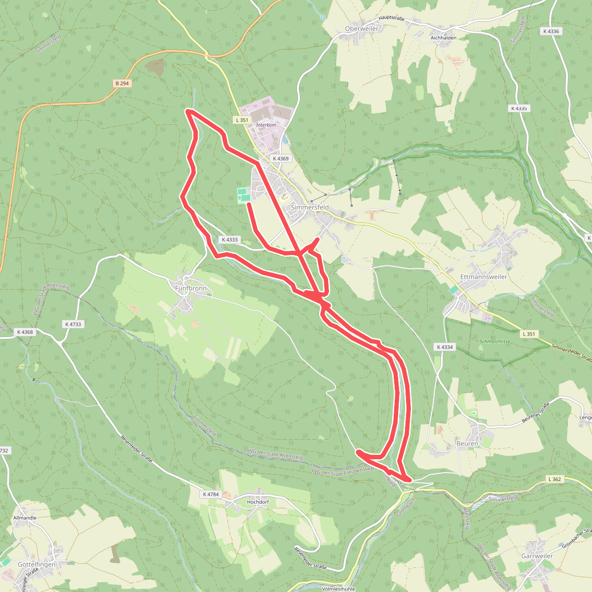
#4. 7 Mühlen Pfad
Simmersfeld
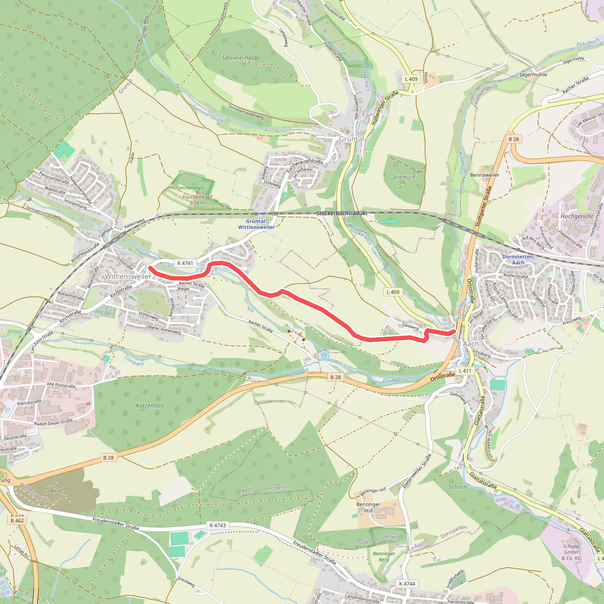
#5. Aach Waldgericht - Wittlensweiler Bachweg
Dornstetten,Freudenstadt
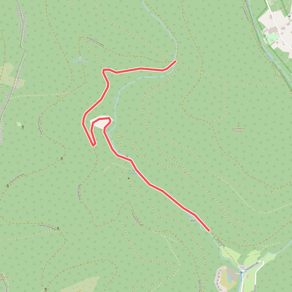
#6. Abgebrannte Hütte - Am Floßweiher
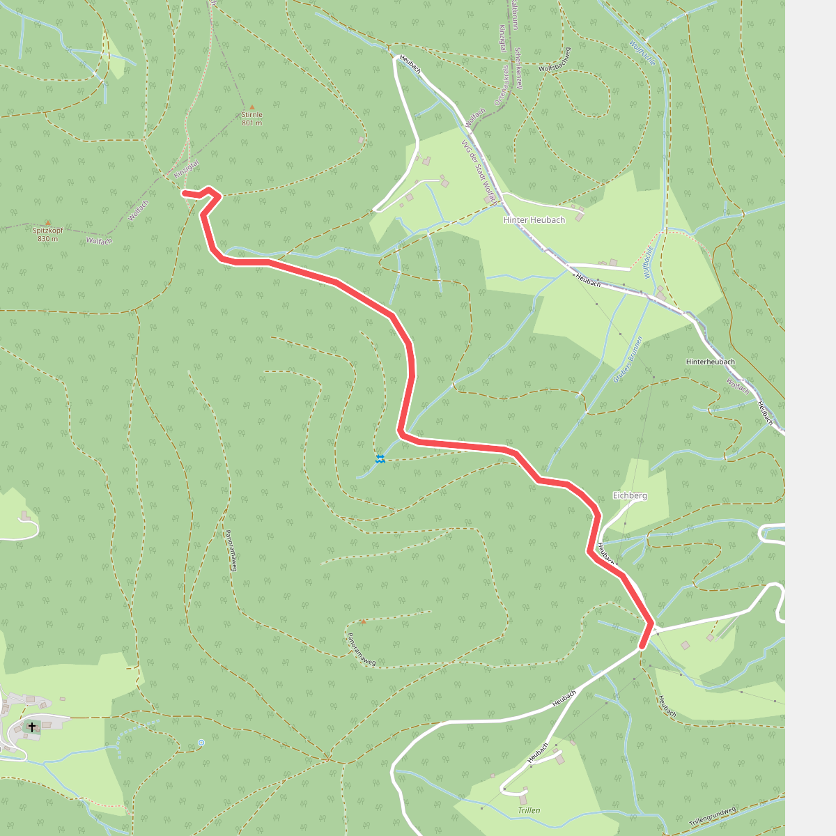
#7. Abrahamsbühl - Hinter Hals
Wolfach
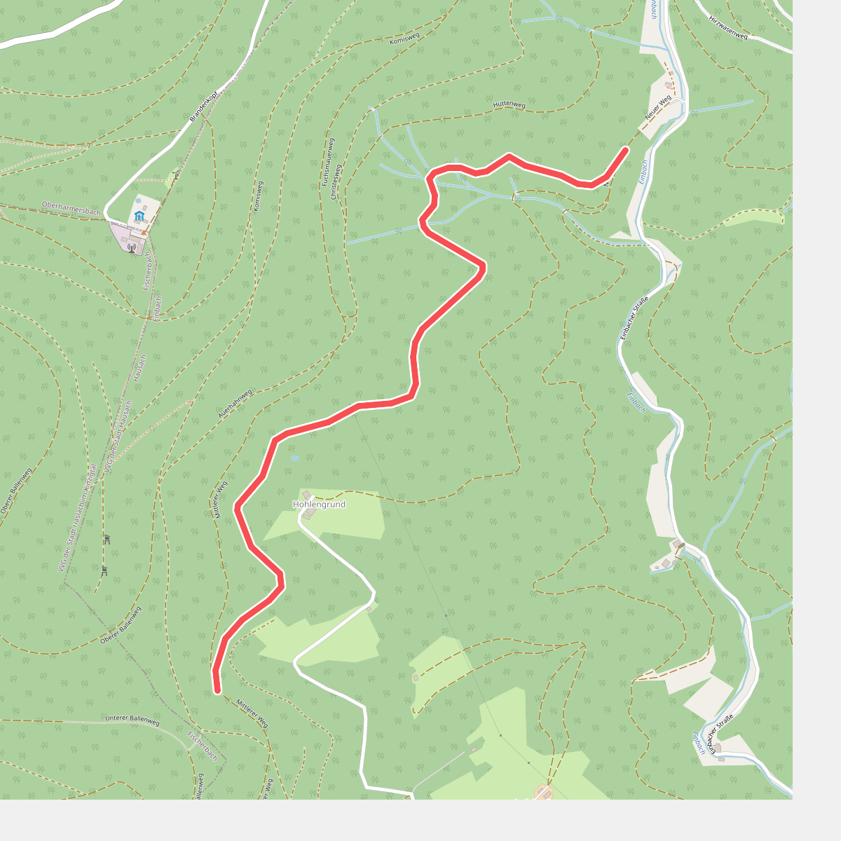
#8. Abzweig Hohlengrund - Am Ballenkopf
Hausach
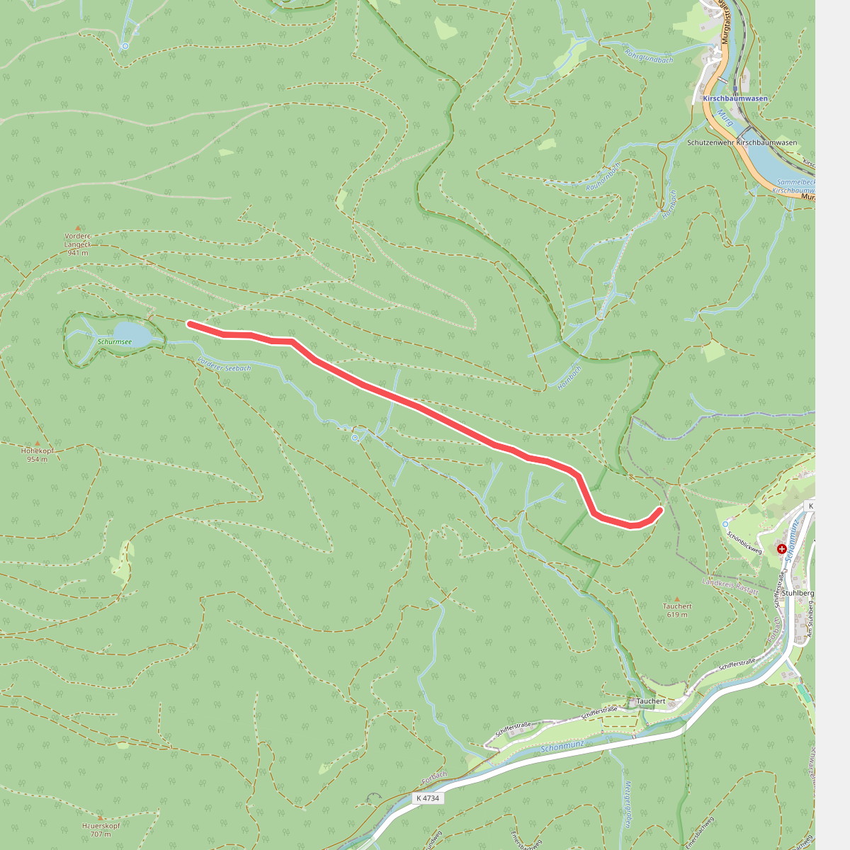
#9. Abzweig Schurmsee - School
Forbach
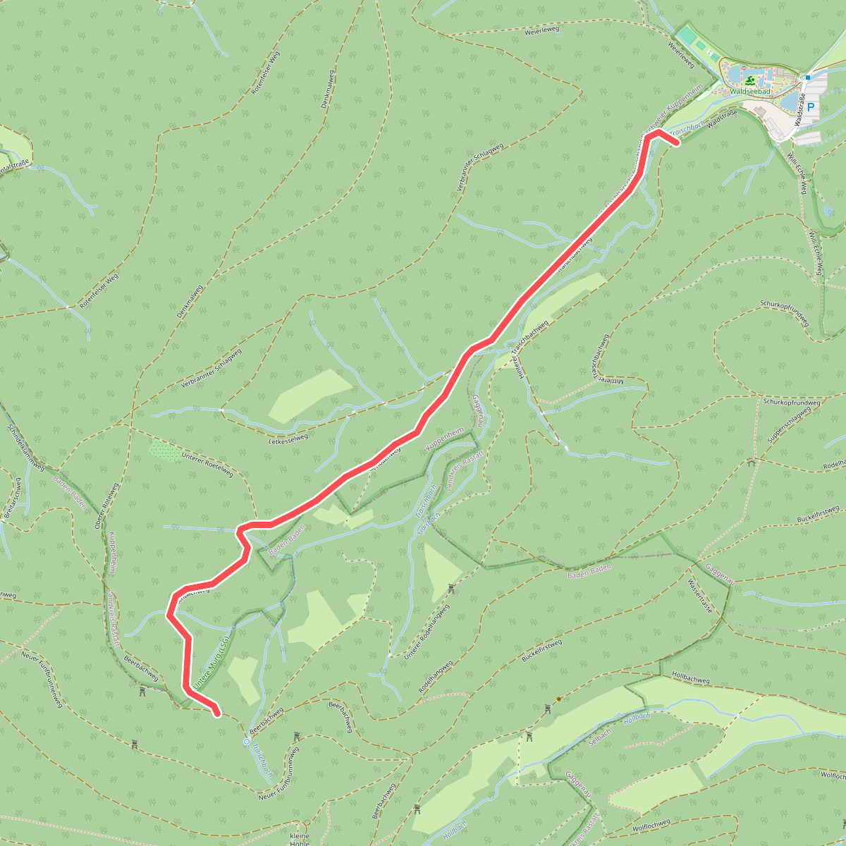
#10. Abzweig Traisbachweg - Traischbachtal
Baden-Baden,Kuppenheim,Gaggenau
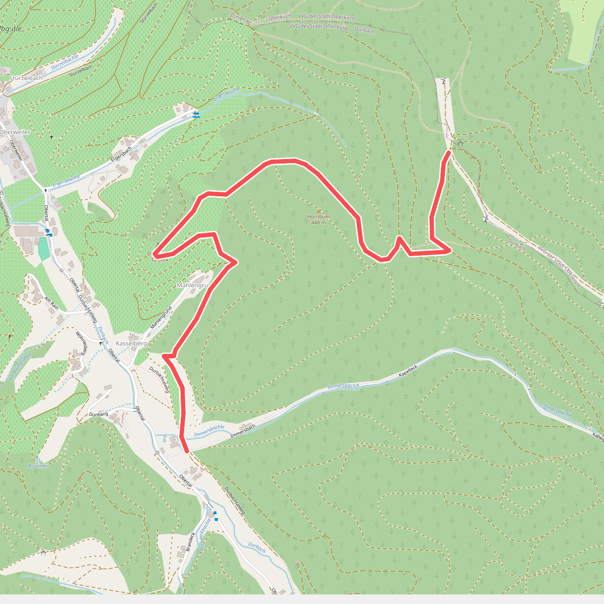
#11. Abzweigung Mahlengrund - Am Durbachtalweg
Durbach
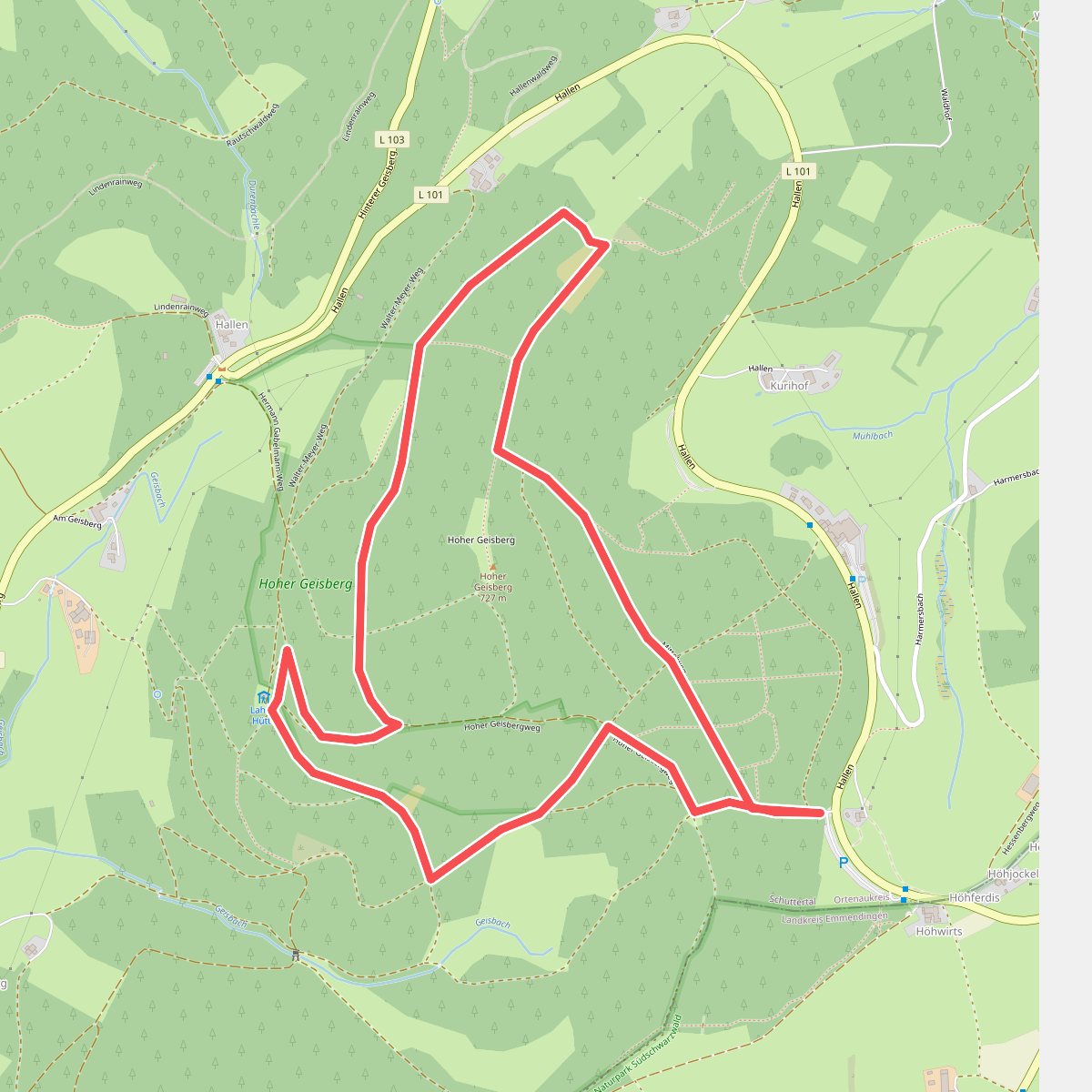
#12. Achatweg
Schuttertal



