

The best hiking routes in Naturpark Sauerland-Rothaargebirge
Discover the best walks in Naturpark Sauerland-Rothaargebirge. 881 routes on the map, with descriptions, photos and GPX.
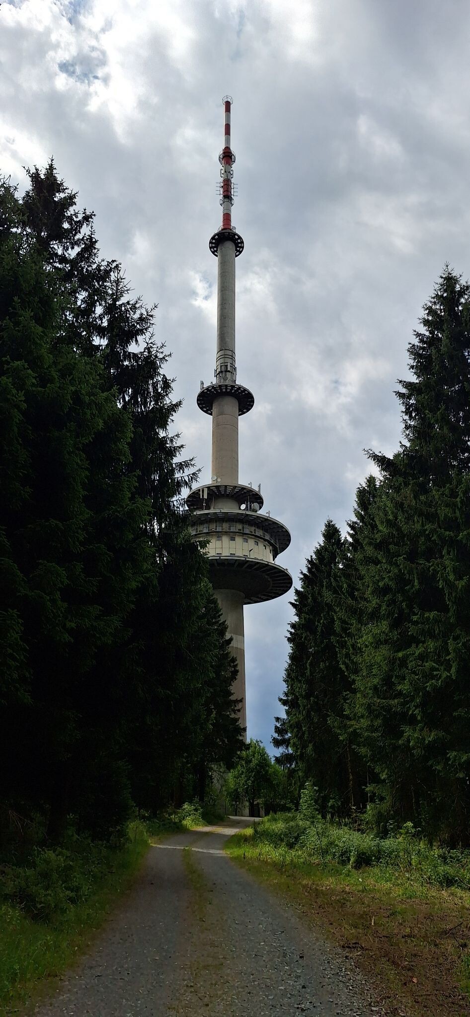
About Naturpark Sauerland-Rothaargebirge
The Naturpark Sauerland-Rothaargebirge is characterized by dense spruce and beech forests, high ridges, and deep valleys shaped by centuries of forestry and mining. Unlike flatter heathlands, this region is defined by its steep, wooded hillsides and the prominent Rothaarkamm ridge. Walkers will notice a landscape heavily shaped by water, with numerous reservoirs, springs, and small streams cutting through the valleys, alongside visible signs of recent forest restructuring where native broadleaf trees are replacing older spruce plantations.
Read more
About Naturpark Sauerland-Rothaargebirge
The Naturpark Sauerland-Rothaargebirge is characterized by dense spruce and beech forests, high ridges, and deep valleys shaped by centuries of forestry and mining. Unlike flatter heathlands, this region is defined by its steep, wooded hillsides and the prominent Rothaarkamm ridge. Walkers will notice a landscape heavily shaped by water, with numerous reservoirs, springs, and small streams cutting through the valleys, alongside visible signs of recent forest restructuring where native broadleaf trees are replacing older spruce plantations.
Read moreThe Naturpark Sauerland-Rothaargebirge is characterized by dense spruce and beech forests, high ridges, and deep valleys shaped by centuries of forestry and mining. Unlike flatter heathlands, this region is defined by its steep, wooded hillsides and the prominent Rothaarkamm ridge. Walkers will notice a landscape heavily shaped by water, with numerous reservoirs, springs, and small streams cutting through the valleys, alongside visible signs of recent forest restructuring where native broadleaf trees are replacing older spruce plantations.
Underfoot, the trails vary from wide, gravelled forestry tracks to narrow, root-cut paths that climb steeply over slate and greywacke bedrock. The terrain requires sturdy footwear, as the slate can be slippery when damp. While the main ridge trail, the Rothaarsteig, is well-marked and features wooden boardwalks over wetter peat bogs, the side valleys offer rougher, less-manicured paths through dense woodland.
This is a working forest landscape rather than an untouched wilderness, meaning you will regularly encounter timber harvesting areas and open, cleared hillsides alongside quiet nature reserves. The highest elevations, such as the Kahler Asten, feature dwarf shrub heath that turns purple in August, offering a open contrast to the otherwise enclosed canopy of the valleys. The most famous peaks and reservoir shores attract crowds on weekends, but the deeper forest valleys remain quiet.
Hiking routes in Naturpark Sauerland-Rothaargebirge (881)
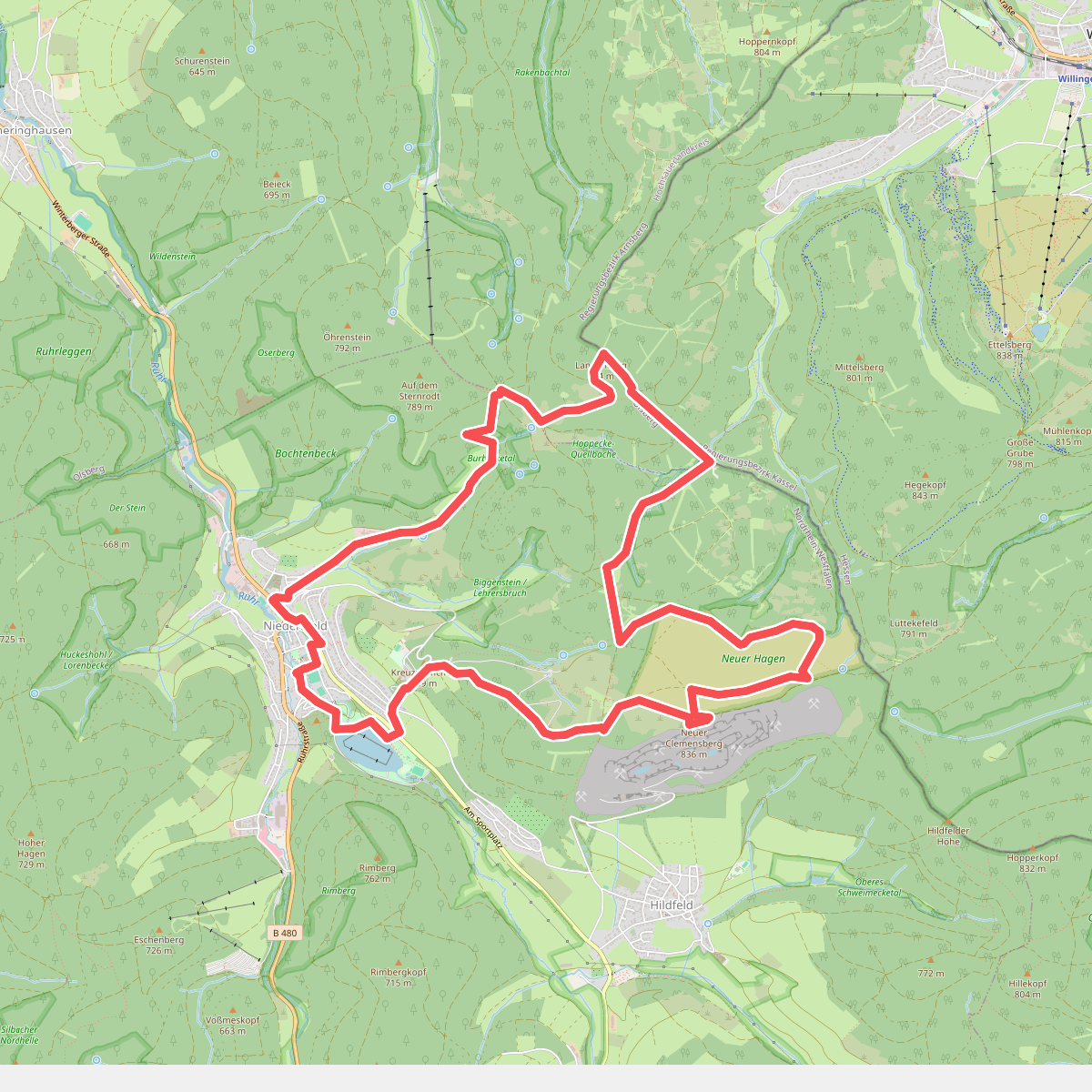
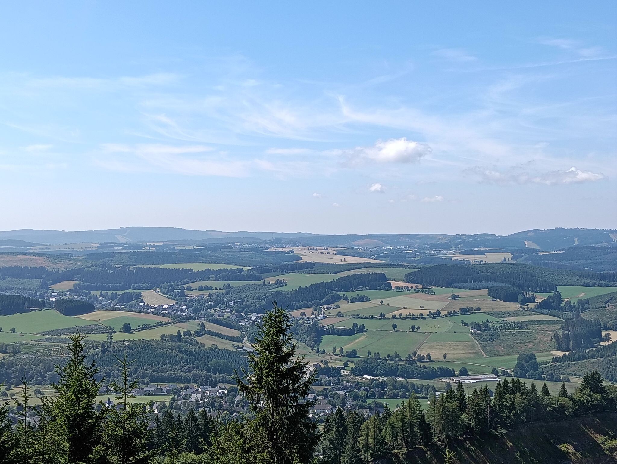
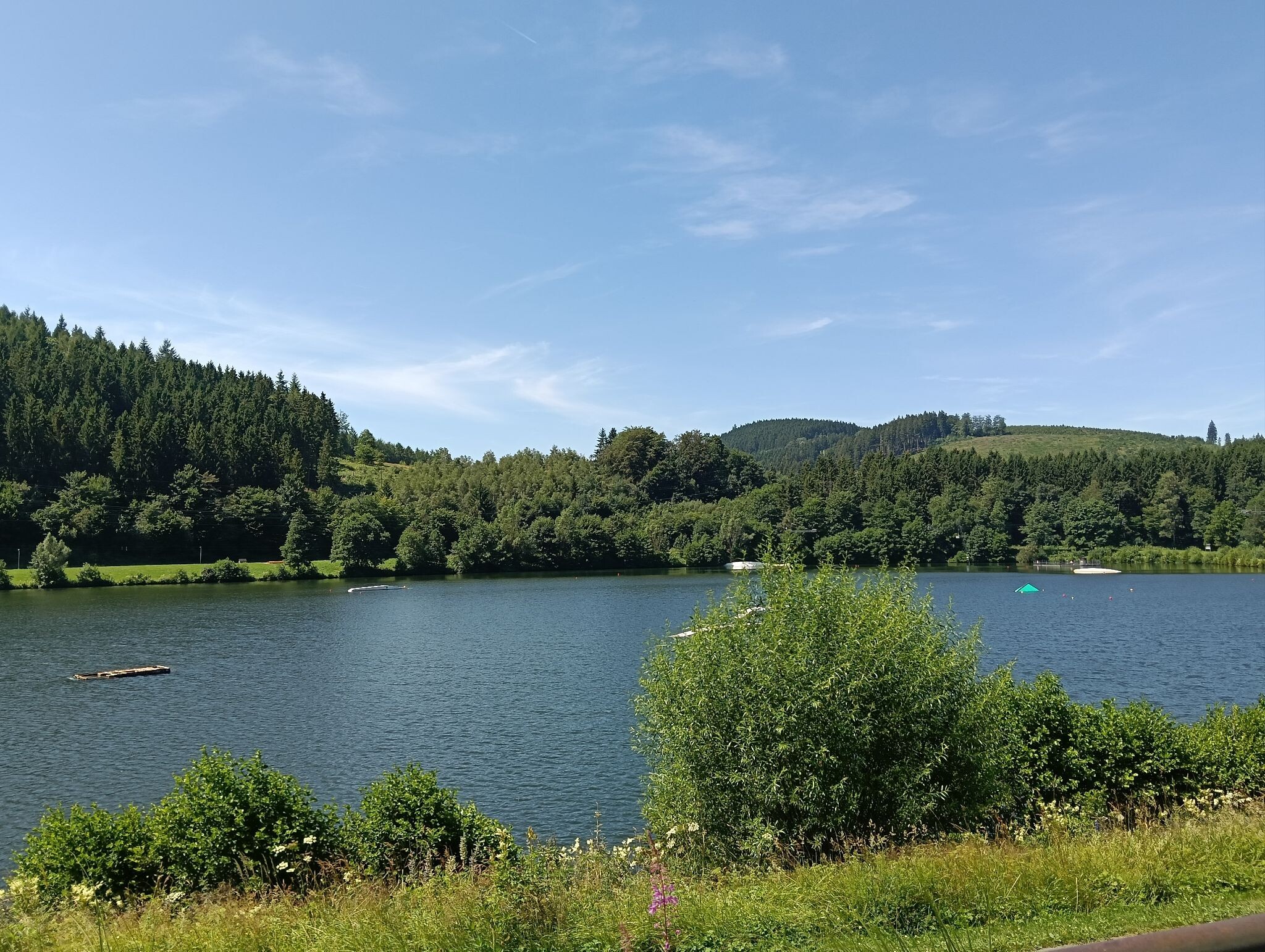
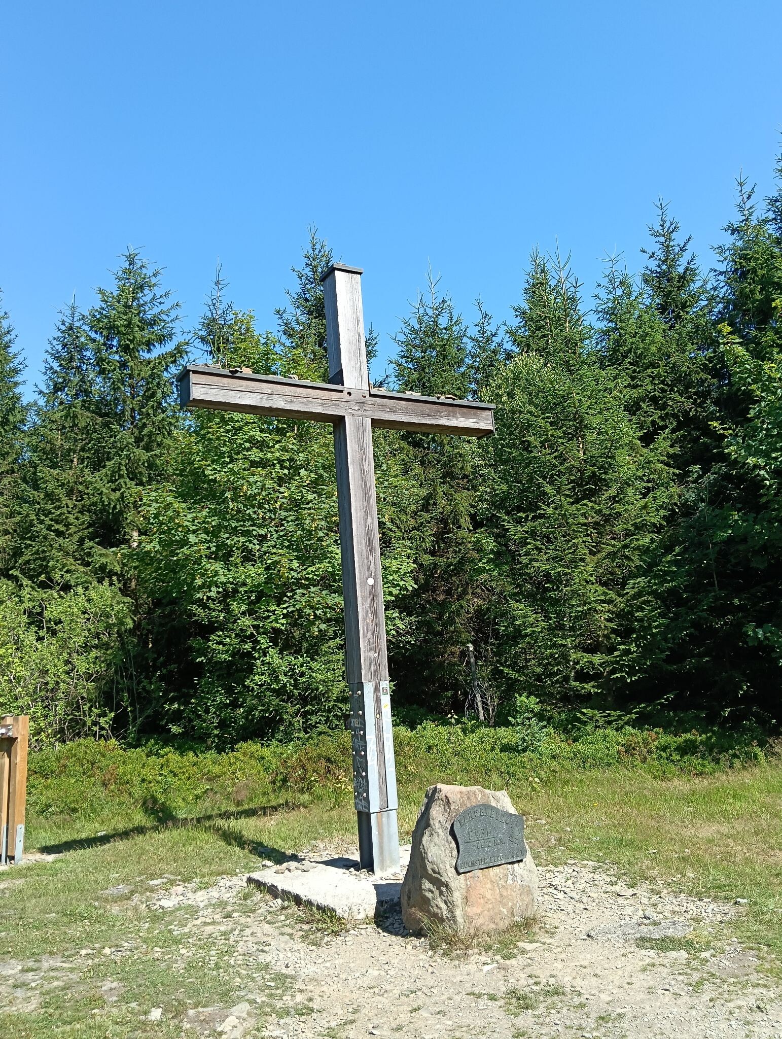
#1. Höher geht es nicht
Winterberg,Willingen (Upland)
![[◇2] Bezirksrundweg ◇2 bei Olsberg](https://wandelweb.fsn1.your-objectstorage.com/tracks/static-maps/34803-1779133717-large.png)
#2. [◇2] Bezirksrundweg ◇2 bei Olsberg
Olsberg,Brilon
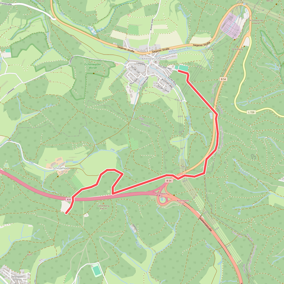
#3. (4) Klosterweg
Wenden,Olpe
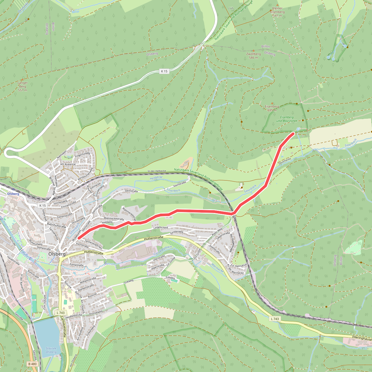
#4. (4) Kurterrainweg 4
Olsberg
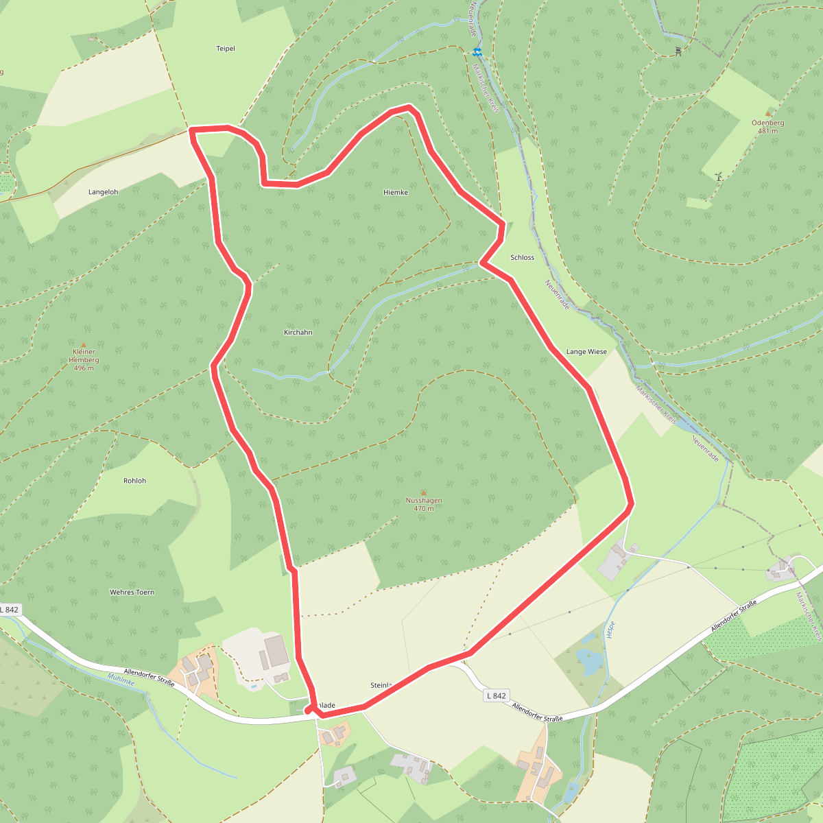
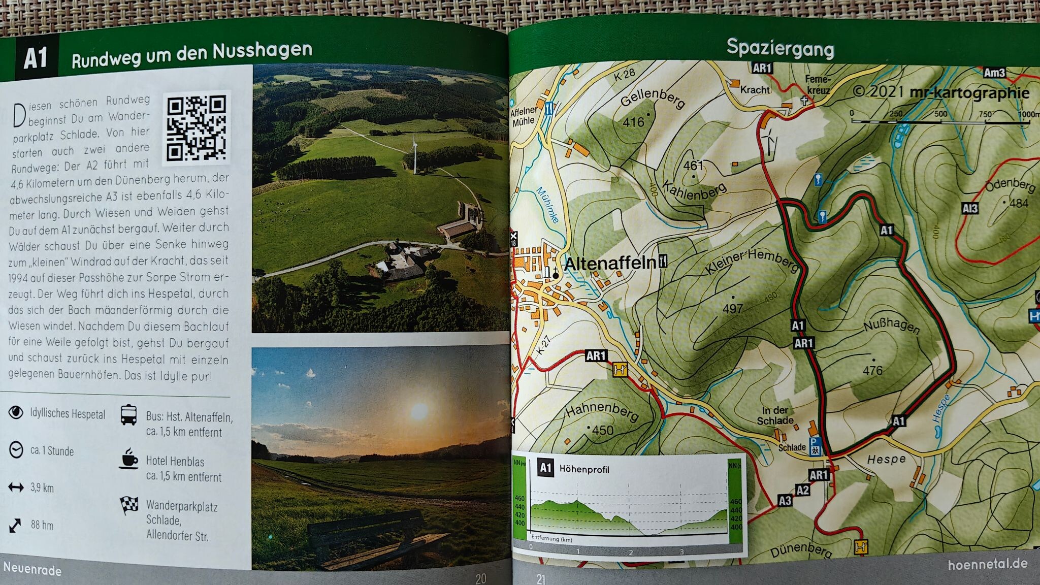
#5. A1 Alteraffeln
Neuenrade
![[A1] Am Schwarzenstein](https://wandelweb.fsn1.your-objectstorage.com/tracks/static-maps/34105-1779133269-large.png)
#6. [A1] Am Schwarzenstein
Altena
![[A1] Handweiser - Haus Rhade](https://wandelweb.fsn1.your-objectstorage.com/tracks/static-maps/33899-1779133083-large.png)
#7. [A1] Handweiser - Haus Rhade
Kierspe
![[A1] Haus Hemer - Höcklingsen](https://wandelweb.fsn1.your-objectstorage.com/tracks/static-maps/34391-1779133449-large.png)
#8. [A1] Haus Hemer - Höcklingsen
Hemer
![[A1] Höhenrundweg Saley](https://wandelweb.fsn1.your-objectstorage.com/tracks/static-maps/34361-1779133430-large.png)
#9. [A1] Höhenrundweg Saley
Plettenberg
![[A1] Rund um Milchenbach](https://wandelweb.fsn1.your-objectstorage.com/tracks/static-maps/34307-1779133395-large.png)
#10. [A1] Rund um Milchenbach
Lennestadt
![[A1] Rund um Wippekühl](https://wandelweb.fsn1.your-objectstorage.com/tracks/static-maps/34082-1779133251-large.png)
#11. [A1] Rund um Wippekühl
Schalksmühle
![[A1] Rundweg Ahelle - Büchenberg](https://wandelweb.fsn1.your-objectstorage.com/tracks/static-maps/34083-1779133253-large.png)
#12. [A1] Rundweg Ahelle - Büchenberg
Lüdenscheid



