

The best hiking routes in Naturpark Oberer Bayerischer Wald
Discover the best walks in Naturpark Oberer Bayerischer Wald. 215 routes on the map, with descriptions, photos and GPX.
Managed by Naturpark Oberer Bayerischer Wald e.V.
About Naturpark Oberer Bayerischer Wald
The Naturpark Oberer Bayerischer Wald is characterized by its transition from low-lying river plains to dense, forested ridges. Unlike the high alpine regions further south, this area offers a landscape of rounded granite hills, deep spruce forests, and wide, damp river meadows. Walkers will notice a distinct contrast between the flat, marshy paths along the Regen river valley and the steep, stony ascents up peaks like the Kaitersberg or the Hoher Bogen. The bedrock here is predominantly granite and gneiss, which frequently breaks through the soil in the form of rugged crags and boulder fields along the ridge trails.
Read more
About Naturpark Oberer Bayerischer Wald
The Naturpark Oberer Bayerischer Wald is characterized by its transition from low-lying river plains to dense, forested ridges. Unlike the high alpine regions further south, this area offers a landscape of rounded granite hills, deep spruce forests, and wide, damp river meadows. Walkers will notice a distinct contrast between the flat, marshy paths along the Regen river valley and the steep, stony ascents up peaks like the Kaitersberg or the Hoher Bogen. The bedrock here is predominantly granite and gneiss, which frequently breaks through the soil in the form of rugged crags and boulder fields along the ridge trails.
Read moreThe Naturpark Oberer Bayerischer Wald is characterized by its transition from low-lying river plains to dense, forested ridges. Unlike the high alpine regions further south, this area offers a landscape of rounded granite hills, deep spruce forests, and wide, damp river meadows. Walkers will notice a distinct contrast between the flat, marshy paths along the Regen river valley and the steep, stony ascents up peaks like the Kaitersberg or the Hoher Bogen. The bedrock here is predominantly granite and gneiss, which frequently breaks through the soil in the form of rugged crags and boulder fields along the ridge trails.
Underfoot, the terrain varies from soft forest loam and pine needle paths to rough, root-choked tracks and loose granite stones on the higher climbs. In the lower valleys, particularly around the Chamb and Regen rivers, the paths can be damp and grassy, occasionally requiring navigation around boggy patches. The forest floor is thick with blueberry bushes and moss, which thrive in the acidic soil generated by the decaying coniferous needles.
While the main summits and their mountain huts attract regular day-trippers, the dense pine forests between the villages remain quiet. In October, the mixed beech forests on the lower slopes turn a deep yellow, contrasting with the dark green of the spruce. This park is best suited for those who appreciate steady, moderate climbing through dense woodland and rocky outcrops rather than dramatic, open alpine vistas.
Hiking routes in Naturpark Oberer Bayerischer Wald (215)
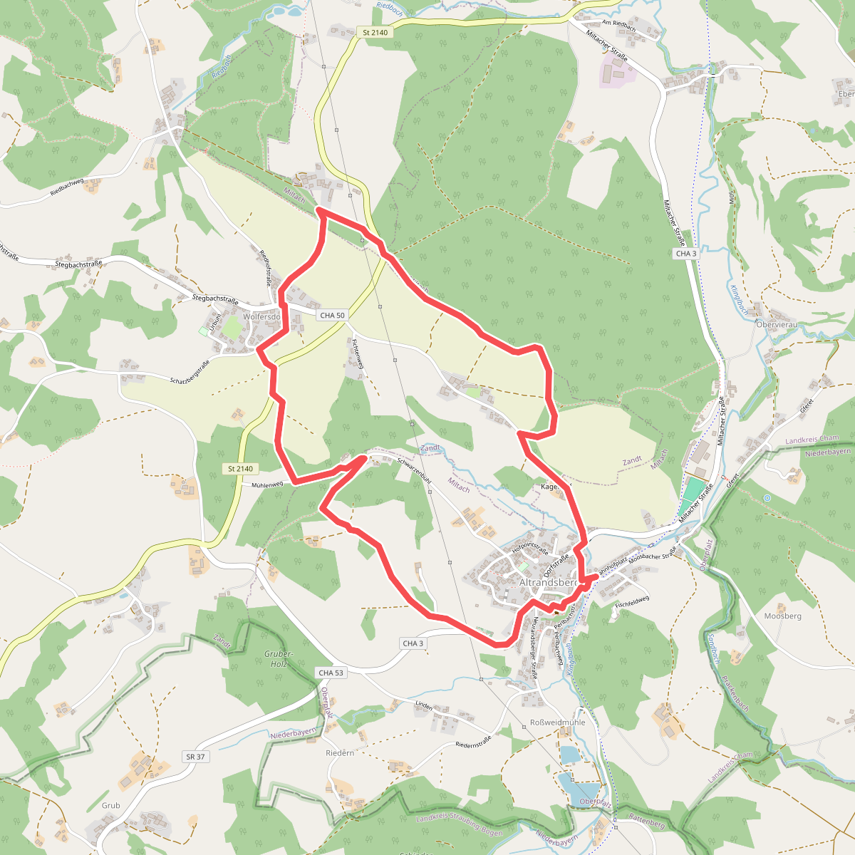
#1. A1 Altrandsberg
Zandt,Miltach
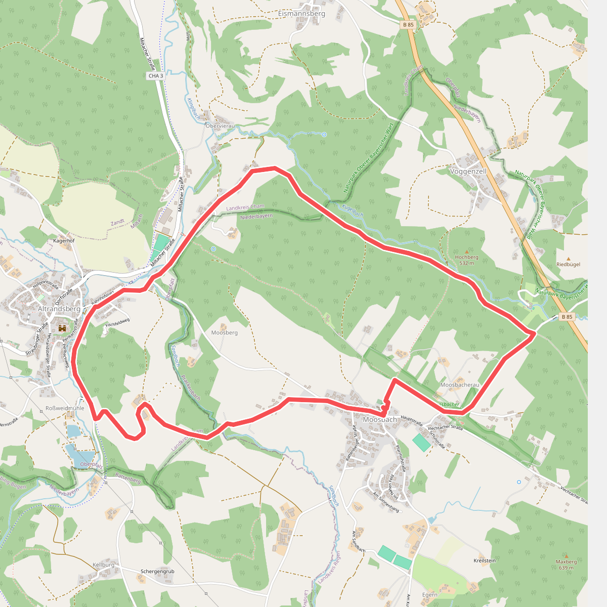
#2. A2 Altrandsberg – Moosbach – Altrandsberg
Miltach,Prackenbach,Rattenberg
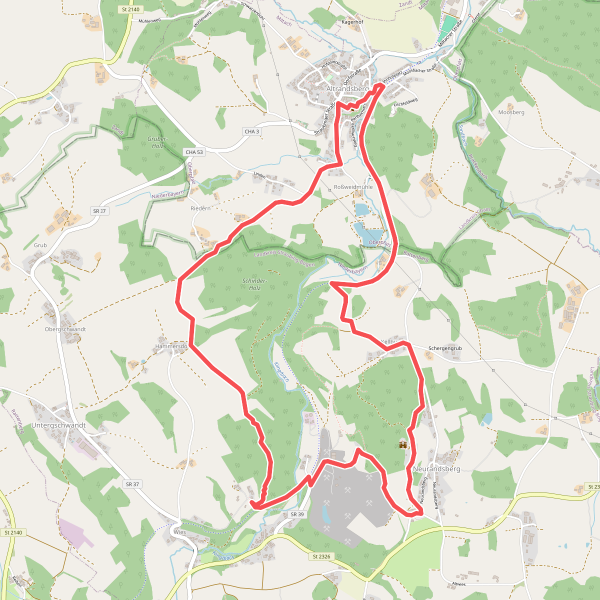
#3. A3 Altransberg Riedern Hammersdorf
Miltach,Rattenberg
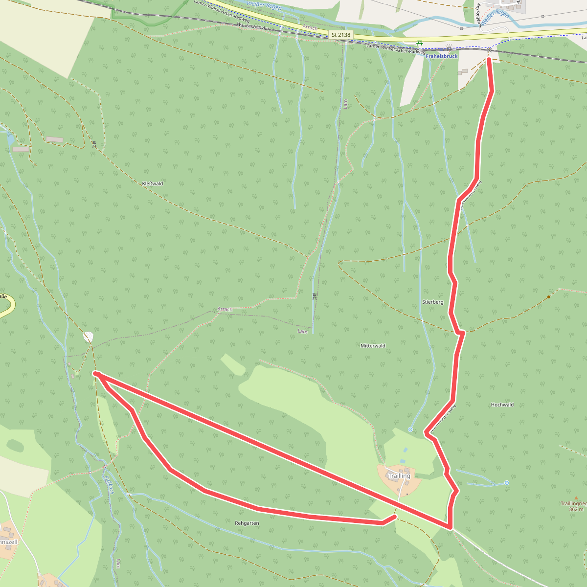
#4. Ar3
Lam
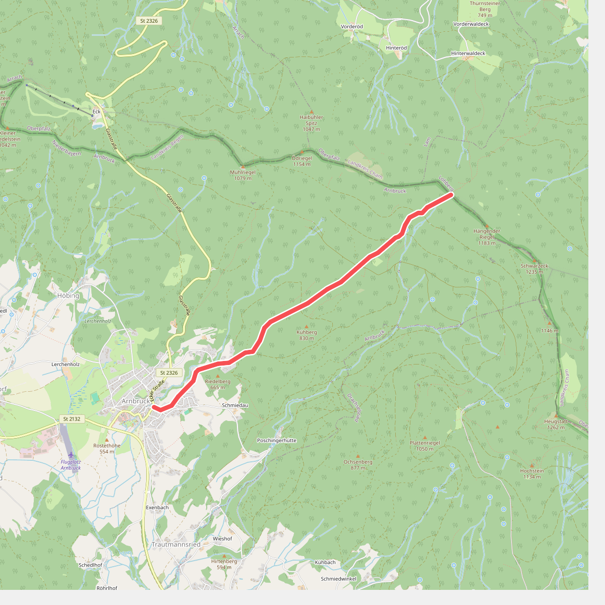
#5. Arnbruck: Ab10 - Waldwiesmarterl
Arnbruck
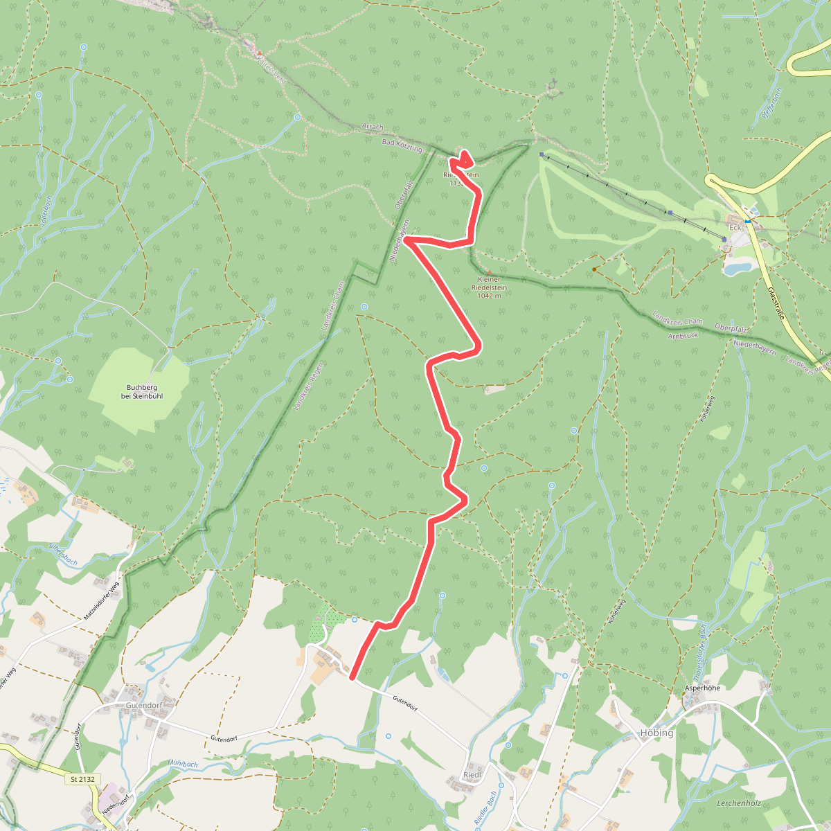
#6. Arnbruck: Ab11 - Waldschmidt-Steig
Arnbruck,Arrach
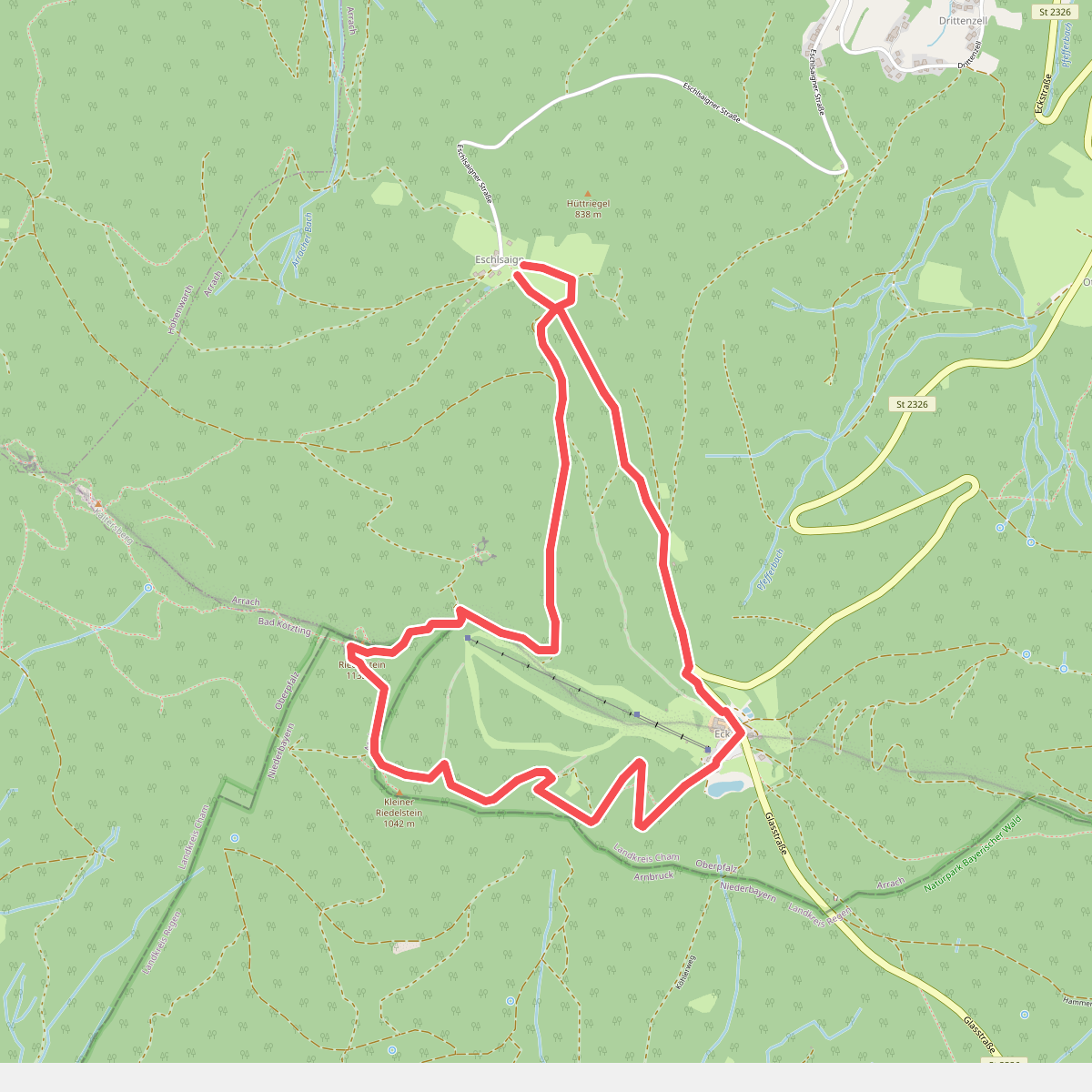
#7. Arrach: Ar10 - Riedelstein-Rundweg
Arrach,Arnbruck
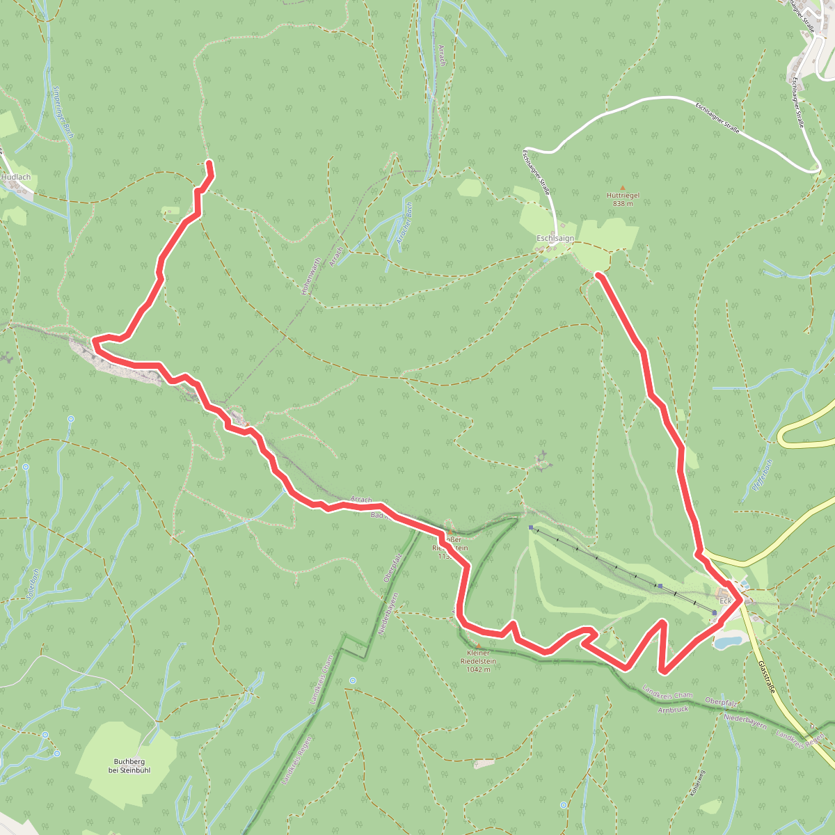
#8. Arrach: Ar6 - Kaitersberg-Panoramaweg
Arrach,Arnbruck,Hohenwarth
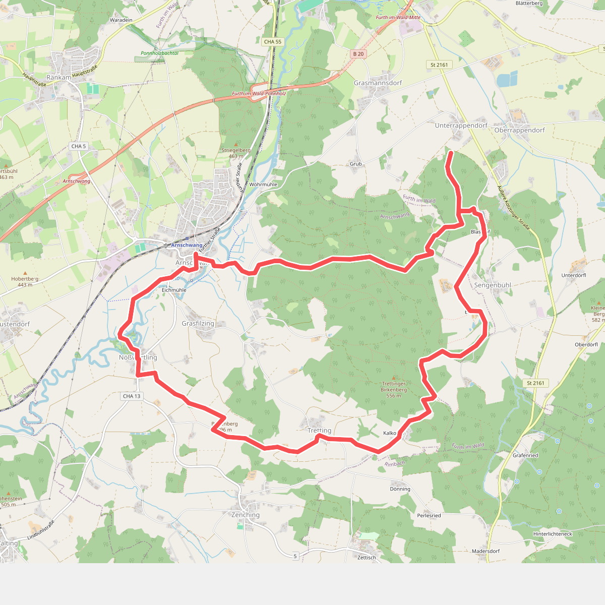
#9. As01 (Sebastiansweg, Arnschwang)
Furth im Wald,Arnschwang
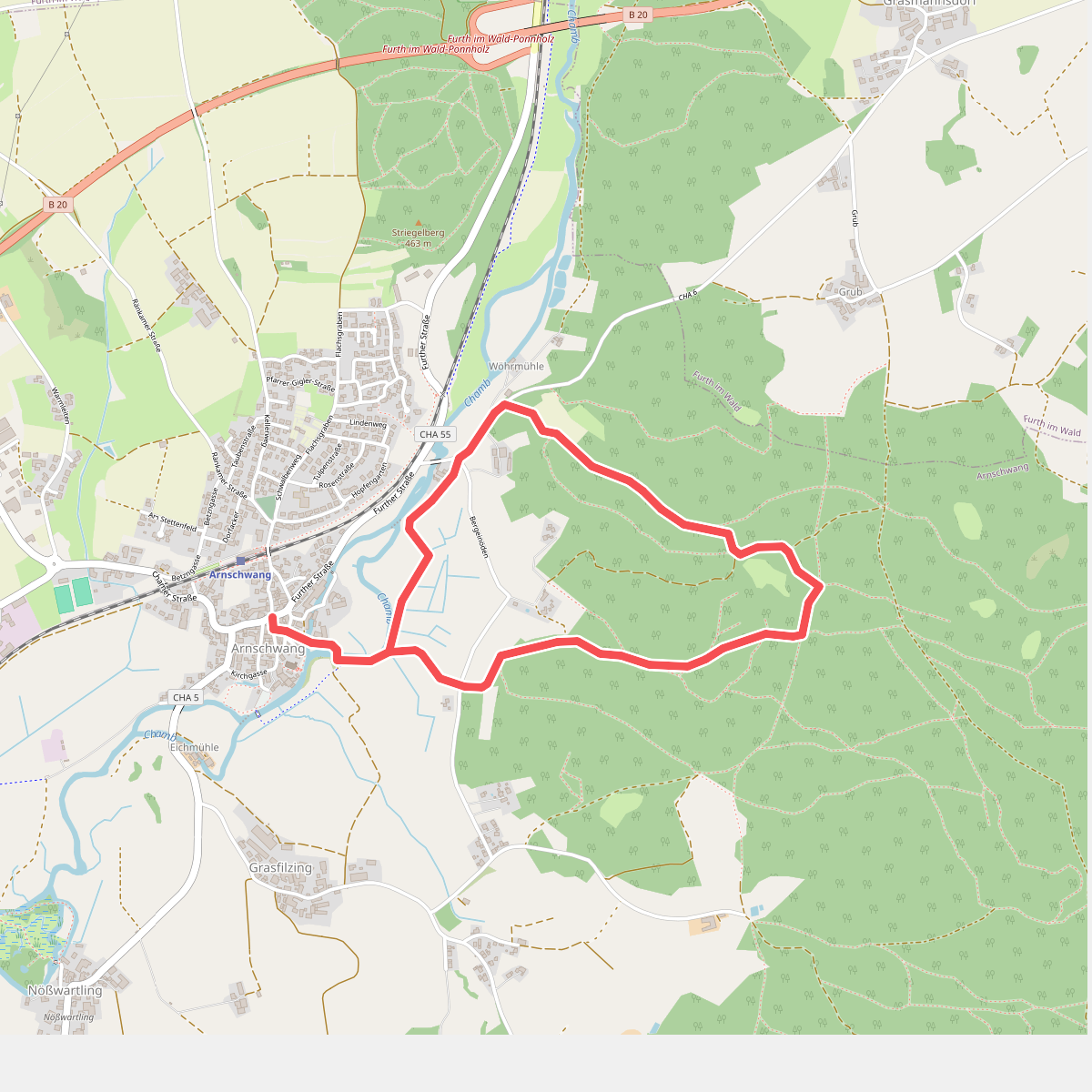
#10. As02 (Kapellenweg, Arnschwang)
Arnschwang
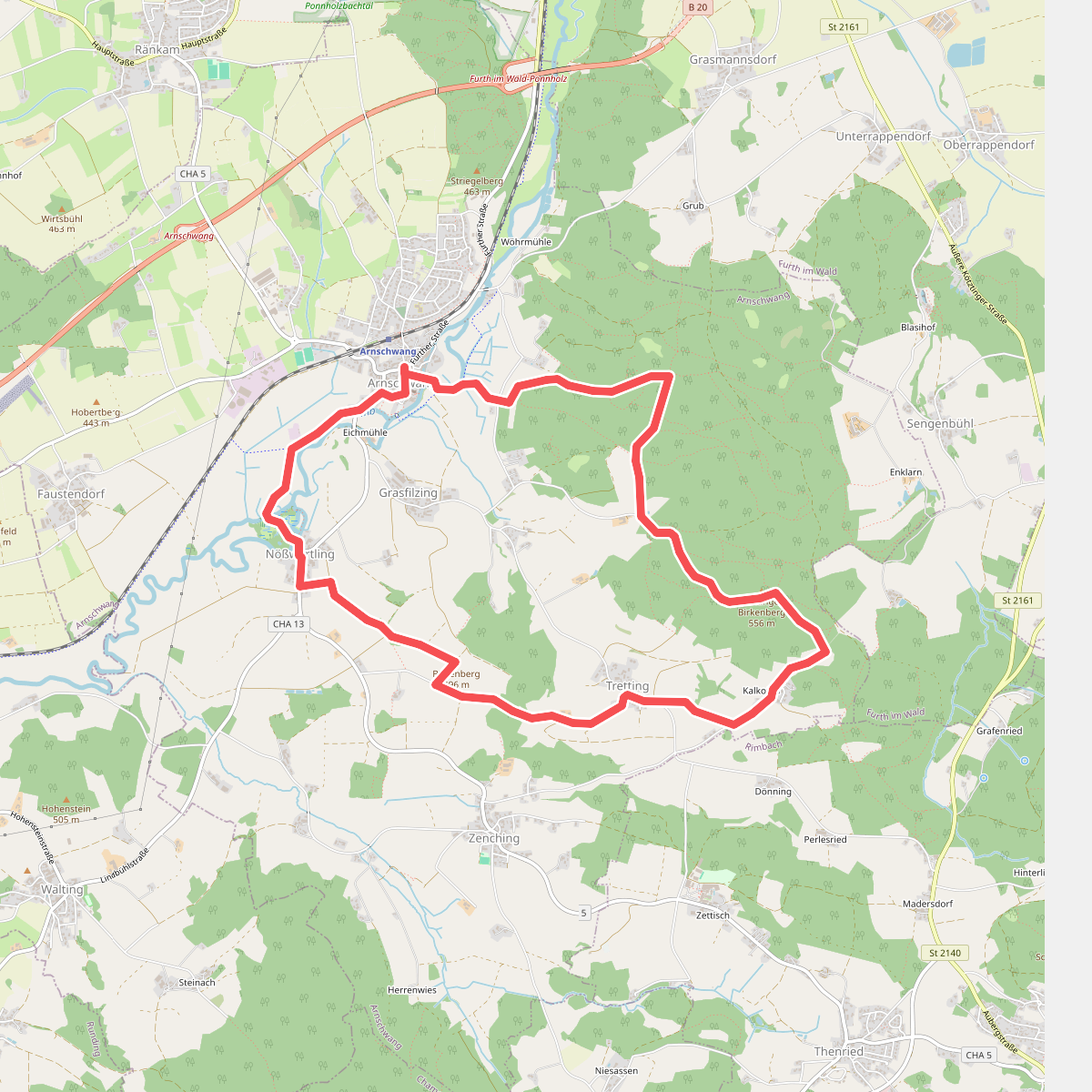
#11. As03 (Kalkofenrundweg, Arnschwang)
Arnschwang
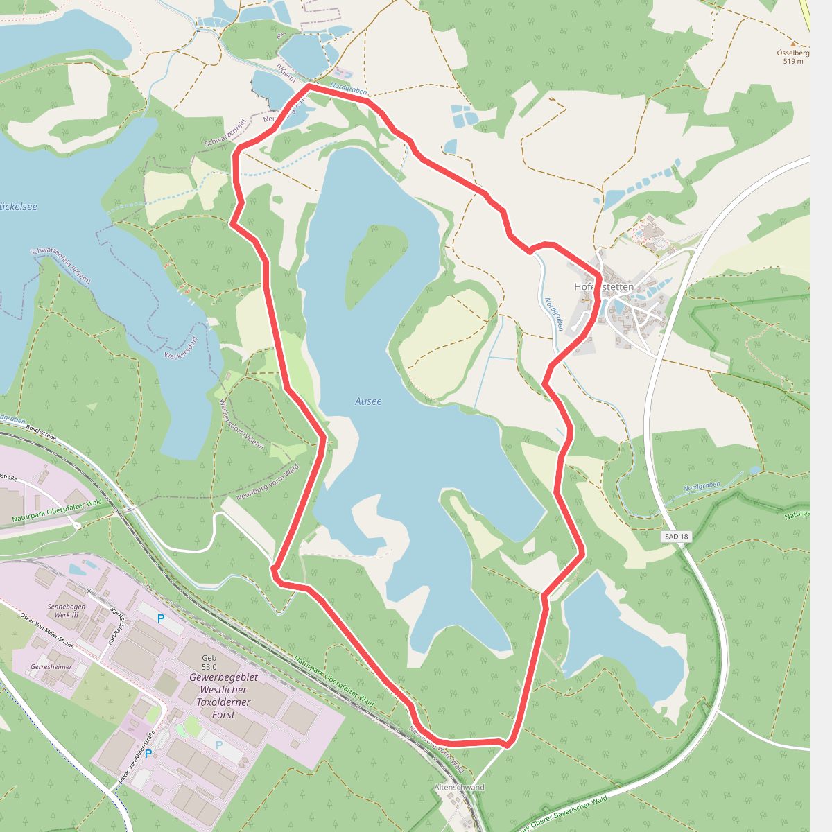
#12. Auseeweg
Neunburg vorm Wald



