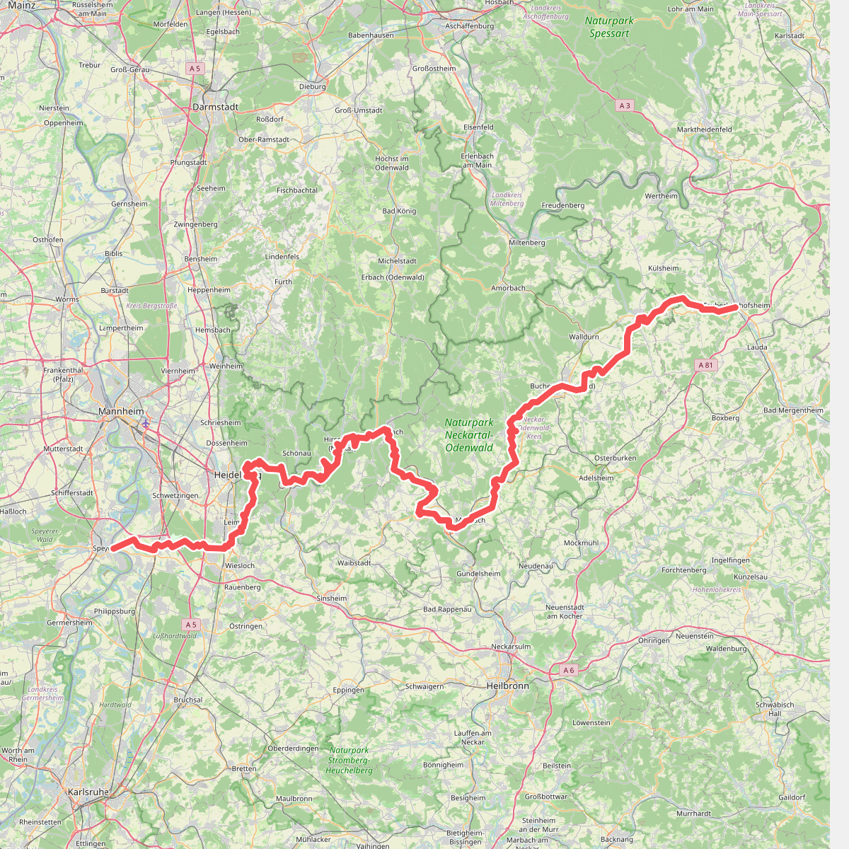
The best hiking routes in Naturpark Neckartal-Odenwald
Discover the best walks in Naturpark Neckartal-Odenwald. 420 routes on the map, with descriptions, photos and GPX.

About Naturpark Neckartal-Odenwald
The Naturpark Neckartal-Odenwald is characterized by two distinct geological zones that dictate your footing and the surrounding forest. In the eastern and northern sections, you walk across a high sandstone plateau where the soil is acidic and sandy, supporting dense coniferous and beech forests. In contrast, the southern and western parts feature fertile shell limestone slopes that descend toward the Neckar river valley, where broadleaf trees and small vineyards dominate the landscape. This is a region of deeply incised river bends and forested hills rather than high alpine peaks, offering gentle crests and steep valley sides.
Read more
About Naturpark Neckartal-Odenwald
The Naturpark Neckartal-Odenwald is characterized by two distinct geological zones that dictate your footing and the surrounding forest. In the eastern and northern sections, you walk across a high sandstone plateau where the soil is acidic and sandy, supporting dense coniferous and beech forests. In contrast, the southern and western parts feature fertile shell limestone slopes that descend toward the Neckar river valley, where broadleaf trees and small vineyards dominate the landscape. This is a region of deeply incised river bends and forested hills rather than high alpine peaks, offering gentle crests and steep valley sides.
Read moreThe Naturpark Neckartal-Odenwald is characterized by two distinct geological zones that dictate your footing and the surrounding forest. In the eastern and northern sections, you walk across a high sandstone plateau where the soil is acidic and sandy, supporting dense coniferous and beech forests. In contrast, the southern and western parts feature fertile shell limestone slopes that descend toward the Neckar river valley, where broadleaf trees and small vineyards dominate the landscape. This is a region of deeply incised river bends and forested hills rather than high alpine peaks, offering gentle crests and steep valley sides.
Underfoot, the paths vary significantly depending on which geological zone you choose. The sandstone areas feature soft, needle-strewn dirt tracks and sandy forest paths that can feel spongy, while the limestone slopes closer to the river present firmer, often stony paths mixed with clay. You will notice the transition in the vegetation, as the sandstone floor supports blueberries and ferns, while the limestone areas are rich in wildflowers and beech trees.
In May, the beech forests on the limestone cliffs above the Neckar loop near Eberbach show their fresh green canopy, making this a particularly scenic time to explore the valley slopes. While the main riverside towns and the immediate paths around Heidelberg can be busy with visitors, the deeper forest trails on the sandstone plateau remain quiet and offer a more solitary walking experience.
Hiking routes in Naturpark Neckartal-Odenwald (420)
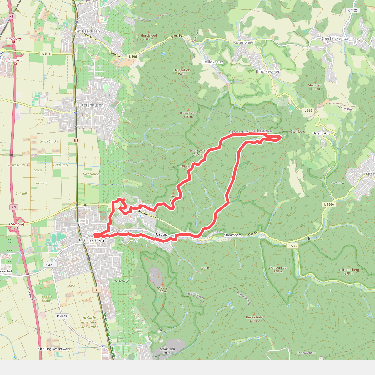
#1. Rundwanderweg Schriesheim 3: Schriesheimer-Hütten-Weg
Schriesheim
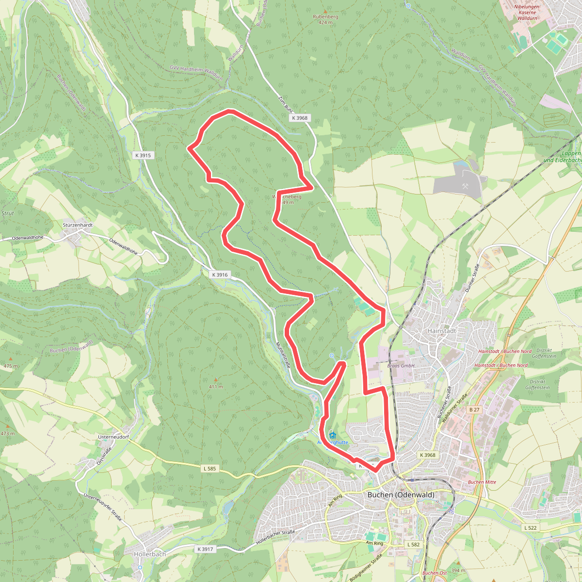
#2. Arnberg-Weg
Buchen (Odenwald)
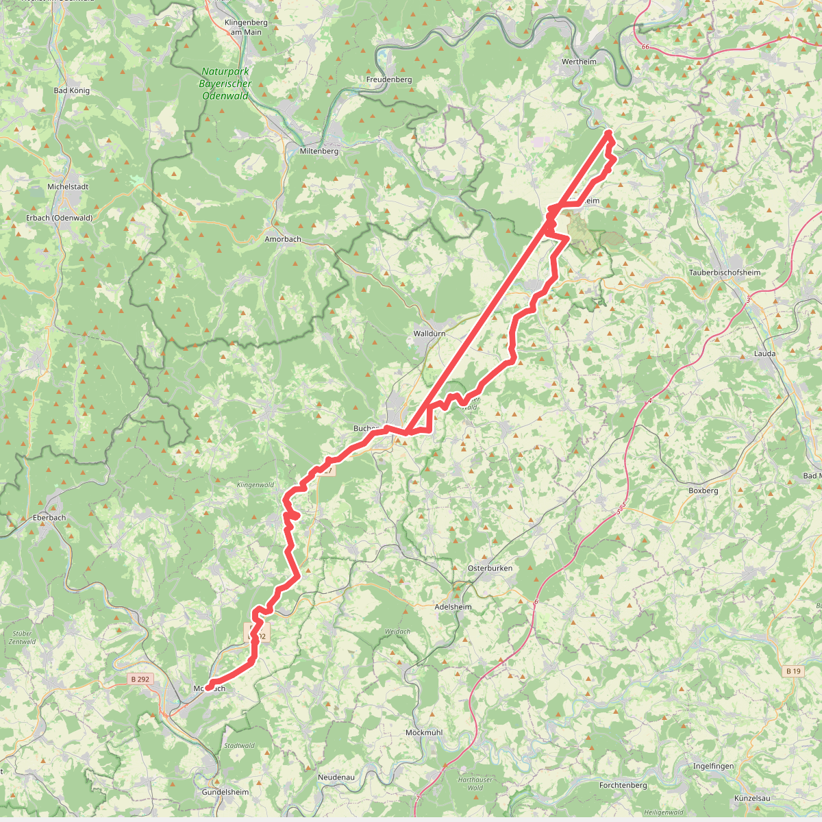
#3. Baulandweg
Mosbach,Limbach,Buchen (Odenwald),Walldürn,Höpfingen,Hardheim,Külsheim,Wertheim
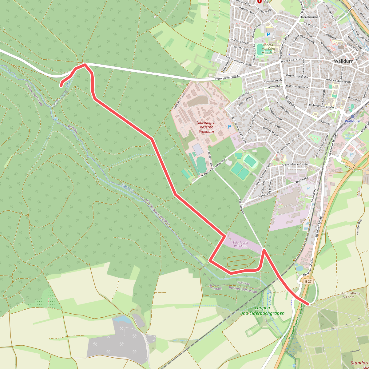
#4. Biotoplehrpfad - Variante 3 - Über die Eiderbach zum Fledermausturm
Walldürn
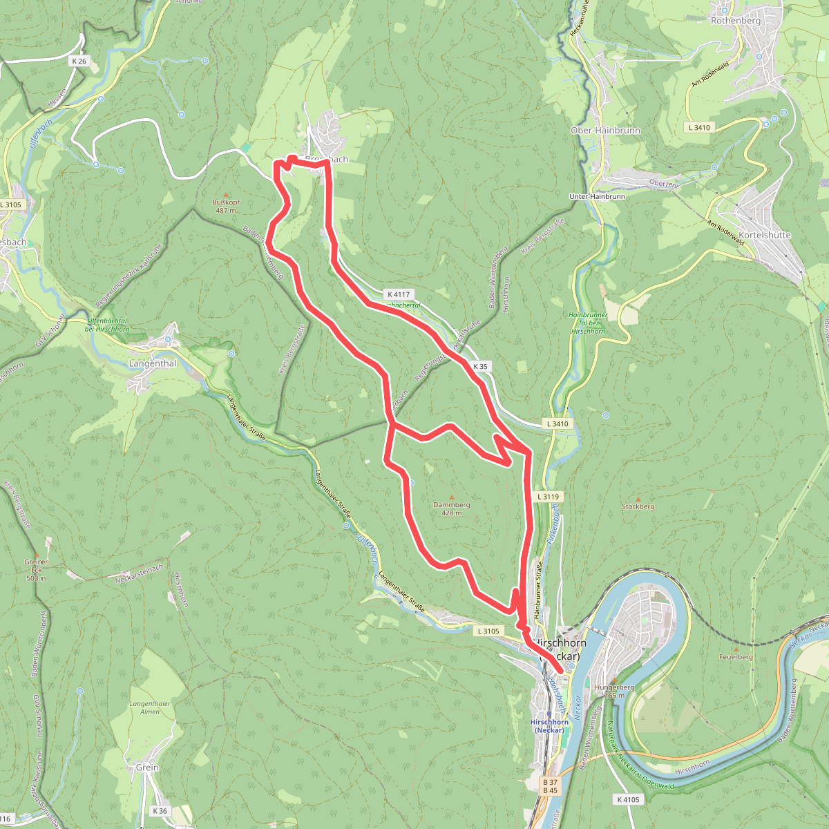
#5. Brombach-Weg
Eberbach
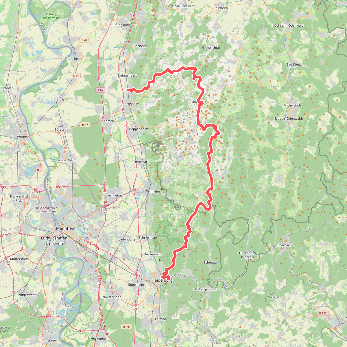
#6. Camino Incluso
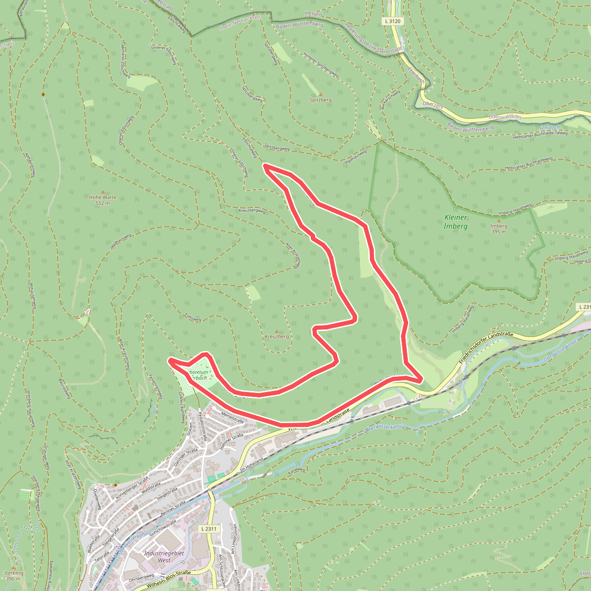
#7. Dürrhebstal-Weg
Eberbach
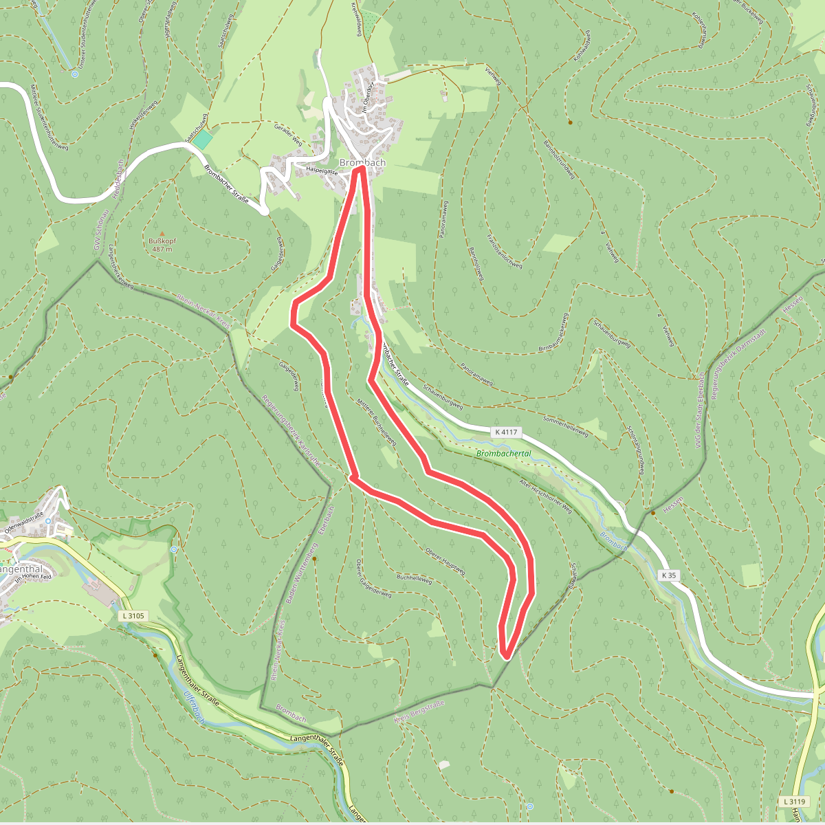
#8. „d'Woog“-Weg
Eberbach
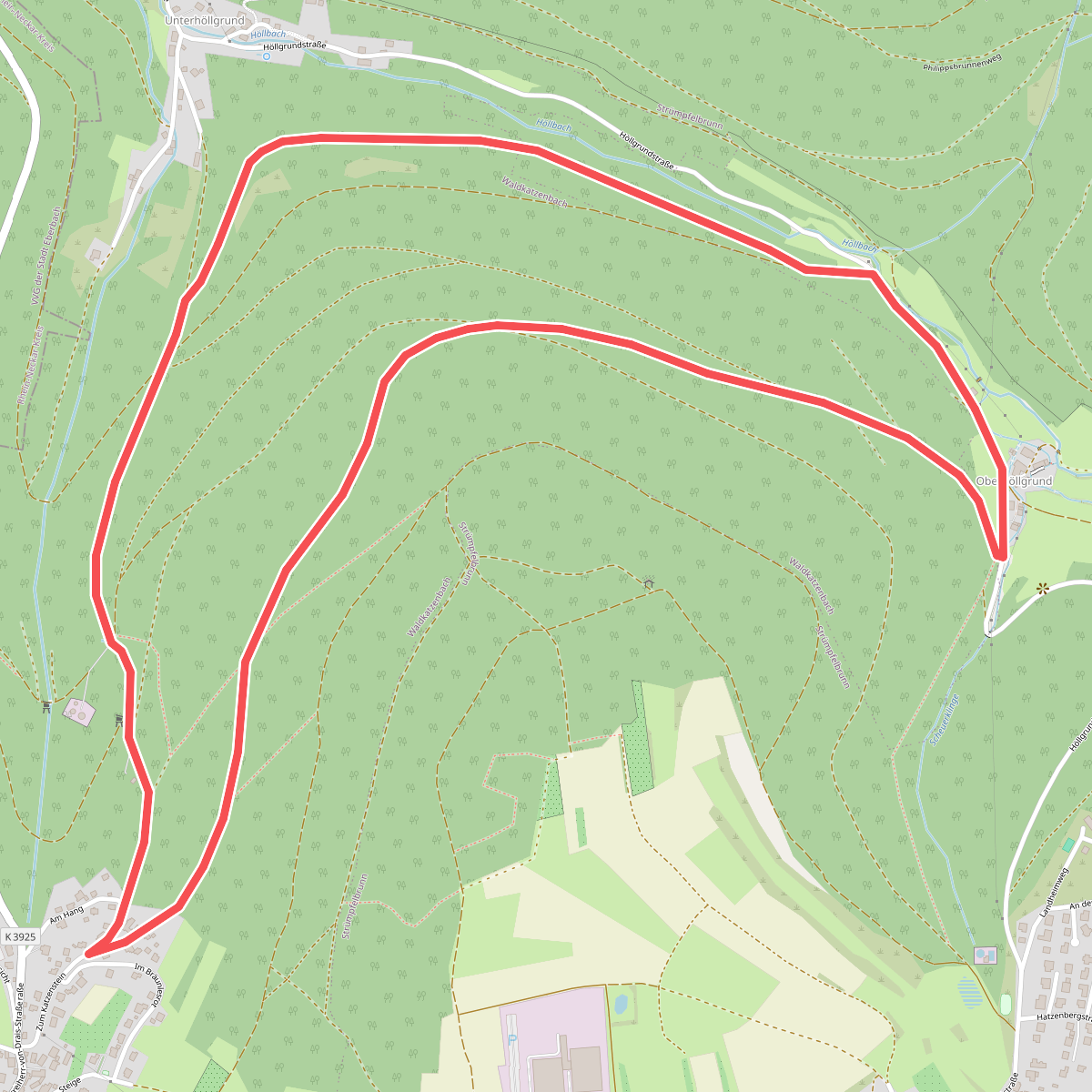
#9. Eisigklinge-Weg
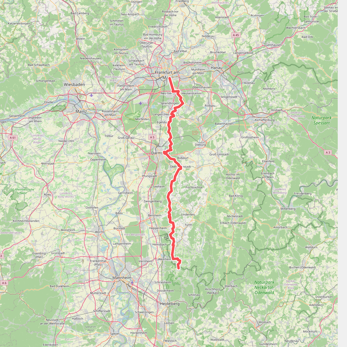
#10. Europäischer Fernwanderweg E1 - Teil Deutschland, Hessen (Gebiet Odenwald Nord)
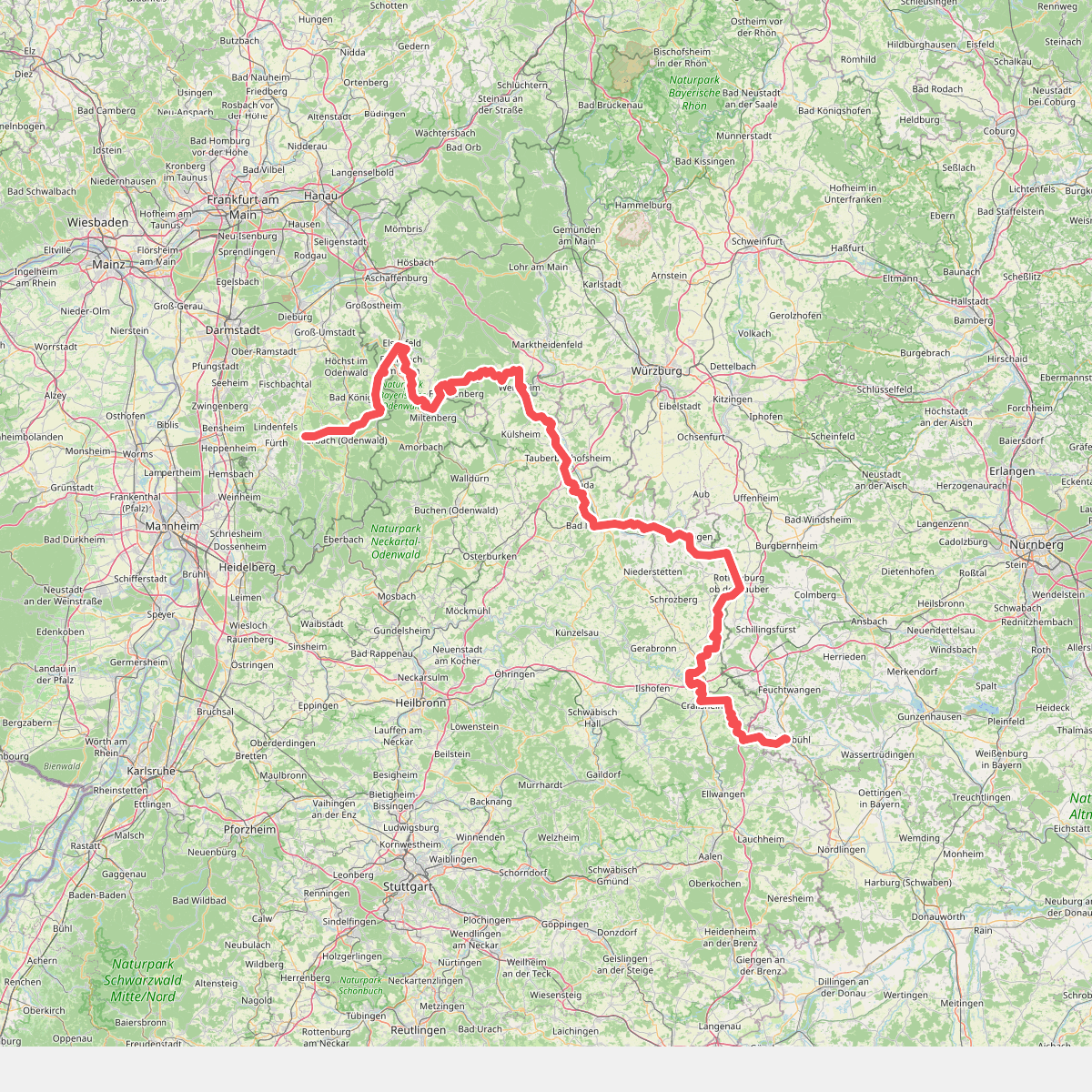
#11. Europäischer Fernwanderweg E8, Baden-Württemberg