

The best hiking routes in Naturpark Nagelfluhkette
Discover the best walks in Naturpark Nagelfluhkette. 15 routes on the map, with descriptions, photos and GPX.
About Naturpark Nagelfluhkette
Naturpark Nagelfluhkette is defined by its unusual geology of nagelfluh, a conglomerate rock of rounded river pebbles cemented together in a natural concrete. This creates a landscape of steep, ribbed ridges and stepped cliffs rather than smooth alpine slopes. Walkers will notice these knobby rock formations directly on the trails, where tree roots cling to the pebbly outcrops. The terrain is characterized by a mix of high-altitude pastures, mountain forests, and wet meadows, with the vegetation changing rapidly as you ascend the ridges.
Read more
About Naturpark Nagelfluhkette
Naturpark Nagelfluhkette is defined by its unusual geology of nagelfluh, a conglomerate rock of rounded river pebbles cemented together in a natural concrete. This creates a landscape of steep, ribbed ridges and stepped cliffs rather than smooth alpine slopes. Walkers will notice these knobby rock formations directly on the trails, where tree roots cling to the pebbly outcrops. The terrain is characterized by a mix of high-altitude pastures, mountain forests, and wet meadows, with the vegetation changing rapidly as you ascend the ridges.
Read moreNaturpark Nagelfluhkette is defined by its unusual geology of nagelfluh, a conglomerate rock of rounded river pebbles cemented together in a natural concrete. This creates a landscape of steep, ribbed ridges and stepped cliffs rather than smooth alpine slopes. Walkers will notice these knobby rock formations directly on the trails, where tree roots cling to the pebbly outcrops. The terrain is characterized by a mix of high-altitude pastures, mountain forests, and wet meadows, with the vegetation changing rapidly as you ascend the ridges.
Underfoot, the paths vary from wide, gravel forest tracks in the valleys to narrow, steep mountain trails higher up. Many of the ridge walks require sure-footedness, as the trail often runs directly along the narrow, rocky crests where the conglomerate stone can be exposed and slippery. Unlike classic limestone regions, this conglomerate rock holds water differently, leading to numerous small springs and marshy patches even high on the slopes, often bypassed by simple wooden planks.
This area is not a place of jagged volcanic peaks or permanent glaciers, but rather a series of long, continuous green ridges. The lower valleys and main access points near the cable cars are often busy with visitors, while the steeper, intermediate paths between the peaks offer a quieter walking experience. In June, the alpine meadows along the ridges are particularly distinct, marked by the flowering of yellow gentians and alpine roses directly against the grey conglomerate rock.
Hiking routes in Naturpark Nagelfluhkette (15)
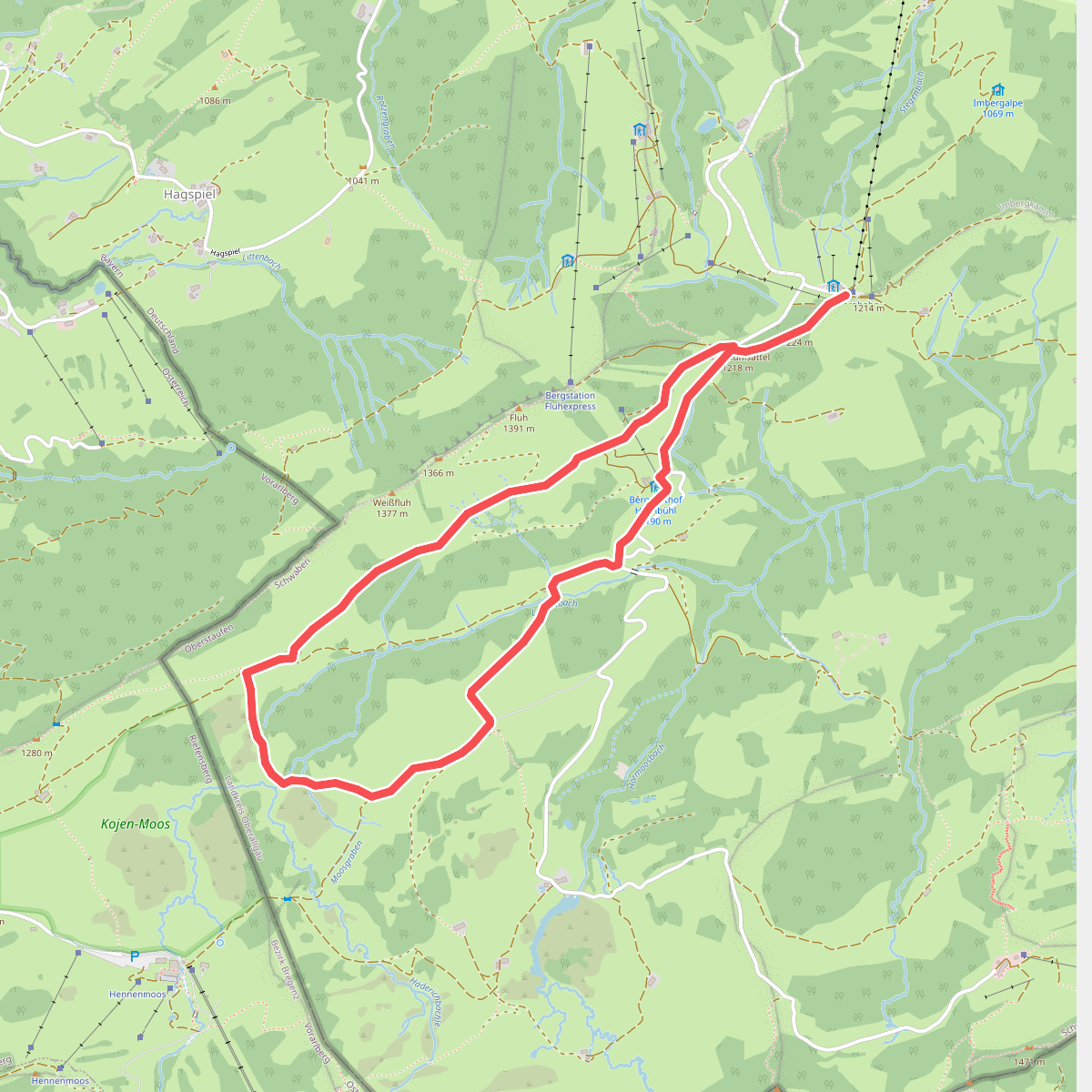
#1. Alperlebnispfad am Imberg
Oberstaufen
![[E4] Europäischer Fernwanderweg [003]](https://wandelweb.fsn1.your-objectstorage.com/tracks/static-maps/54755-1779150365-large.png)
#2. [E4] Europäischer Fernwanderweg [003]
![[E4/E5] Europäischer Fernwanderweg Rhein bis Grenze D](https://wandelweb.fsn1.your-objectstorage.com/tracks/static-maps/51078-1779147107-large.png)
#3. [E4/E5] Europäischer Fernwanderweg Rhein bis Grenze D
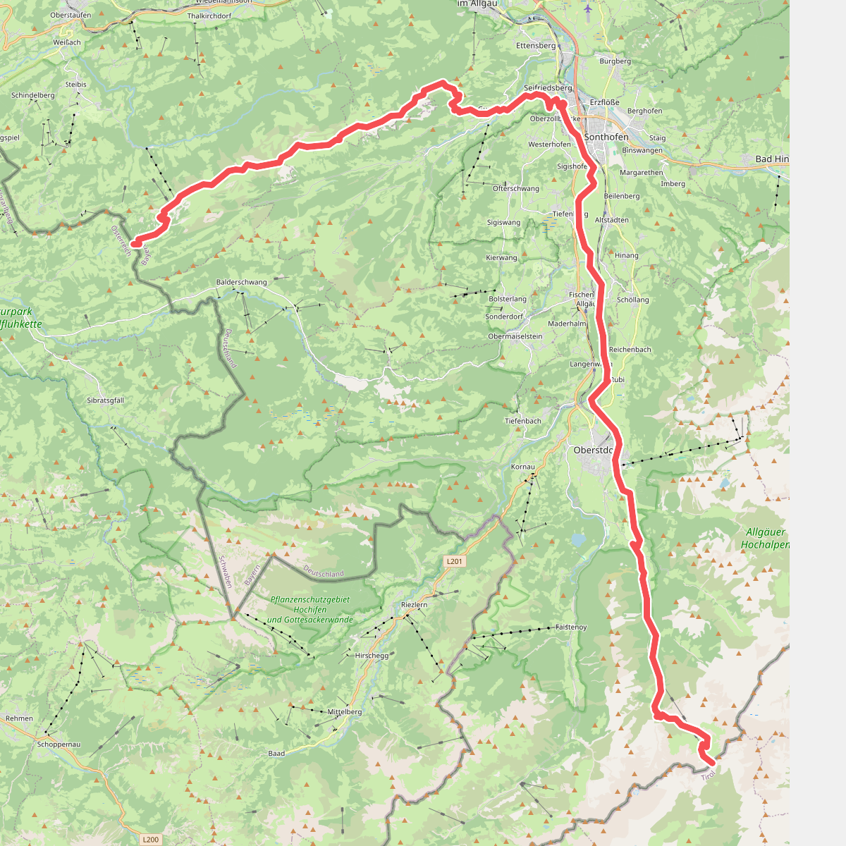
#4. Europäischer Fernwanderweg E5, Deutschland
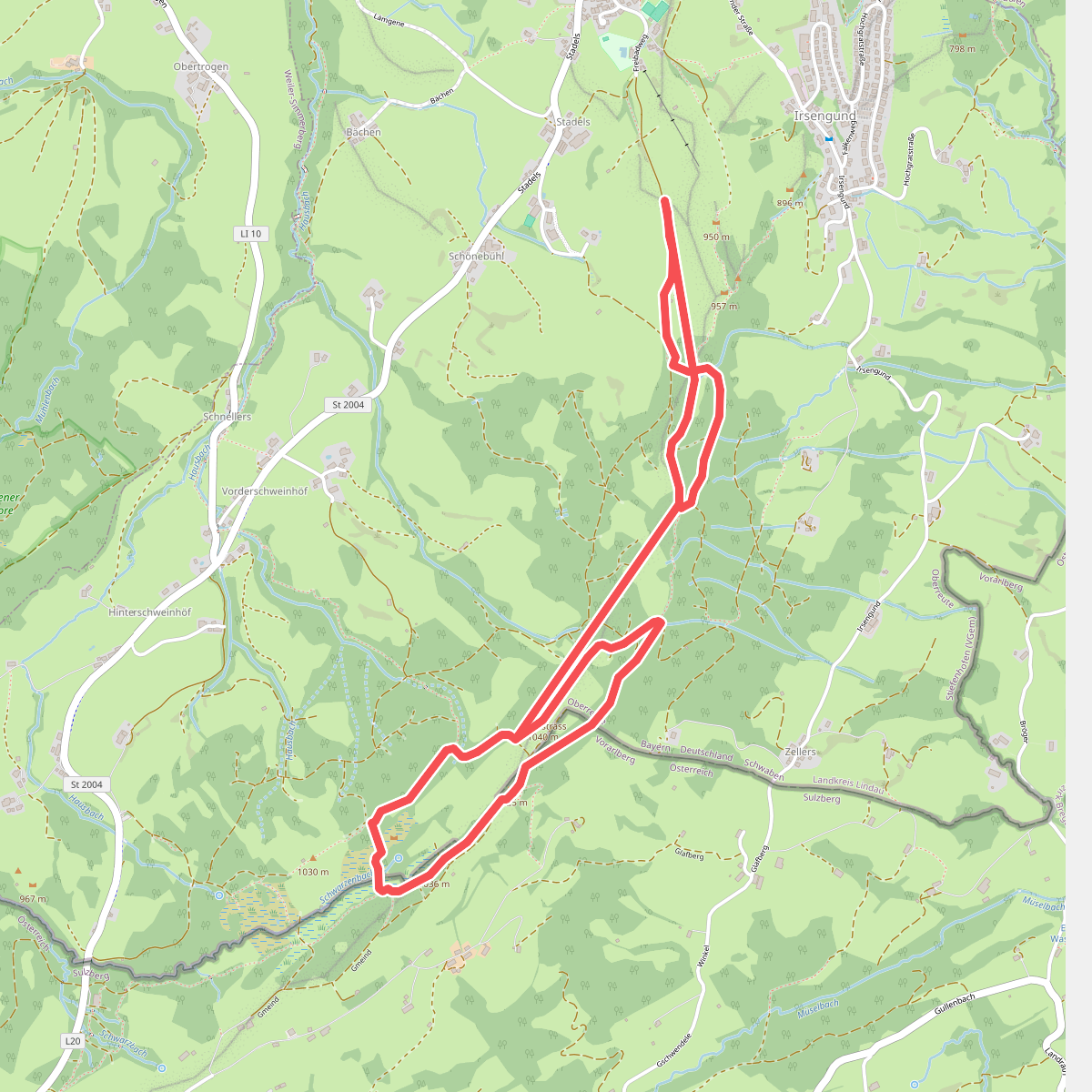
#5. Grenzer Pfad
Oberreute,Sulzberg
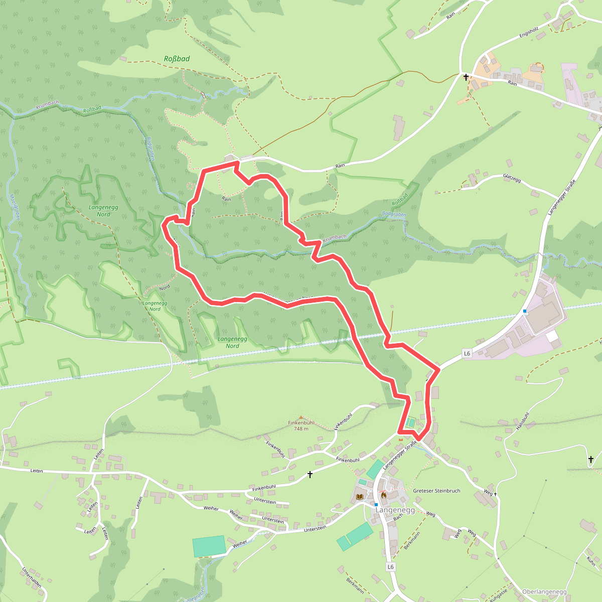
#6. Lausbubenweg
Langenegg,Krumbach
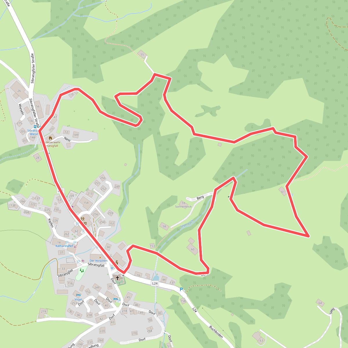
#7. Nest-Rundweg
Sibratsgfäll
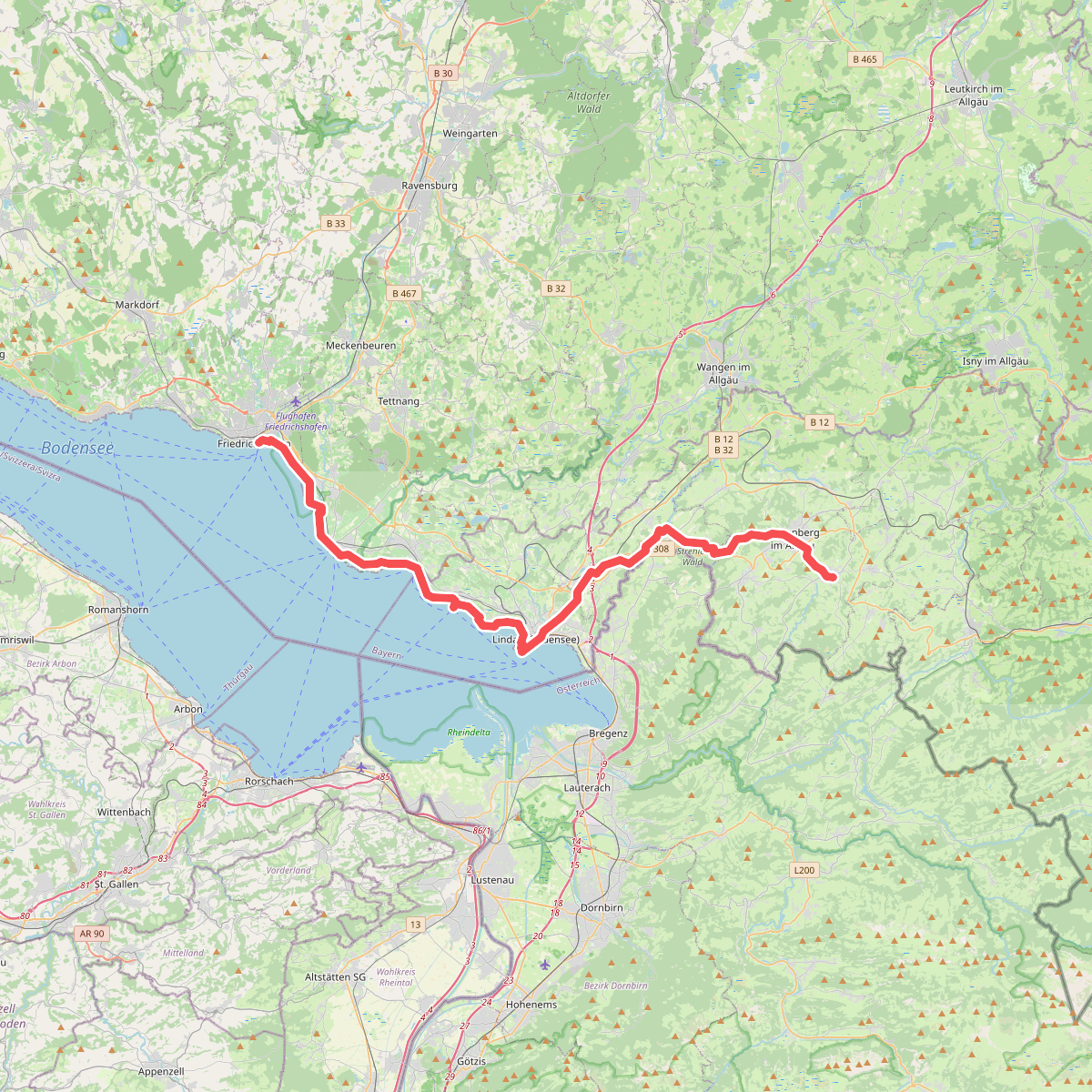
#8. Nord Süd Trail, Abschnitt Friedrichshafen - Weiler im Allgäu
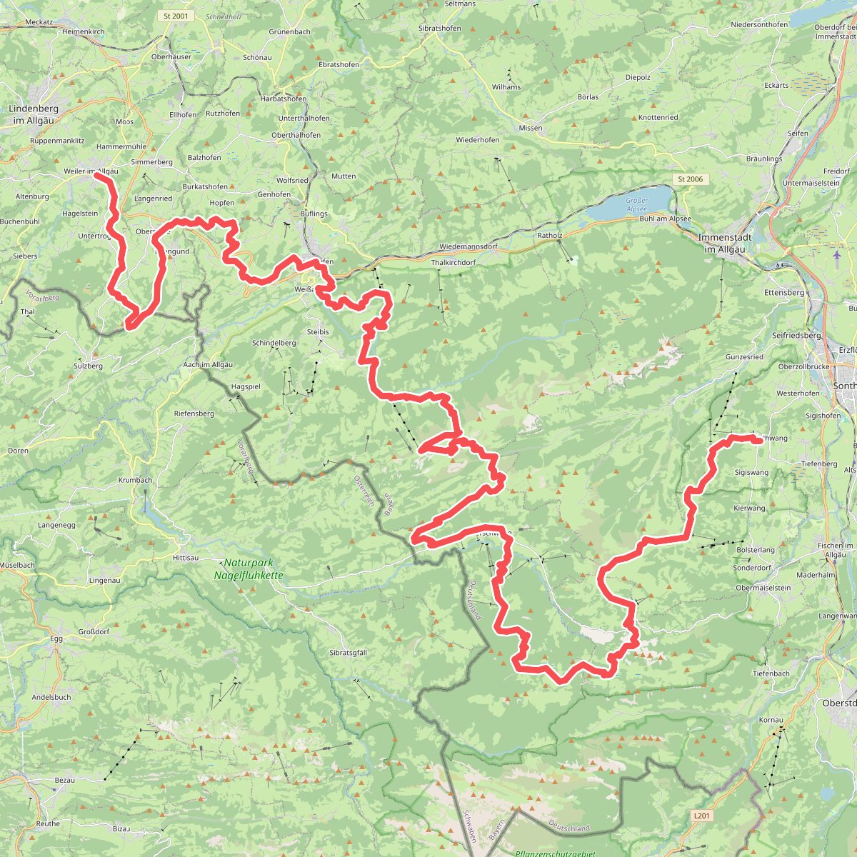
#9. Nord Süd Trail, Abschnitt Weiler im Allgäu - Ofterschwang
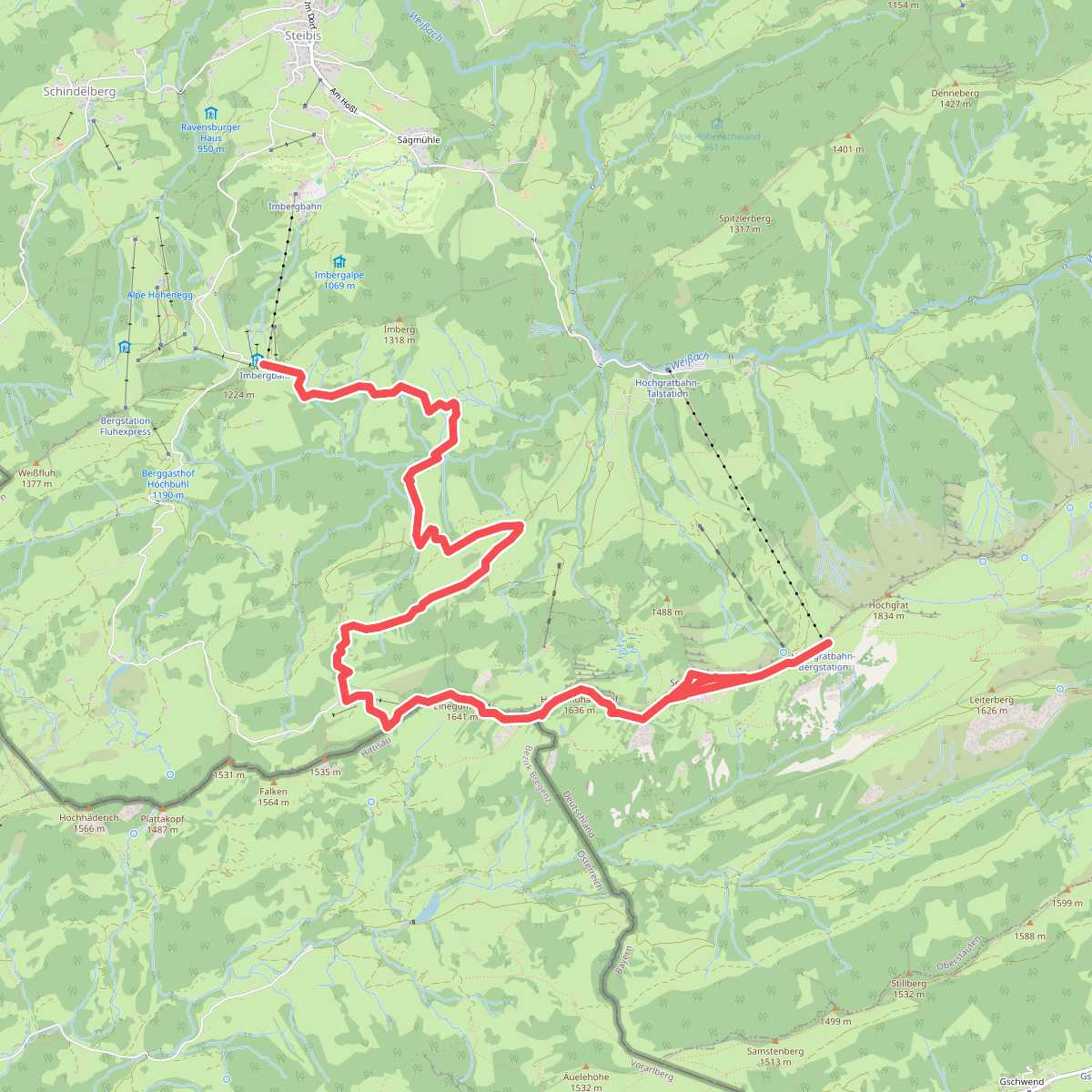
#10. Premiumwanderweg Alpin Luftiger Grat
Oberstaufen,Hittisau
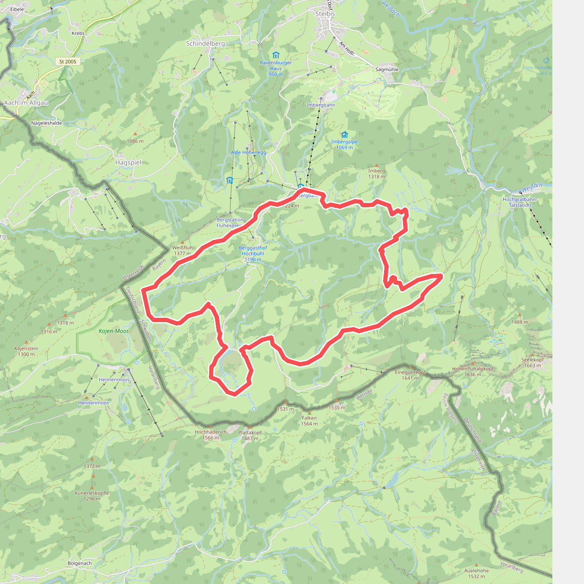
#11. Premiumwanderweg Nagelfluhschleife Alpenfreiheit
Oberstaufen
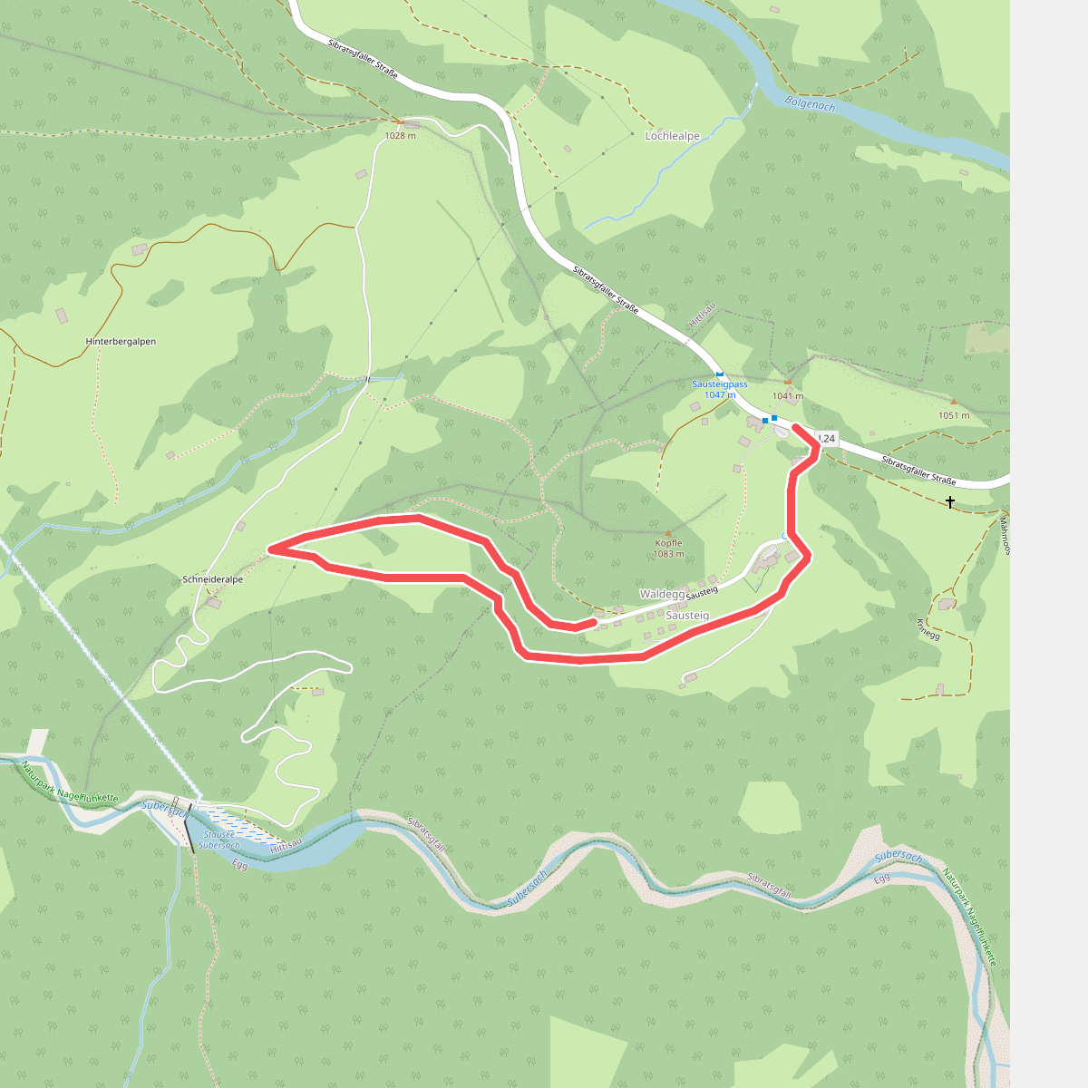
#12. Sausteigrundweg
Sibratsgfäll,Hittisau



