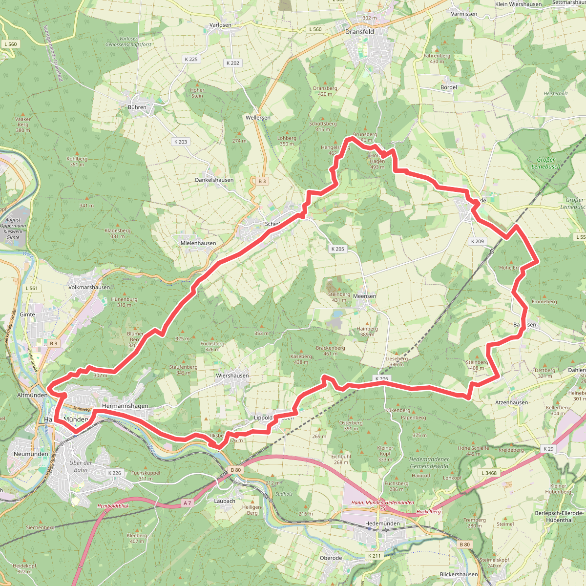
The best hiking routes in Naturpark Münden
Discover the best walks in Naturpark Münden. 106 routes on the map, with descriptions, photos and GPX.
About Naturpark Münden
Naturpark Münden is characterized by densely forested, rounded hills where the Werra and Fulda rivers meet to form the Weser. Walking here means moving through extensive beech and oak forests, interspersed with open basalt summits and narrow river valleys. The terrain is gently rolling rather than steep, offering steady climbs on wide forestry tracks and soft earth paths. You will not find dramatic alpine peaks or rugged gorges, but rather a continuous canopy of deciduous trees that shapes the interior of the park.
Read more
About Naturpark Münden
Naturpark Münden is characterized by densely forested, rounded hills where the Werra and Fulda rivers meet to form the Weser. Walking here means moving through extensive beech and oak forests, interspersed with open basalt summits and narrow river valleys. The terrain is gently rolling rather than steep, offering steady climbs on wide forestry tracks and soft earth paths. You will not find dramatic alpine peaks or rugged gorges, but rather a continuous canopy of deciduous trees that shapes the interior of the park.
Read moreNaturpark Münden is characterized by densely forested, rounded hills where the Werra and Fulda rivers meet to form the Weser. Walking here means moving through extensive beech and oak forests, interspersed with open basalt summits and narrow river valleys. The terrain is gently rolling rather than steep, offering steady climbs on wide forestry tracks and soft earth paths. You will not find dramatic alpine peaks or rugged gorges, but rather a continuous canopy of deciduous trees that shapes the interior of the park.
Underfoot, the paths vary from packed gravel forestry roads to narrow, dirt trails that follow the contours of the hills. Basalt formations break through the soil in several places, particularly around the higher points like the Hoher Hagen, where old quarrying sites have left distinct stone faces. The forest floor is thick with leaf litter, which becomes particularly dense and colorful in October.
Because the park is deeply integrated with the river valleys, many routes transition quickly from damp, shaded valley bottoms to drier, wind-exposed forested ridges. The valleys are home to small meadows and floodplain vegetation, while the higher elevations feature drier soil conditions where conifers mix with the native beech. It is a landscape of quiet, enclosed woodland walking, where the main variety comes from the shifting tree species and the occasional opening that reveals the river bends below.
Hiking routes in Naturpark Münden (106)
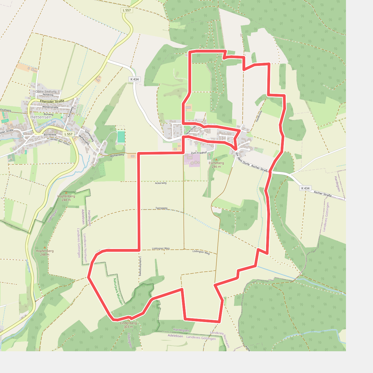
#1. Asche Blaue Runde
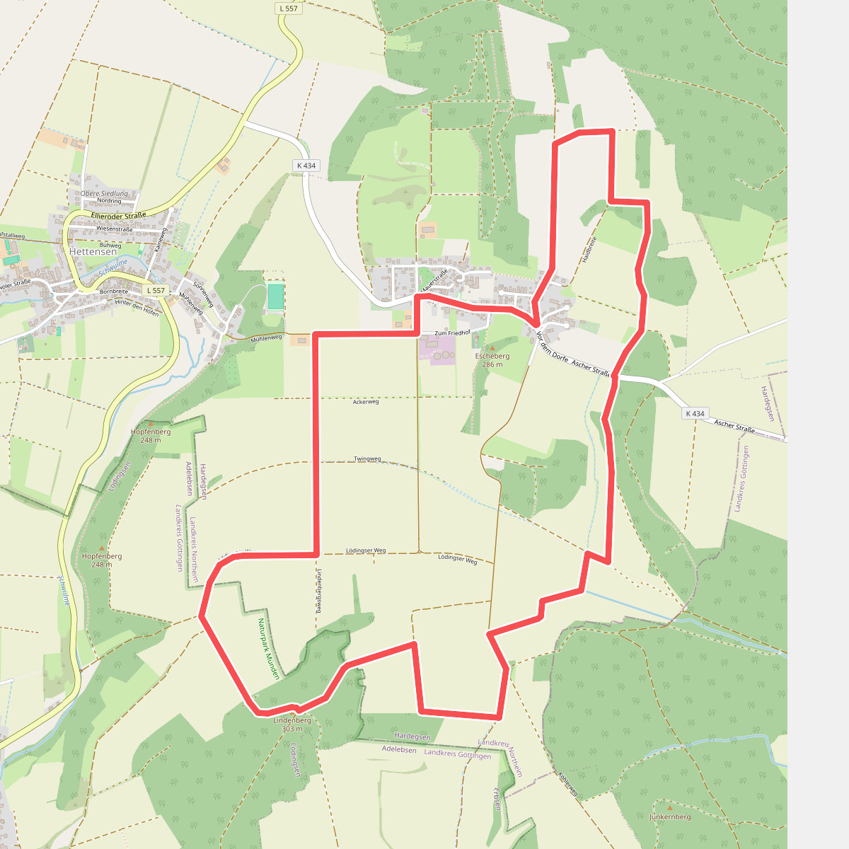
#2. Asche Rote Runde
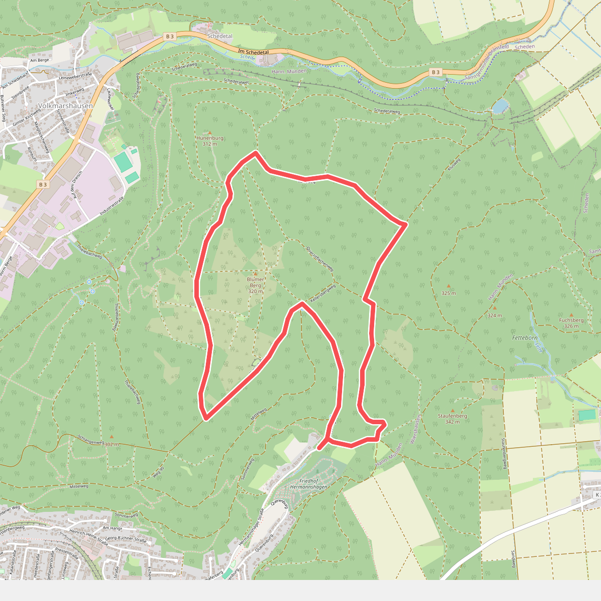
#3. Blume - B2
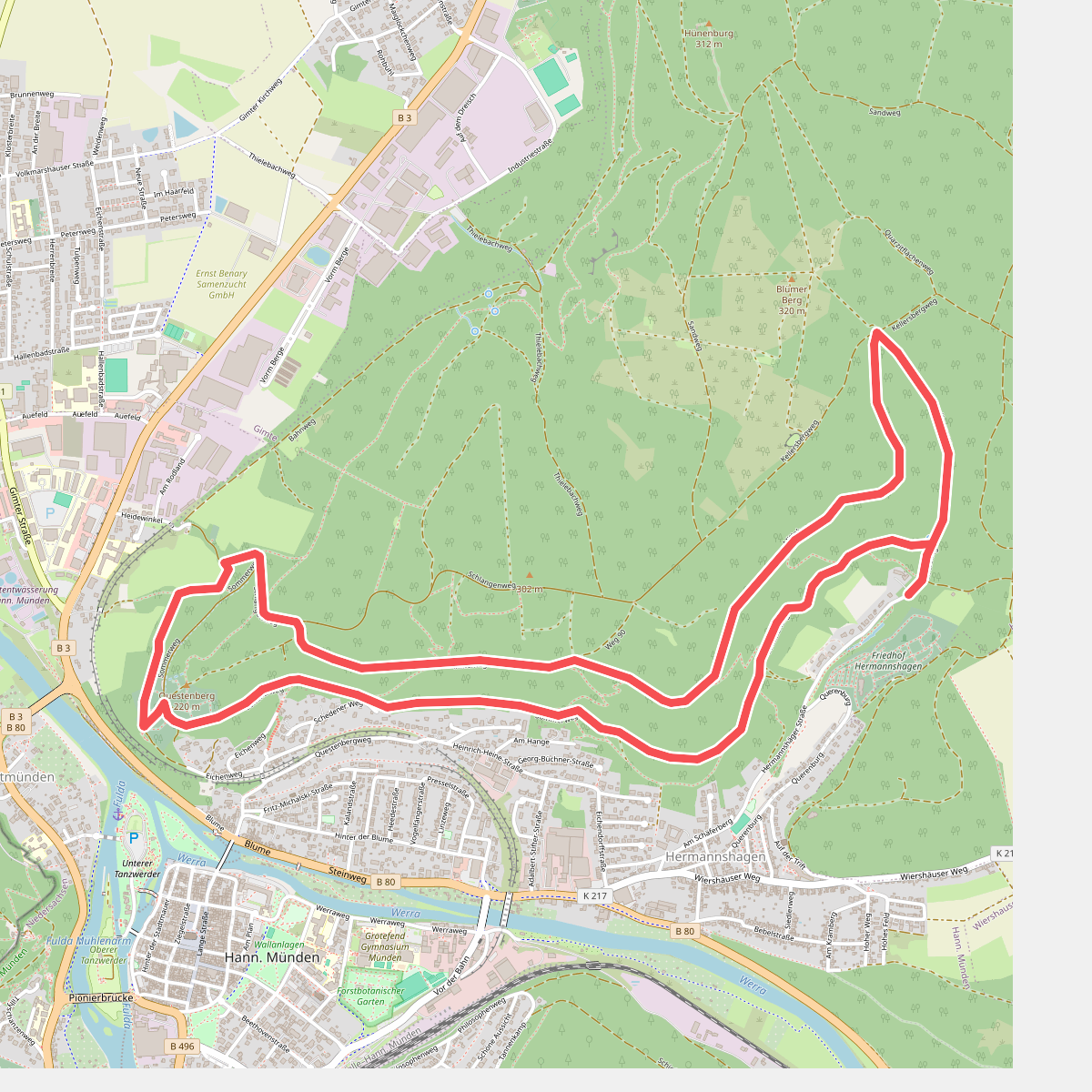
#4. Blume - B3
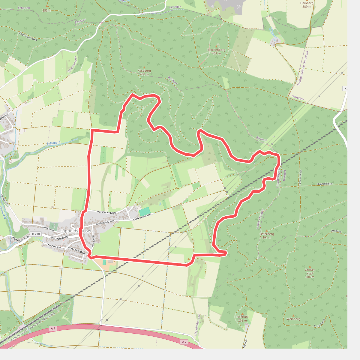
#5. Der Frauenschuhweg
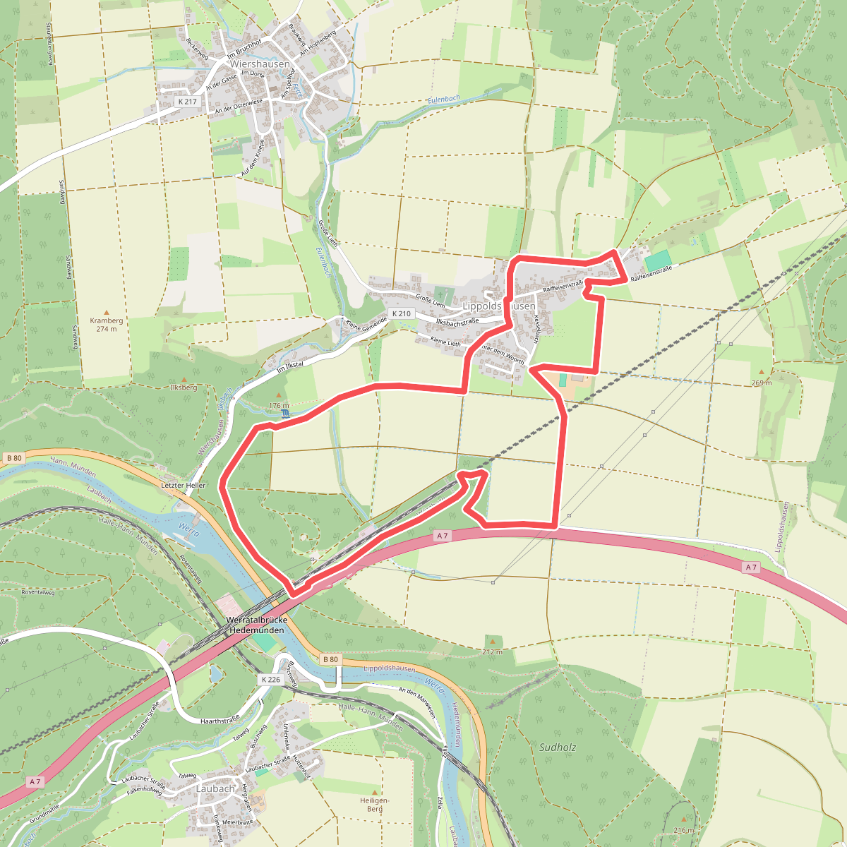
#6. Durchs Lippoldshäuser Feld
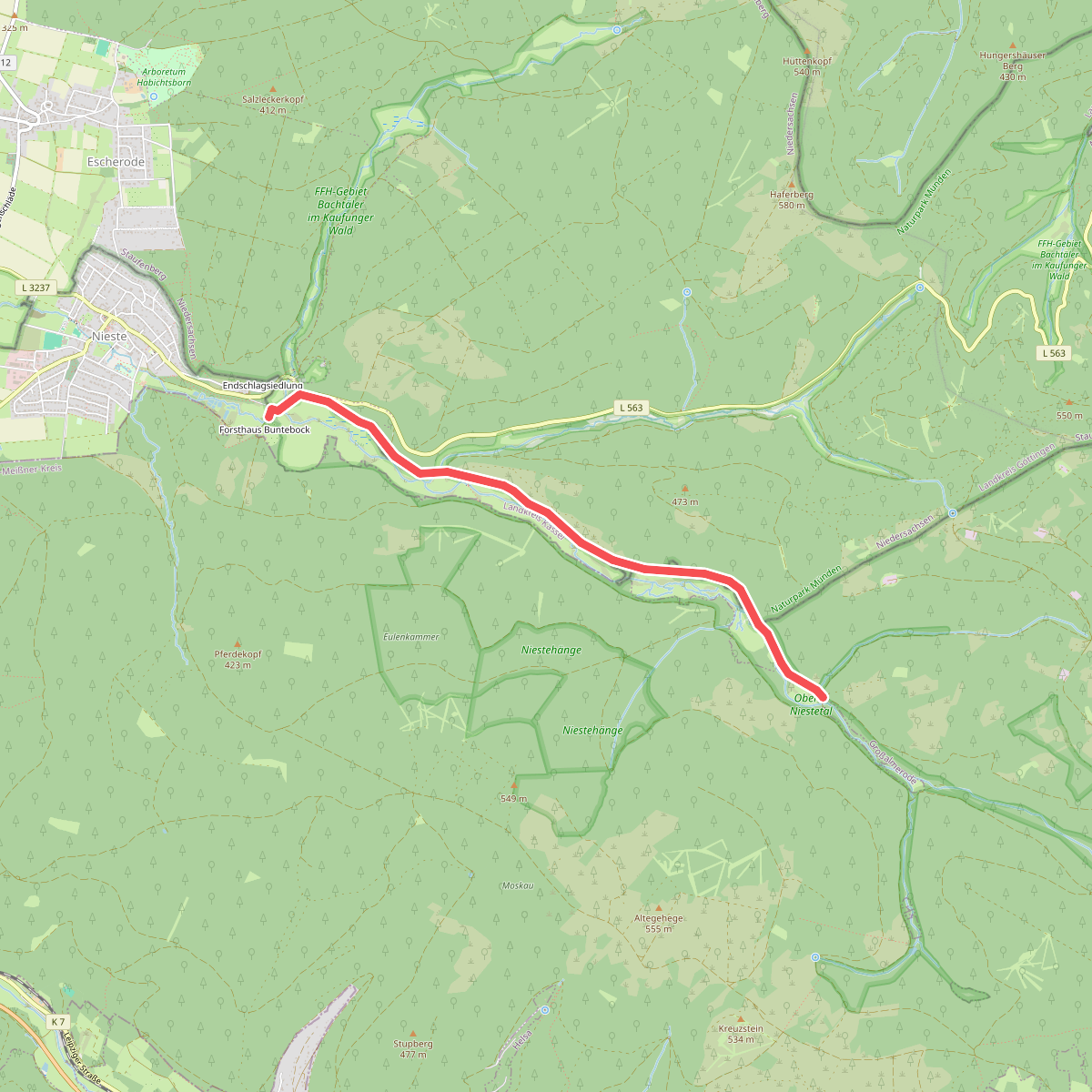
#7. Eco Pfad Gläsnertal
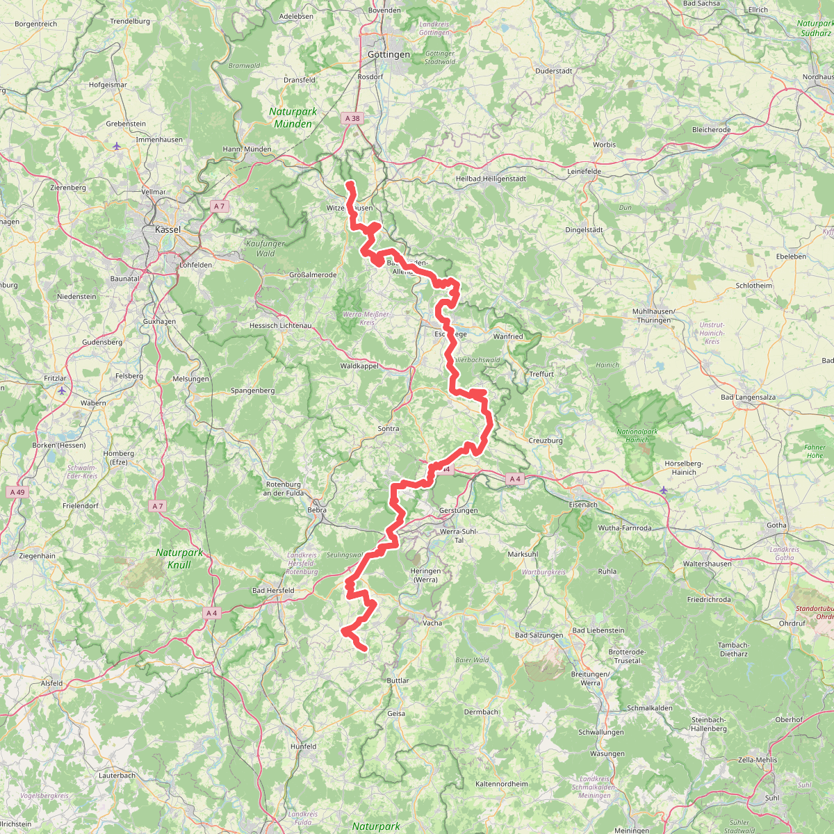
#8. Europäischer Fernwanderweg E6, Deutschland, Hessen
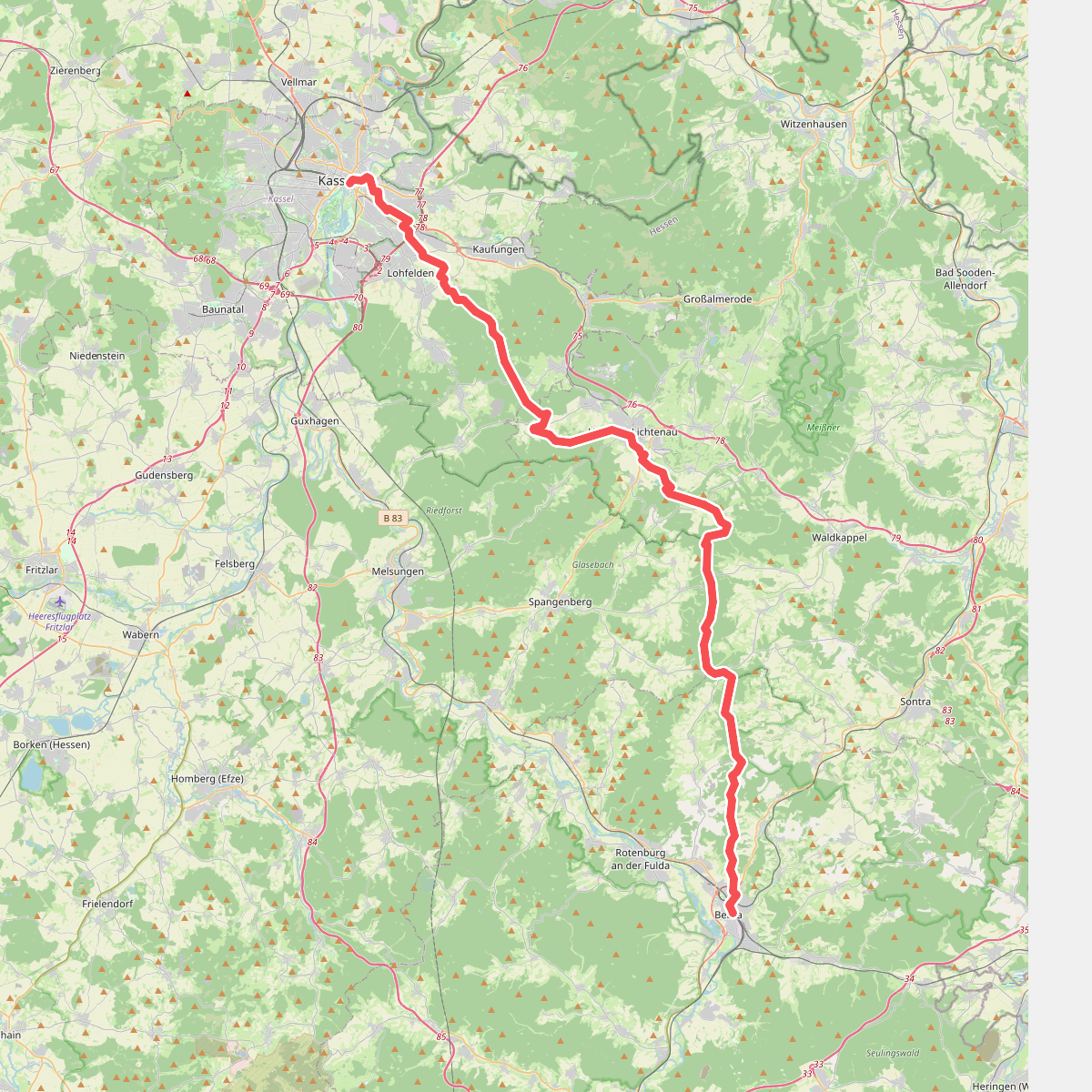
#9. Franzosenstraße
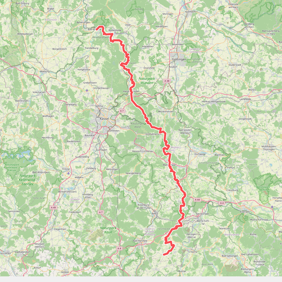
#10. Frau-Holle-Pfad
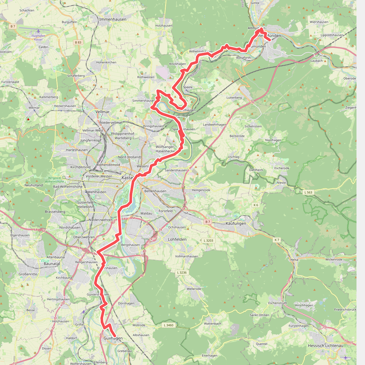
#11. Fuldahöhenweg (Teilstück Guxhagen - Weserstein / Hann. Münden)