

The best hiking routes in Naturpark Hohe Mark - Westmünsterland
Discover the best walks in Naturpark Hohe Mark - Westmünsterland. 161 routes on the map, with descriptions, photos and GPX.
About Naturpark Hohe Mark - Westmünsterland
Naturpark Hohe Mark - Westmünsterland offers a transition between the industrial Ruhr region and the flat plains of Westphalia. The landscape is characterized by its low, undulating hills, dense deciduous and coniferous forests, and open heathlands. You will not find dramatic peaks or deep valleys here; instead, the terrain consists of gentle ridges like the Hohe Mark itself, interspersed with damp river meadows and pockets of dark pine forest.
Read more
About Naturpark Hohe Mark - Westmünsterland
Naturpark Hohe Mark - Westmünsterland offers a transition between the industrial Ruhr region and the flat plains of Westphalia. The landscape is characterized by its low, undulating hills, dense deciduous and coniferous forests, and open heathlands. You will not find dramatic peaks or deep valleys here; instead, the terrain consists of gentle ridges like the Hohe Mark itself, interspersed with damp river meadows and pockets of dark pine forest.
Read moreNaturpark Hohe Mark - Westmünsterland offers a transition between the industrial Ruhr region and the flat plains of Westphalia. The landscape is characterized by its low, undulating hills, dense deciduous and coniferous forests, and open heathlands. You will not find dramatic peaks or deep valleys here; instead, the terrain consists of gentle ridges like the Hohe Mark itself, interspersed with damp river meadows and pockets of dark pine forest.
Underfoot, the paths vary significantly depending on the specific zone you choose. In the forested hills, you will walk mostly on firm, packed dirt tracks and gravel forestry roads. In the sandy heath and bog areas, such as the Westruper Heide, the ground shifts to loose sand and narrow, winding dirt paths. Boardwalks are present in some of the wetter, marshy depressions to protect the fragile peat soils.
This park is highly accessible, meaning you will often share the main trails near the reservoirs and trailheads with cyclists and local walkers, though the deeper forest tracks remain quieter. The landscape is a product of historical forestry and sand extraction, which is visible in the straight lines of the pine plantations and the sudden appearance of quiet quarry lakes amidst the trees.
Hiking routes in Naturpark Hohe Mark - Westmünsterland (161)
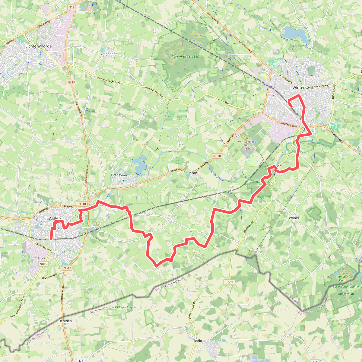
#1. Lijnwandeling Bekendelle · Scholtenpad etappe 16
Aalten,Bredevoort,Winterswijk Woold,Winterswijk Miste,Winterswijk
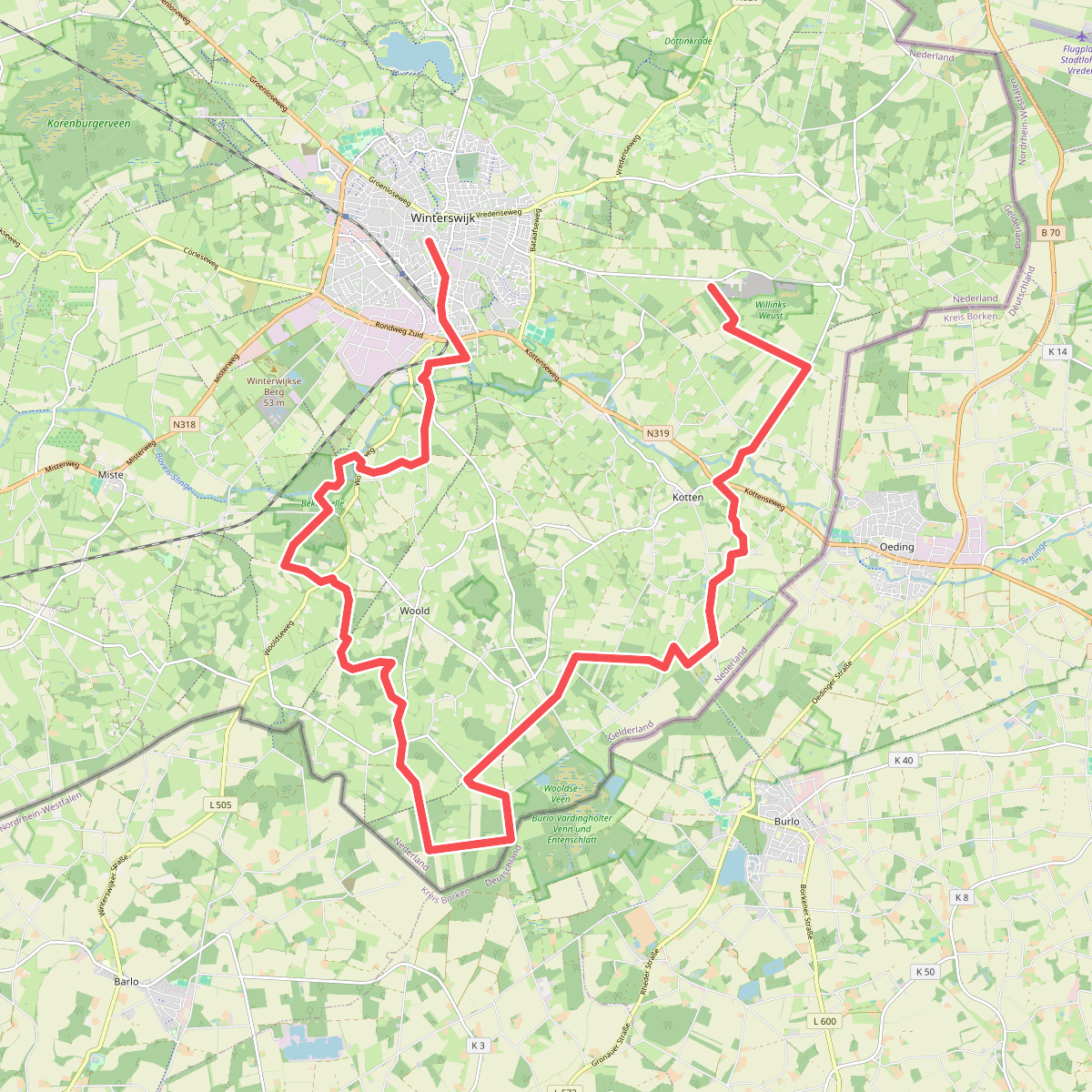
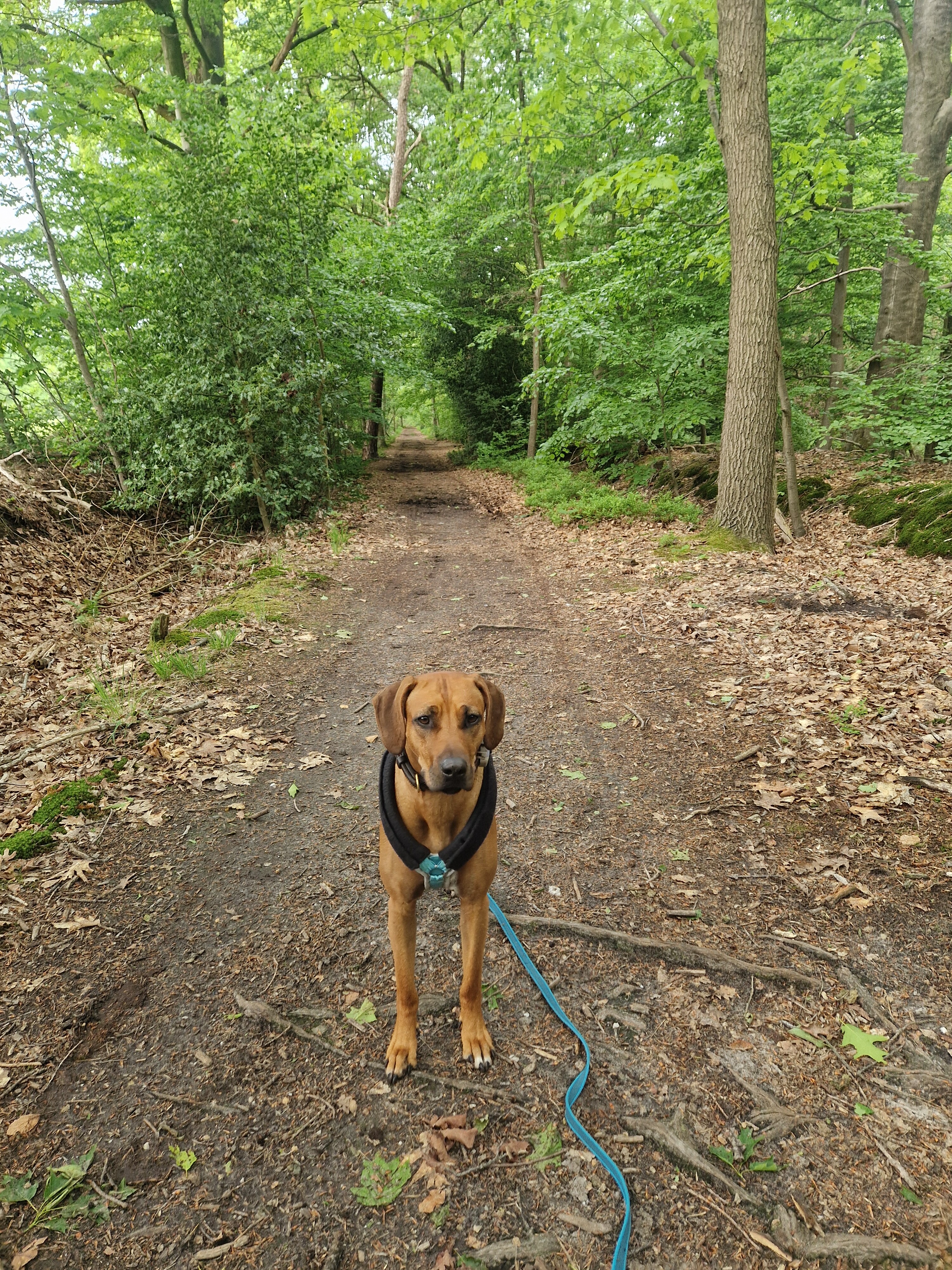
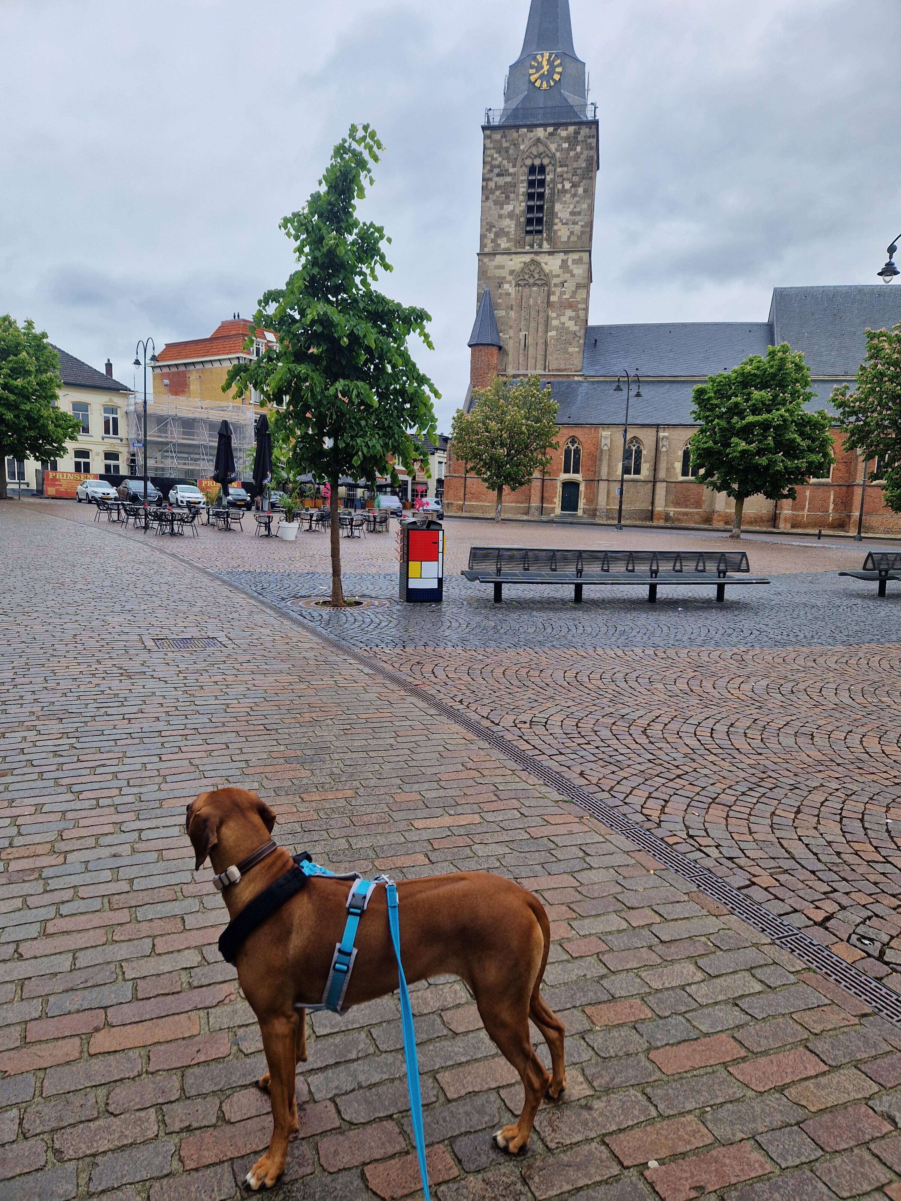
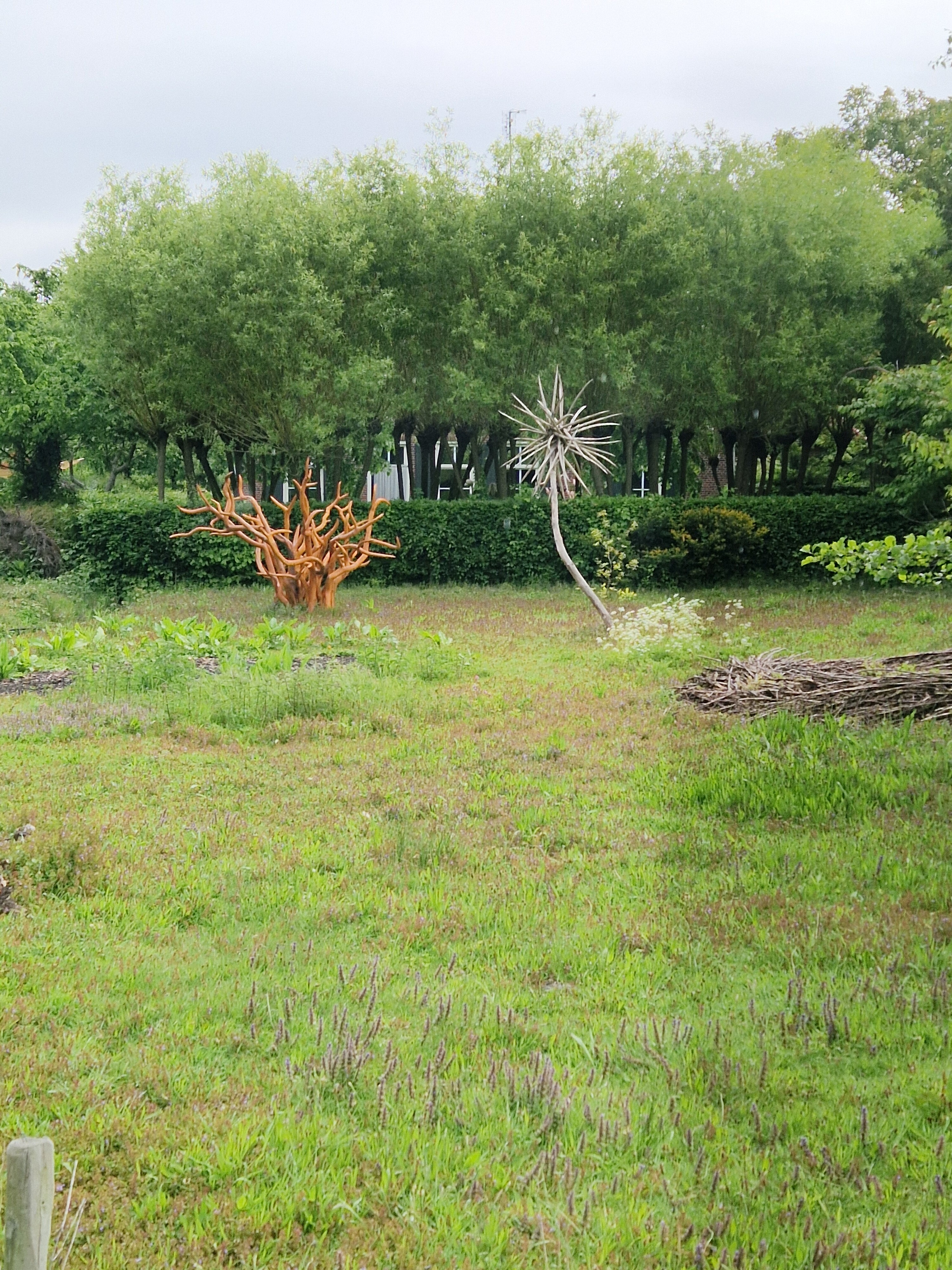
#2. Steengroeve - Winterswijk · Scholtenpad etappe 5
Winterswijk,Winterswijk Woold,Winterswijk Miste,Winterswijk Kotten,Winterswijk Henxel
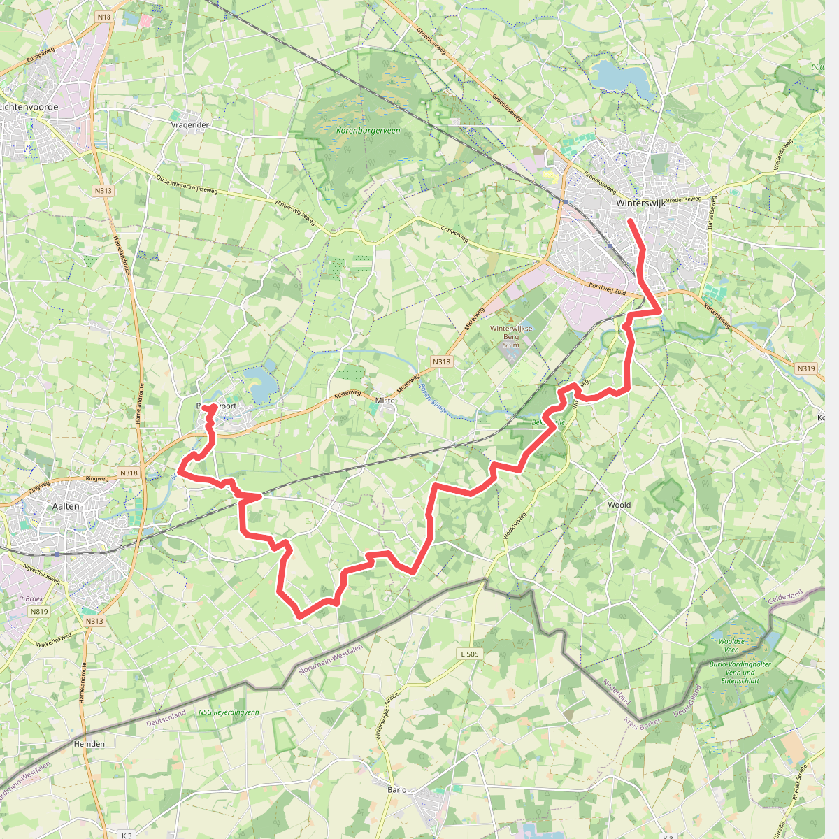
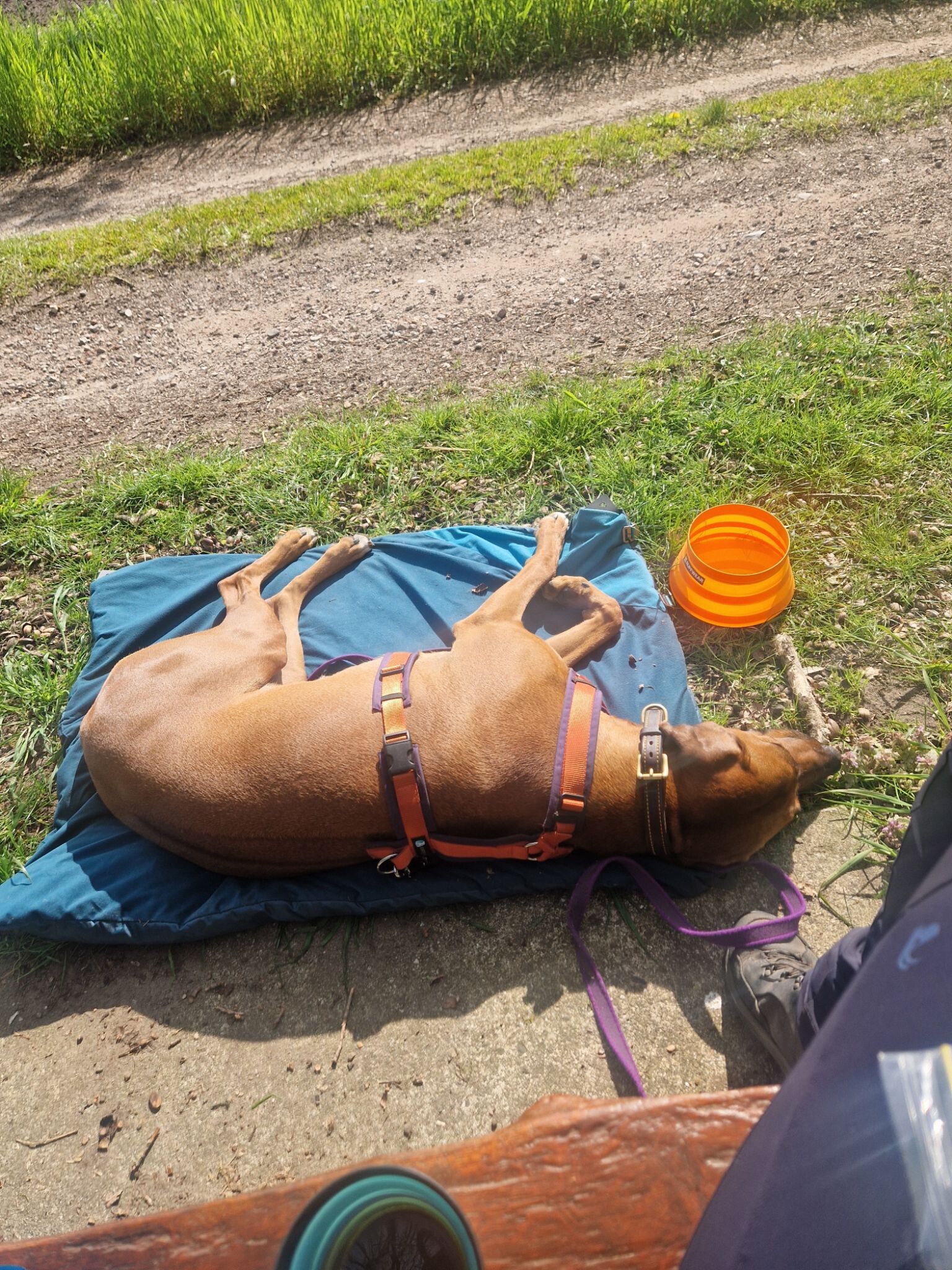
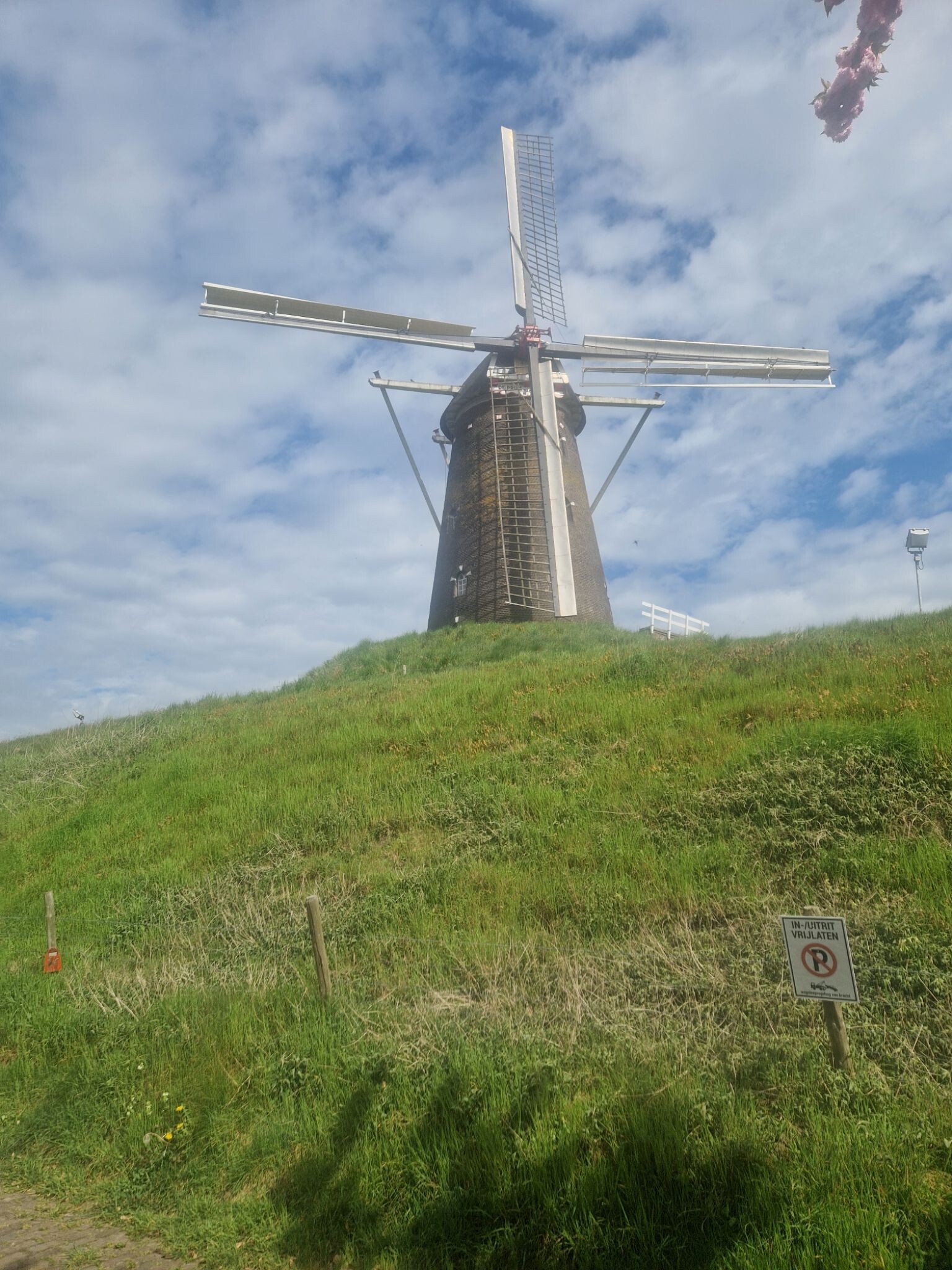
#3. Winterswijk - Bredevoort · Scholtenpad etappe 1
Bredevoort,Aalten,Winterswijk Miste,Winterswijk Woold,Winterswijk
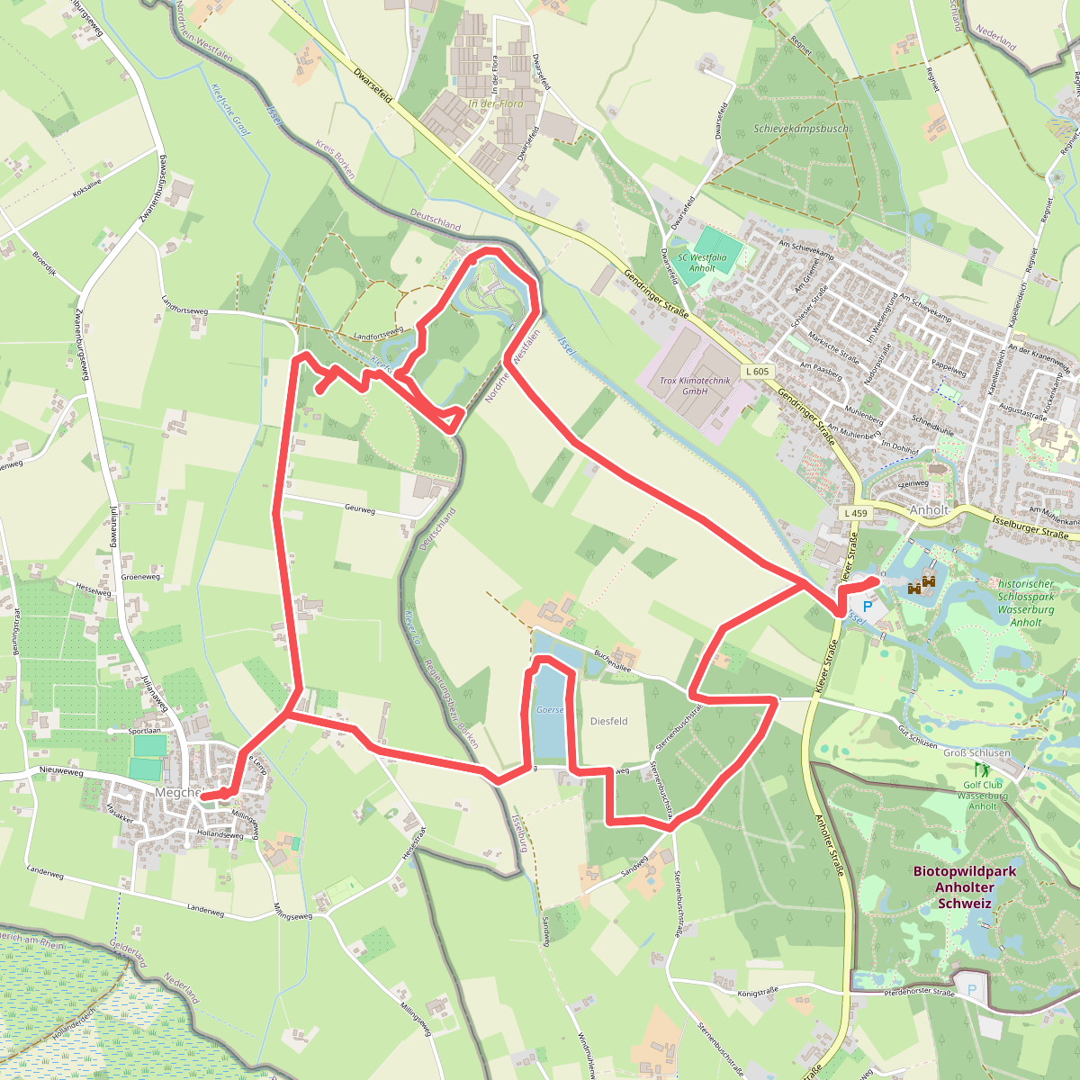
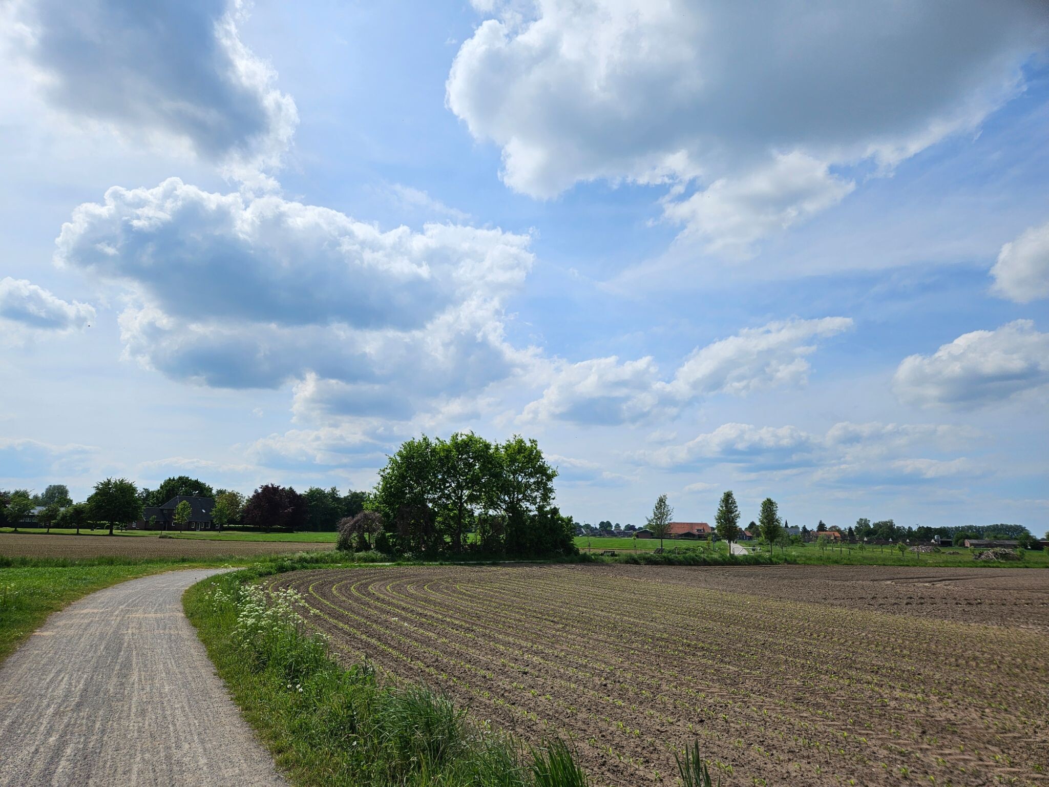
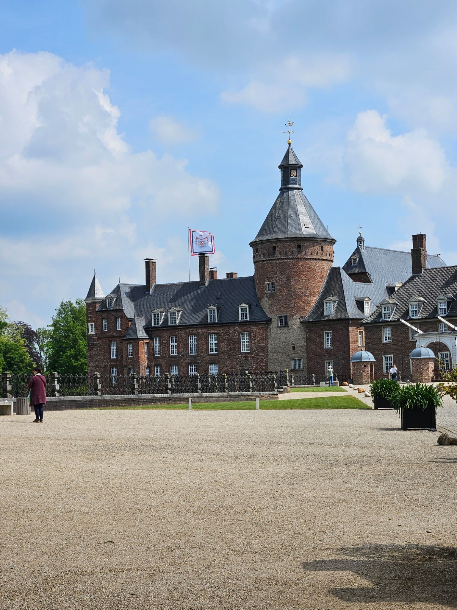
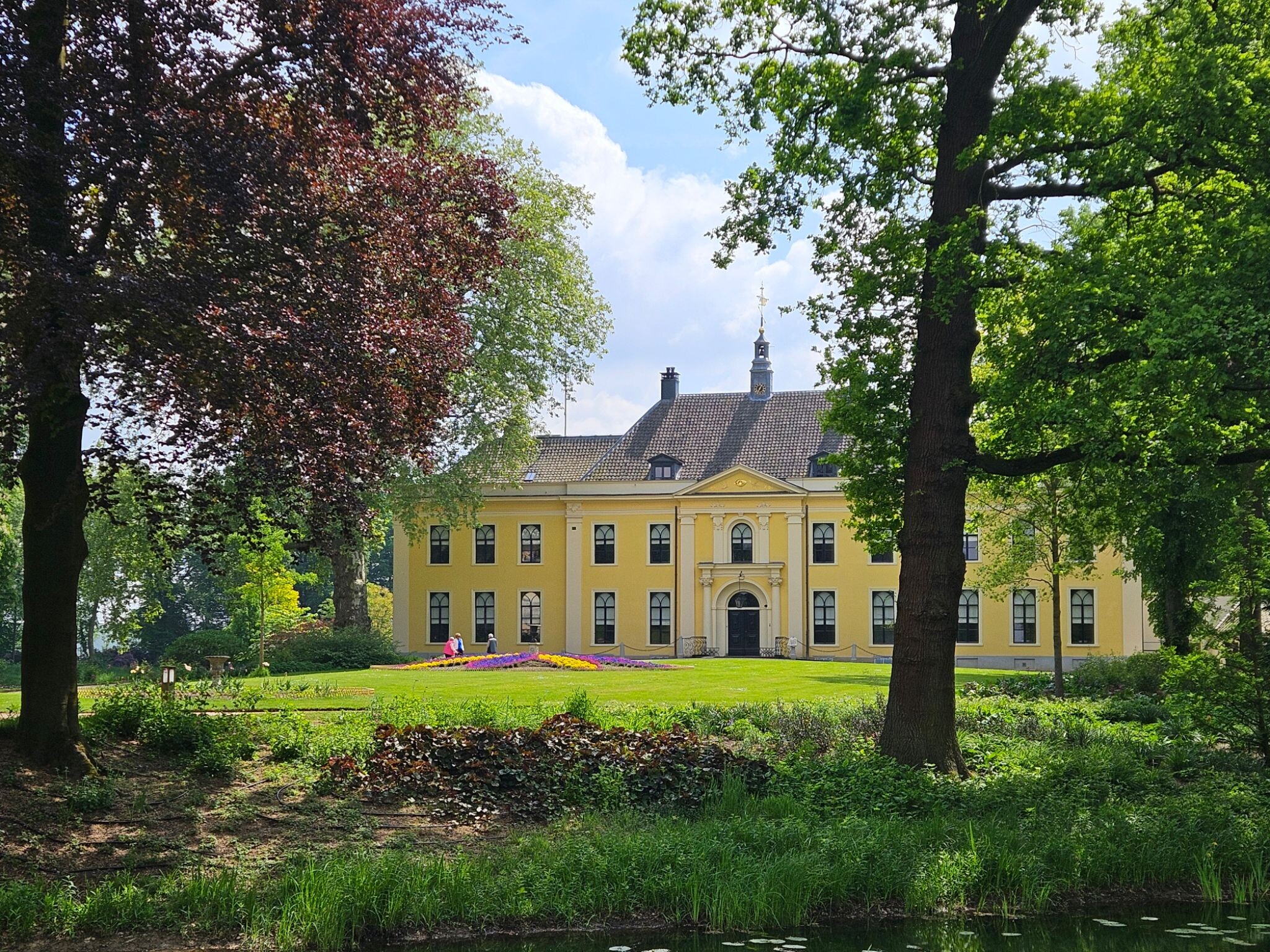
#4. Mooi Achterhoek kort: Megchelen, Kasteel Landfort en Wasserburcht Anholt
Mooie afwisselende wandeling deels in Nederland en deels in Duitsland
Megchelen,Isselburg
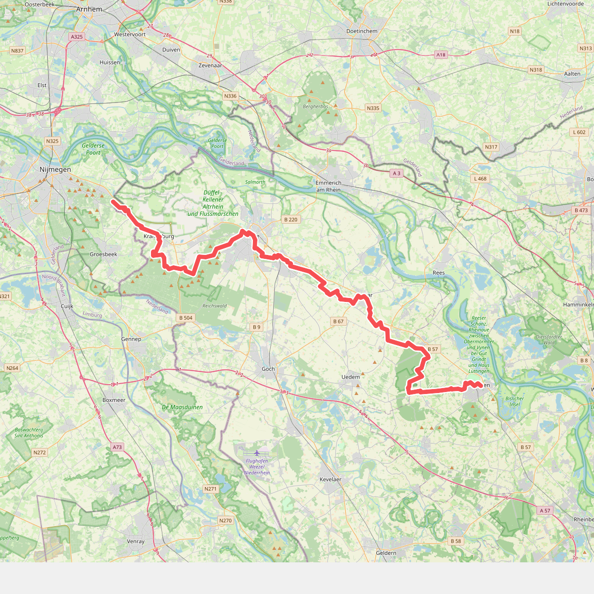

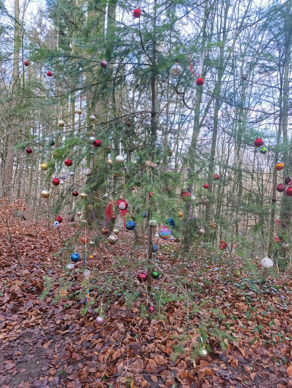
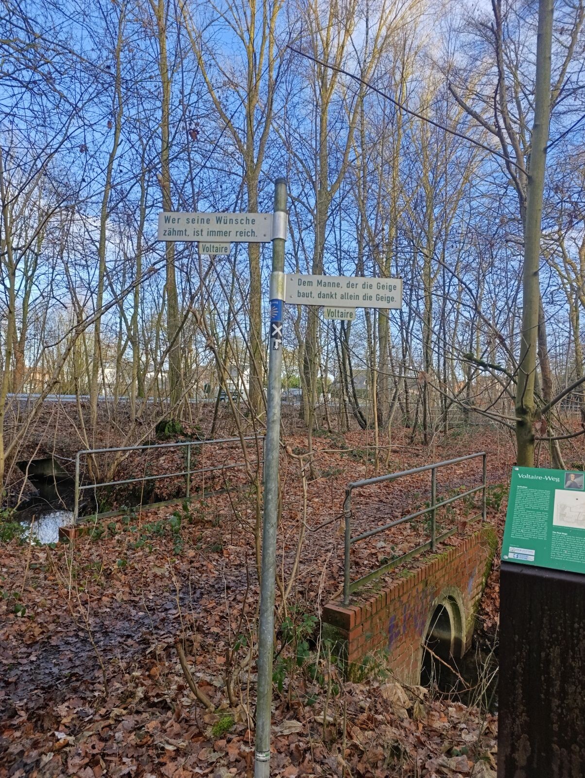
#5. Romeinse Limespad Nijmegen/Berg en Dal - Xanten · Romeinse Limespad etappe 19
Groesbeek,Berg en Dal
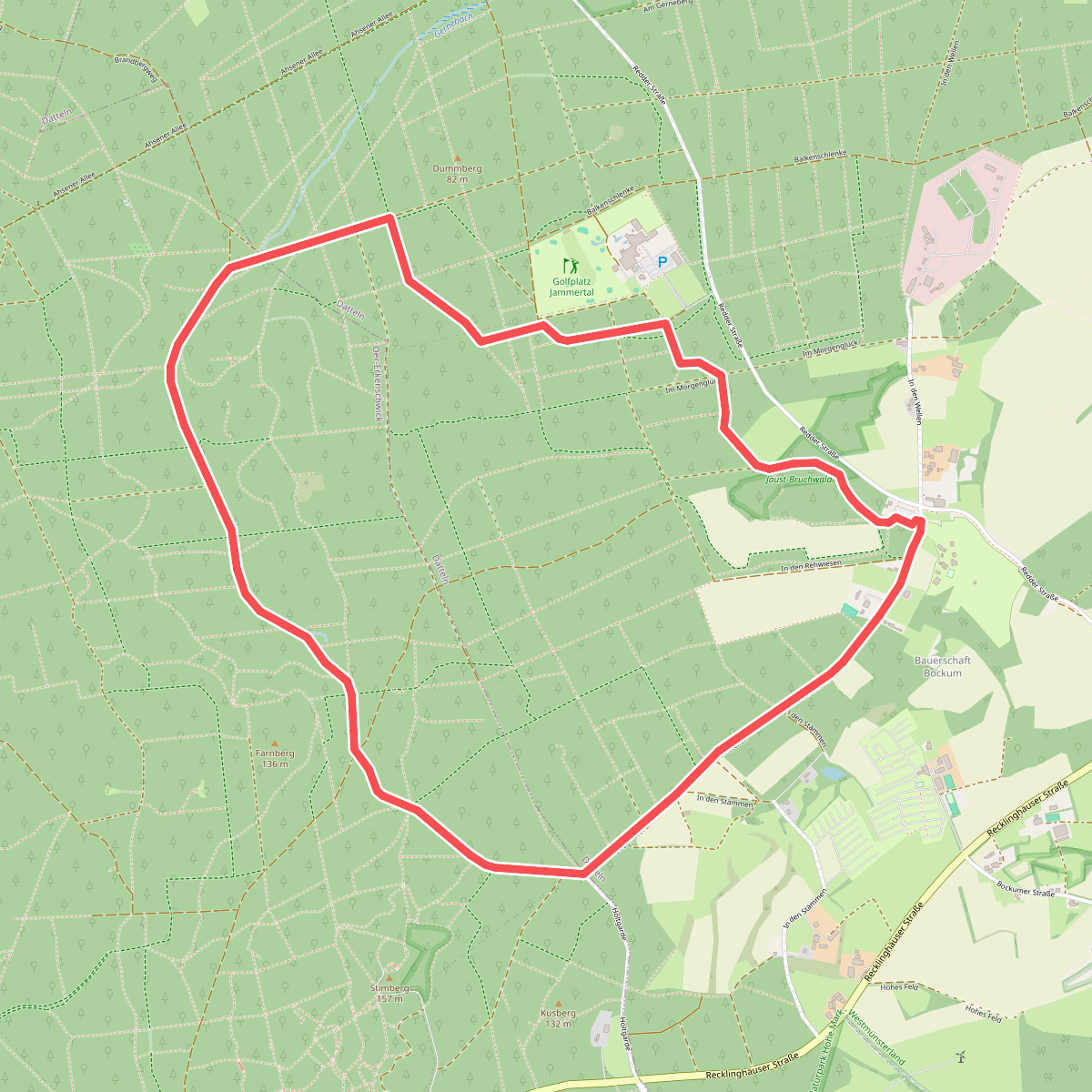
#6. A3 Rundweg Katenkreuz
Oer-Erkenschwick,Datteln
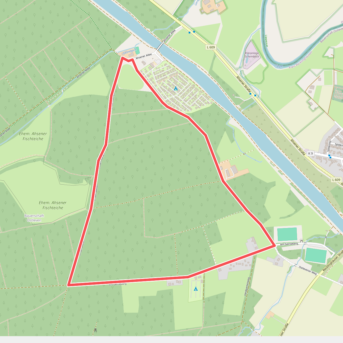
#7. A5 Rundweg Sportplatz Ahsen
Datteln
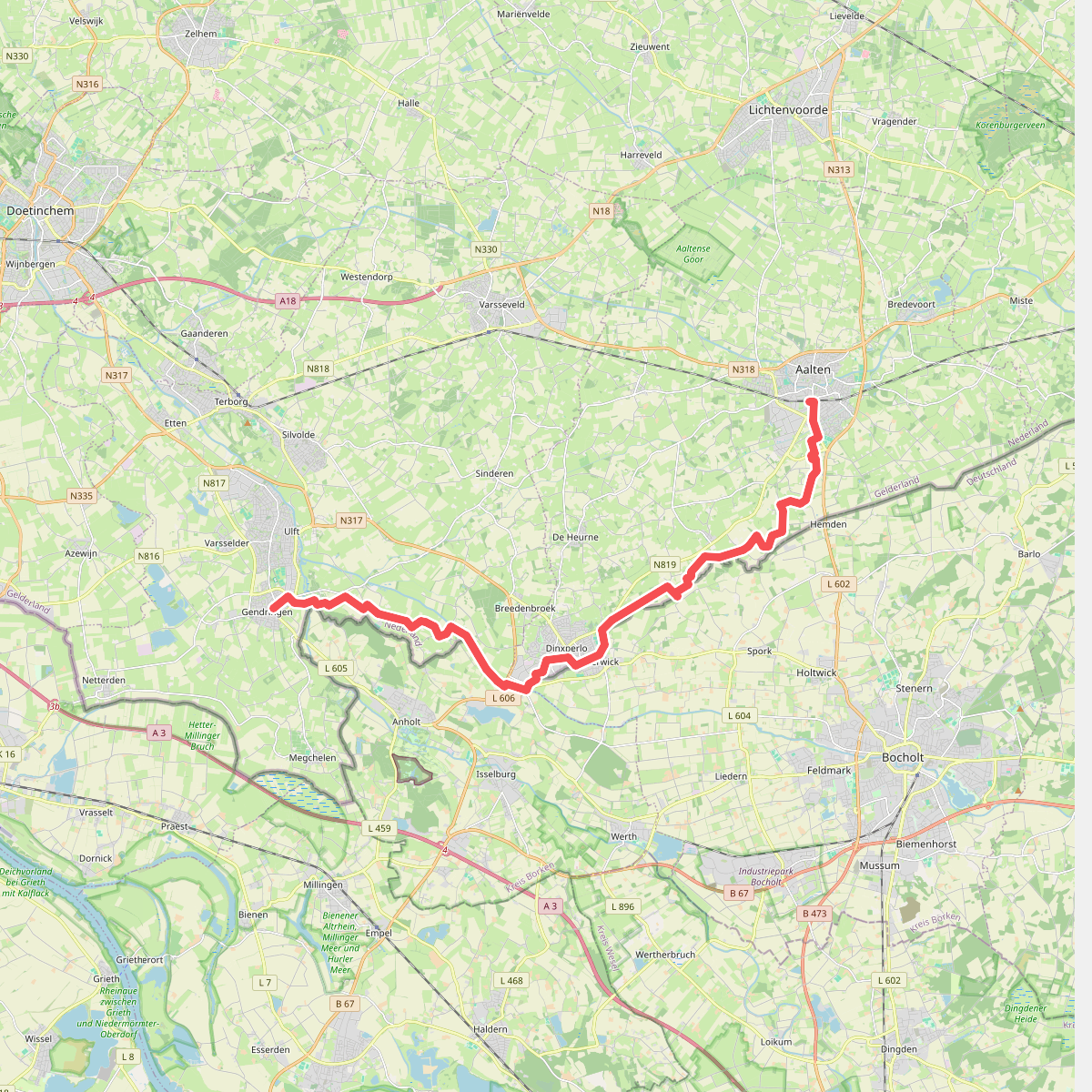
#8. Aalten naar Gendringen - "GrenzenLos" · NederRandpad etappe 17
Gendringen,Voorst,Ulft,Dinxperlo,Aalten
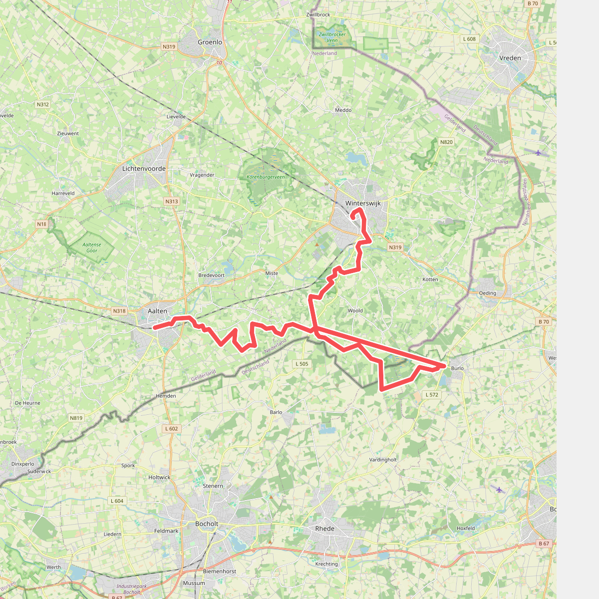
#9. Aalten - Winterswijk · Ludgerpad etappe 4
Aalten,Winterswijk Miste,Winterswijk Woold,Winterswijk
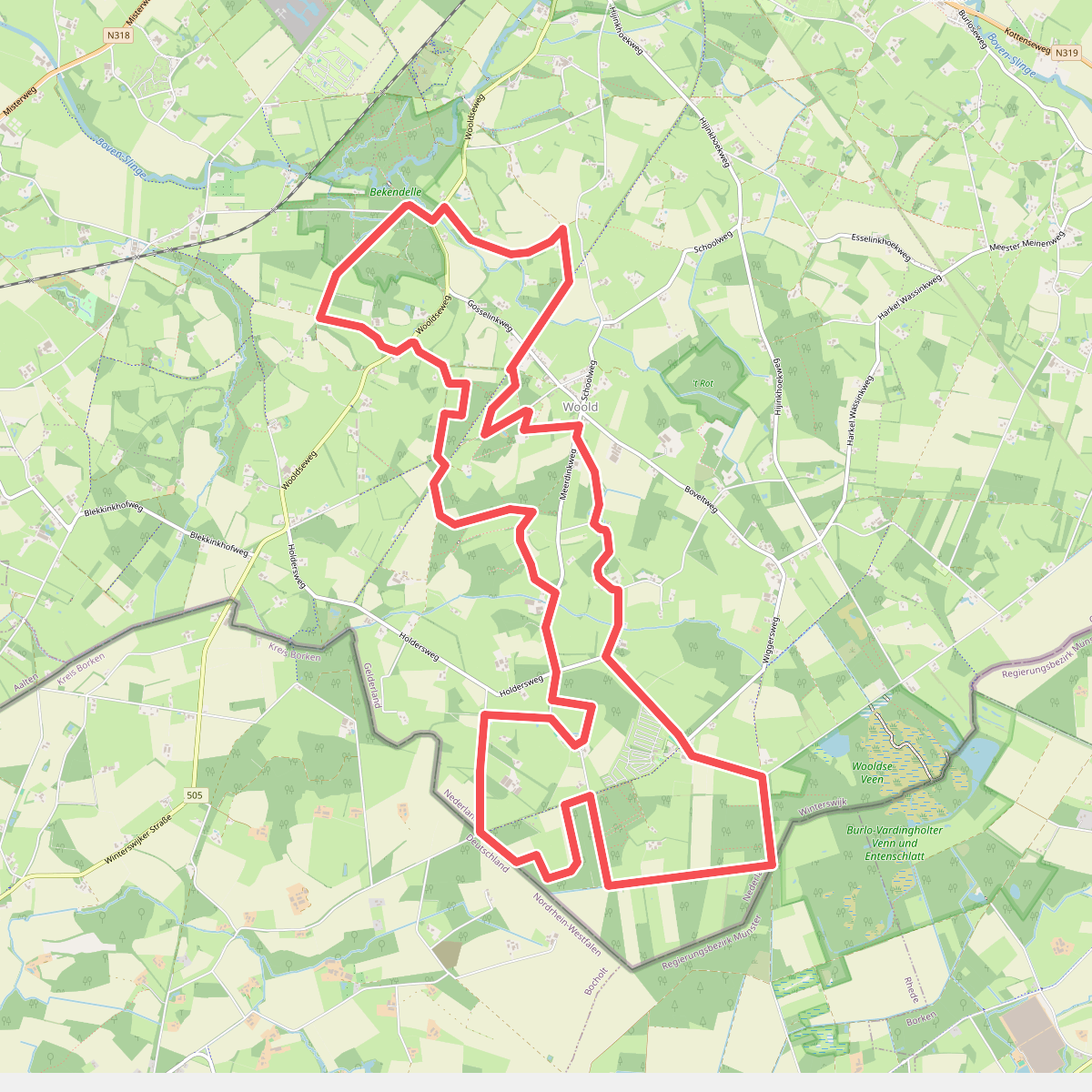
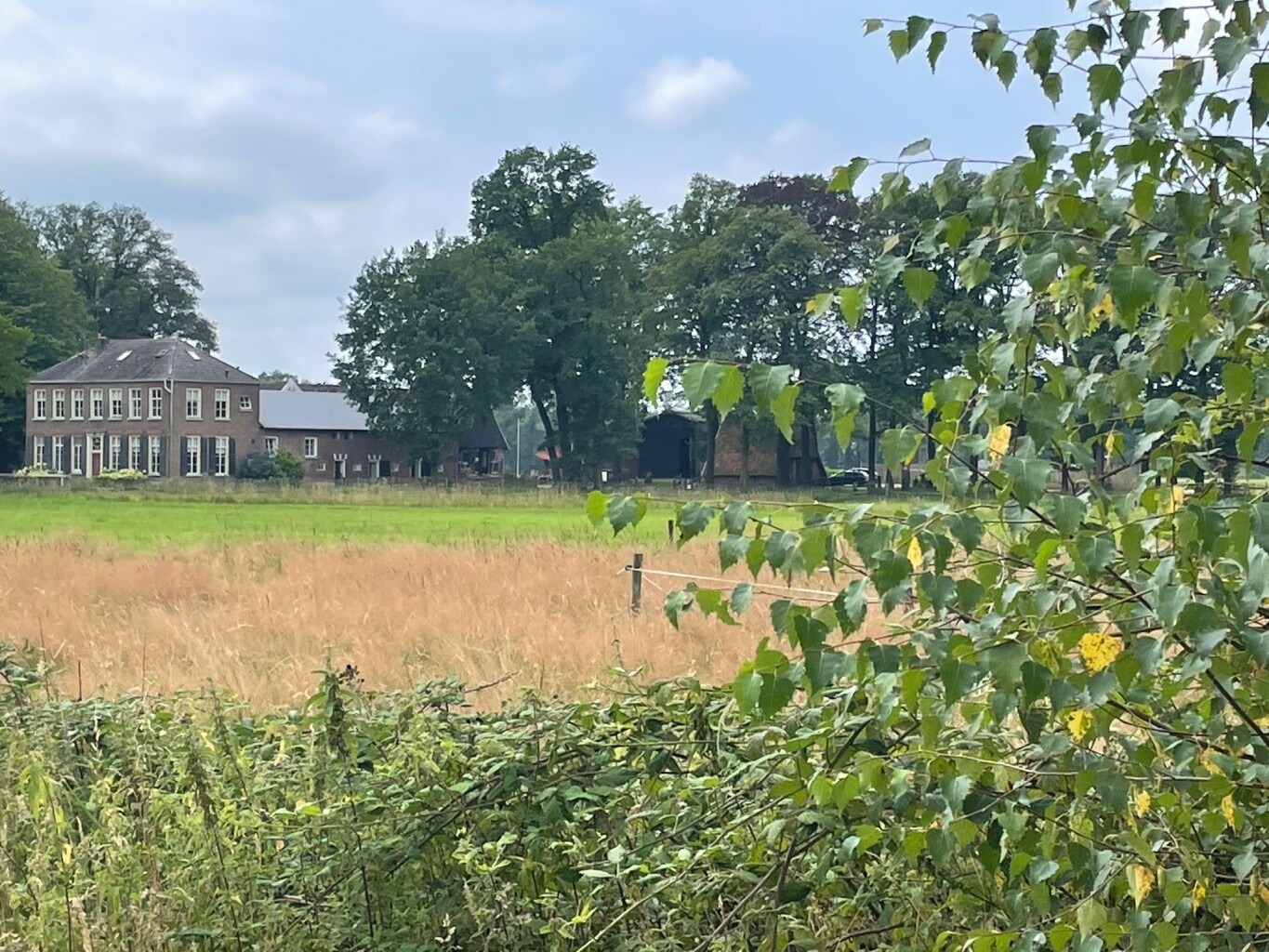
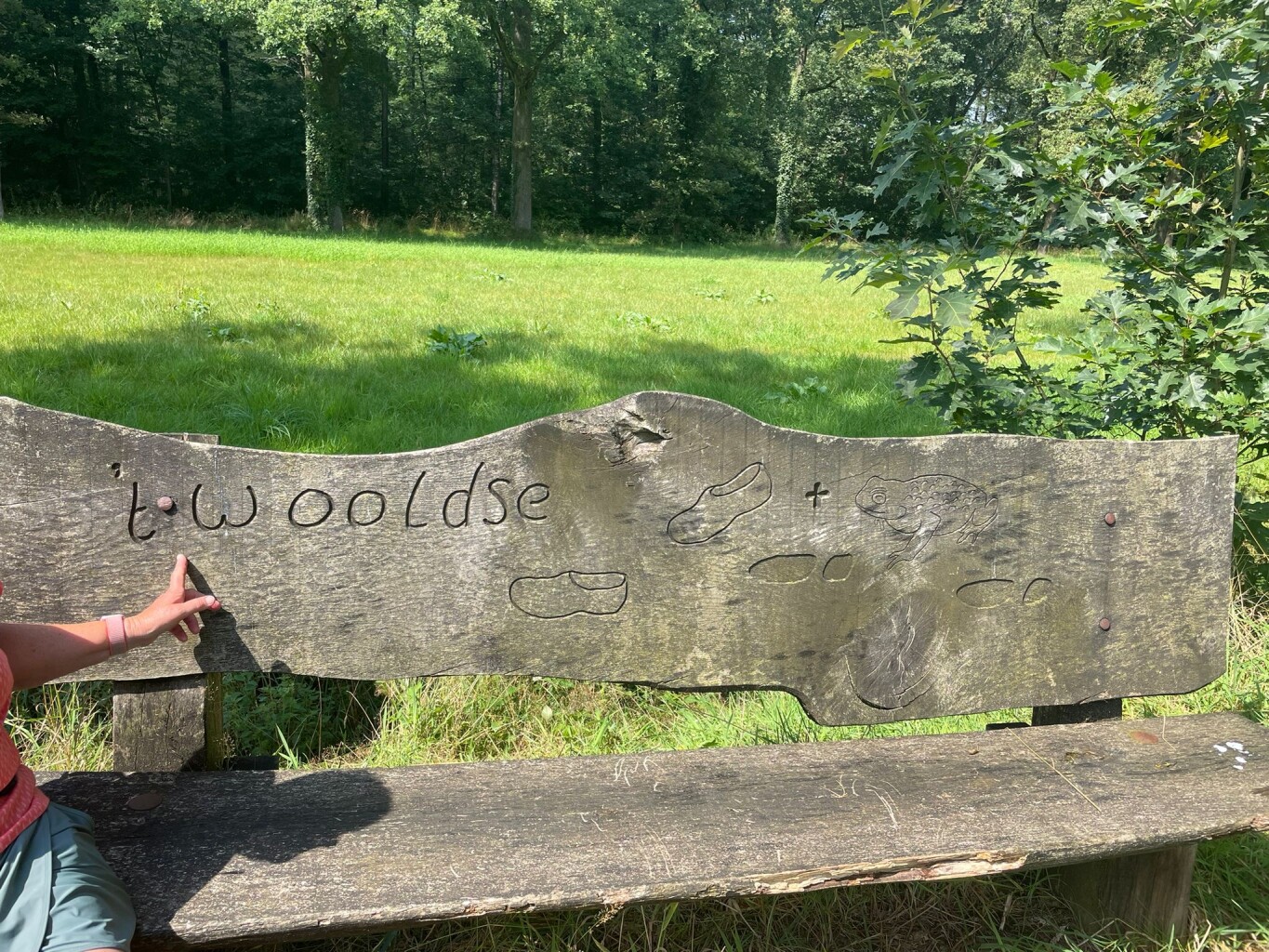
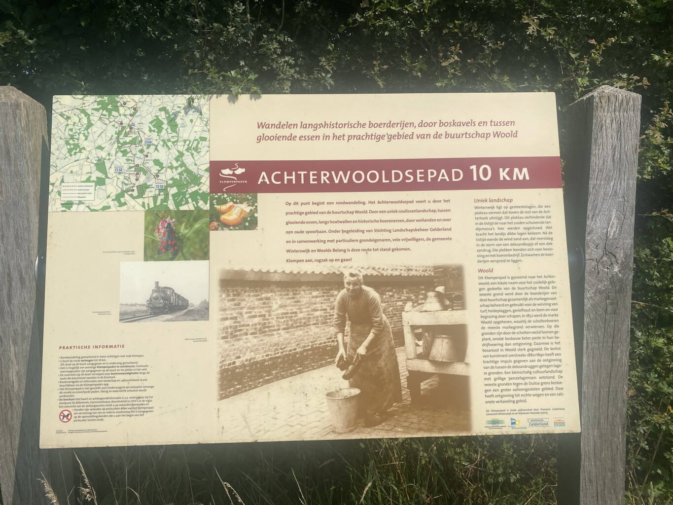
#10. Achterwooldse pad Verlenging
Winterswijk Woold,Winterswijk Miste
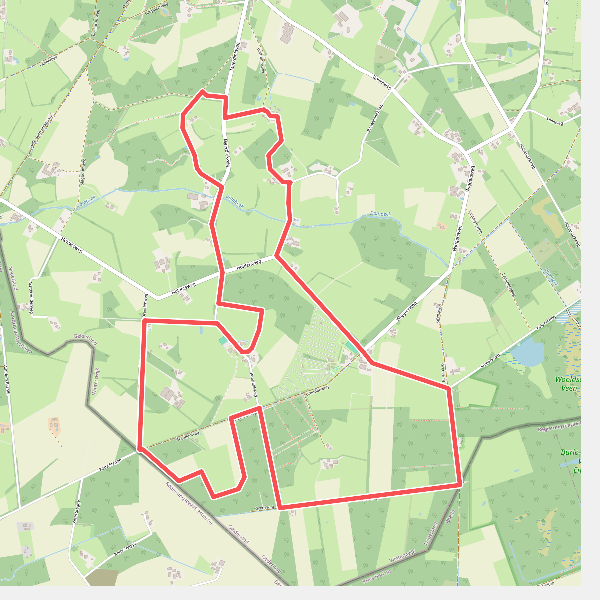
#11. Achterwooldsepad Zuid
Winterswijk Woold
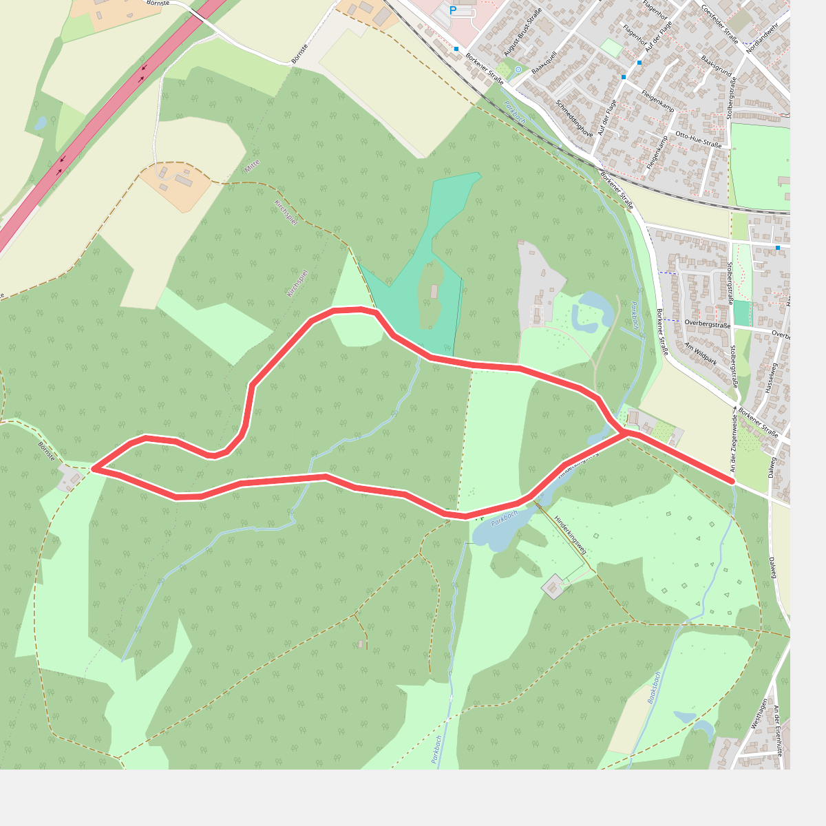
#12. An der Ziegenweide Rundweg A2
Dülmen



