

The best hiking routes in Naturpark Bourtanger Moor - Veenland
Discover the best walks in Naturpark Bourtanger Moor - Veenland. 14 routes on the map, with descriptions, photos and GPX.
About Naturpark Bourtanger Moor - Veenland
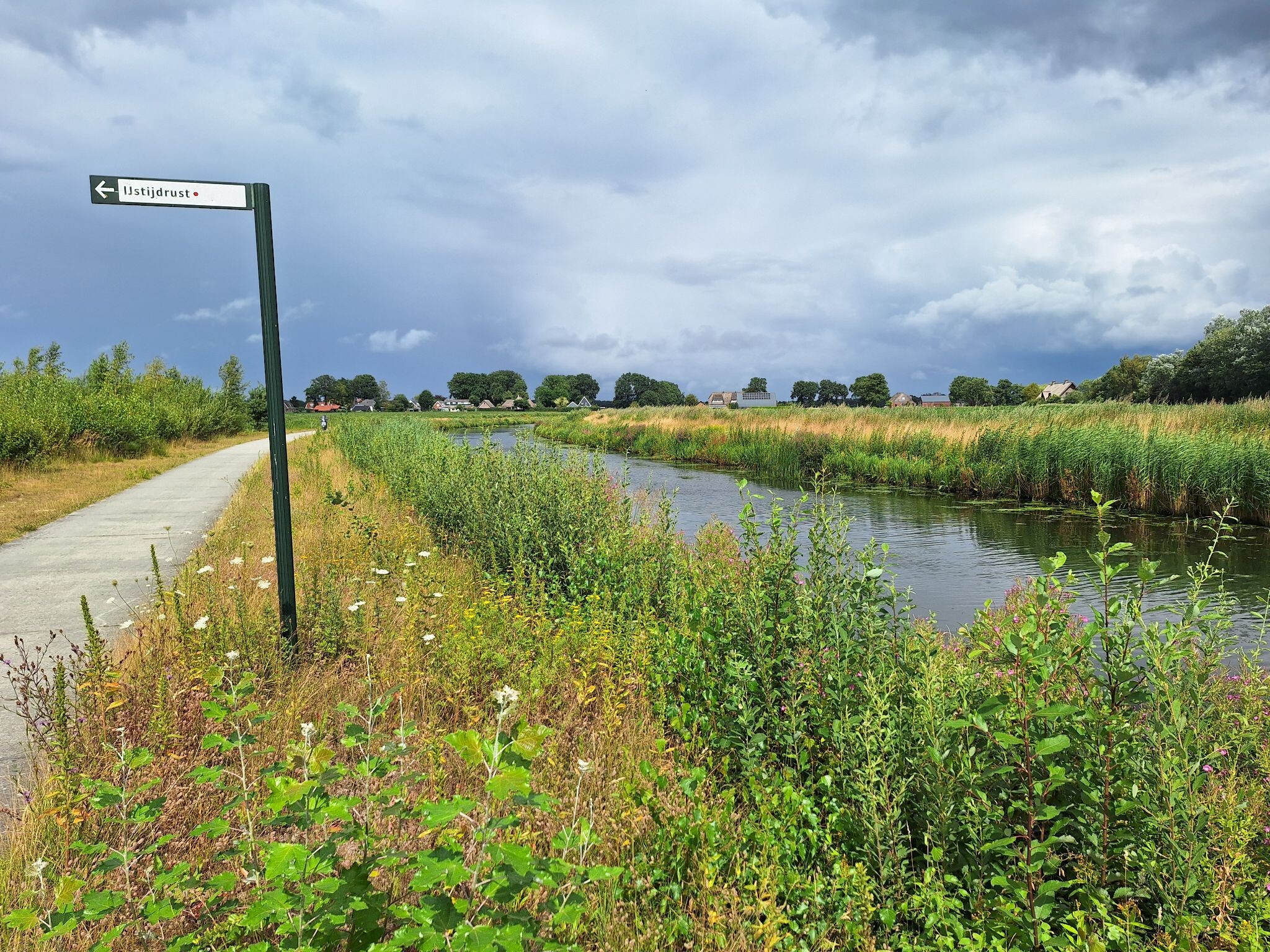
Naturpark Bourtanger Moor - Veenland, straddling the German-Dutch border, is a flat landscape dominated by the remnants of a vast raised bog. Walkers should expect a terrain shaped entirely by historical peat extraction, where straight drainage canals, dark water ditches, and birch woods cut through the damp ground. Unlike natural hilly forests, this park is defined by its level, open vistas and highly structured, human-altered geography.
Read more
About Naturpark Bourtanger Moor - Veenland
Naturpark Bourtanger Moor - Veenland, straddling the German-Dutch border, is a flat landscape dominated by the remnants of a vast raised bog. Walkers should expect a terrain shaped entirely by historical peat extraction, where straight drainage canals, dark water ditches, and birch woods cut through the damp ground. Unlike natural hilly forests, this park is defined by its level, open vistas and highly structured, human-altered geography.
Read moreNaturpark Bourtanger Moor - Veenland, straddling the German-Dutch border, is a flat landscape dominated by the remnants of a vast raised bog. Walkers should expect a terrain shaped entirely by historical peat extraction, where straight drainage canals, dark water ditches, and birch woods cut through the damp ground. Unlike natural hilly forests, this park is defined by its level, open vistas and highly structured, human-altered geography.
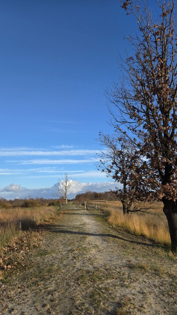
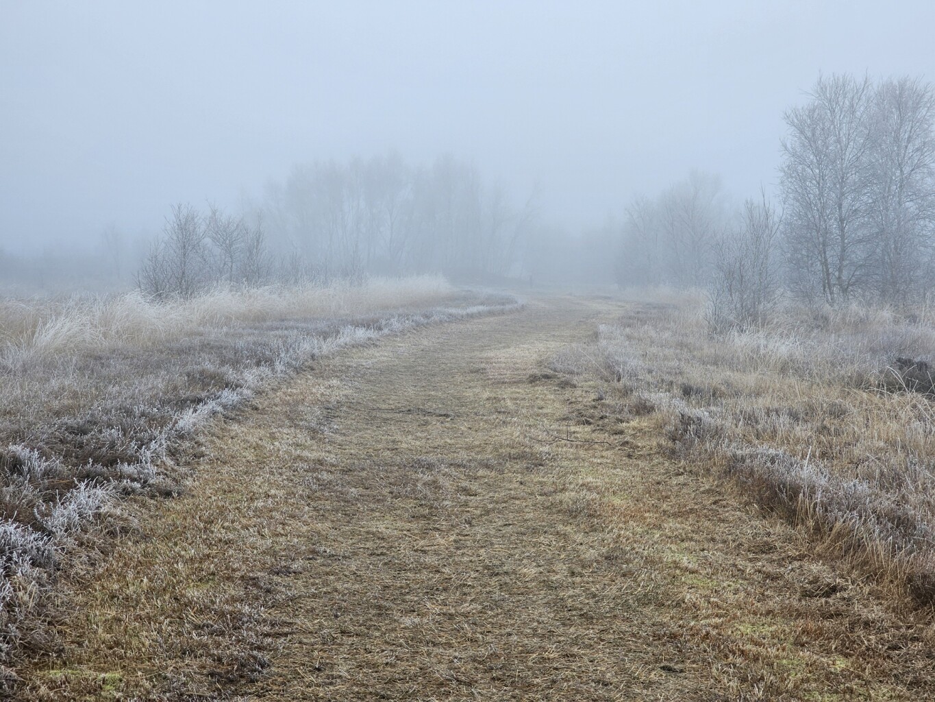
Underfoot, the trails vary significantly depending on where you enter. You will encounter a mix of firm gravel tracks, grassy dikes, and soft, spongy peat paths. In the restored wetland sections, wooden boardwalks allow you to cross the boggy areas where cotton grass blooms white in May. The vegetation is characterized by heather, low shrubs, and colonizing birch trees, rather than dense, ancient woodland.
This is a quiet, working landscape where active nature restoration coexists with agriculture. While the central bog conservation zones offer still waters and birdwatching opportunities, other paths run alongside active peat-cutting sites or straight agricultural fields. It is a place for those who appreciate industrial-ecological history and flat, open walking rather than varied topography or deep forest canopy.
Hiking routes in Naturpark Bourtanger Moor - Veenland (14)
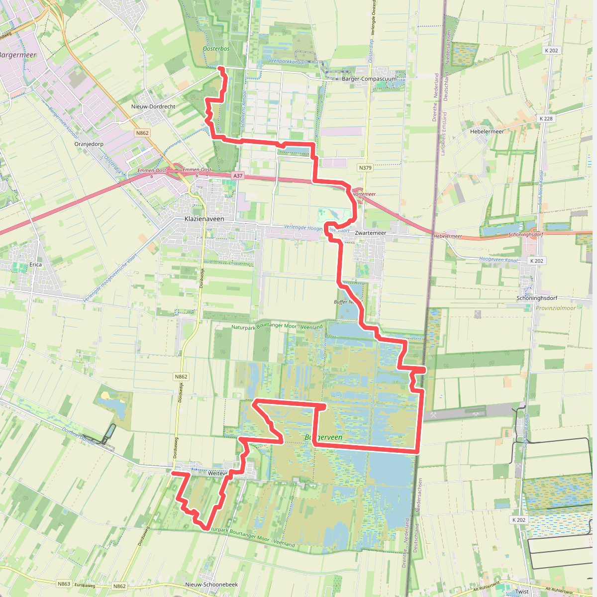
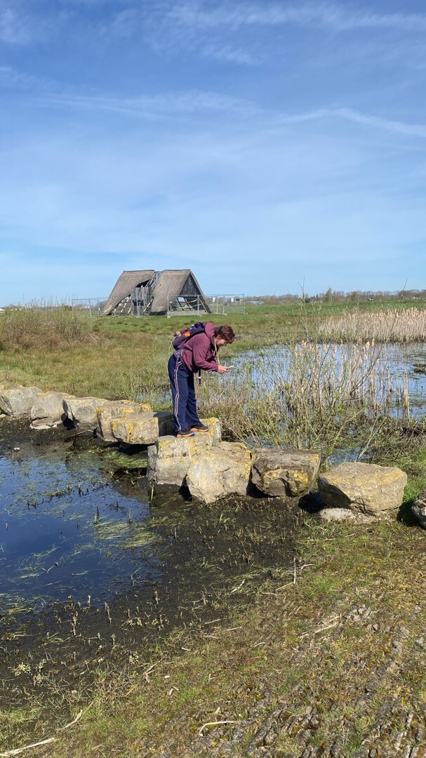
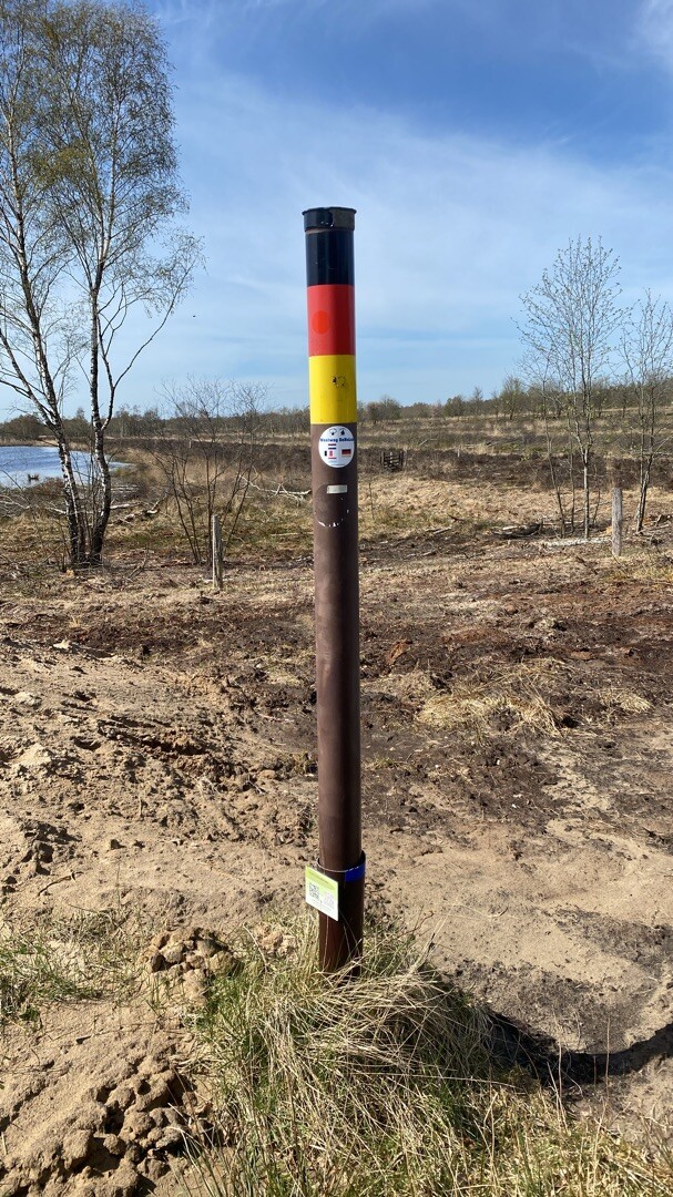
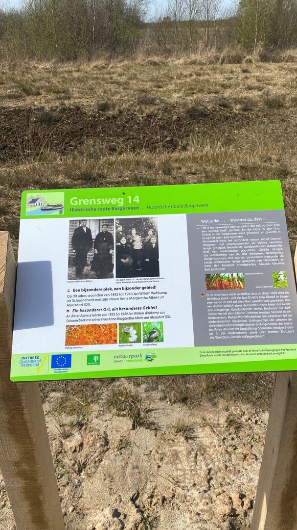
#1. Nieuw-Dordrecht - Weiteveen · Noaberpad etappe 7
Klazienaveen-Noord,Klazienaveen,Barger-Compascuum,Zwartemeer,Twist,Weiteveen
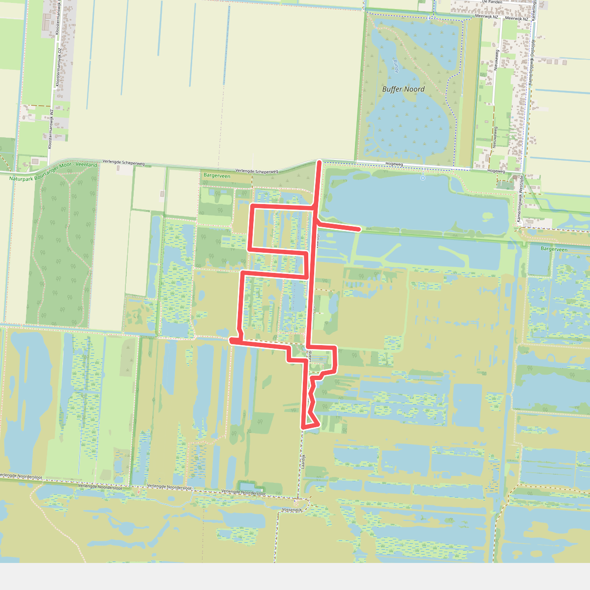

#2. Vogelrondje Bargerveen
Zwartemeer,Klazienaveen
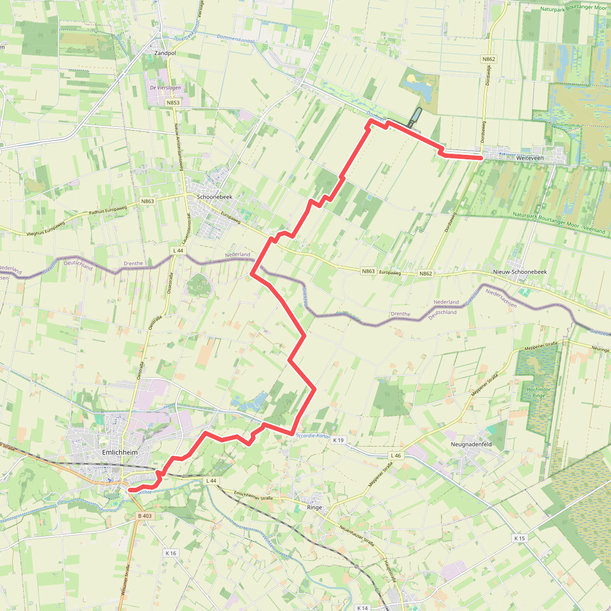
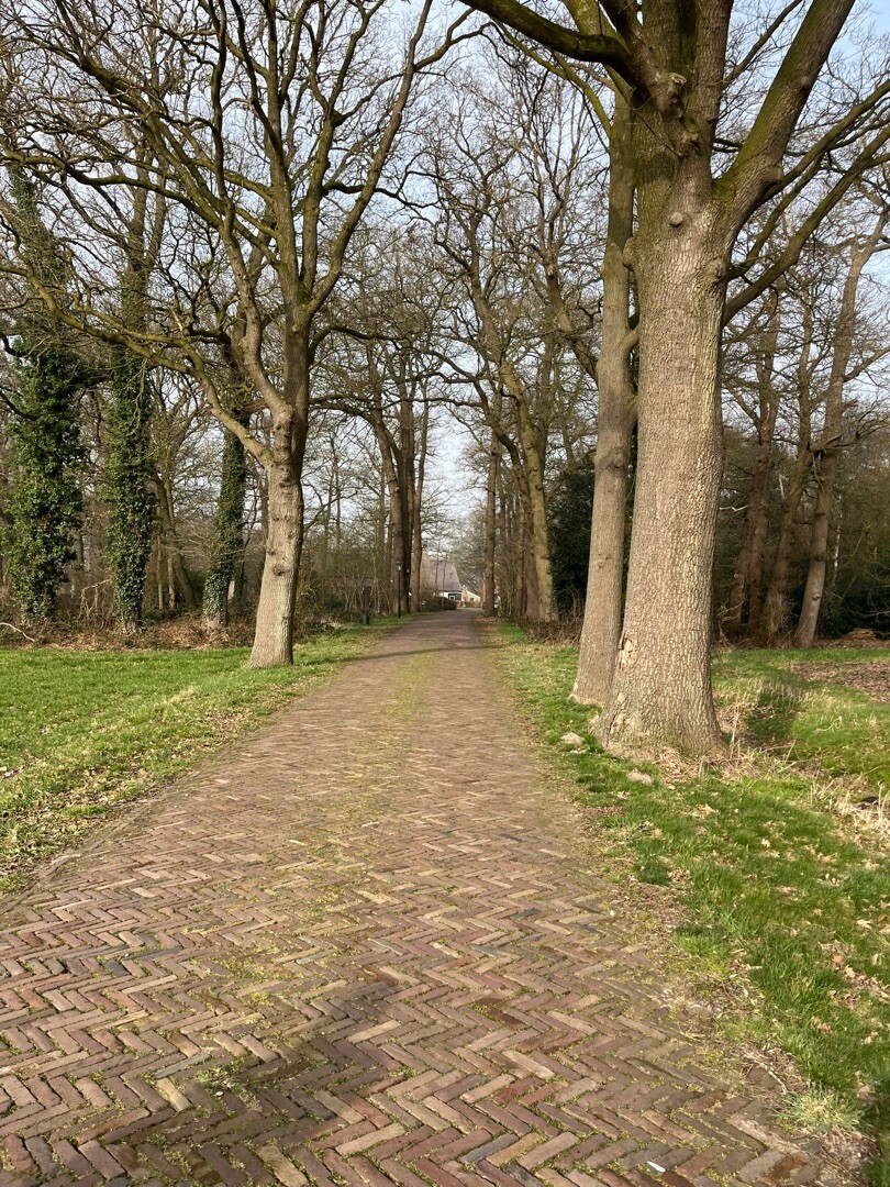
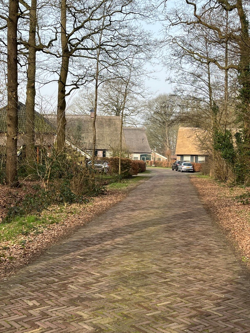
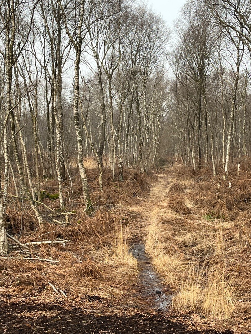
#3. Weiteveen - Emlichheim · Noaberpad etappe 8
Schoonebeek,Erica,Weiteveen
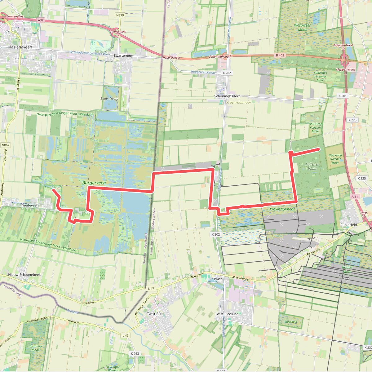
#4. Abzw. Rühlerfeld - Abzw. Weiteveen · Hondsrugpad/Hunenweg etappe 11
Weiteveen
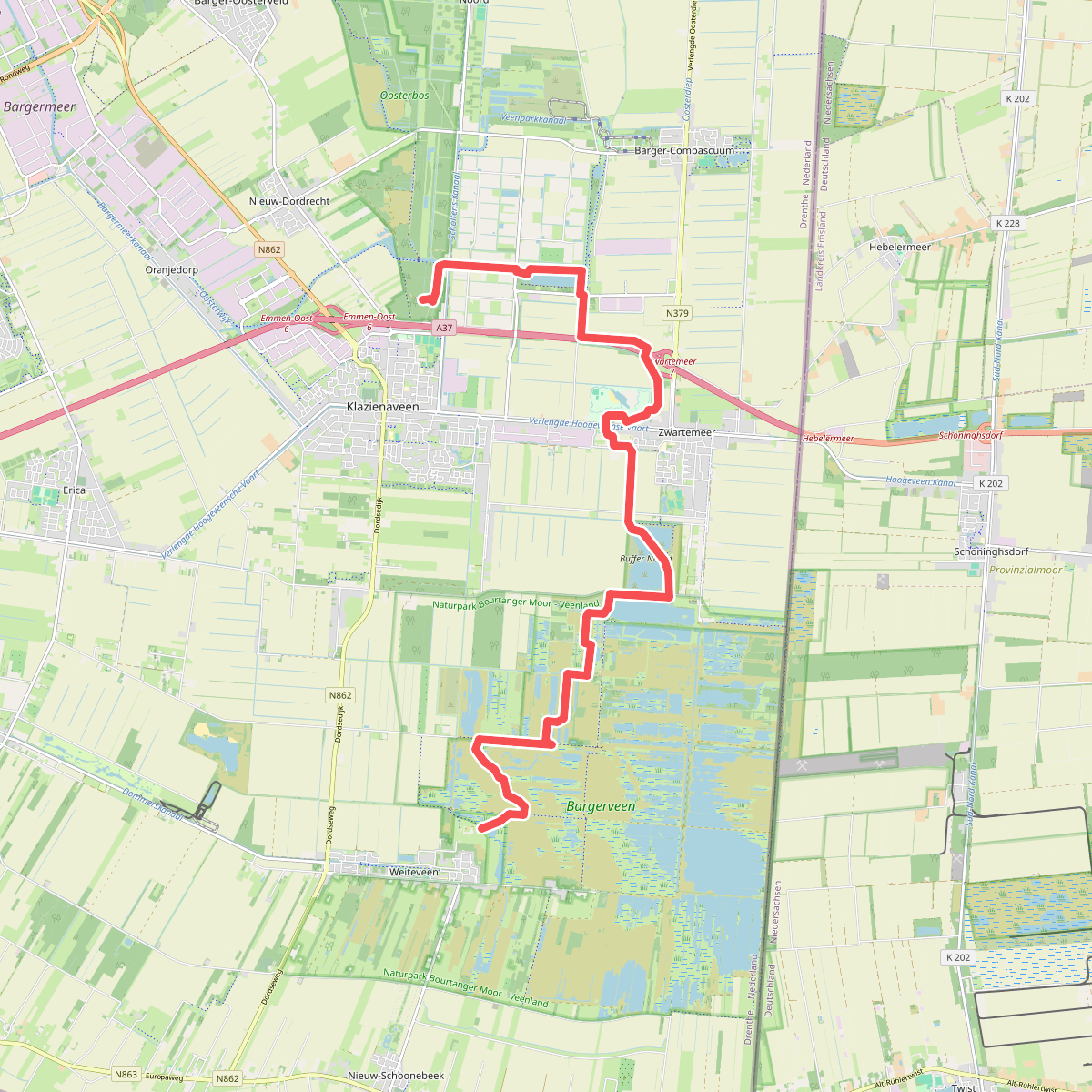
#5. Abzw. Weiteveen - Abzw. Klazienaveen · Hondsrugpad/Hunenweg etappe 12
Klazienaveen,Zwartemeer,Weiteveen
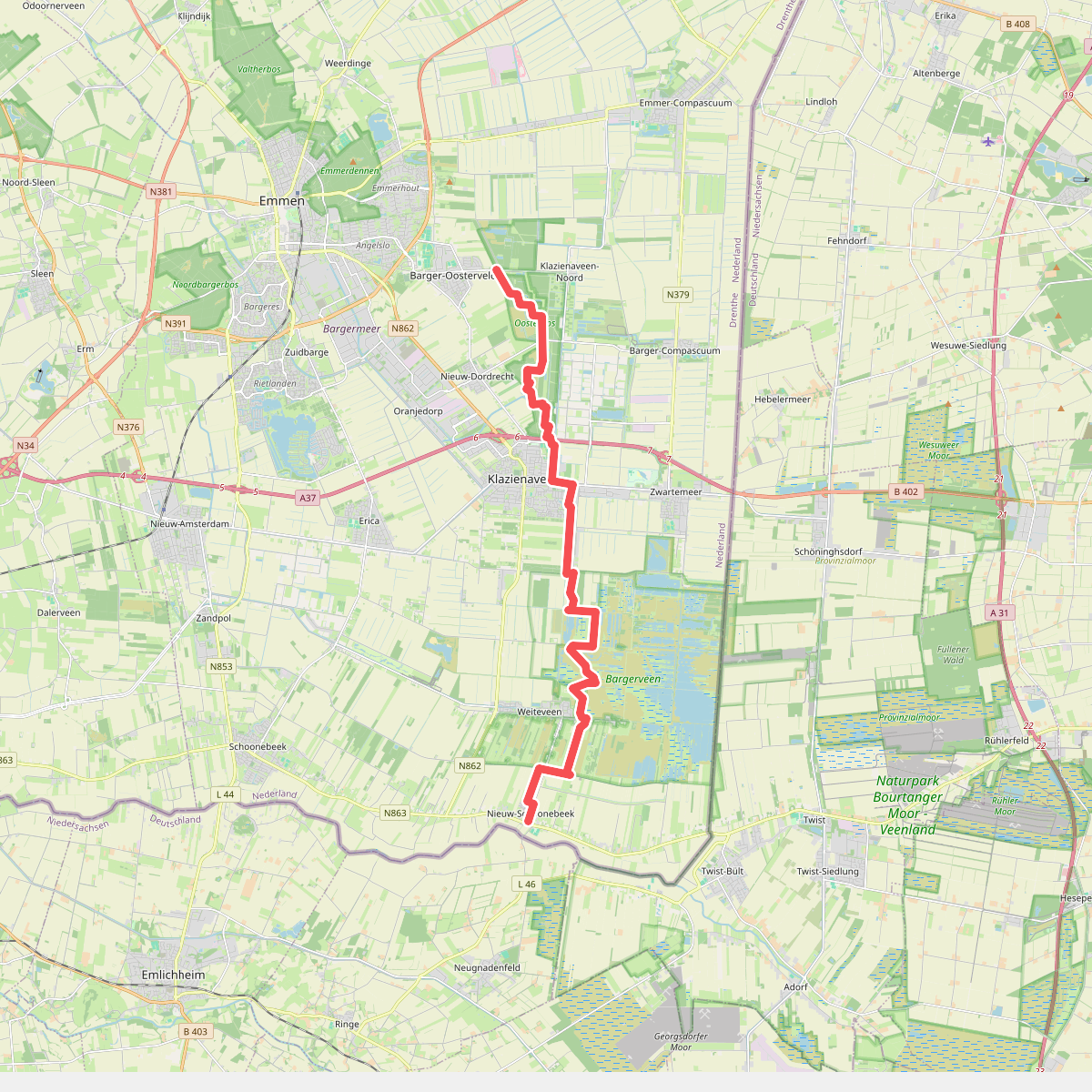
#6. Barger-Oosterveld naar Nieuw-Schoonebeek "Het moeras" · NederRandpad etappe 4
Nieuw-Schoonebeek,Weiteveen,Klazienaveen,Nieuw-Dordrecht,Klazienaveen-Noord,Emmen
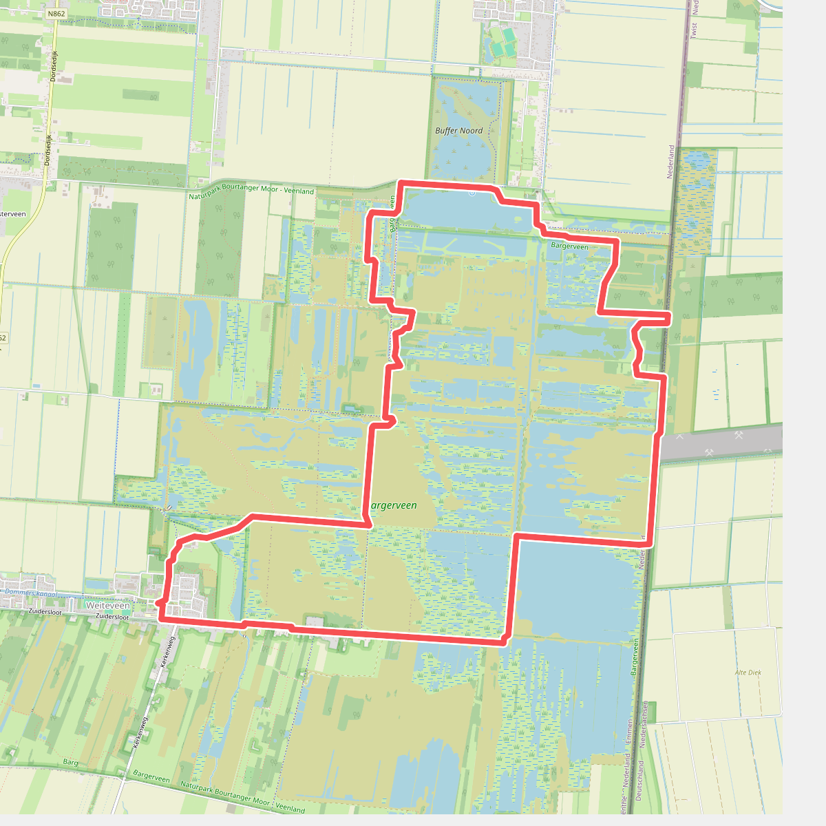
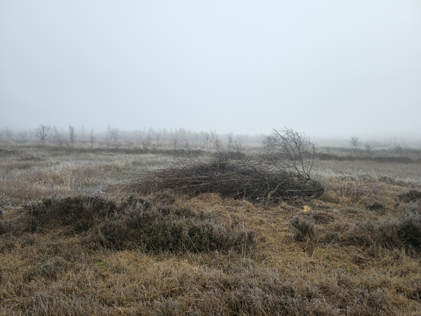
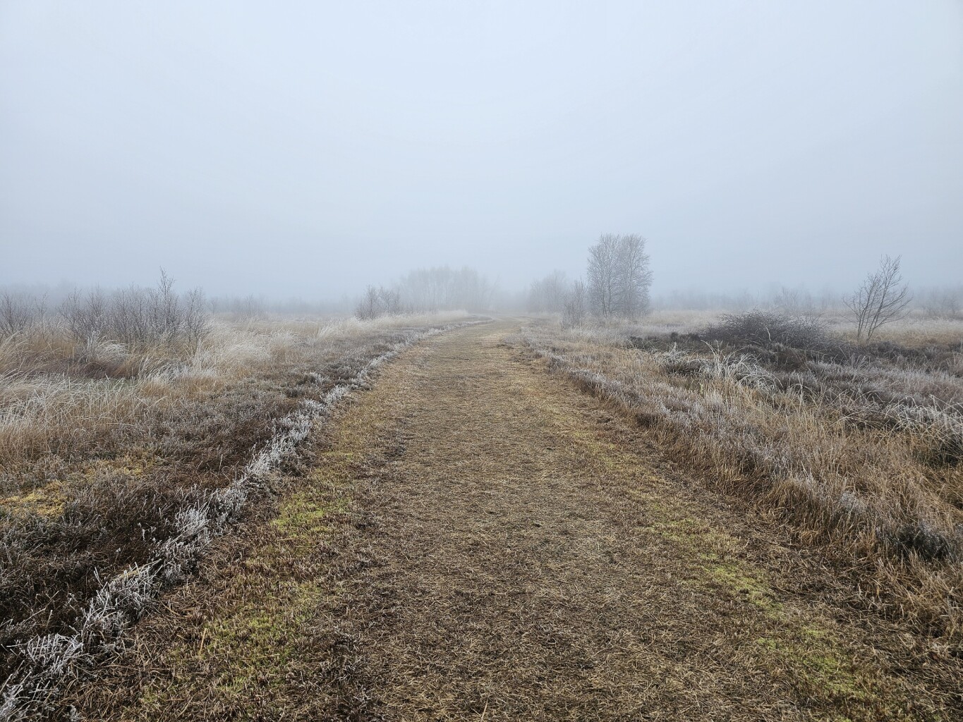
#7. Door het bargerveen
Zwartemeer,Weiteveen
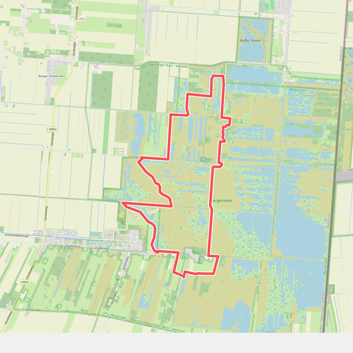
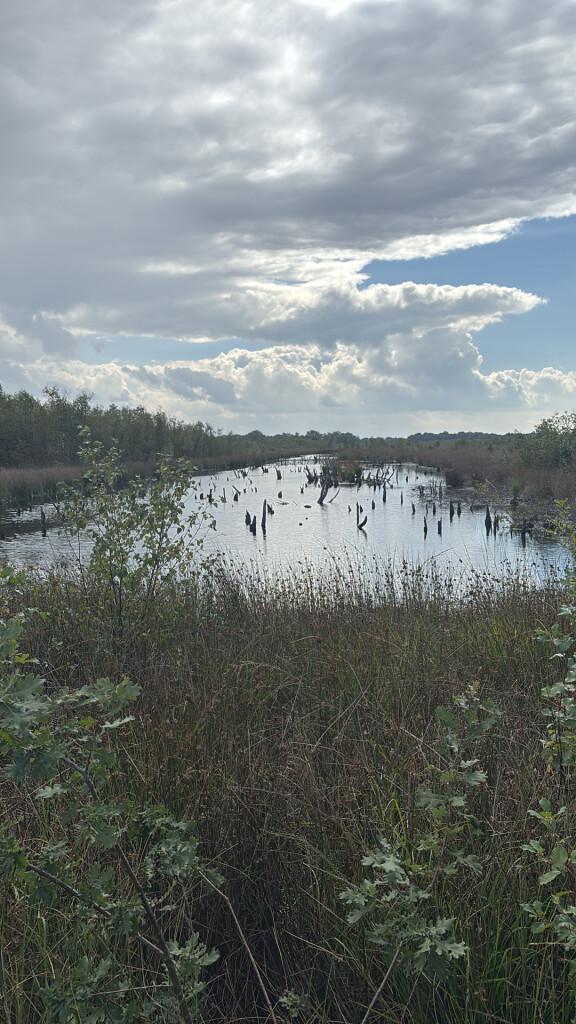
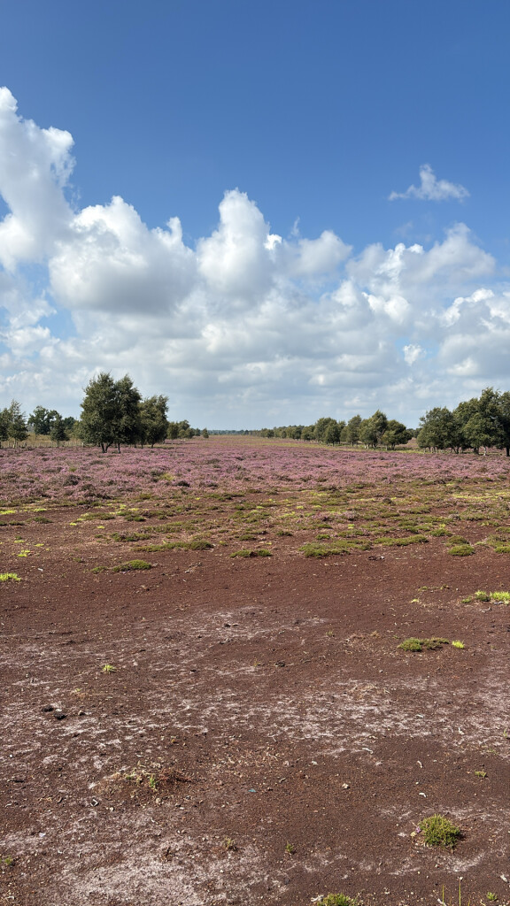
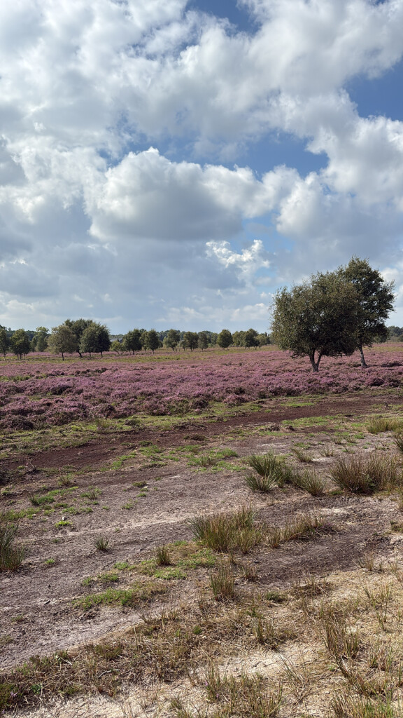
#8. Het Unieke Bargerveen
Weiteveen,Zwartemeer,Klazienaveen
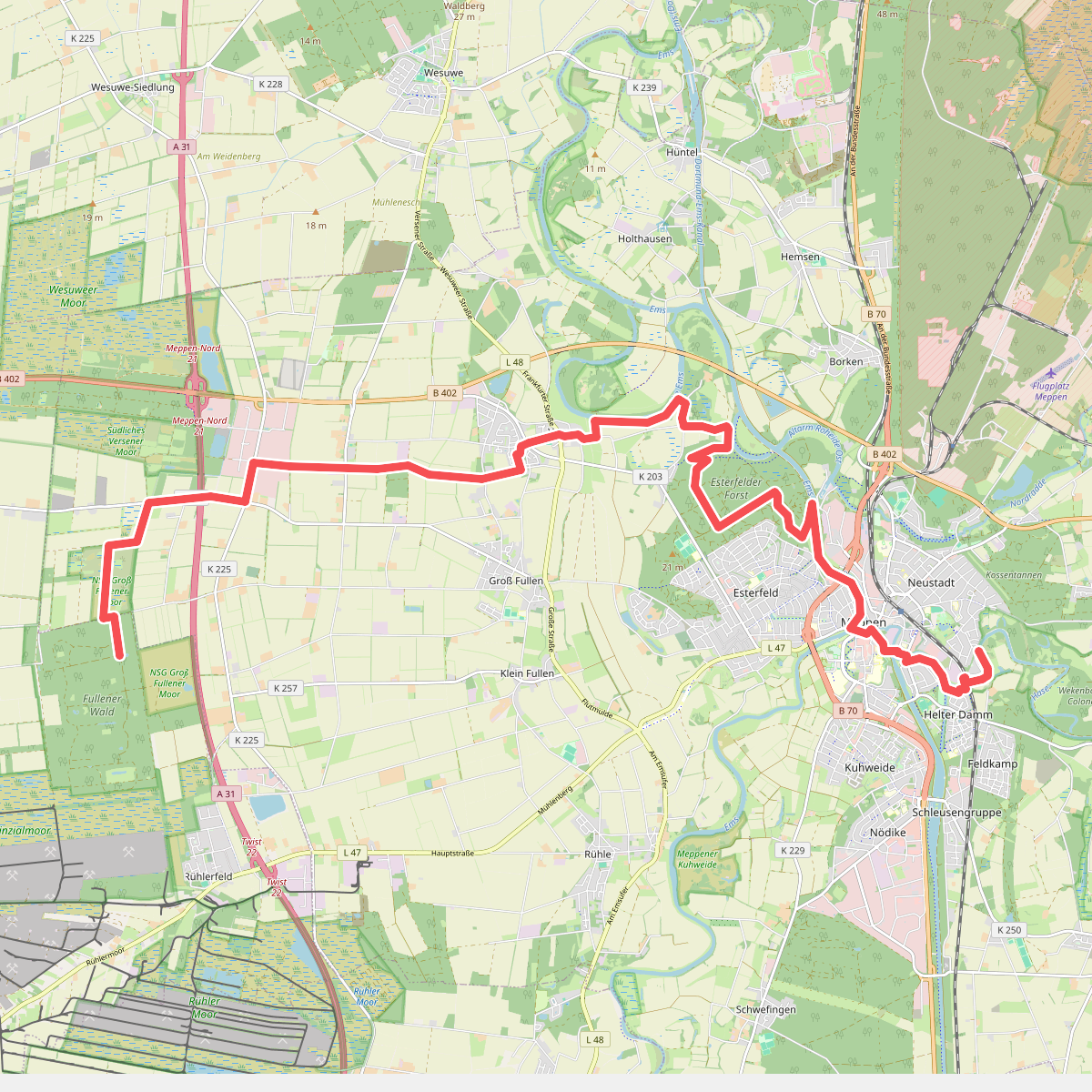
#9. Hondsrugpad - 09/10
Meppen
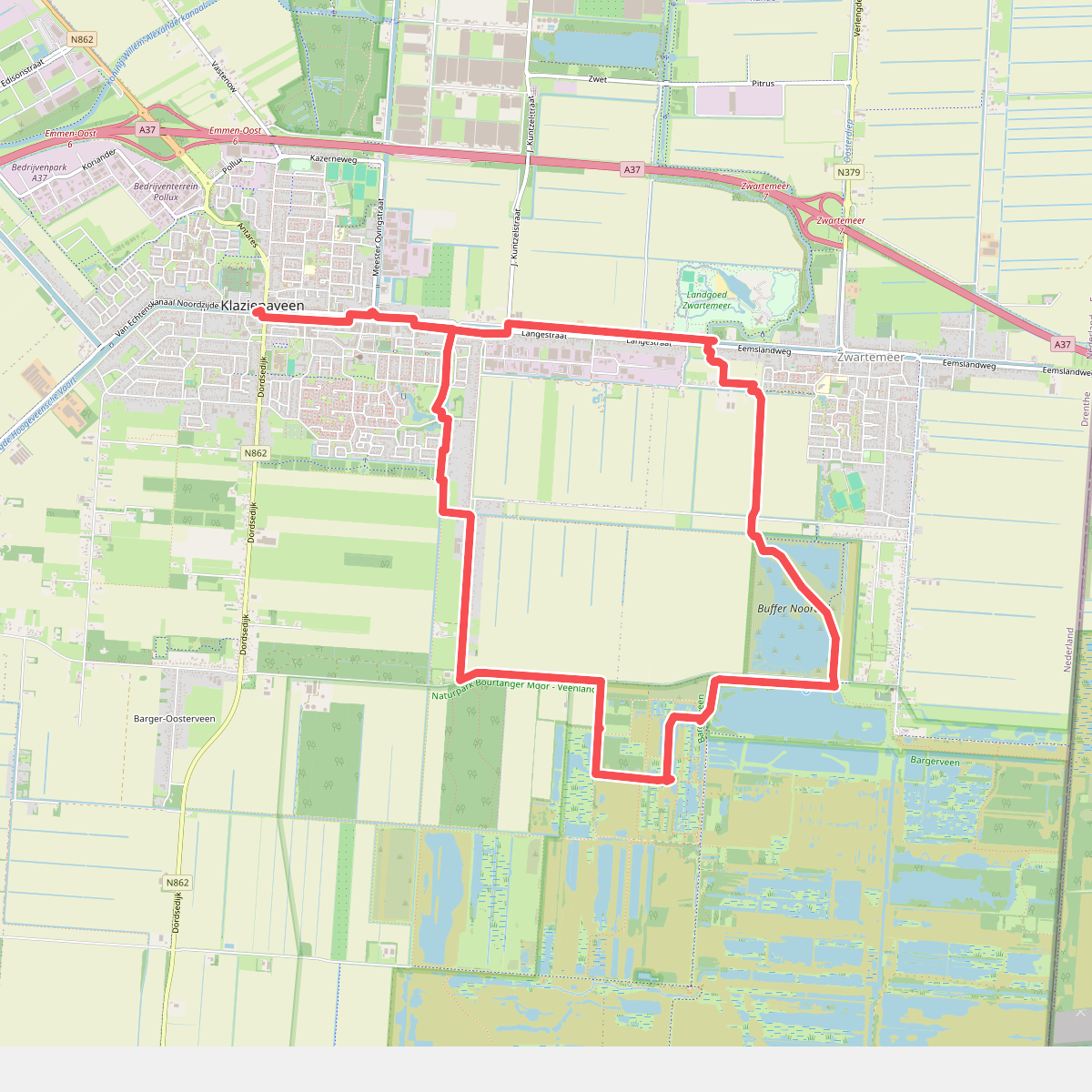
#10. Hubroute Klazienaveen (14 km)
Klazienaveen,Zwartemeer
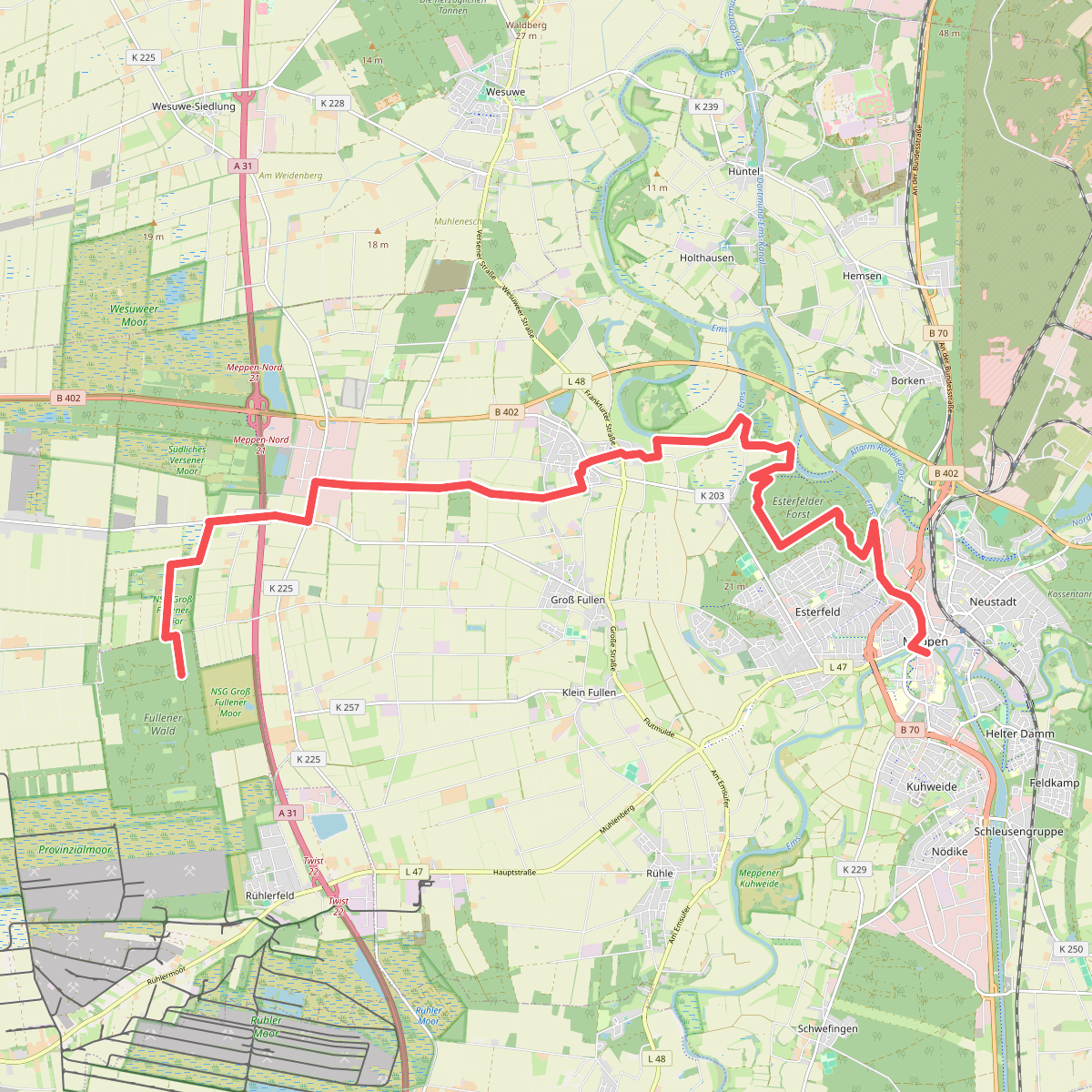
#11. Meppen - Abzw. Rühlerfeld · Hondsrugpad/Hunenweg etappe 10
Twist,Meppen
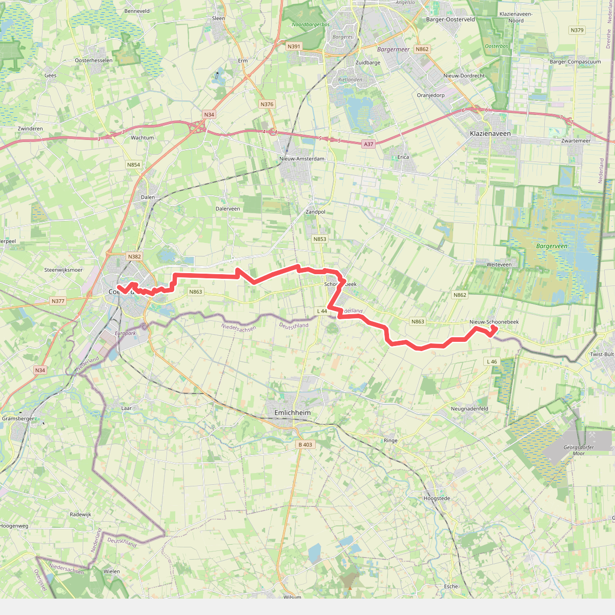
#12. Nieuw Schoonebeek naar Coevorden - "An de raand" · NederRandpad etappe 5
Coevorden,Dalen,Stieltjeskanaal,Schoonebeek,Nieuw-Schoonebeek



