

The best hiking routes in Natur- und Geopark TERRA.vita
Discover the best walks in Natur- und Geopark TERRA.vita. 333 routes on the map, with descriptions, photos and GPX.
Managed by TERRA.vita Natur- und Geopark Nördlicher Teutoburger Wald, Wiehengebirge, Osnabrücker Land e.V.
About Natur- und Geopark TERRA.vita
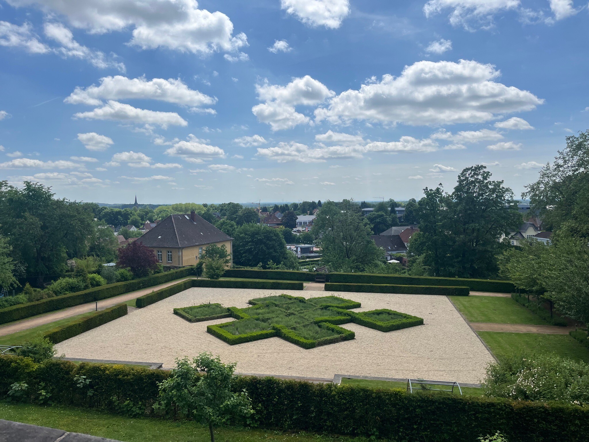
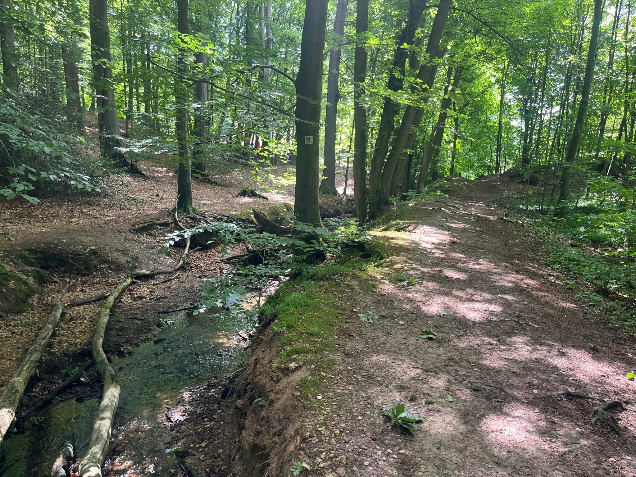
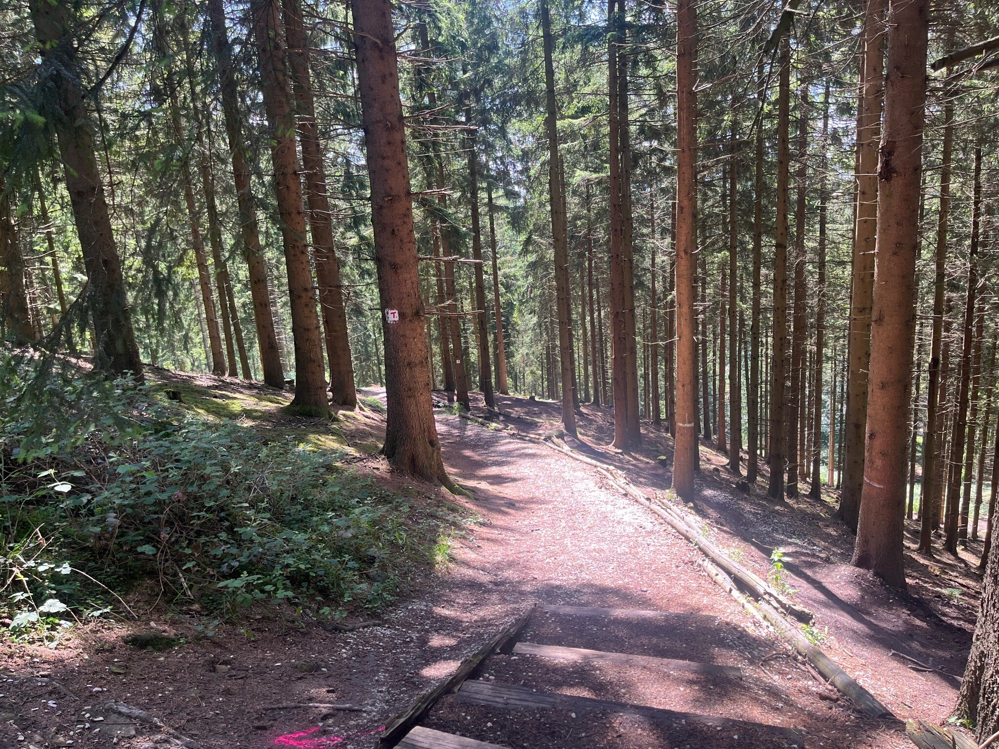
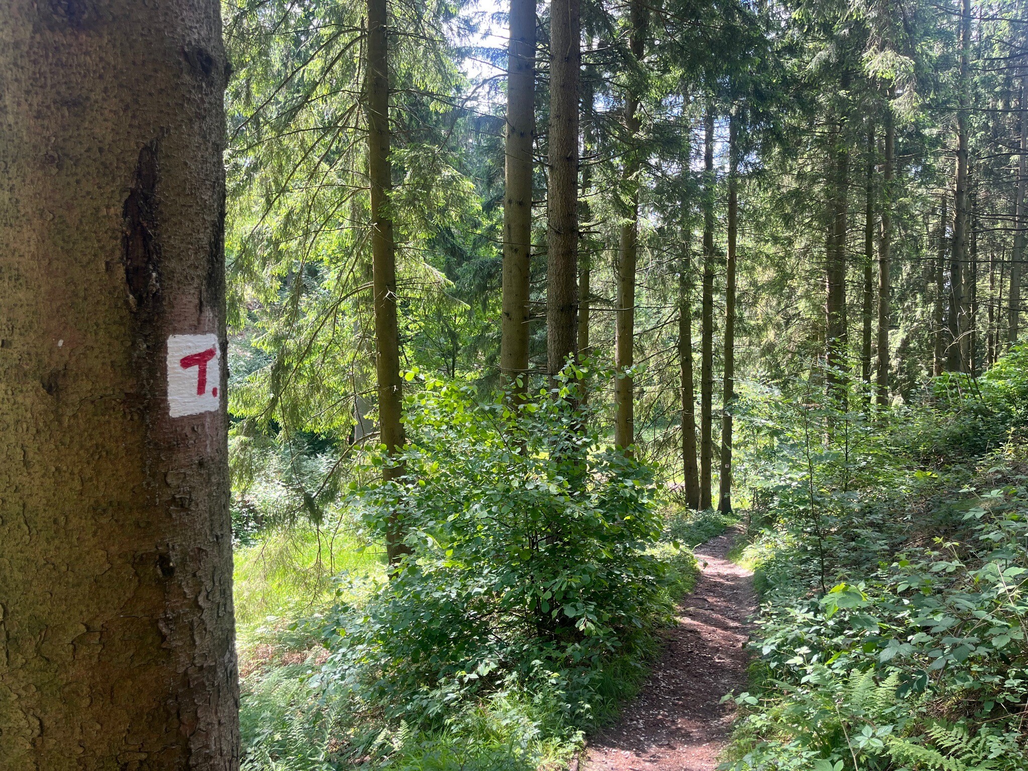
Natur- und Geopark TERRA.vita is defined by two parallel, forested hill ridges, the Teutoburger Wald and the Wiehengebirge, which rise abruptly from the surrounding flat lowlands. Walking here means navigating a landscape shaped by ancient geological forces, where you can actively trace the transition from limestone crests to sandstone slopes. The terrain is gently rolling rather than mountainous, offering steady climbs through dense beech and spruce forests rather than steep, rocky scrambles.
Read more
About Natur- und Geopark TERRA.vita
Natur- und Geopark TERRA.vita is defined by two parallel, forested hill ridges, the Teutoburger Wald and the Wiehengebirge, which rise abruptly from the surrounding flat lowlands. Walking here means navigating a landscape shaped by ancient geological forces, where you can actively trace the transition from limestone crests to sandstone slopes. The terrain is gently rolling rather than mountainous, offering steady climbs through dense beech and spruce forests rather than steep, rocky scrambles.
Read moreNatur- und Geopark TERRA.vita is defined by two parallel, forested hill ridges, the Teutoburger Wald and the Wiehengebirge, which rise abruptly from the surrounding flat lowlands. Walking here means navigating a landscape shaped by ancient geological forces, where you can actively trace the transition from limestone crests to sandstone slopes. The terrain is gently rolling rather than mountainous, offering steady climbs through dense beech and spruce forests rather than steep, rocky scrambles.
Underfoot, the paths vary from soft, needle-strewn earthen tracks in the deeper woods to firm, stony paths along the ridges where the underlying rock comes close to the surface. In the lower valleys and former quarry areas, you will encounter damp clay soils, while the ridge trails remain relatively dry. The landscape is marked by visible geological history, including exposed rock faces, old quarries, and fossil beds that you can see directly from the trailside.
This park does not offer open, sweeping heathlands or high alpine peaks, but rather a dense network of shaded woodland paths and quiet agricultural valleys. The ridge-top trails, such as the Hermannsweg, are well-established and easy to follow, while the lower connecting paths through the fields offer a flatter, more open walking experience. It is a reliable destination for those who prefer structured forest walking with clear geological features over wild, pathless terrain.
Hiking routes in Natur- und Geopark TERRA.vita (333)
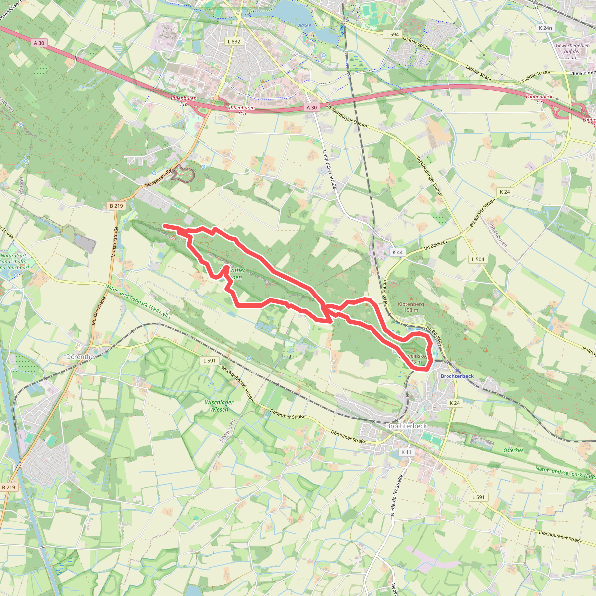
#1. Teutoschleife Dörenther Klippen
Ibbenbüren,Tecklenburg
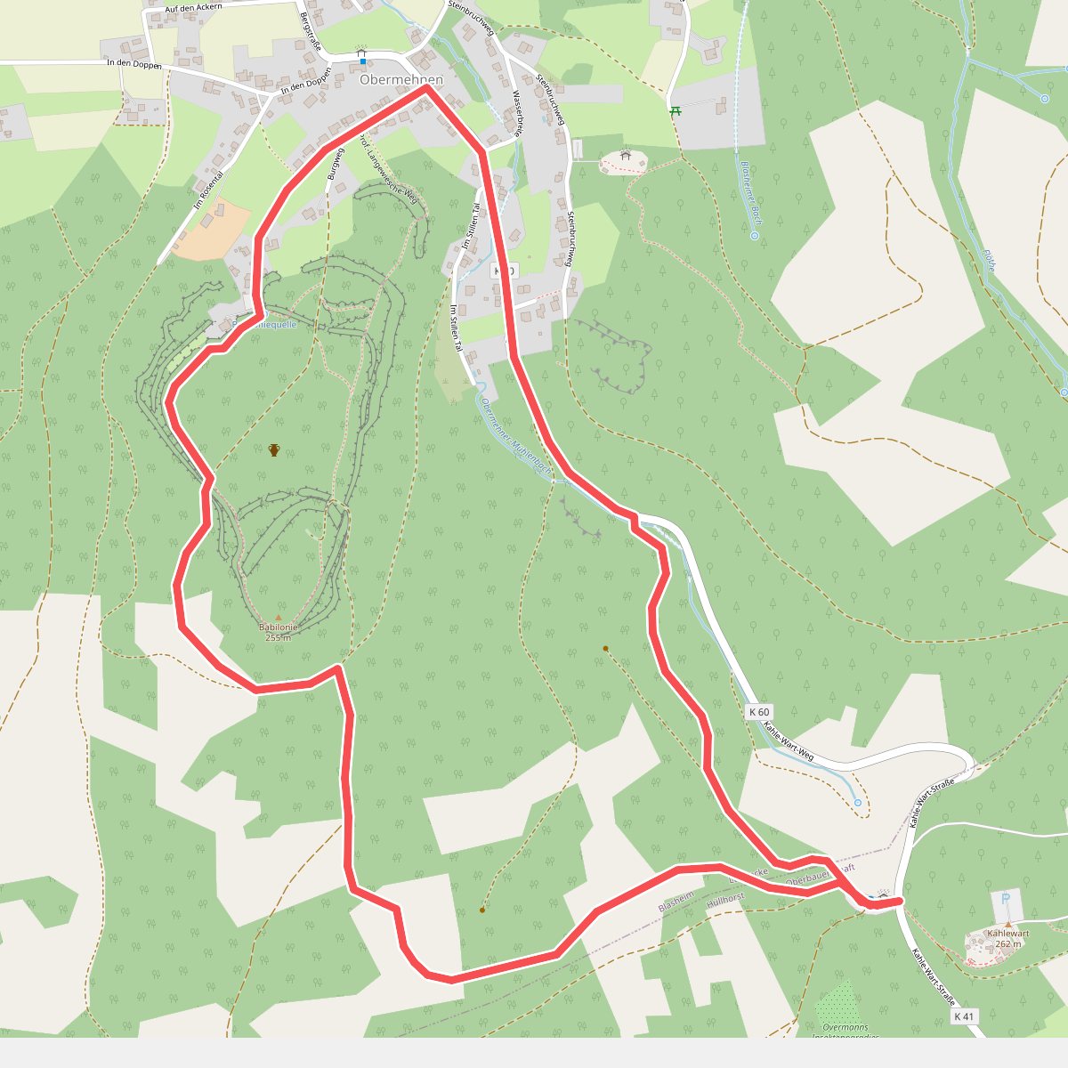
#2. 1 Hüllhorst-Oberbauernschaft
Lübbecke,Hüllhorst
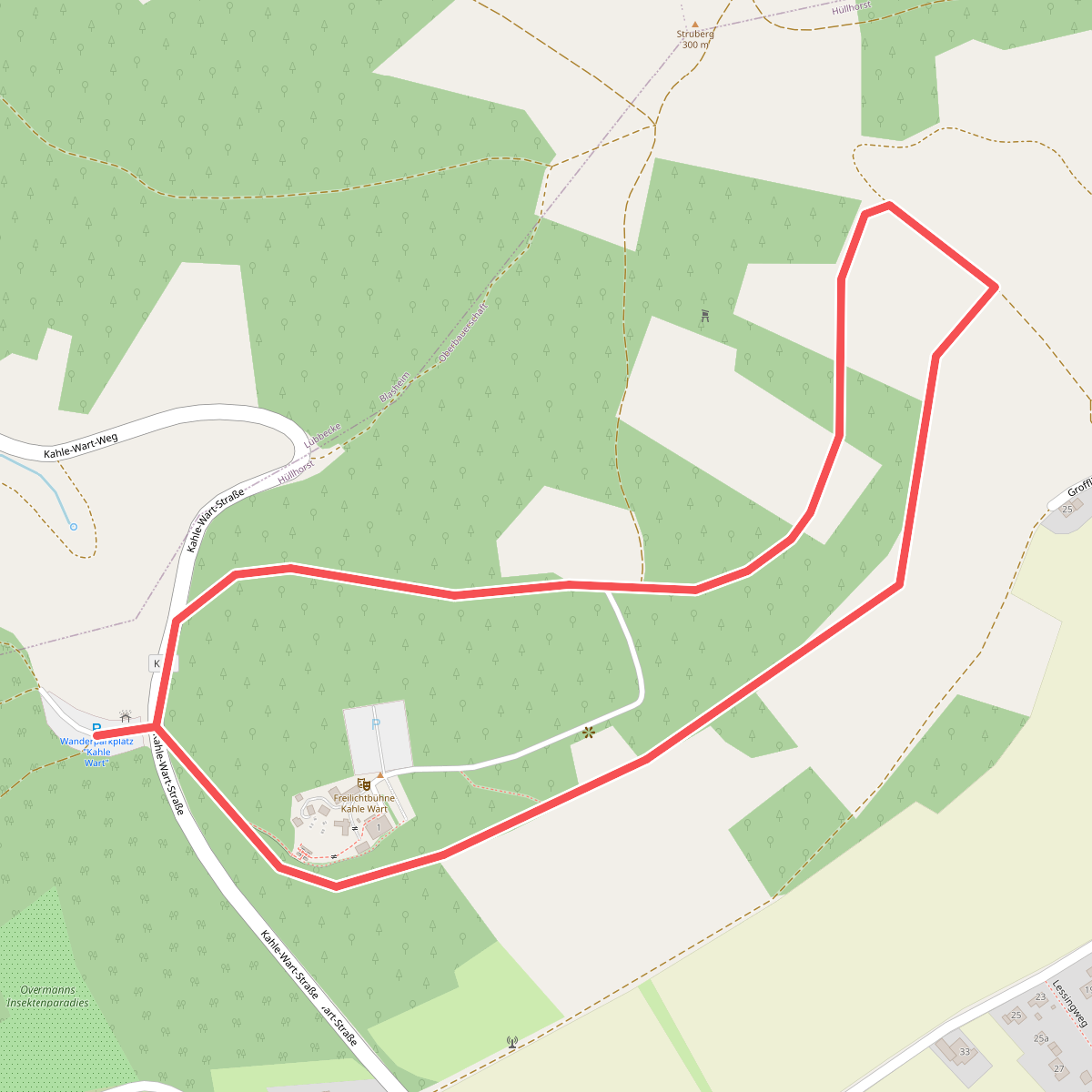
#3. 2 Hüllhorst-Oberbauernschaft
Hüllhorst
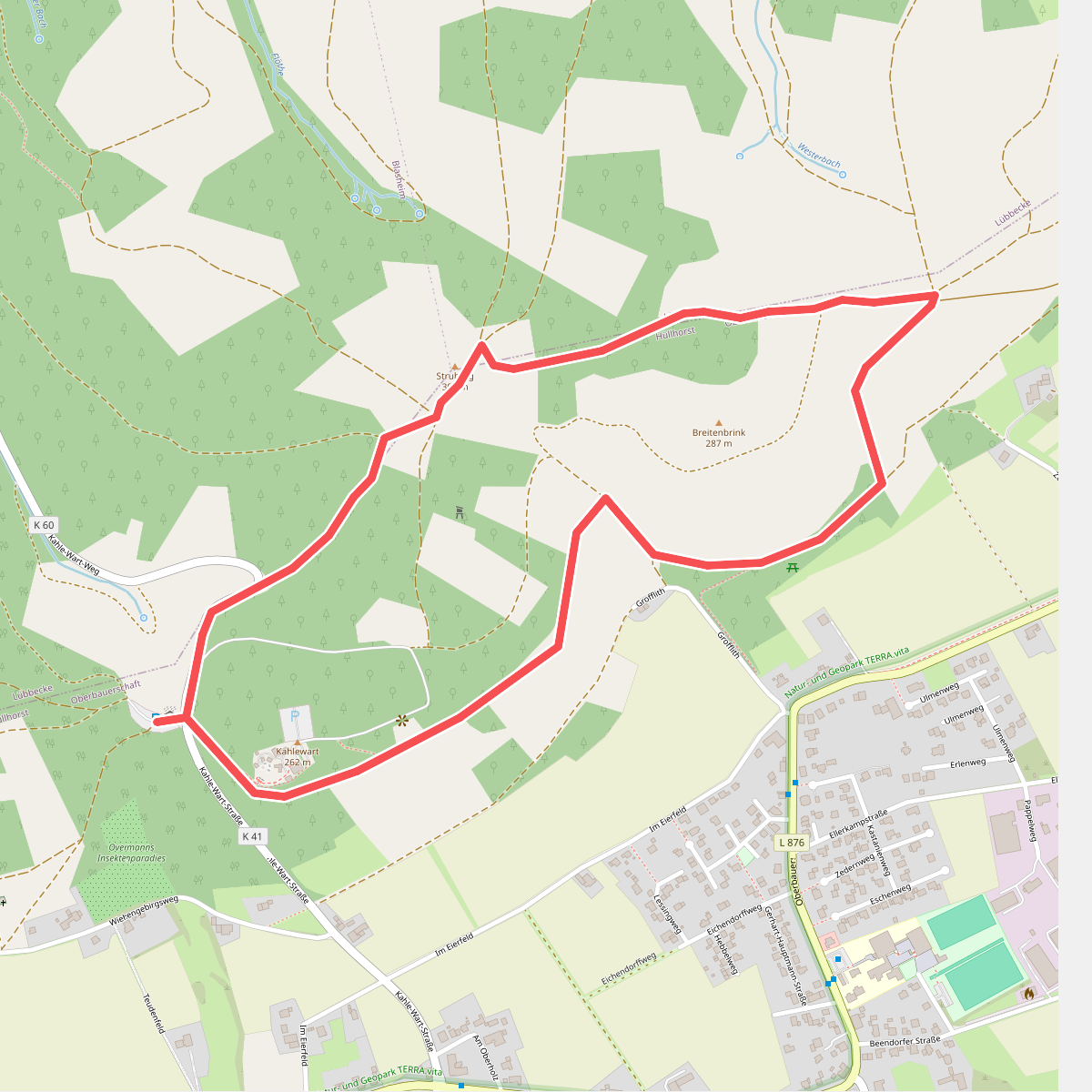
#4. 3 Hüllhorst-Oberbauernschaft
Hüllhorst,Lübbecke
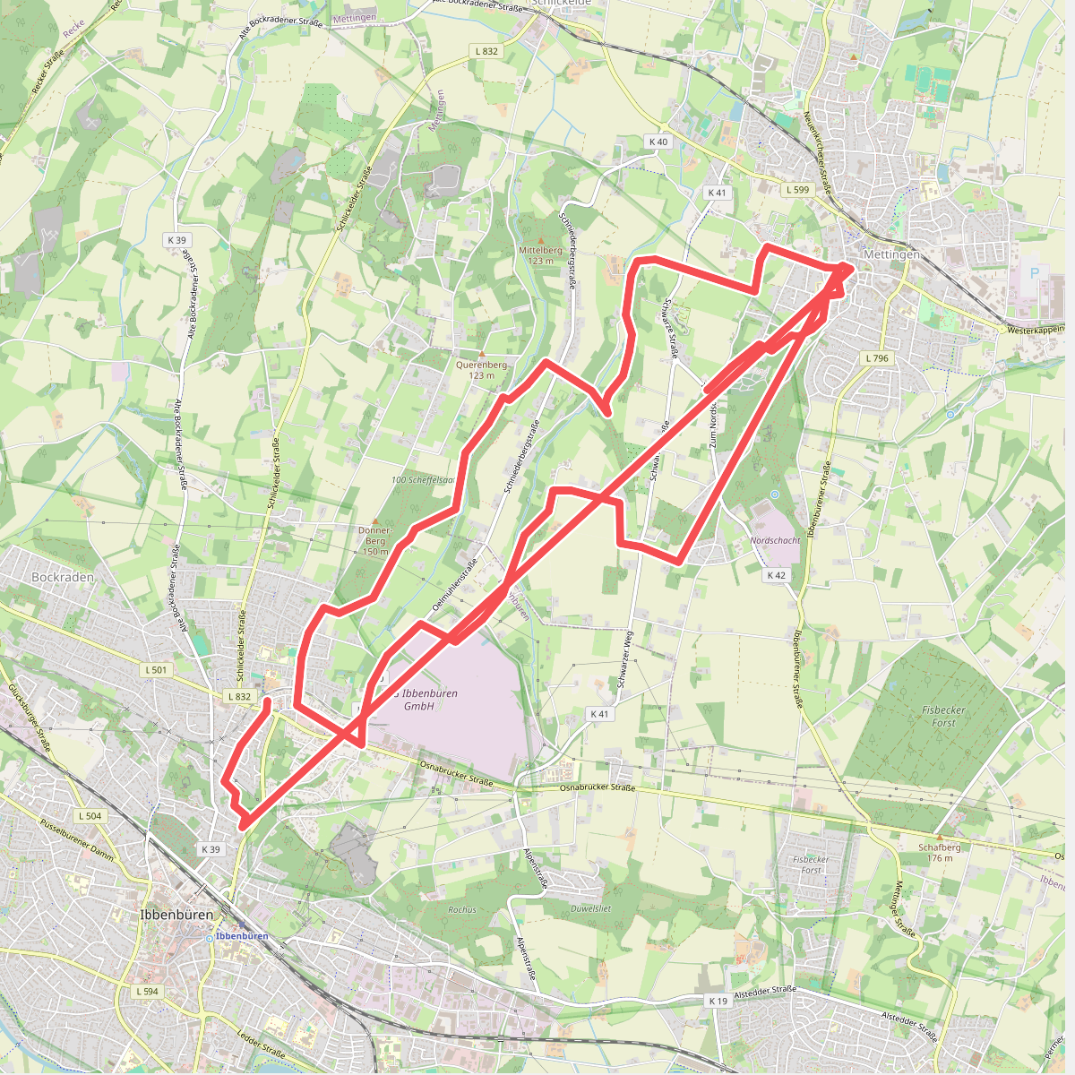
#5. 3 Täler Weg
Mettingen,Ibbenbüren
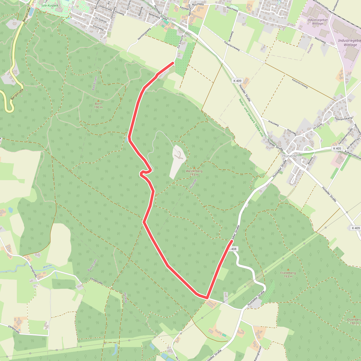
#6. 5
Bad Essen
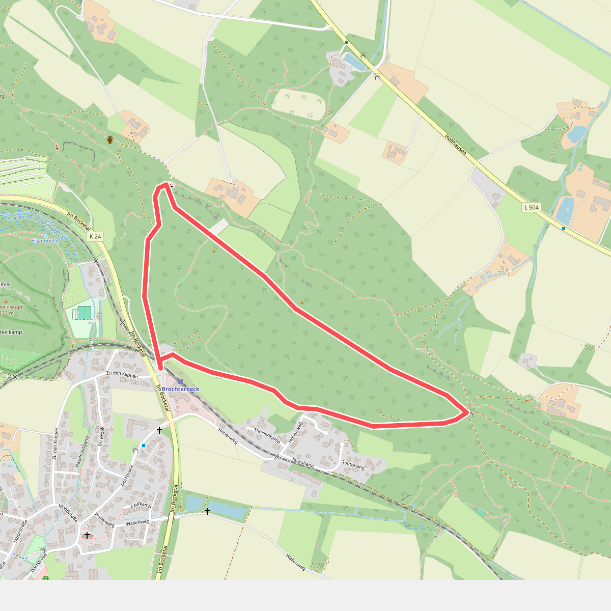
#7. A1 Brochterbeck
Tecklenburg
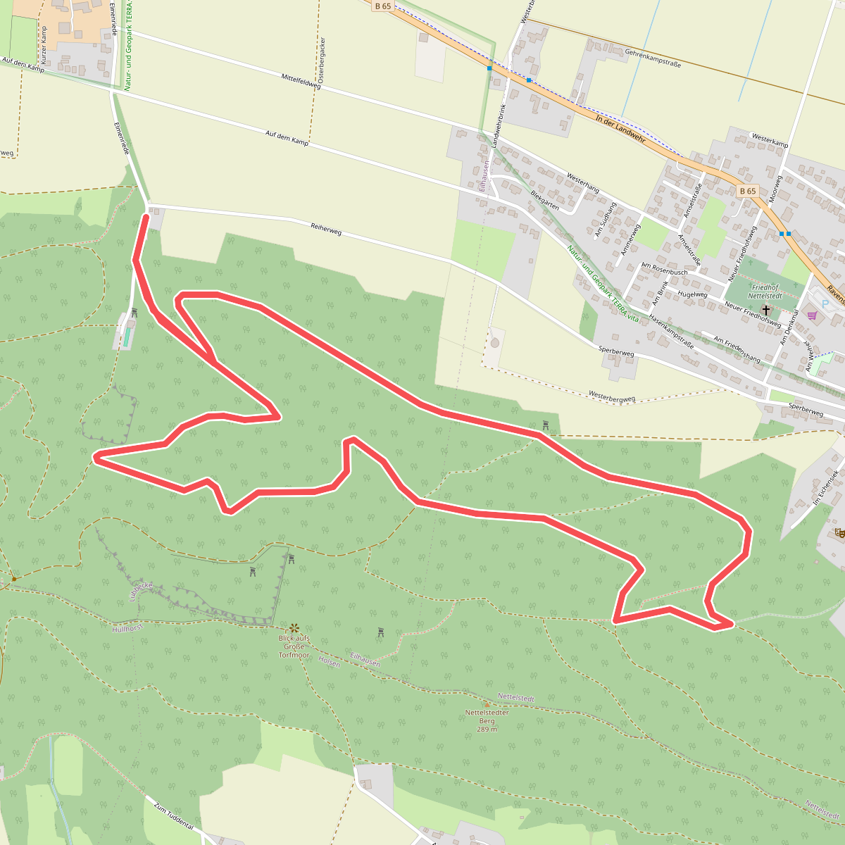
#8. A1 Eilhausen
Lübbecke
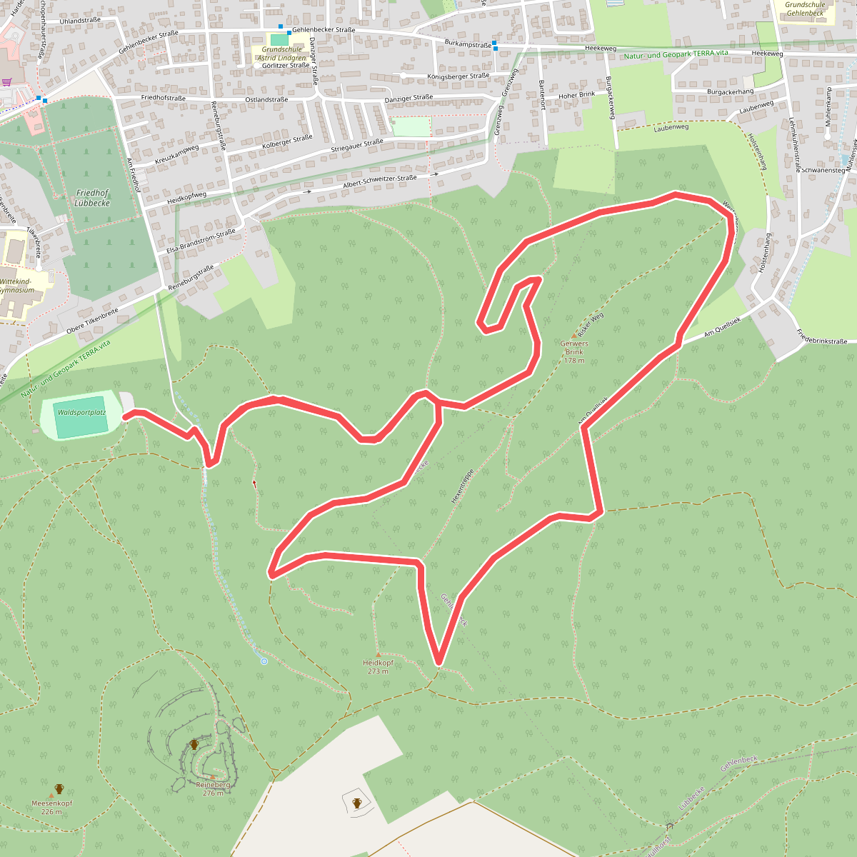
#9. A1 Gehlenbeck
Lübbecke
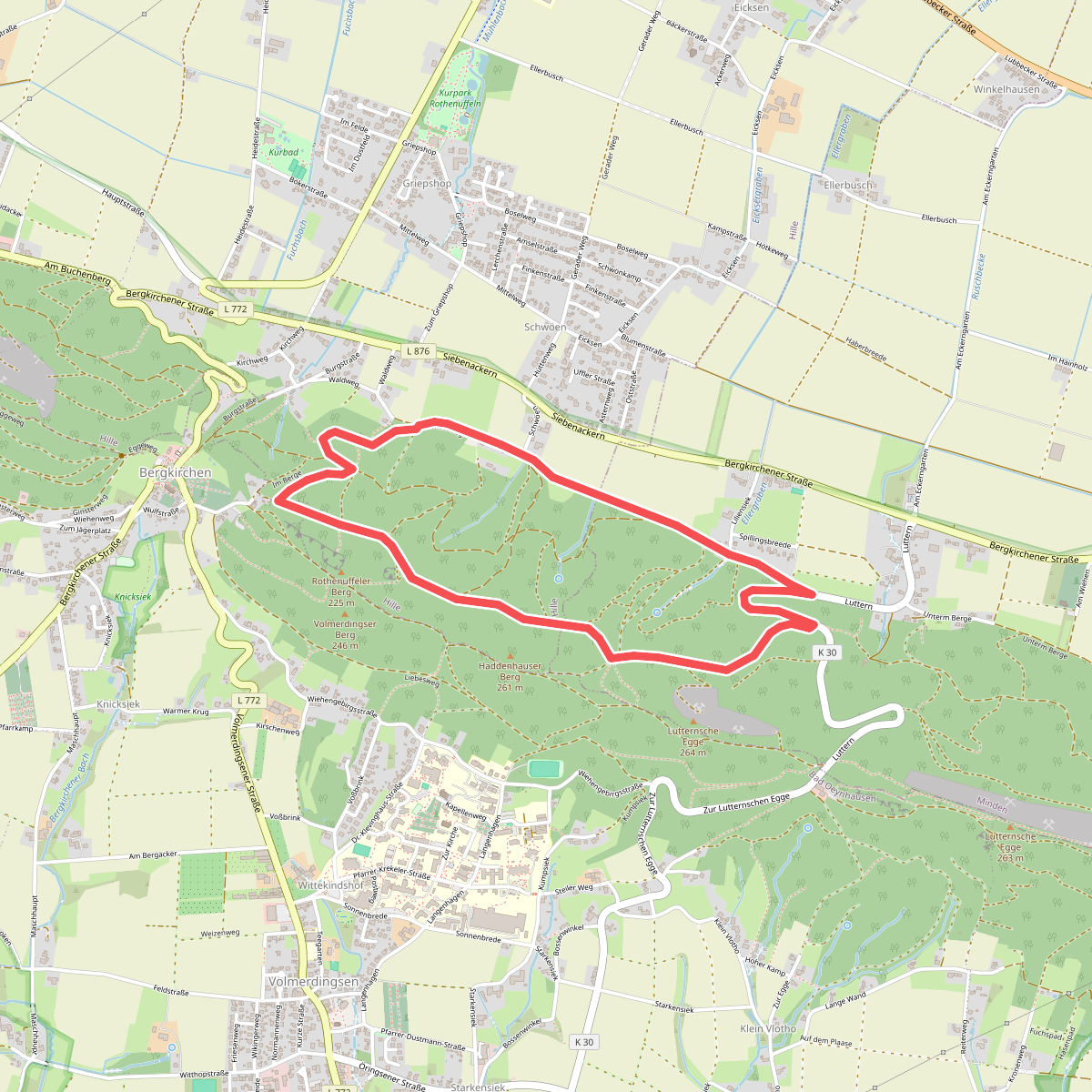
#10. A1 Hille
Hille,Minden
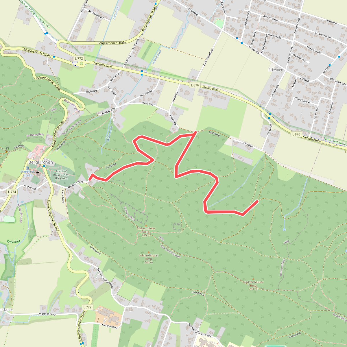
#11. A1 Hille-Rothenuffeln
Hille,Bad Oeynhausen
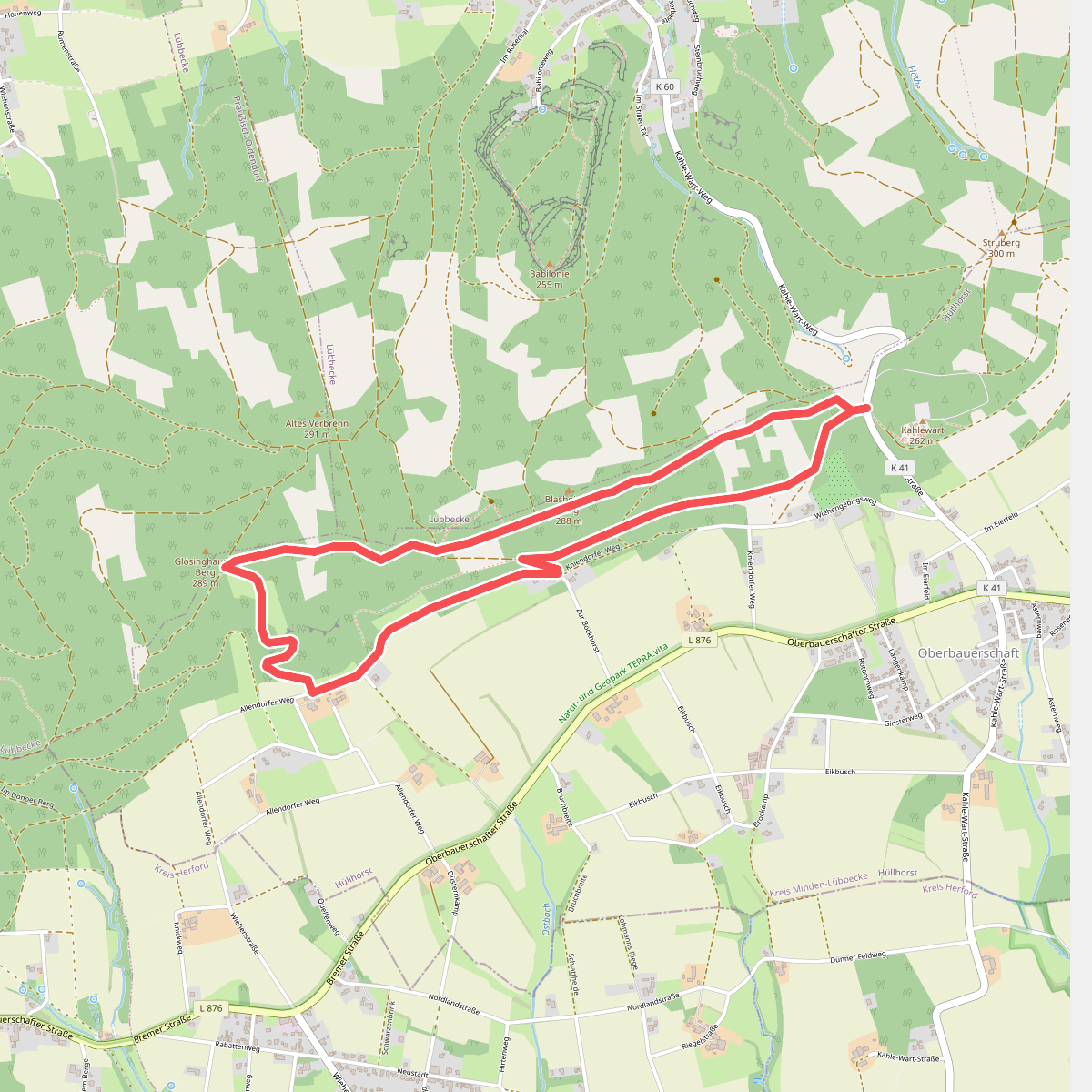
#12. A1 Hüllhorst
Hüllhorst



