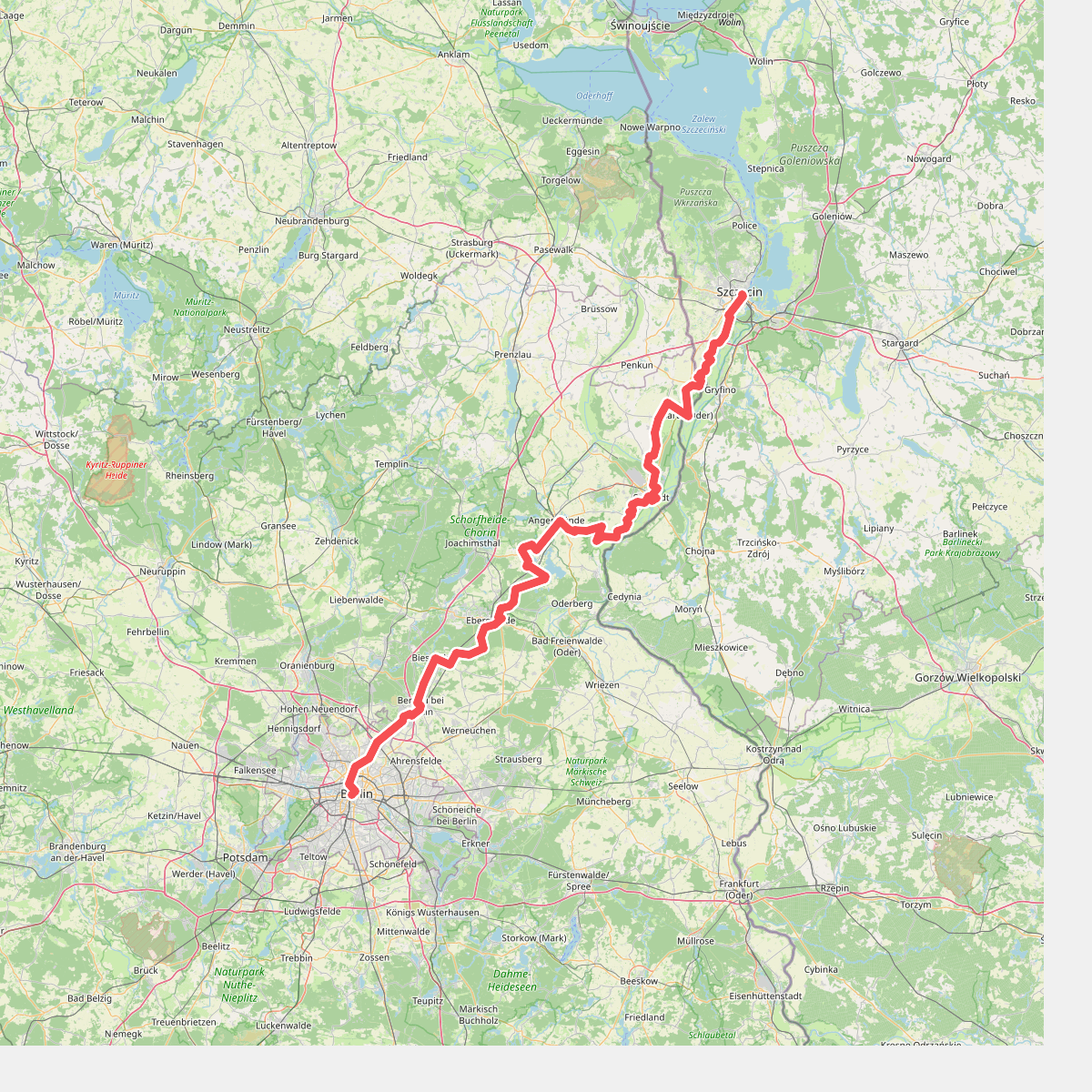
The best hiking routes in Nationalpark Unteres Odertal
Discover the best walks in Nationalpark Unteres Odertal. 1 routes on the map, with descriptions, photos and GPX.
About Nationalpark Unteres Odertal
Nationalpark Unteres Odertal is characterized by a wide, flat river valley that undergoes seasonal changes. Unlike typical forested German parks, this area consists of vast, open polder landscapes that are deliberately flooded in winter and spring, leaving behind wet alluvial meadows, canals, and reed beds. Walking here means navigating a network of flat asphalted dyke paths, grassy tracks, and gravel routes. There are no hills or deep forests in the valley floor itself, though the western edge rises into steep, wooded moraine slopes that offer a view over the wetlands. Underfoot, the terrain alternates between hard-packed dyke surfaces and soft, grassy paths that can be muddy after high water.
Read more
About Nationalpark Unteres Odertal
Nationalpark Unteres Odertal is characterized by a wide, flat river valley that undergoes seasonal changes. Unlike typical forested German parks, this area consists of vast, open polder landscapes that are deliberately flooded in winter and spring, leaving behind wet alluvial meadows, canals, and reed beds. Walking here means navigating a network of flat asphalted dyke paths, grassy tracks, and gravel routes. There are no hills or deep forests in the valley floor itself, though the western edge rises into steep, wooded moraine slopes that offer a view over the wetlands. Underfoot, the terrain alternates between hard-packed dyke surfaces and soft, grassy paths that can be muddy after high water.
Read moreNationalpark Unteres Odertal is characterized by a wide, flat river valley that undergoes seasonal changes. Unlike typical forested German parks, this area consists of vast, open polder landscapes that are deliberately flooded in winter and spring, leaving behind wet alluvial meadows, canals, and reed beds. Walking here means navigating a network of flat asphalted dyke paths, grassy tracks, and gravel routes. There are no hills or deep forests in the valley floor itself, though the western edge rises into steep, wooded moraine slopes that offer a view over the wetlands. Underfoot, the terrain alternates between hard-packed dyke surfaces and soft, grassy paths that can be muddy after high water.
In the spring months, particularly April and May, the retreating floodwaters expose mudflats and shallow pools that attract thousands of migrating waterbirds. The landscape is highly open, with few trees to block the view of the river channels and the industrial silhouette of the nearby Polish town of Gryfino across the border. While the dyke paths are easy to follow and popular with cyclists, the lower meadow paths require careful navigation as they can be blocked by drainage ditches.
This park is not a place for sheltered woodland walks or dry sandy heathlands. It is a functional floodplain where the main interest lies in observing the scale of the river system and the birdlife. The well-known viewing points near Criewen can be busier on weekends, but the long, straight dykes stretching toward Gartz offer a more solitary walking experience where the flat horizon is dominated by water, grass, and sky.