The best hiking routes in Nationalpark Thayatal
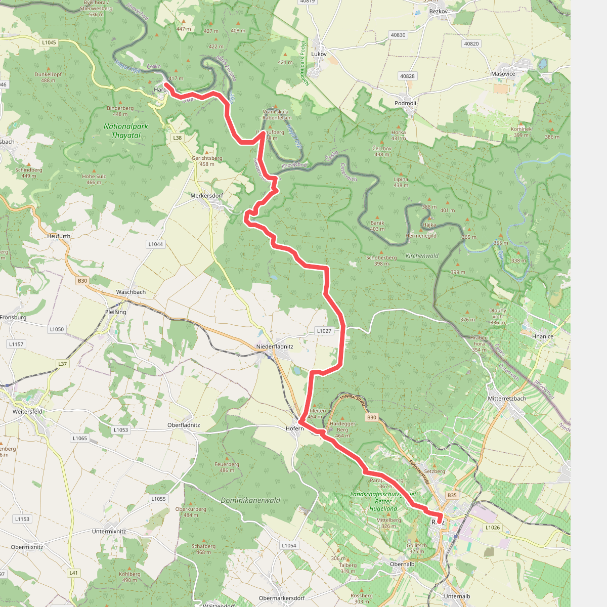
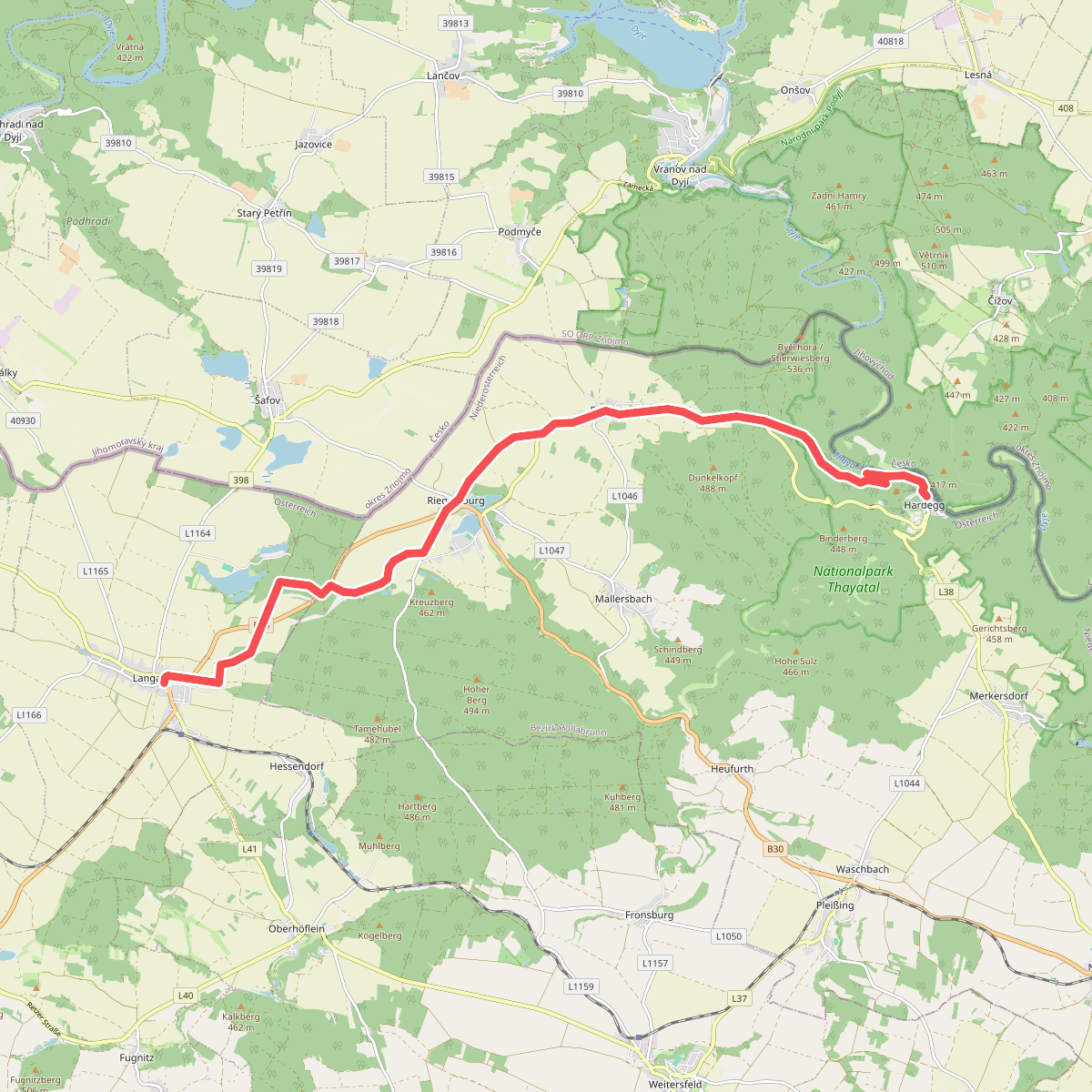
Discover the best walks in Nationalpark Thayatal. 2 routes on the map, with descriptions, photos and GPX.
About Nationalpark Thayatal
Nationalpark Thayatal protects a steep, heavily forested river canyon carved into the granite of the Bohemian Massif. Unlike flatter Austrian woodlands, this landscape is defined by the sharp loops of the Thaya river, which creates distinct microclimates on opposite sides of the valley. As you walk, you will notice a stark contrast between the damp, mossy beech forests on the north-facing slopes and the dry, open oak woods with meadow patches on the south-facing hillsides. The terrain is characterized by rocky outcrops, scree slopes, and sharp ridges rather than wide meadows or high mountain peaks.
Read more
About Nationalpark Thayatal
Nationalpark Thayatal protects a steep, heavily forested river canyon carved into the granite of the Bohemian Massif. Unlike flatter Austrian woodlands, this landscape is defined by the sharp loops of the Thaya river, which creates distinct microclimates on opposite sides of the valley. As you walk, you will notice a stark contrast between the damp, mossy beech forests on the north-facing slopes and the dry, open oak woods with meadow patches on the south-facing hillsides. The terrain is characterized by rocky outcrops, scree slopes, and sharp ridges rather than wide meadows or high mountain peaks.
Read moreNationalpark Thayatal protects a steep, heavily forested river canyon carved into the granite of the Bohemian Massif. Unlike flatter Austrian woodlands, this landscape is defined by the sharp loops of the Thaya river, which creates distinct microclimates on opposite sides of the valley. As you walk, you will notice a stark contrast between the damp, mossy beech forests on the north-facing slopes and the dry, open oak woods with meadow patches on the south-facing hillsides. The terrain is characterized by rocky outcrops, scree slopes, and sharp ridges rather than wide meadows or high mountain peaks.
Underfoot, the paths range from soft forest soil and leaf litter to narrow, rocky tracks that require careful stepping over exposed tree roots and granite stones. There are no paved promenades or extensive boardwalks here; the trails follow the natural contours of the gorge, occasionally descending to the riverbank before climbing steeply to rocky viewpoints like the Maxplateau. The river itself is a constant presence, though often hidden by the dense canopy until you reach the bends where the water slows down.
In May, the forest floor is covered in fresh green beech leaves and early wildflowers, while the dry rocky slopes show their sparse, heat-tolerant vegetation. The park is compact, meaning you can experience both the cool gorge floor and the dry ridge tops in a single afternoon walk. Visitors should expect a quiet, enclosed woodland experience focused on river bends and rock formations, rather than wide-open horizons or long-distance mountain vistas.