The best hiking routes in Nationalpark Skjoldungernes Land
Discover the best walks in Nationalpark Skjoldungernes Land. 6 routes on the map, with descriptions, photos and GPX.
About Nationalpark Skjoldungernes Land
Nationalpark Skjoldungernes Land presents a low-lying, glaciated landscape shaped by the last ice age, dominated by the long, narrow Roskilde Fjord, deciduous woodlands, and open agricultural valleys. Unlike the steep, rocky terrains of northern Scandinavia, this Danish park is defined by its gentle, rolling moraine hills, shallow wetlands, and marshy meadows. Walkers will find a mix of dense beech forests like Bidstrup Skovene in the south and exposed coastal paths along the fjord in the north, meaning the landscape changes significantly depending on whether you head inland or stay near the water.
Read more
About Nationalpark Skjoldungernes Land
Nationalpark Skjoldungernes Land presents a low-lying, glaciated landscape shaped by the last ice age, dominated by the long, narrow Roskilde Fjord, deciduous woodlands, and open agricultural valleys. Unlike the steep, rocky terrains of northern Scandinavia, this Danish park is defined by its gentle, rolling moraine hills, shallow wetlands, and marshy meadows. Walkers will find a mix of dense beech forests like Bidstrup Skovene in the south and exposed coastal paths along the fjord in the north, meaning the landscape changes significantly depending on whether you head inland or stay near the water.
Read moreNationalpark Skjoldungernes Land presents a low-lying, glaciated landscape shaped by the last ice age, dominated by the long, narrow Roskilde Fjord, deciduous woodlands, and open agricultural valleys. Unlike the steep, rocky terrains of northern Scandinavia, this Danish park is defined by its gentle, rolling moraine hills, shallow wetlands, and marshy meadows. Walkers will find a mix of dense beech forests like Bidstrup Skovene in the south and exposed coastal paths along the fjord in the north, meaning the landscape changes significantly depending on whether you head inland or stay near the water.
Underfoot, the trails vary from soft, leaf-littered soil and muddy clay tracks in the forested interior to gravel paths and grassy dikes along the shoreline. Wooden boardwalks cross the wettest marshy areas near the lakes and streams, though these can be slippery after rain. The elevation changes are modest but frequent, as the paths constantly climb and descend short, steep glacial ridges rather than long mountain passes.
In May, the beech forests show a bright green canopy that shades the forest floor, while the coastal meadows are open and exposed to the elements. The areas closest to Roskilde and the main historic sites see regular foot traffic, while the deeper forest tracks in the southern section of the park offer a much quieter walking experience. This is a landscape of quiet, rural details, where the transition from woodland to fjord edge happens over just a few kilometres.
Hiking routes in Nationalpark Skjoldungernes Land (6)
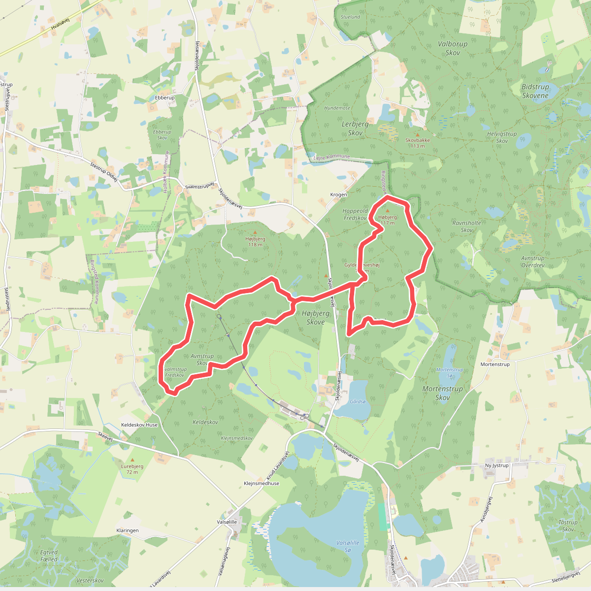
#1. Bidstrupskovene Avnstrup
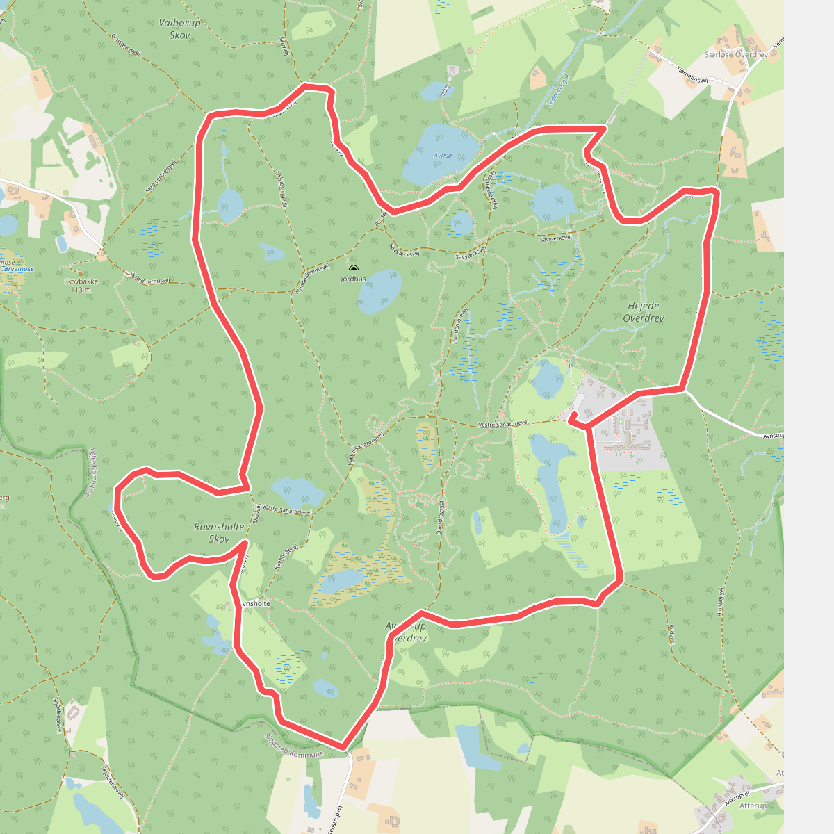
#2. Bognæs Storskov
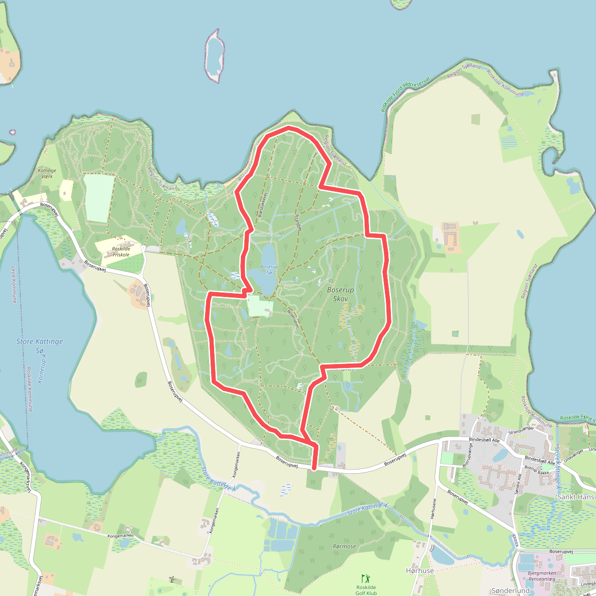
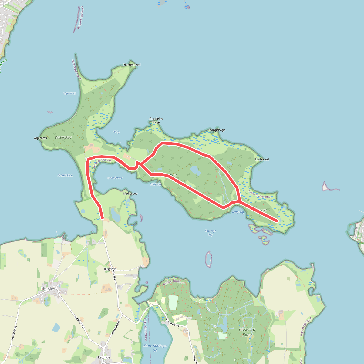
#3. Boserup Rundt 5 km
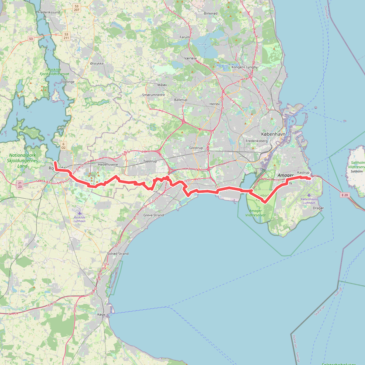
#4. Den danske Pilgrimsrute - Østsjælland
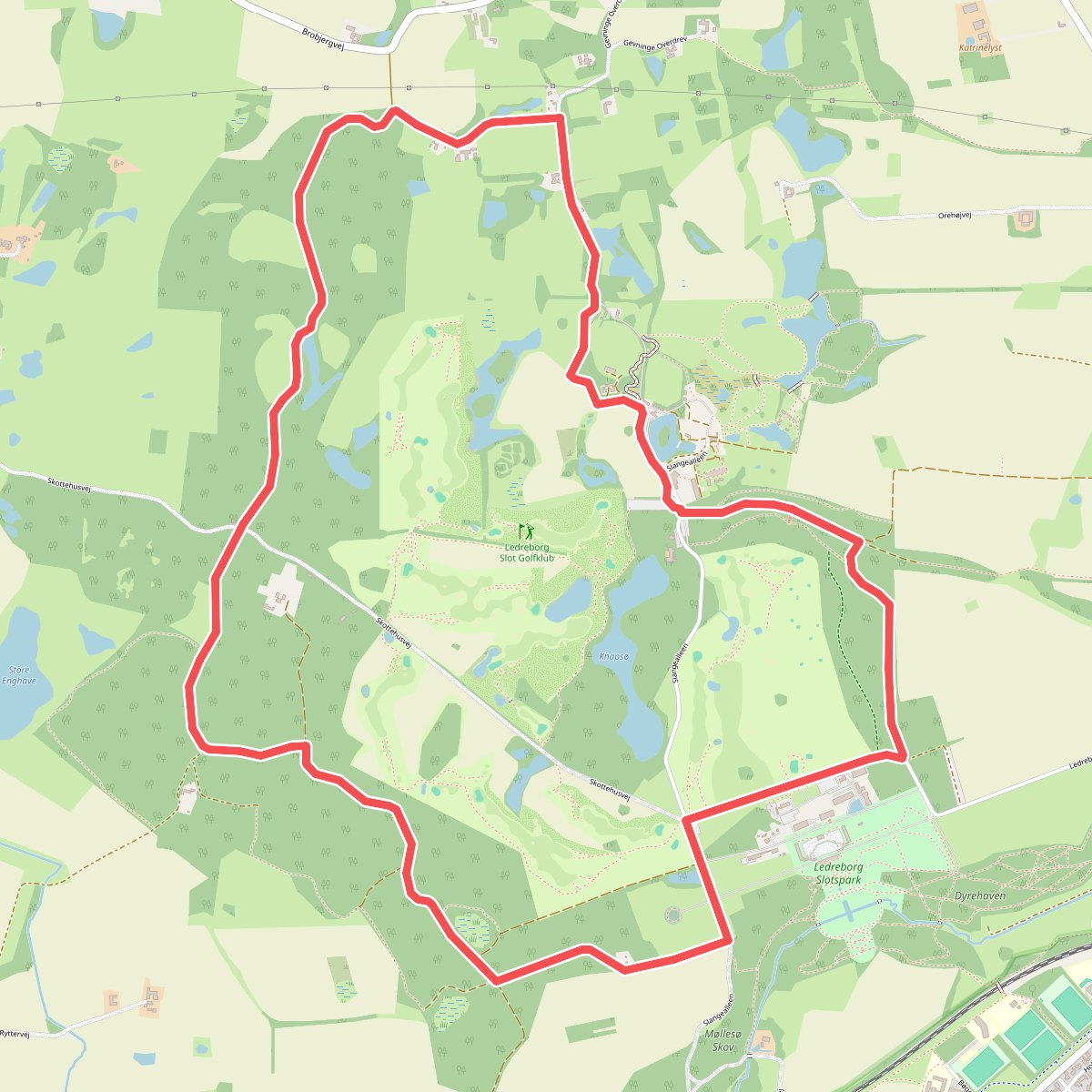
#5. Ledreborg Rundt