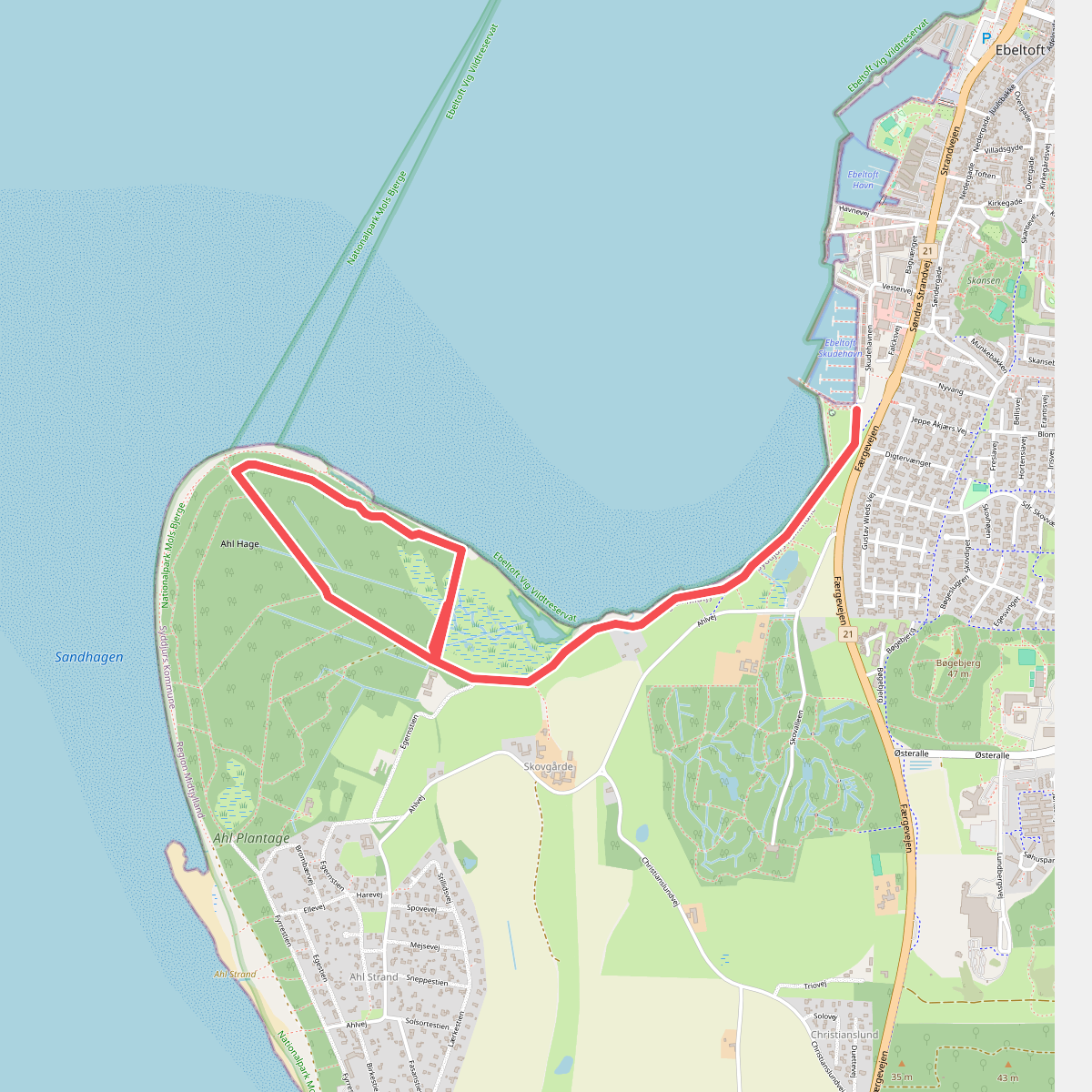
The best hiking routes in Nationalpark Mols Bjerge
Discover the best walks in Nationalpark Mols Bjerge. 19 routes on the map, with descriptions, photos and GPX.
About Nationalpark Mols Bjerge
Nationalpark Mols Bjerge on the Djursland peninsula is defined by its dramatic glacial topography, where massive ice sheets and meltwater carved deep kettle holes and steep, gravelly hills. Unlike the flat plains found in much of Denmark, this landscape rises into prominent moraine ridges like Agri Bavnehøj and Trehøje. Walkers will notice a stark contrast between the exposed, dry grass-heathland on the south-facing slopes and the dense beech forests that fill the sheltered ravines. The soil is predominantly sandy and nutrient-poor, supporting specialized flora such as pasqueflower and sheep's fescue.
Read more
About Nationalpark Mols Bjerge
Nationalpark Mols Bjerge on the Djursland peninsula is defined by its dramatic glacial topography, where massive ice sheets and meltwater carved deep kettle holes and steep, gravelly hills. Unlike the flat plains found in much of Denmark, this landscape rises into prominent moraine ridges like Agri Bavnehøj and Trehøje. Walkers will notice a stark contrast between the exposed, dry grass-heathland on the south-facing slopes and the dense beech forests that fill the sheltered ravines. The soil is predominantly sandy and nutrient-poor, supporting specialized flora such as pasqueflower and sheep's fescue.
Read moreNationalpark Mols Bjerge on the Djursland peninsula is defined by its dramatic glacial topography, where massive ice sheets and meltwater carved deep kettle holes and steep, gravelly hills. Unlike the flat plains found in much of Denmark, this landscape rises into prominent moraine ridges like Agri Bavnehøj and Trehøje. Walkers will notice a stark contrast between the exposed, dry grass-heathland on the south-facing slopes and the dense beech forests that fill the sheltered ravines. The soil is predominantly sandy and nutrient-poor, supporting specialized flora such as pasqueflower and sheep's fescue.
Underfoot, the terrain varies from loose sand and gravel tracks on the open hills to soft leaf litter under the forest canopy. While the elevation changes are frequent and steep enough to require some effort, they are short, and the trails do not feature rugged mountain terrain or rocky scrambles. Cattle and horses graze behind fences across large sections of the open hills to prevent scrub encroachment, meaning walkers will frequently use self-closing gates and share the paths with livestock.
The coastal fringes of the park offer a different character, where the hills slope down to meet the shallow waters of Ebeltoft Vig and Kalø Vig. Here, the paths transition to stony beaches and salt marshes. The medieval castle ruin of Kalø Slot, reached via a tidal stone causeway, is a well-known focal point that attracts more visitors, whereas the interior heathland valleys of Toggerbo offer a quieter walking experience among the gorse and juniper bushes.
Hiking routes in Nationalpark Mols Bjerge (19)
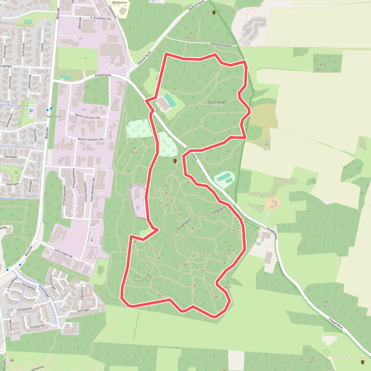
#1. Bjørnkær - Egedal Skov
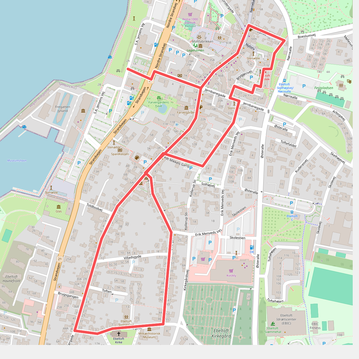
#2. Den gamle købstad
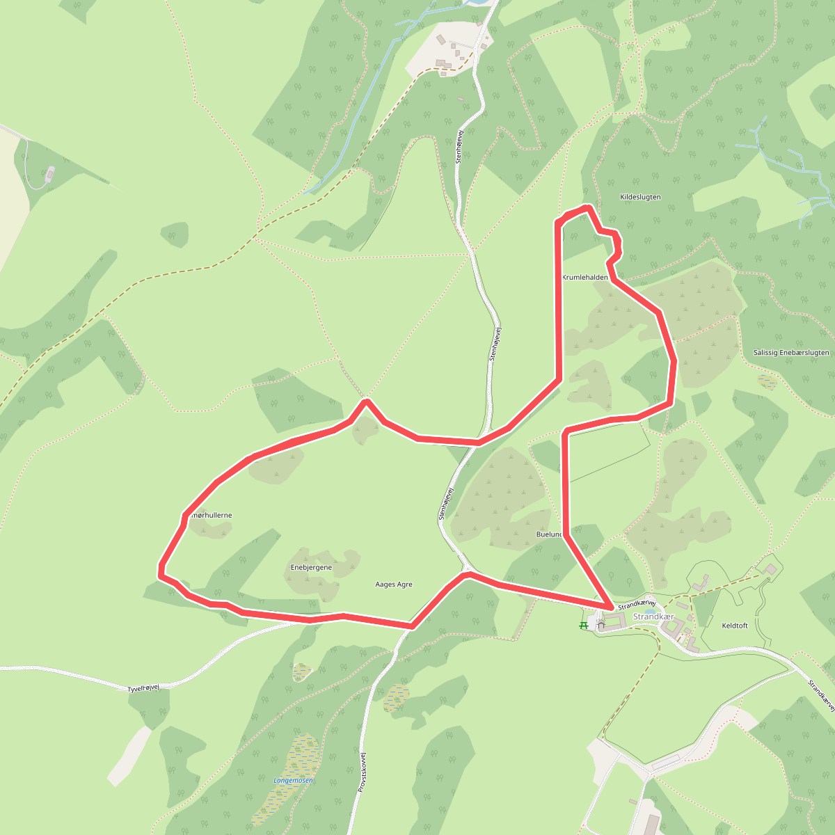
#3. Den italienske sti
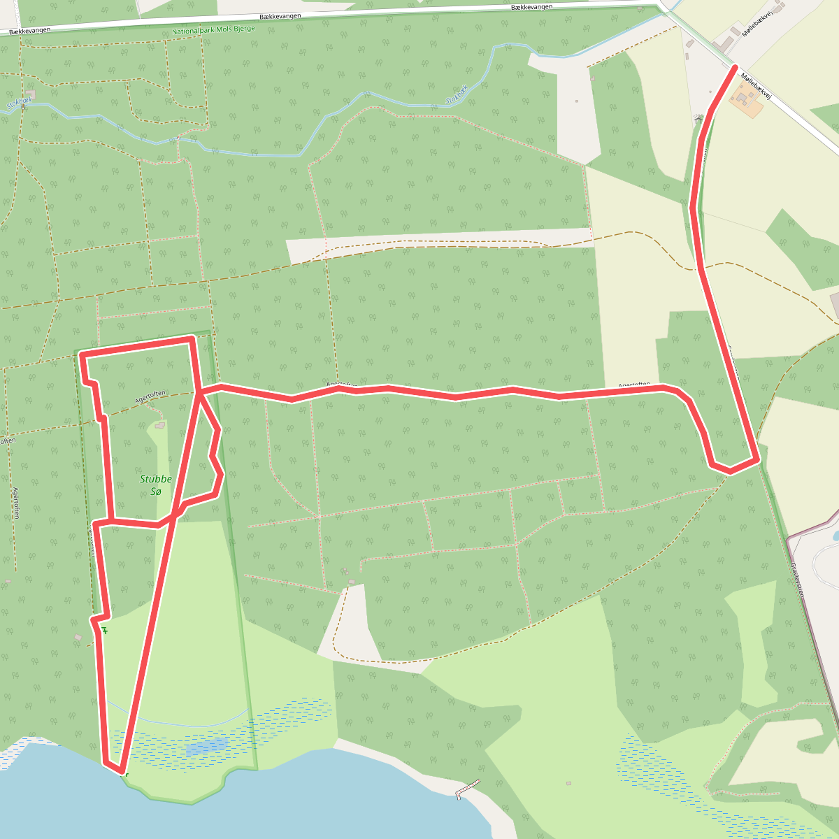
#4. Fugleværnsfondens sti
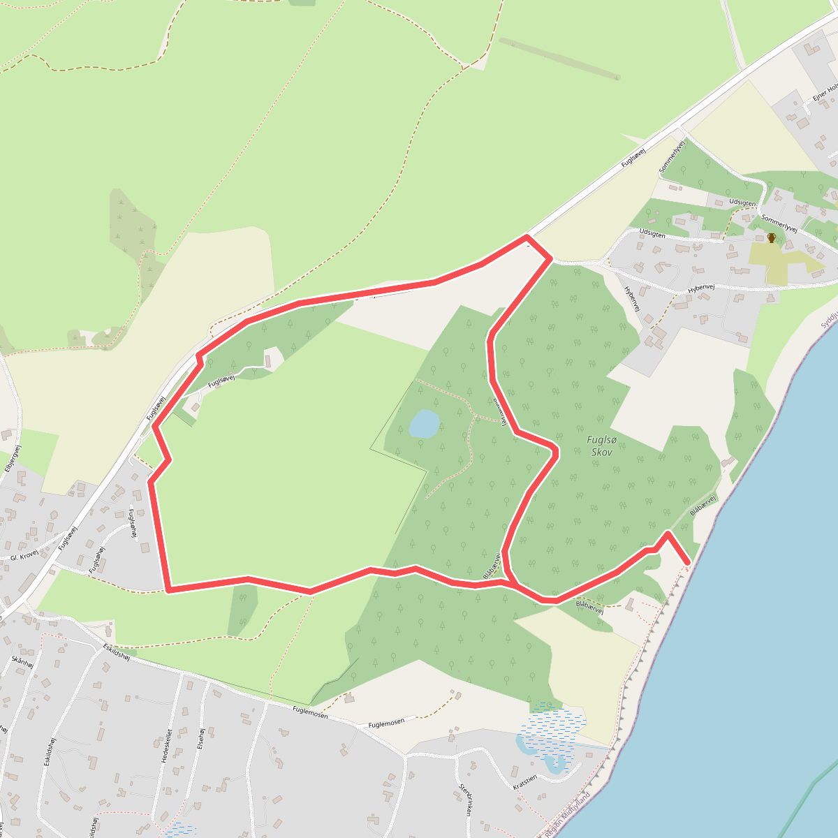
#5. Fuglsø Hede
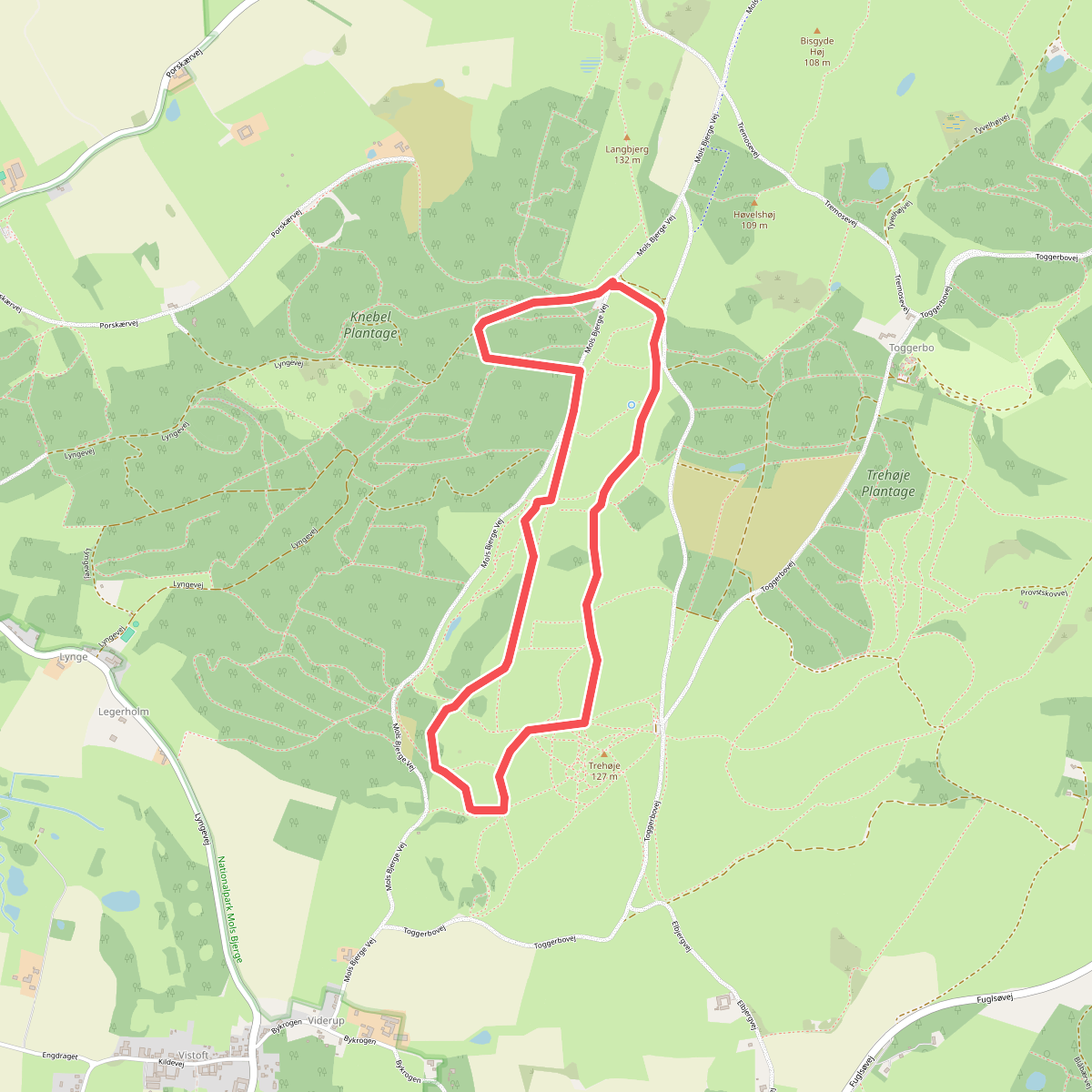
#6. Helligkildestien
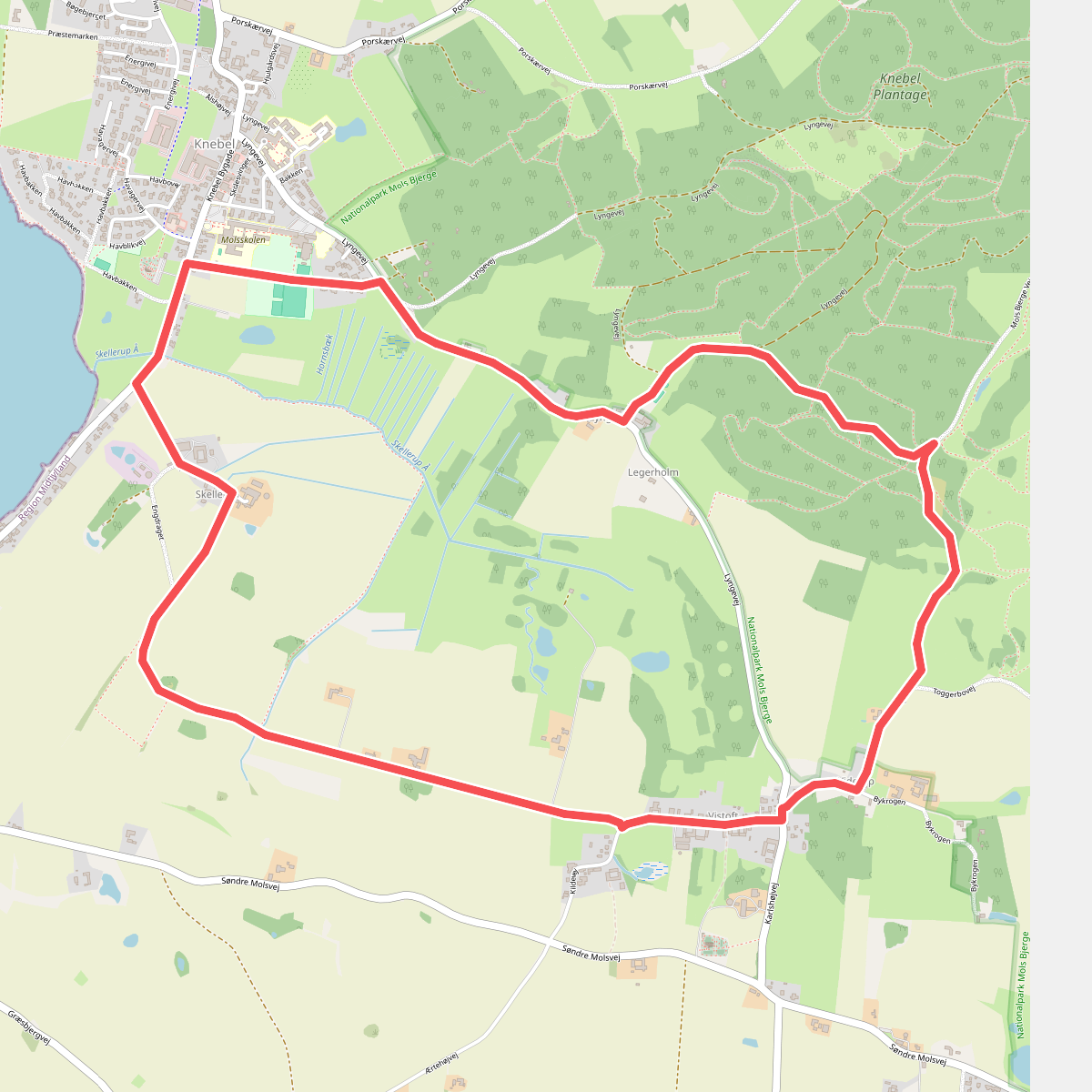
#7. Kløverstier-Landsbyruten
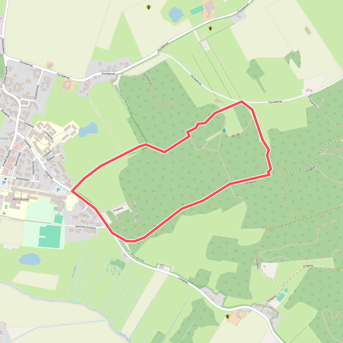
#8. Kløverstier-Motionsruten
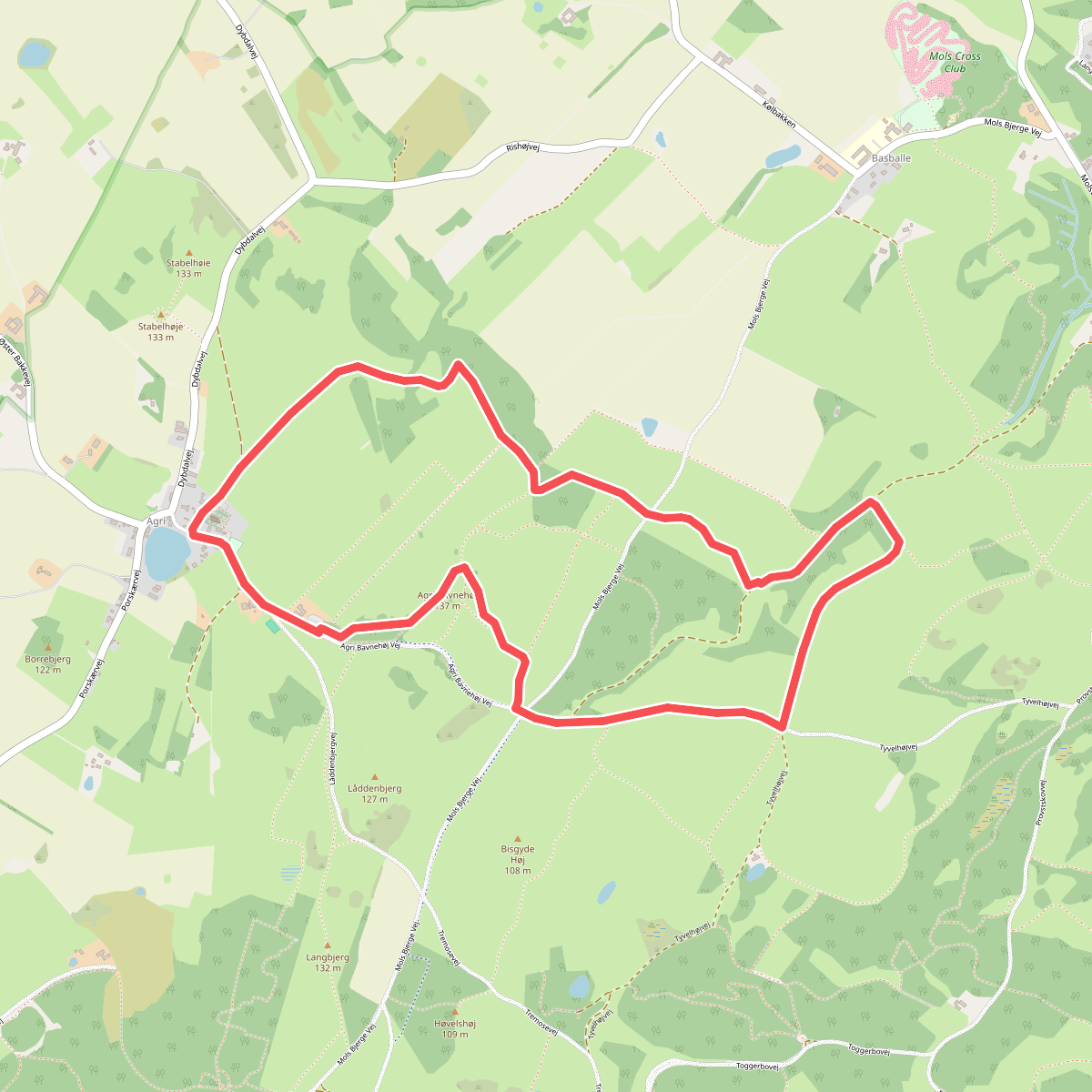
#9. Kvalitetssti Agri Bavnehøj
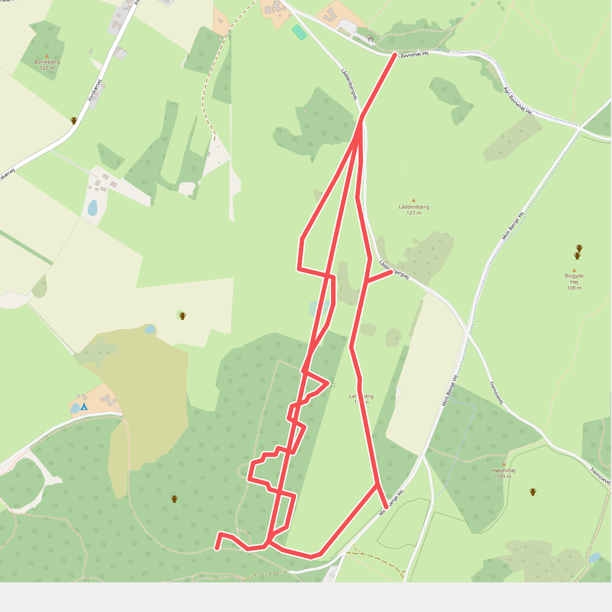
#10. Langbjergstien
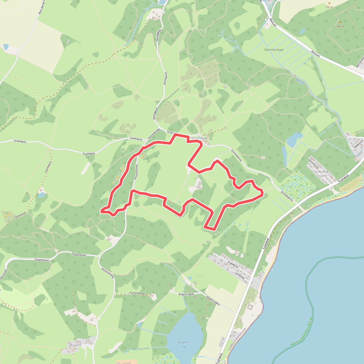
#11. Langemosestien