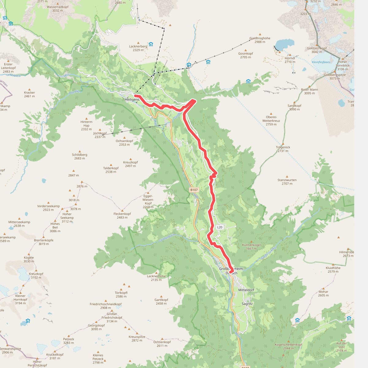
The best hiking routes in Nationalpark Hohe Tauern
Discover the best walks in Nationalpark Hohe Tauern. 112 routes on the map, with descriptions, photos and GPX.
About Nationalpark Hohe Tauern
Nationalpark Hohe Tauern is defined by its extreme verticality, dominated by high-altitude granite peaks, massive glaciers, and steep, rocky hanging valleys. Unlike gentler pre-alpine hills, the terrain here is rugged and demanding, requiring walkers to navigate steep ascents over loose scree, exposed bedrock, and high alpine meadows. The lower slopes feature dense coniferous forests of larch and spruce, which gradually thin out into dwarf shrub heaths and barren rock fields as you climb. Water is a constant presence, visible as rushing glacial torrents, silty grey meltwater streams, and high-altitude tarns.
Read more
About Nationalpark Hohe Tauern
Nationalpark Hohe Tauern is defined by its extreme verticality, dominated by high-altitude granite peaks, massive glaciers, and steep, rocky hanging valleys. Unlike gentler pre-alpine hills, the terrain here is rugged and demanding, requiring walkers to navigate steep ascents over loose scree, exposed bedrock, and high alpine meadows. The lower slopes feature dense coniferous forests of larch and spruce, which gradually thin out into dwarf shrub heaths and barren rock fields as you climb. Water is a constant presence, visible as rushing glacial torrents, silty grey meltwater streams, and high-altitude tarns.
Read moreNationalpark Hohe Tauern is defined by its extreme verticality, dominated by high-altitude granite peaks, massive glaciers, and steep, rocky hanging valleys. Unlike gentler pre-alpine hills, the terrain here is rugged and demanding, requiring walkers to navigate steep ascents over loose scree, exposed bedrock, and high alpine meadows. The lower slopes feature dense coniferous forests of larch and spruce, which gradually thin out into dwarf shrub heaths and barren rock fields as you climb. Water is a constant presence, visible as rushing glacial torrents, silty grey meltwater streams, and high-altitude tarns.
Underfoot, the trails vary significantly by altitude. Valley walks often follow wide, gravel forestry tracks and well-graded dirt paths. Once you ascend above the tree line, the ground transitions to narrow, uneven dirt tracks, stone steps, and sections of loose slate or granite boulders where trail markers are painted directly onto the rocks. In late spring and early summer, typically around June, walkers will frequently encounter old snow patches covering the higher passes, requiring careful footplacement.
This is a landscape shaped by active glaciation and frost shattering, visible in the massive debris fields and the sheer, polished rock faces. It is not a place for casual, flat strolls; almost every route involves significant elevation gain. While the main trailheads and routes near famous waterfalls can be busy, the higher alpine crossings and lateral valleys offer a much more solitary experience where the focus is entirely on navigating the steep, rocky terrain.
Hiking routes in Nationalpark Hohe Tauern (112)
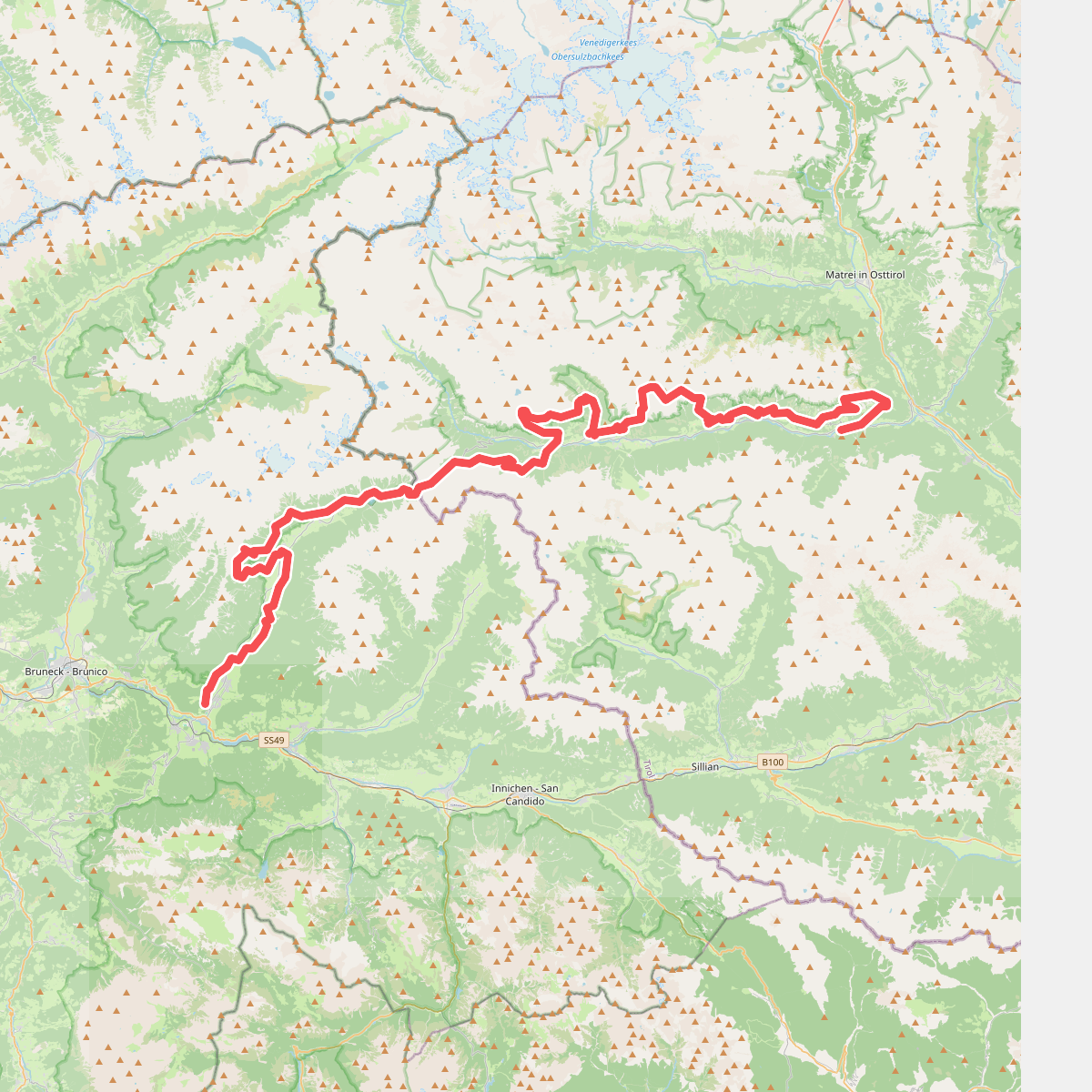
#1. 2-Täler-Trail
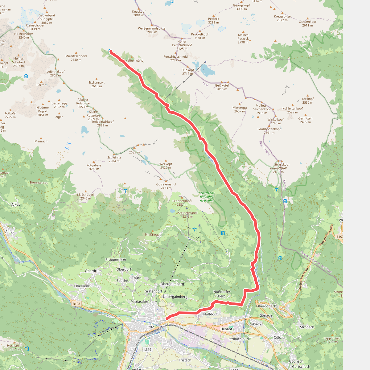
#2. 28
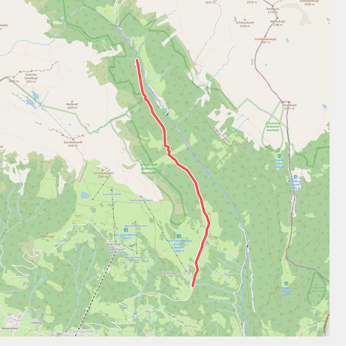
#3. 28A
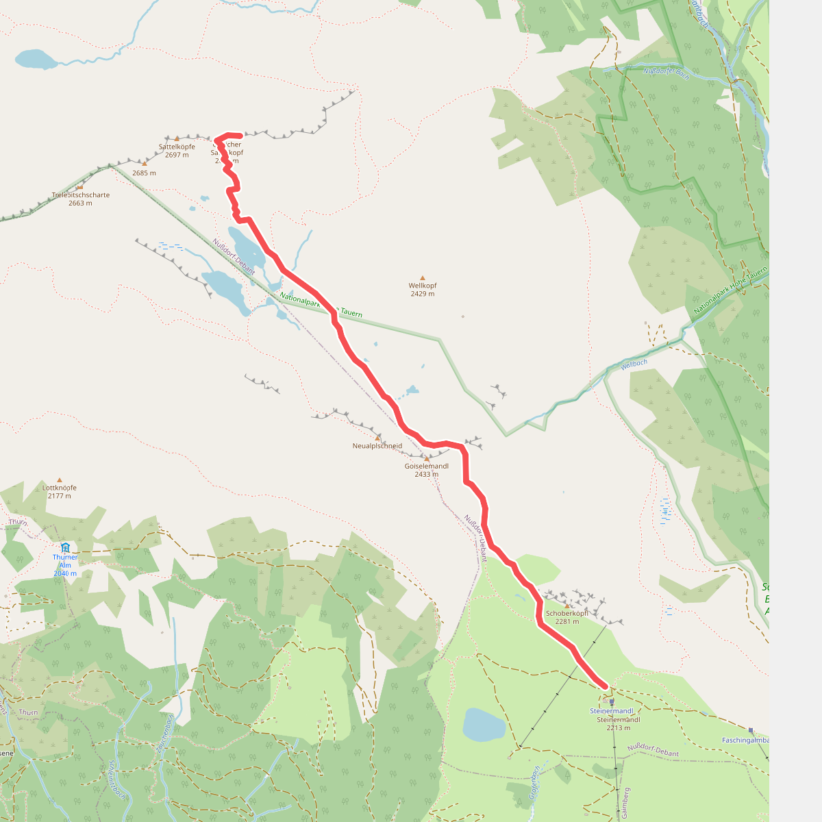
#4. 34
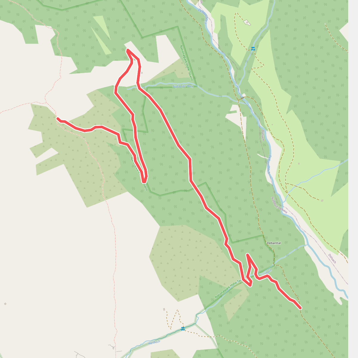
#5. 942
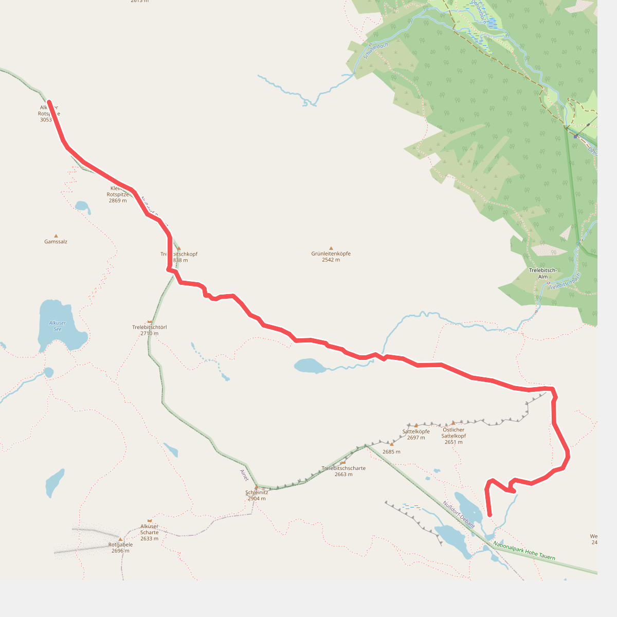
#6. 943
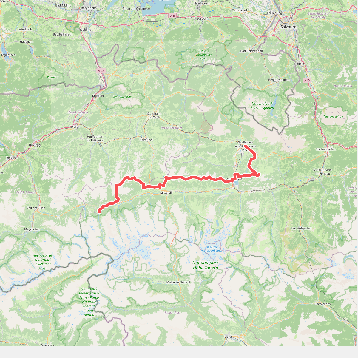
#7. Pinzgauer Grasberge – Arnoweg · Arnoweg etappe 2
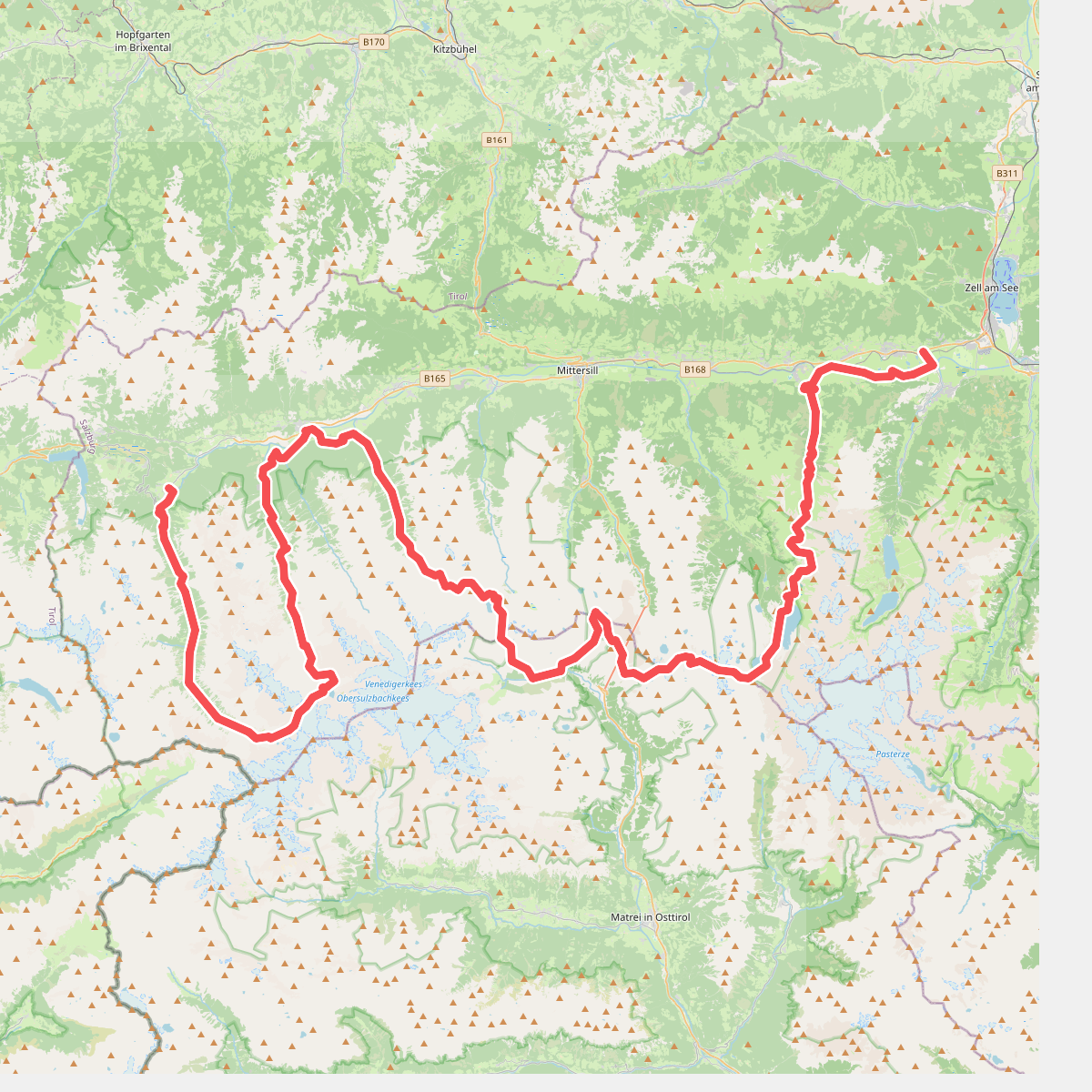
#8. (Deel 1): Keesberge – Arnoweg · Arnoweg etappe 3
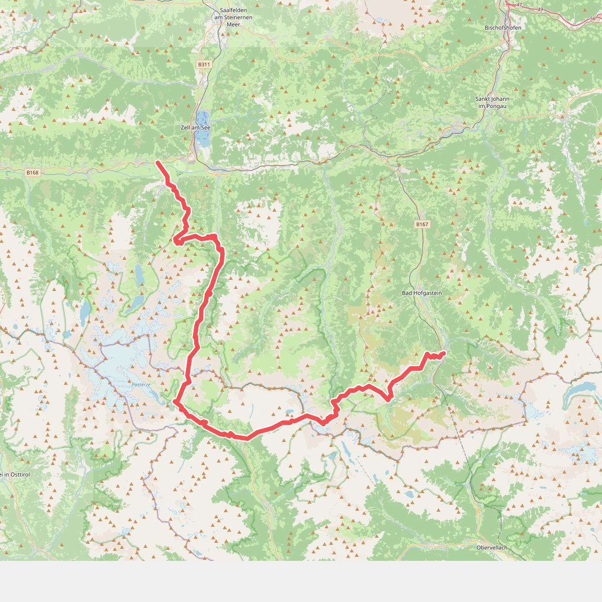
#9. (Deel 2): Keesberge – Arnoweg · Arnoweg etappe 4
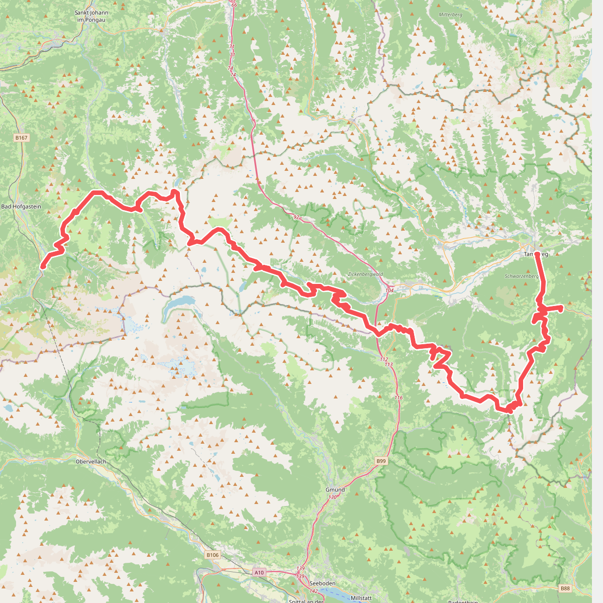
#10. Gras- en Nockberge – Arnoweg · Arnoweg etappe 5
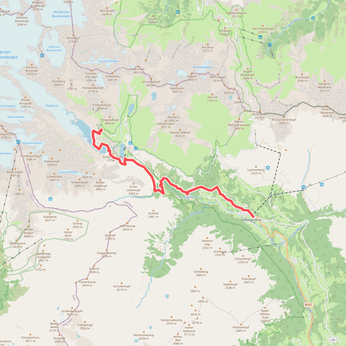
#11. Alpe Adria Trail E01