

The best hiking routes in Nationalpark Donau-Auen
Discover the best walks in Nationalpark Donau-Auen. 6 routes on the map, with descriptions, photos and GPX.
About Nationalpark Donau-Auen
Nationalpark Donau-Auen protects one of the last remaining major wetlands along the Danube. This is a flat river landscape shaped by seasonal flooding, where the terrain shifts between dense alluvial forests, dry gravel banks, and slow-moving side arms of the river. Walkers will not find any hills or panoramic viewpoints here, but rather a dense, jungle-like environment of willow, poplar, and oak trees that thrives on the constant movement of water.
Read more
About Nationalpark Donau-Auen
Nationalpark Donau-Auen protects one of the last remaining major wetlands along the Danube. This is a flat river landscape shaped by seasonal flooding, where the terrain shifts between dense alluvial forests, dry gravel banks, and slow-moving side arms of the river. Walkers will not find any hills or panoramic viewpoints here, but rather a dense, jungle-like environment of willow, poplar, and oak trees that thrives on the constant movement of water.
Read moreNationalpark Donau-Auen protects one of the last remaining major wetlands along the Danube. This is a flat river landscape shaped by seasonal flooding, where the terrain shifts between dense alluvial forests, dry gravel banks, and slow-moving side arms of the river. Walkers will not find any hills or panoramic viewpoints here, but rather a dense, jungle-like environment of willow, poplar, and oak trees that thrives on the constant movement of water.
Underfoot, the paths vary significantly depending on how close you are to the main river. You will walk on hard-packed gravel dykes, soft dirt tracks through the floodplain forest, and occasionally sandy banks near the water's edge. Because this is an active floodplain, the landscape is defined by fallen trees left to decay naturally and muddy channels that fill and empty as the Danube rises and falls. In late spring, typically around May, high water levels can submerge the lower paths entirely.
The park is highly accessible from both Vienna and Hainburg, meaning the entry points and main dyke trails are popular with cyclists and local walkers. For a quieter experience, choose the narrower, winding paths that lead deeper into the forest interior away from the main cycle routes. Be aware that strict nature protection rules apply here, requiring all visitors to remain on the marked trails to protect the nesting birds and fragile riverbank habitats.
Hiking routes in Nationalpark Donau-Auen (6)
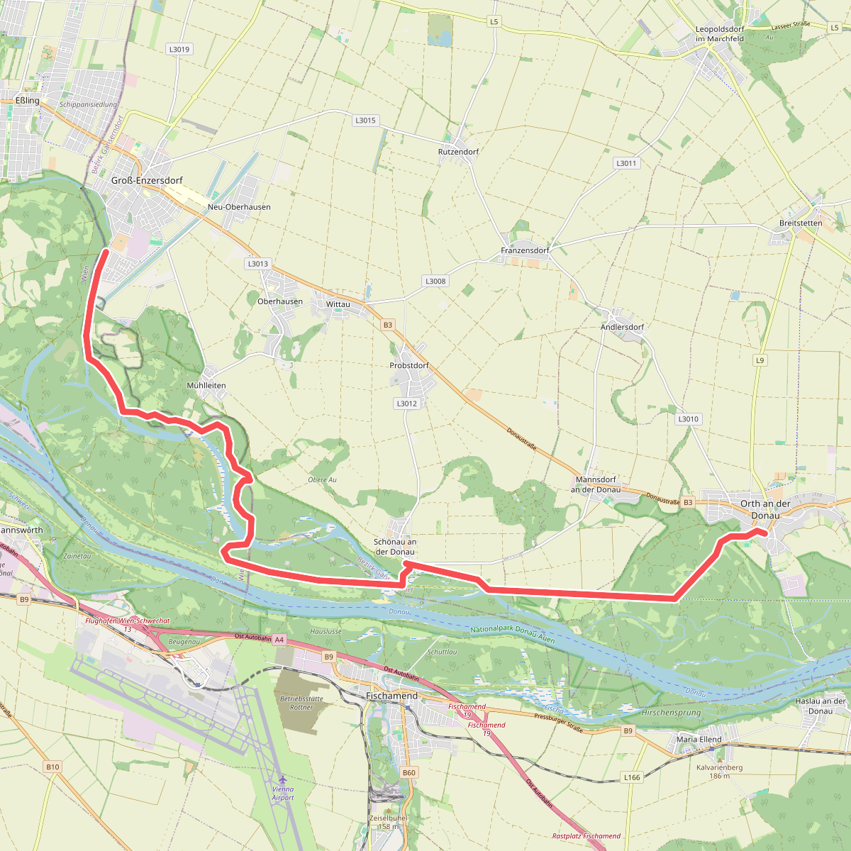
#1. Gross-Enzersdorf - Orth an der Donau
Groß-Enzersdorf,Wien,Orth an der Donau
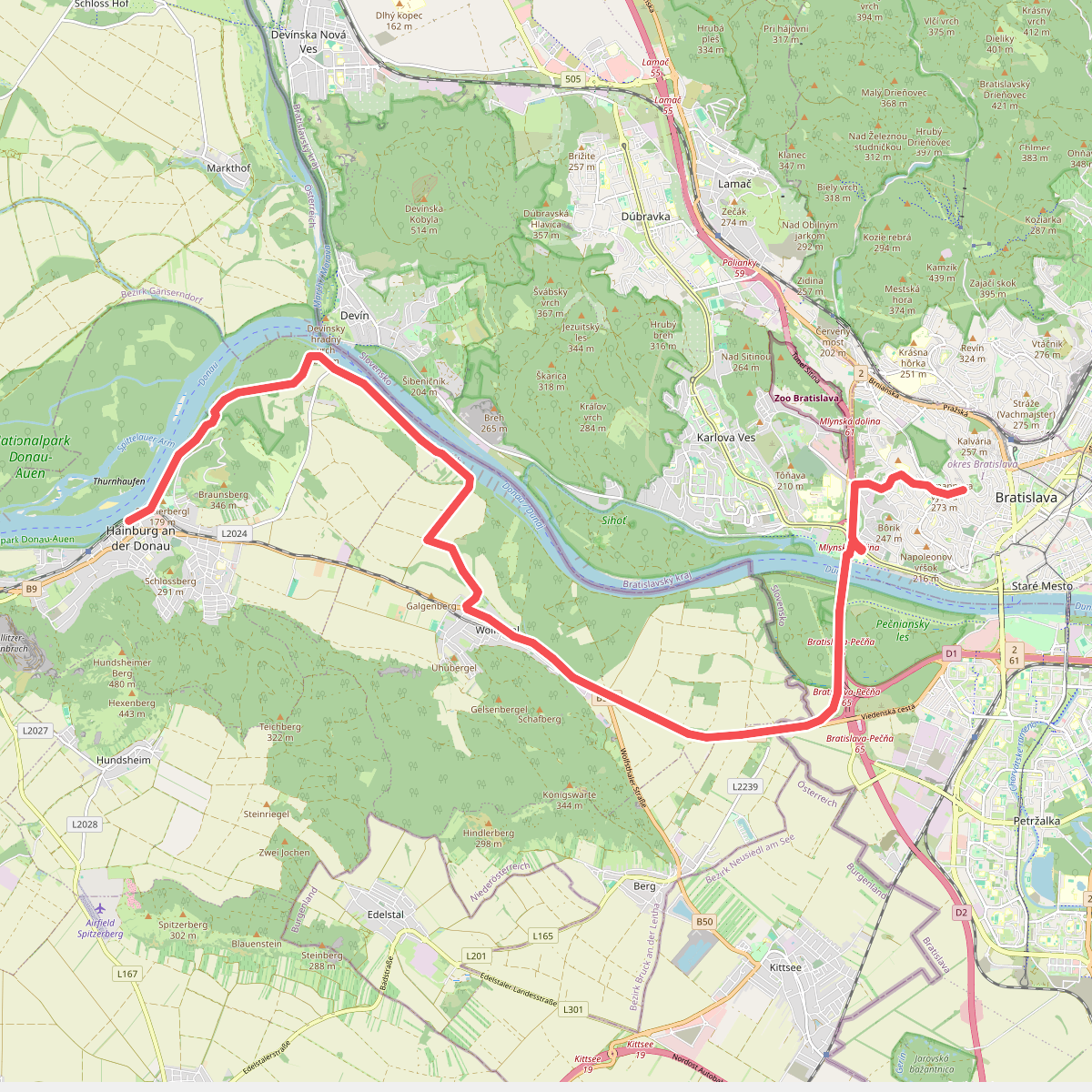
#2. Hainburg an der Donau - Bratislava
Hainburg an der Donau,Wolfsthal,Berg,Bratislava
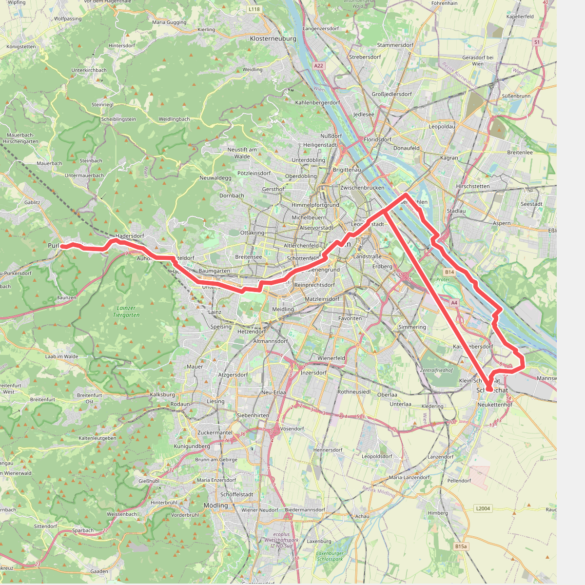
#3. Jakobsweg Wien
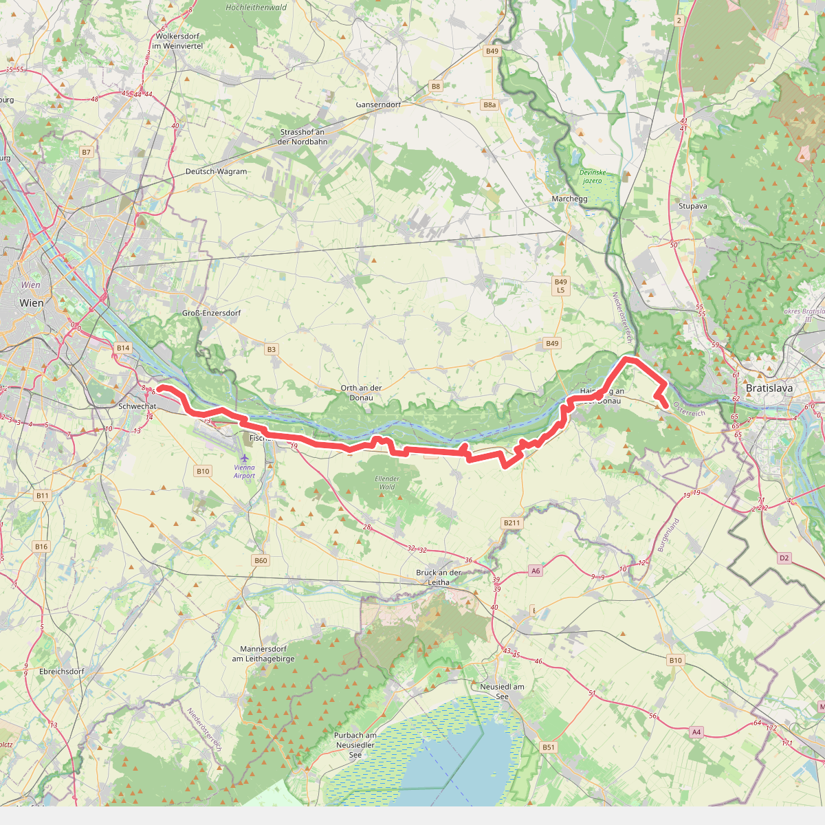
#4. Jakobsweg Wolfsthal-Schwechat
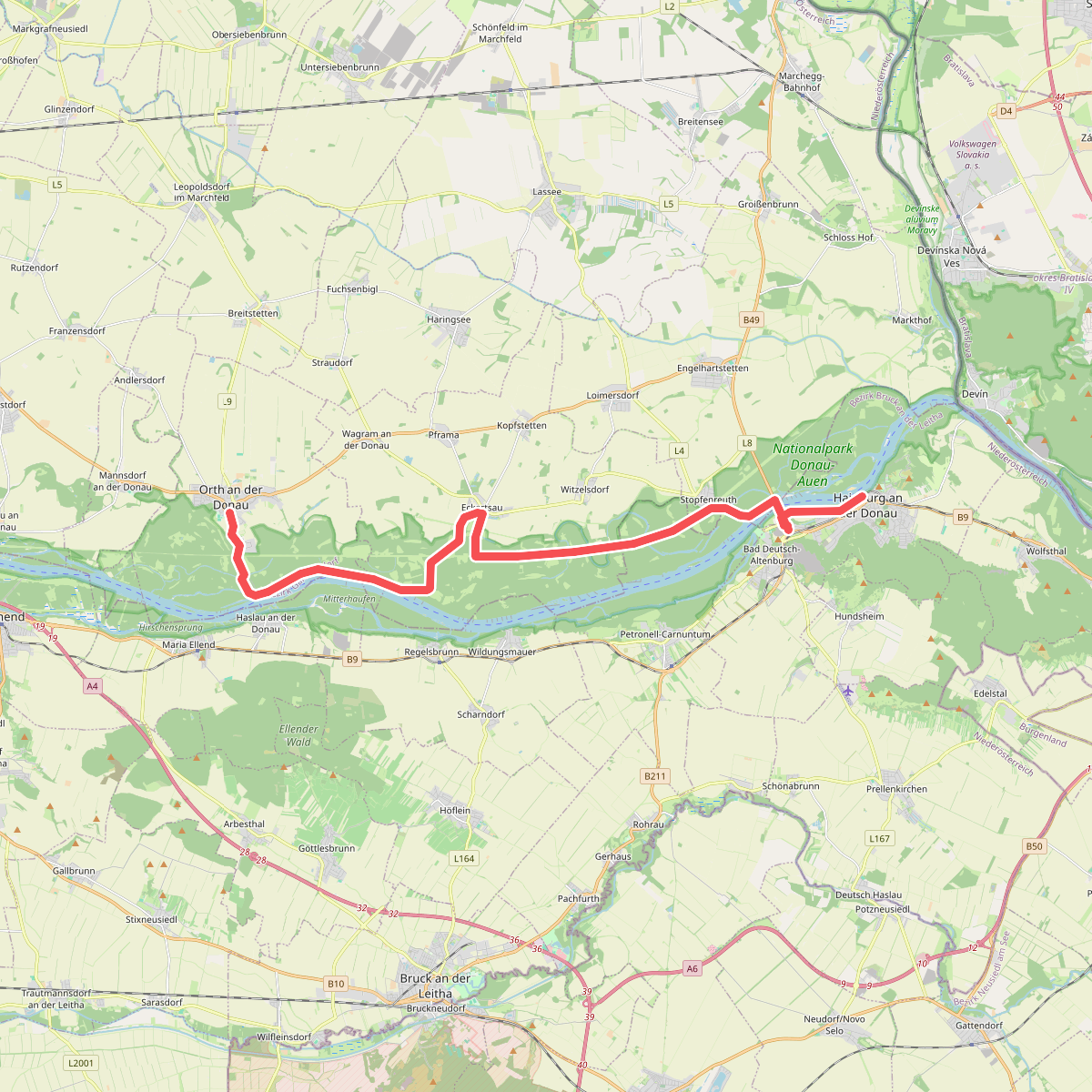
#5. Orth an der Donau - Hainburg an der Donau
Orth an der Donau,Eckartsau,Petronell-Carnuntum,Engelhartstetten,Hainburg an der Donau
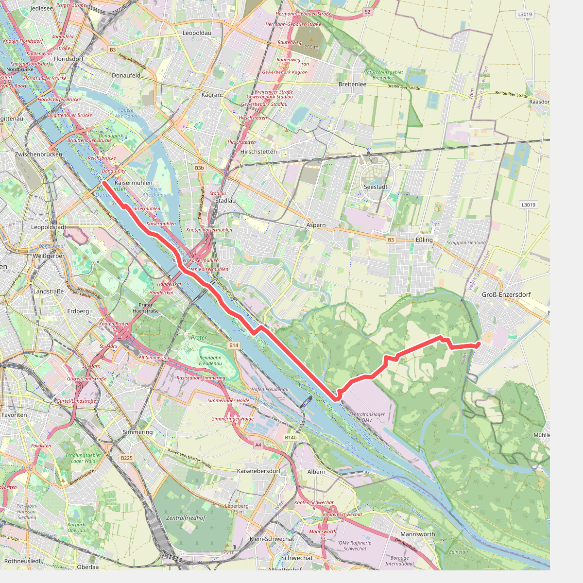
#6. Wien - Gross-Enzersdorf
Wien,Groß-Enzersdorf



