

The best hiking routes in Nationalpark Berchtesgaden
Discover the best walks in Nationalpark Berchtesgaden. 58 routes on the map, with descriptions, photos and GPX.
About Nationalpark Berchtesgaden
Nationalpark Berchtesgaden is characterized by its sheer limestone cliffs, steep dolomite rock faces, and deep glacial valleys. Unlike flatter forest reserves, walking here involves significant elevation changes. Underfoot, you will encounter gravelly scree slopes, exposed tree roots on forest paths, and solid rock steps. The landscape is defined by distinct vertical zones, where dense mixed mountain forests of beech and spruce at lower elevations give way to twisted mountain pines and bare, grey karst plateaus higher up.
Read more
About Nationalpark Berchtesgaden
Nationalpark Berchtesgaden is characterized by its sheer limestone cliffs, steep dolomite rock faces, and deep glacial valleys. Unlike flatter forest reserves, walking here involves significant elevation changes. Underfoot, you will encounter gravelly scree slopes, exposed tree roots on forest paths, and solid rock steps. The landscape is defined by distinct vertical zones, where dense mixed mountain forests of beech and spruce at lower elevations give way to twisted mountain pines and bare, grey karst plateaus higher up.
Read moreNationalpark Berchtesgaden is characterized by its sheer limestone cliffs, steep dolomite rock faces, and deep glacial valleys. Unlike flatter forest reserves, walking here involves significant elevation changes. Underfoot, you will encounter gravelly scree slopes, exposed tree roots on forest paths, and solid rock steps. The landscape is defined by distinct vertical zones, where dense mixed mountain forests of beech and spruce at lower elevations give way to twisted mountain pines and bare, grey karst plateaus higher up.
Water shapes what you see along the trails. In the valleys, you will walk beside cold, clear torrents and deep lakes like the Königssee, where the water reflects the towering rock walls. Higher up on the Steinernes Meer plateau, the water disappears entirely into the porous limestone, leaving a dry, cracked stone desert marked by deep fissures and sinkholes. This contrast means some paths follow rushing streams while others traverse arid, waterless stone fields.
In June, the high alpine meadows show a brief, intense green as the snow melts, revealing low-growing alpine flowers. The lower valley trails are accessible earlier in the spring, while the high-altitude routes remain covered in snow well into the summer. The park is not a place for gentle, rolling strolls; most routes require steady footwork on steep, uneven ground, and the well-known lakeside paths are naturally busier than the demanding, exposed trails on the upper karst peaks.
Hiking routes in Nationalpark Berchtesgaden (58)
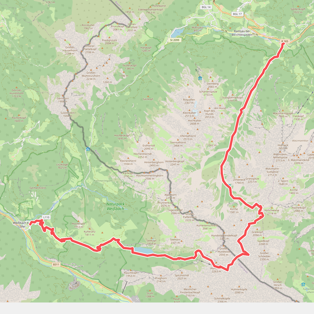
#1. AV Weg 411
Ramsau bei Berchtesgaden,Saalfelden am Steinernen Meer,Weißbach bei Lofer
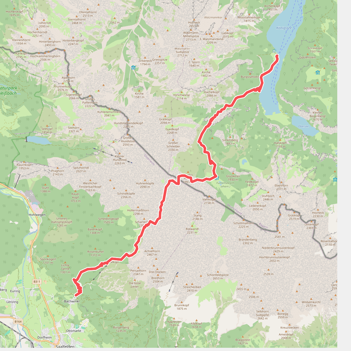
#2. AV Weg 412
Schönau am Königssee,Saalfelden am Steinernen Meer
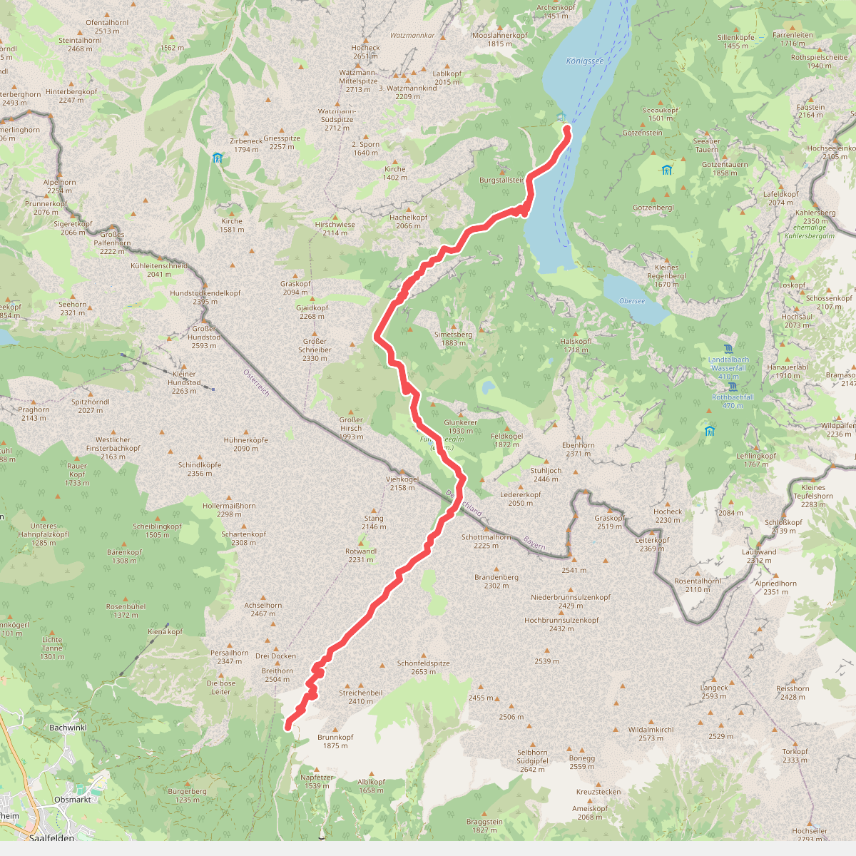
#3. AV Weg 413
Schönau am Königssee,Maria Alm am Steinernen Meer
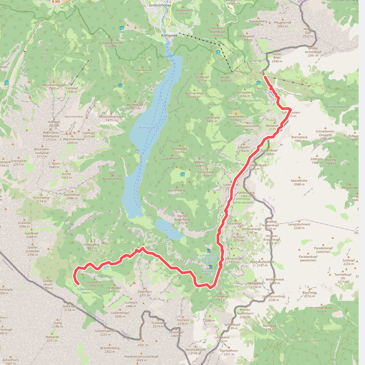
#4. AV Weg 416
Schönau am Königssee,Golling an der Salzach
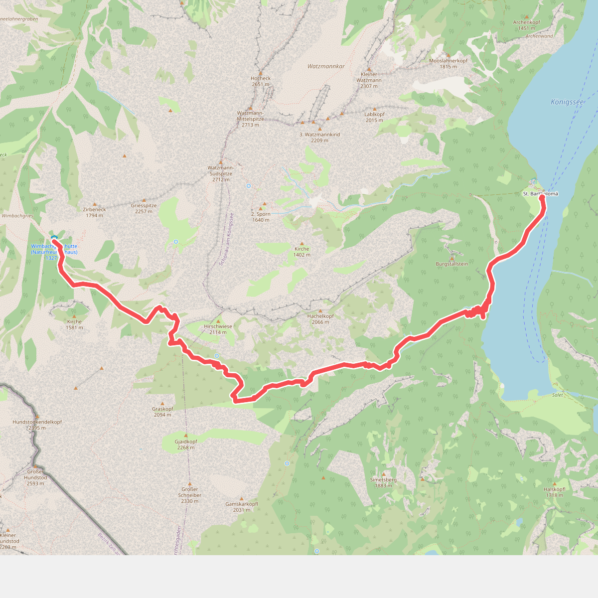
#5. AV Weg 419
Ramsau bei Berchtesgaden,Schönau am Königssee
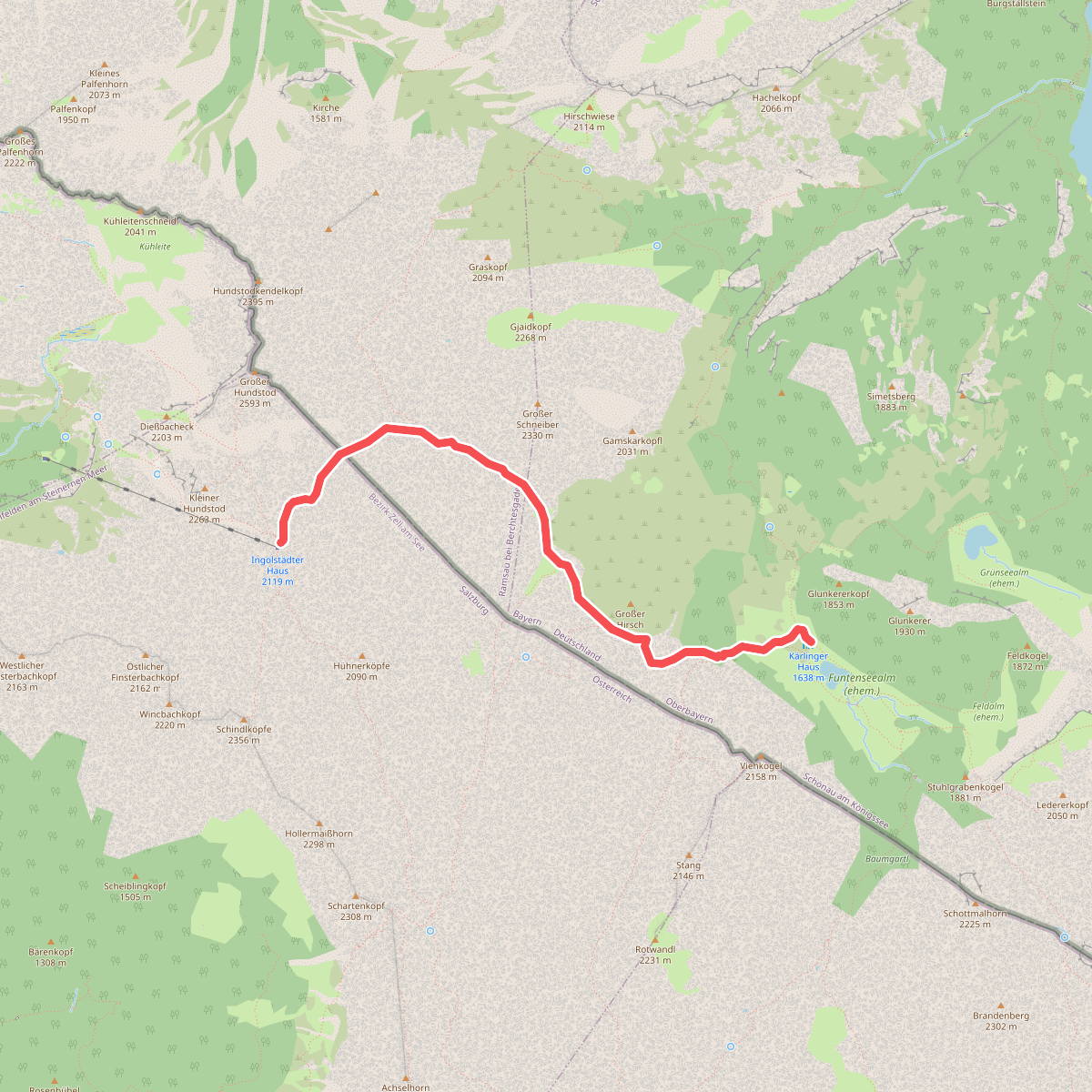
#6. AV Weg 420
Schönau am Königssee,Ramsau bei Berchtesgaden,Saalfelden am Steinernen Meer
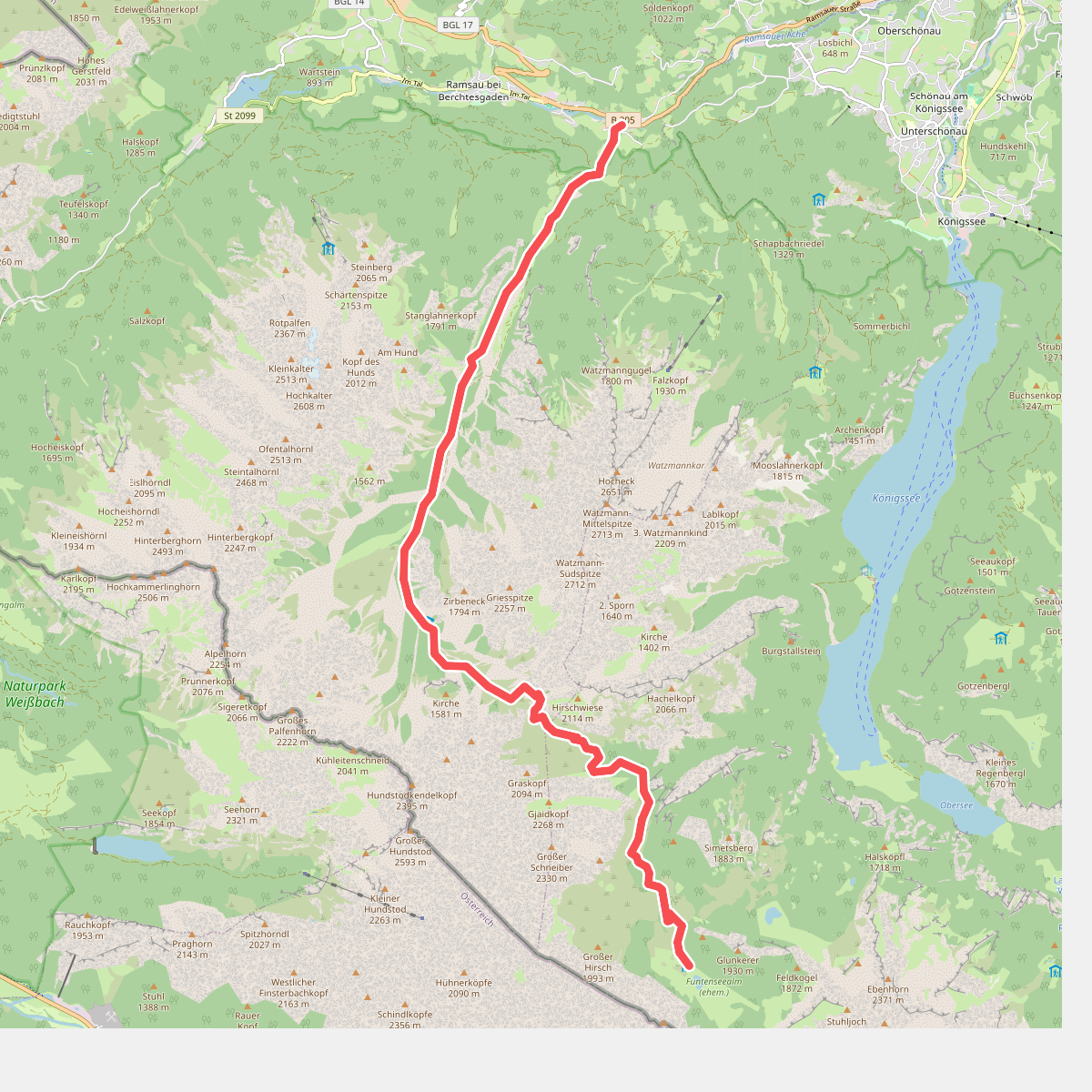
#7. AV Weg 421 (Wimbachtal)
Ramsau bei Berchtesgaden,Schönau am Königssee
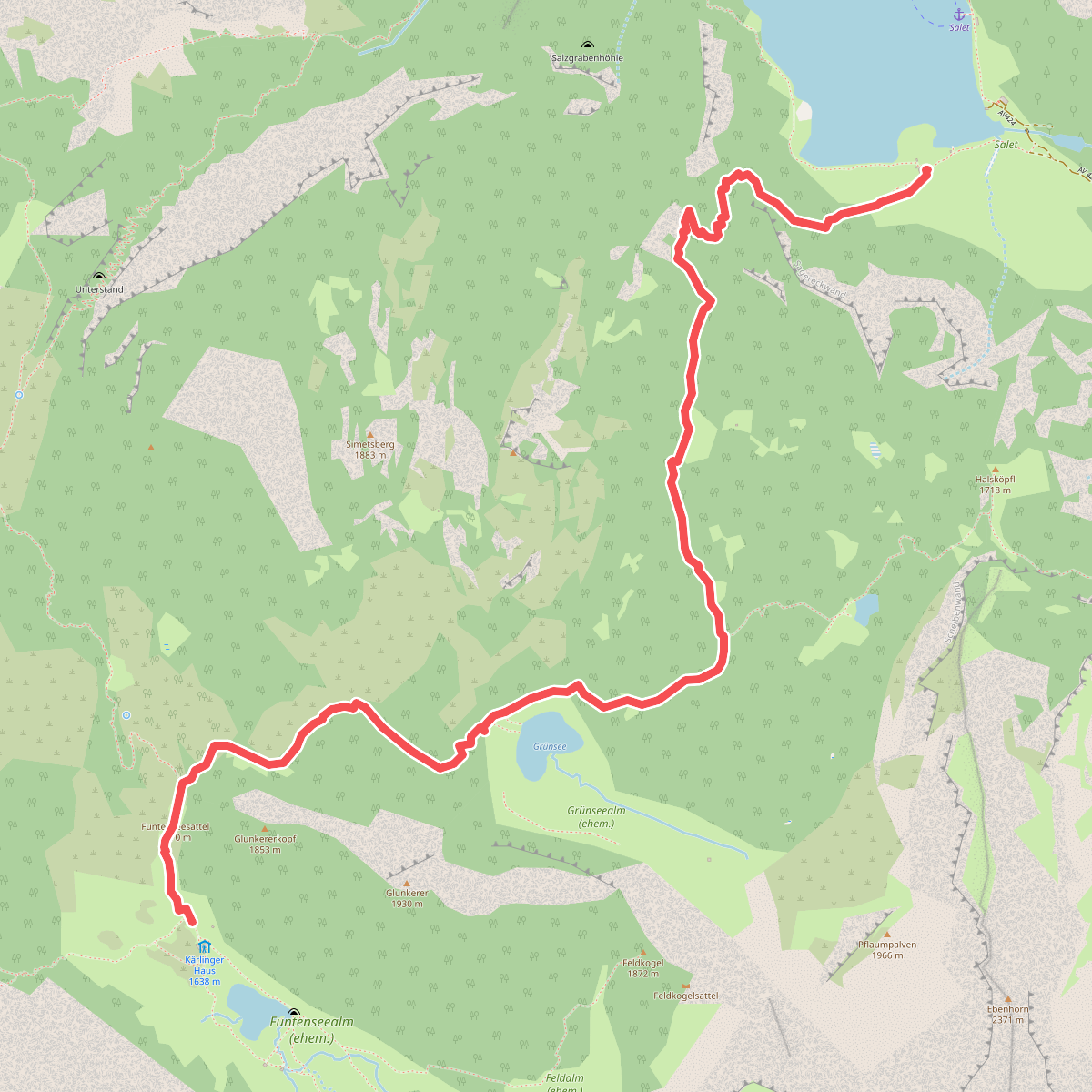
#8. AV Weg 422 (Sagerecksteig)
Schönau am Königssee
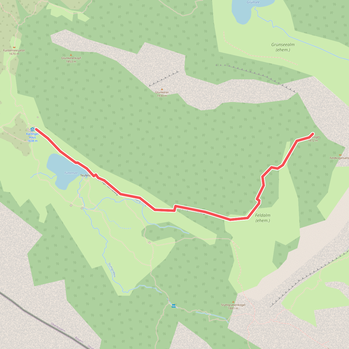
#9. AV Weg 423
Schönau am Königssee
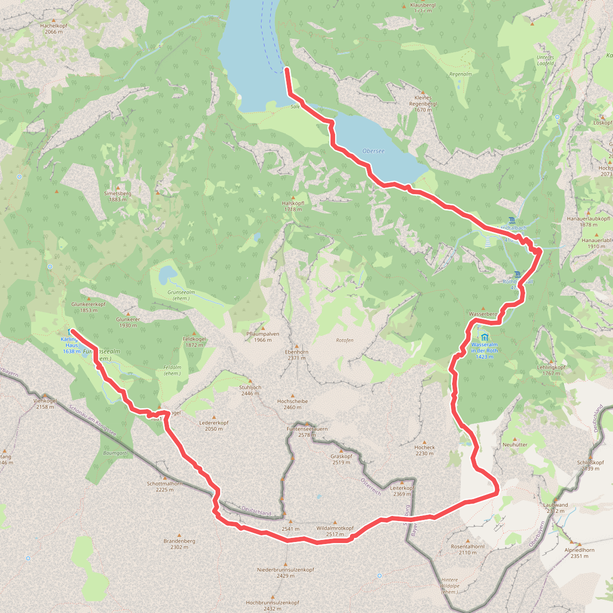
#10. AV Weg 424 (Röthsteig)
Schönau am Königssee,Maria Alm am Steinernen Meer
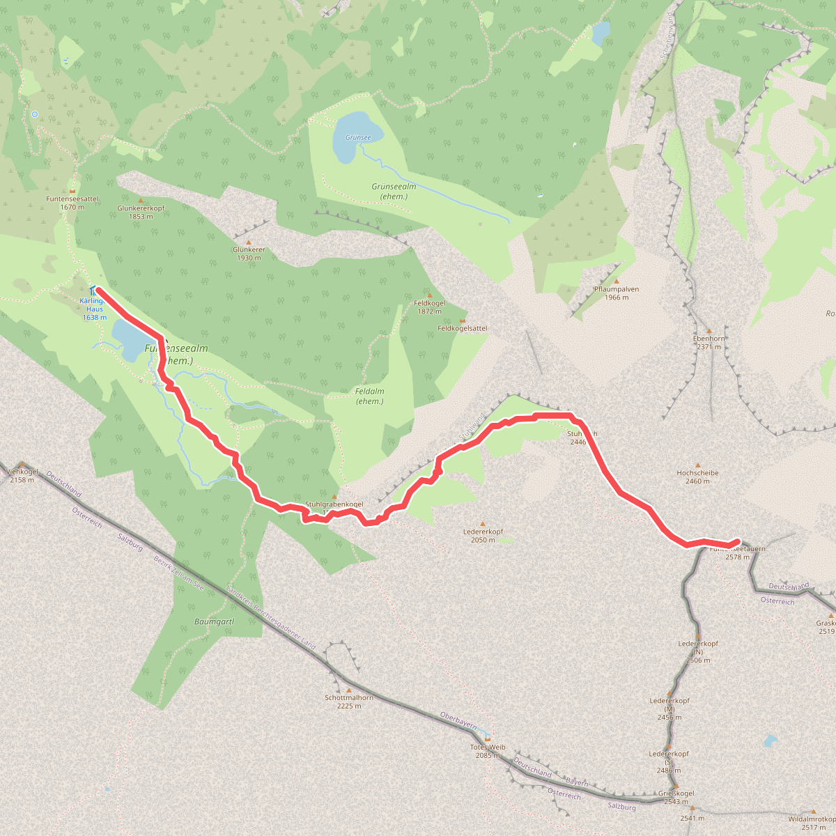
#11. AV Weg 429 (Funtenseetauern Normalweg)
Schönau am Königssee
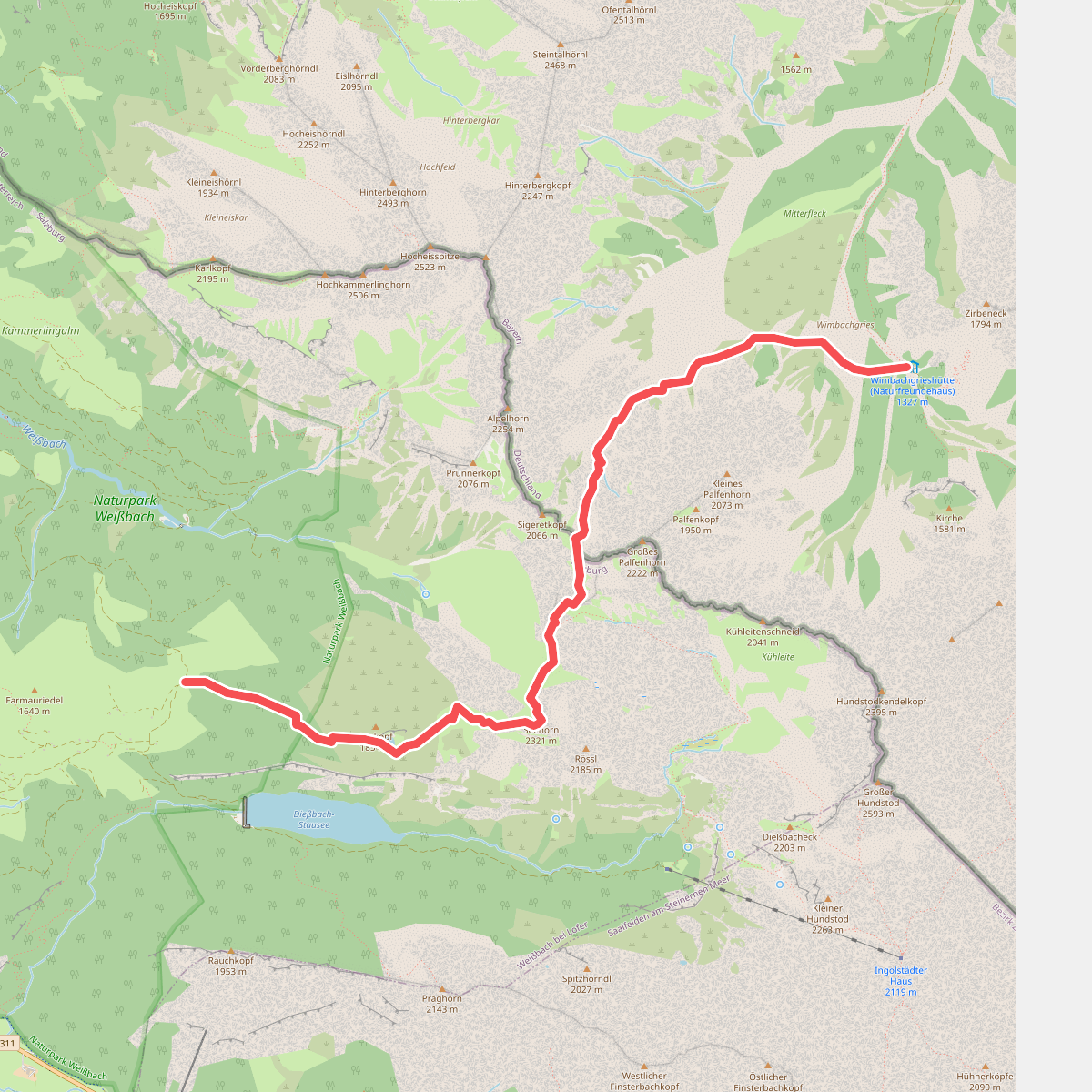
#12. AV Weg 440 (Wimbachgrieshütte - Loferer Seilergraben - Seehorn)
Ramsau bei Berchtesgaden,Weißbach bei Lofer



