

The best hiking routes in Národný park Nízke Tatry
Discover the best walks in Národný park Nízke Tatry. 10 routes on the map, with descriptions, photos and GPX.
About Národný park Nízke Tatry
Národný park Nízke Tatry offers a distinct walking experience defined by a long, continuous main ridge that stretches east to west. Unlike the jagged, rocky needles of the neighboring Tatras to the north, this range features rounded, grassy crests known as hoĹe, which are interspersed with vast fields of granite boulders. Walkers will find a stark contrast between the exposed, windswept alpine zone above the treeline and the deep, dark spruce forests that cover the lower slopes. The bedrock here is predominantly granite in the central parts, yielding acidic soils and blueberry barrens, while the western and eastern ends feature limestone karst with steep gorges and caves.
Read more
About Národný park Nízke Tatry
Národný park Nízke Tatry offers a distinct walking experience defined by a long, continuous main ridge that stretches east to west. Unlike the jagged, rocky needles of the neighboring Tatras to the north, this range features rounded, grassy crests known as hoĹe, which are interspersed with vast fields of granite boulders. Walkers will find a stark contrast between the exposed, windswept alpine zone above the treeline and the deep, dark spruce forests that cover the lower slopes. The bedrock here is predominantly granite in the central parts, yielding acidic soils and blueberry barrens, while the western and eastern ends feature limestone karst with steep gorges and caves.
Read moreNárodný park Nízke Tatry offers a distinct walking experience defined by a long, continuous main ridge that stretches east to west. Unlike the jagged, rocky needles of the neighboring Tatras to the north, this range features rounded, grassy crests known as hoĹe, which are interspersed with vast fields of granite boulders. Walkers will find a stark contrast between the exposed, windswept alpine zone above the treeline and the deep, dark spruce forests that cover the lower slopes. The bedrock here is predominantly granite in the central parts, yielding acidic soils and blueberry barrens, while the western and eastern ends feature limestone karst with steep gorges and caves.
Underfoot, the trails vary from soft forest loam and pine needle paths in the valleys to rough, uneven stone steps and loose scree along the red-marked ridge trail. In June, the high meadows are bright with alpine wildflowers, while by October, the dwarf pine belt turns a deep rust color. The main ridge path requires steady footwork over blocky granite terrain, where the trail is often defined by stone cairns rather than a worn dirt track.
This park is not a place for gentle, flat strolls; even the approach hikes through the lateral valleys involve sustained climbs through dense timber before reaching the open crests. The central section around Āumbier and Chopok is highly accessible by cable cars, meaning these specific summits are often busy with visitors. Walkers seeking a more solitary experience can head to the eastern wilderness sections toward KrĹova hoĹa, where the forest feels more untamed and the paths are less worn.
Hiking routes in Národný park Nízke Tatry (10)
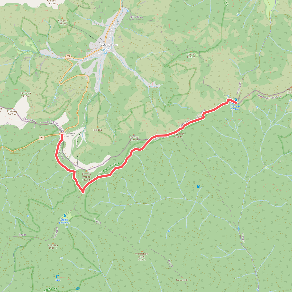
#1. Certovica - Utula Ramza
okres Liptovský Mikuláš,okres Brezno
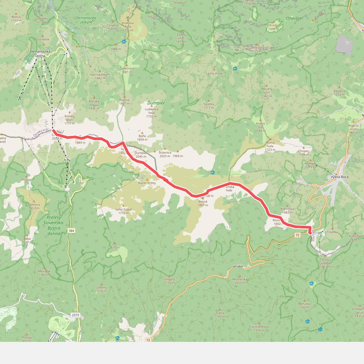
#2. Chopok - Certovica
okres Brezno,Brezno,okres Liptovský Mikuláš
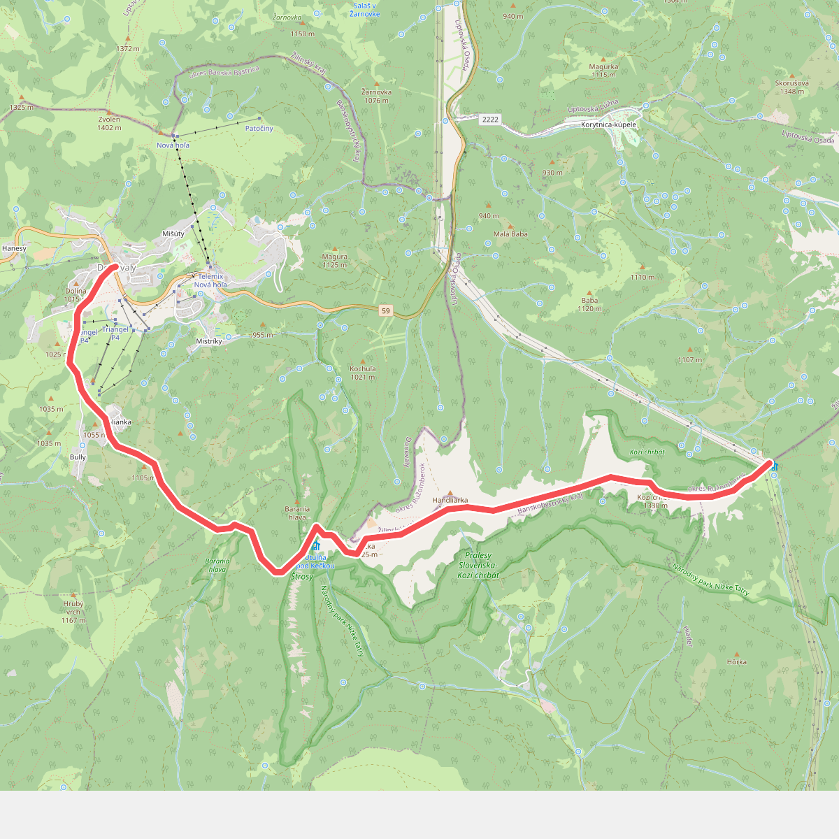
#3. Donavaly - Hiadelsky sedlo
okres Banská Bystrica,okres Ružomberok
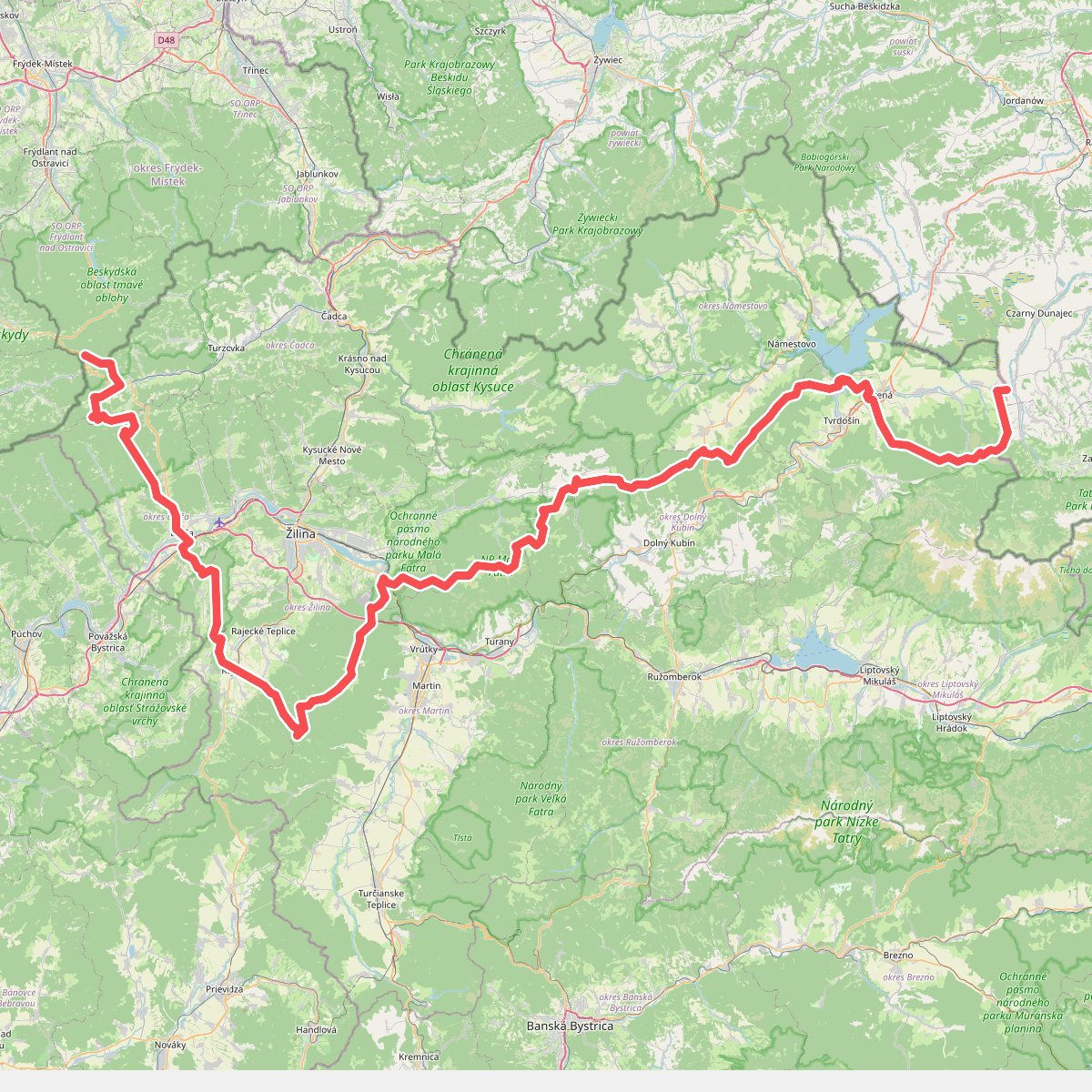
#4. European long distance path E3 - part Slovakia (west)
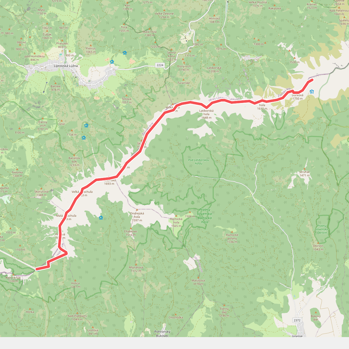
#5. Hiadelsky sedlo - Utulna Durkova
okres Ružomberok,okres Banská Bystrica,okres Brezno,okres Liptovský Mikuláš
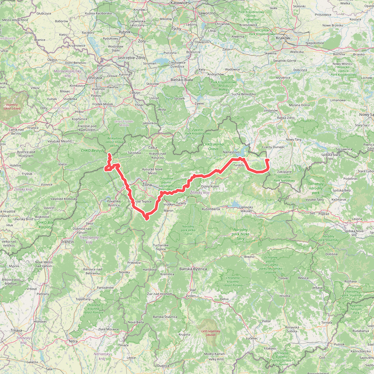
#6. Internationaler Bergwanderweg Eisenach–Budapest (Slowakei West)
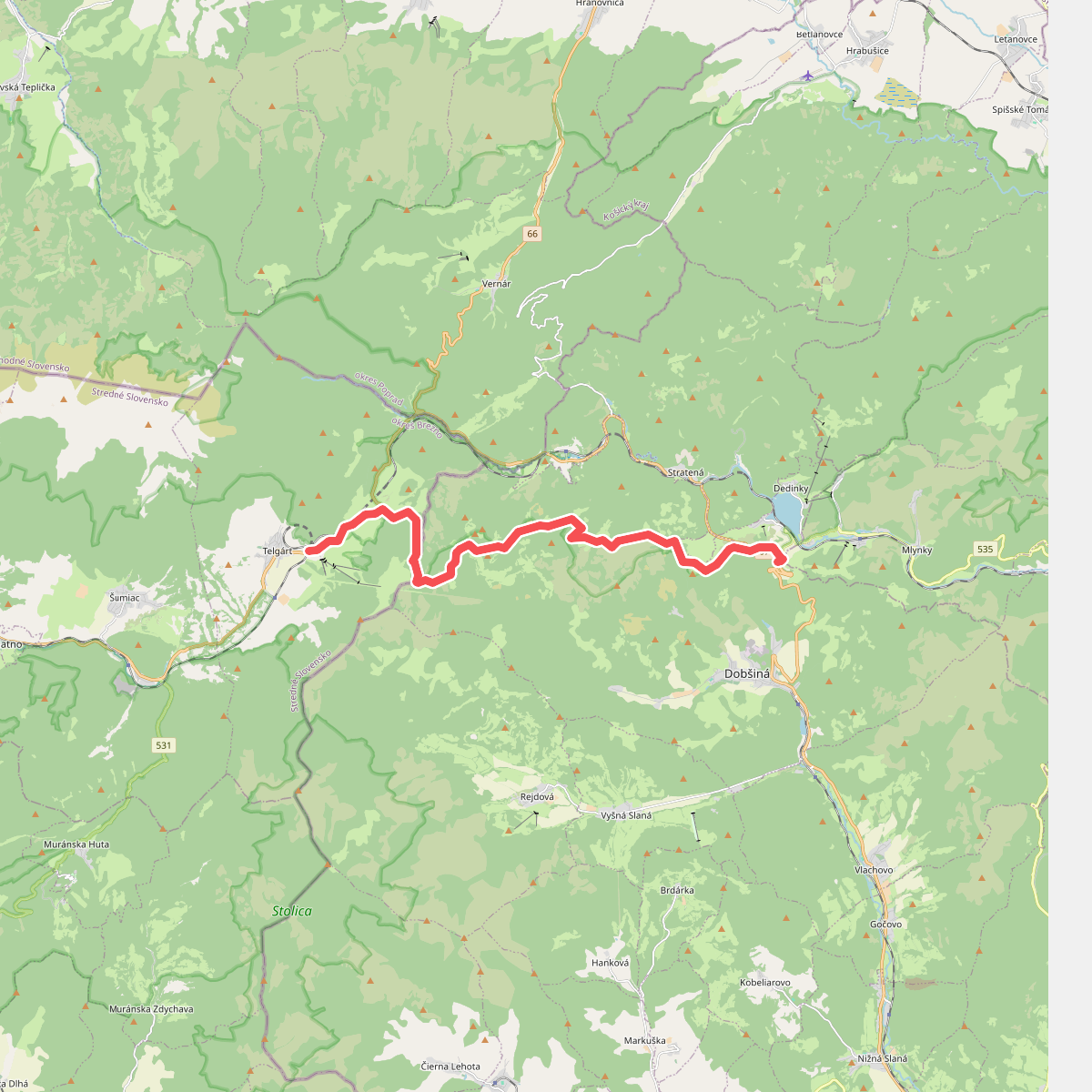
#7. Telgart - Mlynky
okres Brezno,Dobšiná,okres Rožňava
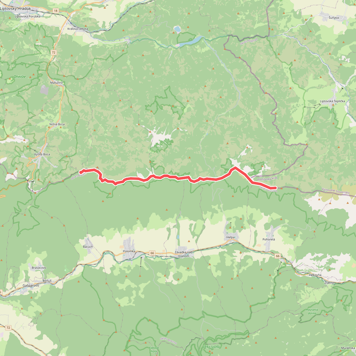
#8. Utlna Ramza - Utulna Andrejcova
okres Liptovský Mikuláš,okres Brezno,okres Poprad
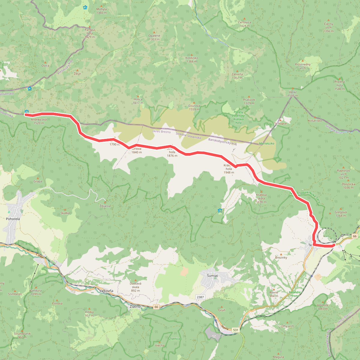
#9. Utulna Andrejcova - Telgart
okres Poprad,okres Brezno
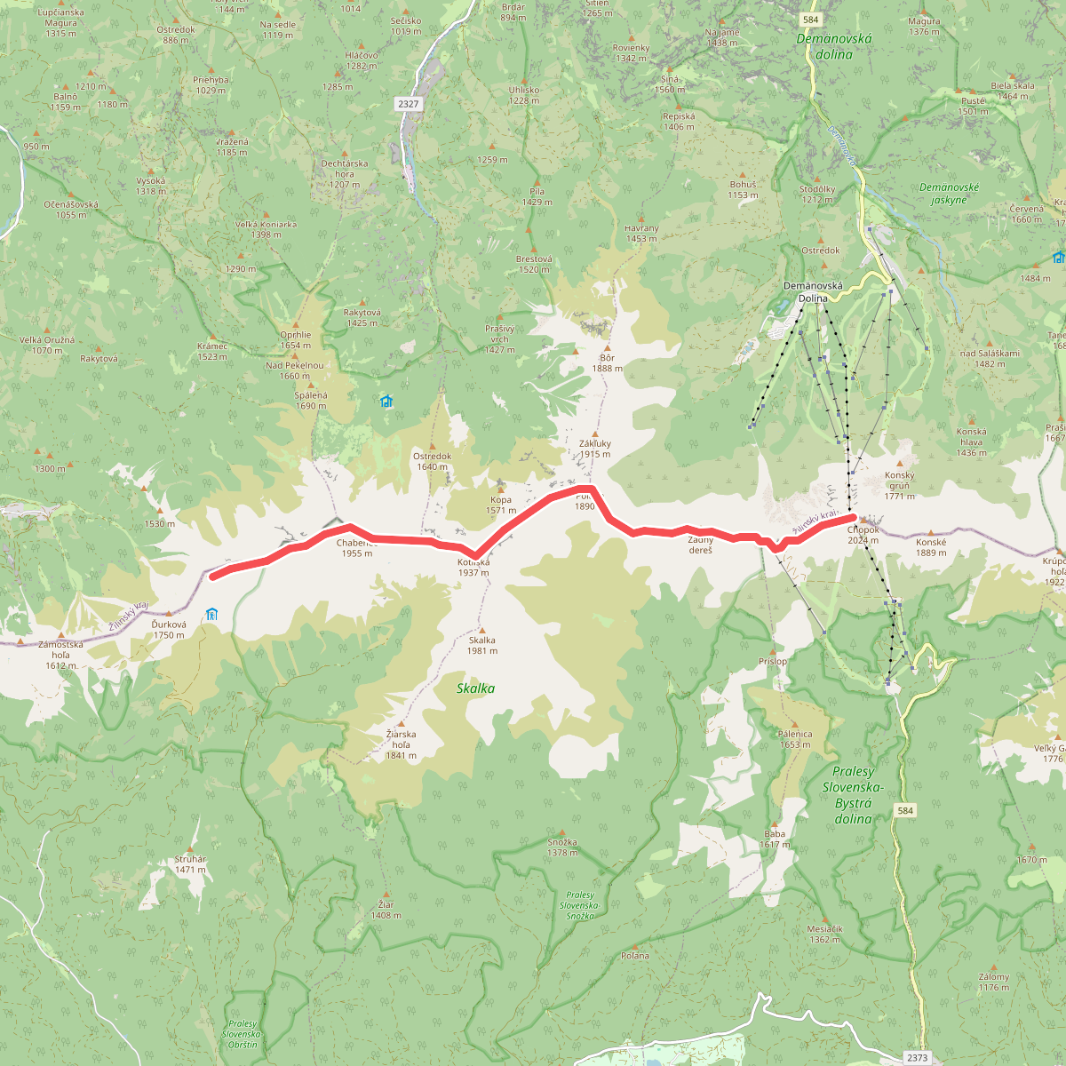
#10. Utulna Durkova - Chopok
okres Brezno,okres Liptovský Mikuláš



