The best hiking routes in Национални парк Фрушка гора
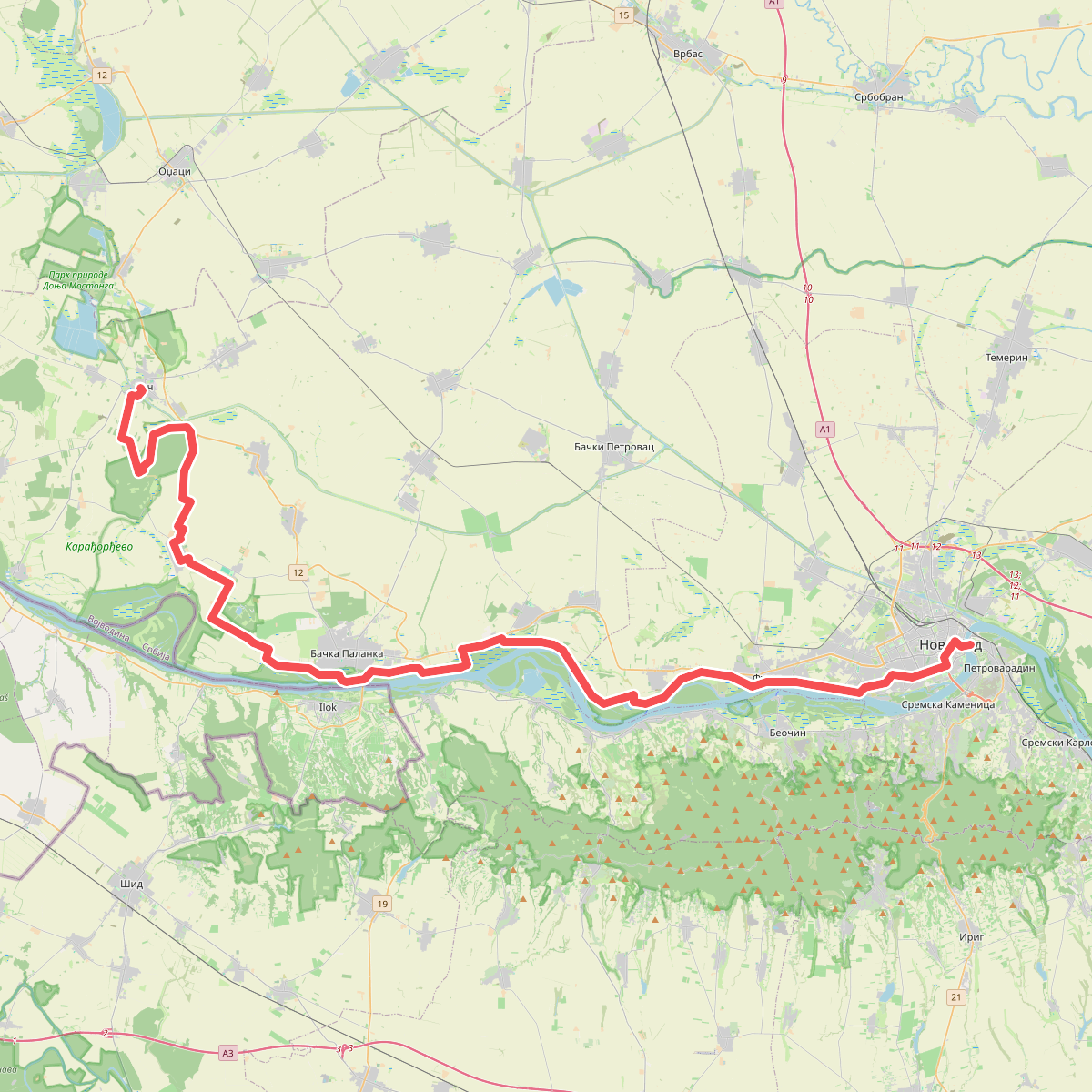
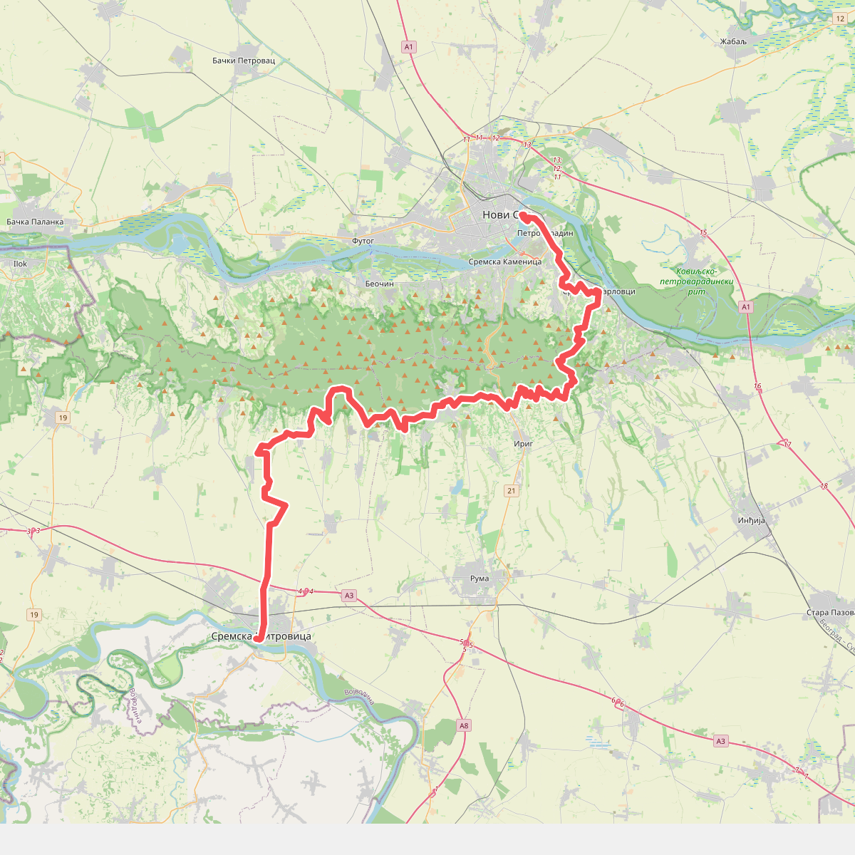
Discover the best walks in Национални парк Фрушка гора. 2 routes on the map, with descriptions, photos and GPX.
Managed by ЈП НП „Фрушка гора”
About Национални парк Фрушка гора
Национални парк Фрушка гора rises as a single, isolated low mountain ridge above the flat agricultural plains of Vojvodina. Unlike the rugged, rocky peaks found in the south of the country, this area consists of gently rolling hills covered in dense deciduous forest, predominantly lime, oak, and beech. The terrain is defined by a network of deep, shaded valleys carved by small streams, which can make the forest floor damp and muddy underfoot. Walkers should expect clay-heavy soil on the narrower paths, while the main ridge is traversed by wider, gravelled forestry tracks.
Read more
About Национални парк Фрушка гора
Национални парк Фрушка гора rises as a single, isolated low mountain ridge above the flat agricultural plains of Vojvodina. Unlike the rugged, rocky peaks found in the south of the country, this area consists of gently rolling hills covered in dense deciduous forest, predominantly lime, oak, and beech. The terrain is defined by a network of deep, shaded valleys carved by small streams, which can make the forest floor damp and muddy underfoot. Walkers should expect clay-heavy soil on the narrower paths, while the main ridge is traversed by wider, gravelled forestry tracks.
Read moreНационални парк Фрушка гора rises as a single, isolated low mountain ridge above the flat agricultural plains of Vojvodina. Unlike the rugged, rocky peaks found in the south of the country, this area consists of gently rolling hills covered in dense deciduous forest, predominantly lime, oak, and beech. The terrain is defined by a network of deep, shaded valleys carved by small streams, which can make the forest floor damp and muddy underfoot. Walkers should expect clay-heavy soil on the narrower paths, while the main ridge is traversed by wider, gravelled forestry tracks.
The landscape changes noticeably between the northern slopes, which drop relatively steeply toward the Danube river, and the gentler southern slopes. On the northern side, the canopy is thick and the paths are often cooler and darker, with occasional views opening up towards the river. The southern side feels more open, where the forest gradually gives way to orchards, vineyards, and meadows. This transition zone is where you will find several historic monasteries, which are popular focal points for walkers and can make these specific trailheads busier on weekends.
Underfoot, the paths are mostly natural earth and leaf litter, which becomes slick after wet weather. There are no high alpine vistas or dramatic rocky scrambles here; the appeal lies in the quiet, consistent woodland cover and the steady, moderate climbs. In late April and May, the forest floor is particularly green with fresh growth, while autumn brings a heavy drop of leaves that can obscure the tree roots and stones along the less-maintained paths.